Grand River Revitalization Project
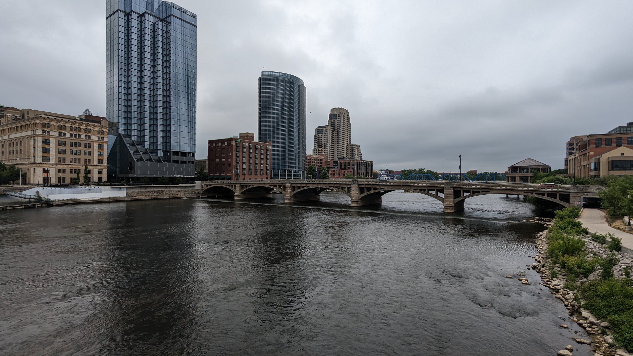
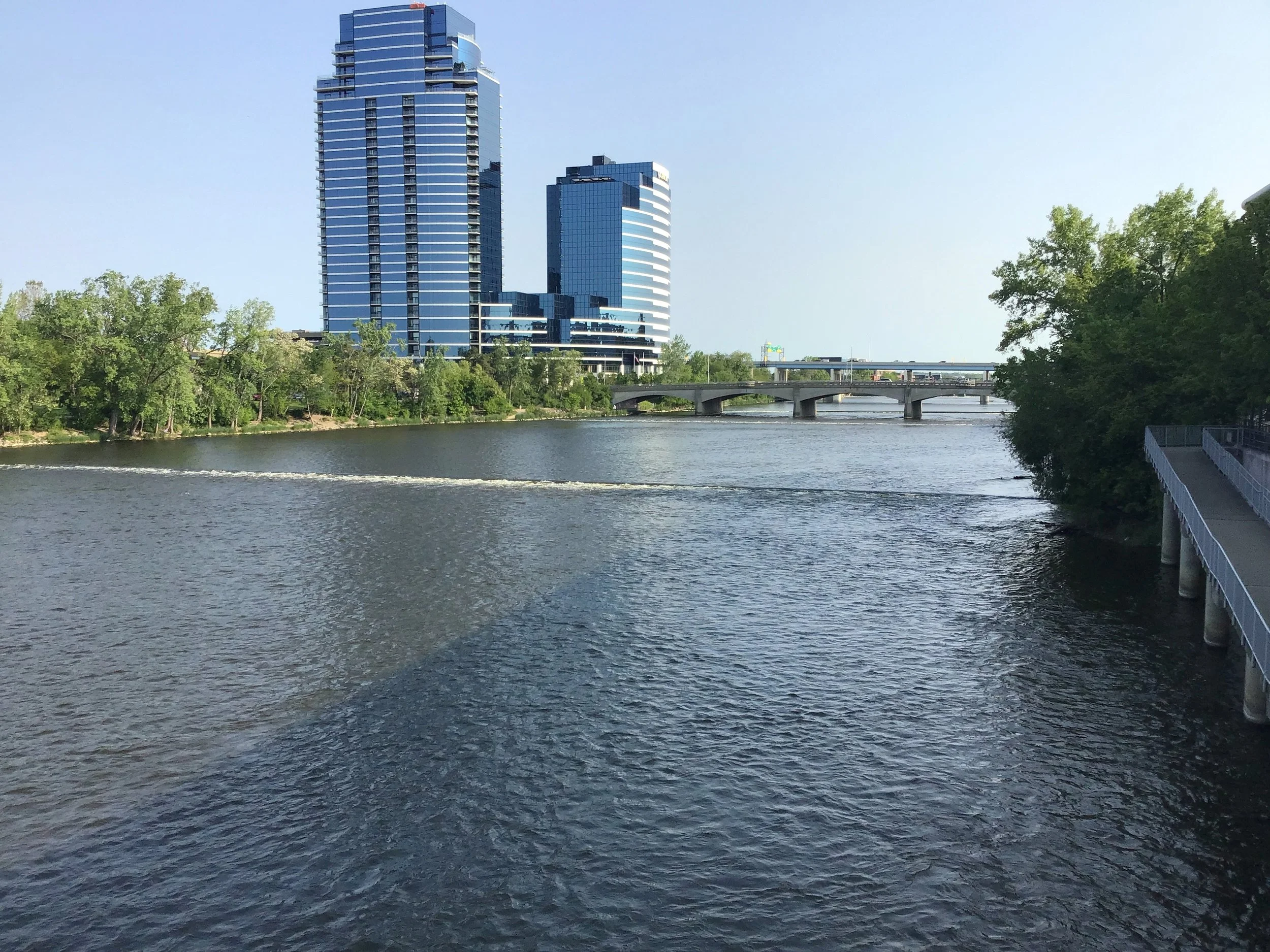
The Grand River Revitalization Project is an initiative headed by Grand Rapids Whitewater (GRWW) and the City of Grand Rapids. The goal is to partner with users and managers in the region to create a safer, more exciting river experience for everyone. The project is currently in redesigning the project to remove dangerous low-head dams to create a more natural river flow by installing boulders and improving habitat for fish and other aquatic species.
The project would restore the river as close to its natural state as possible while still providing flood protection. Additionally, these changes would provide environmental, social and cultural, and economic benefits to the City of Grand Rapids. To read more about the details of the Grand River Revitalization Project and GRWW, click here.
Take a tour of the project area by visiting this interactive Restoration Tour Story Map!
Find out more about the history of the project and the science, culture, and social issues around the project by visiting our Grand Restoration Story Map.
As a partner in the project, LGROW supports the work of GRWW.

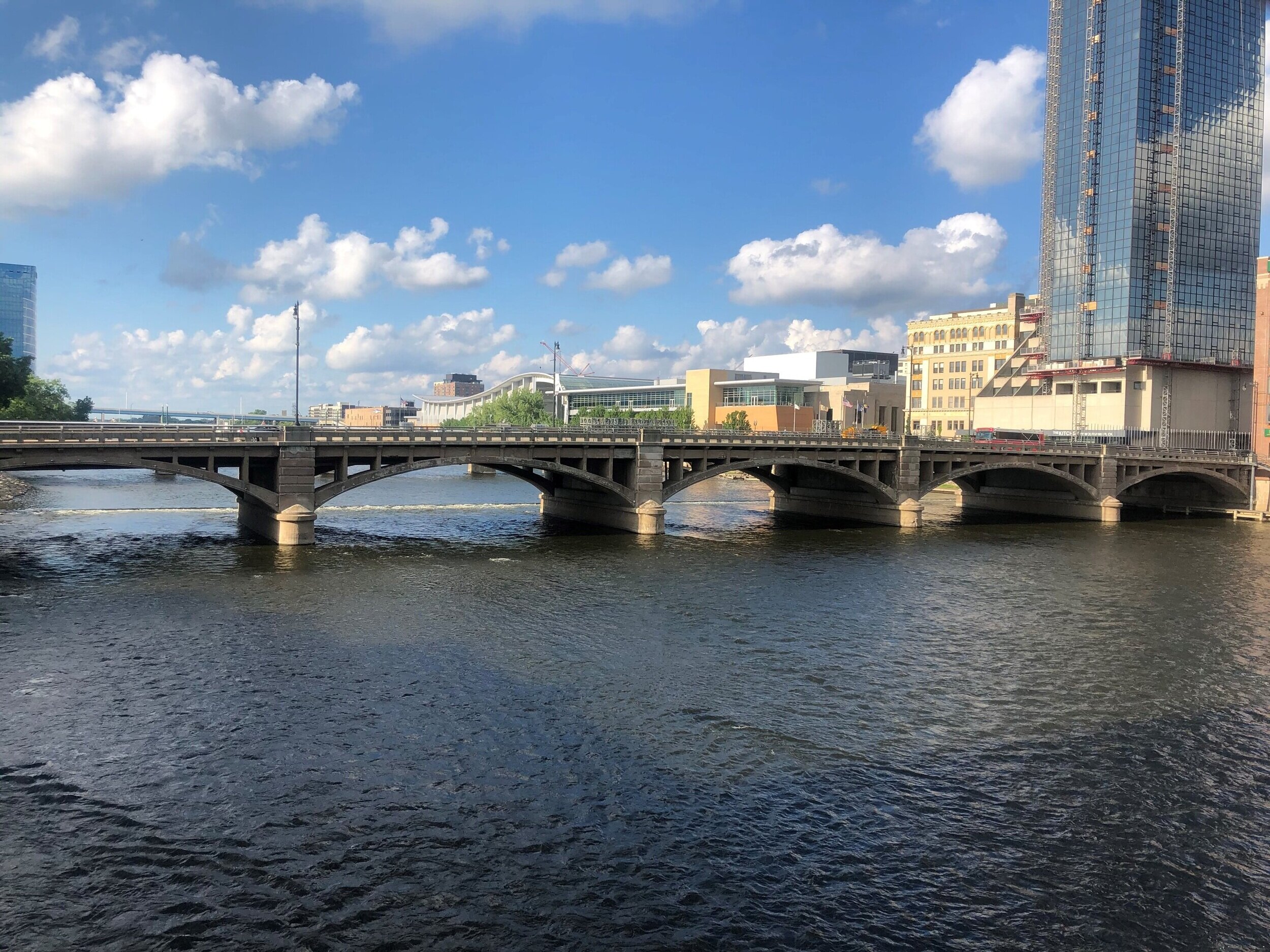
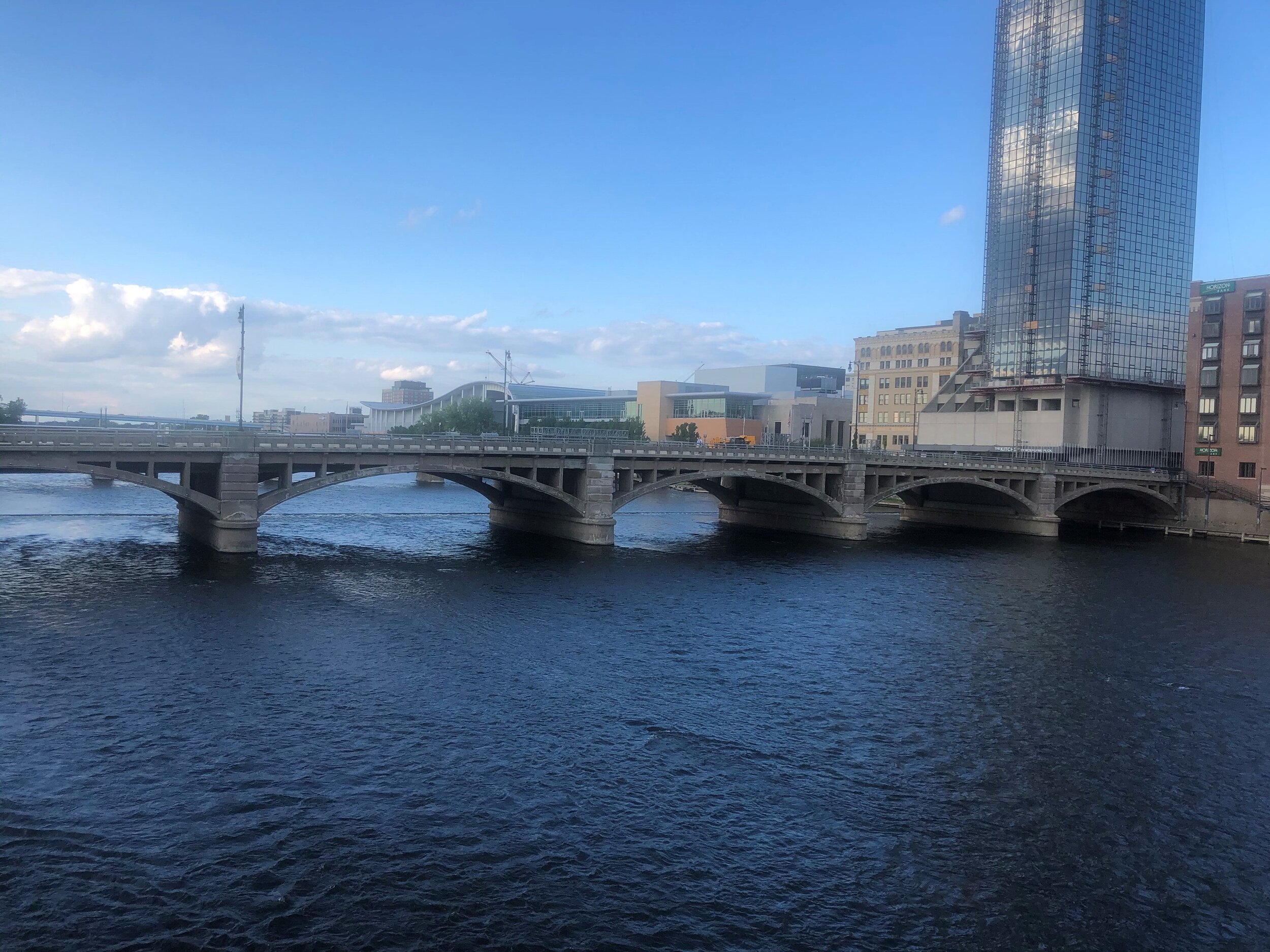
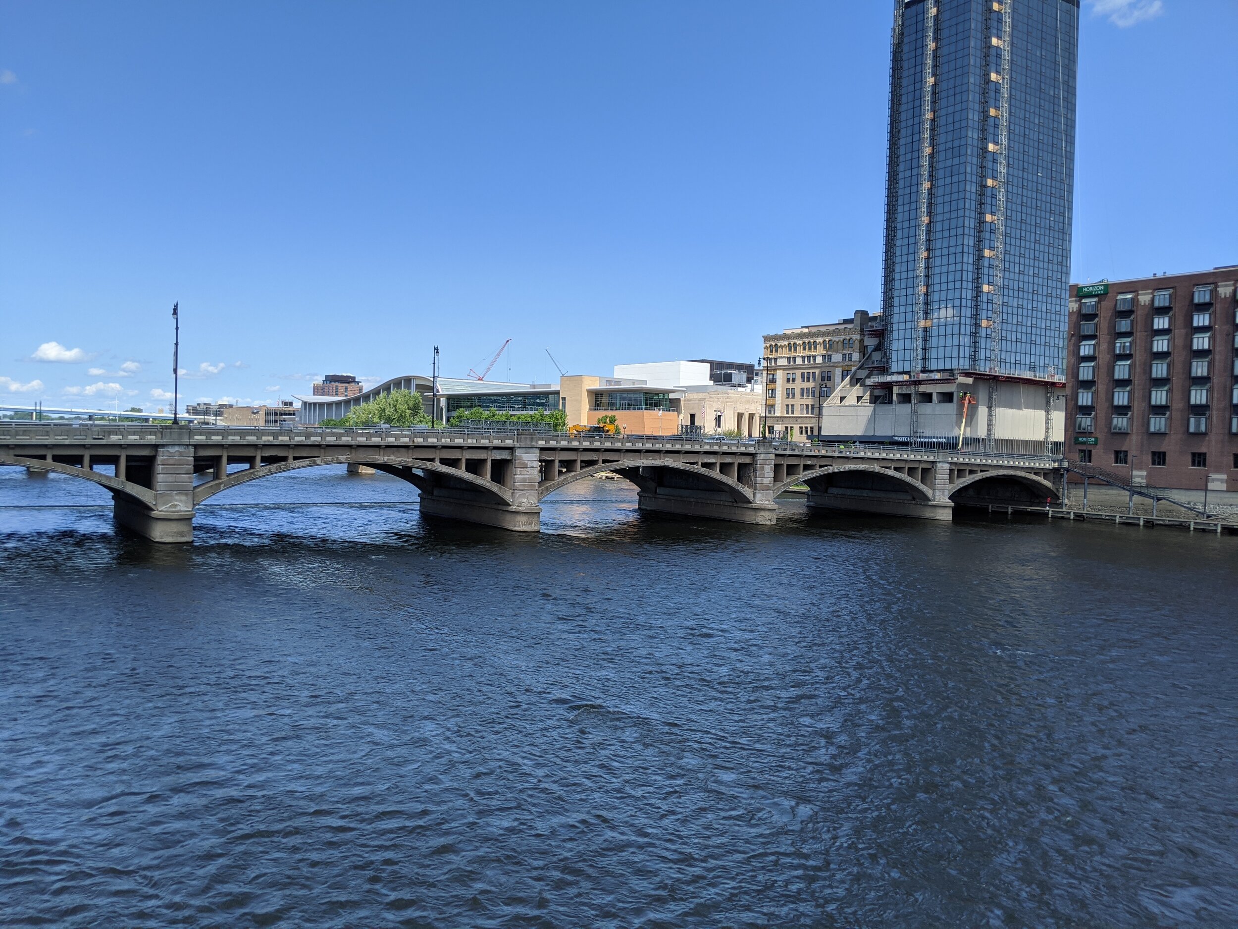
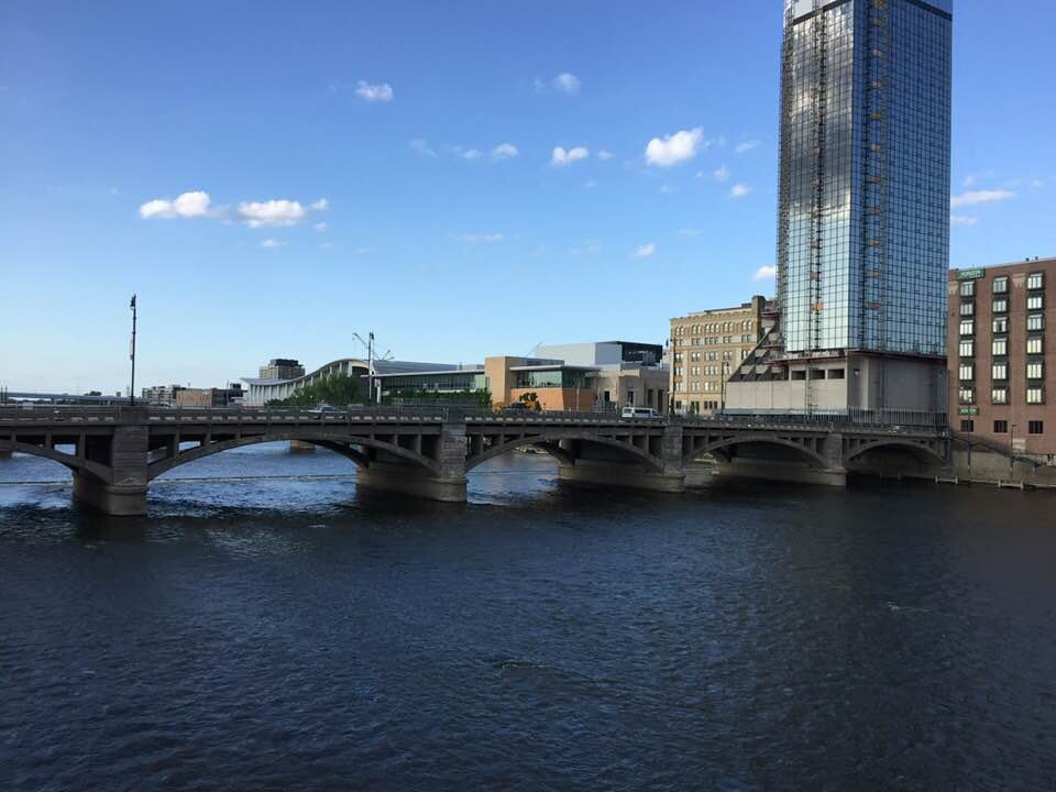
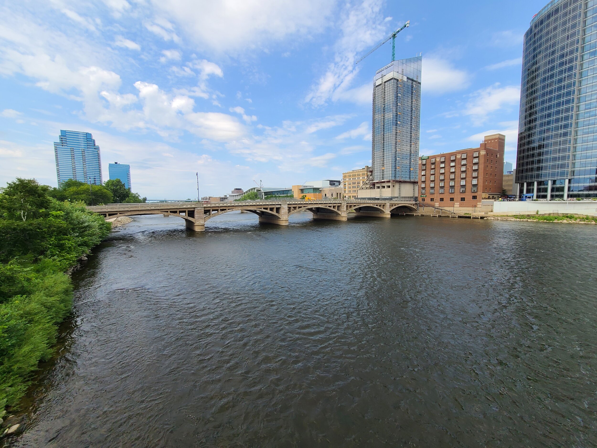
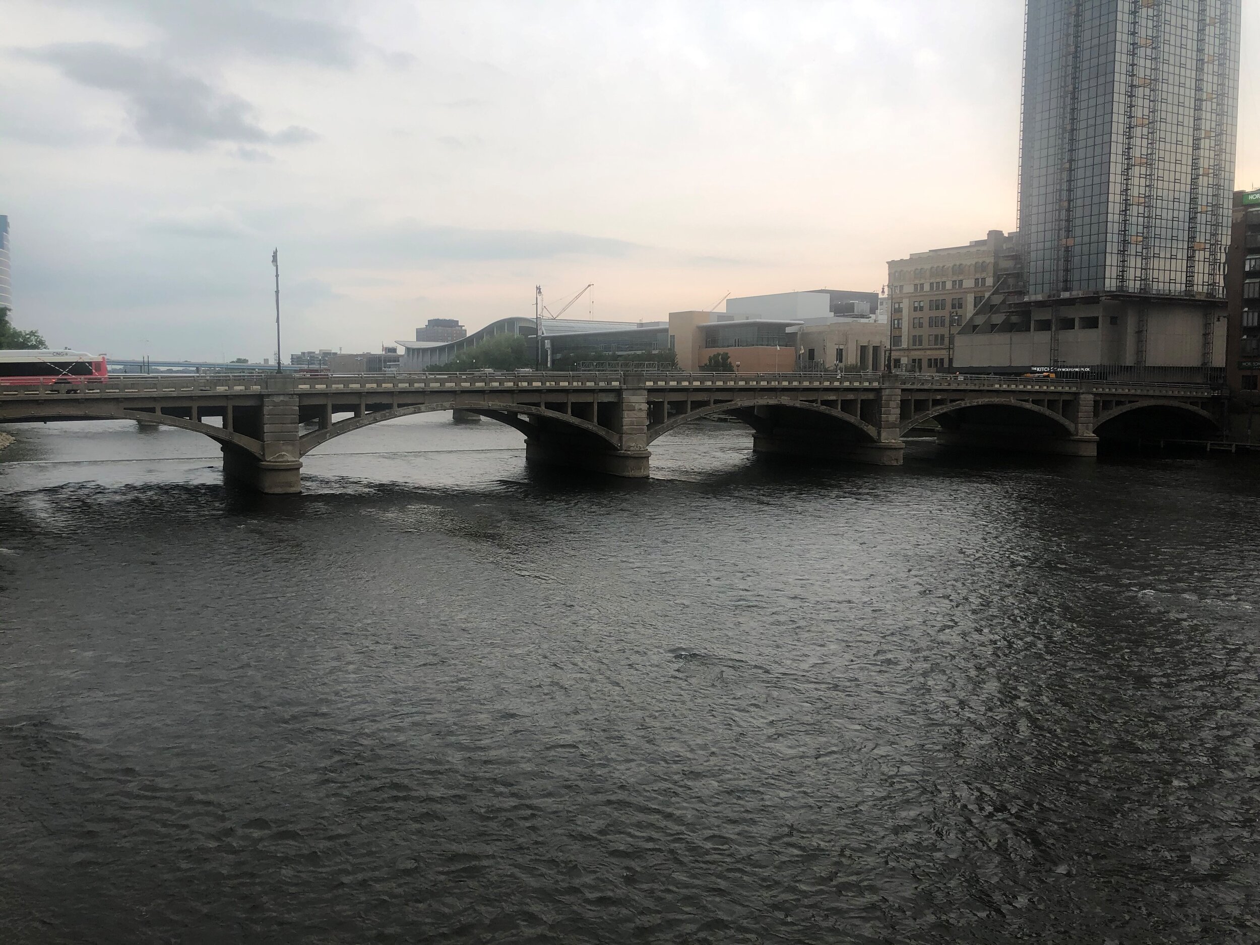
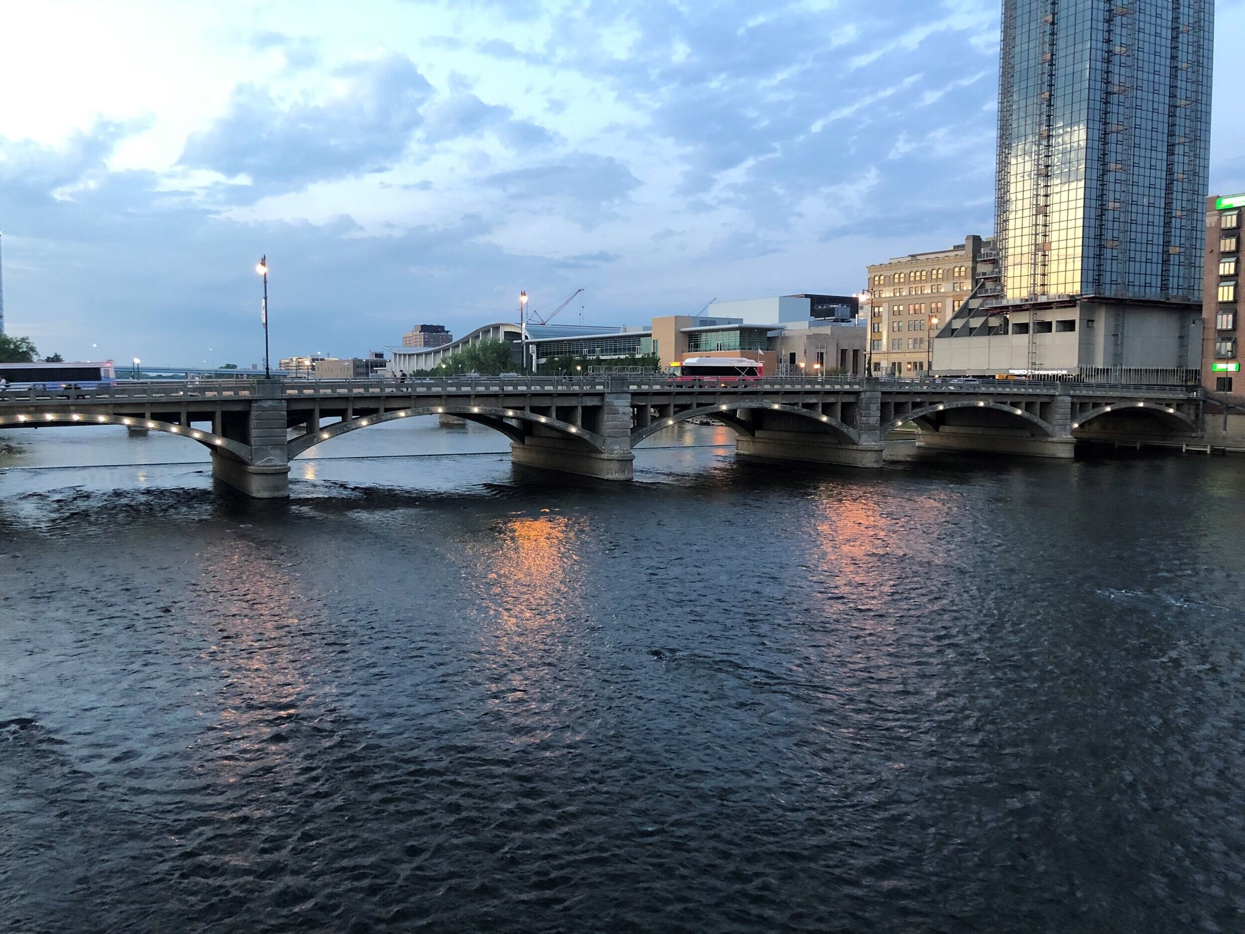
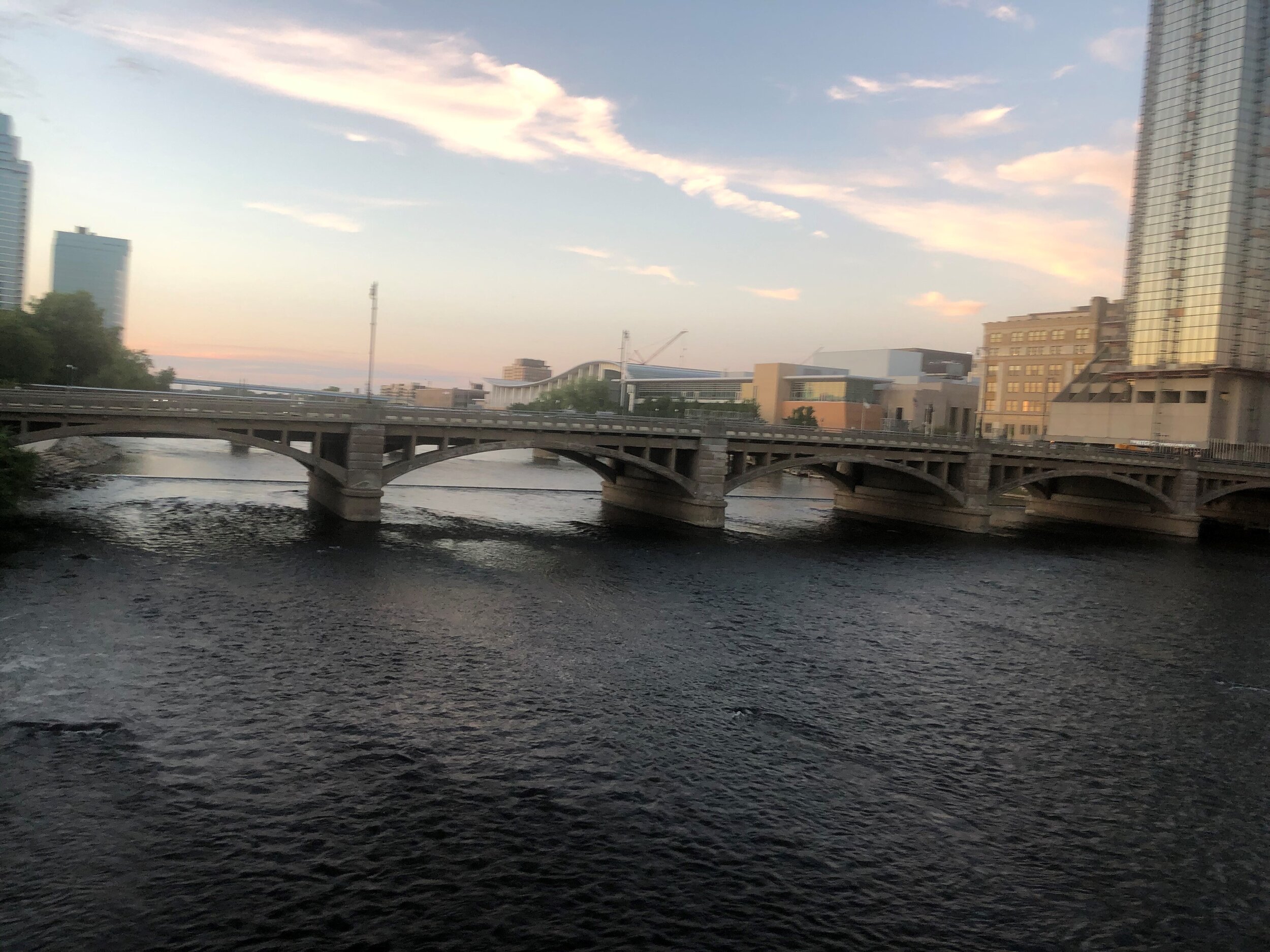
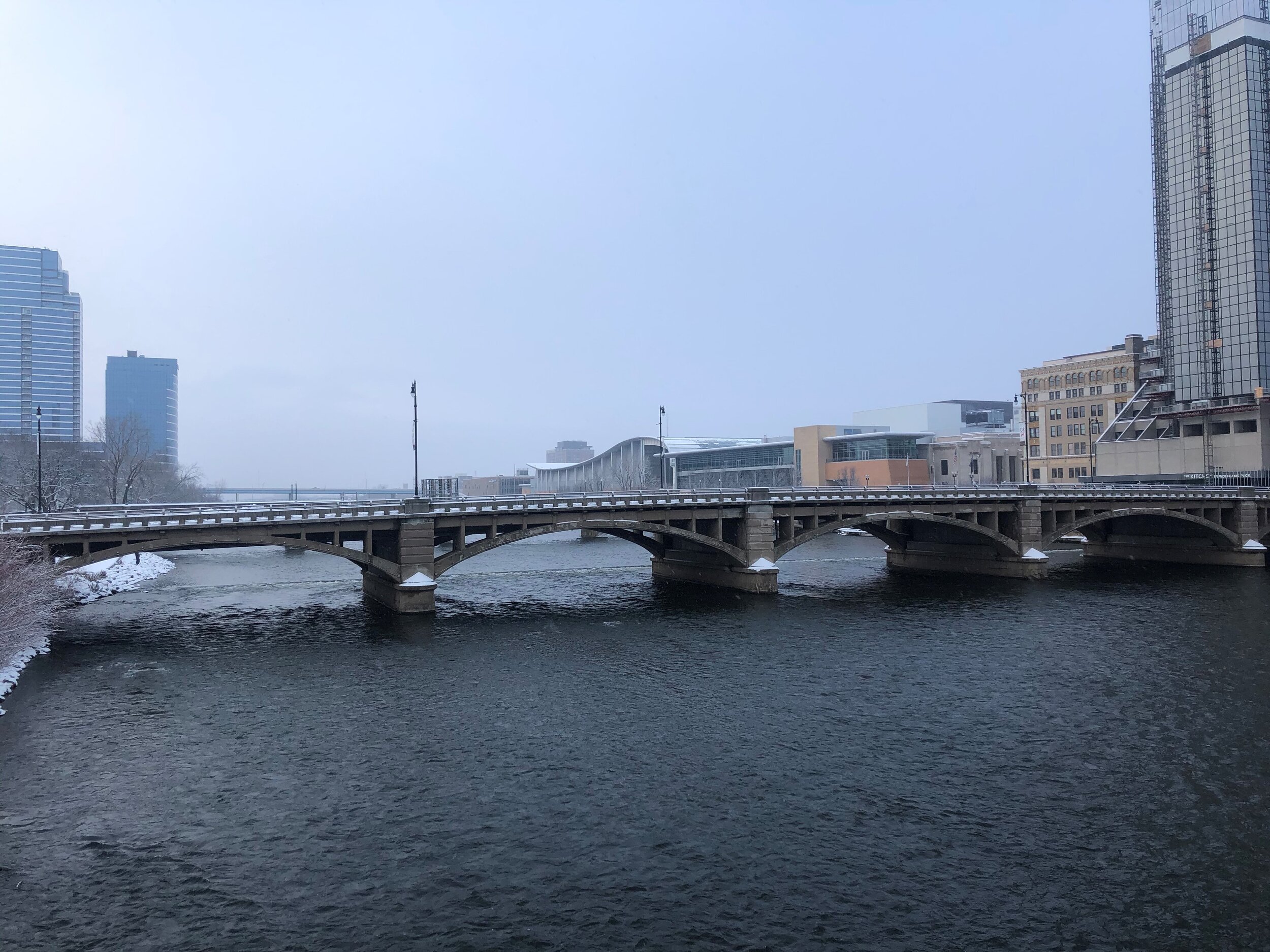
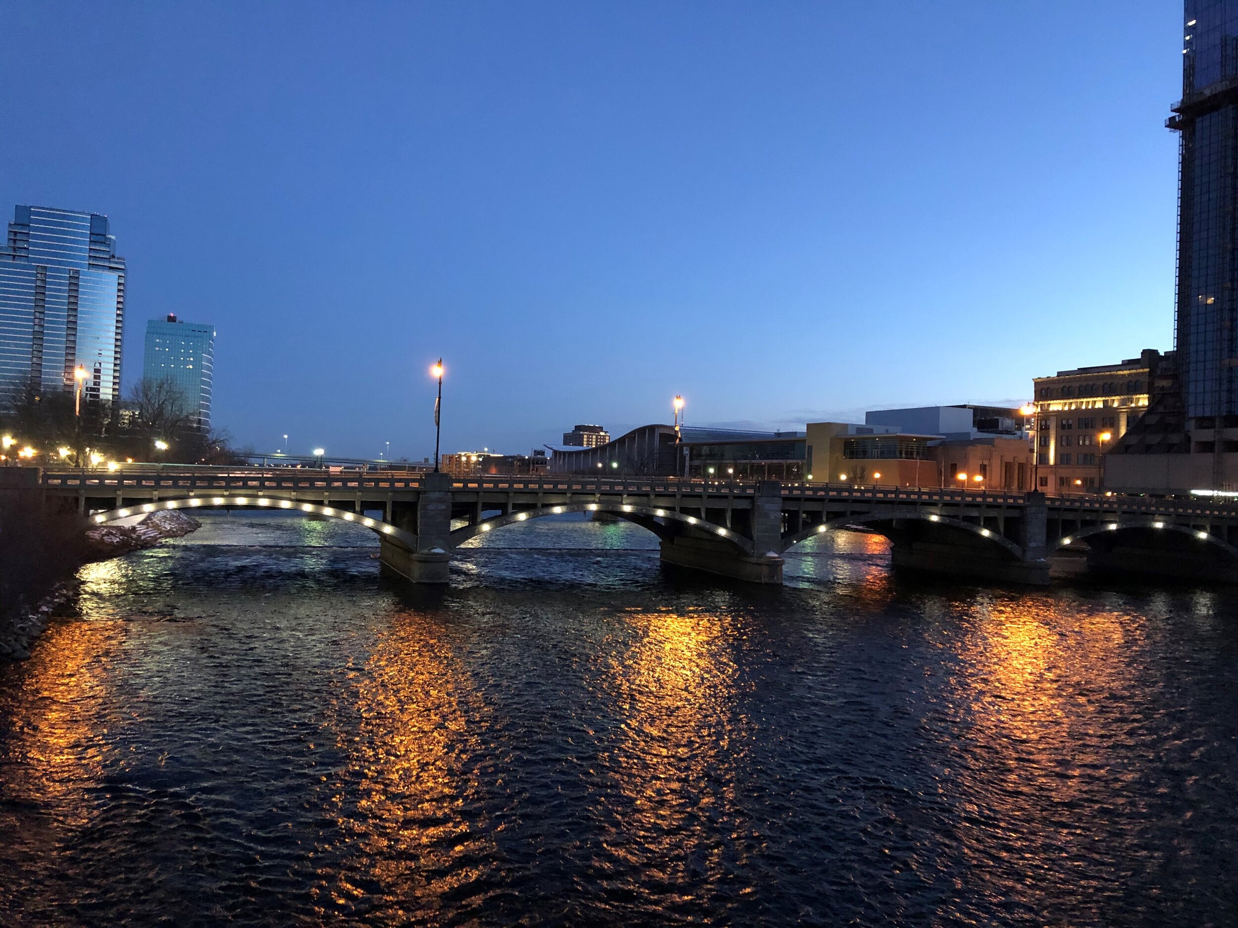
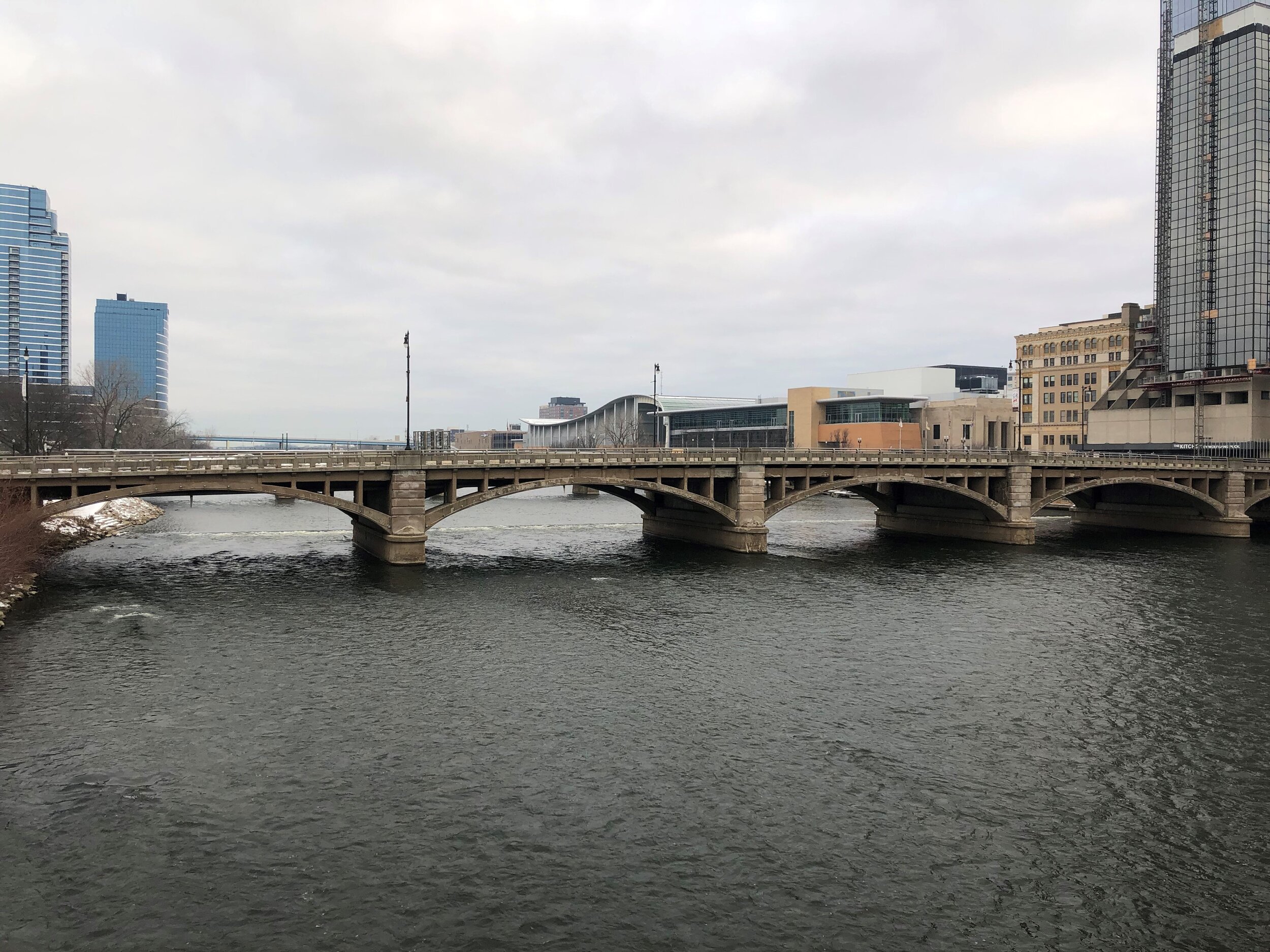
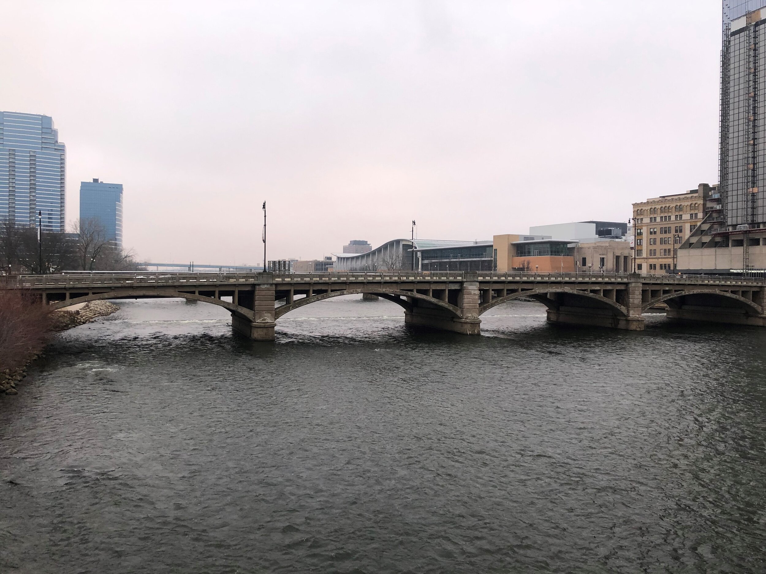
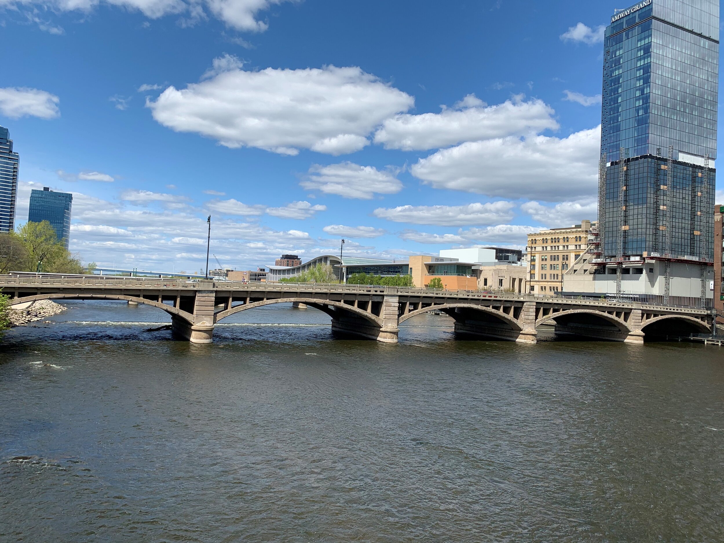
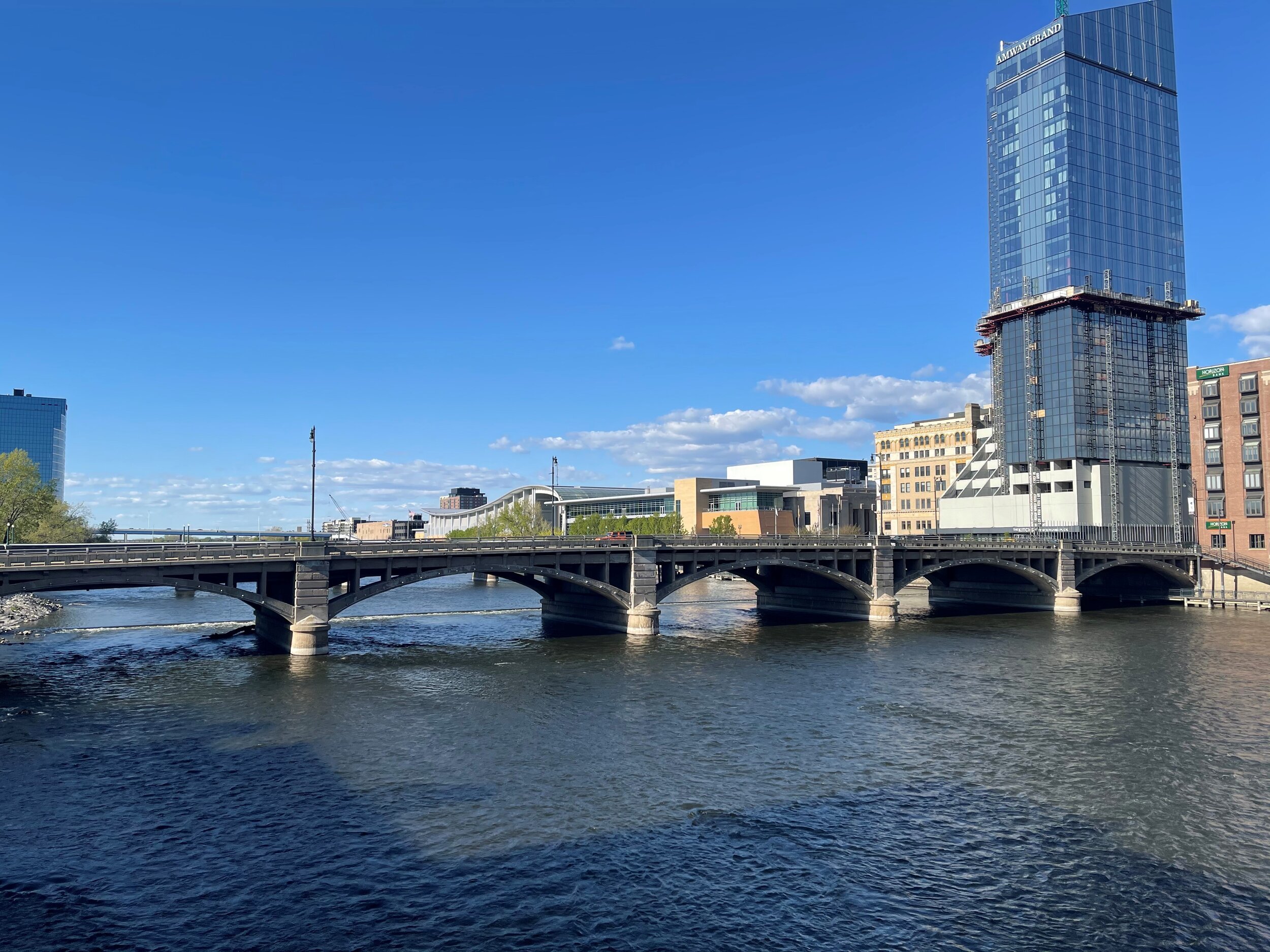
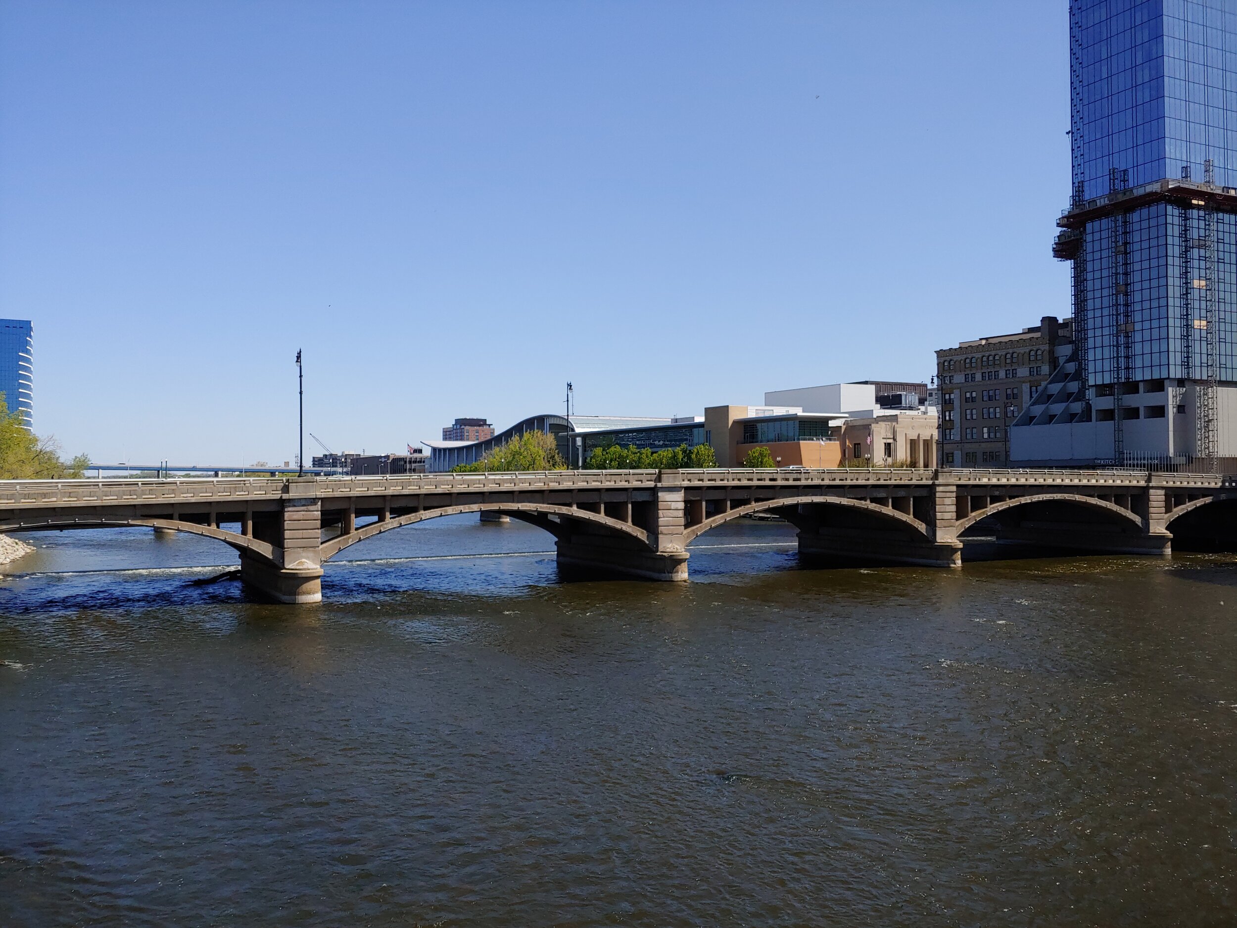
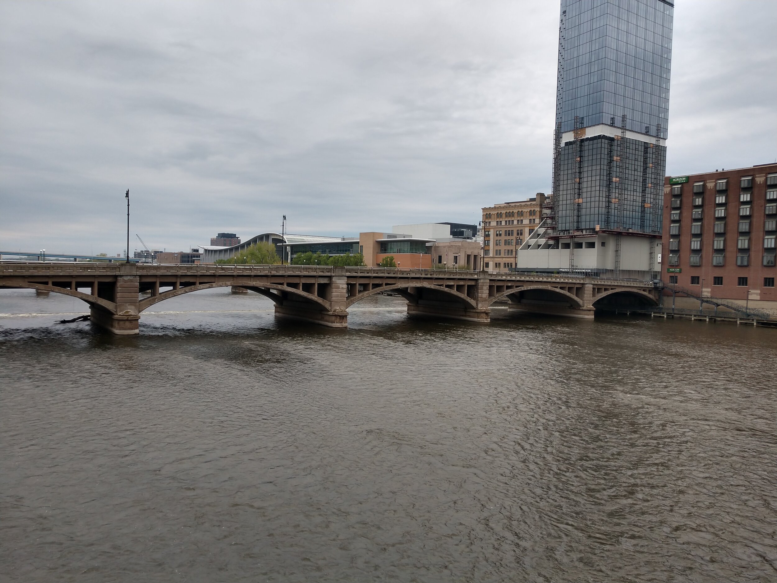
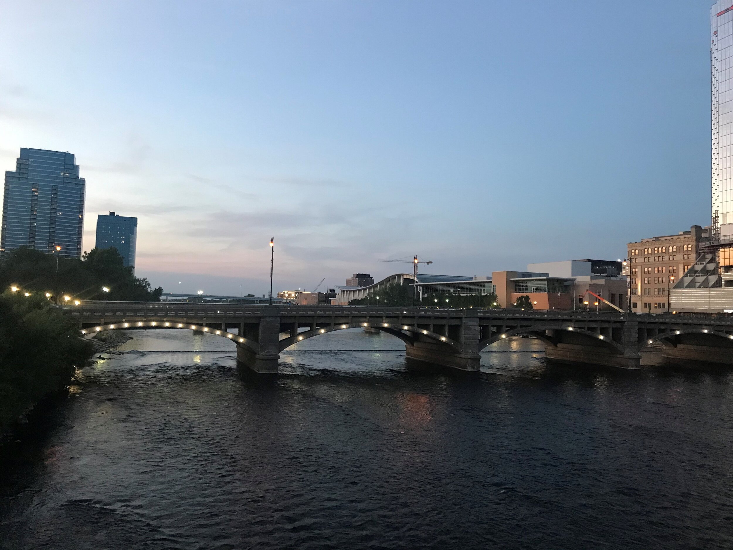
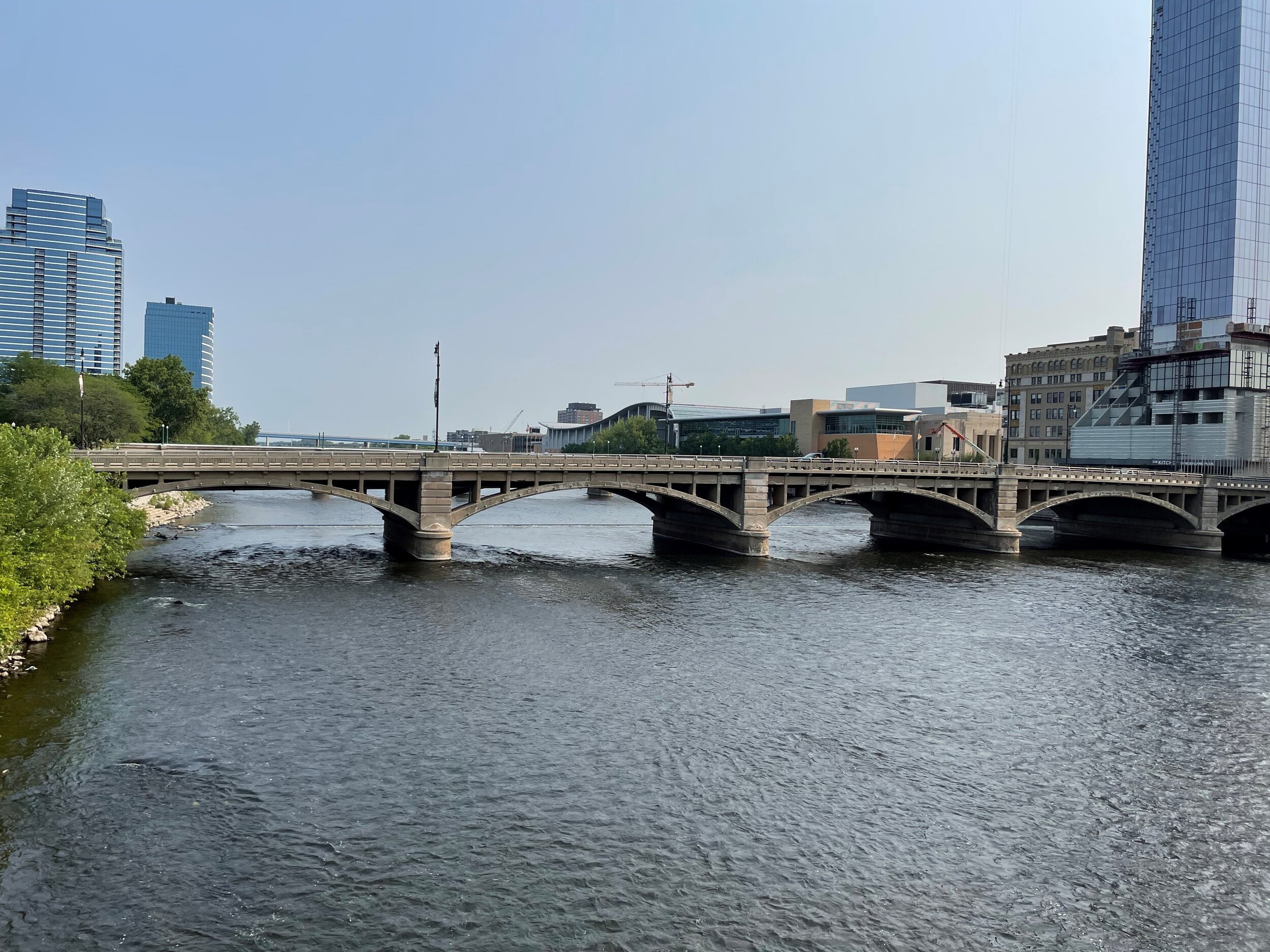
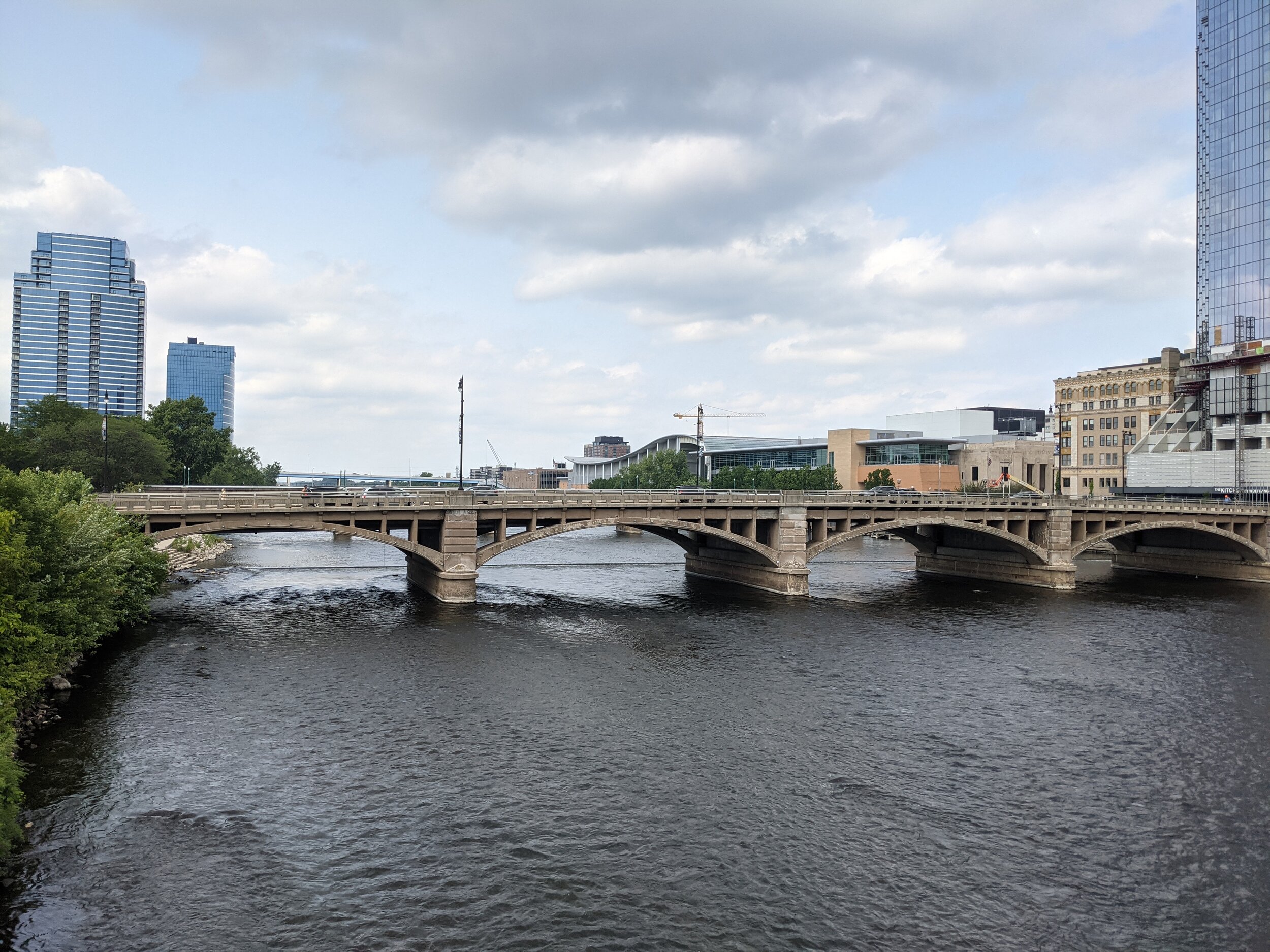
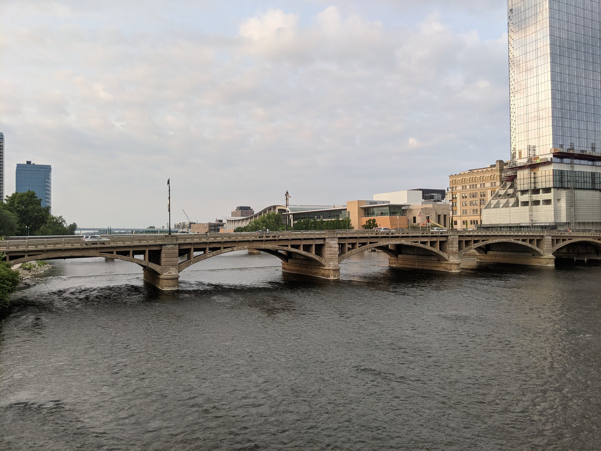
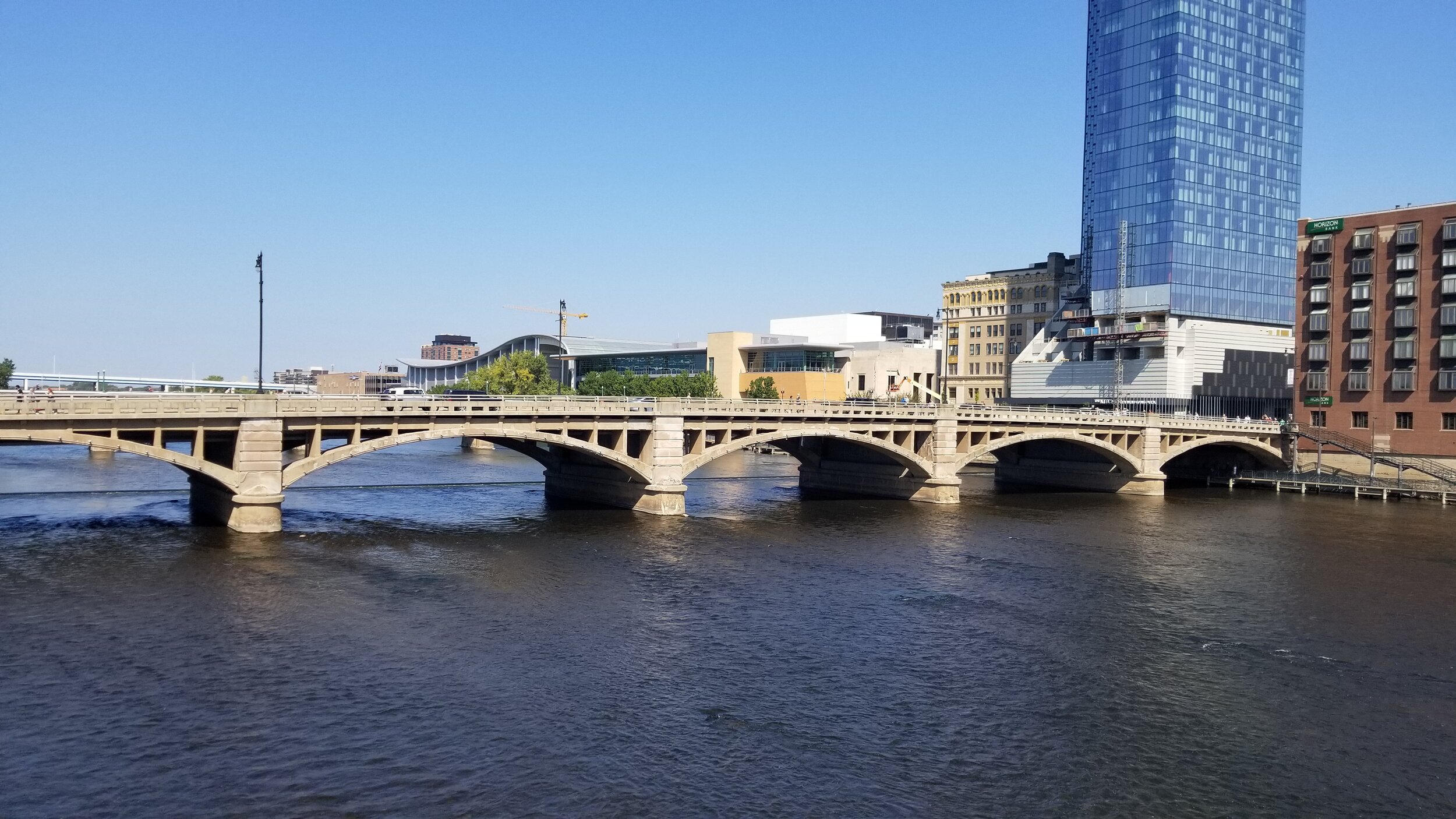
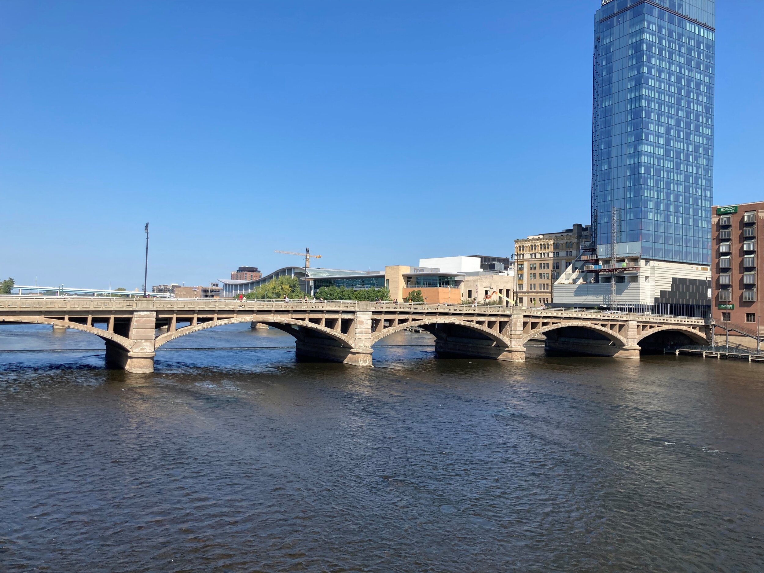
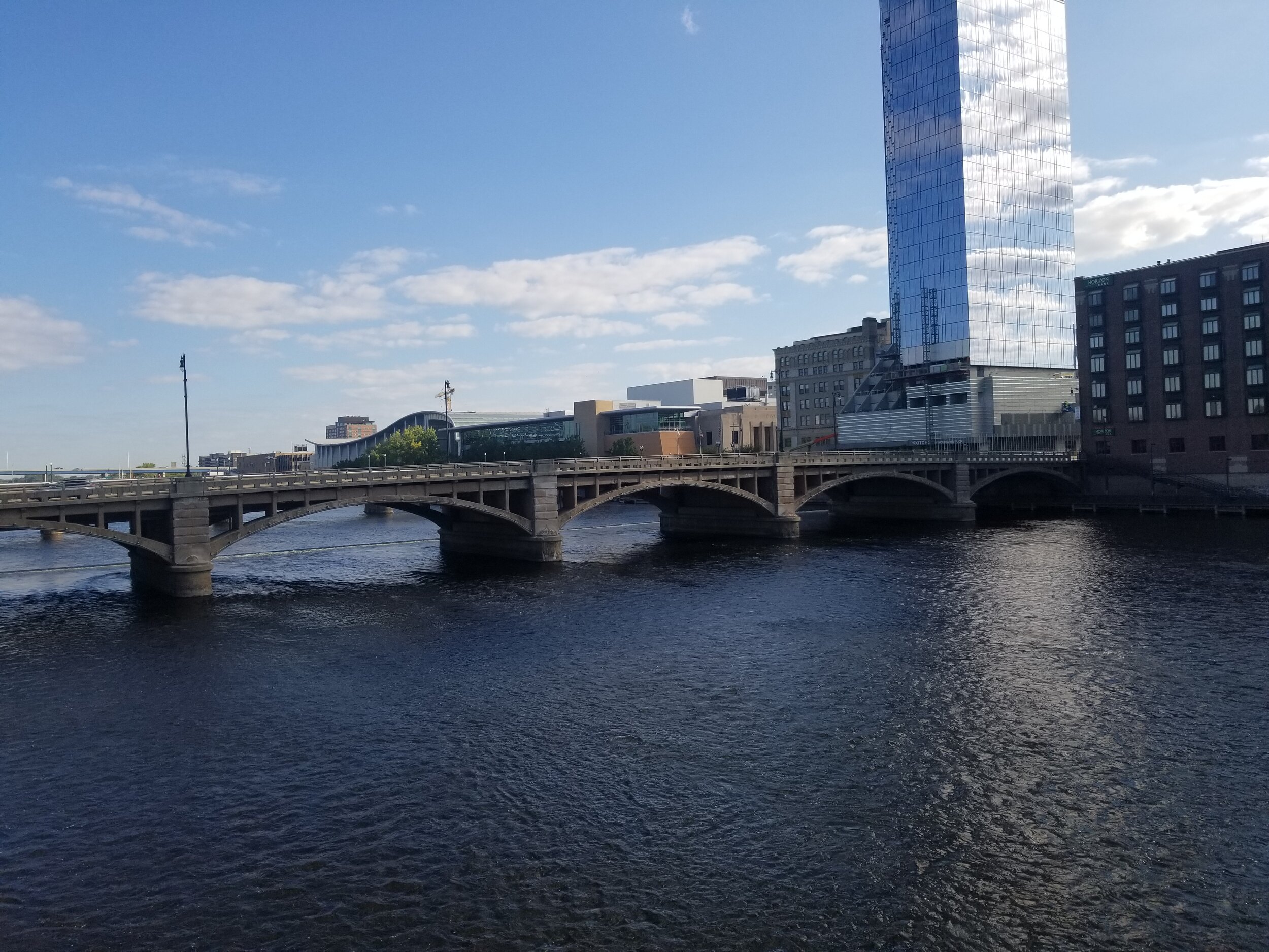
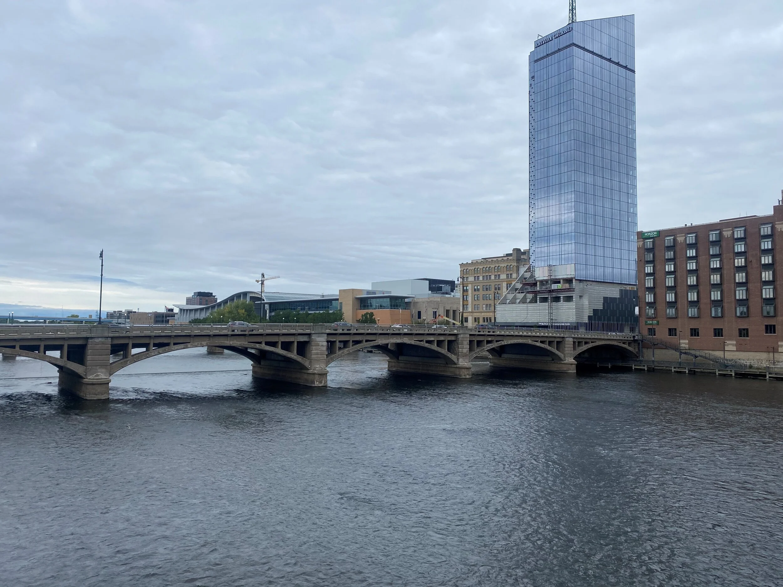
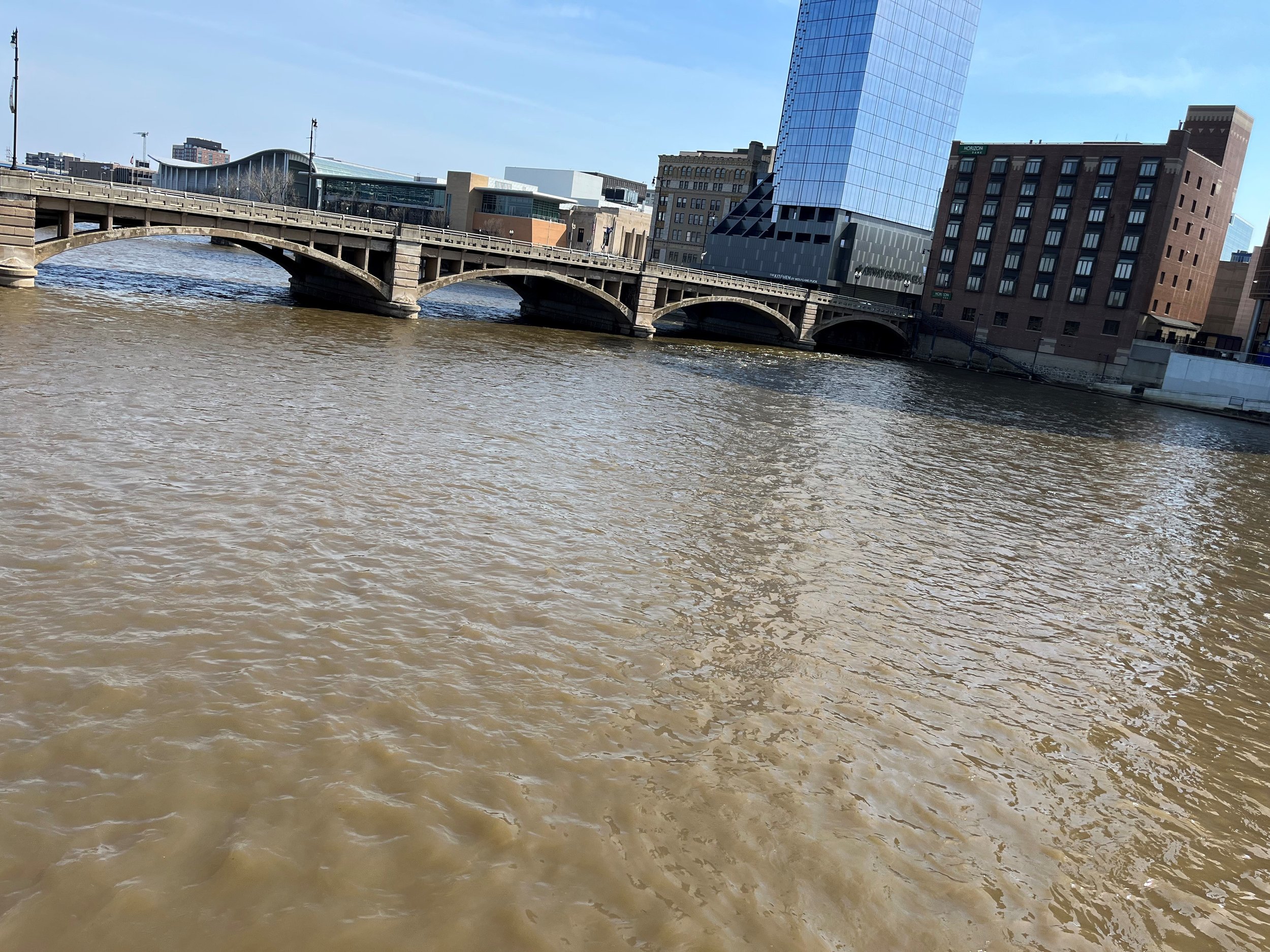
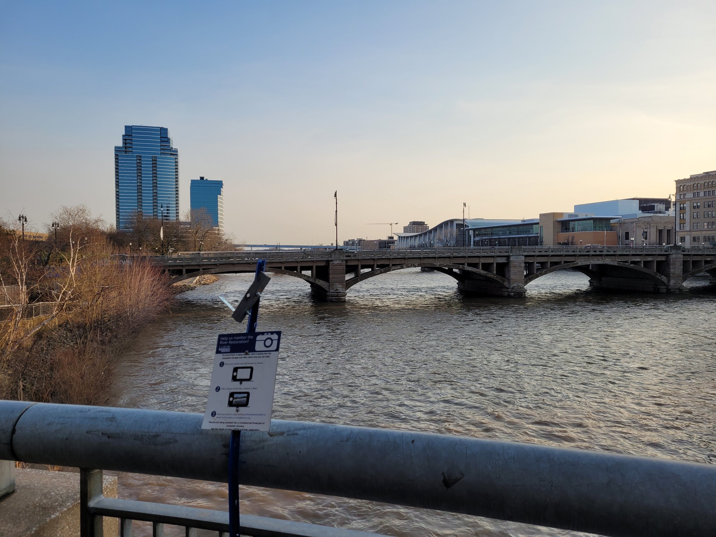
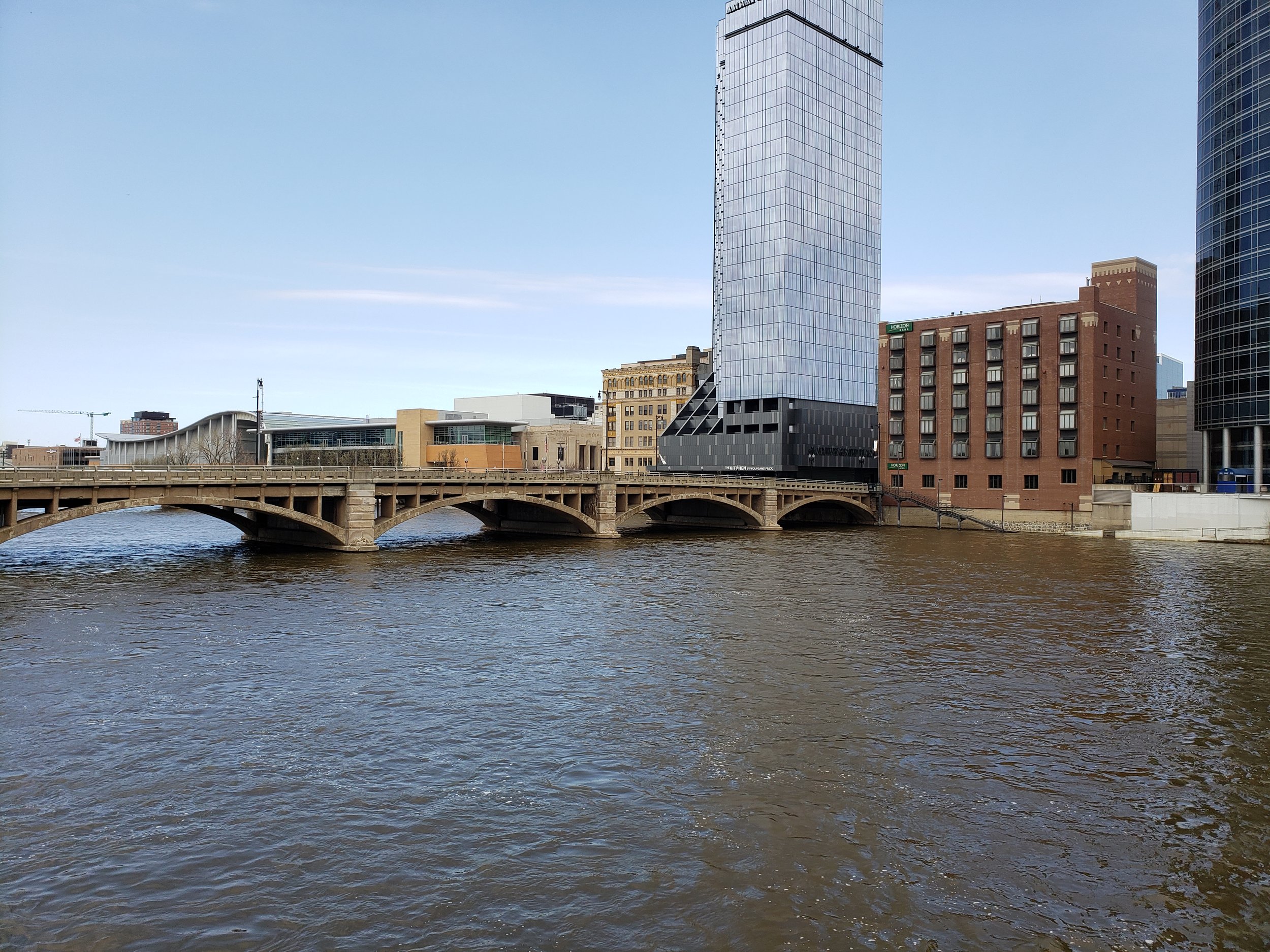
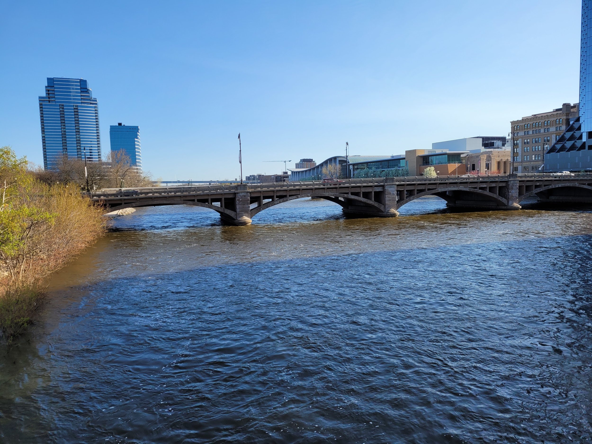
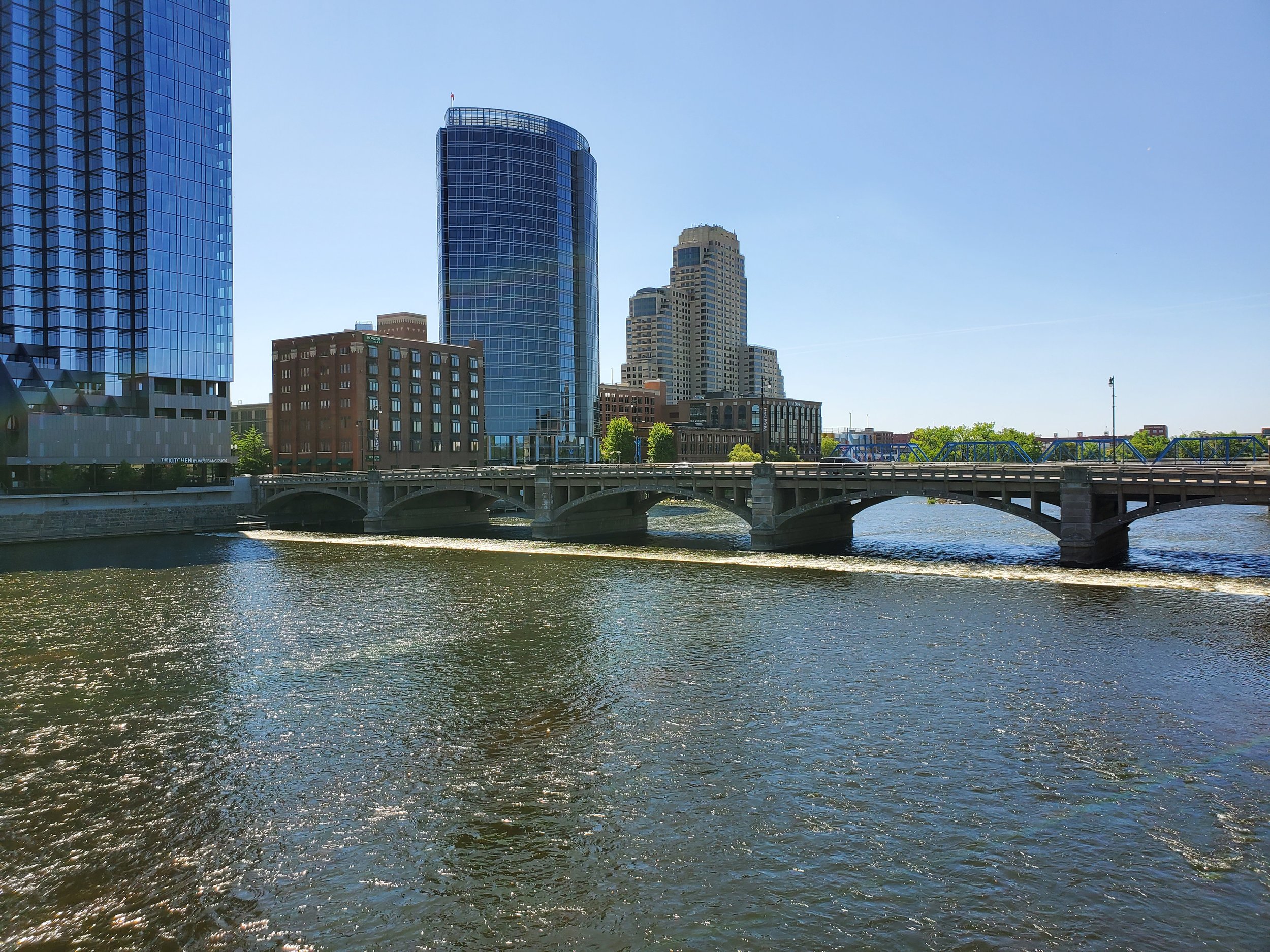
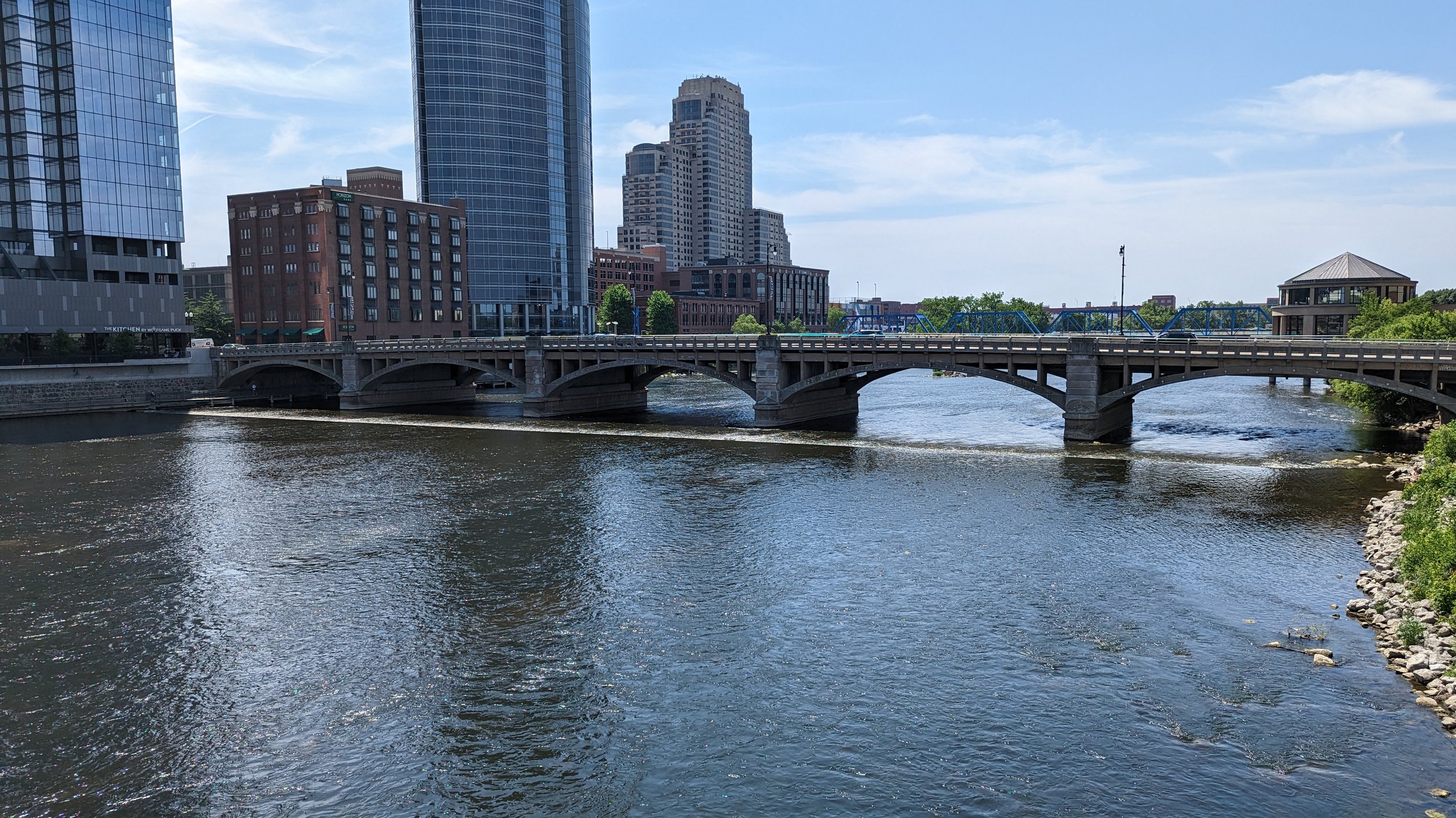
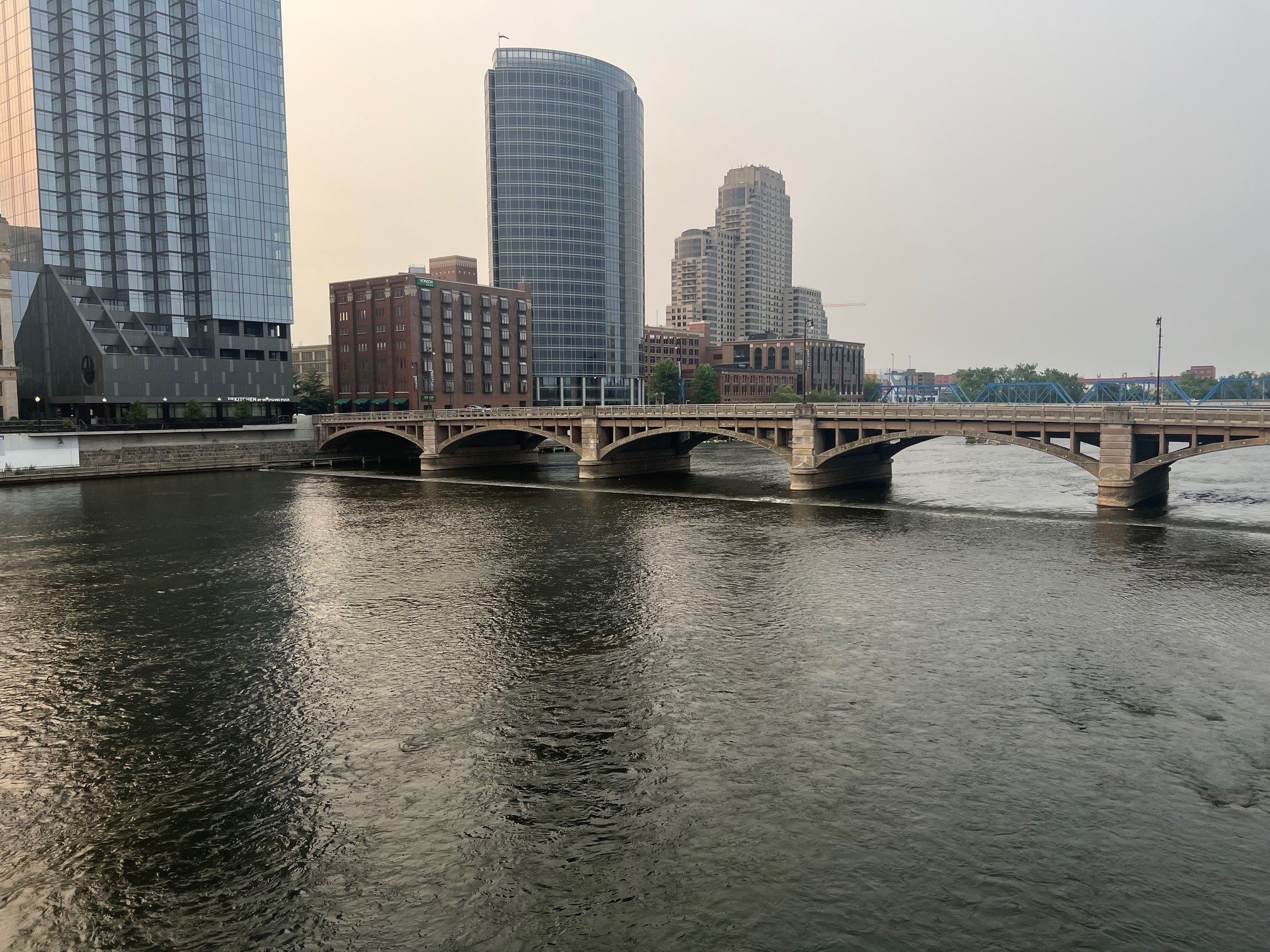
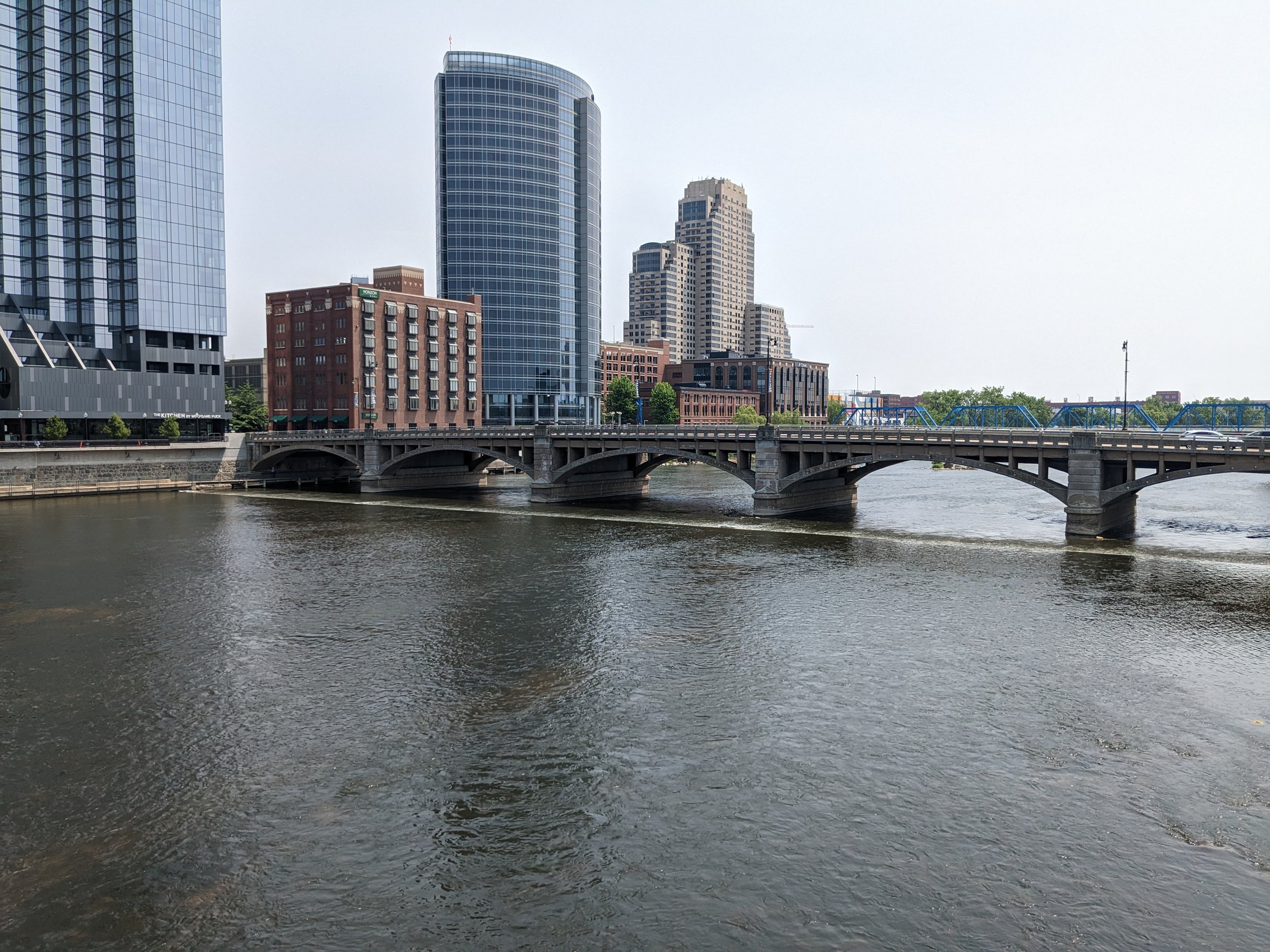
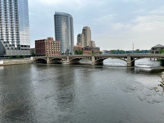
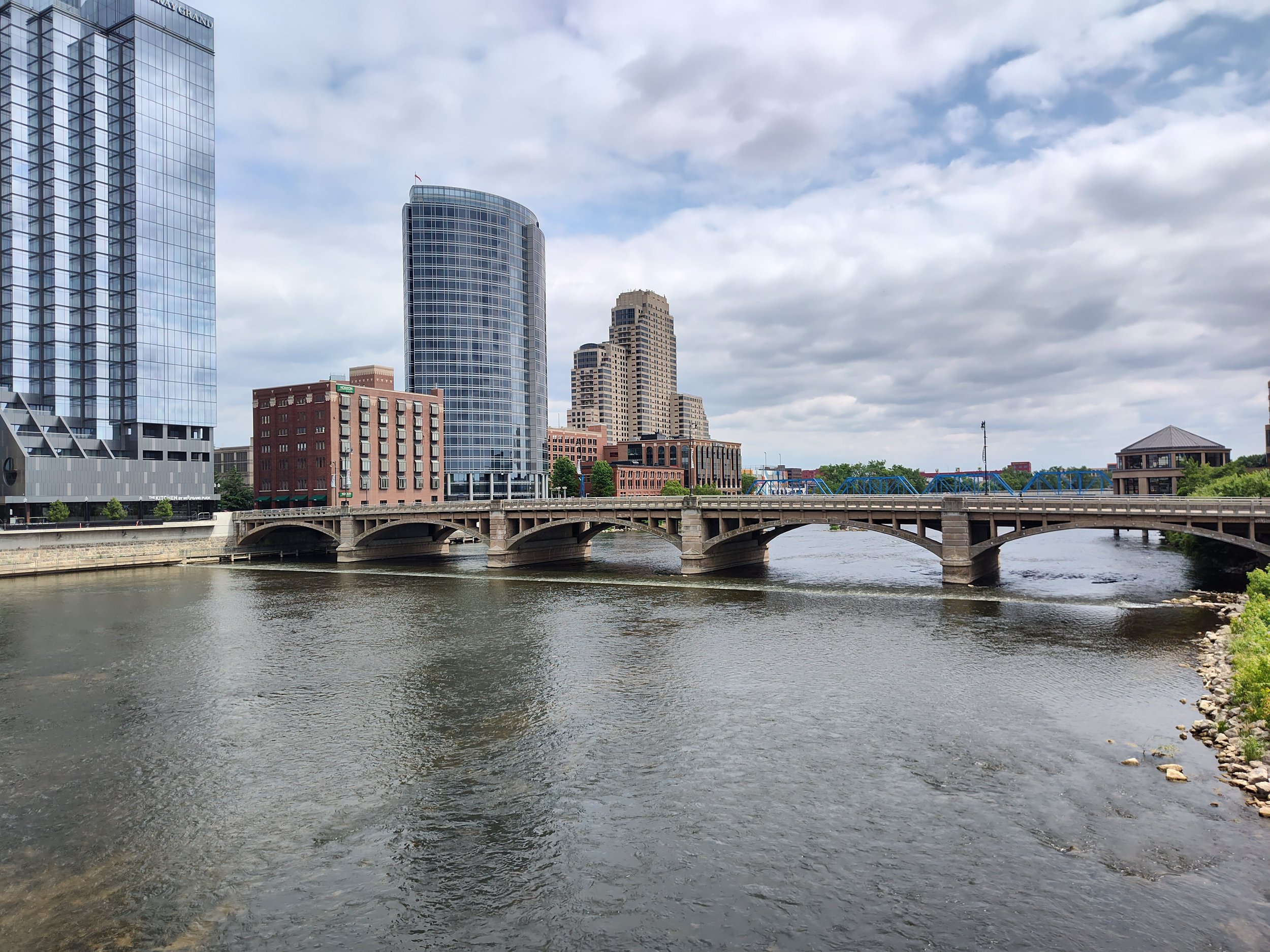
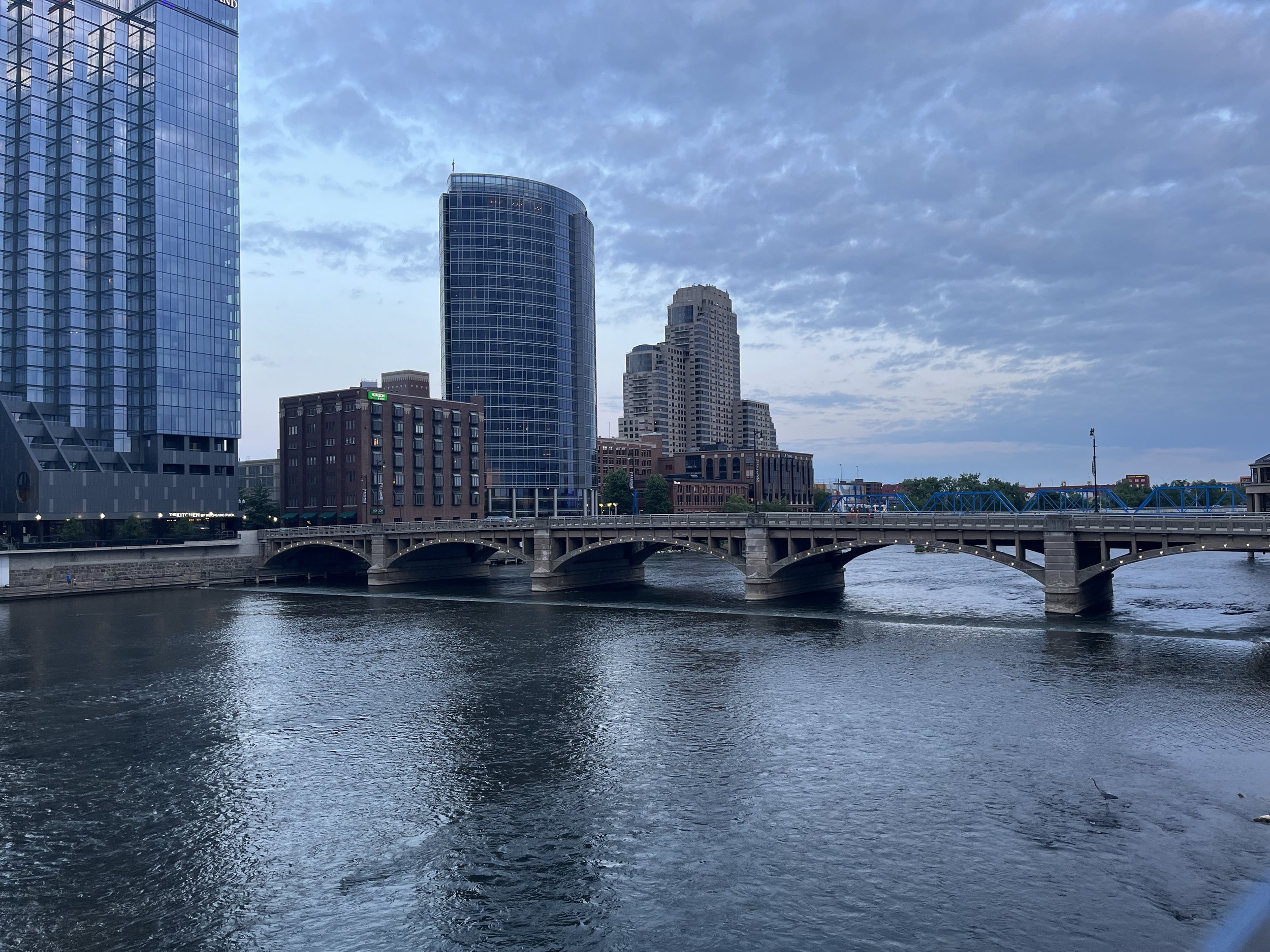
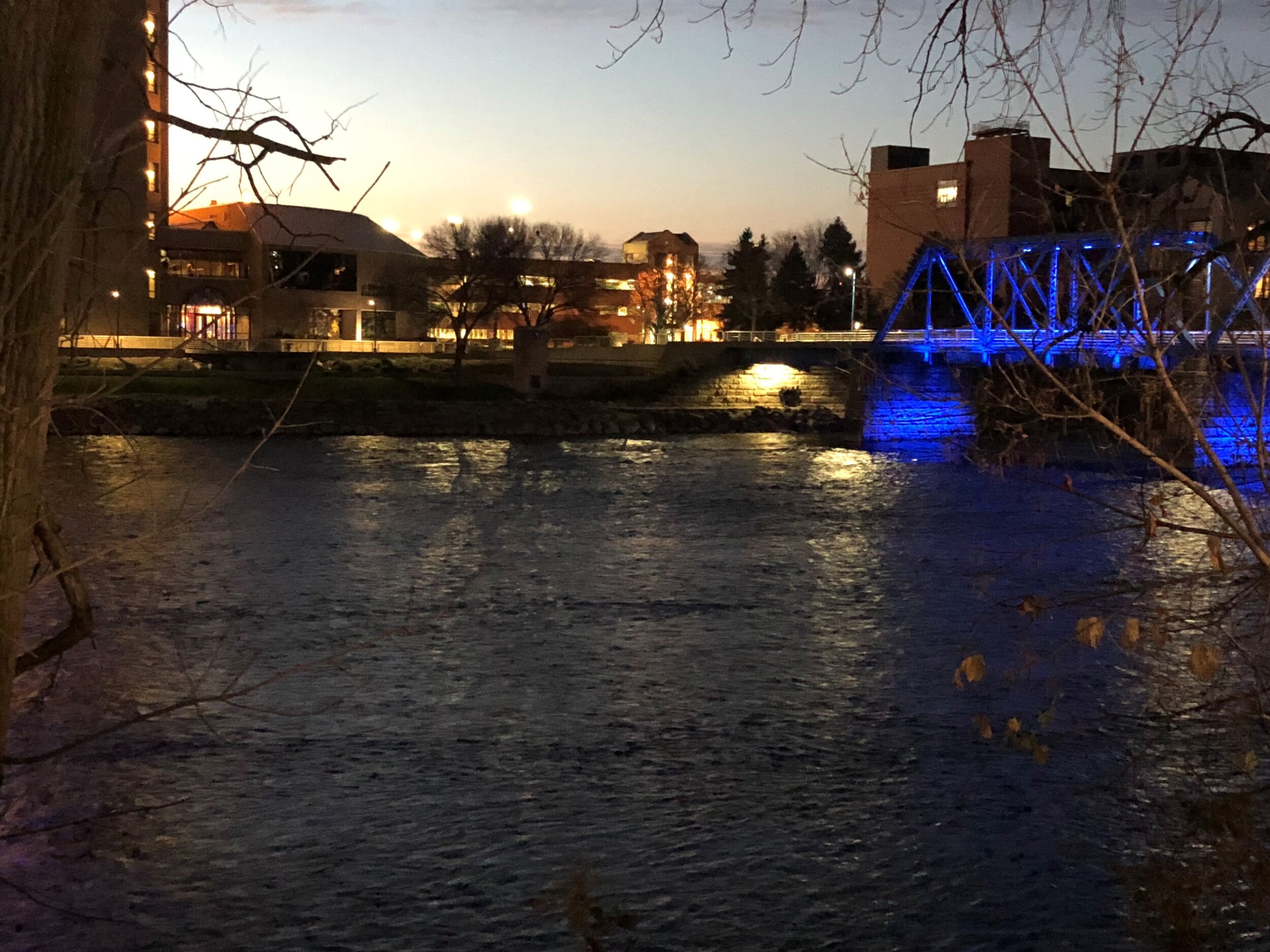
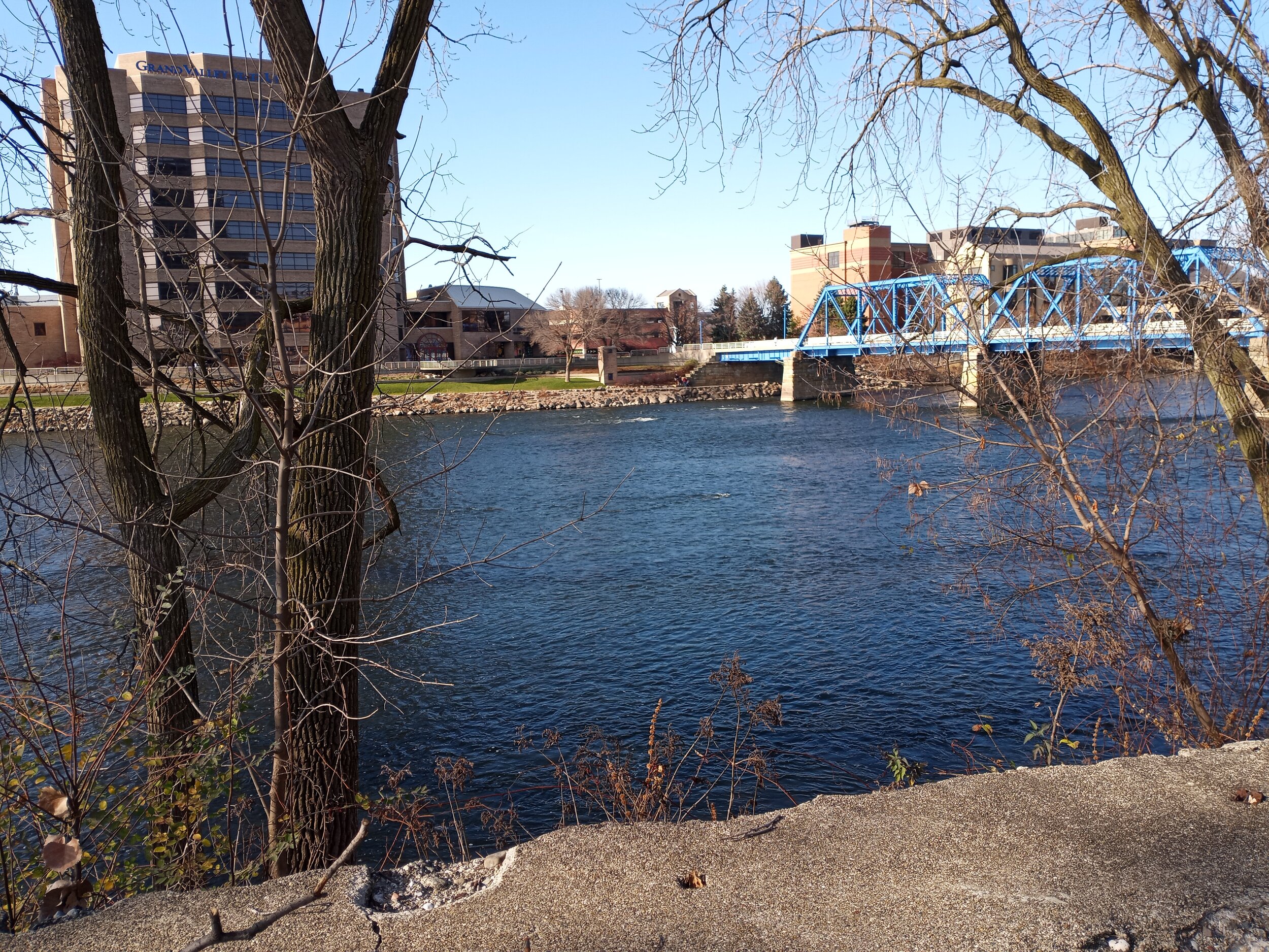
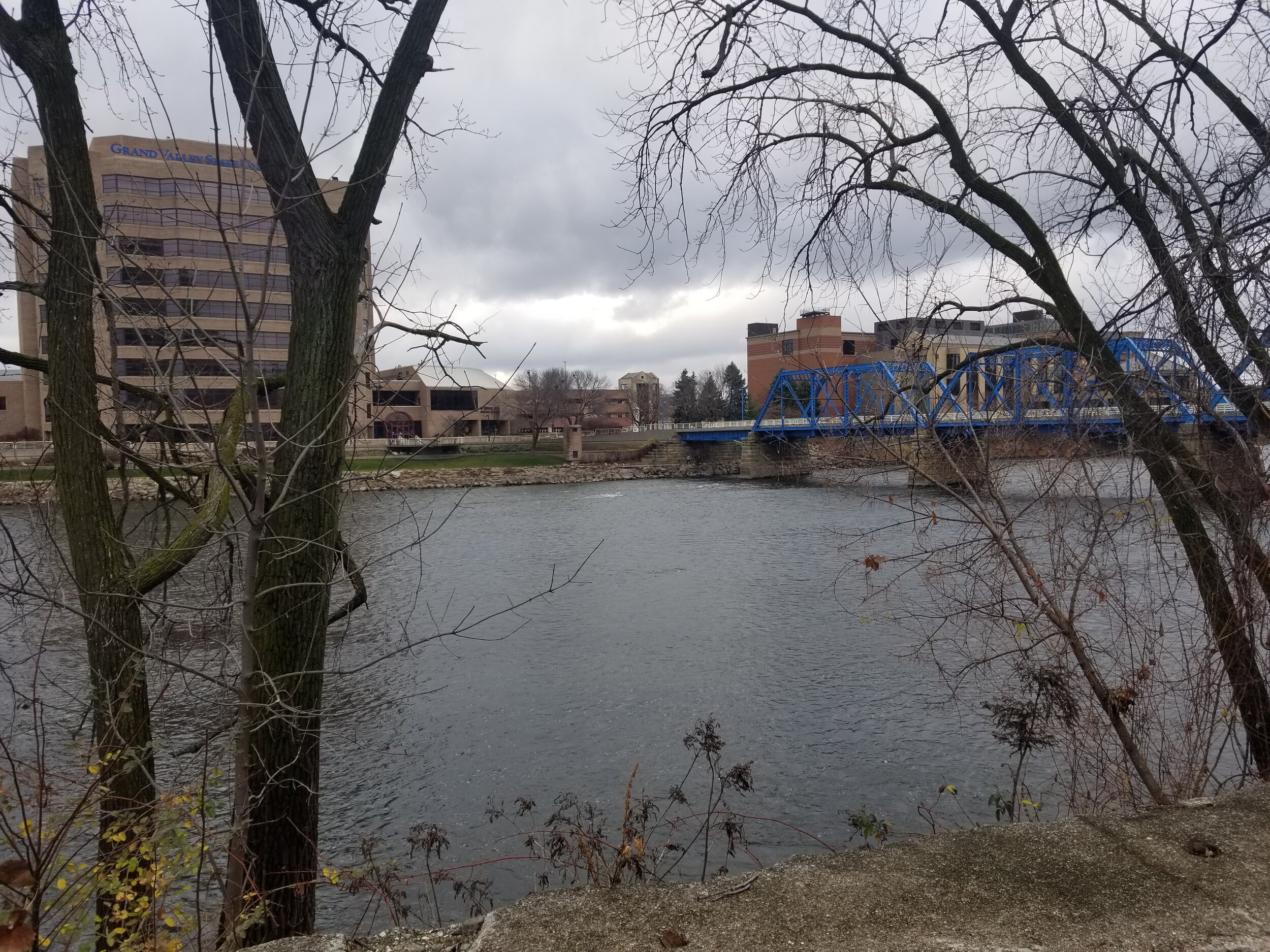
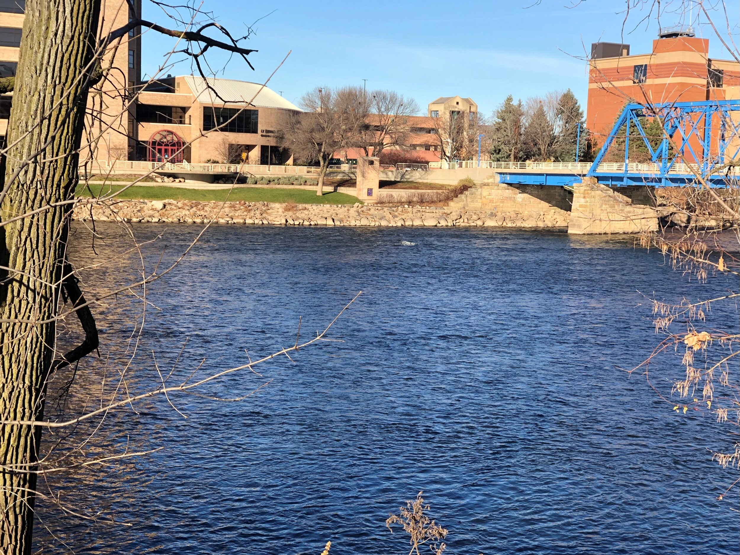
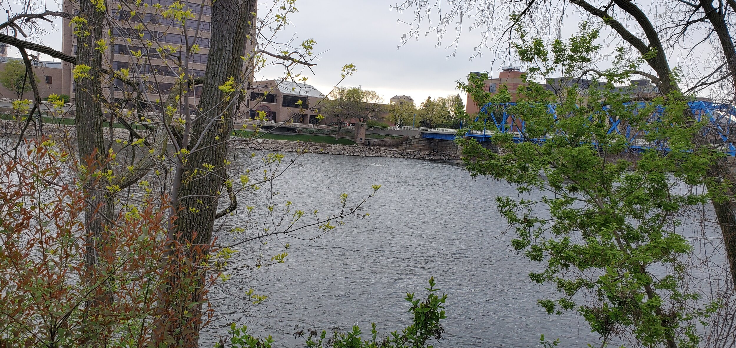
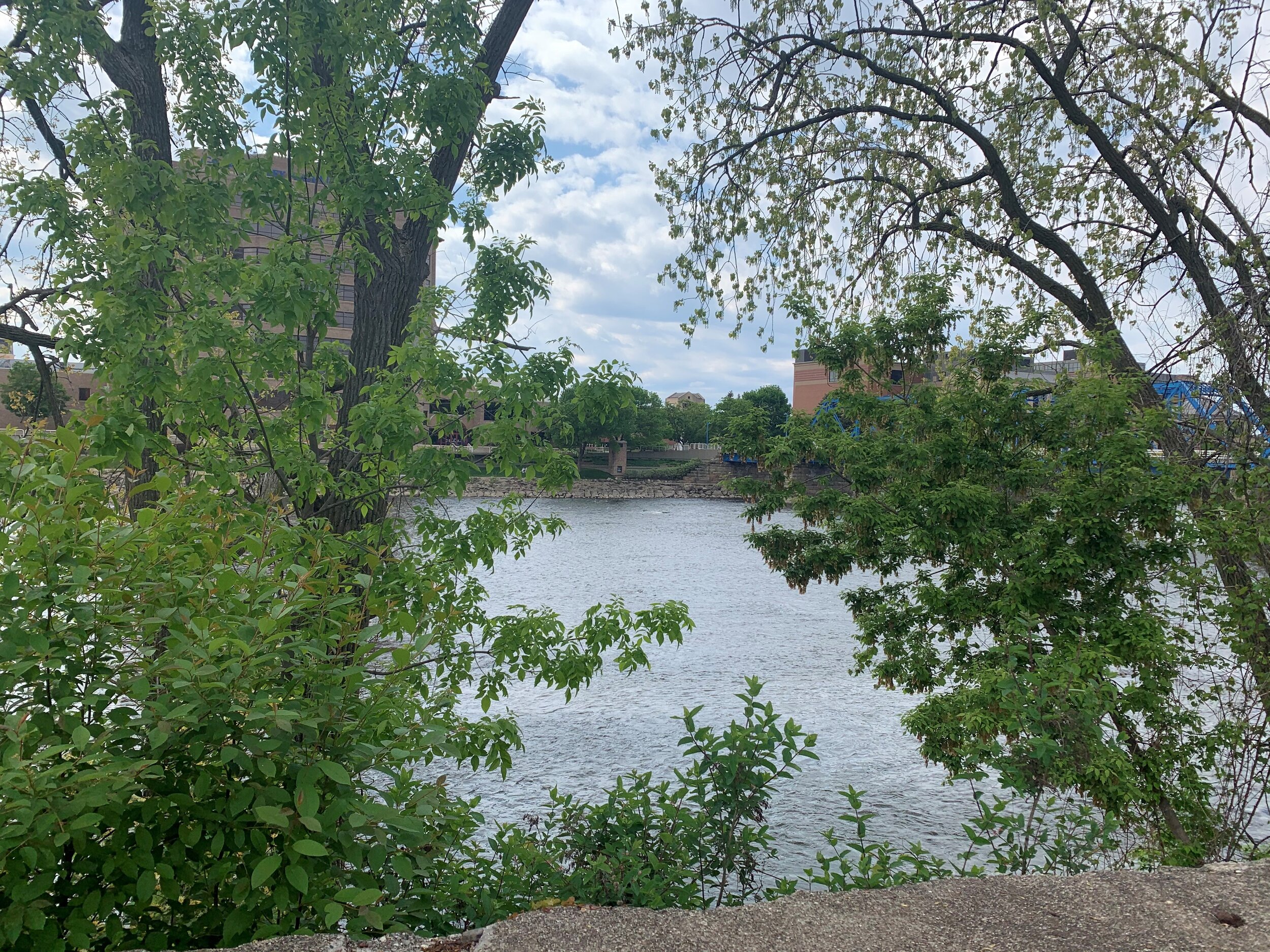
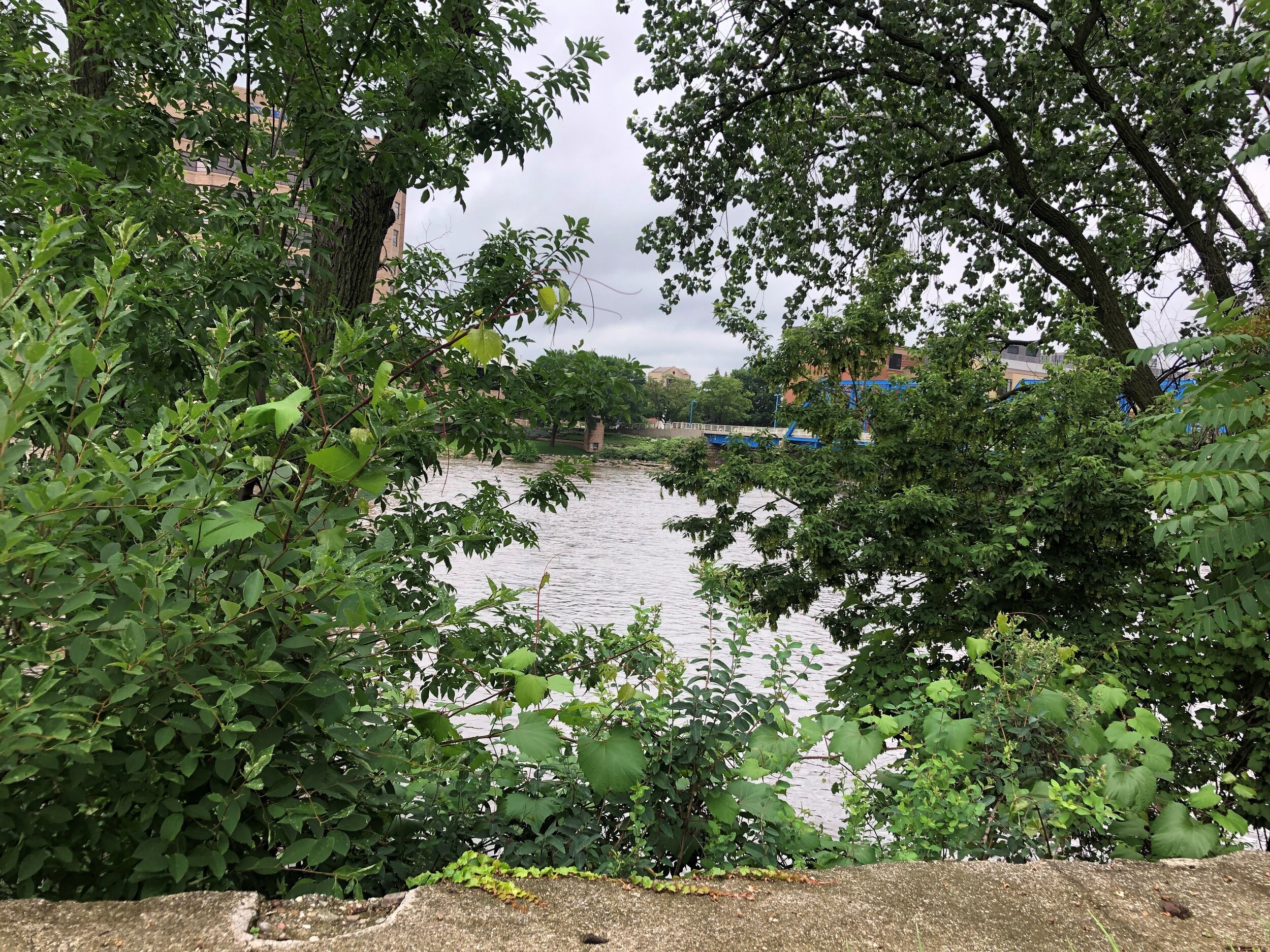
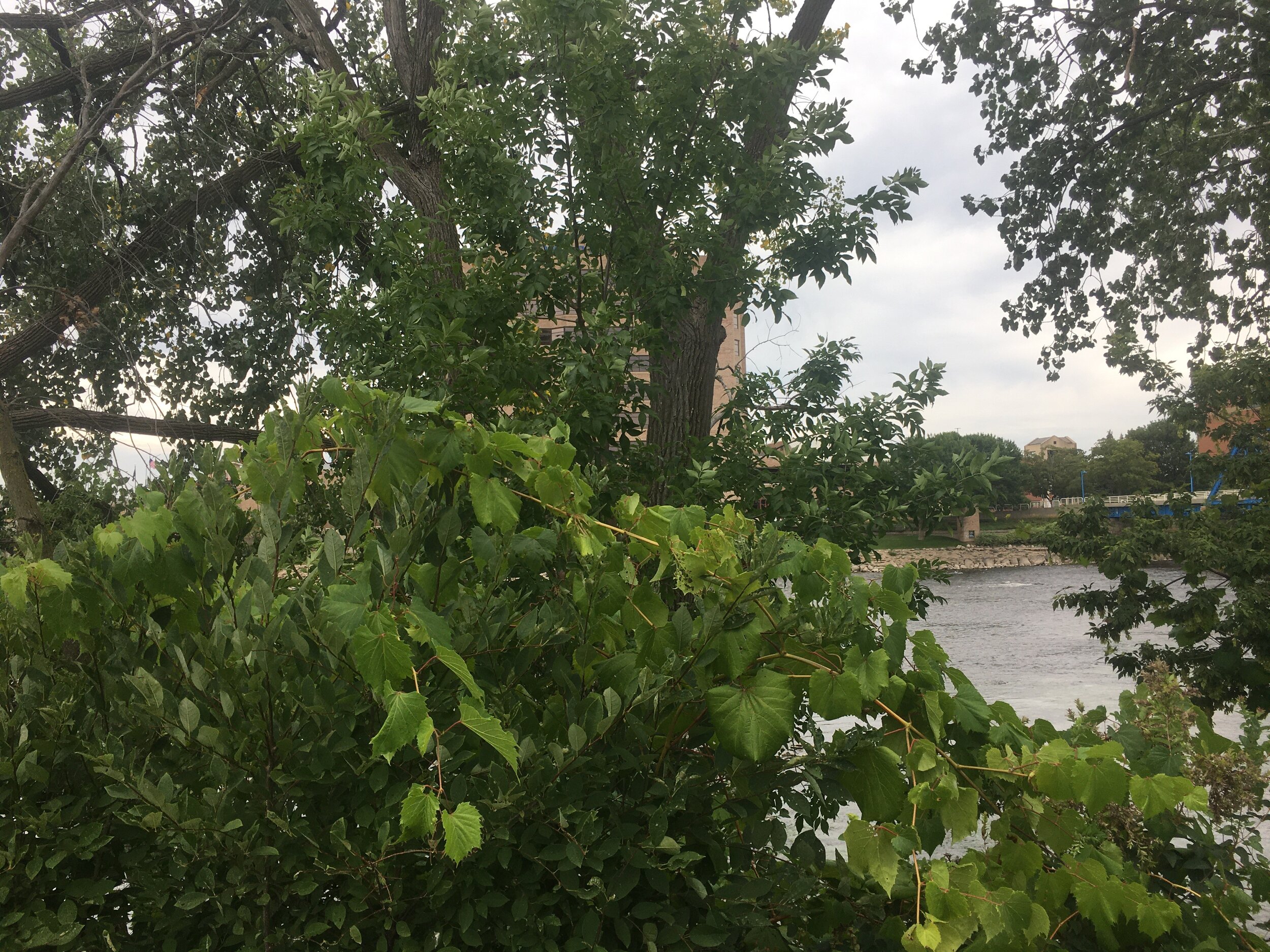
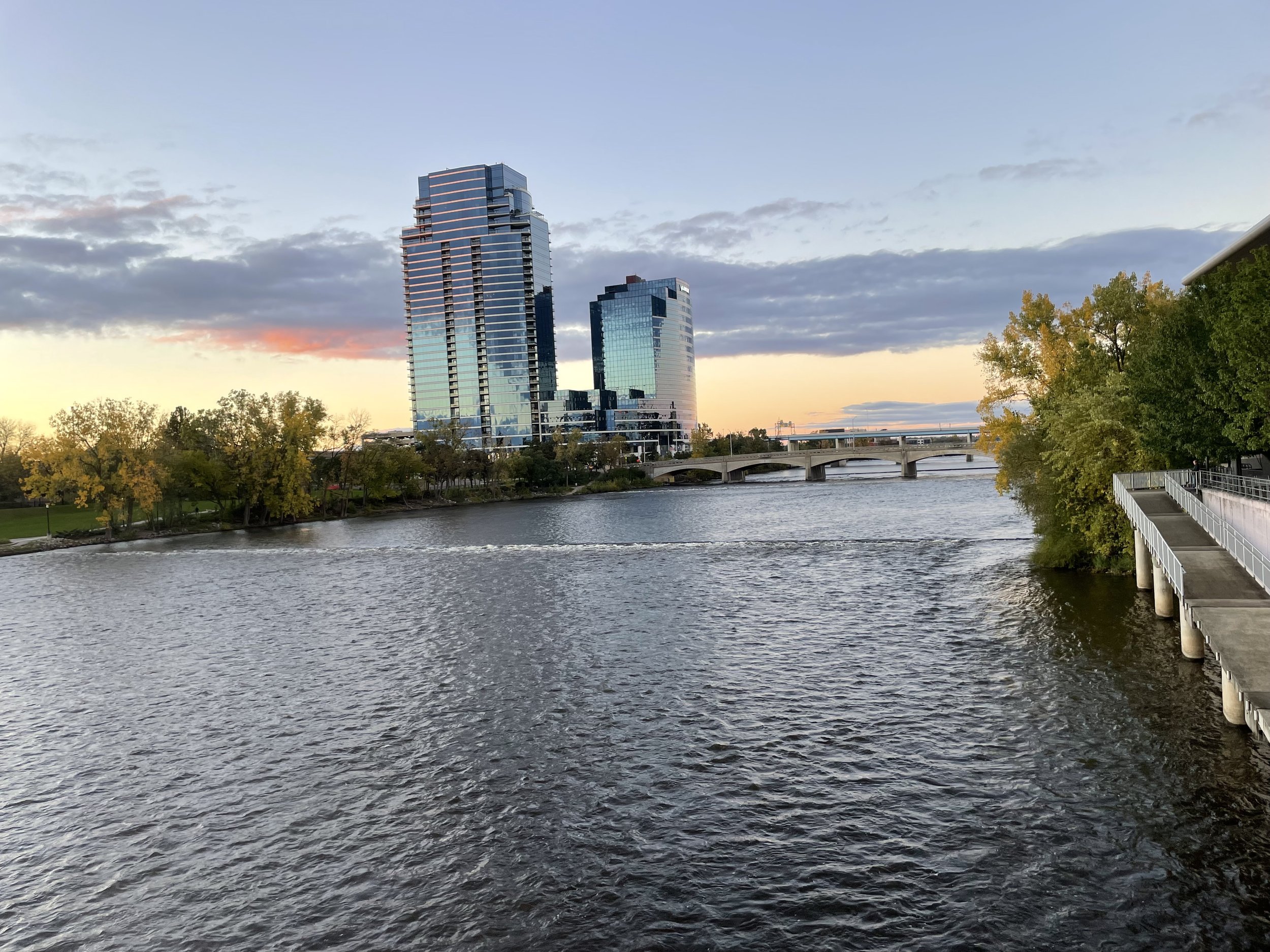
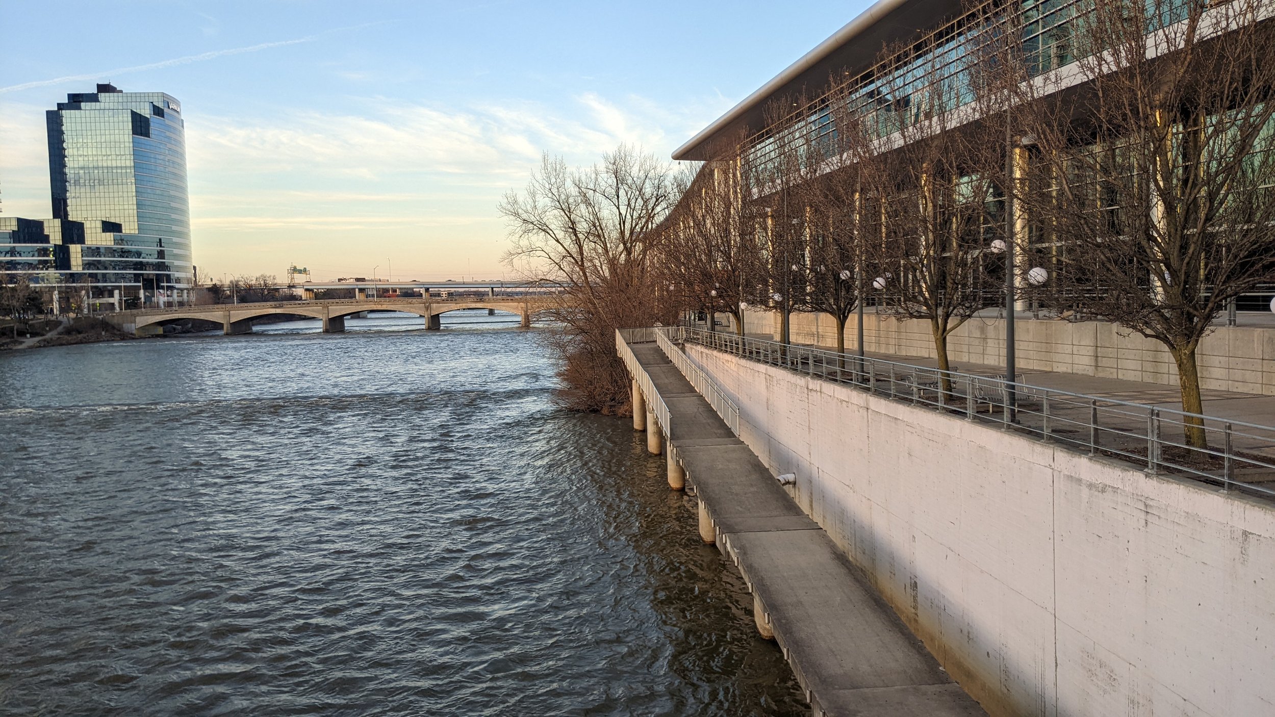
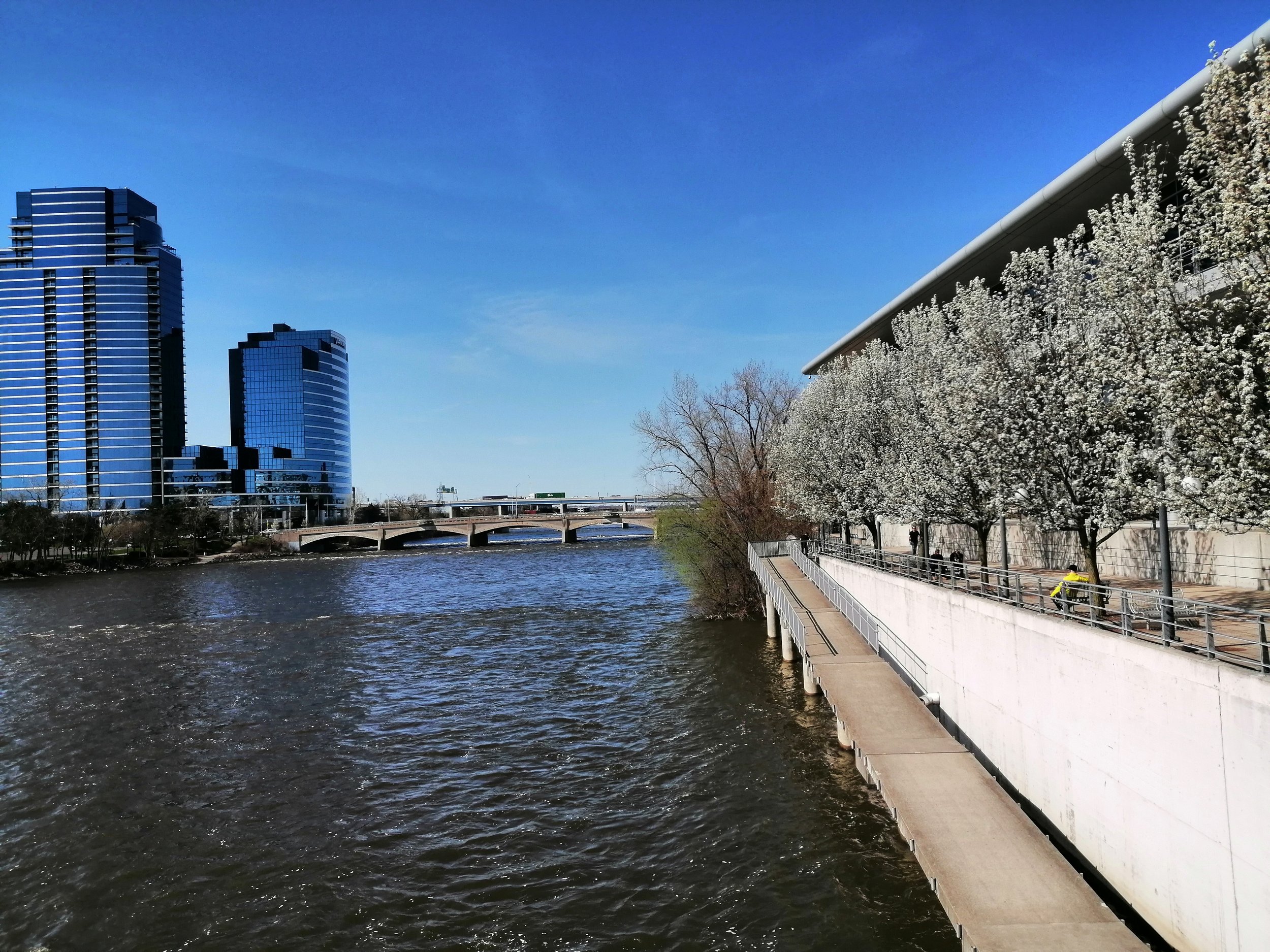
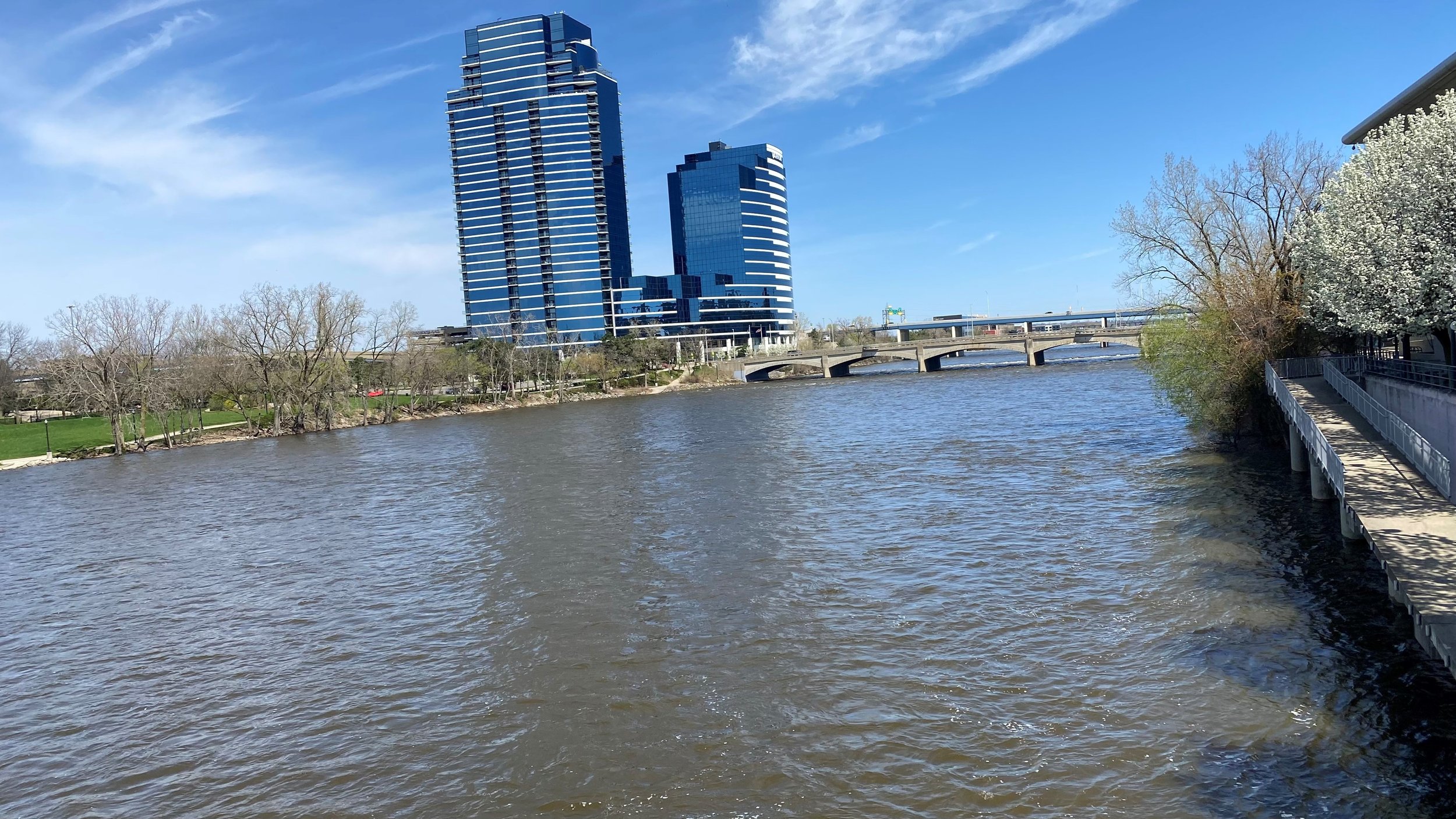
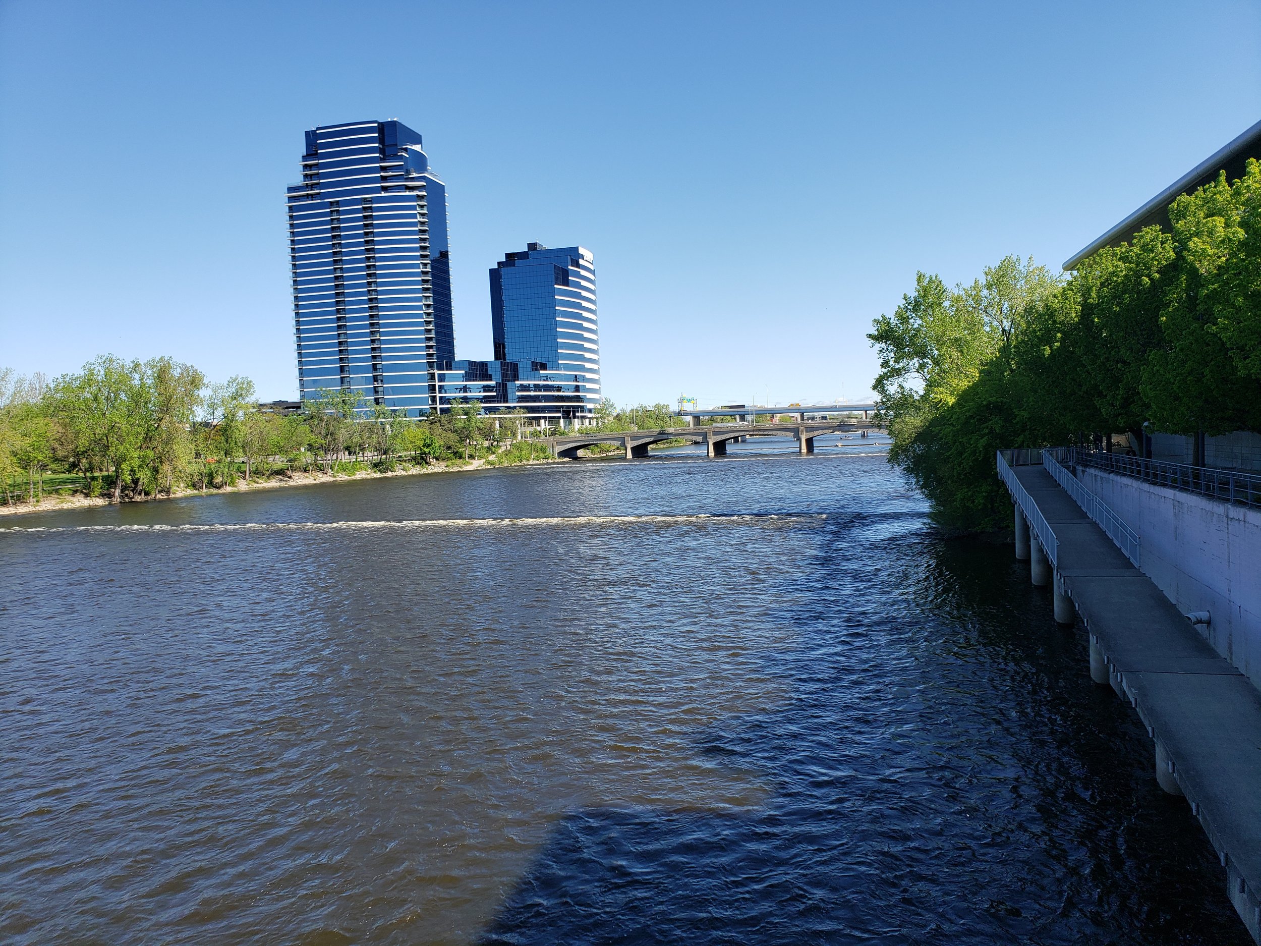
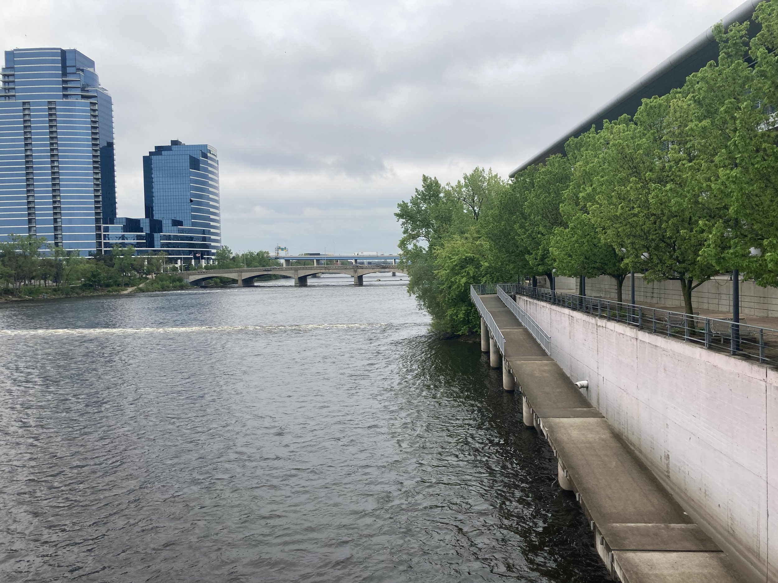
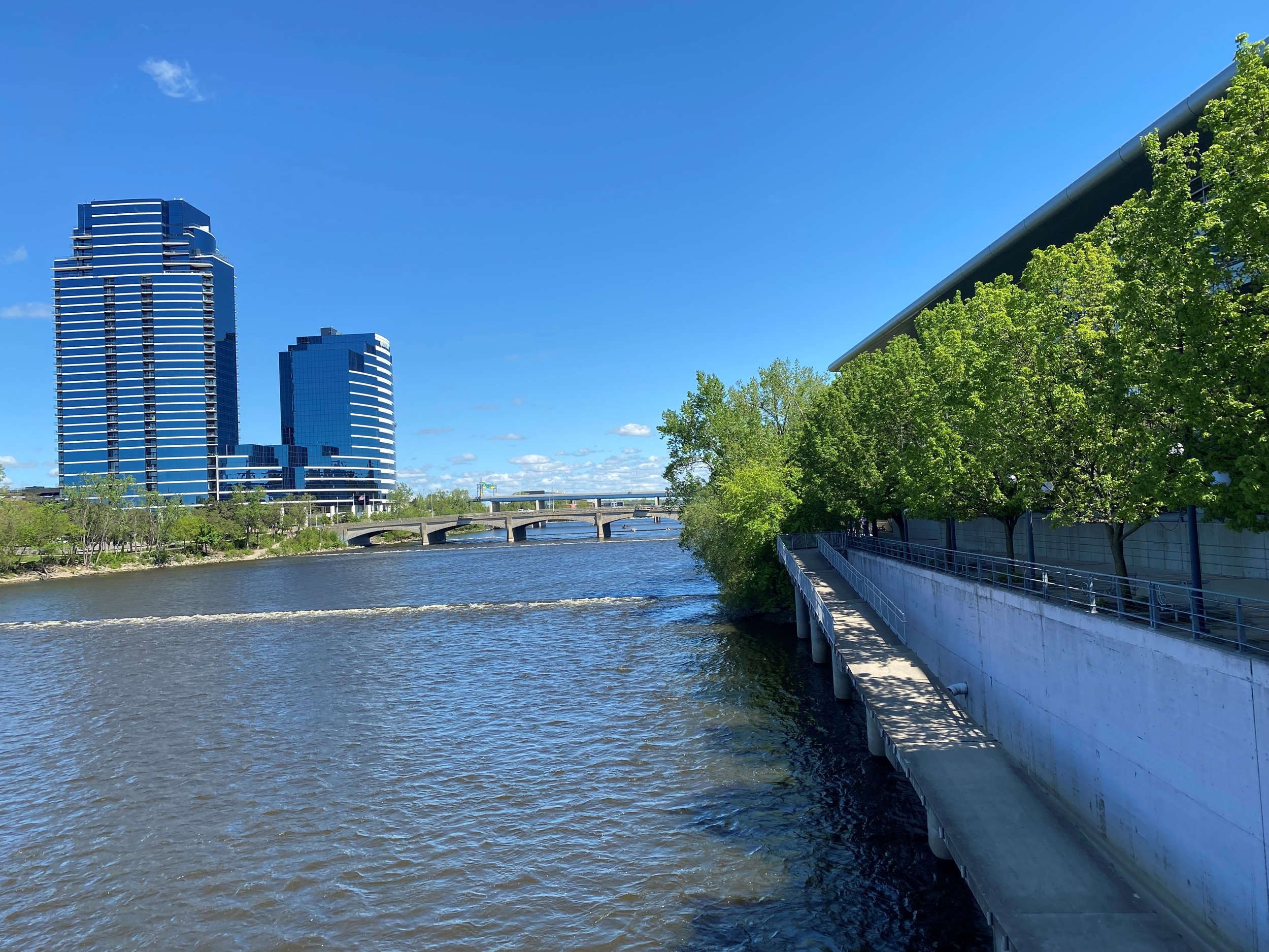
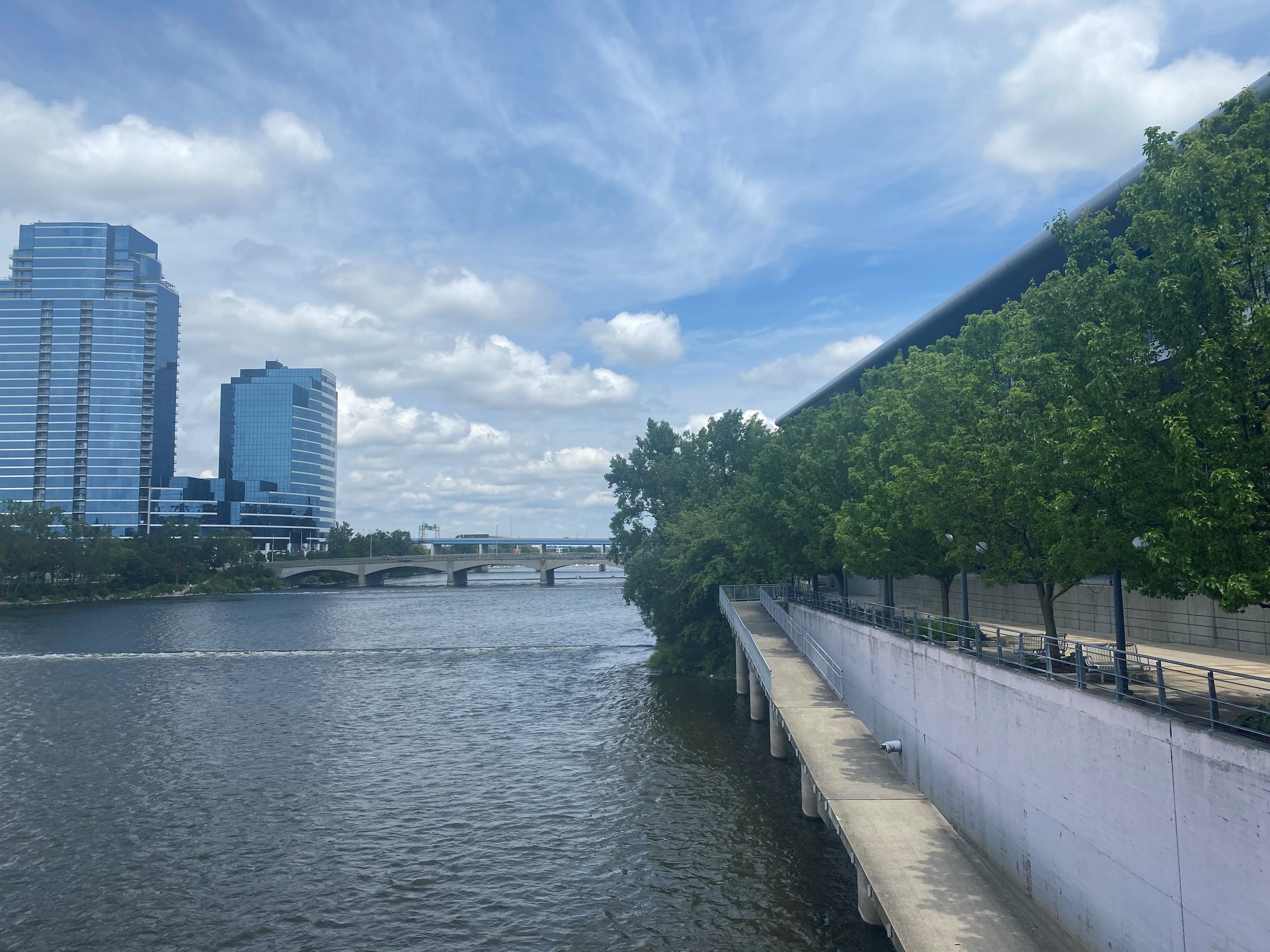
Photo Monitoring
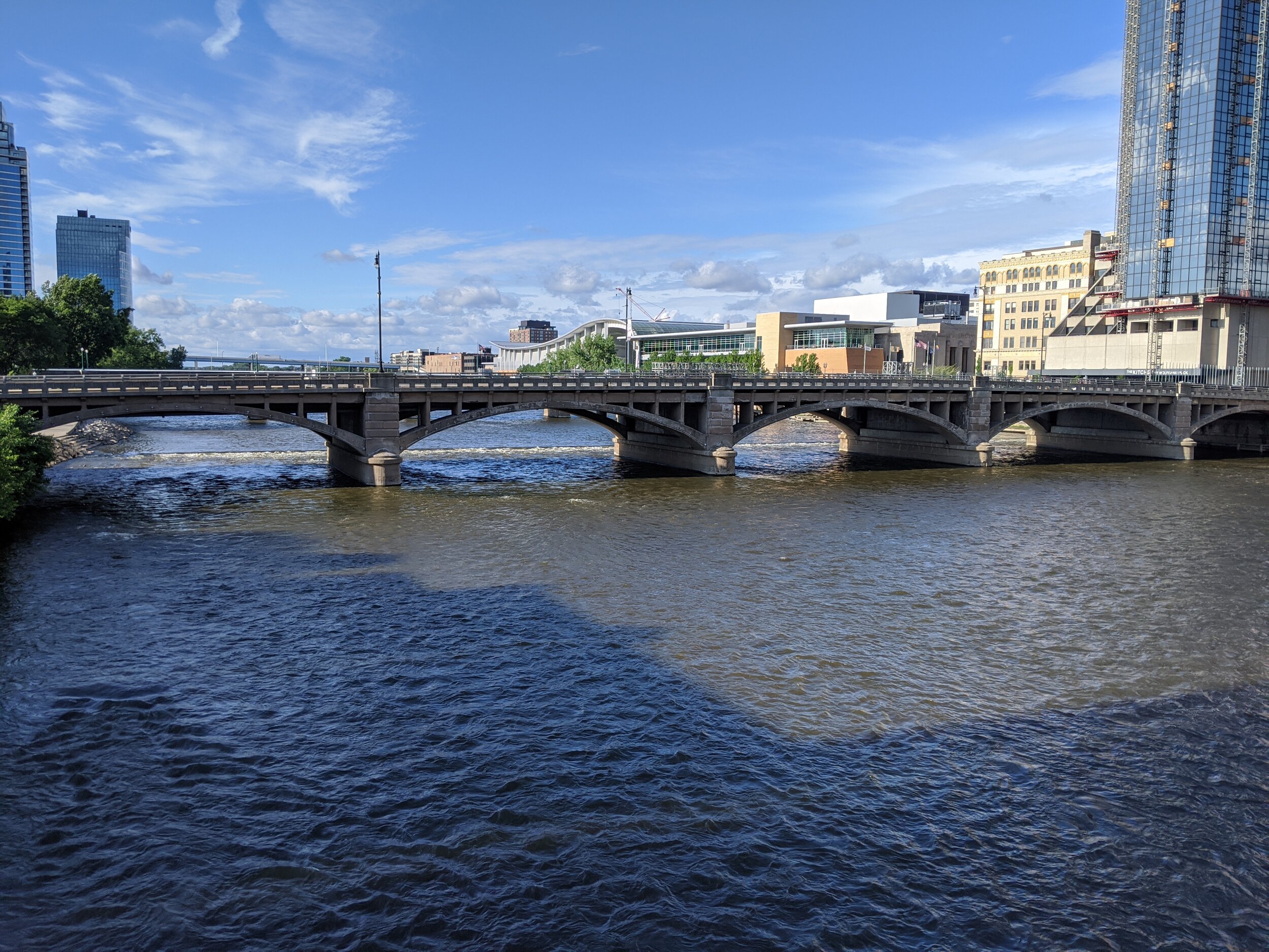
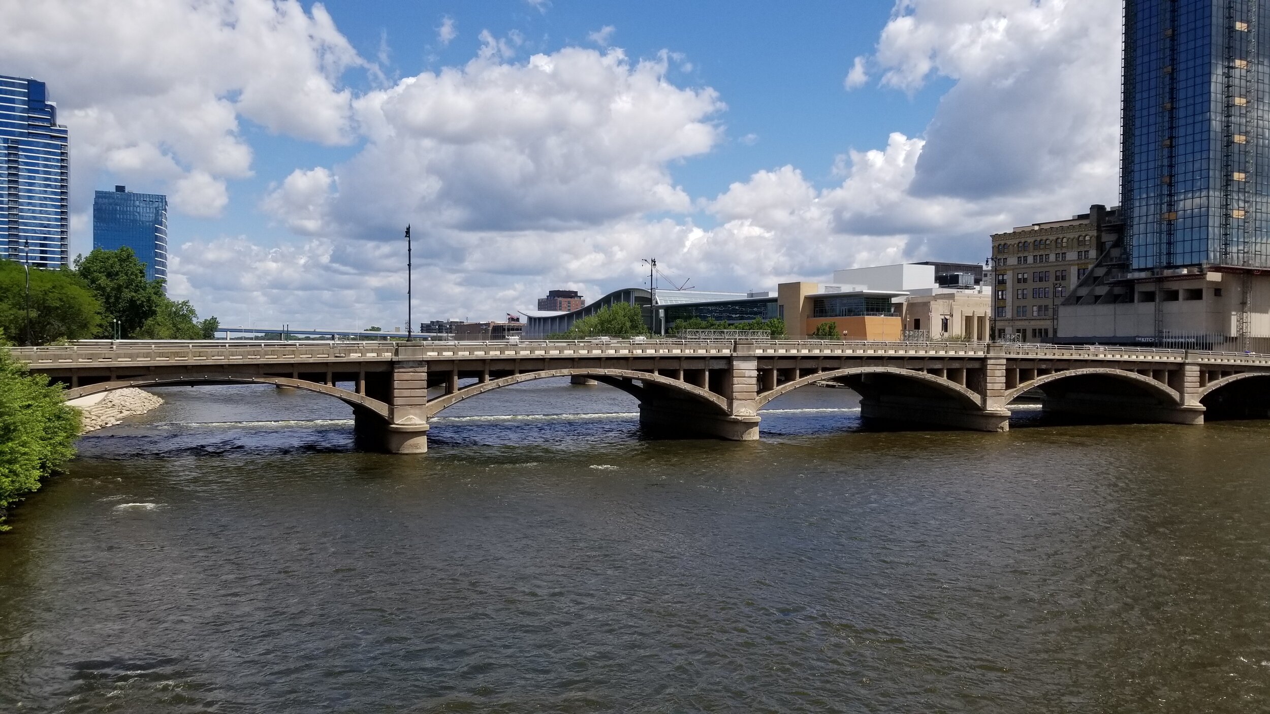
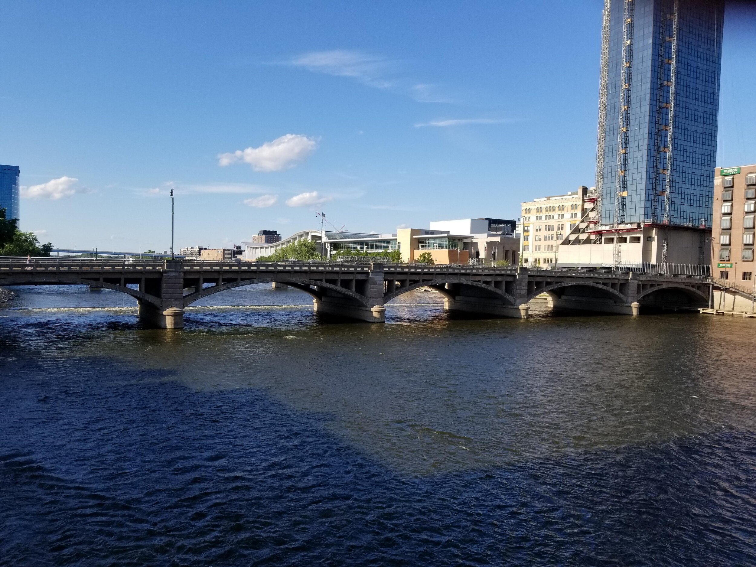
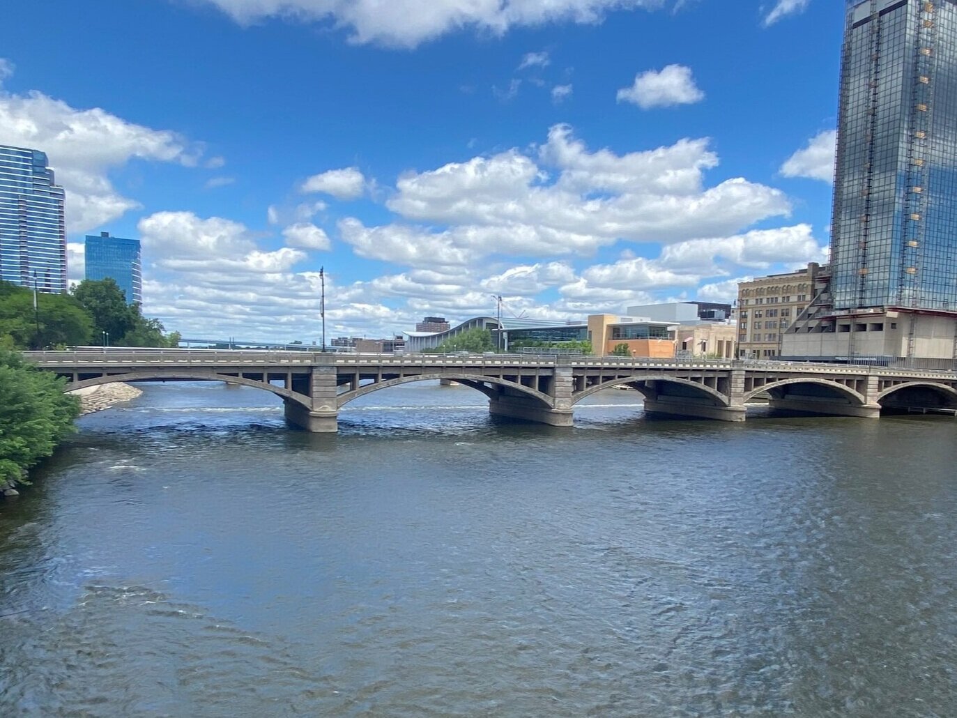
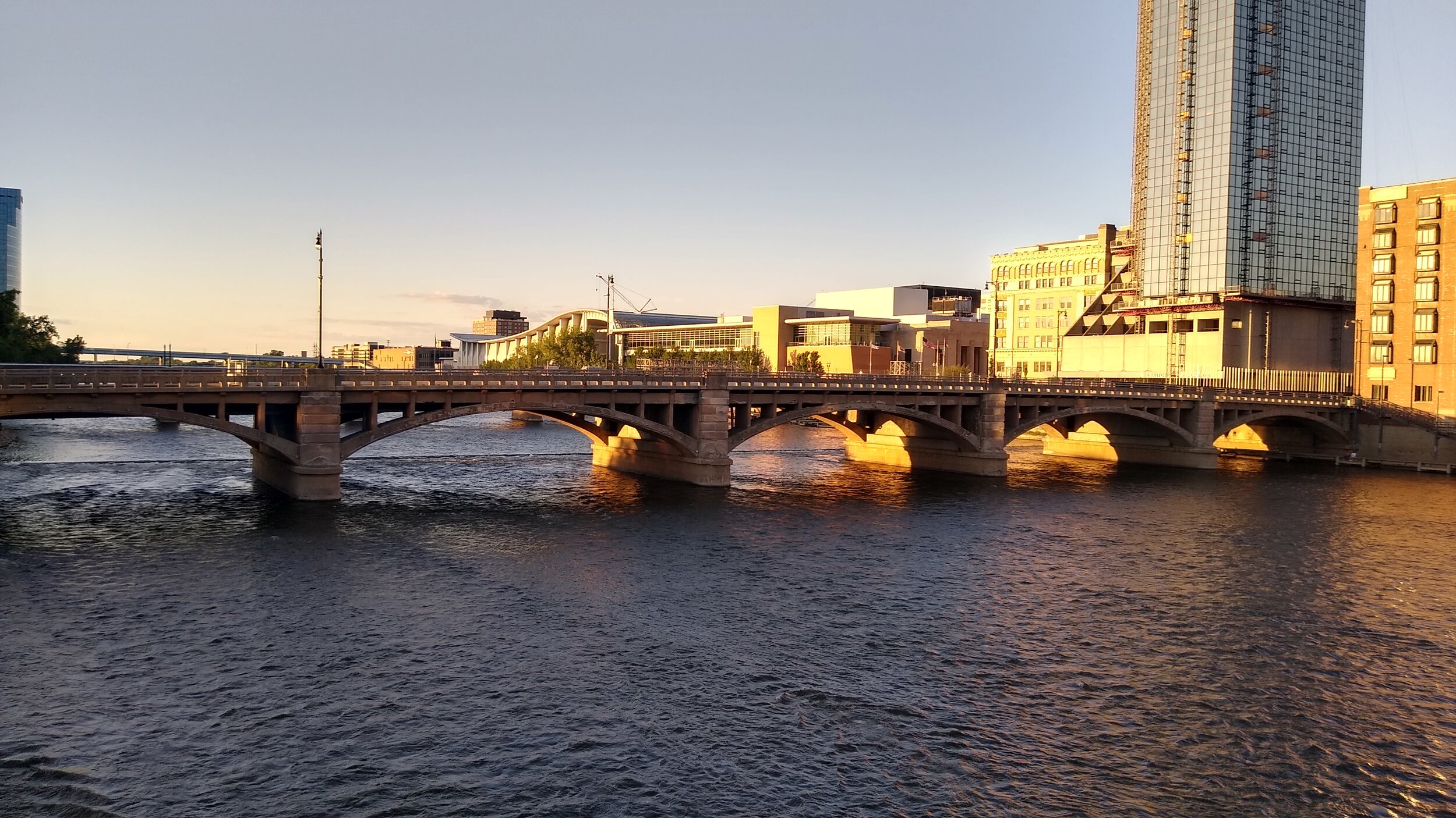
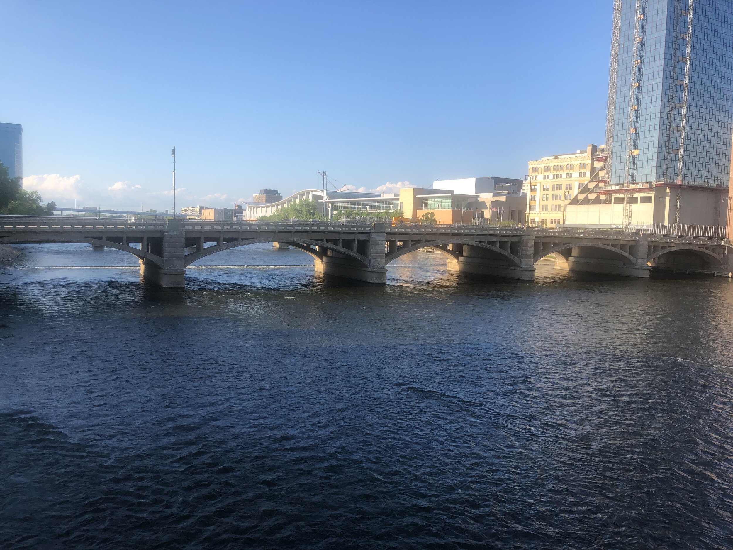
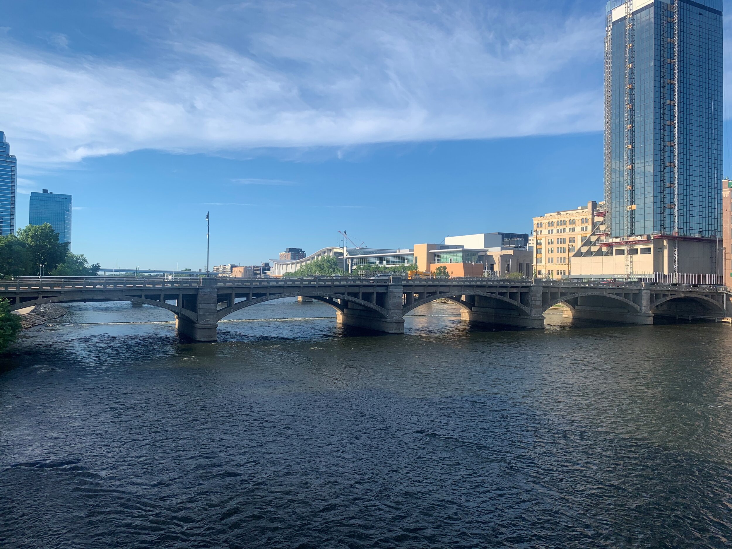
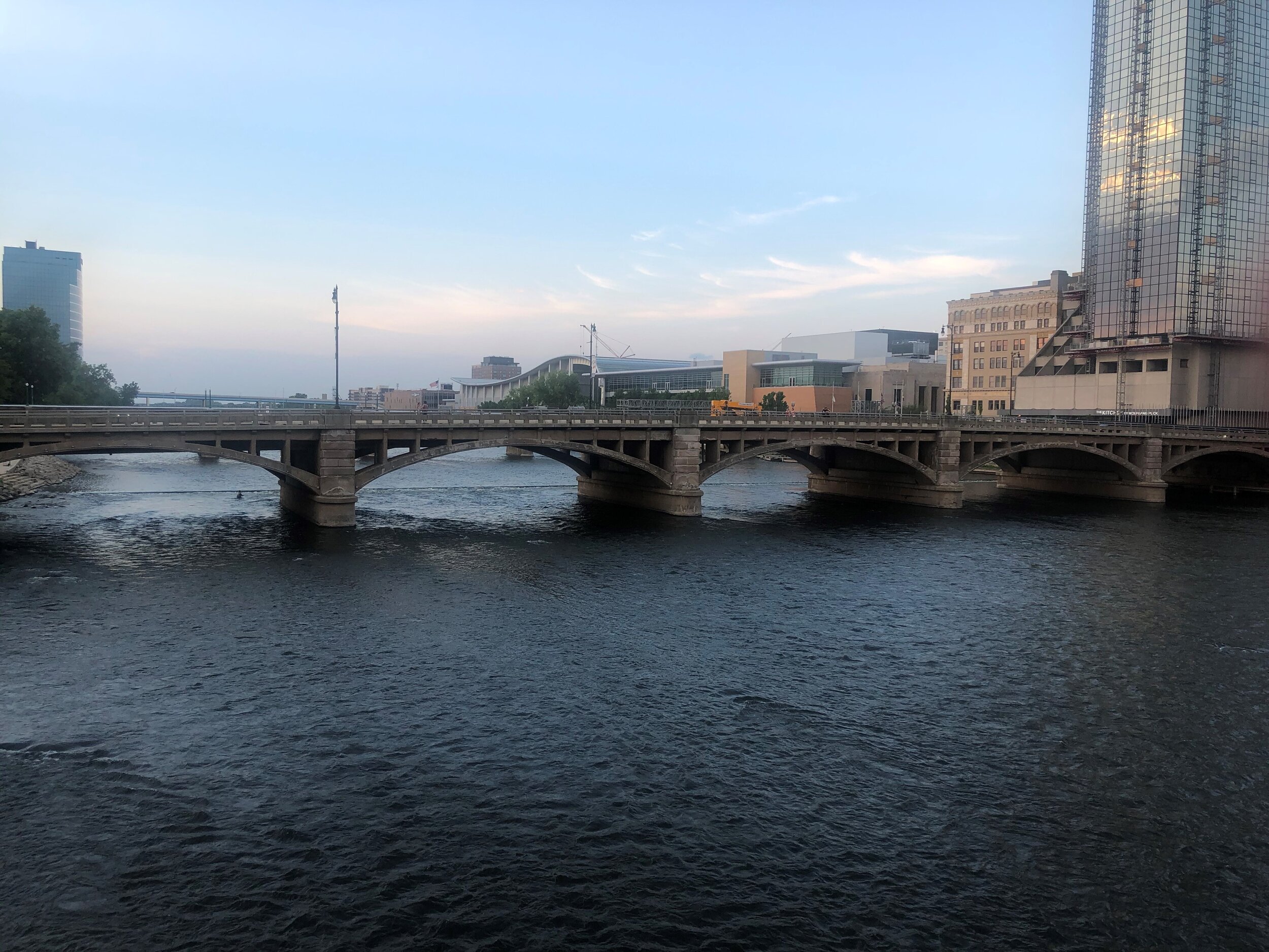
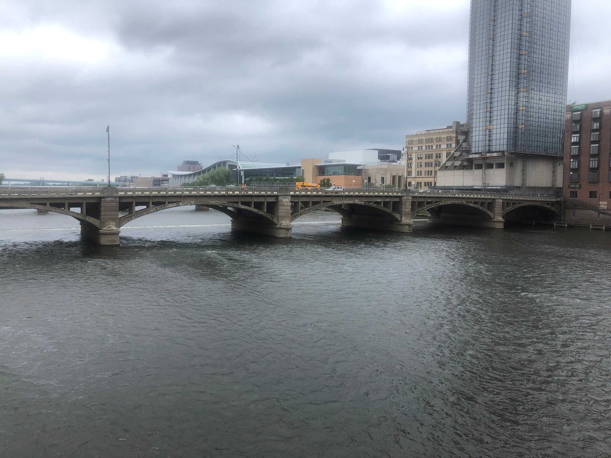
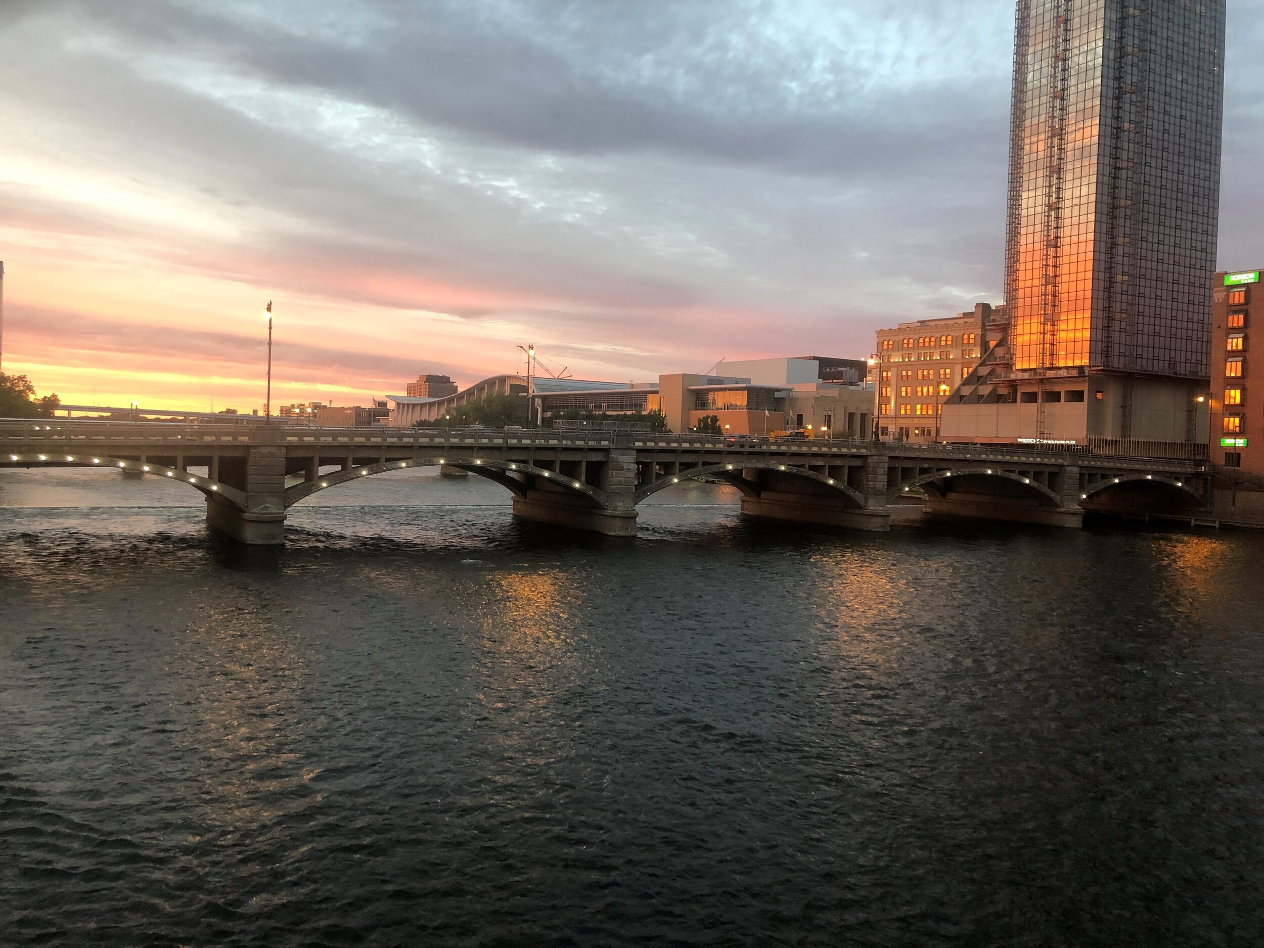
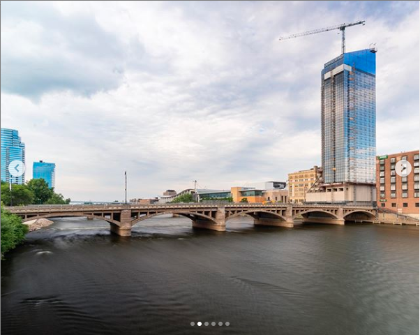
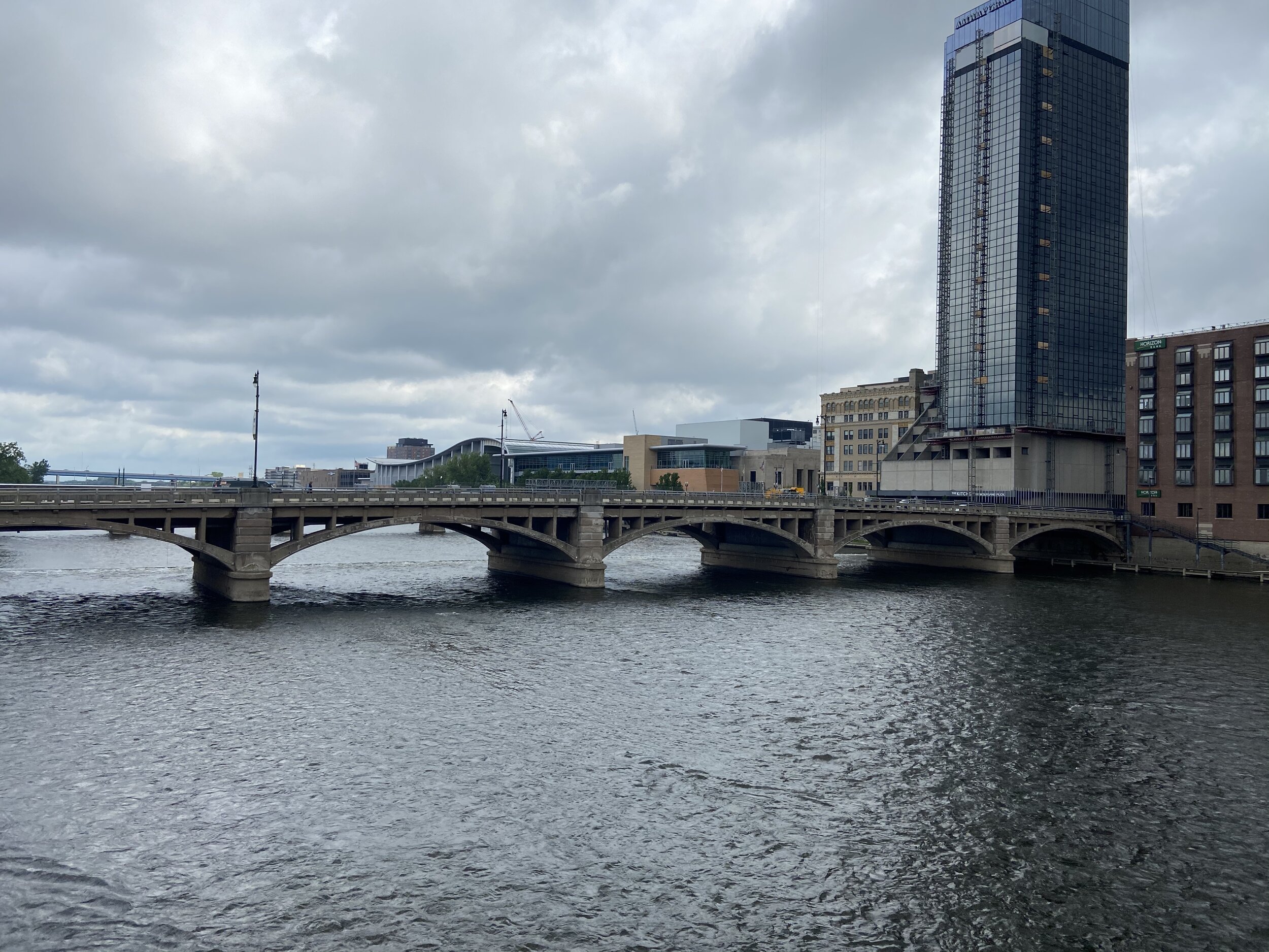
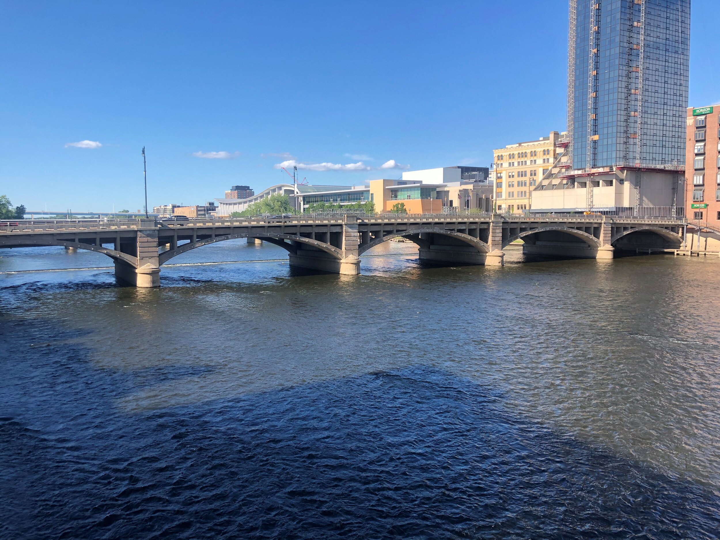
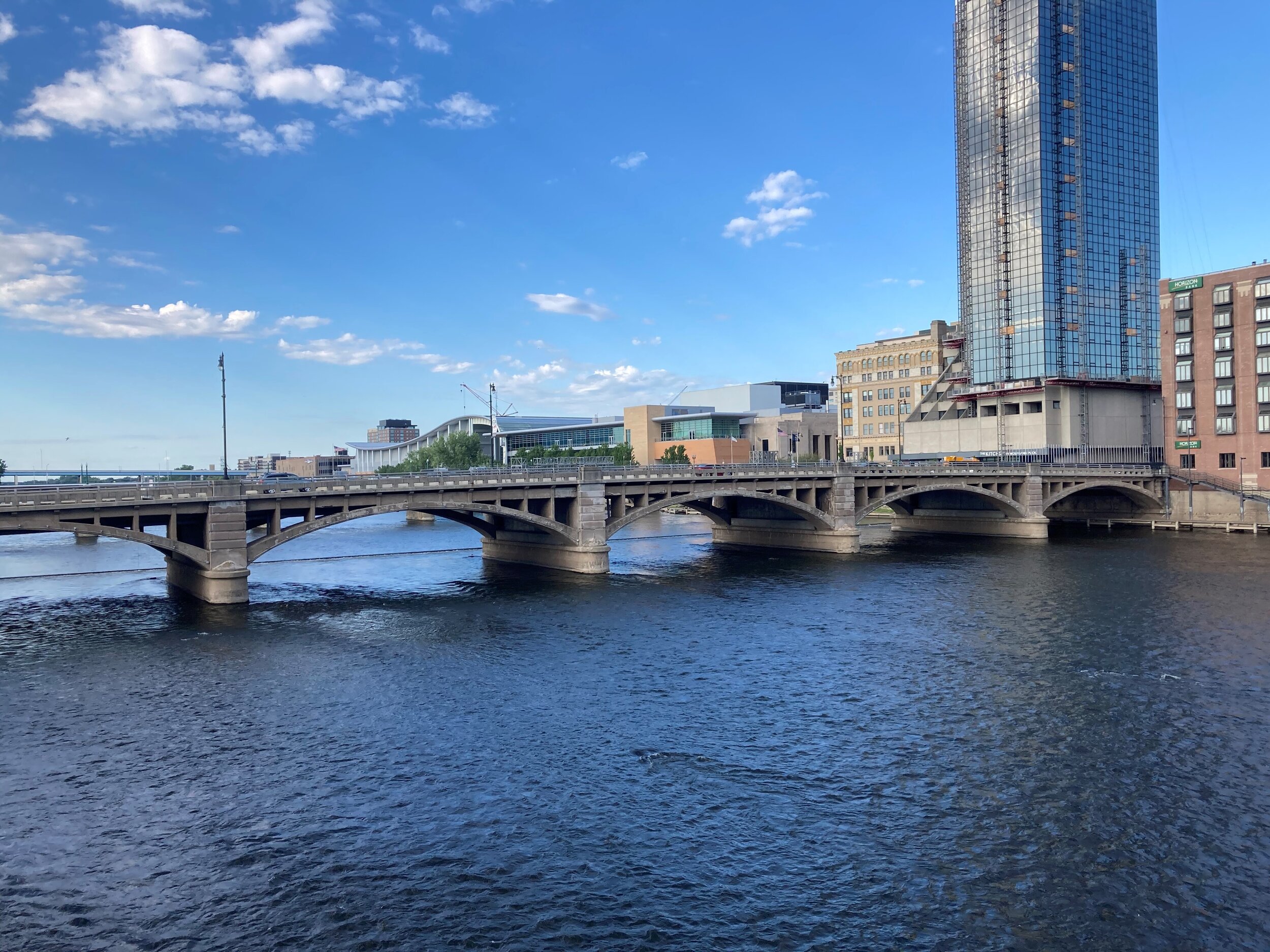
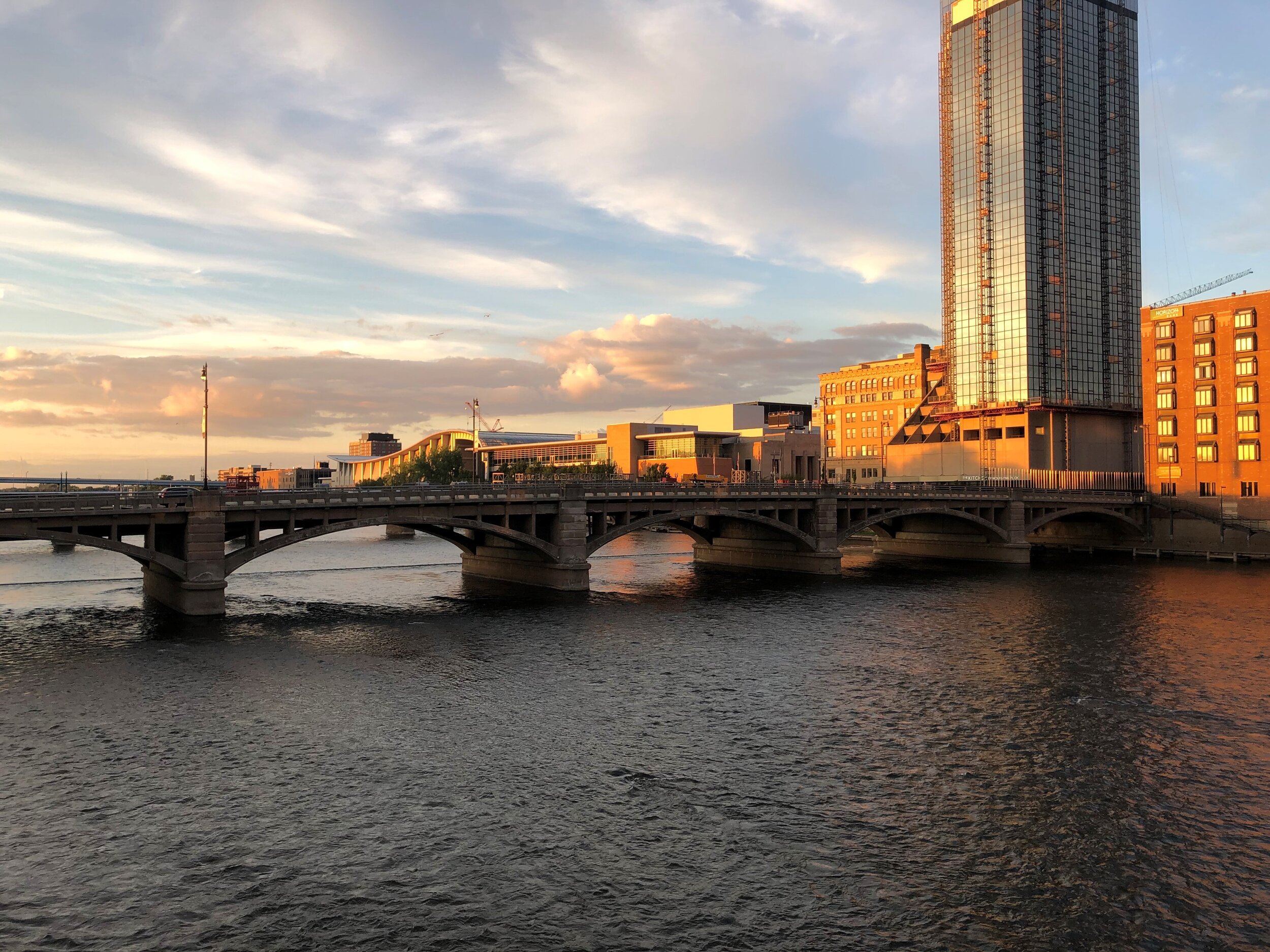
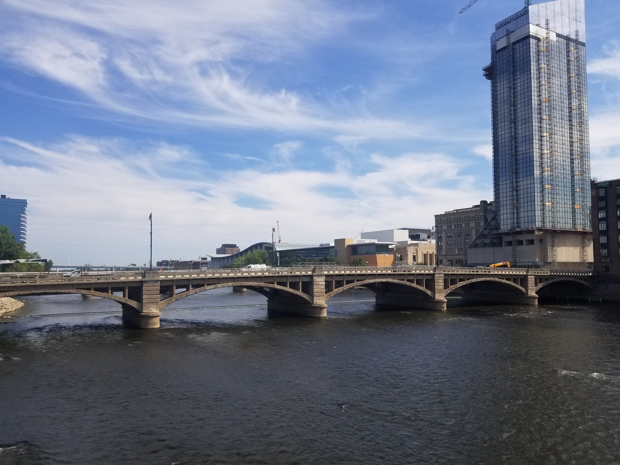
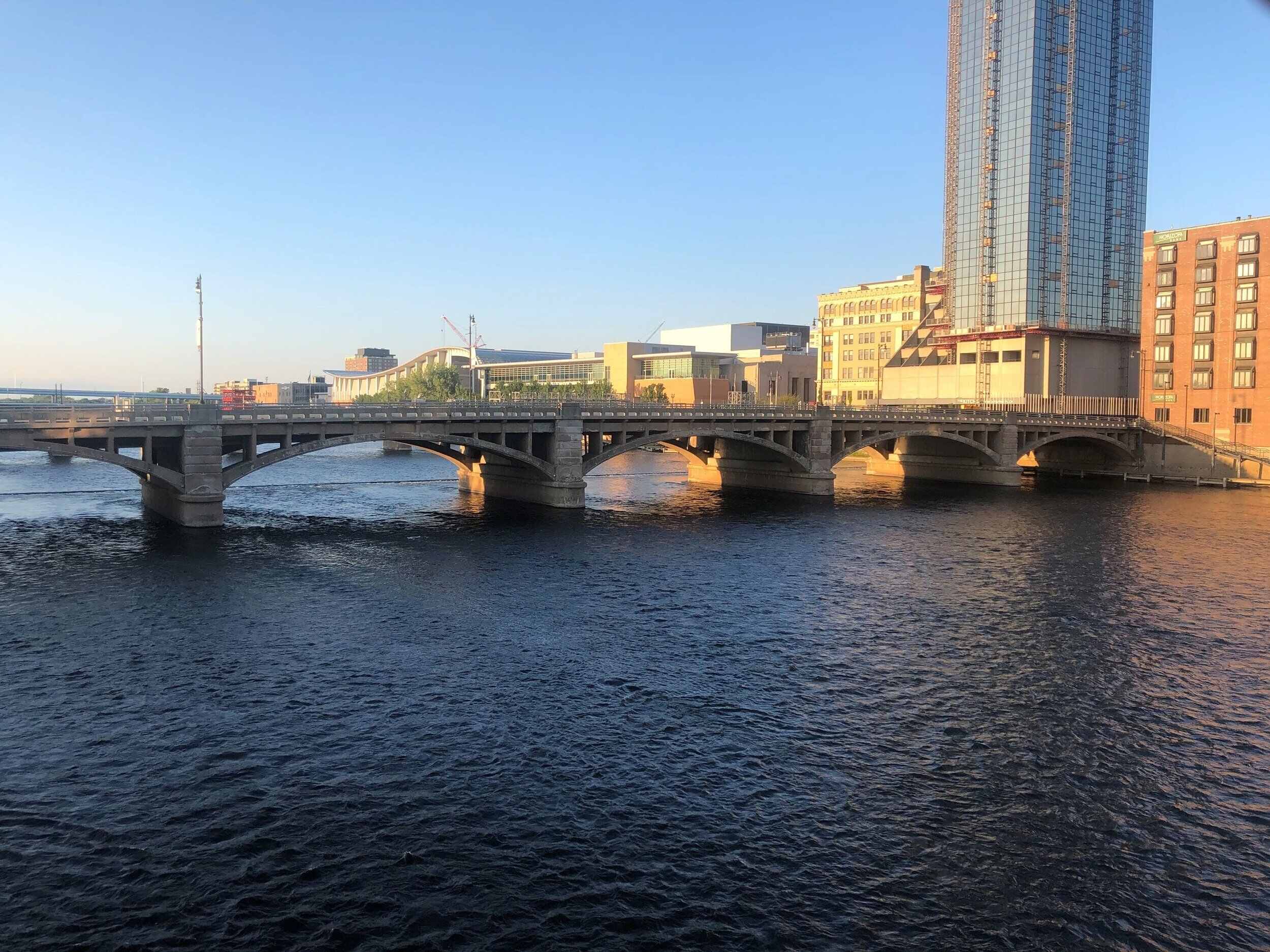
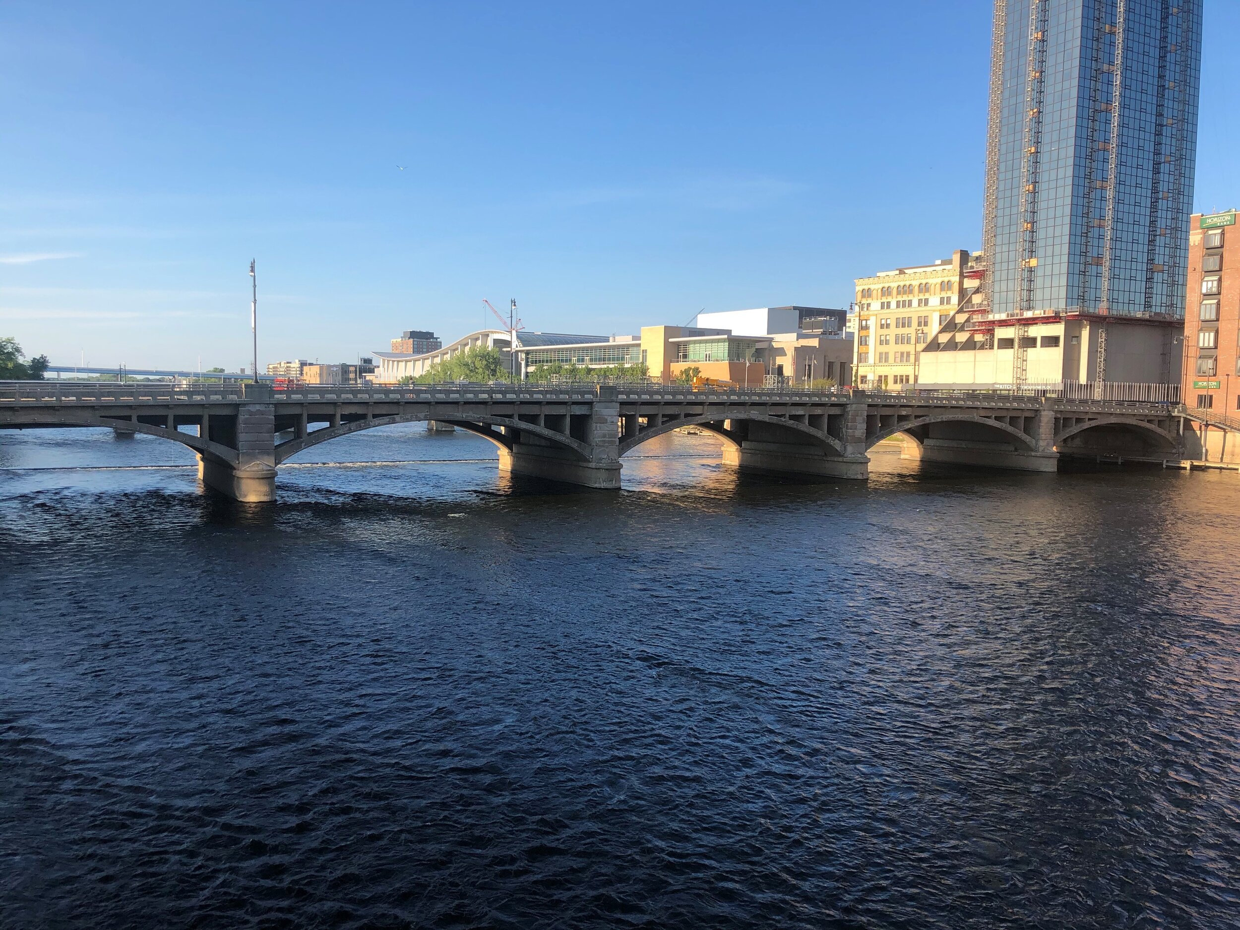
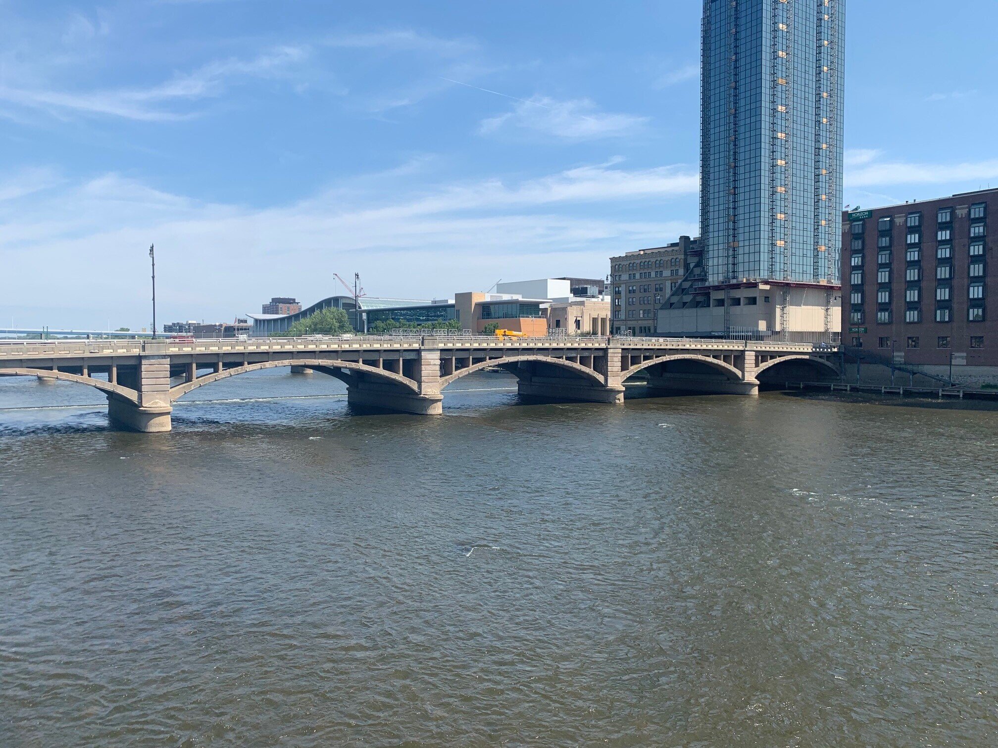
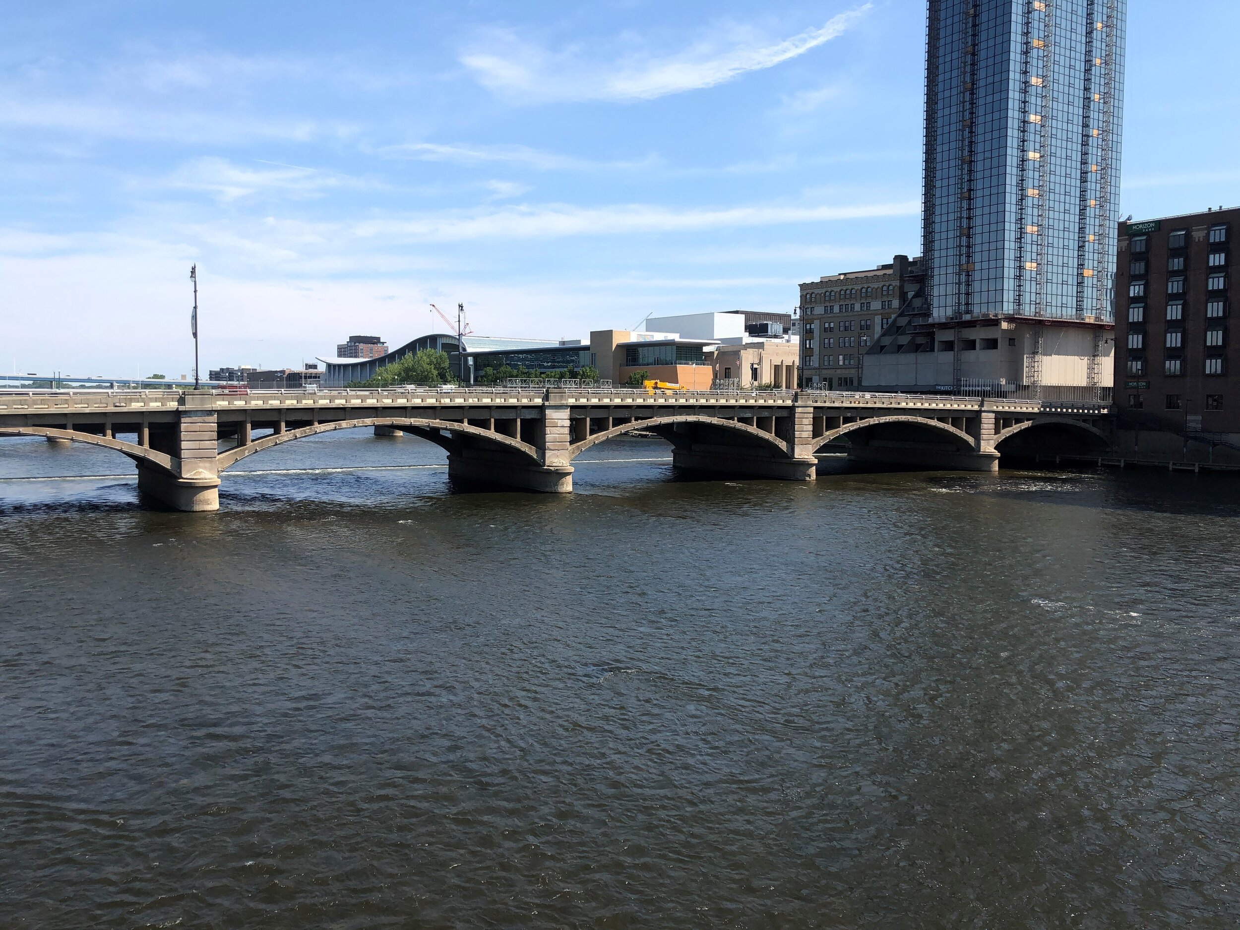
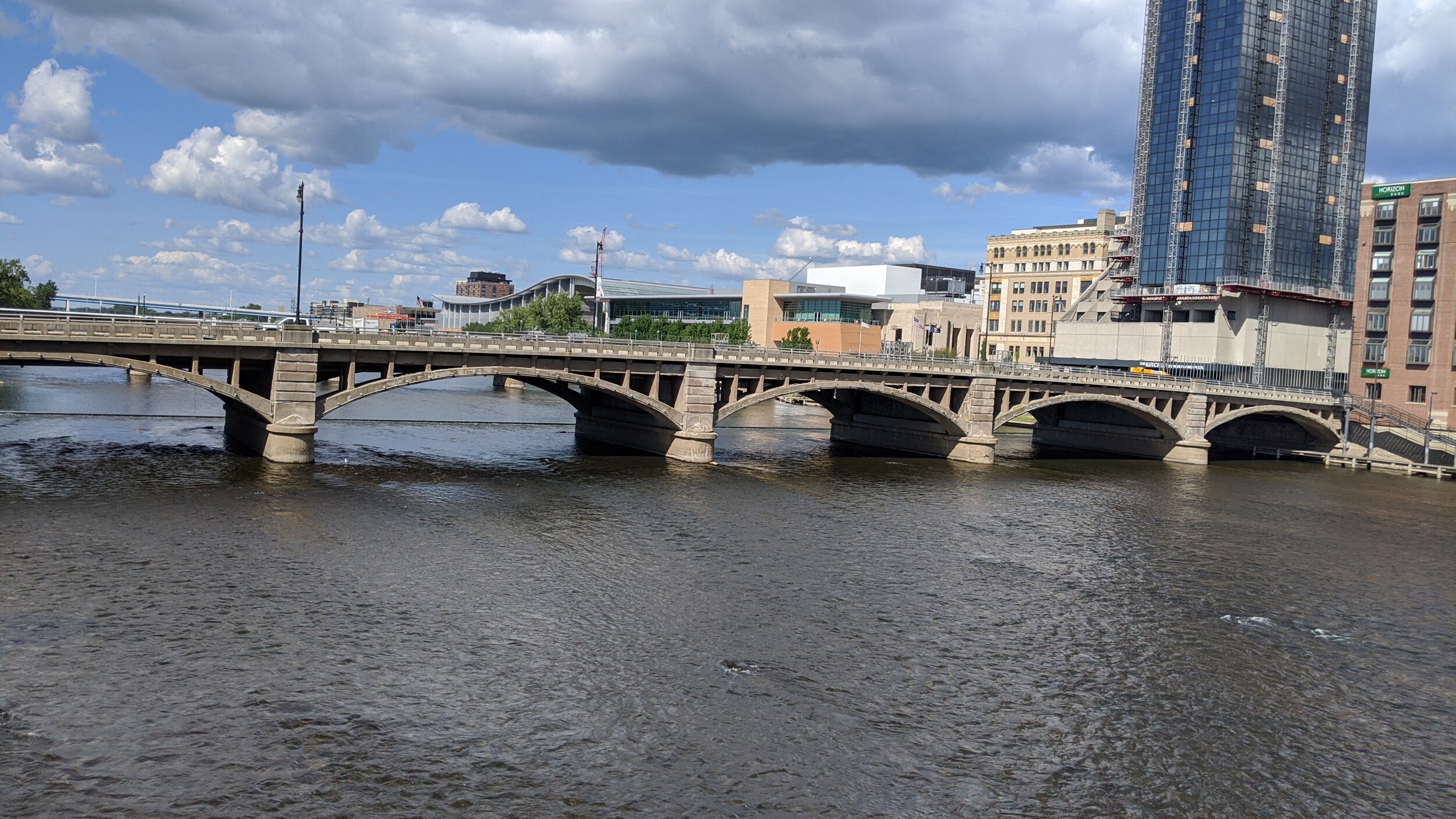
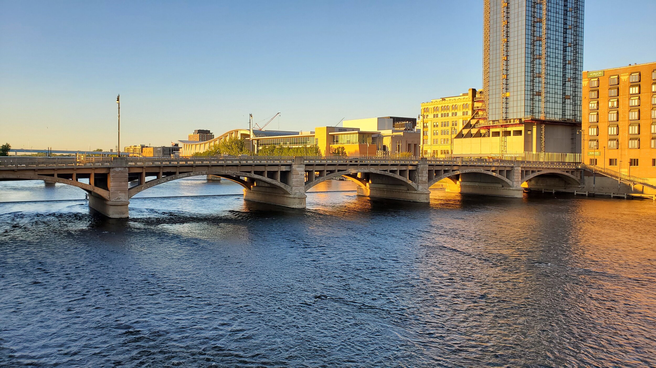
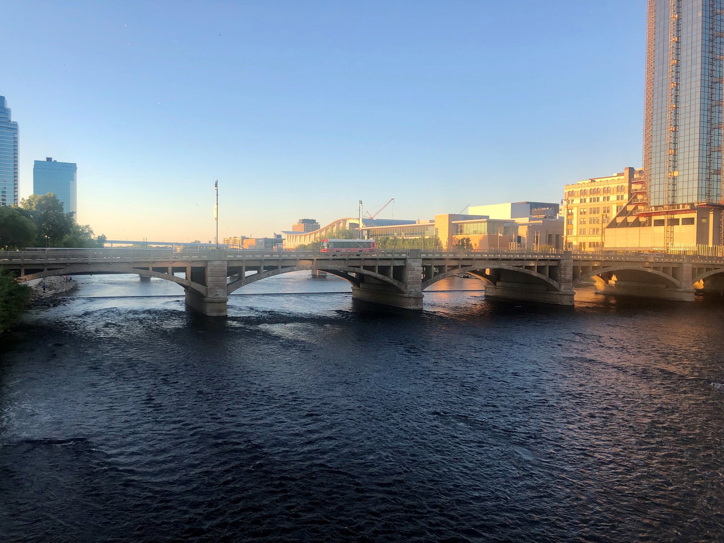
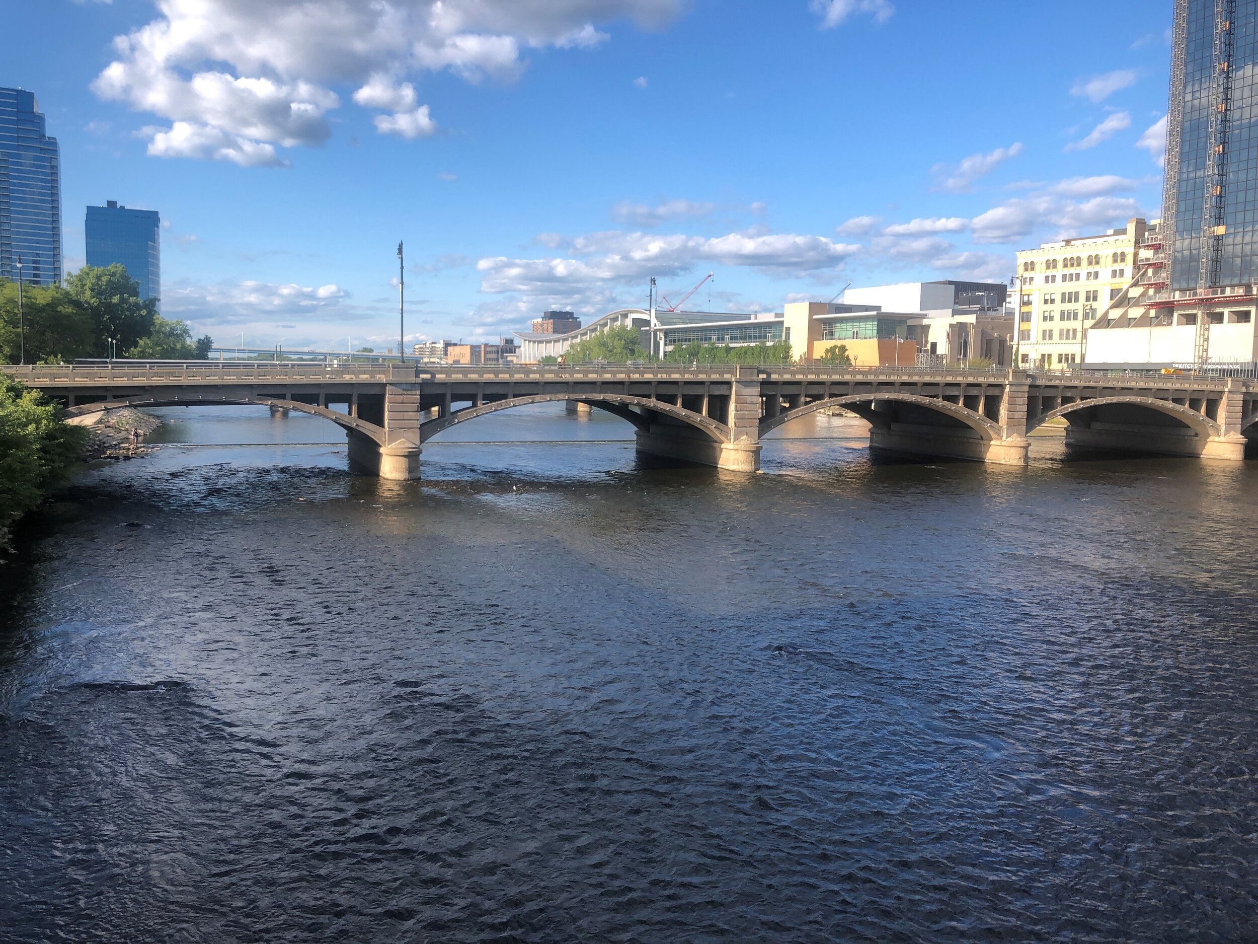
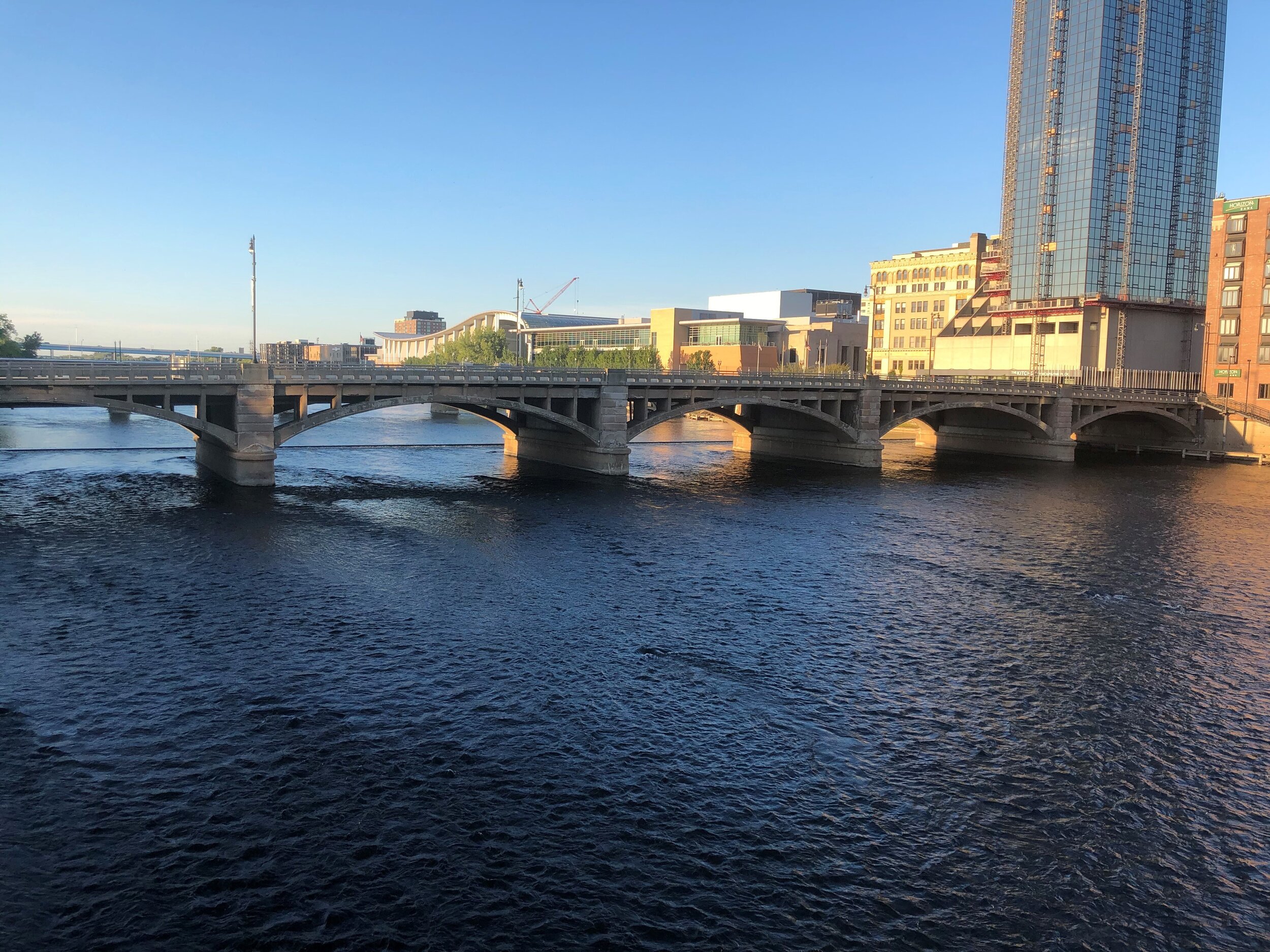
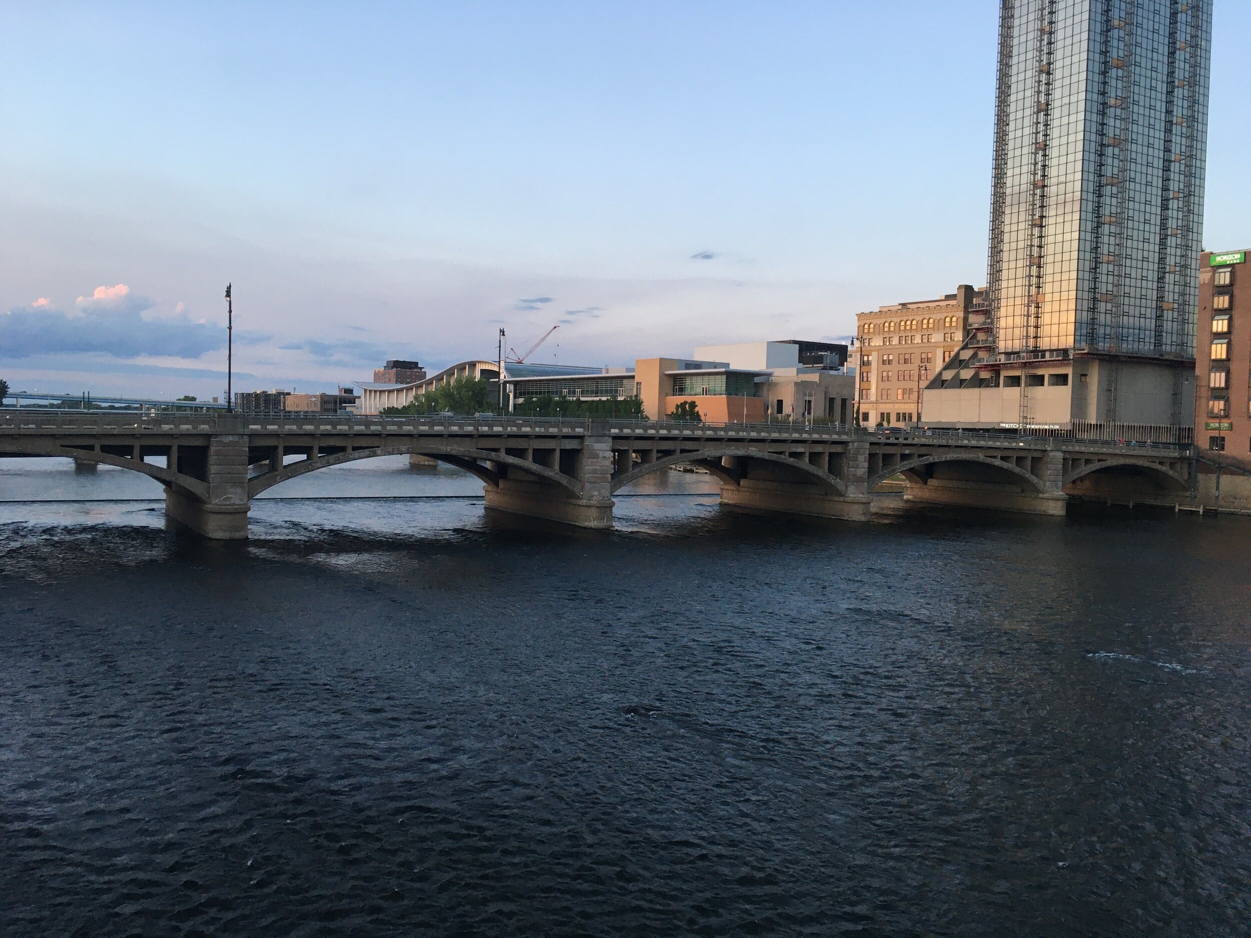
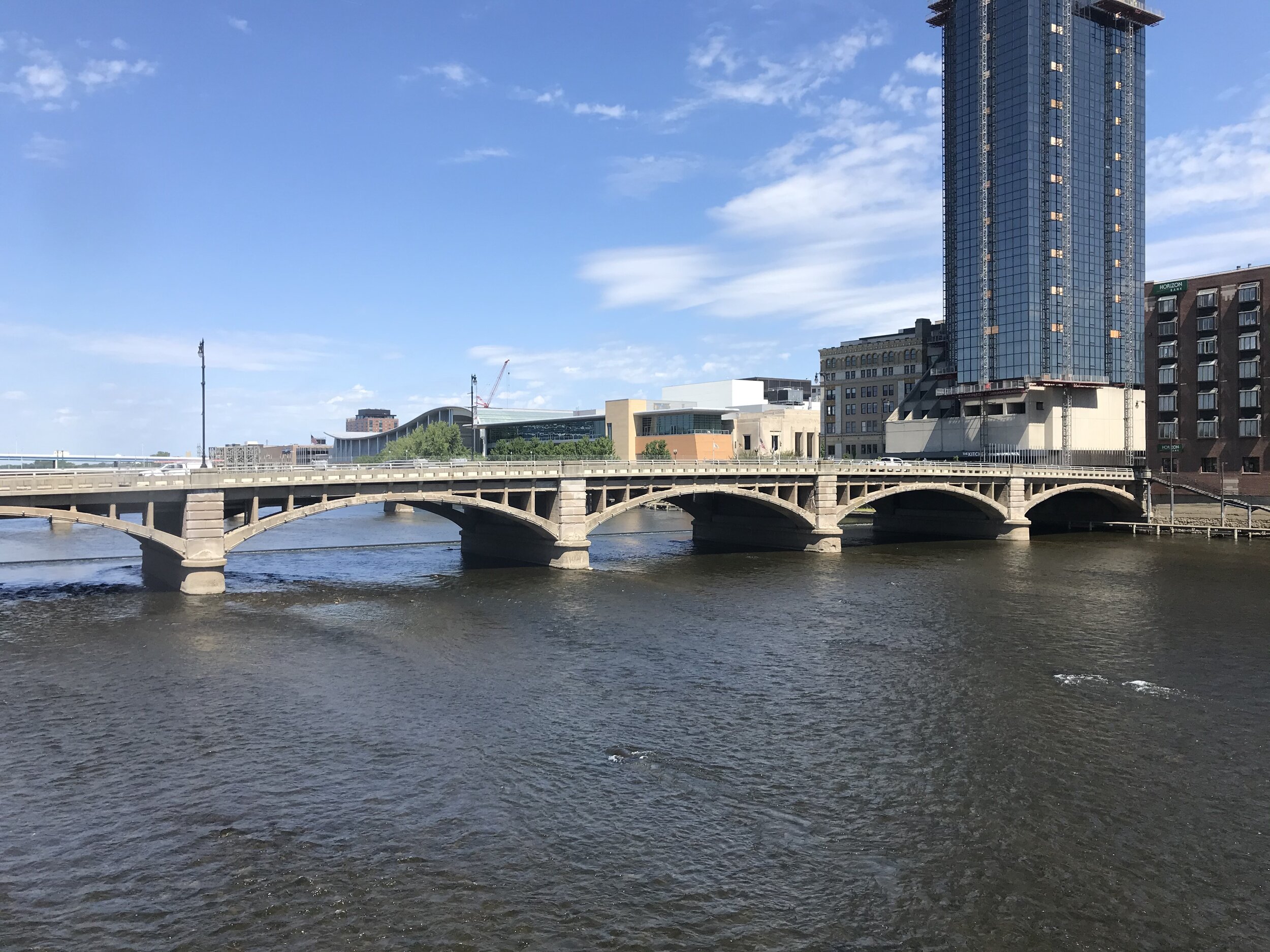
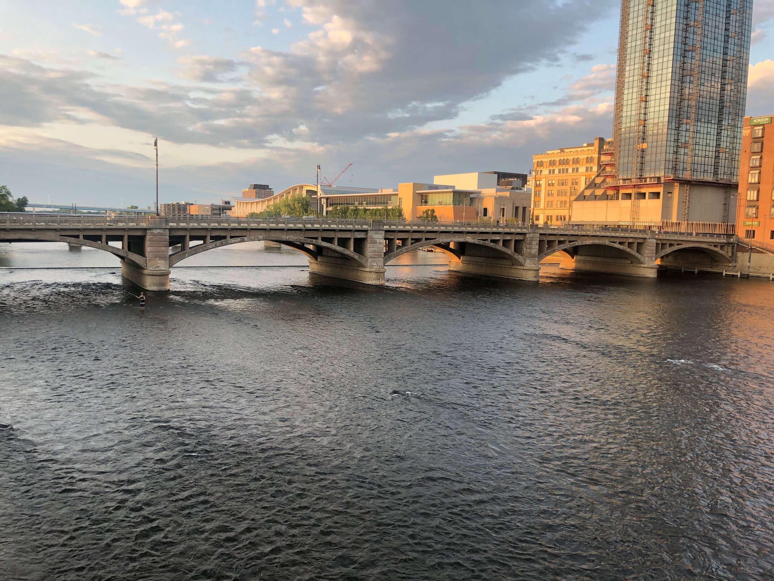
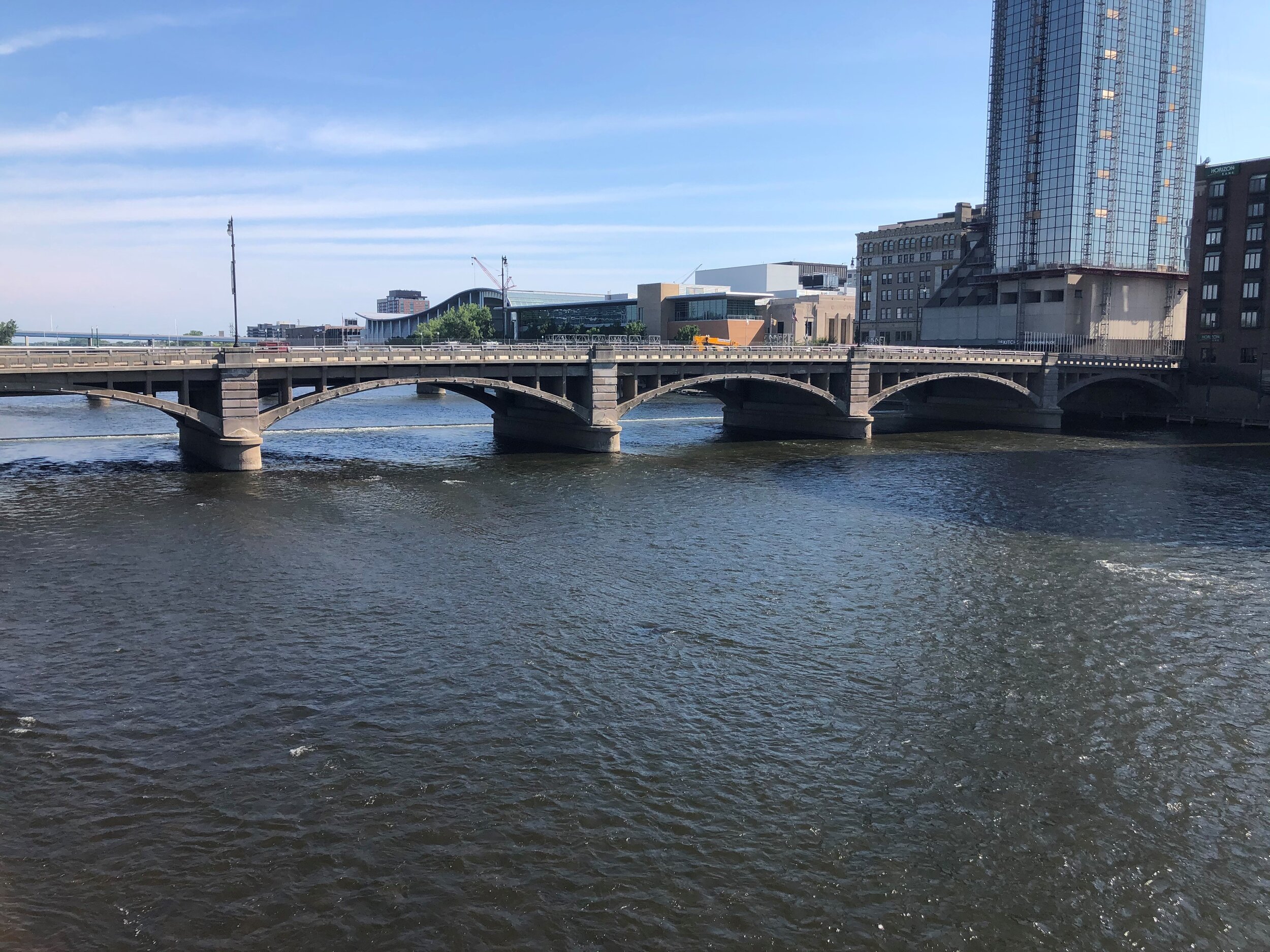
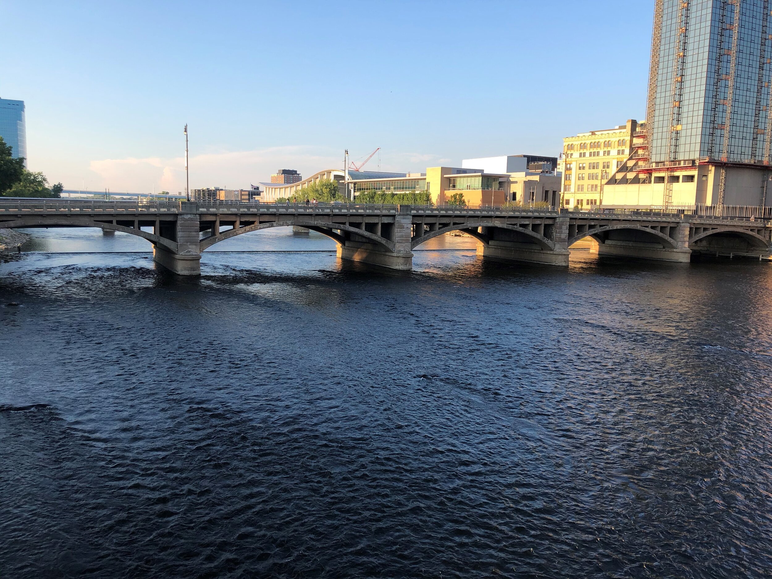
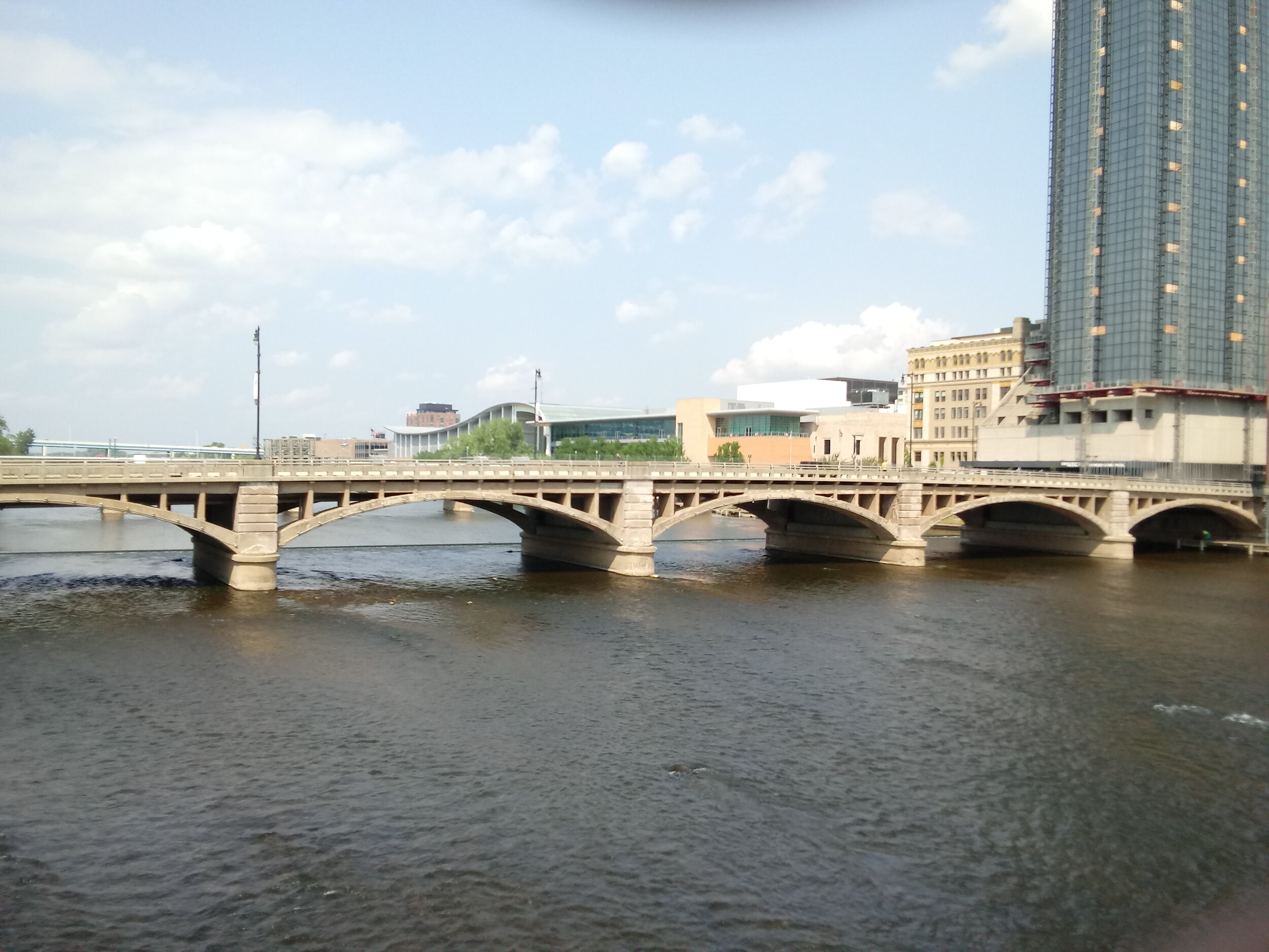
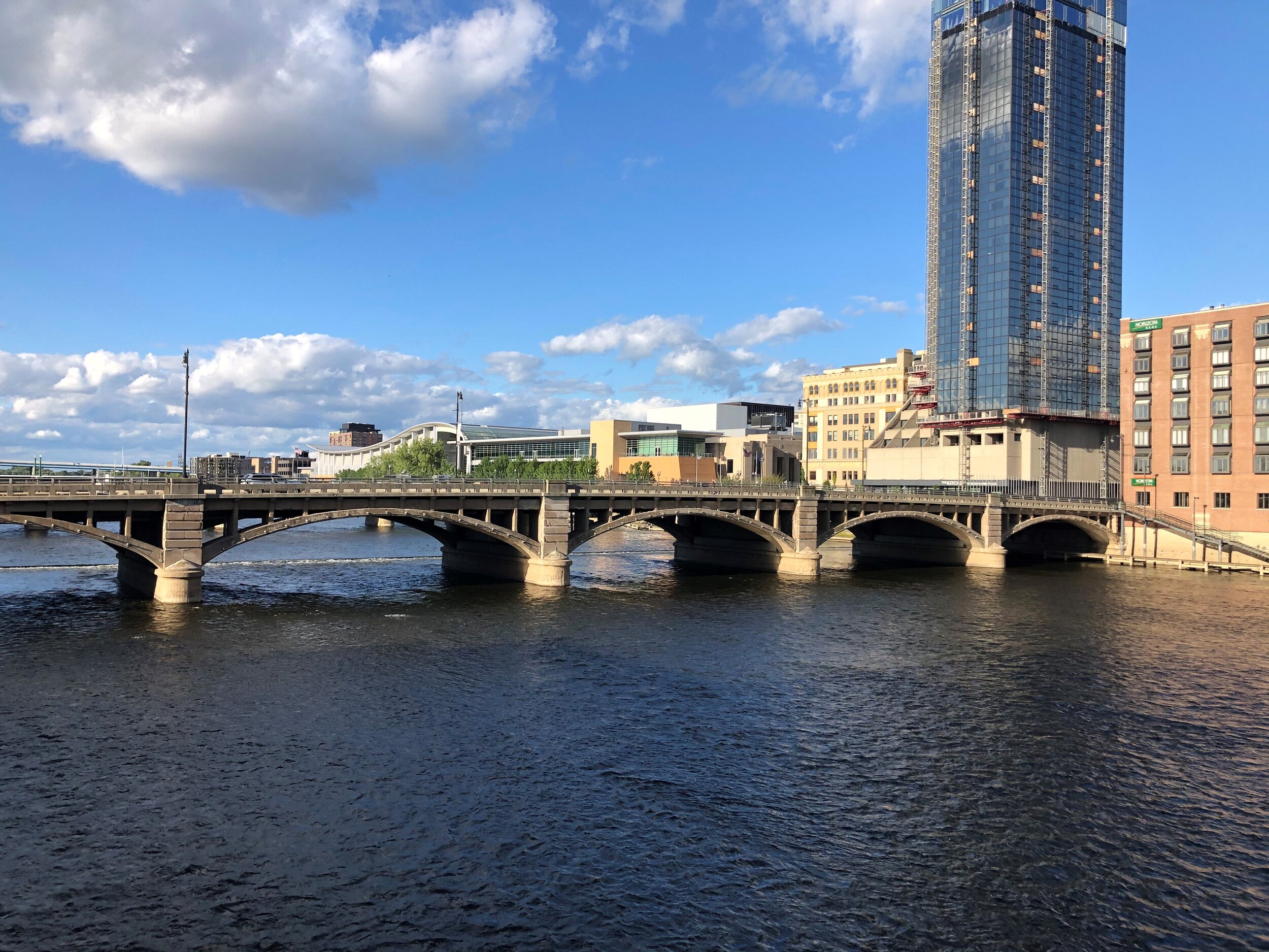
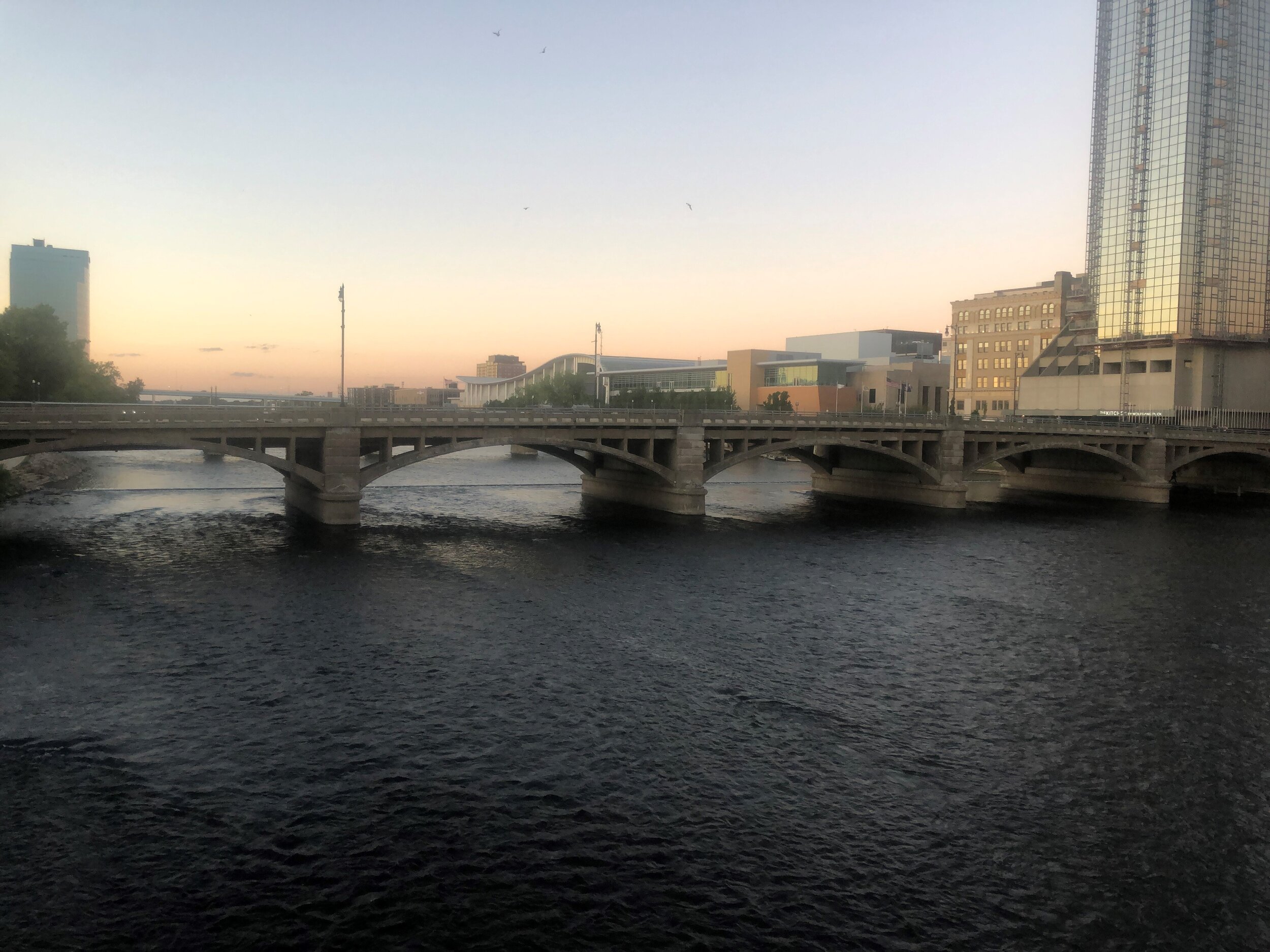
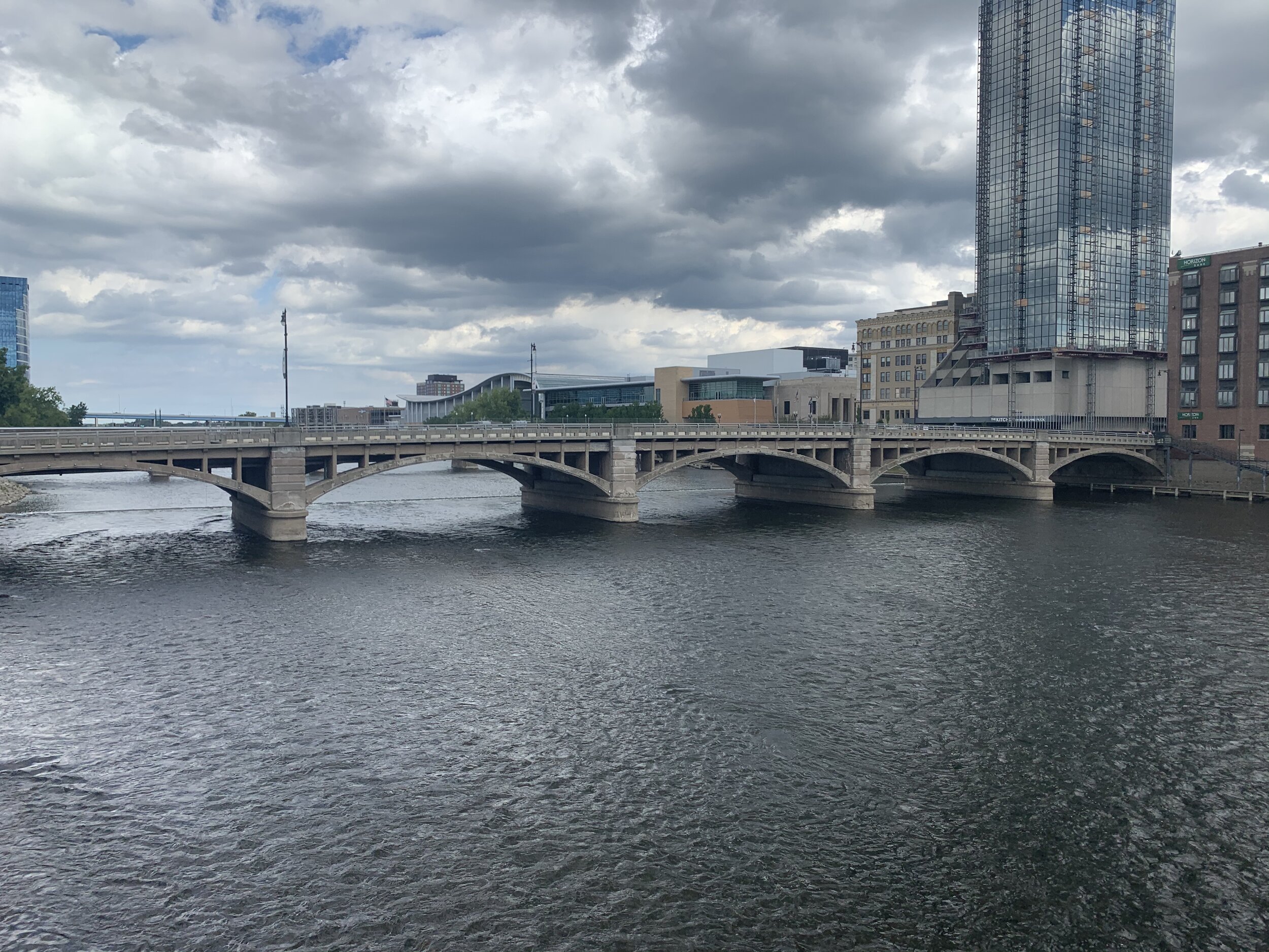
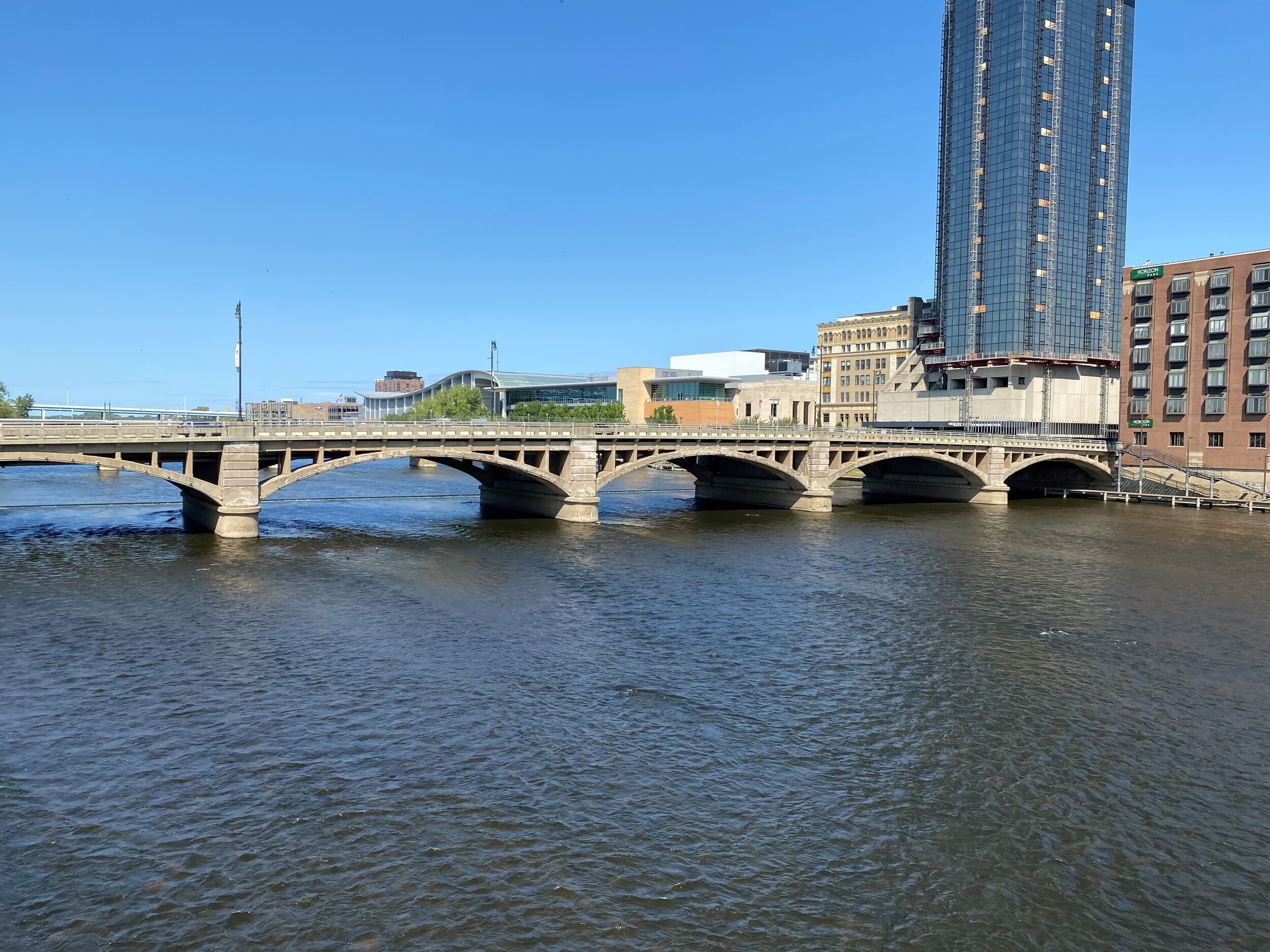
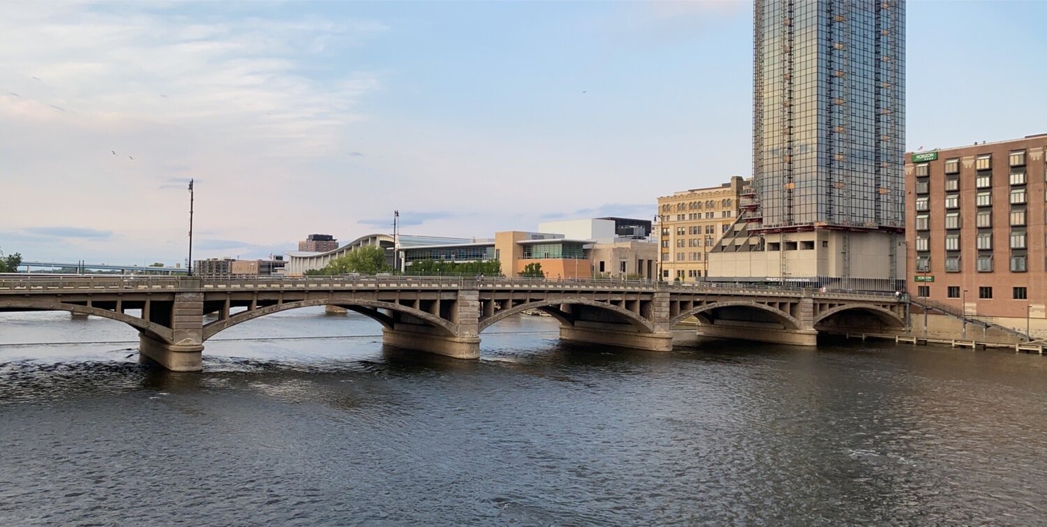
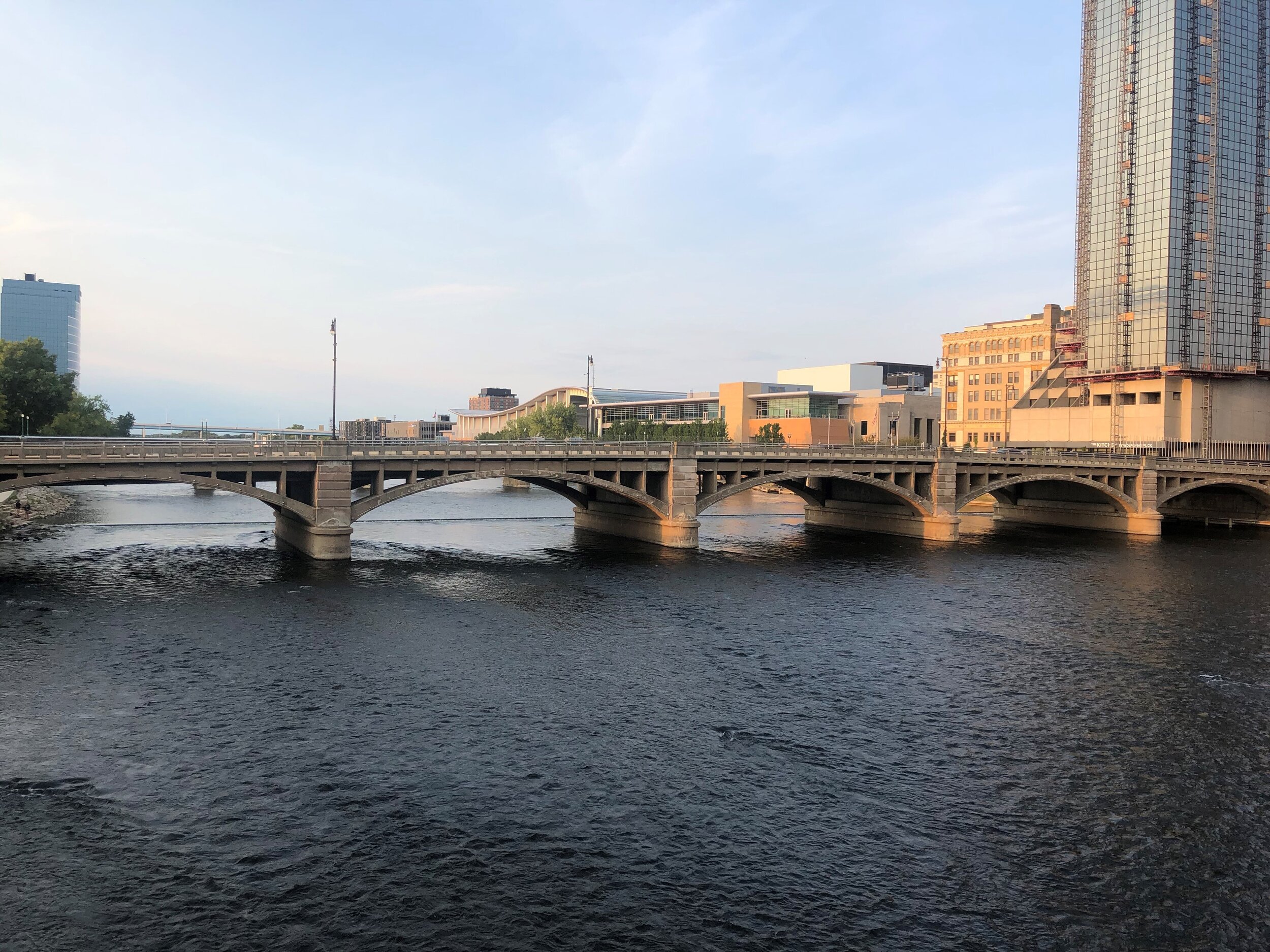
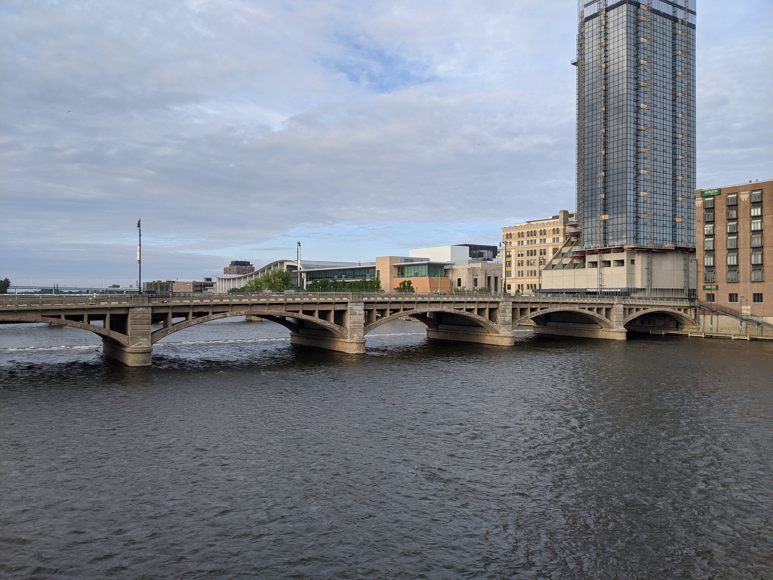
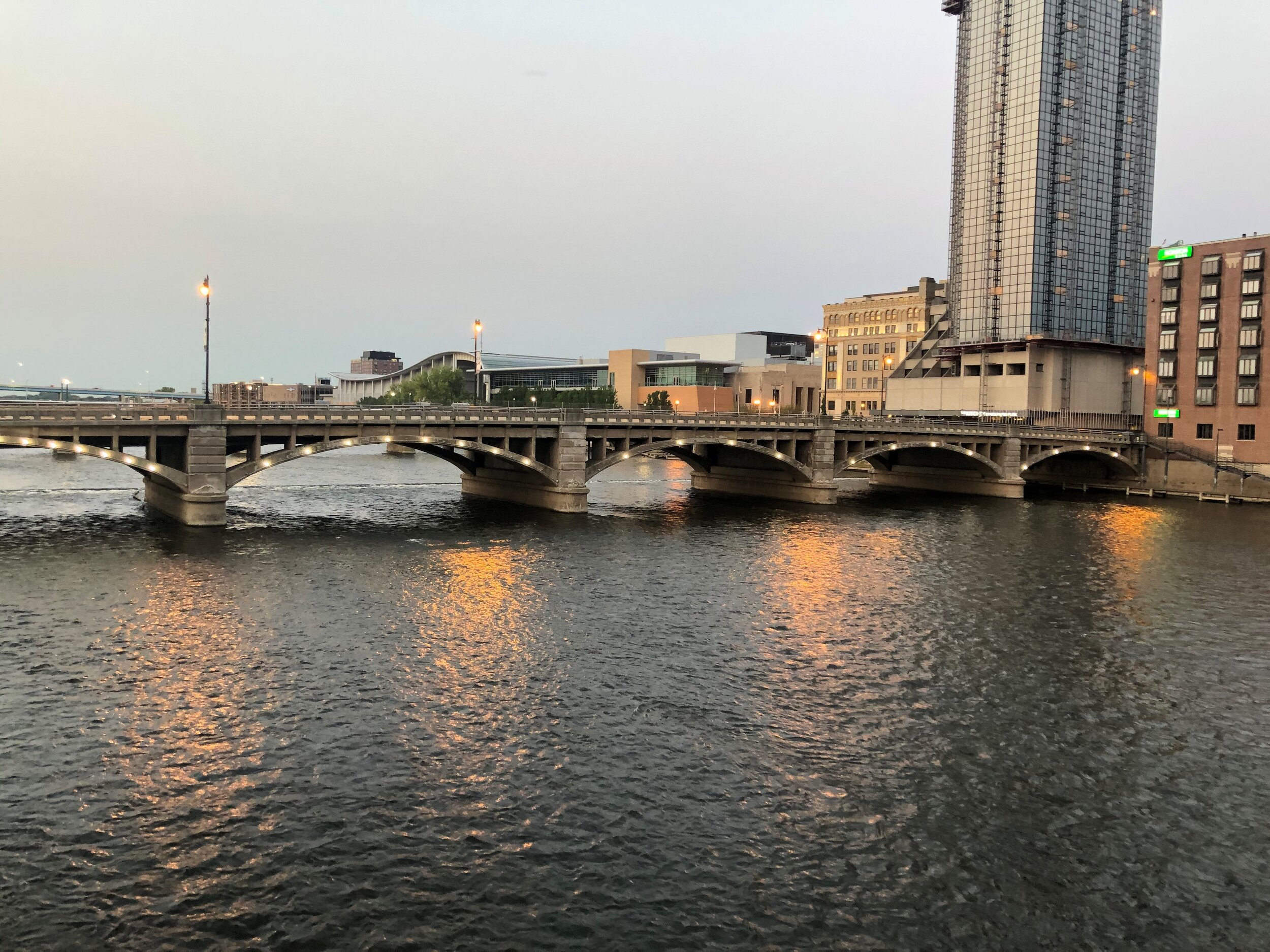
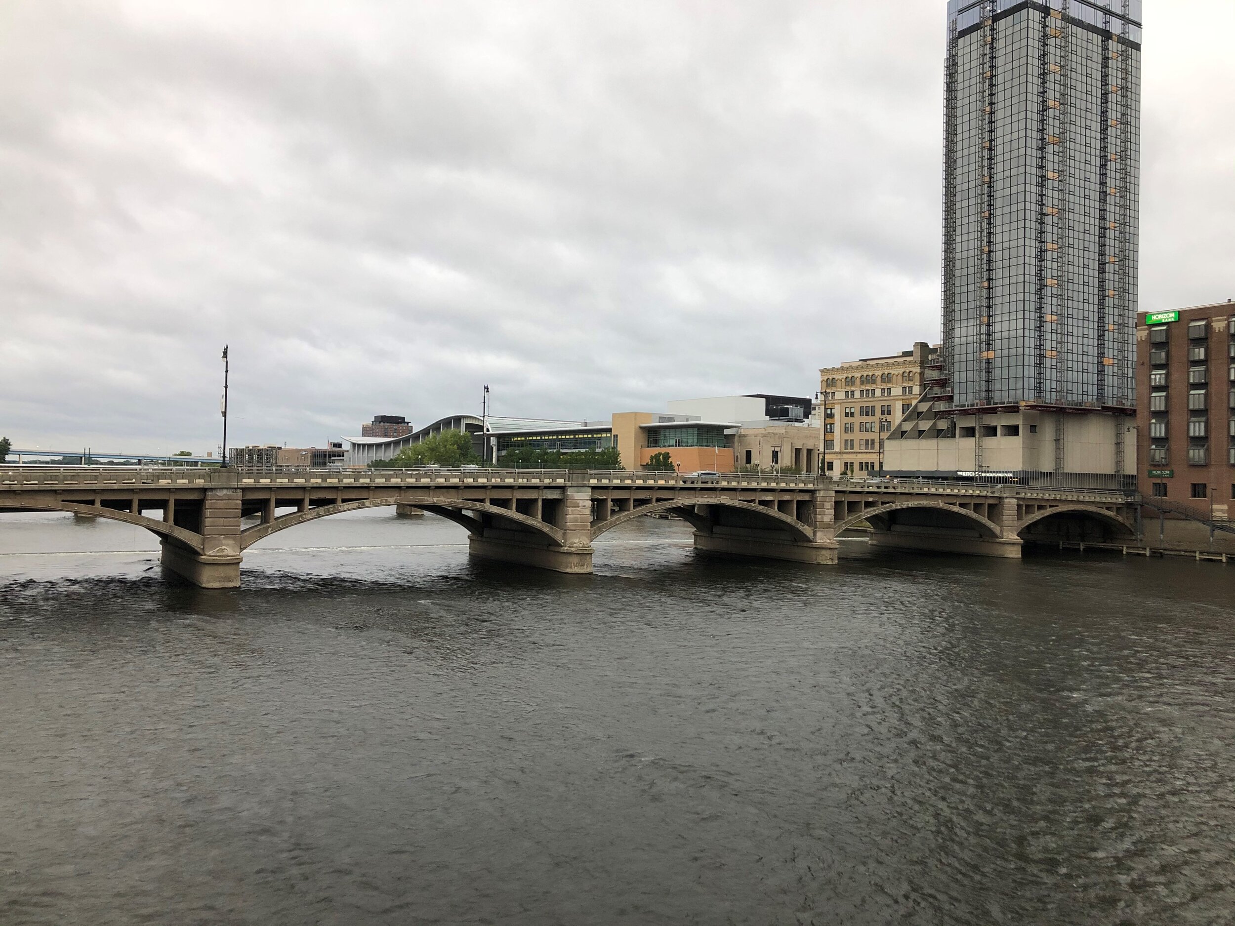
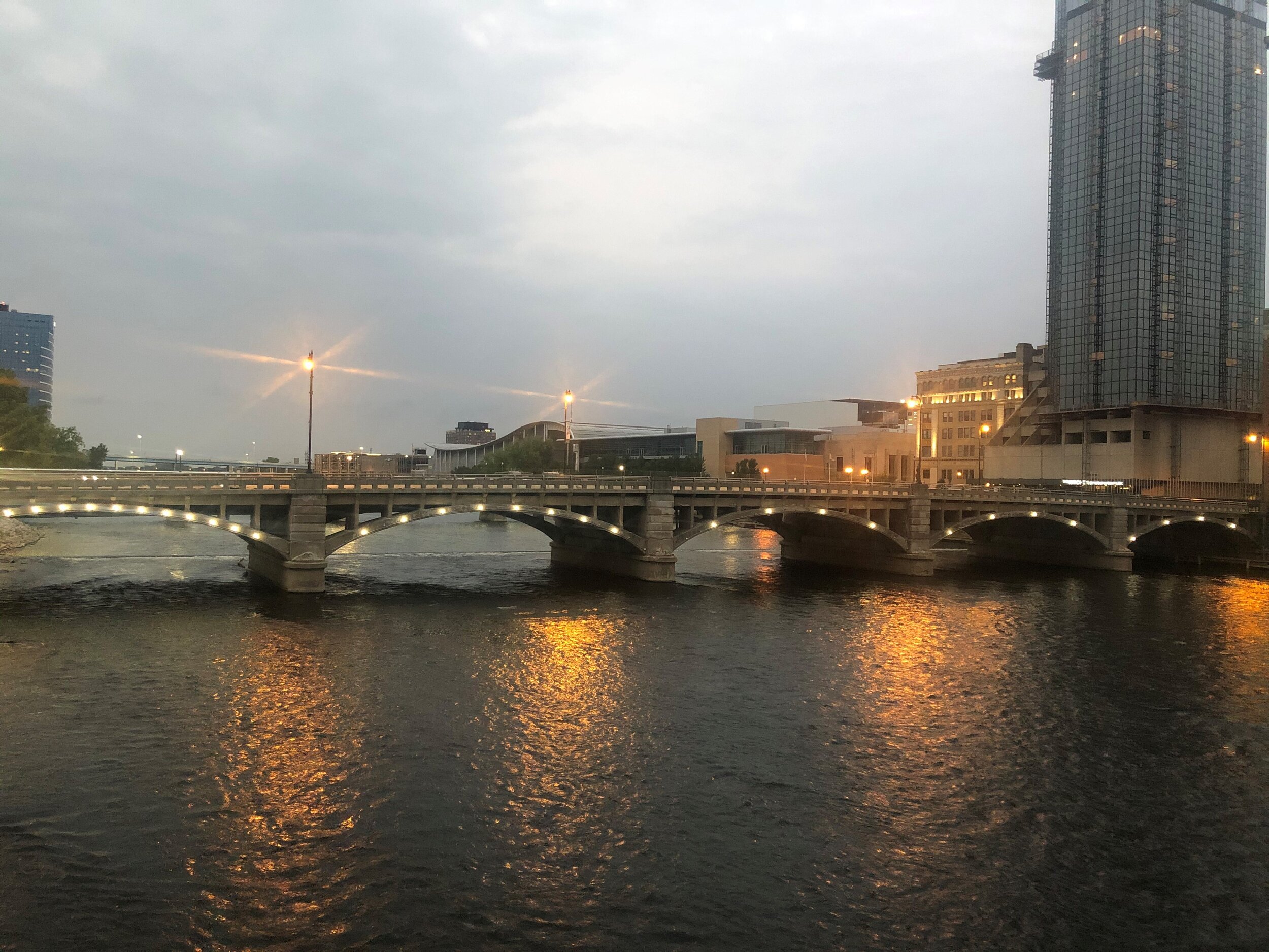
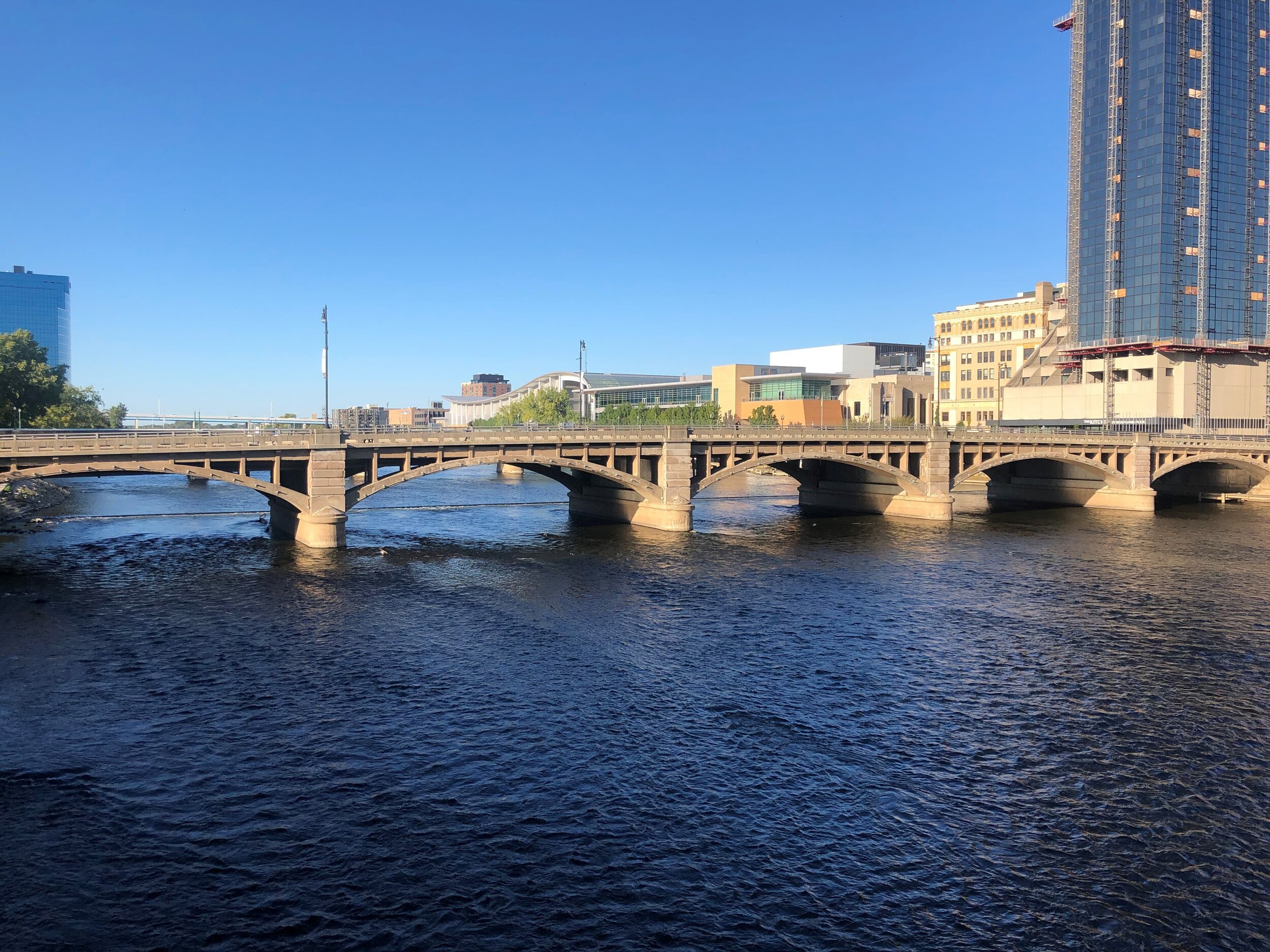
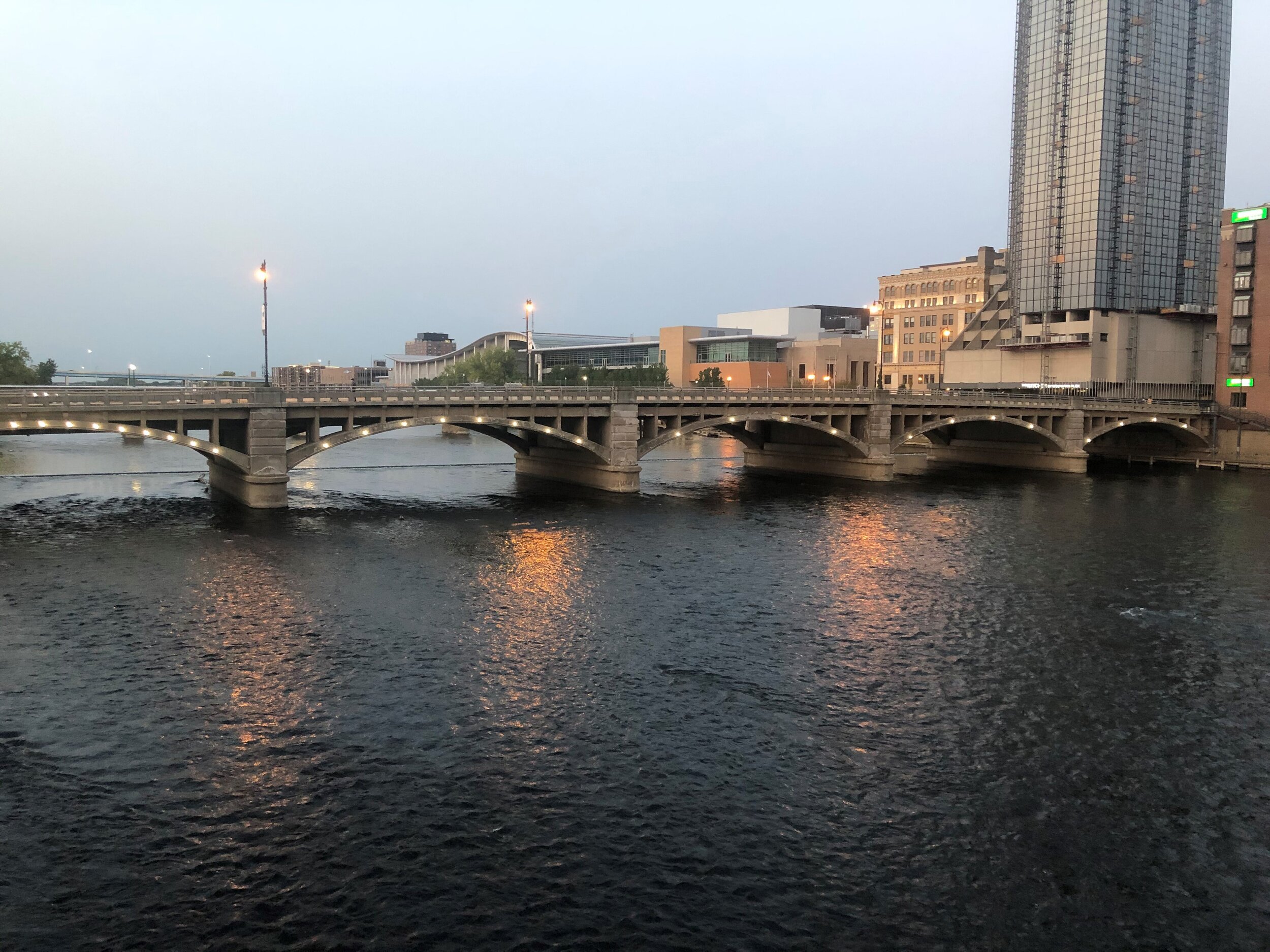
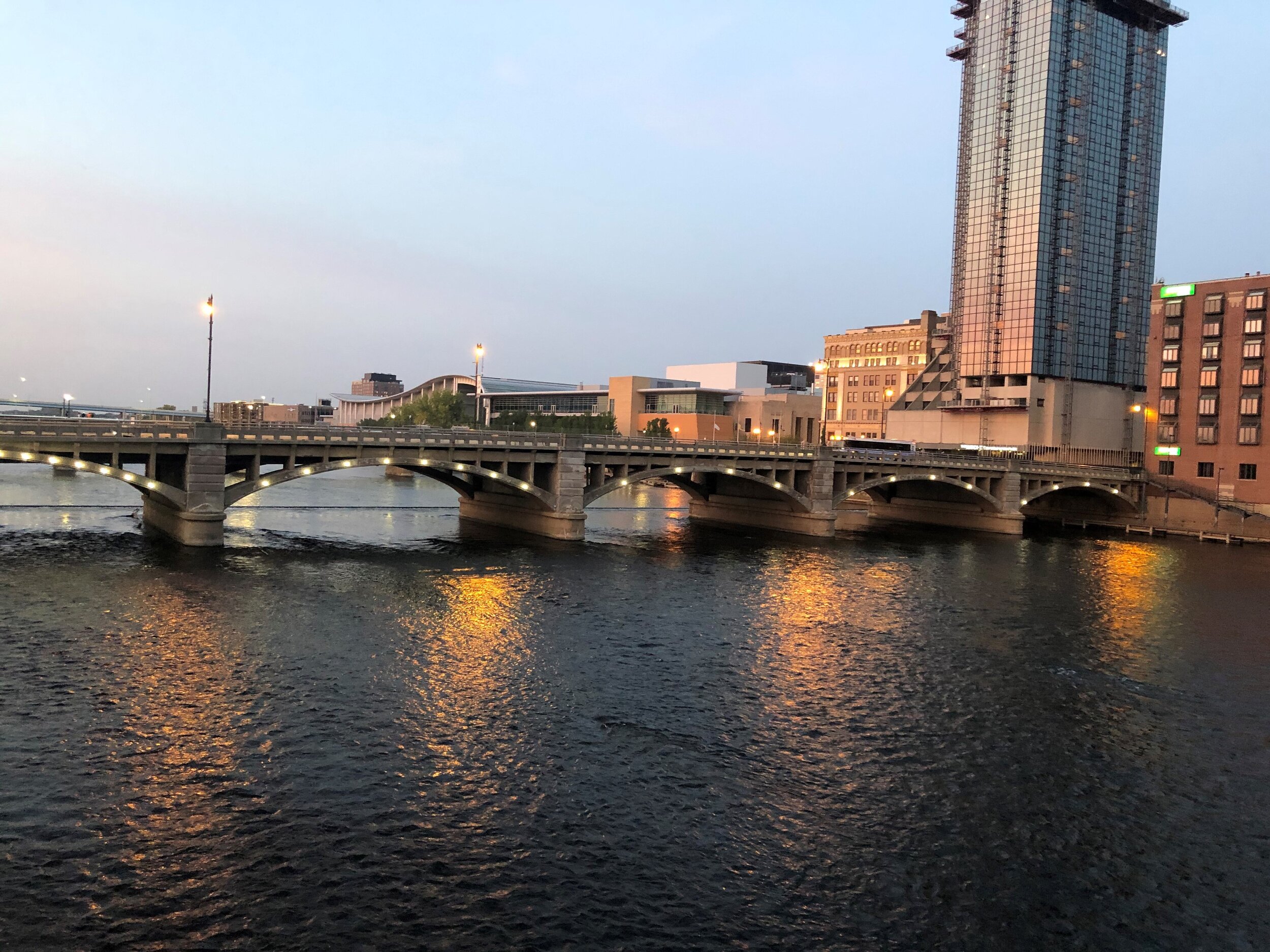
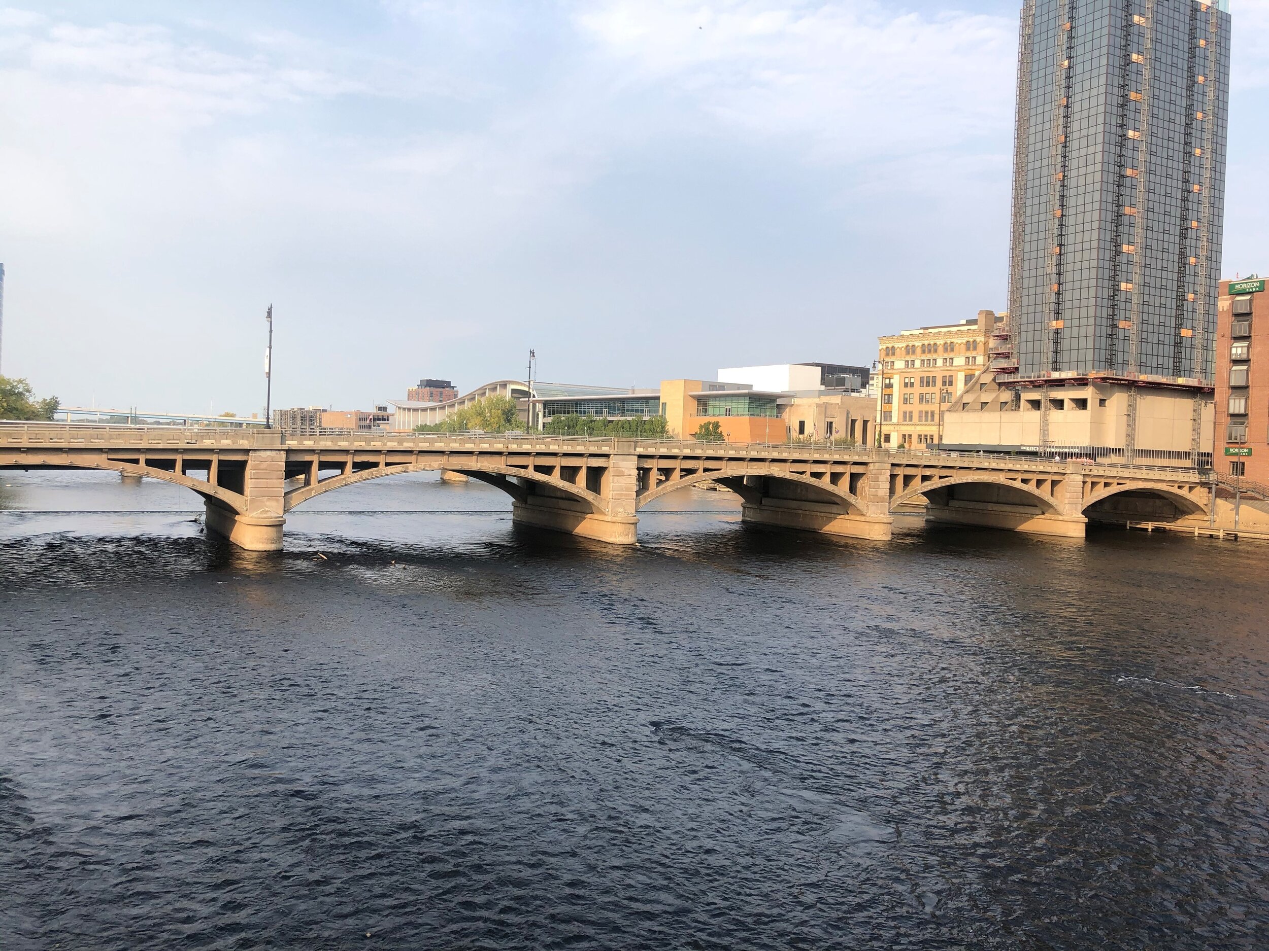
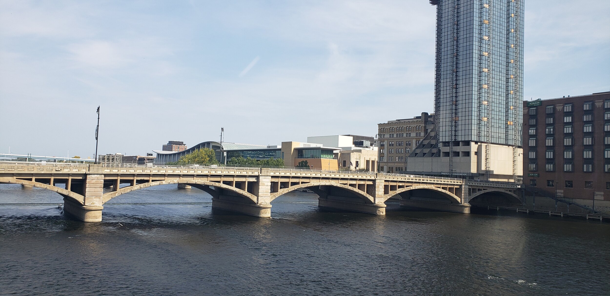
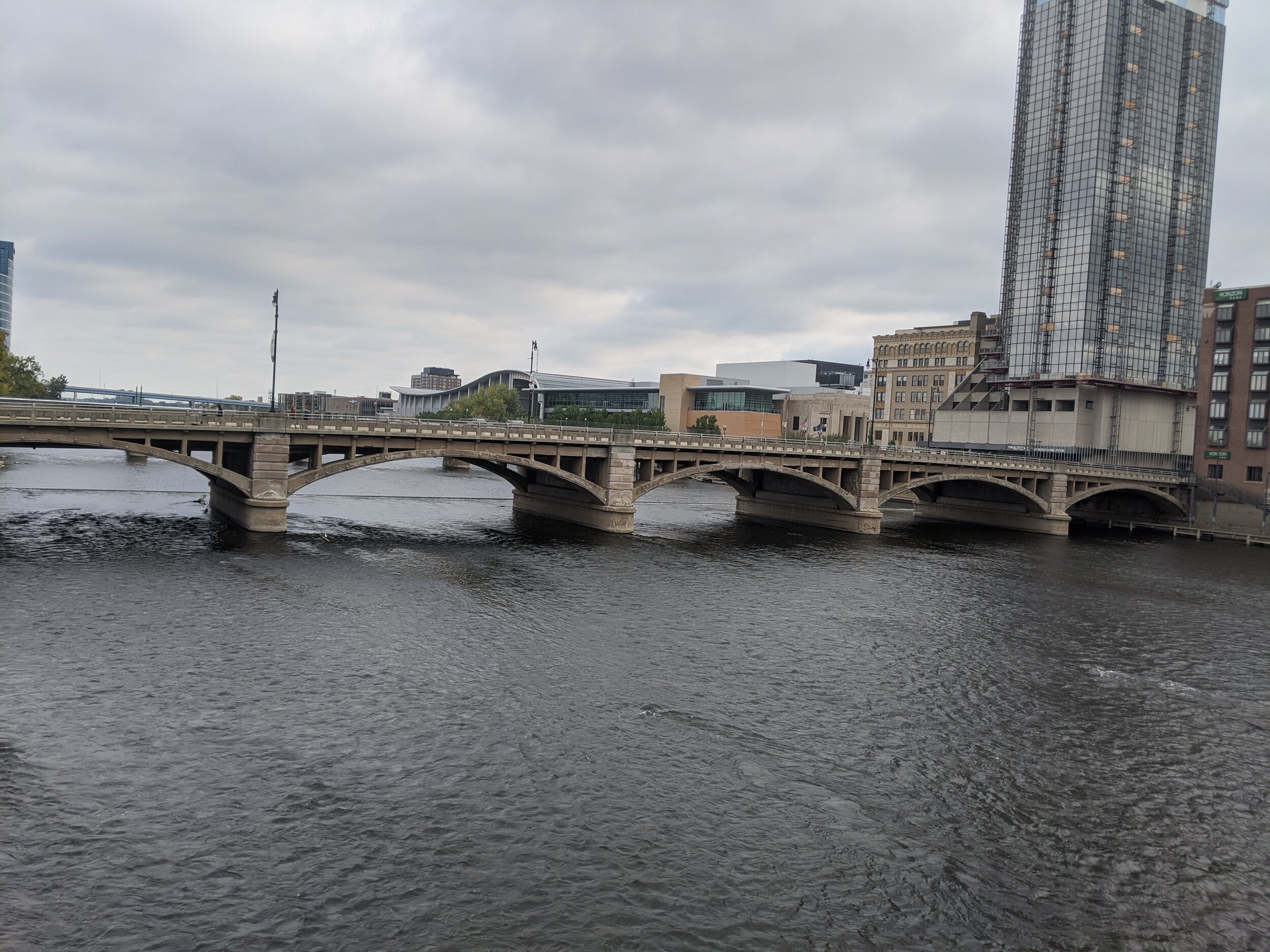
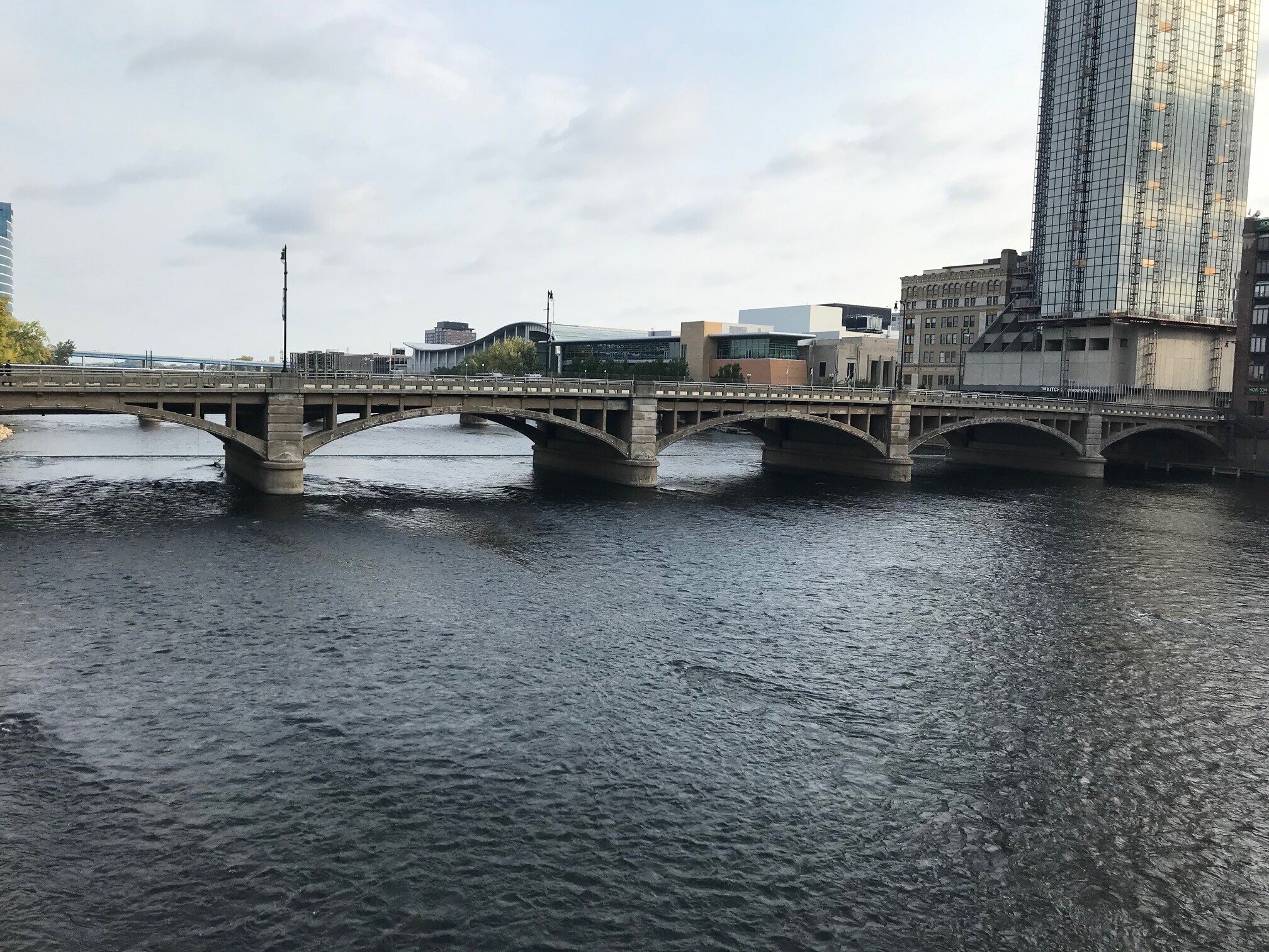
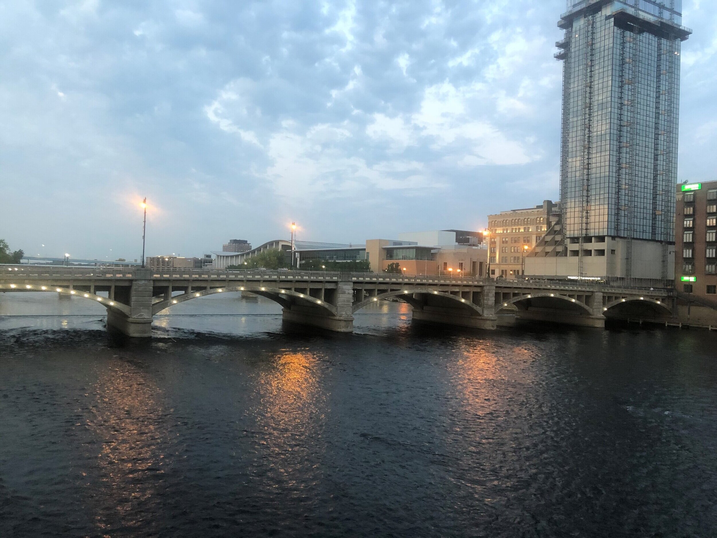
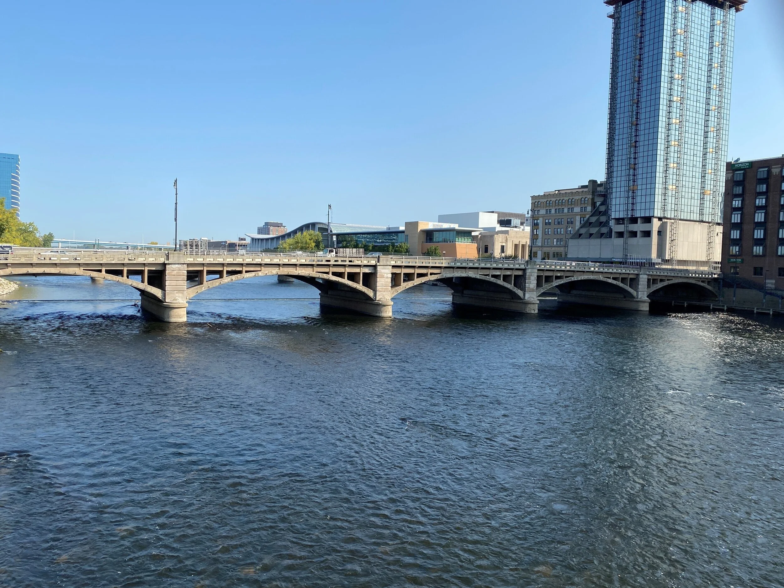
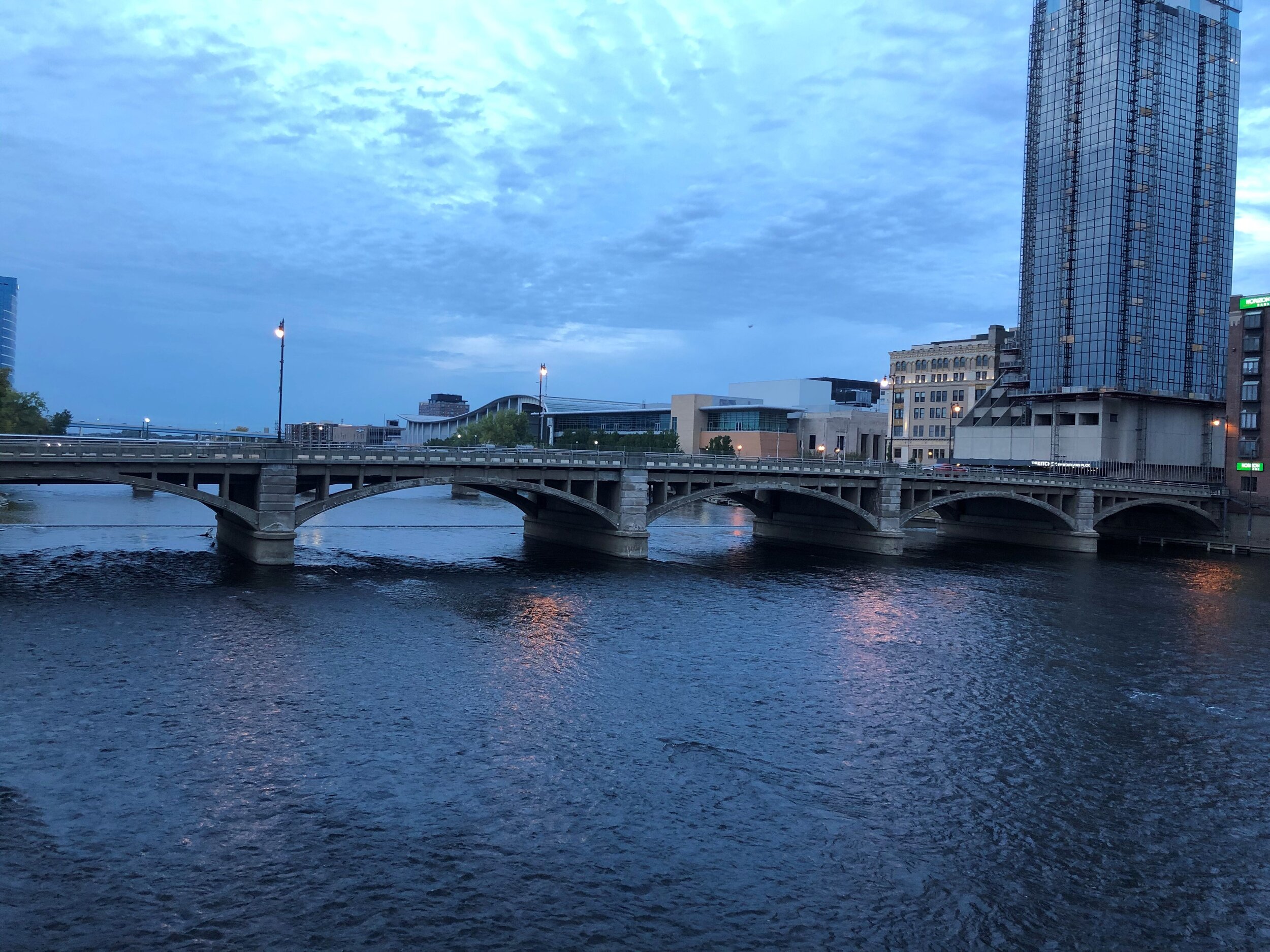
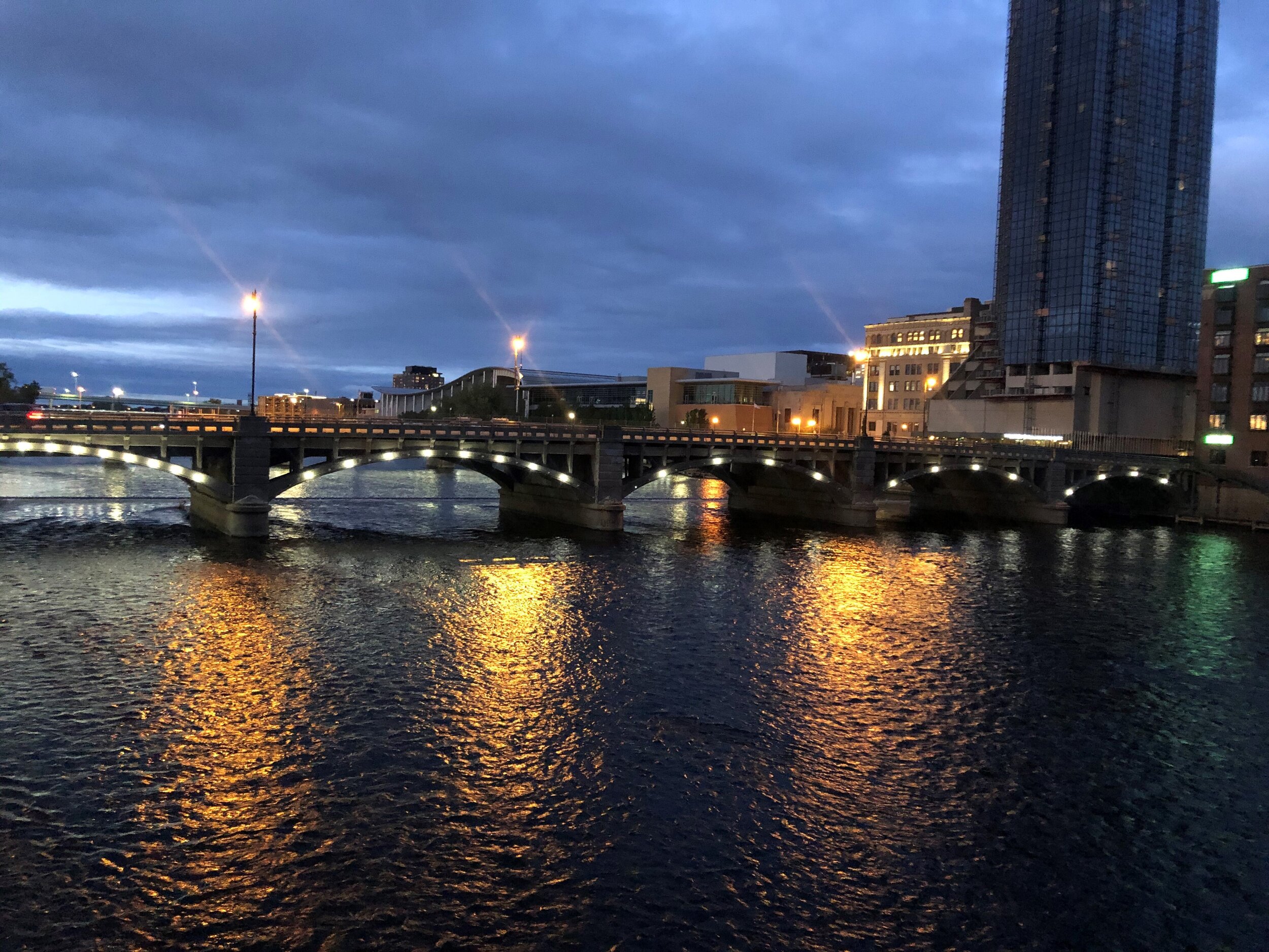
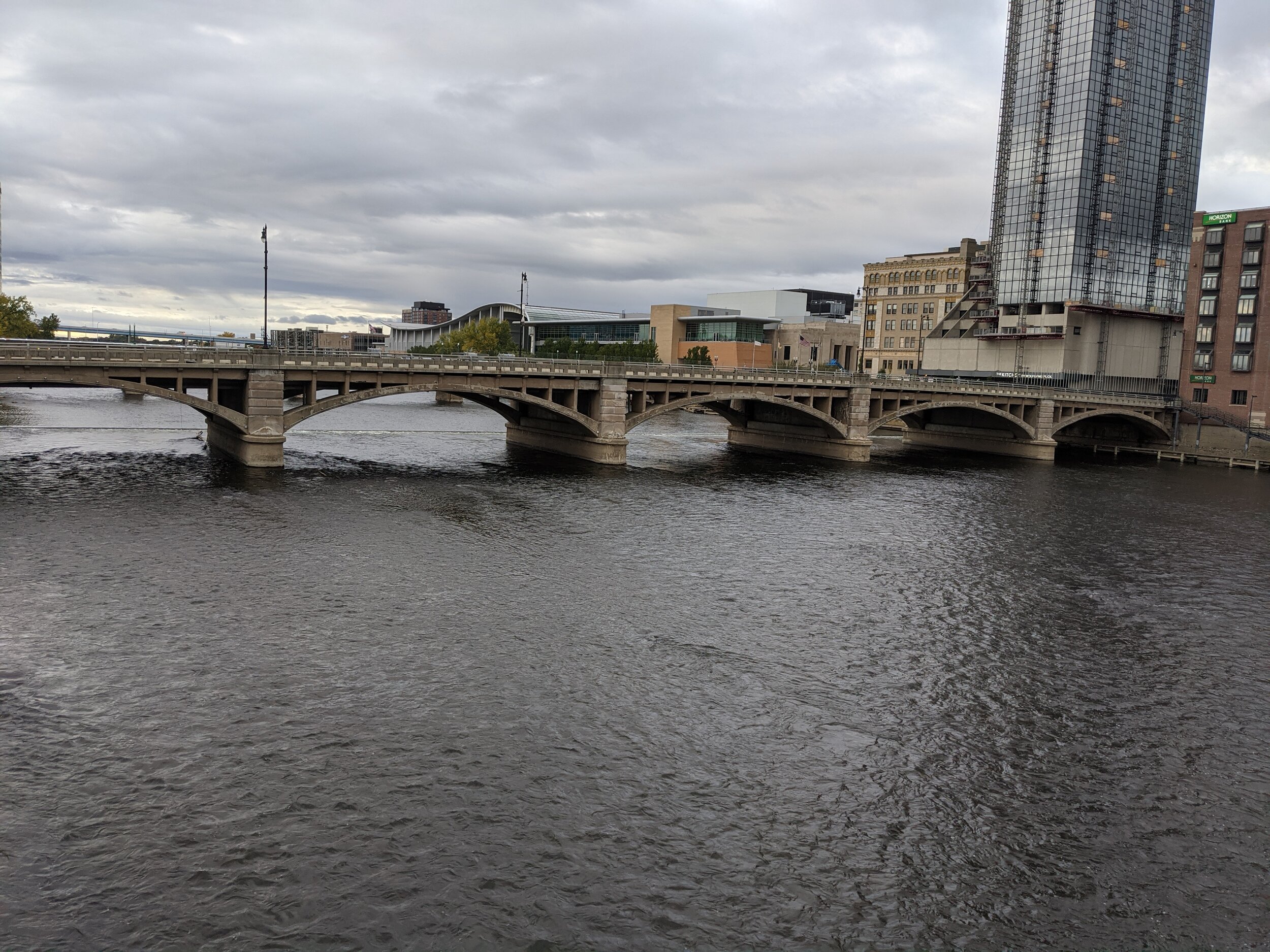
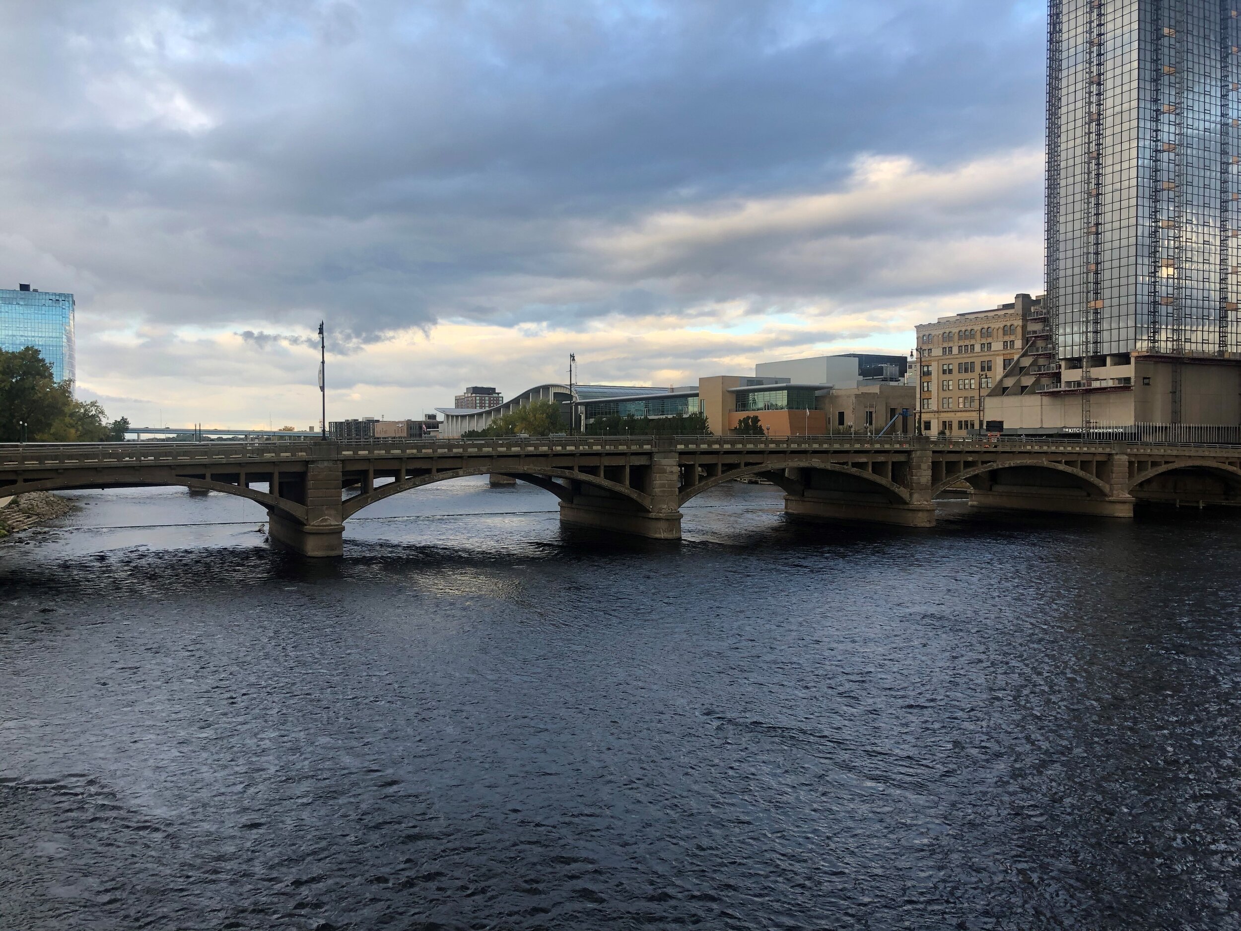
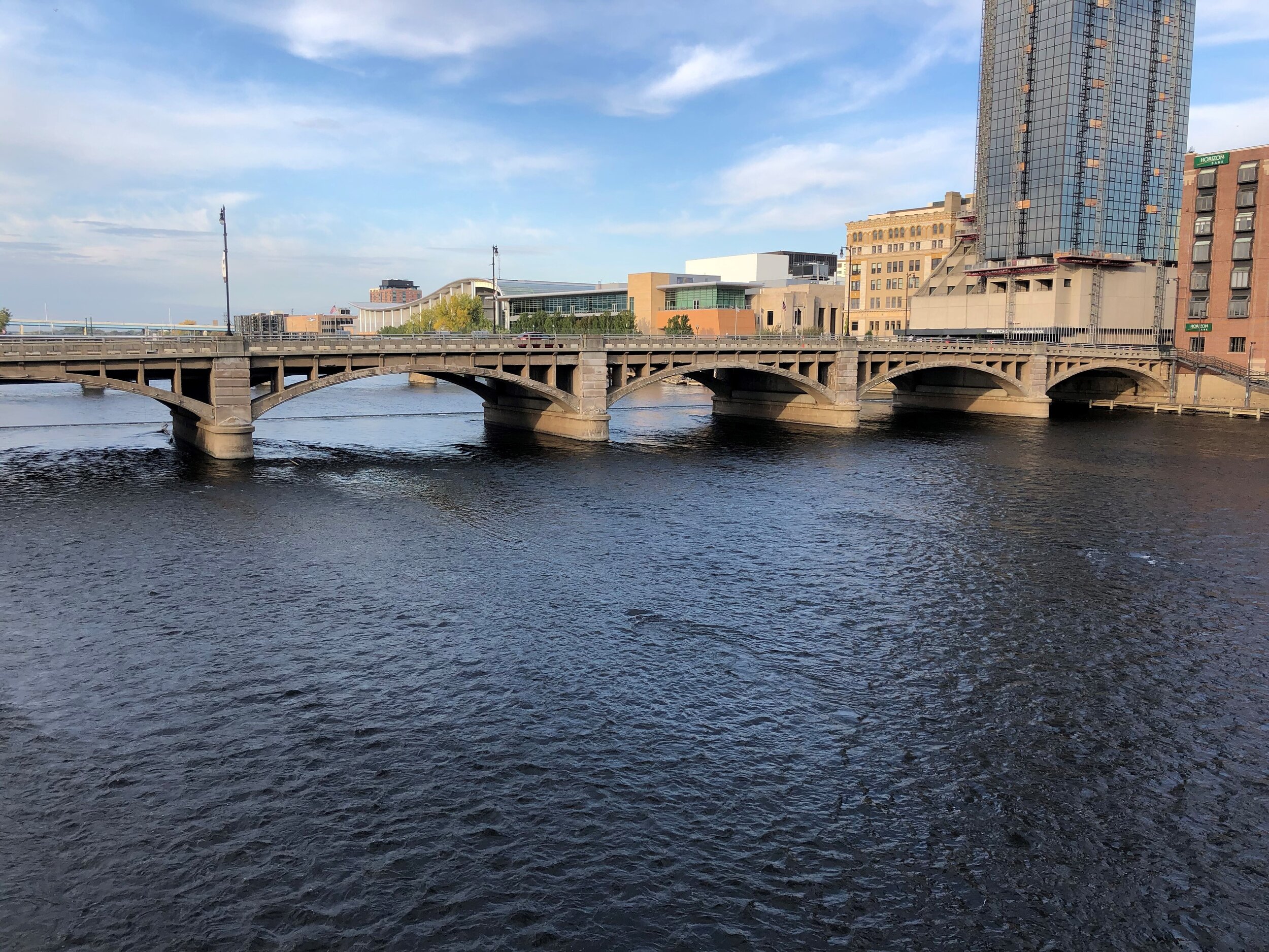
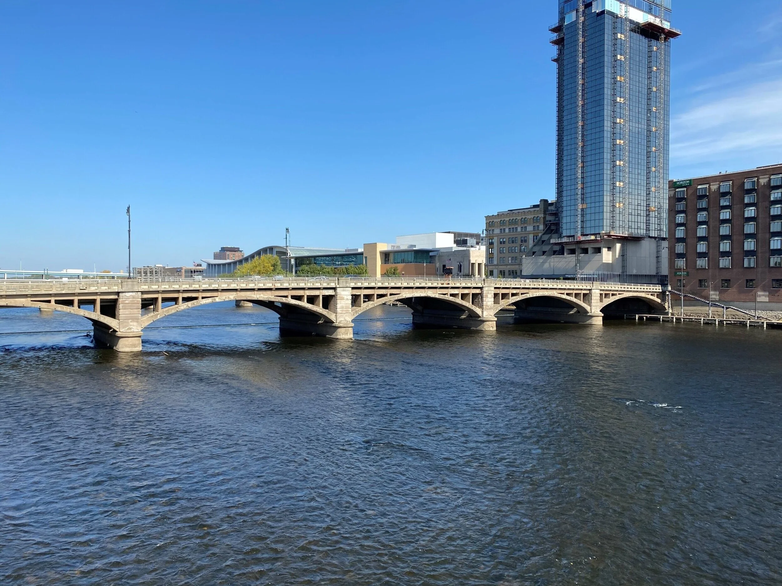
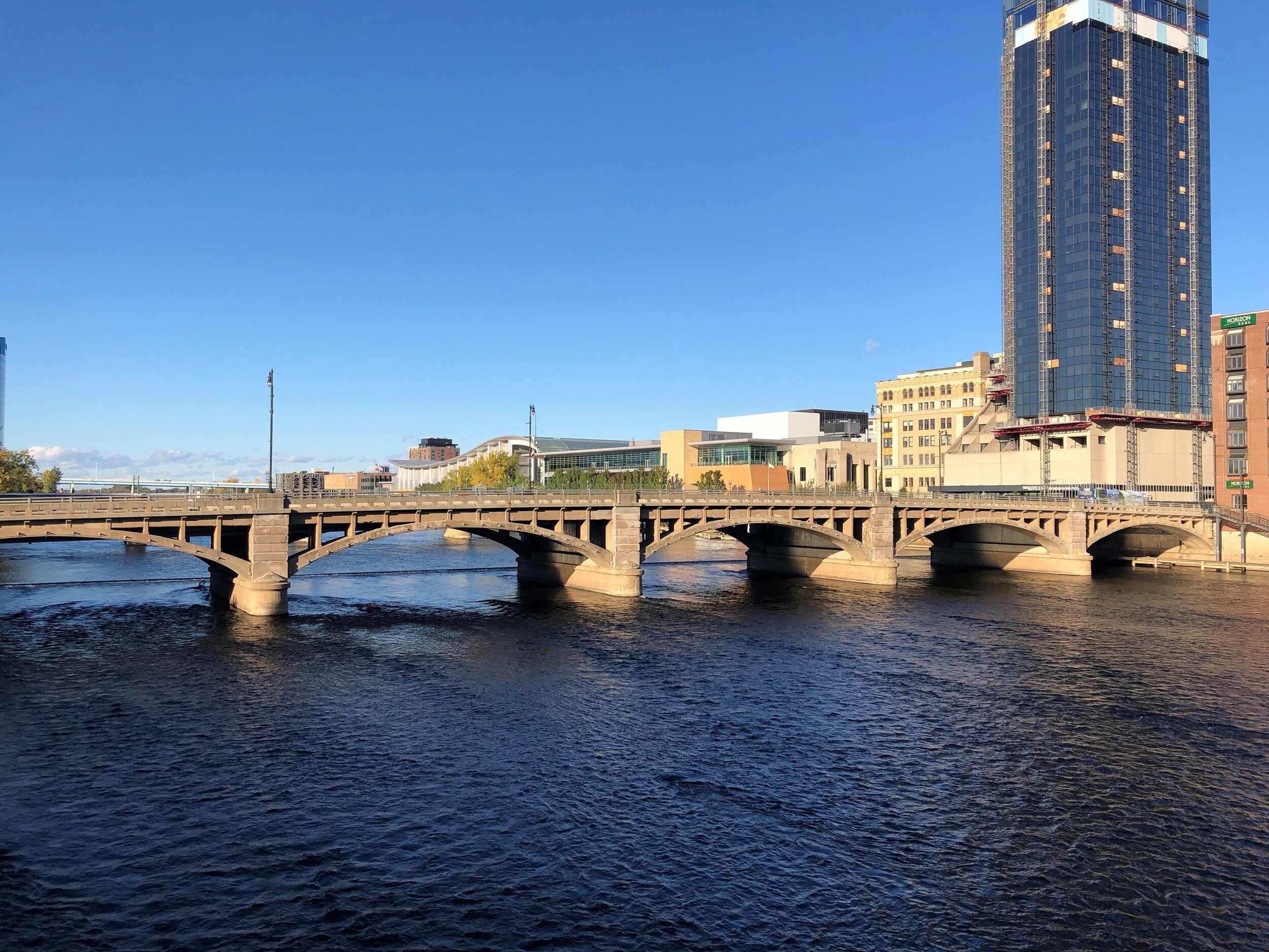
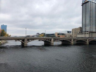
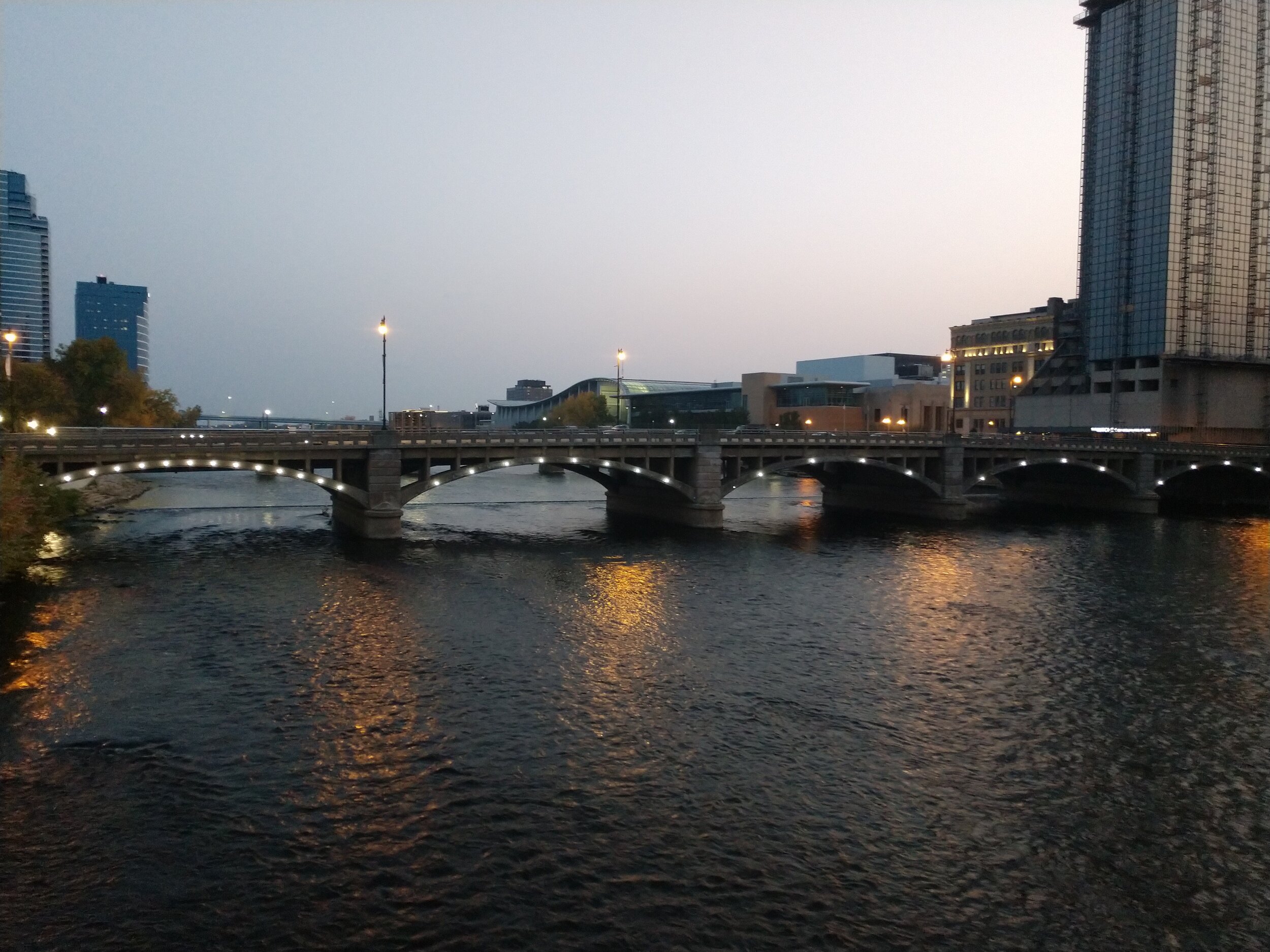
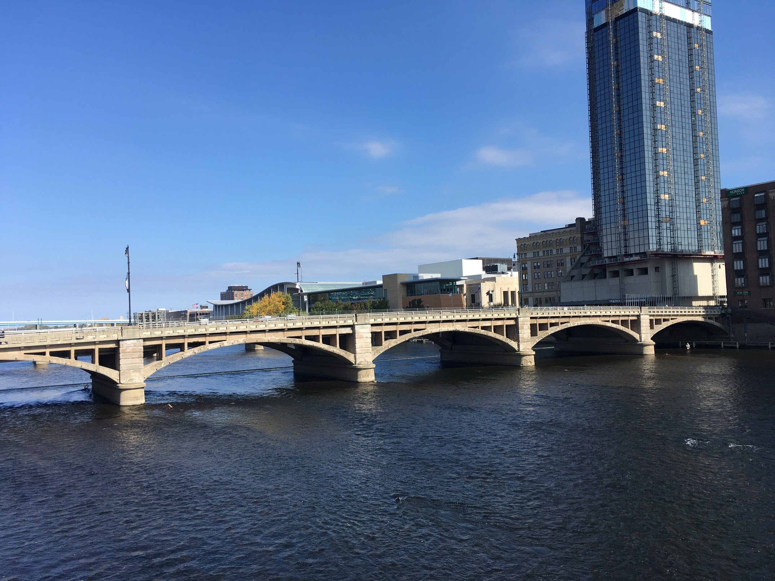
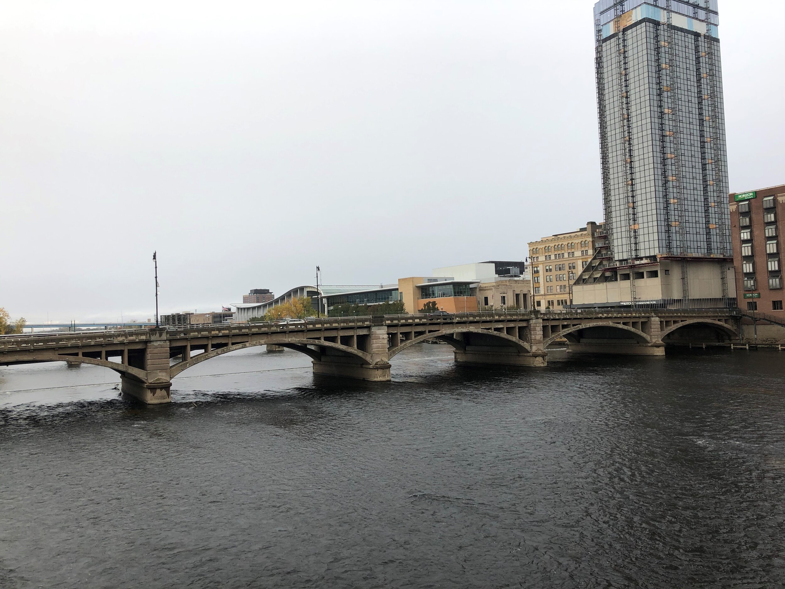
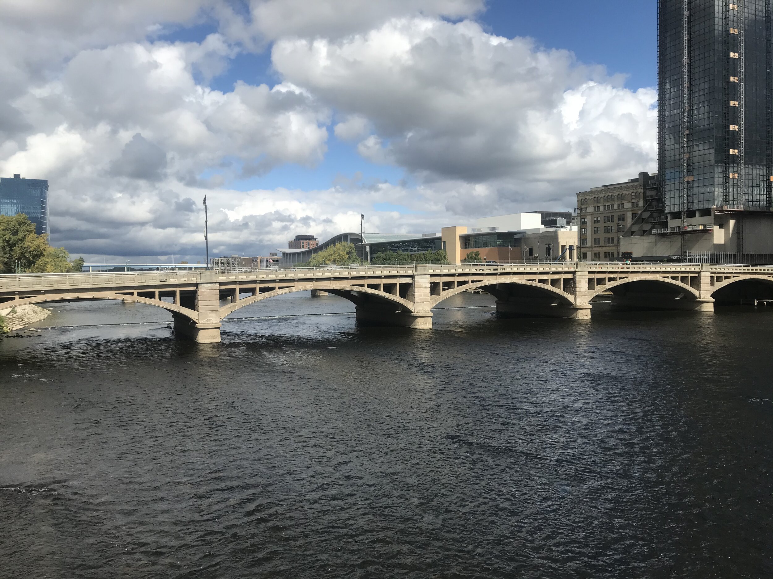
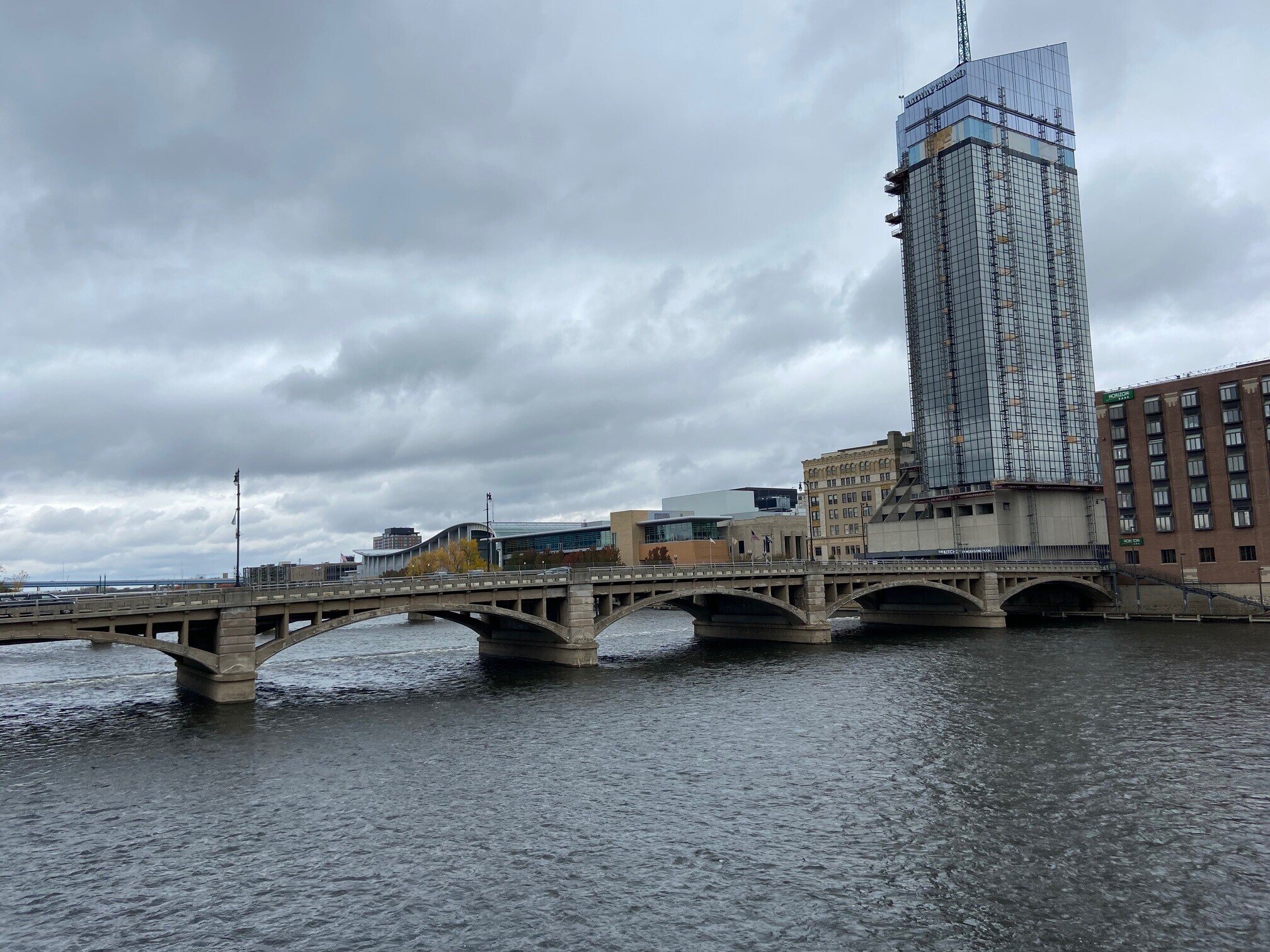
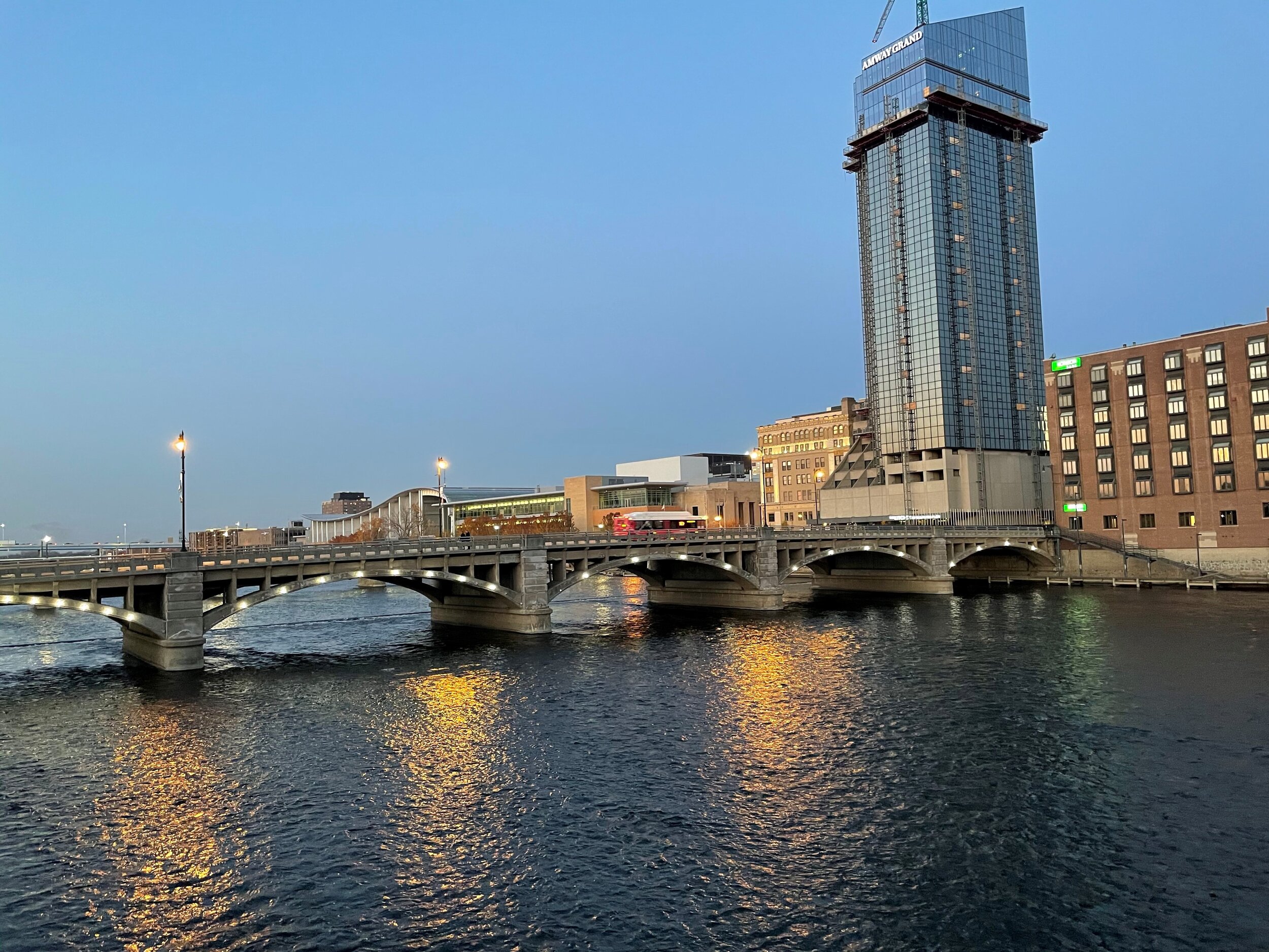
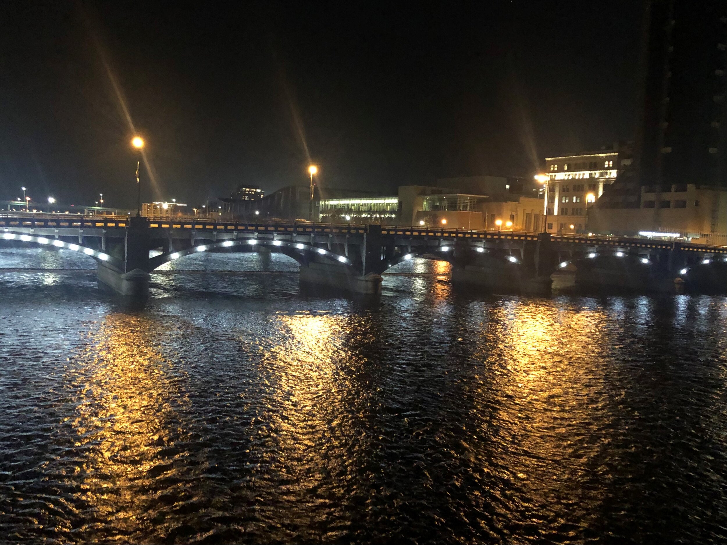
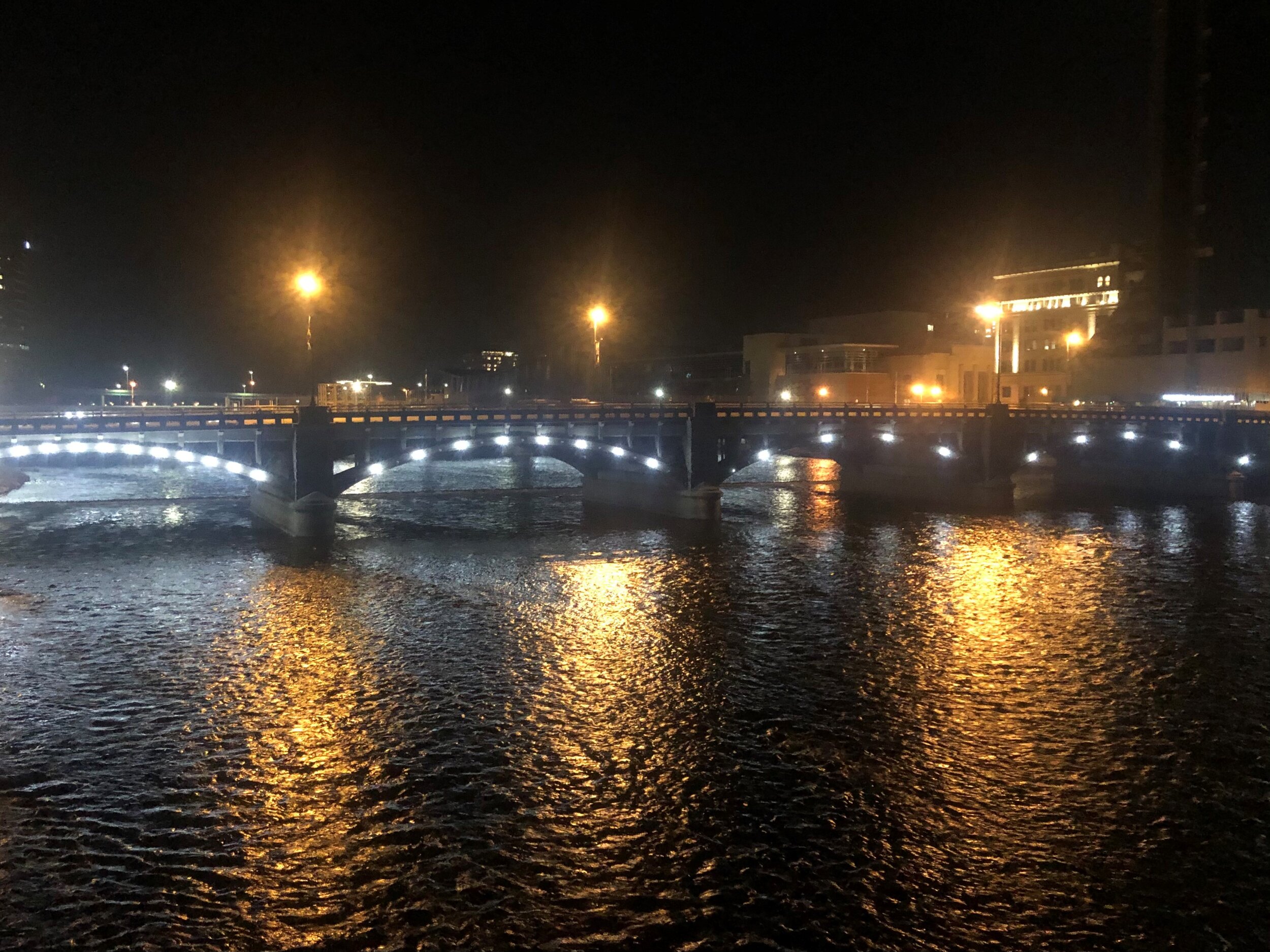
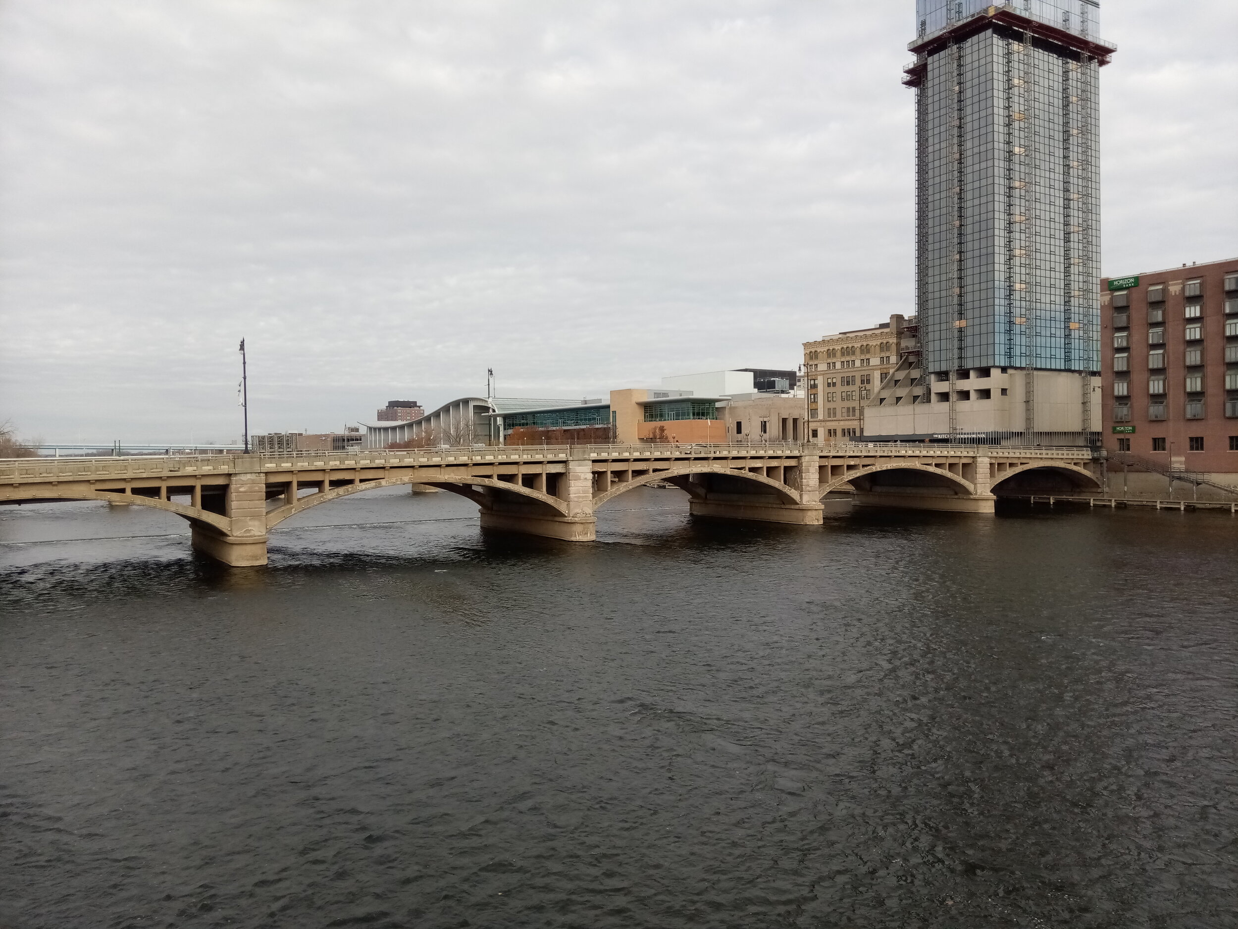
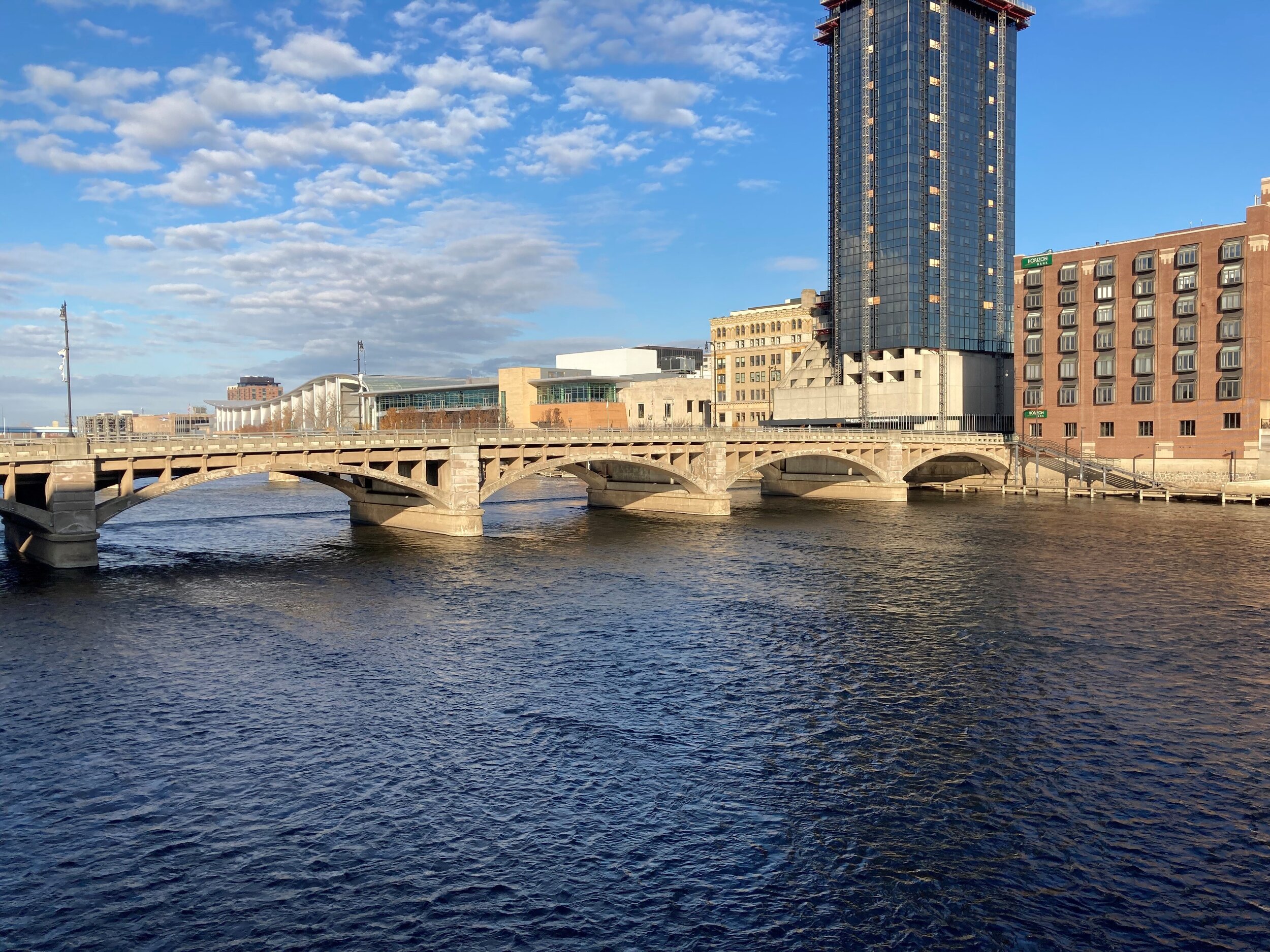
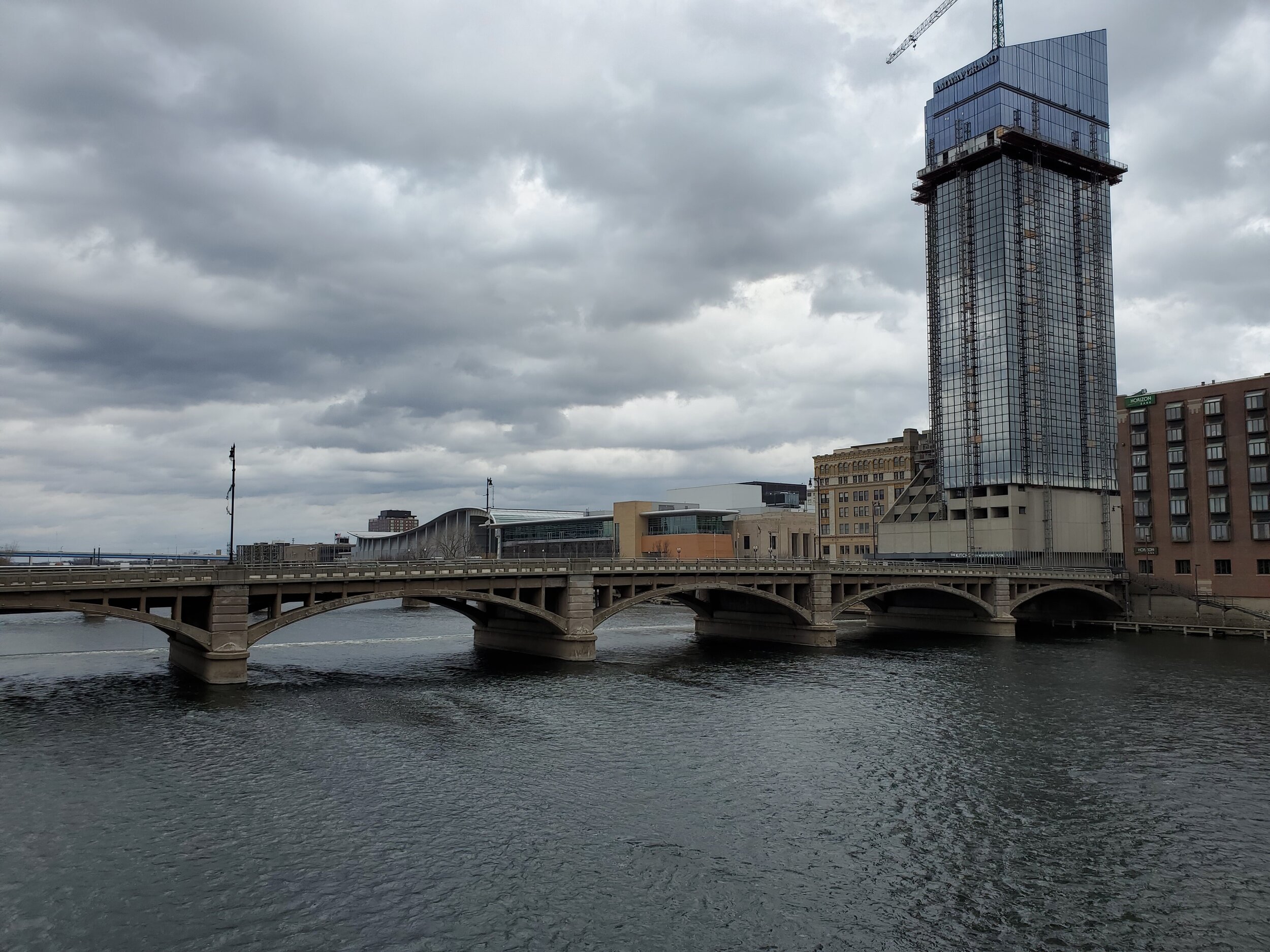
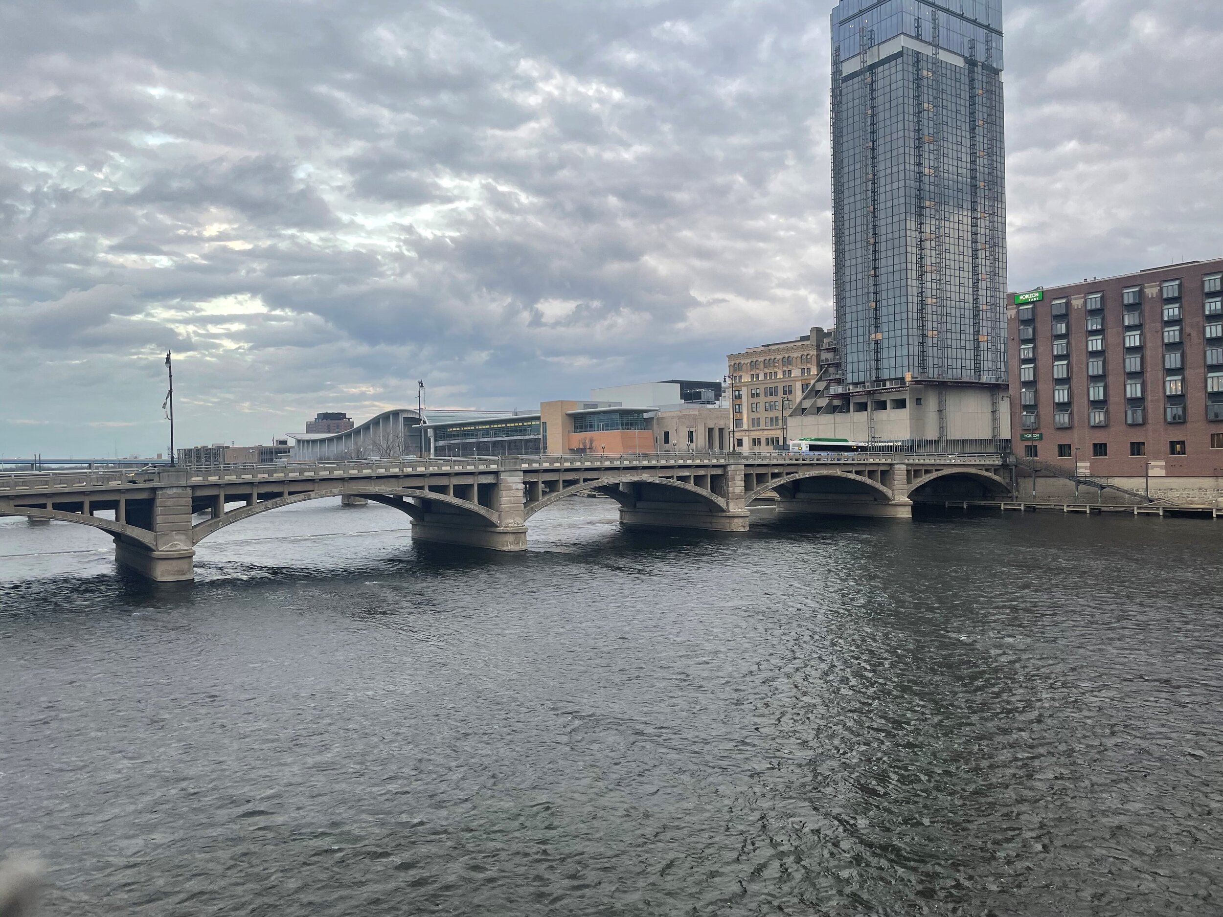
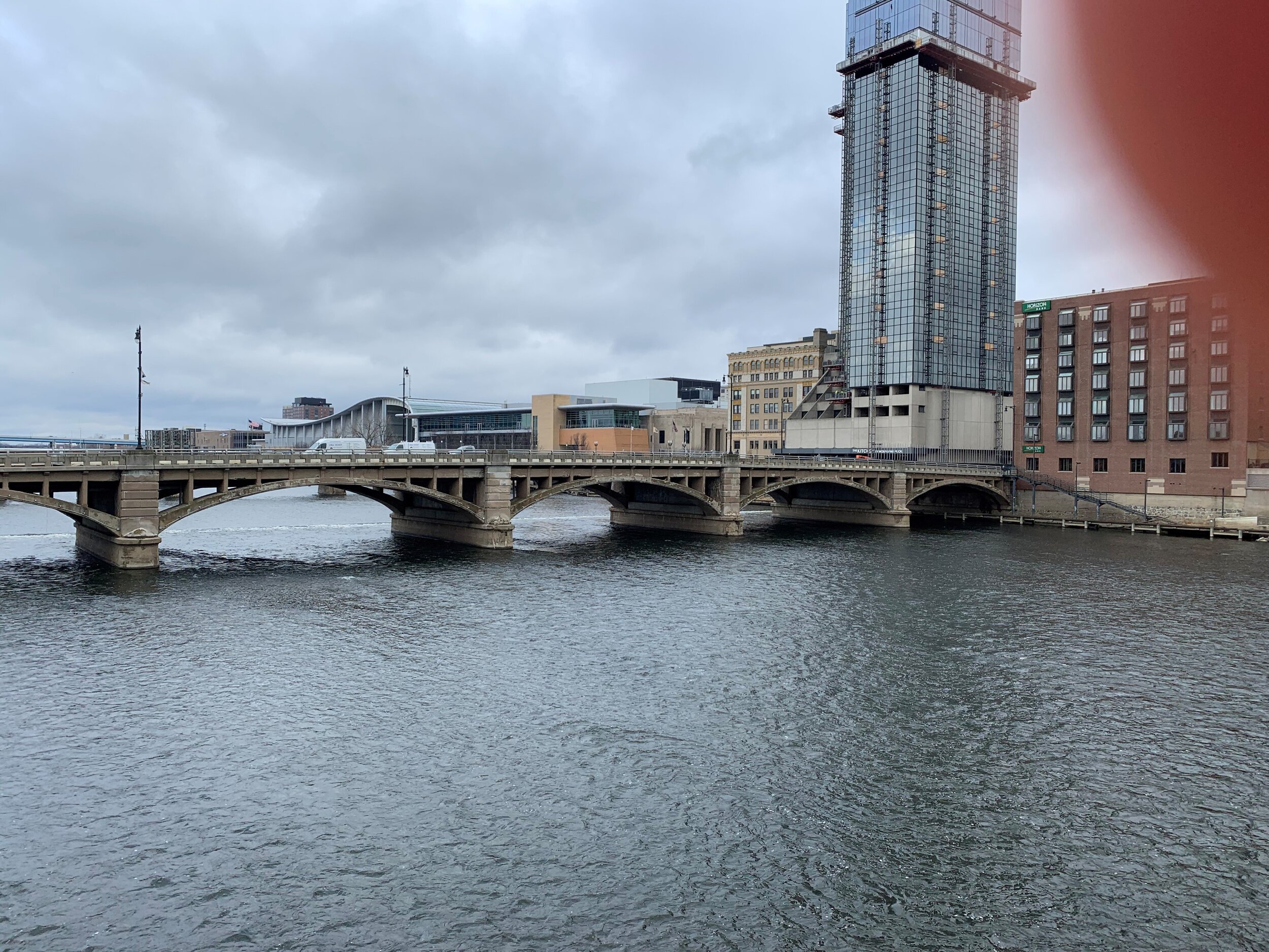
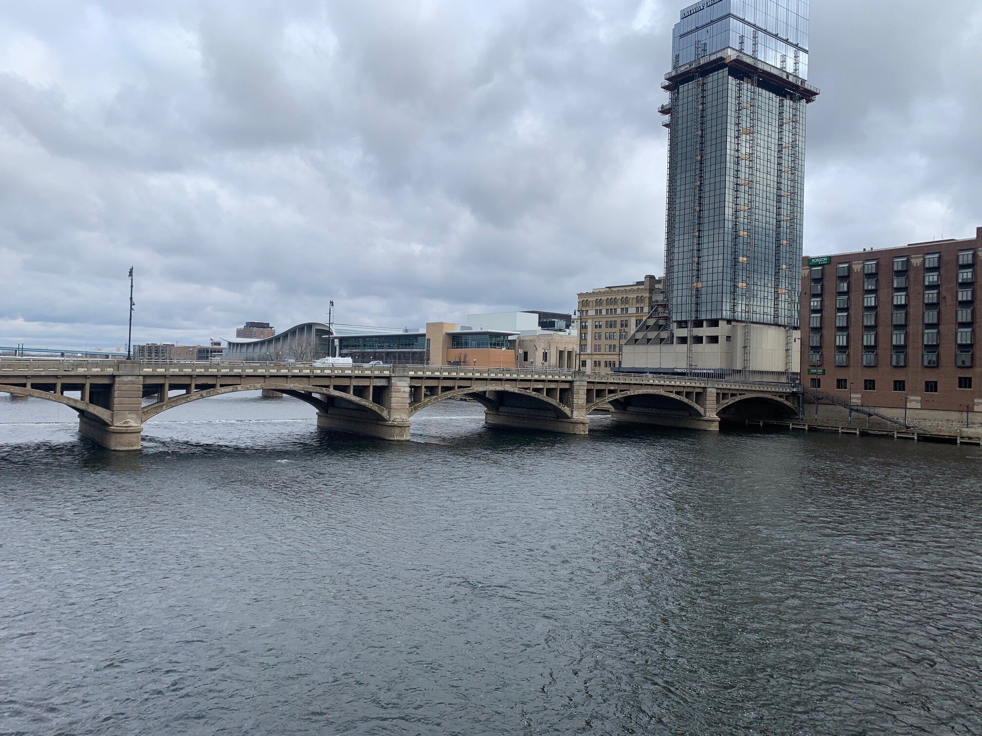
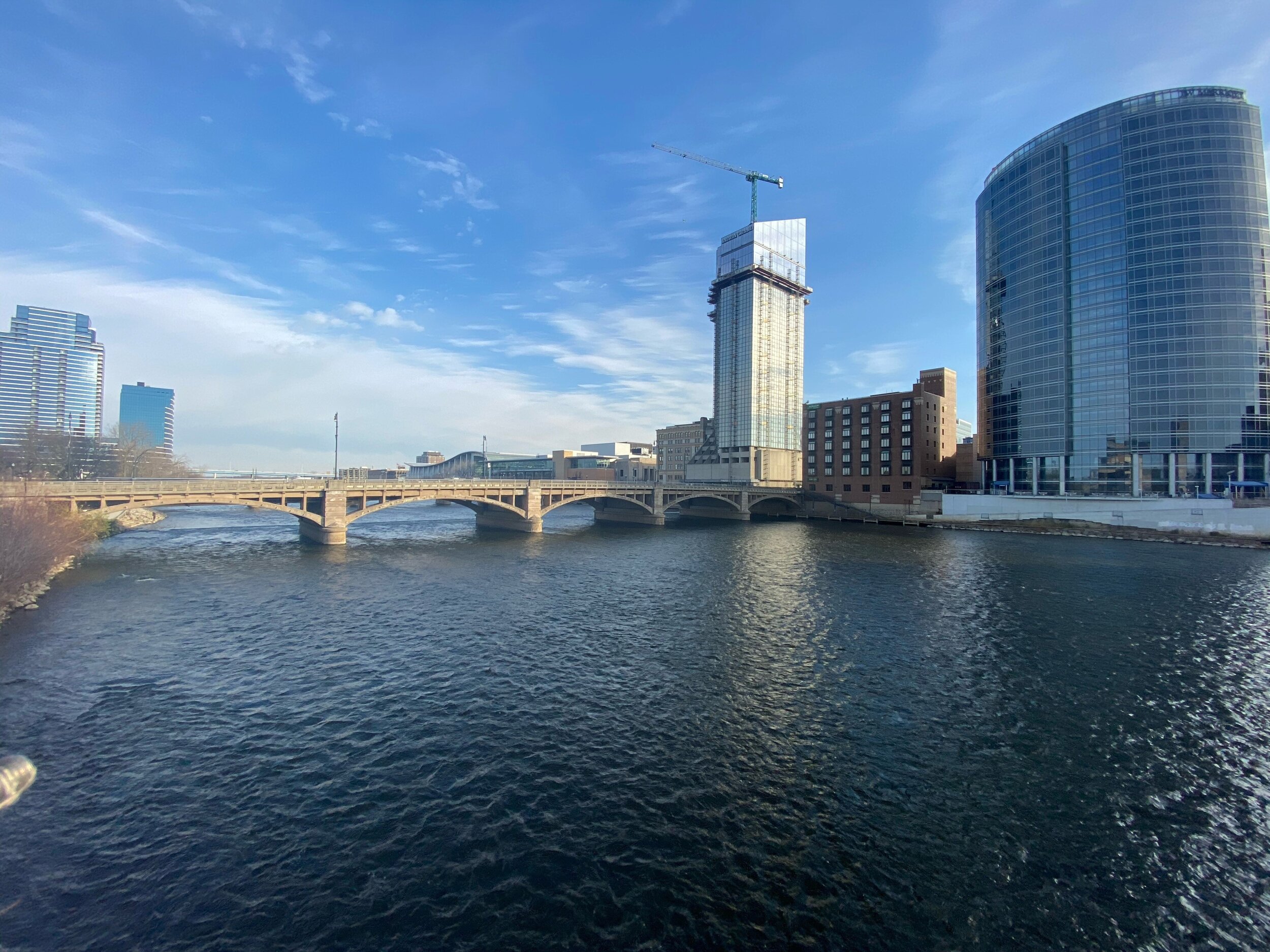
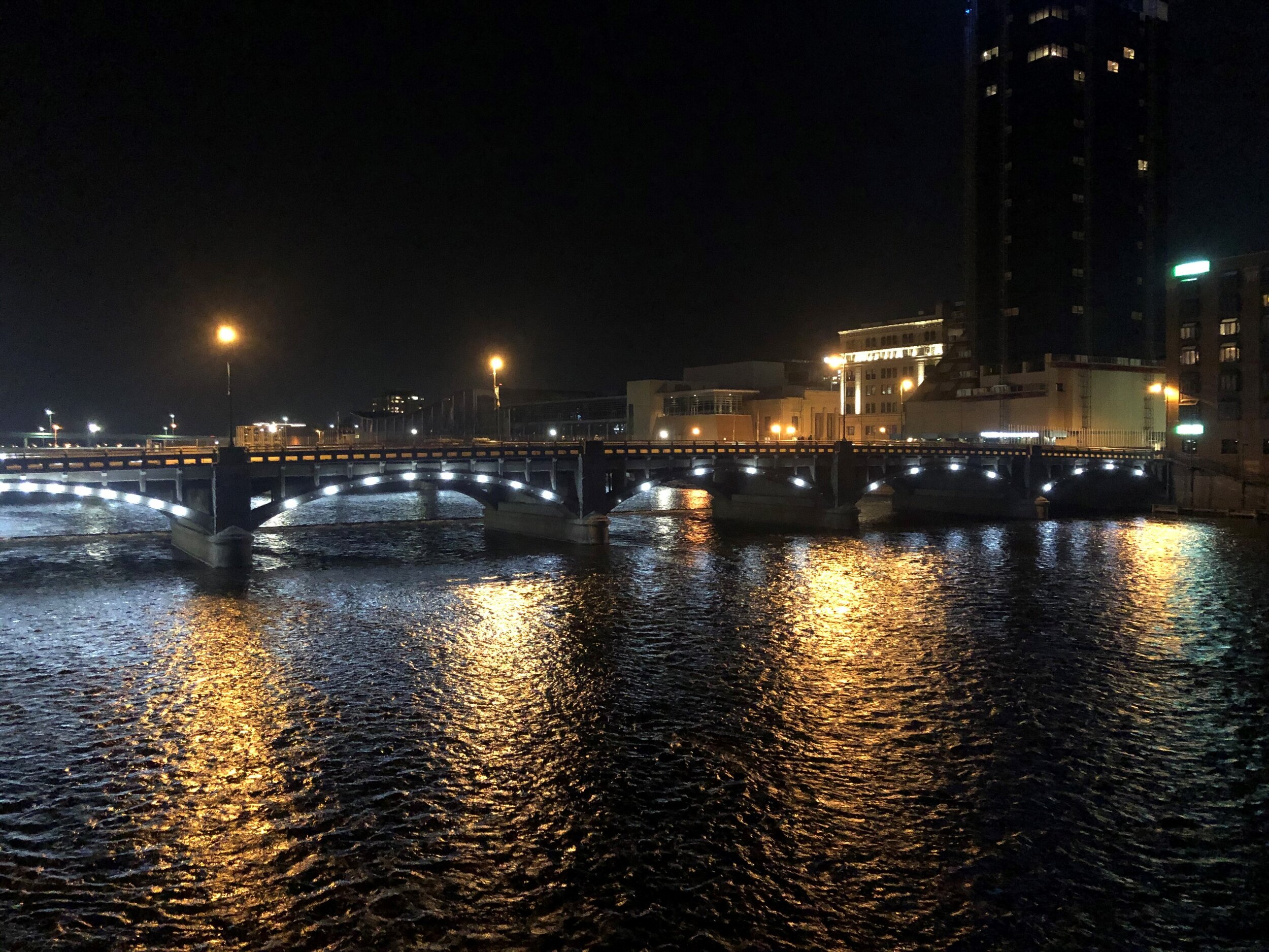
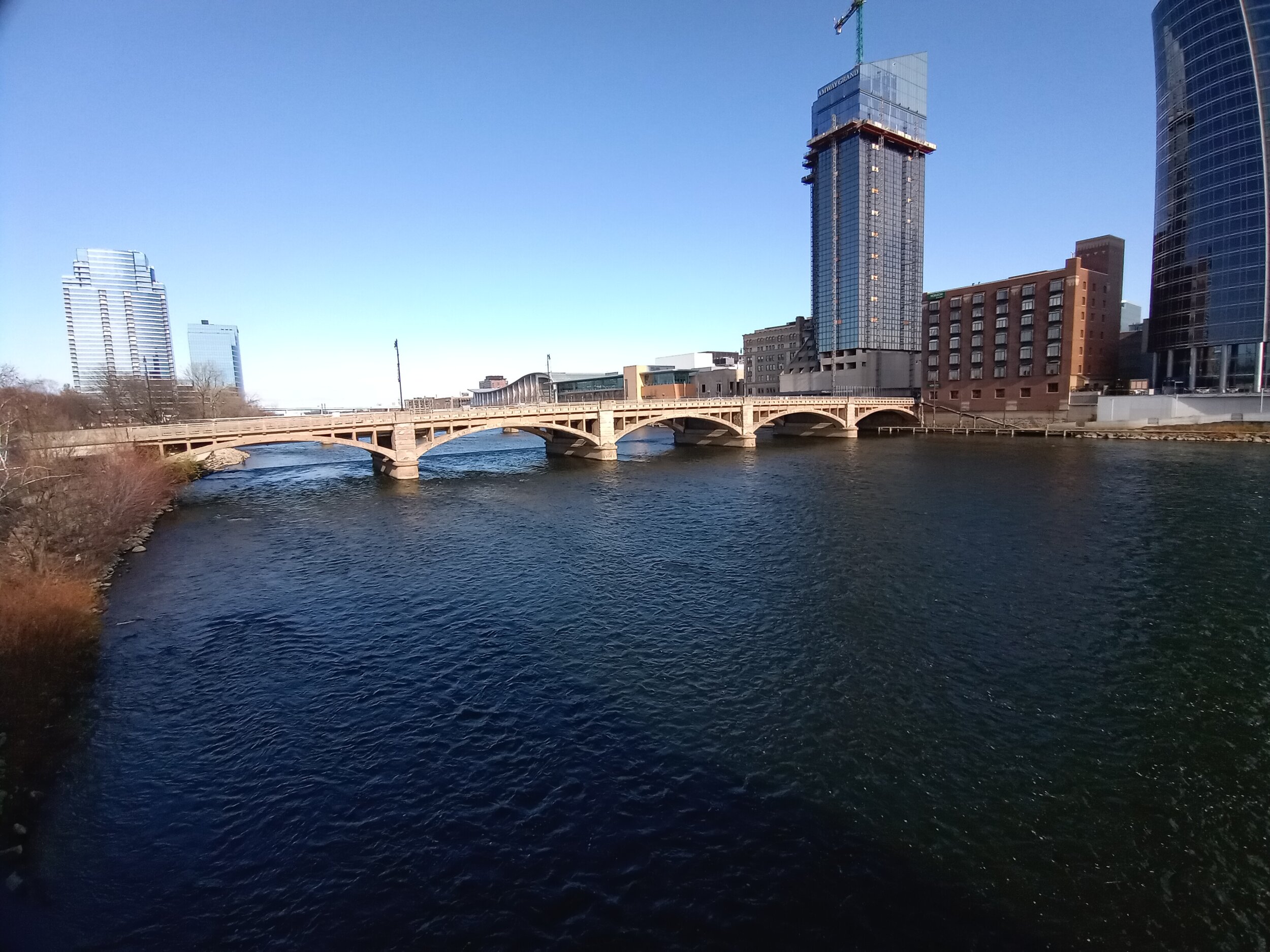
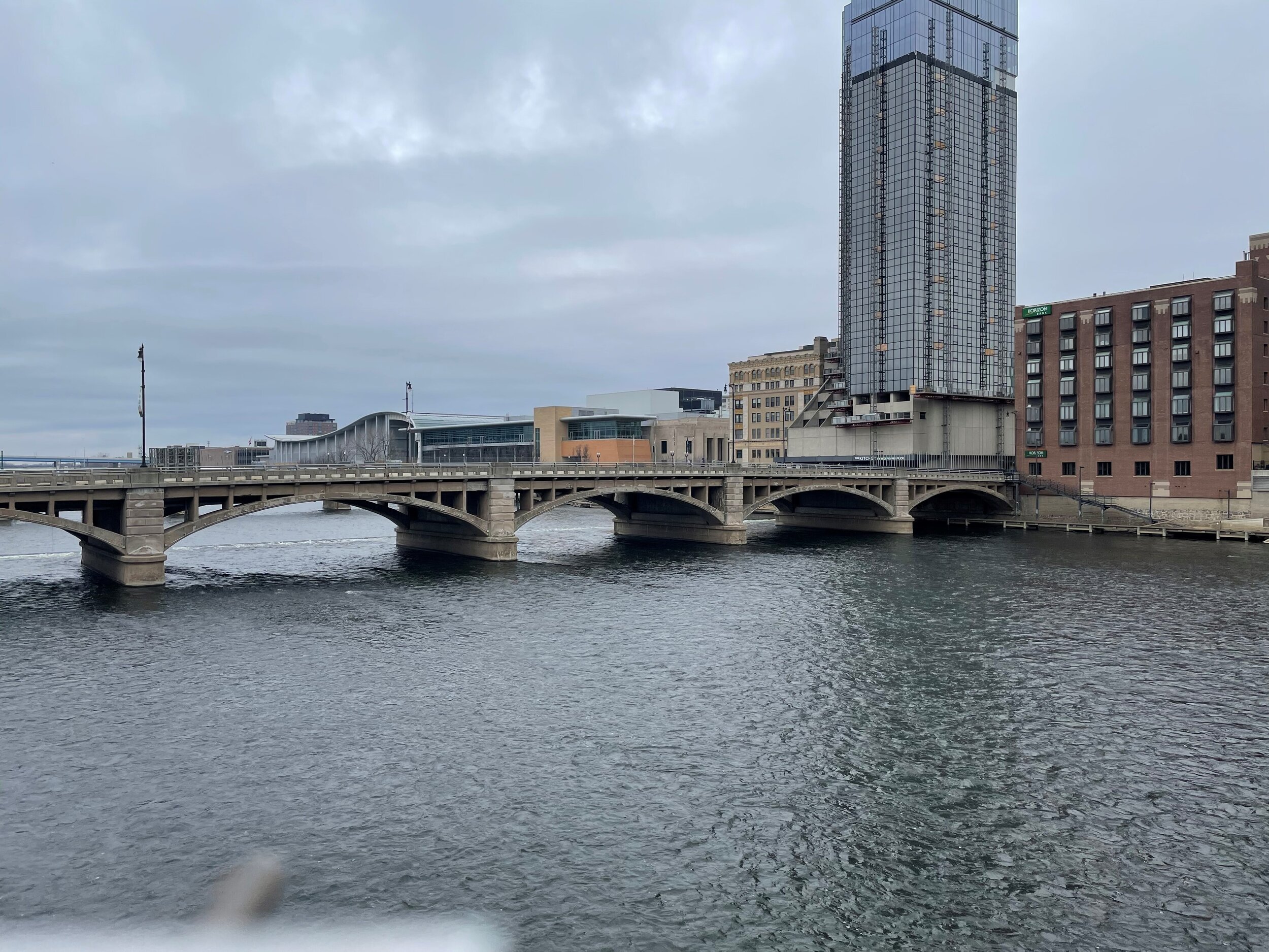
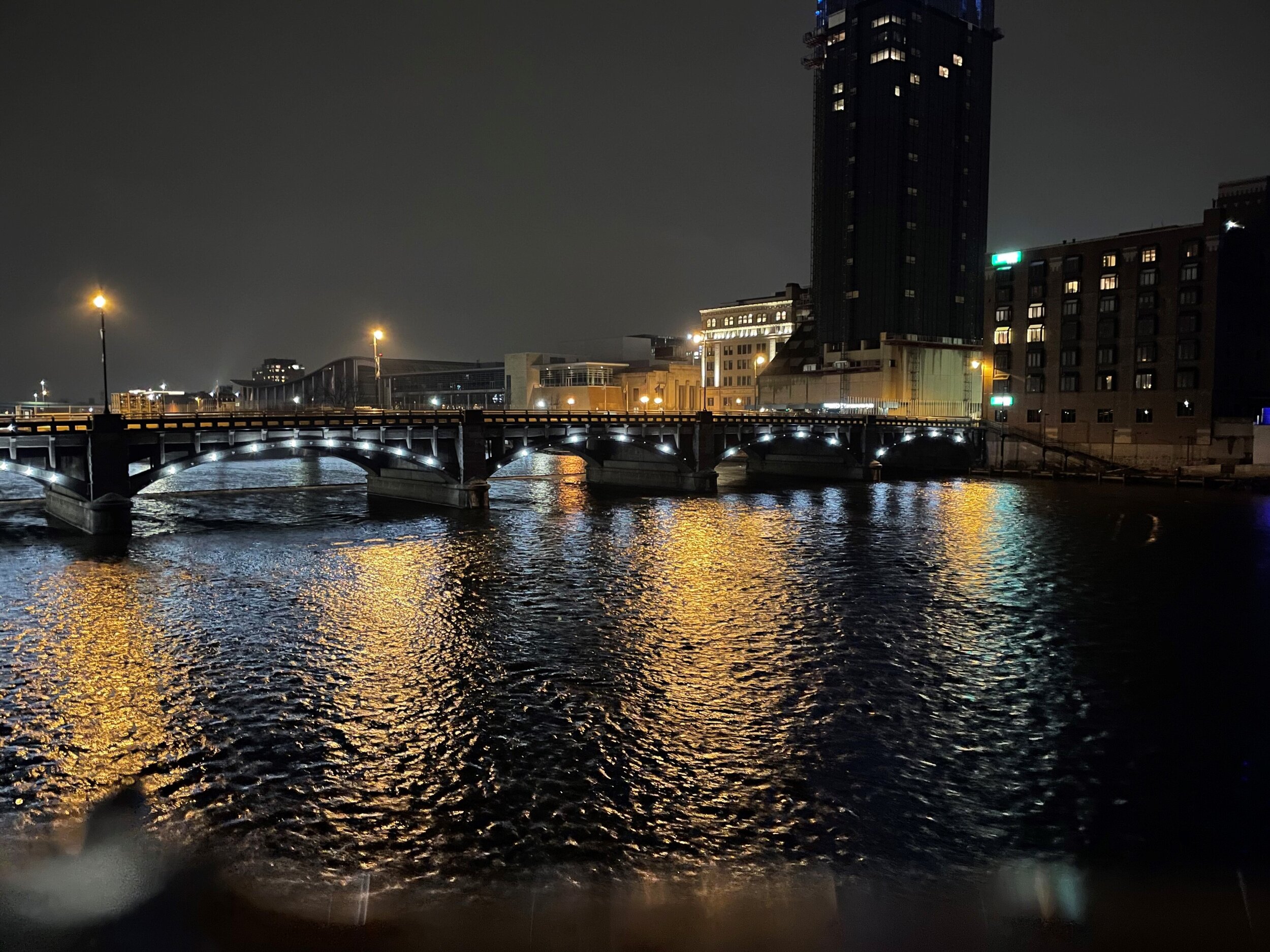
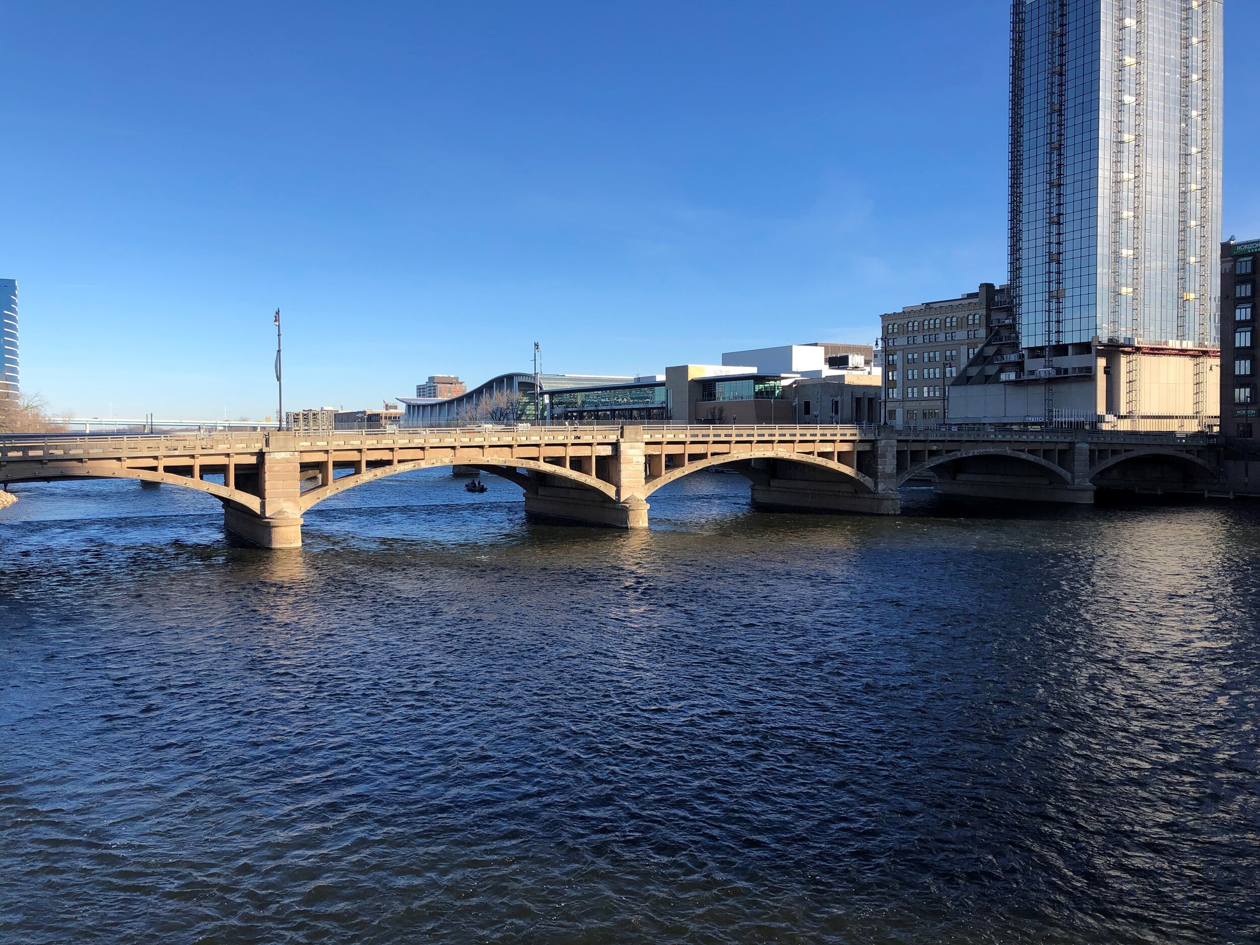
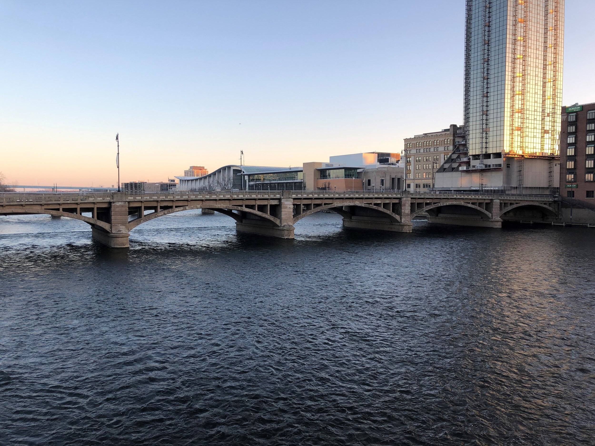
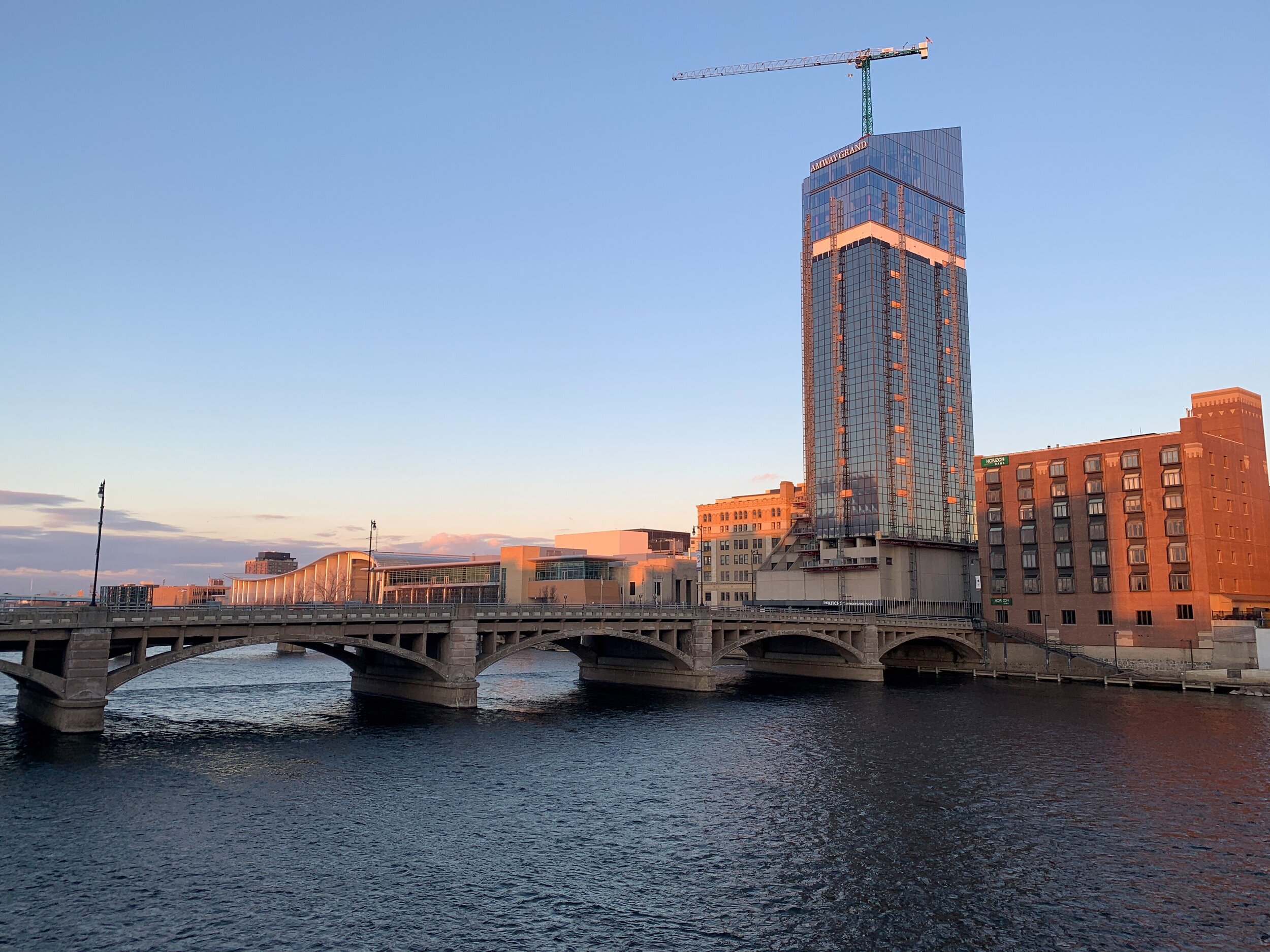
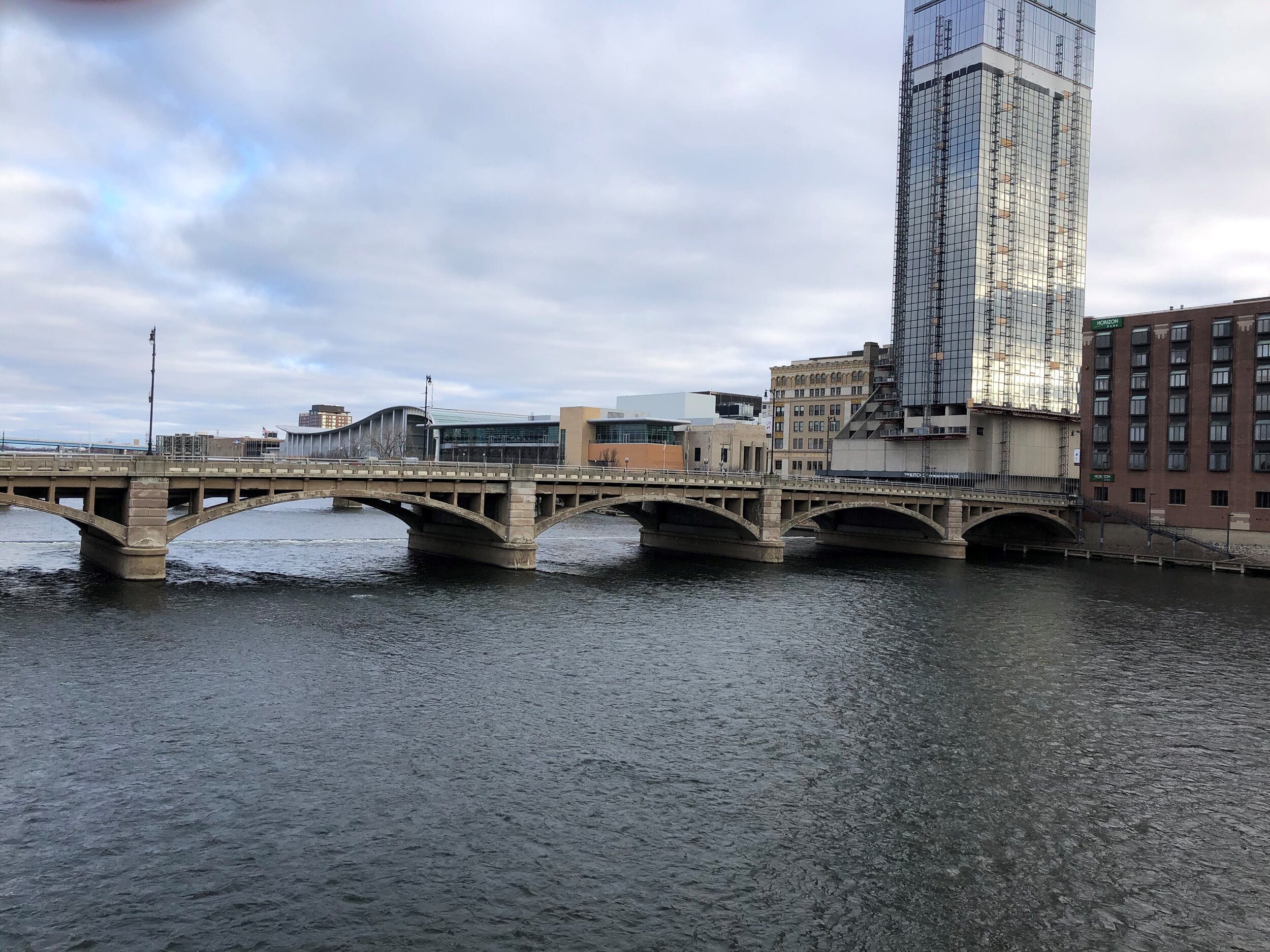
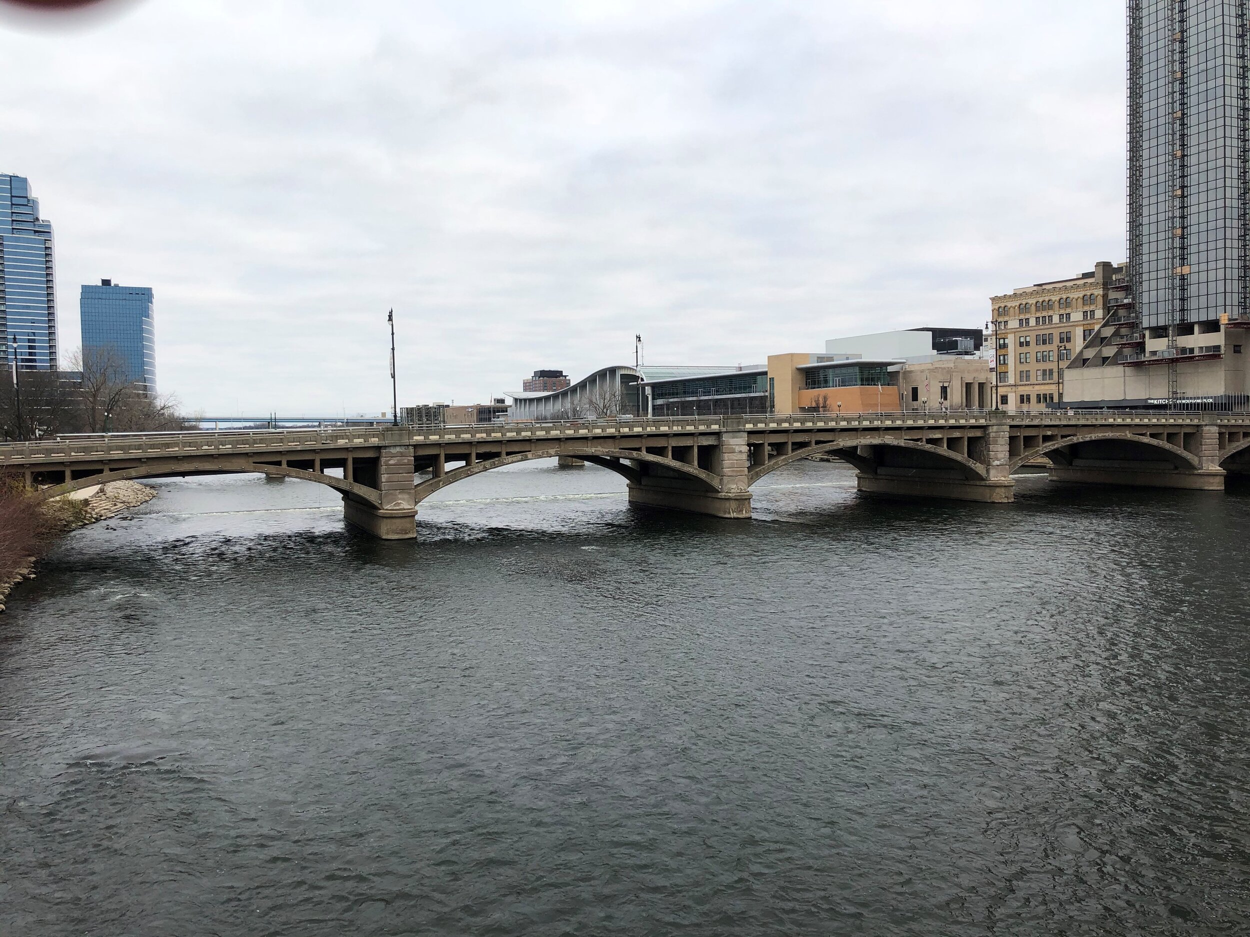
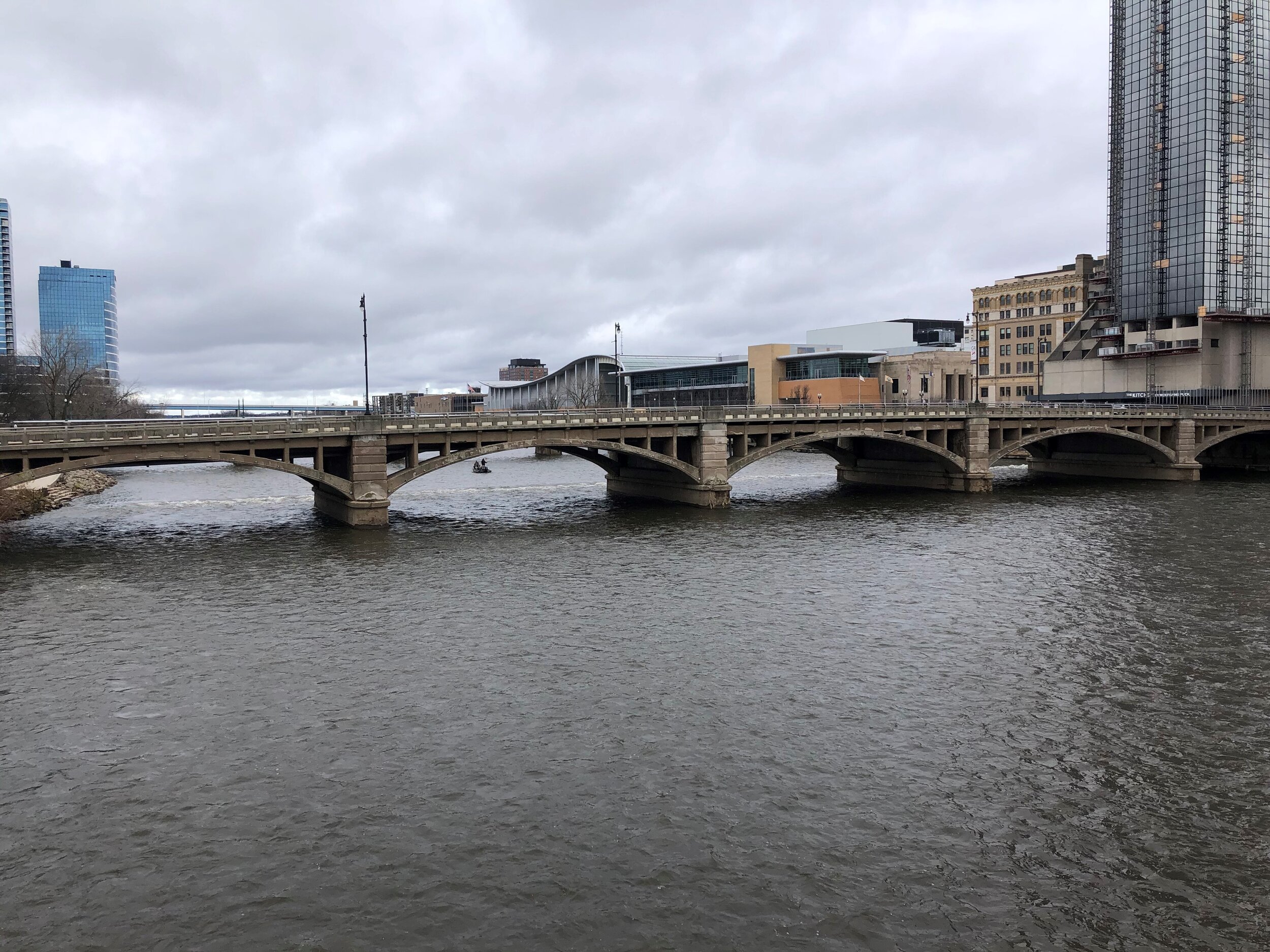
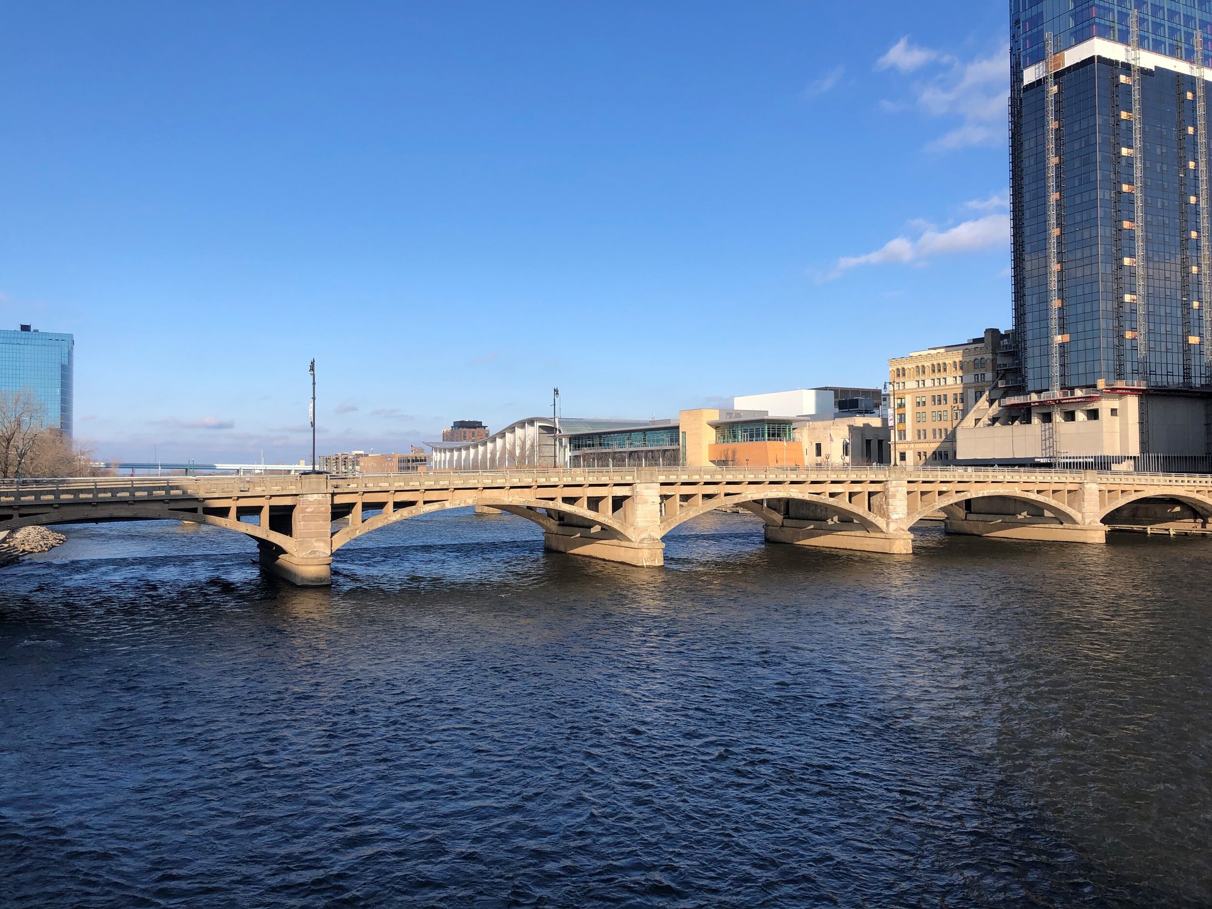
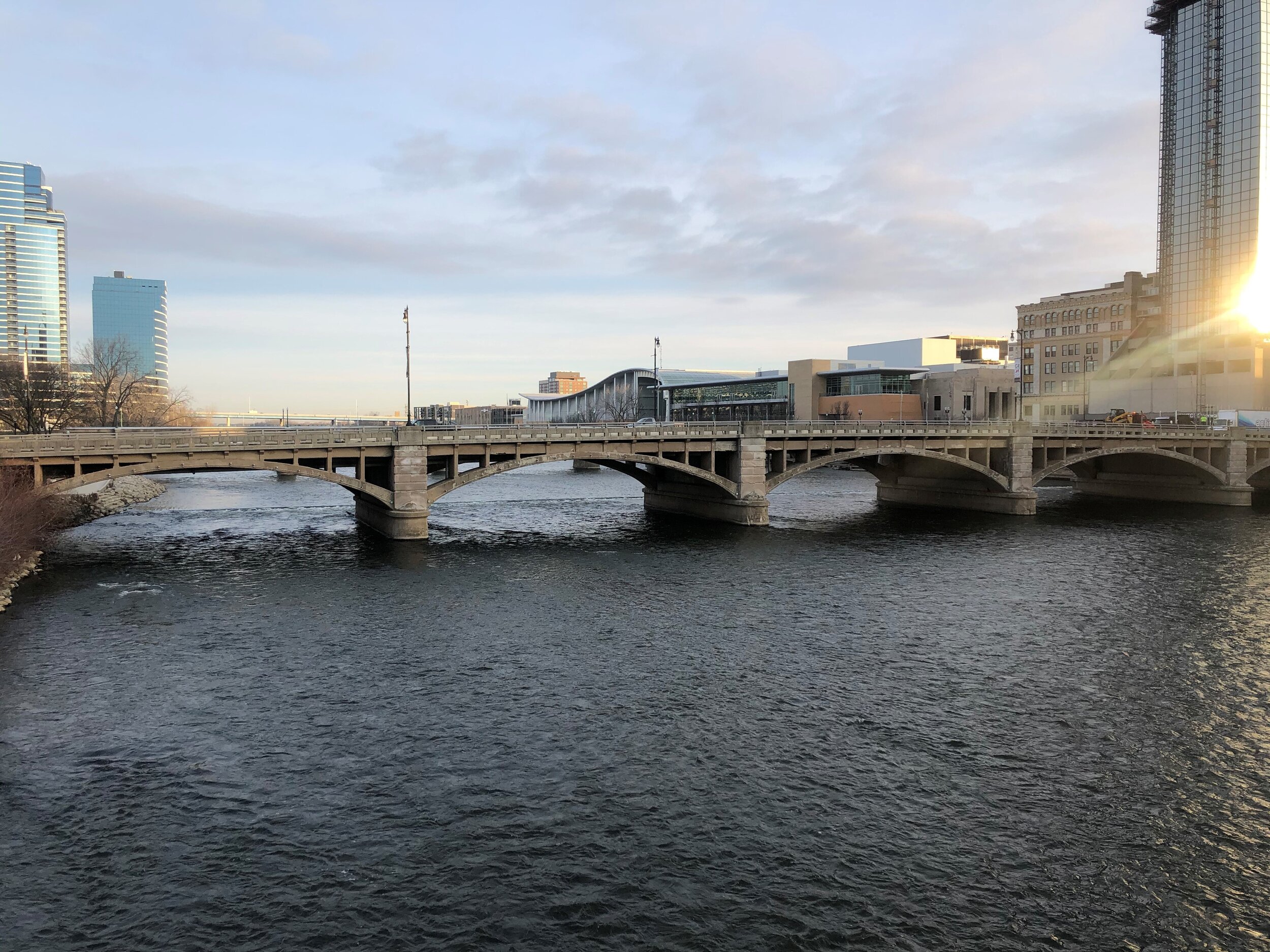
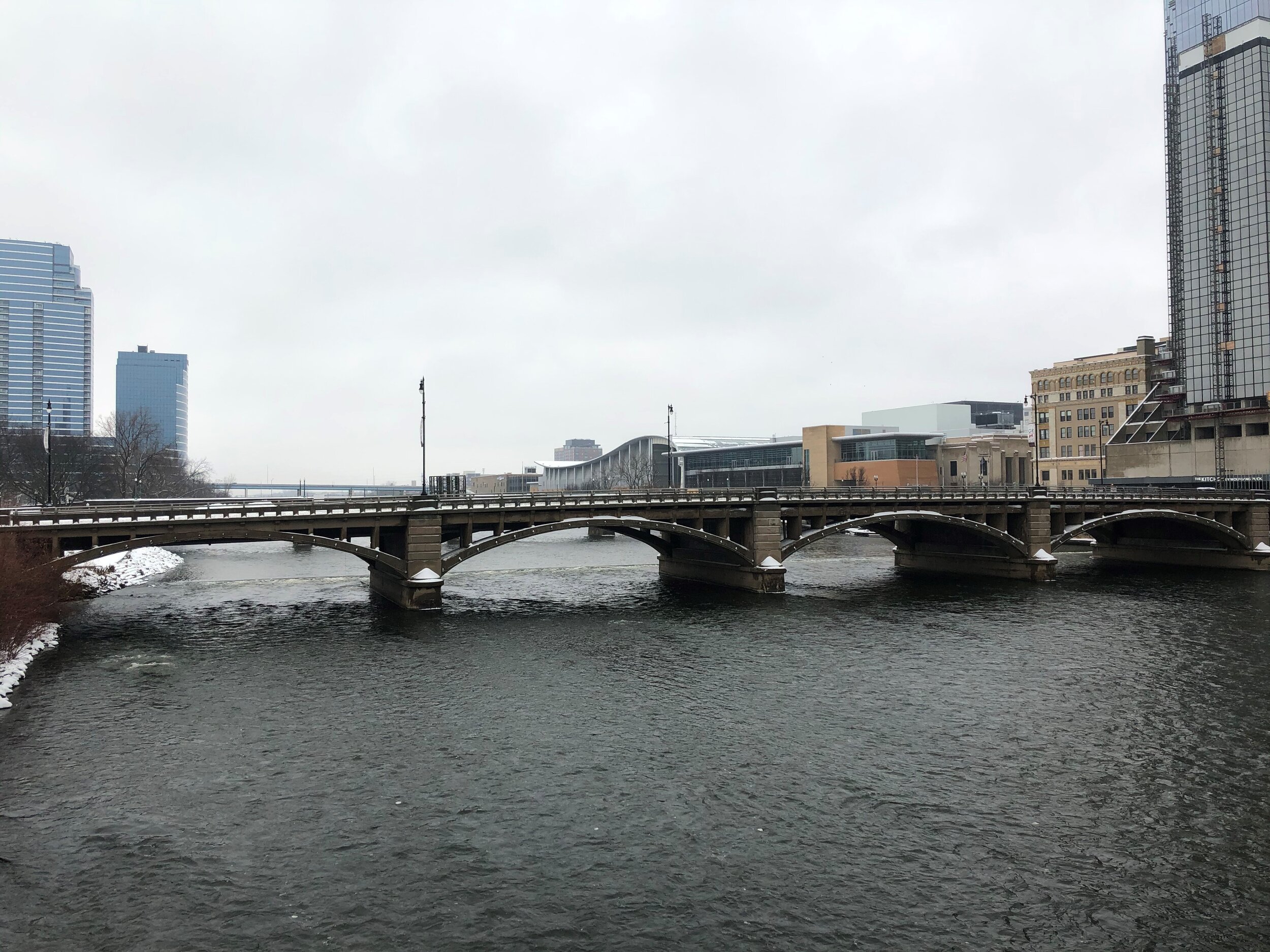
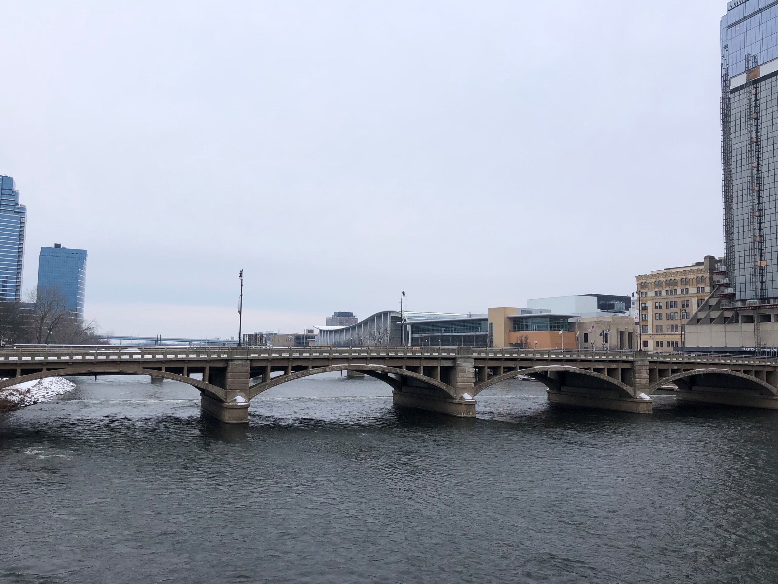
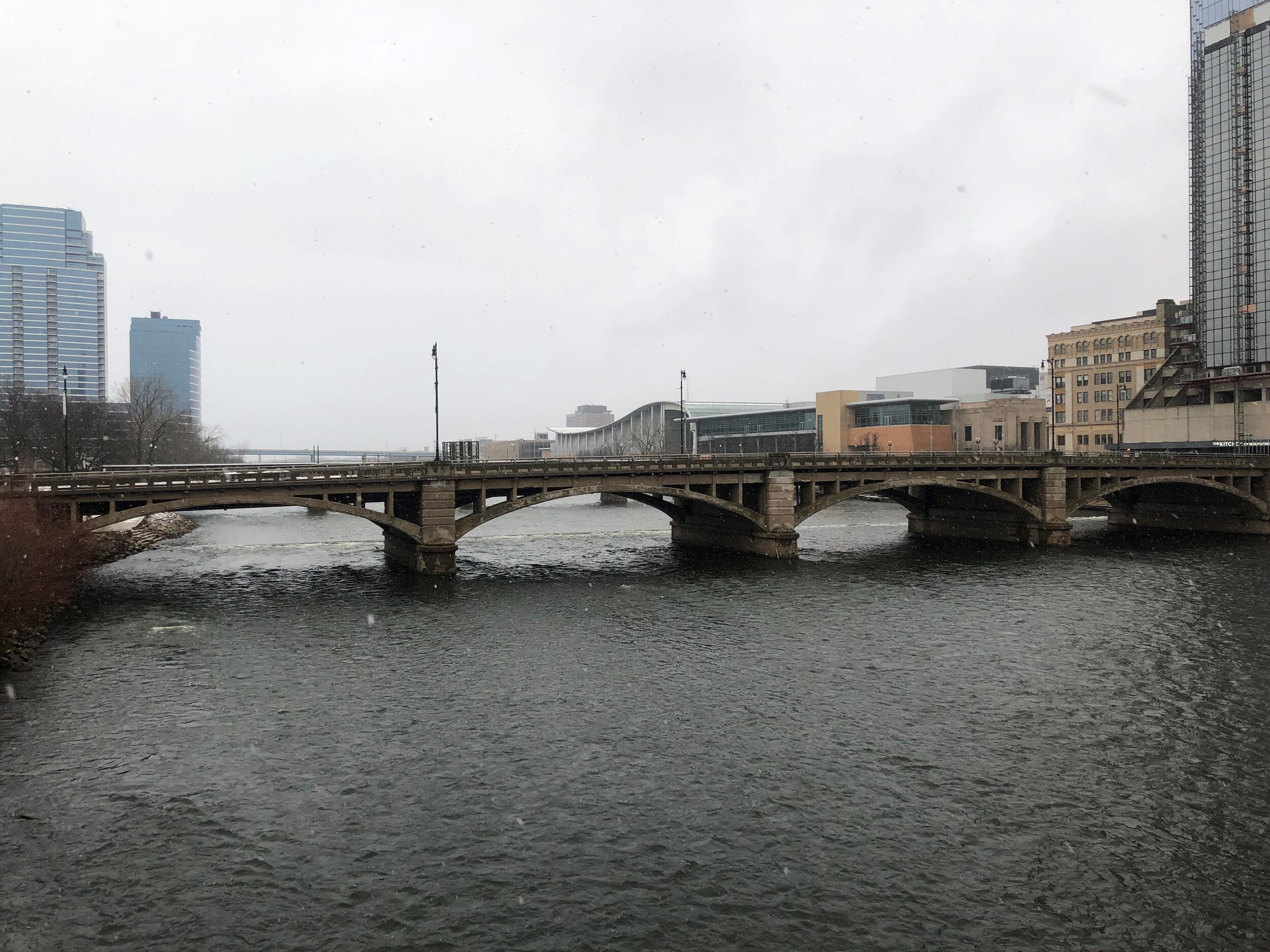
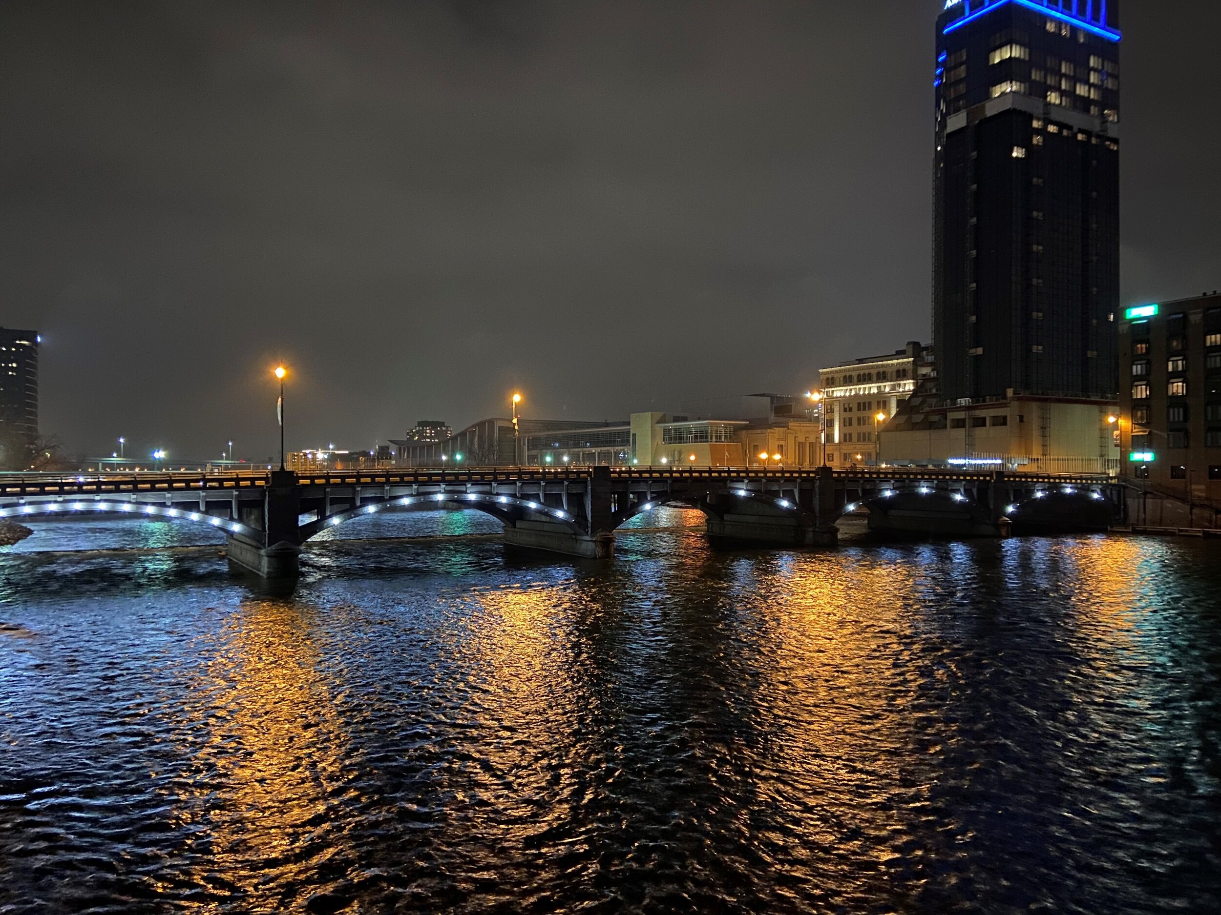
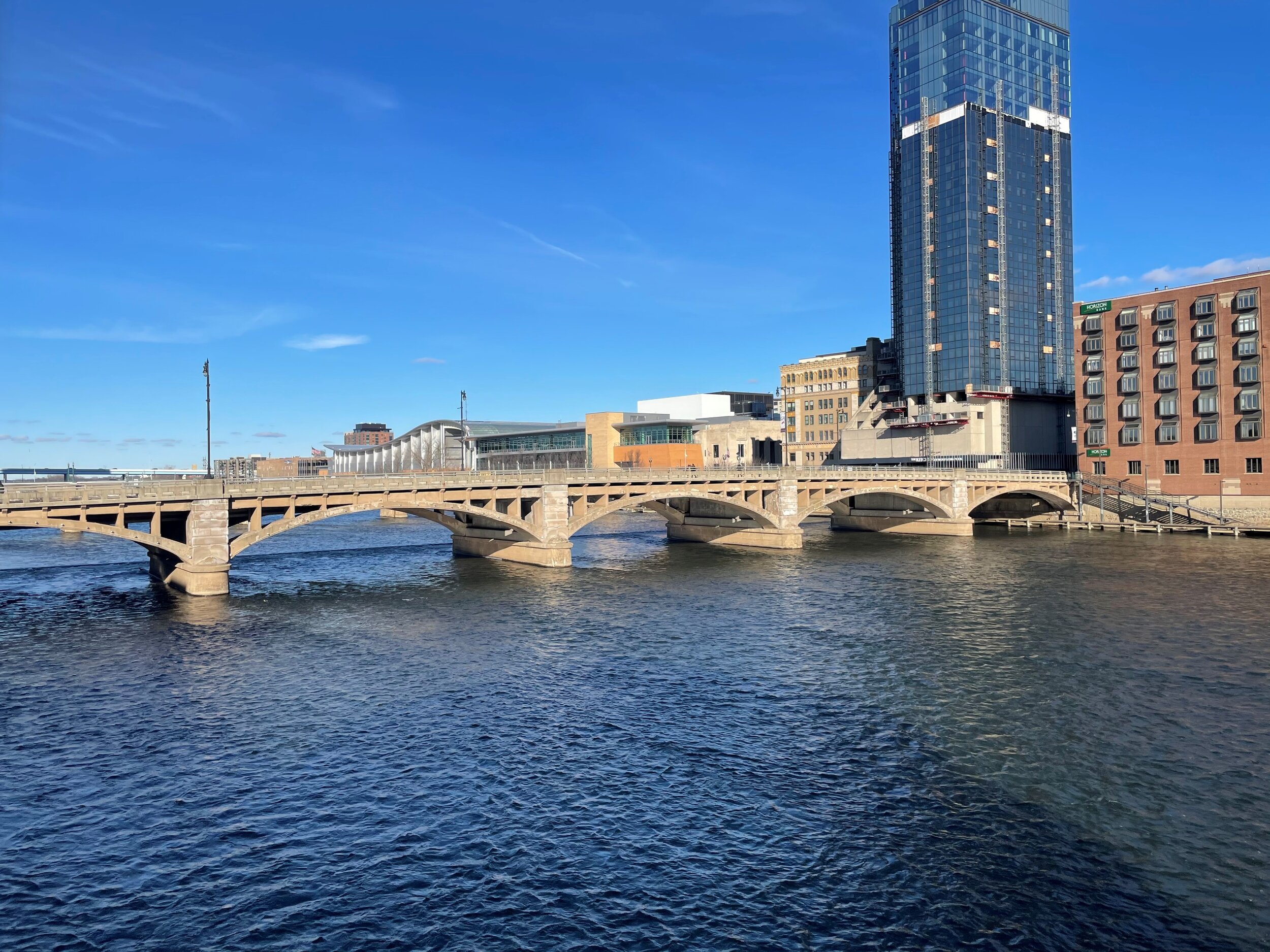
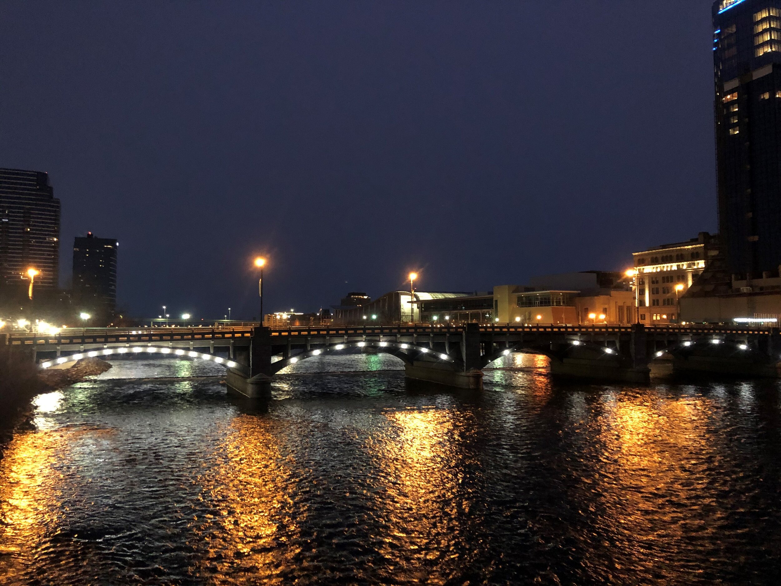
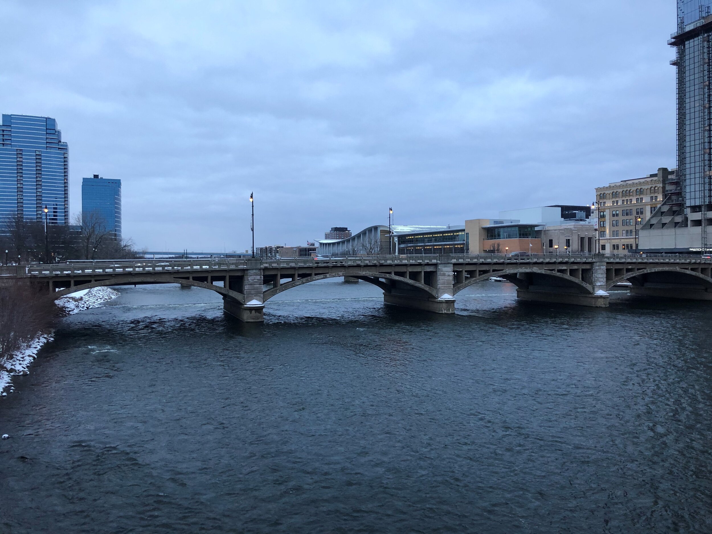
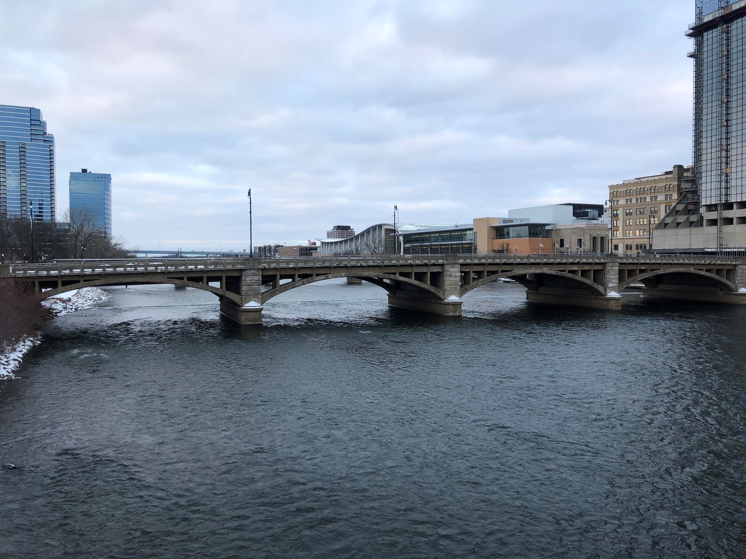
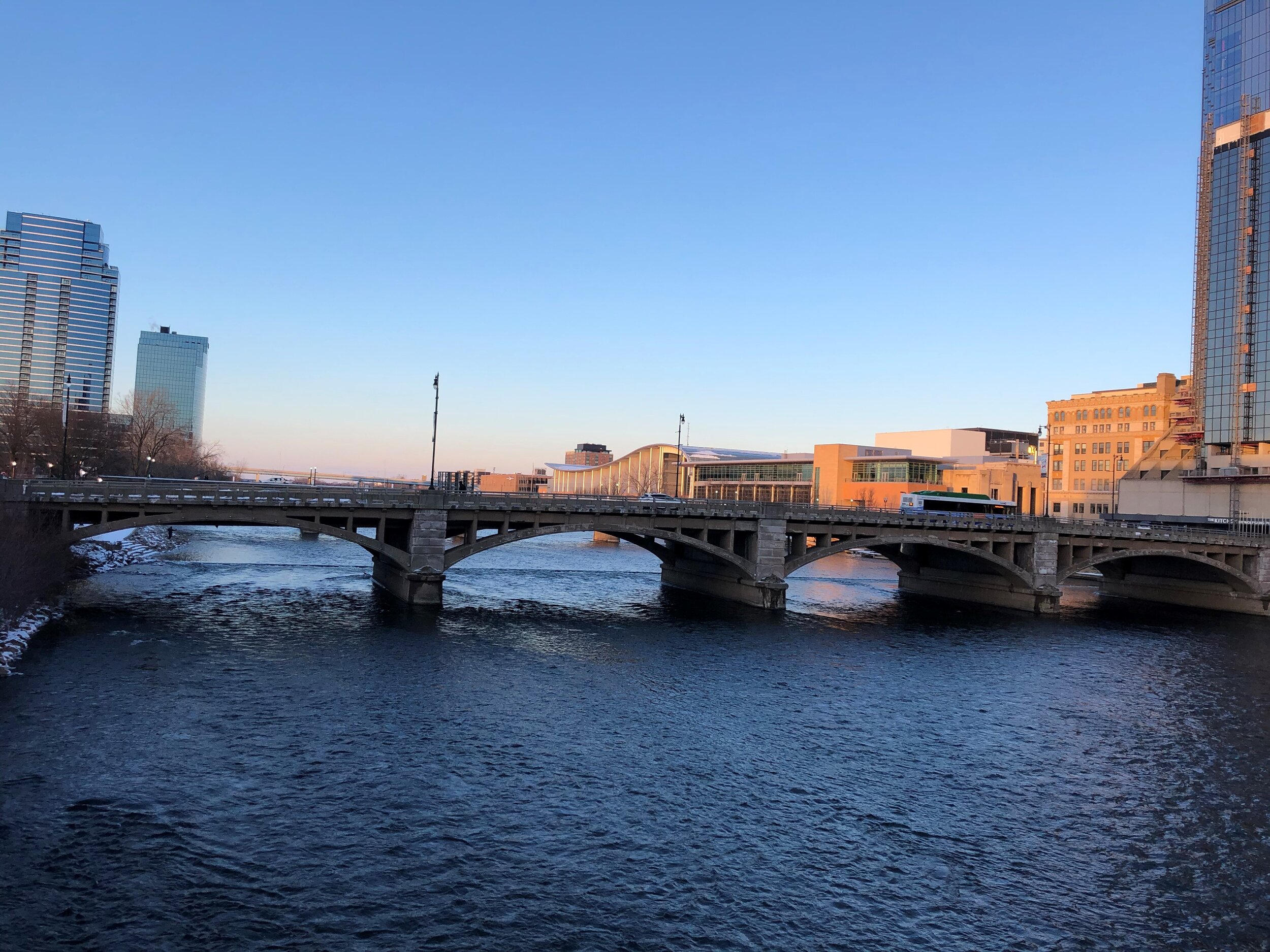
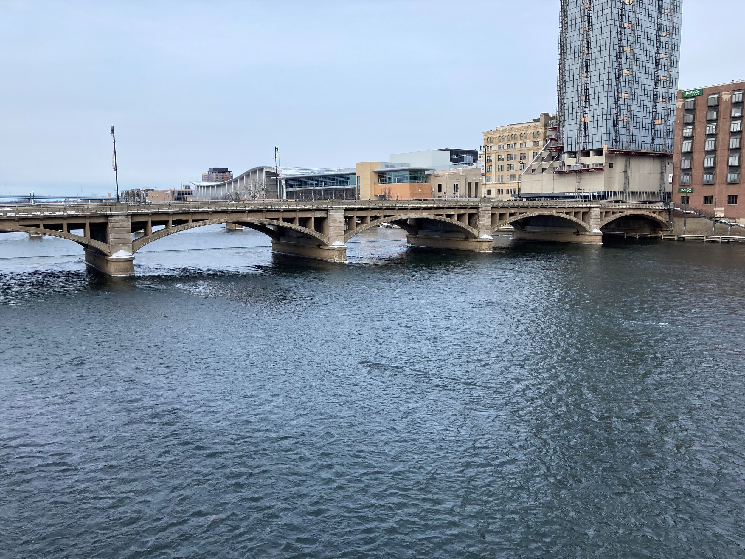
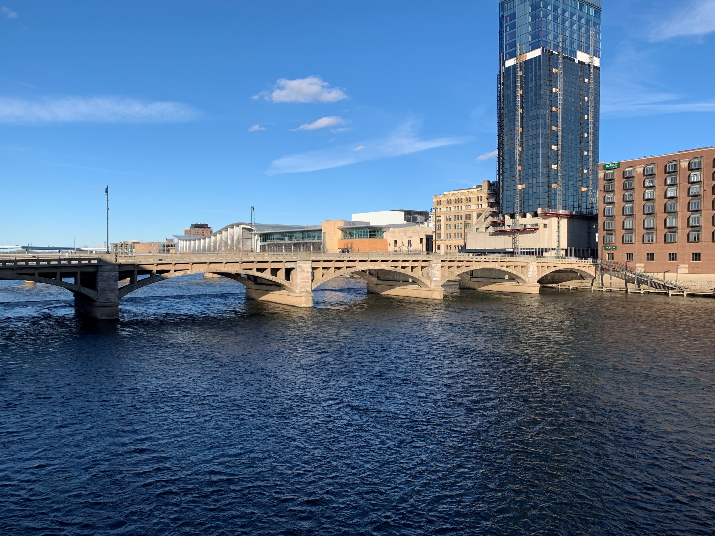
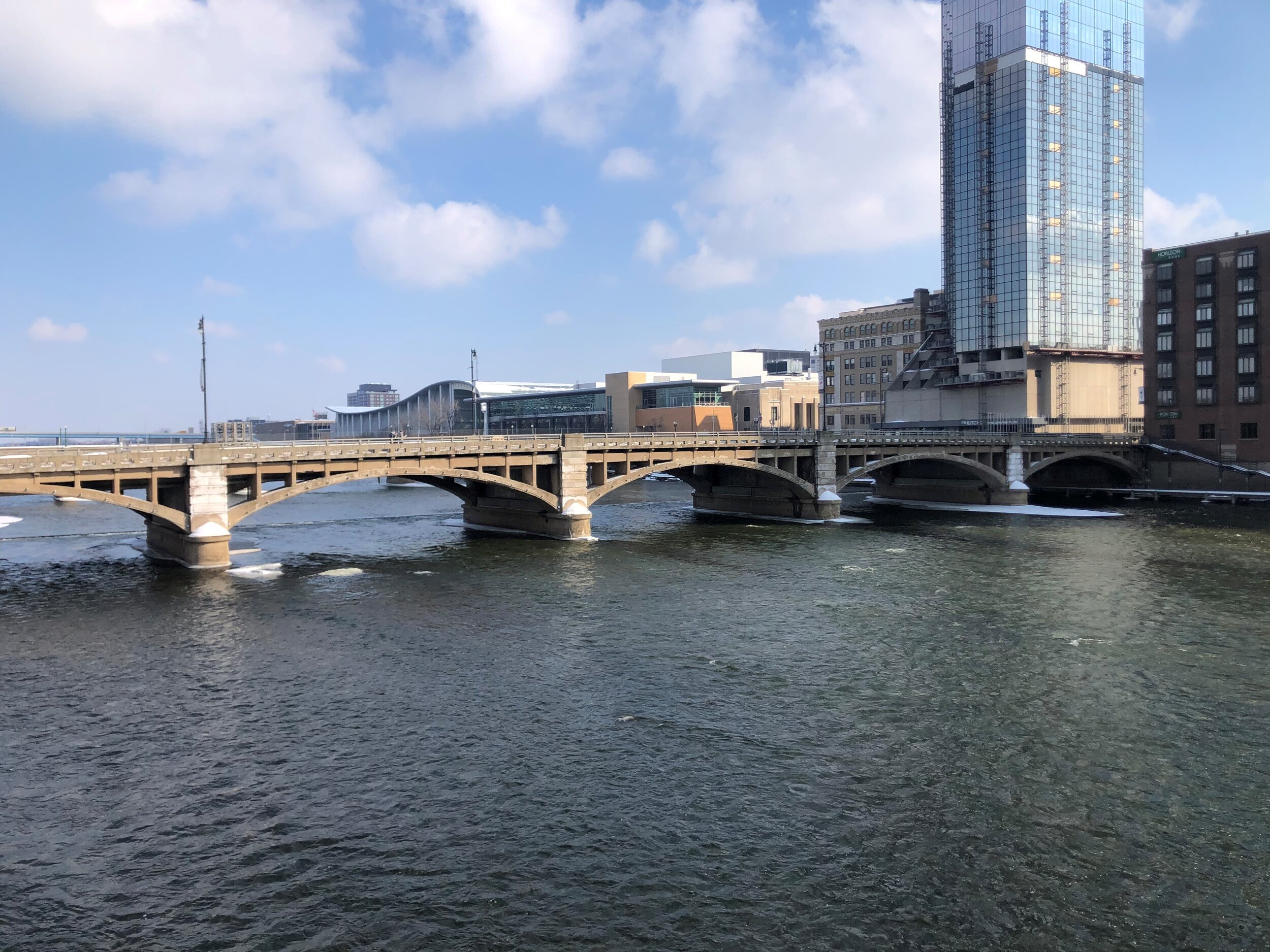
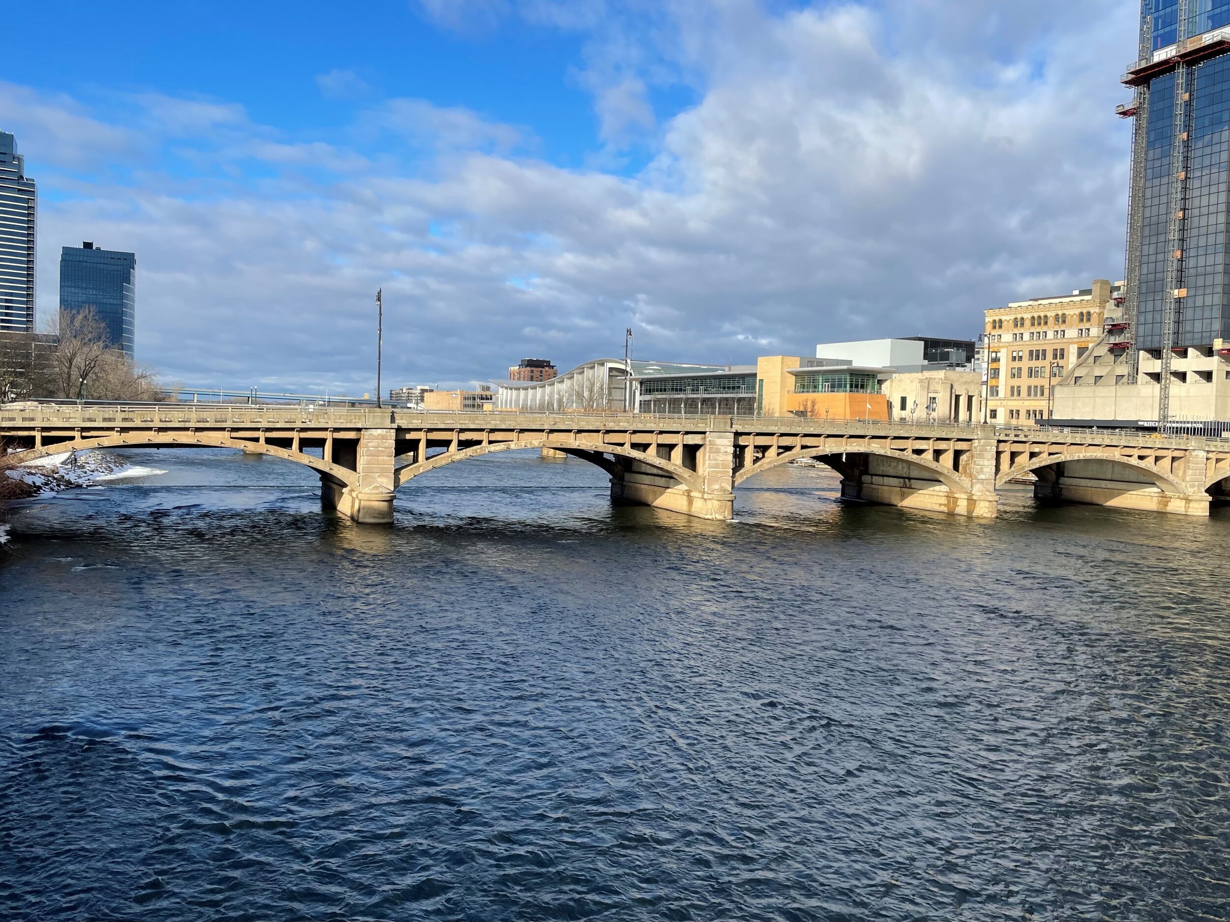
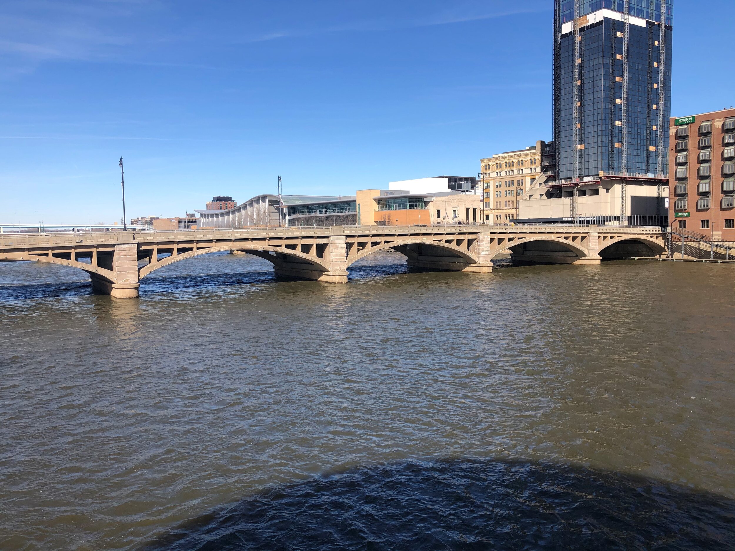
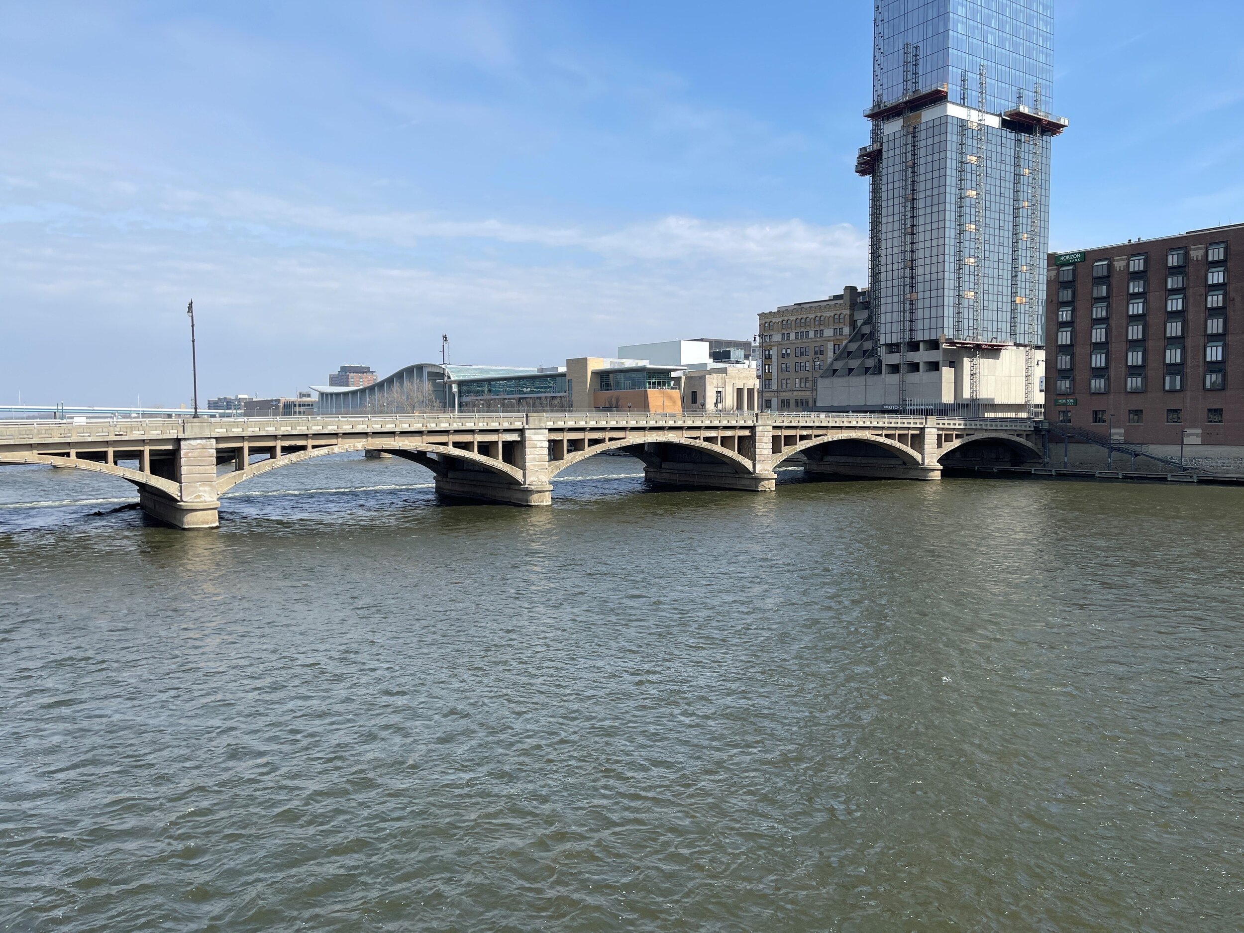
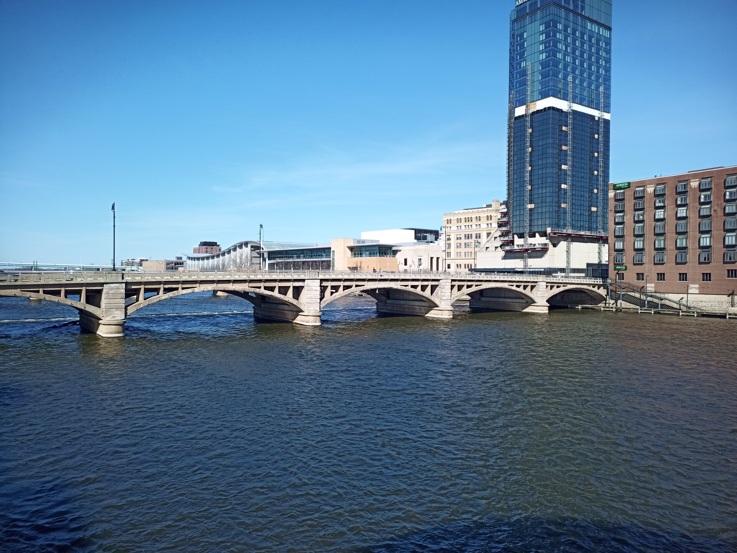
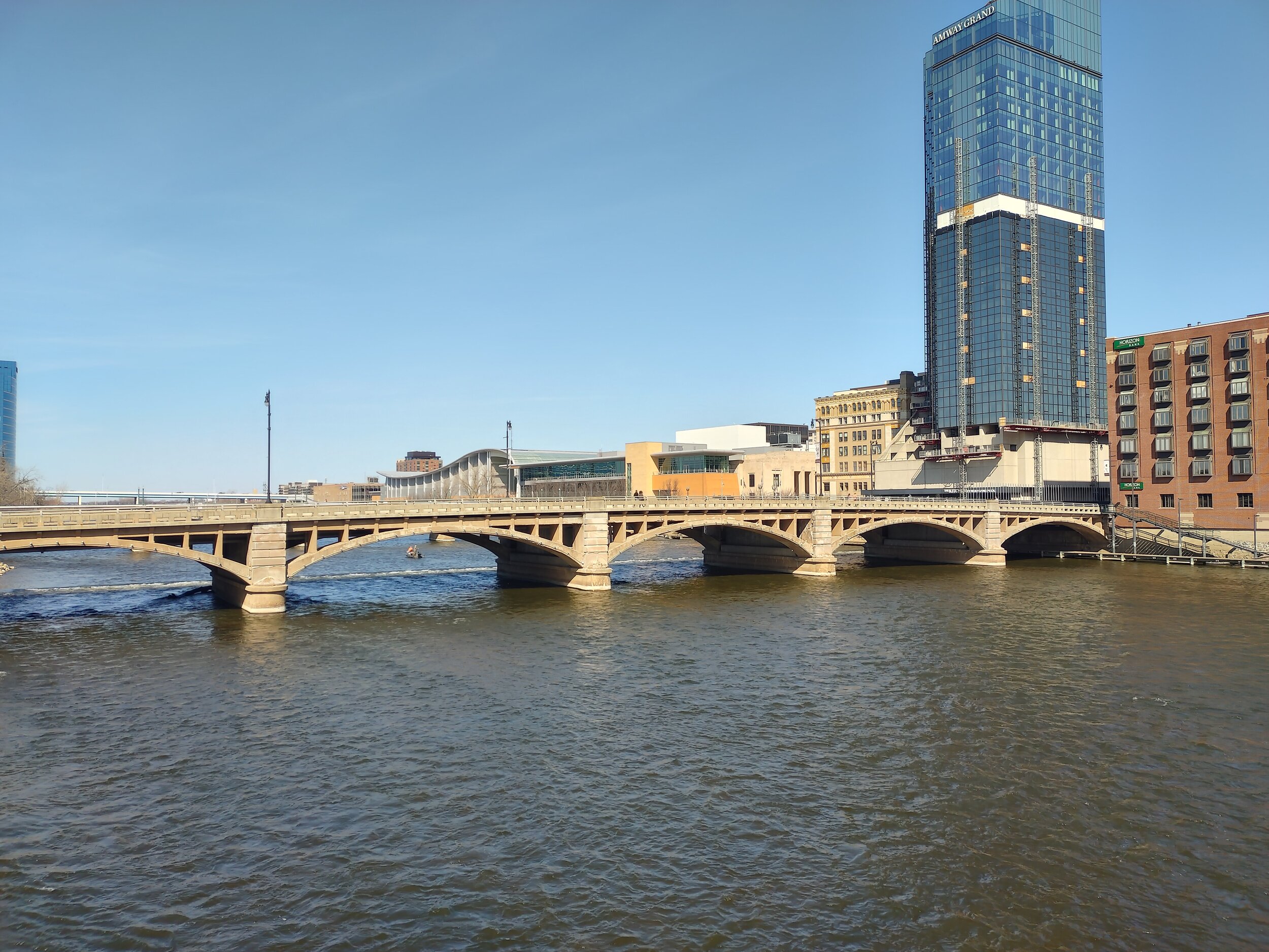
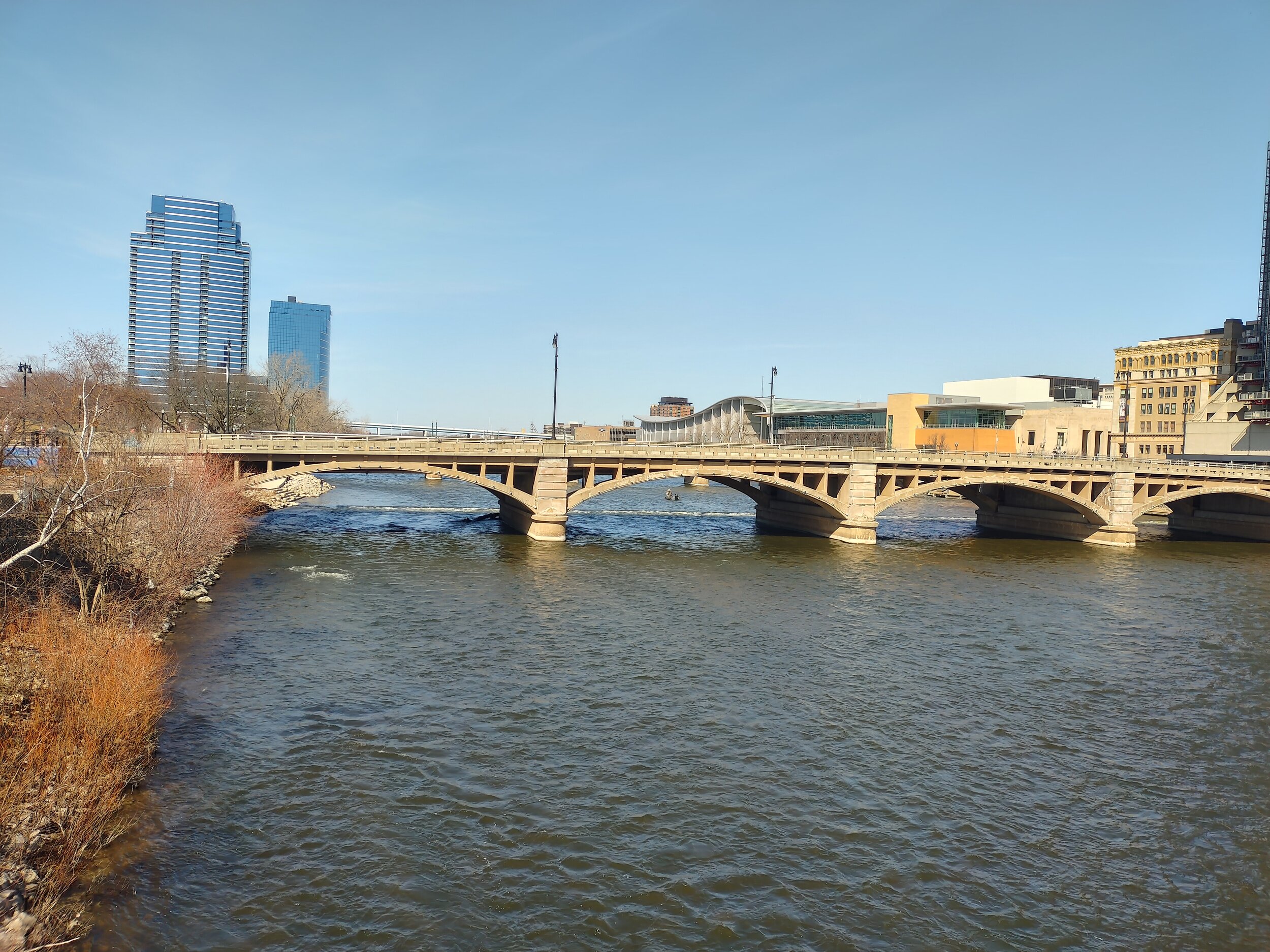
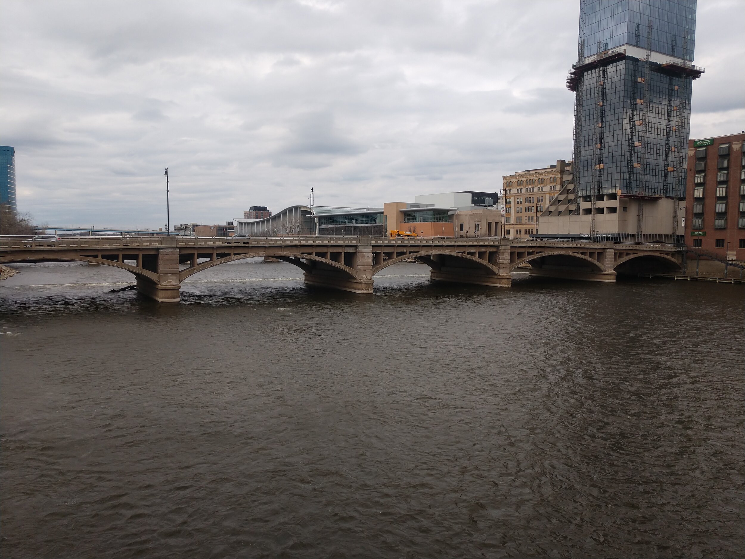
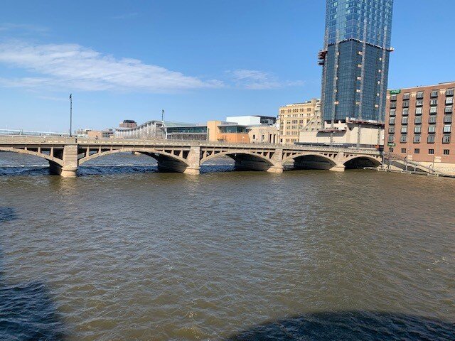
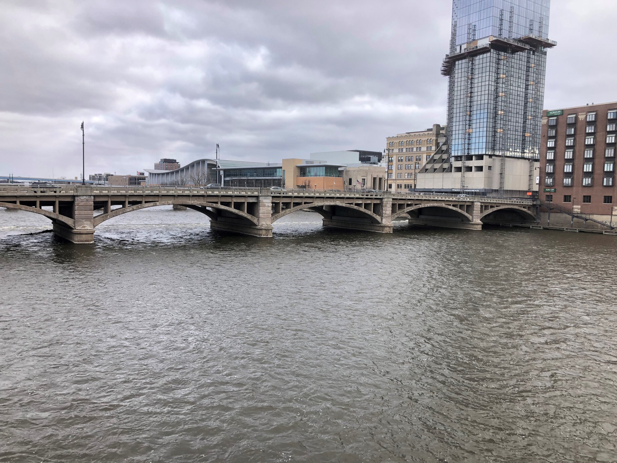
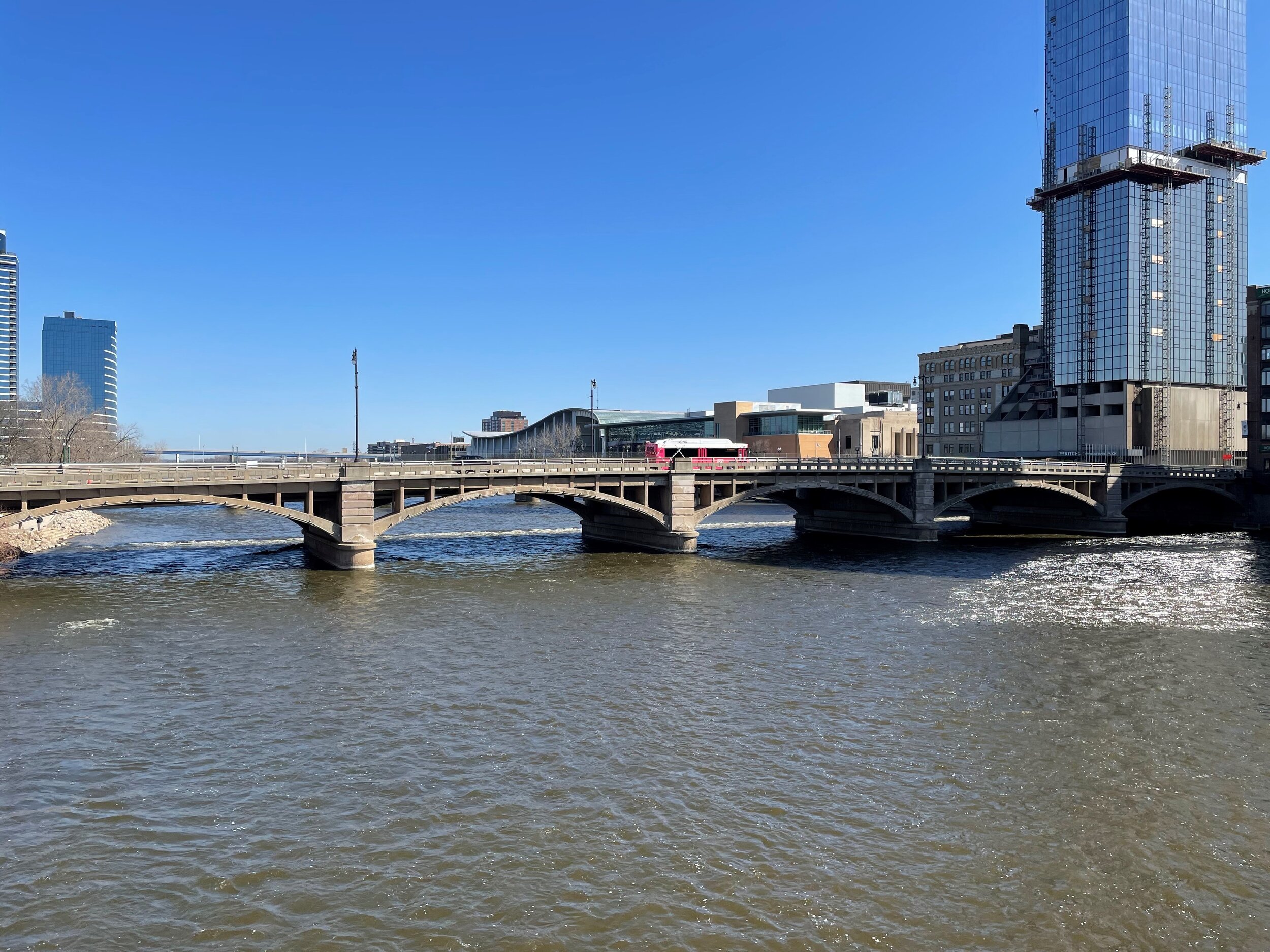
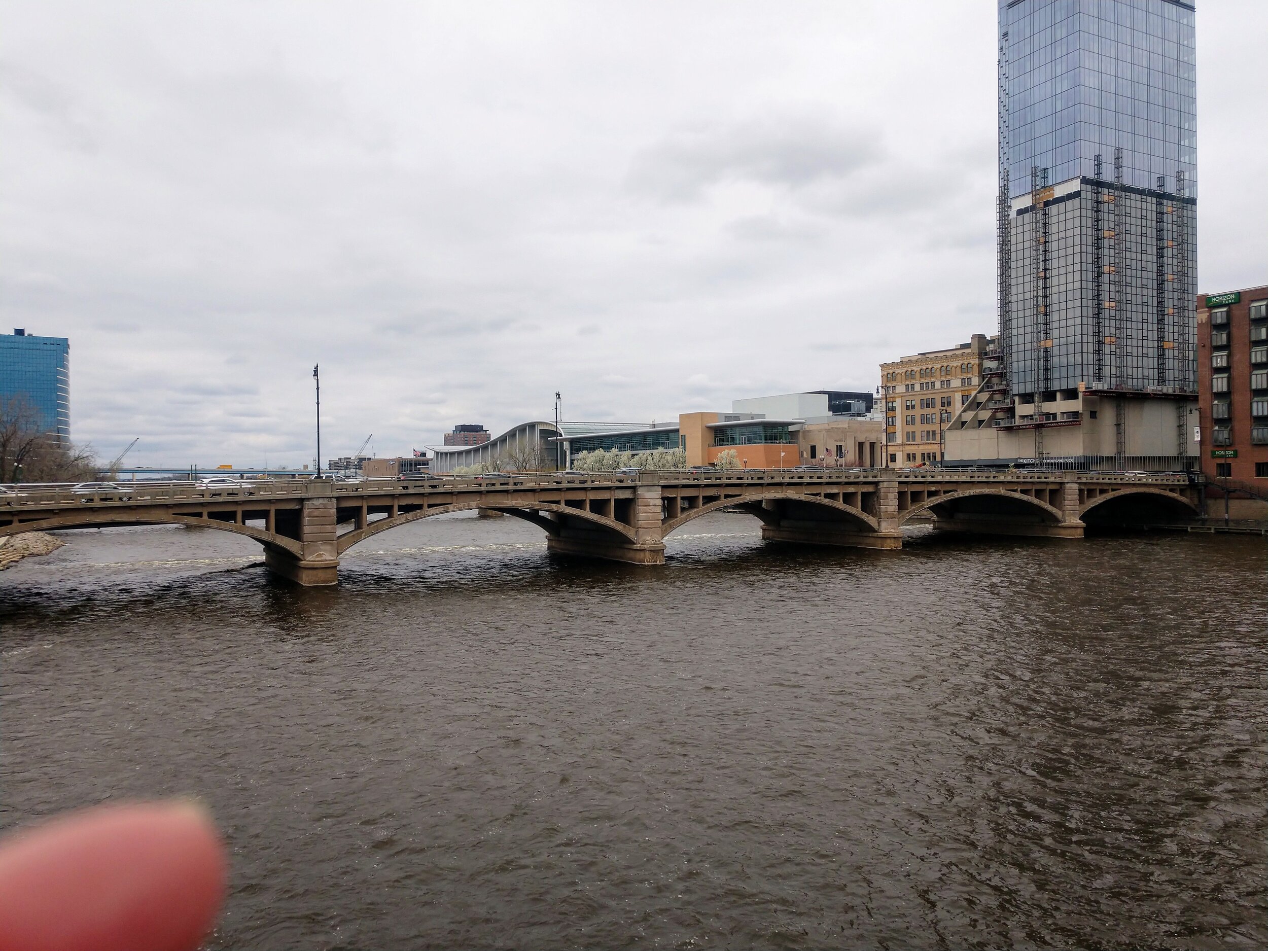
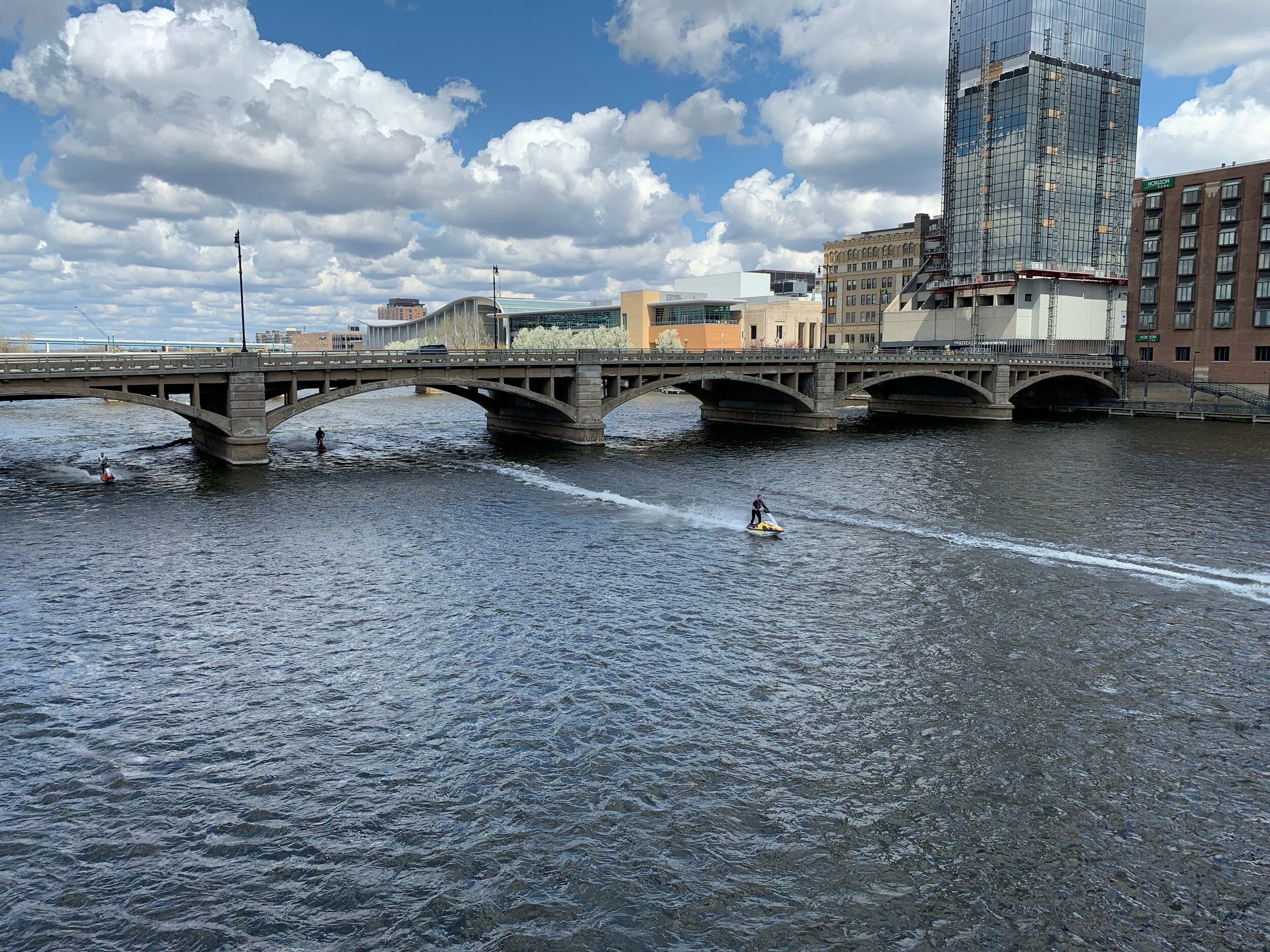
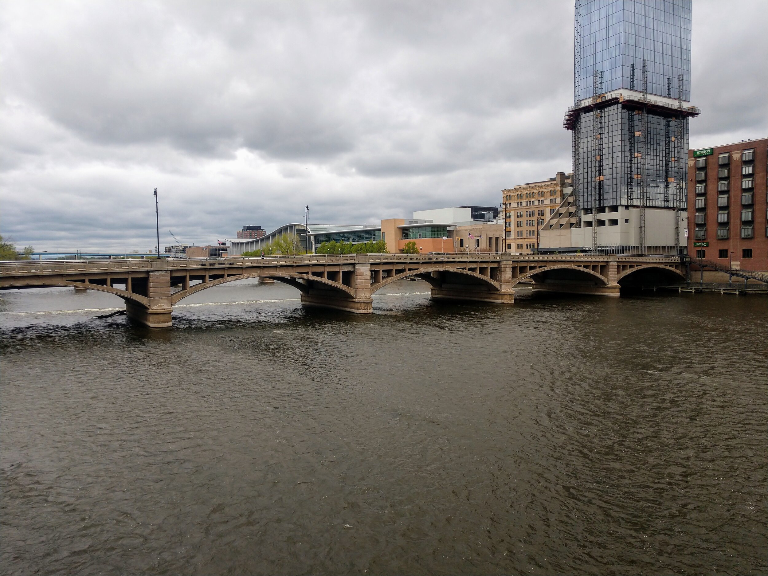
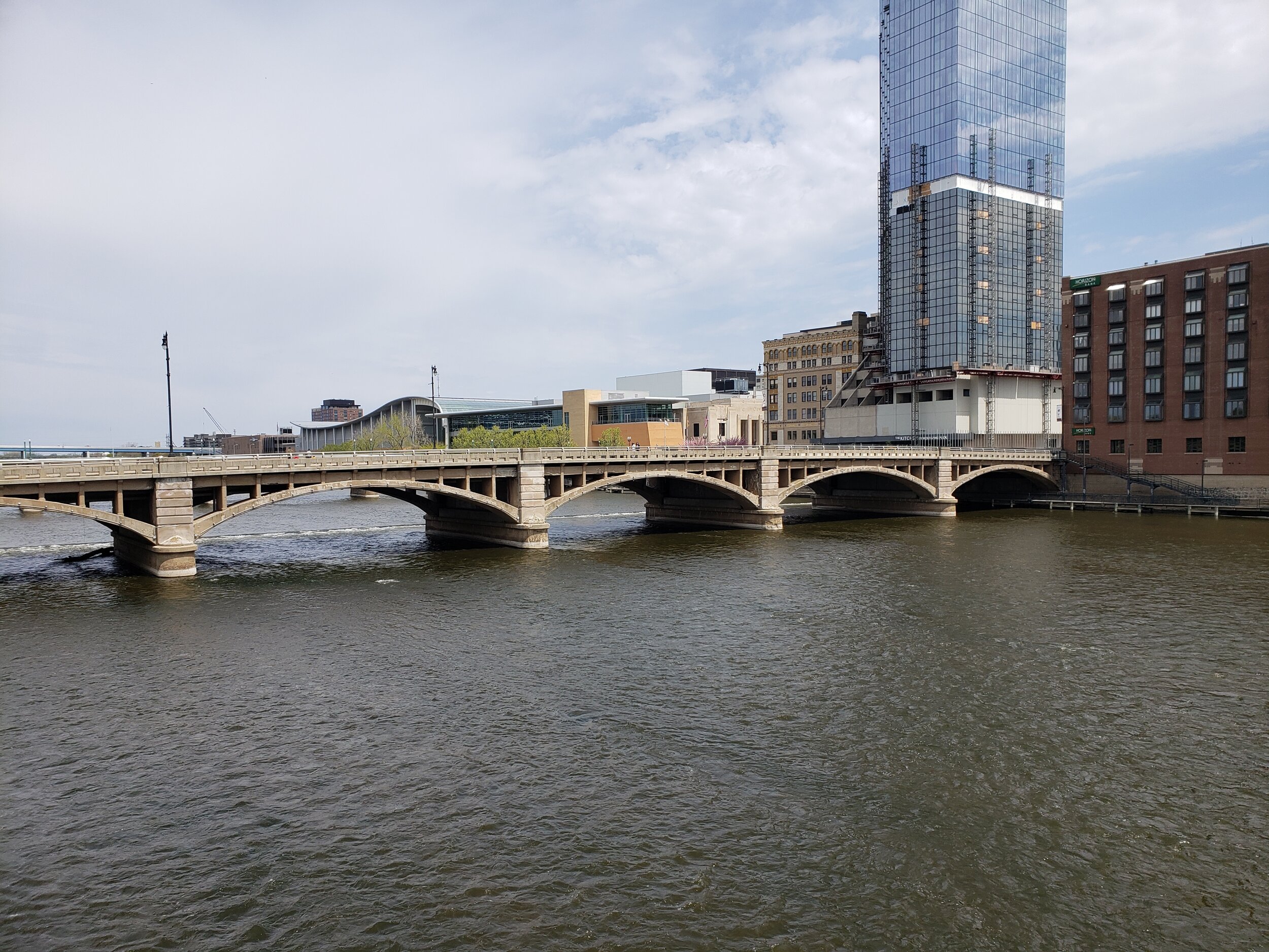
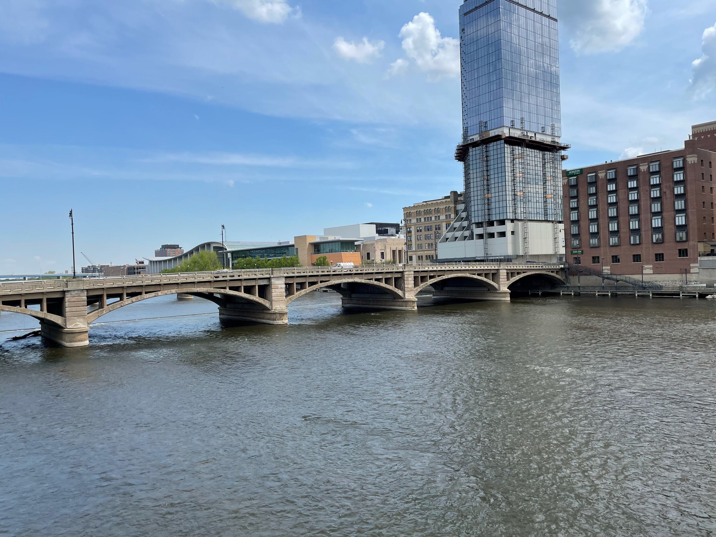
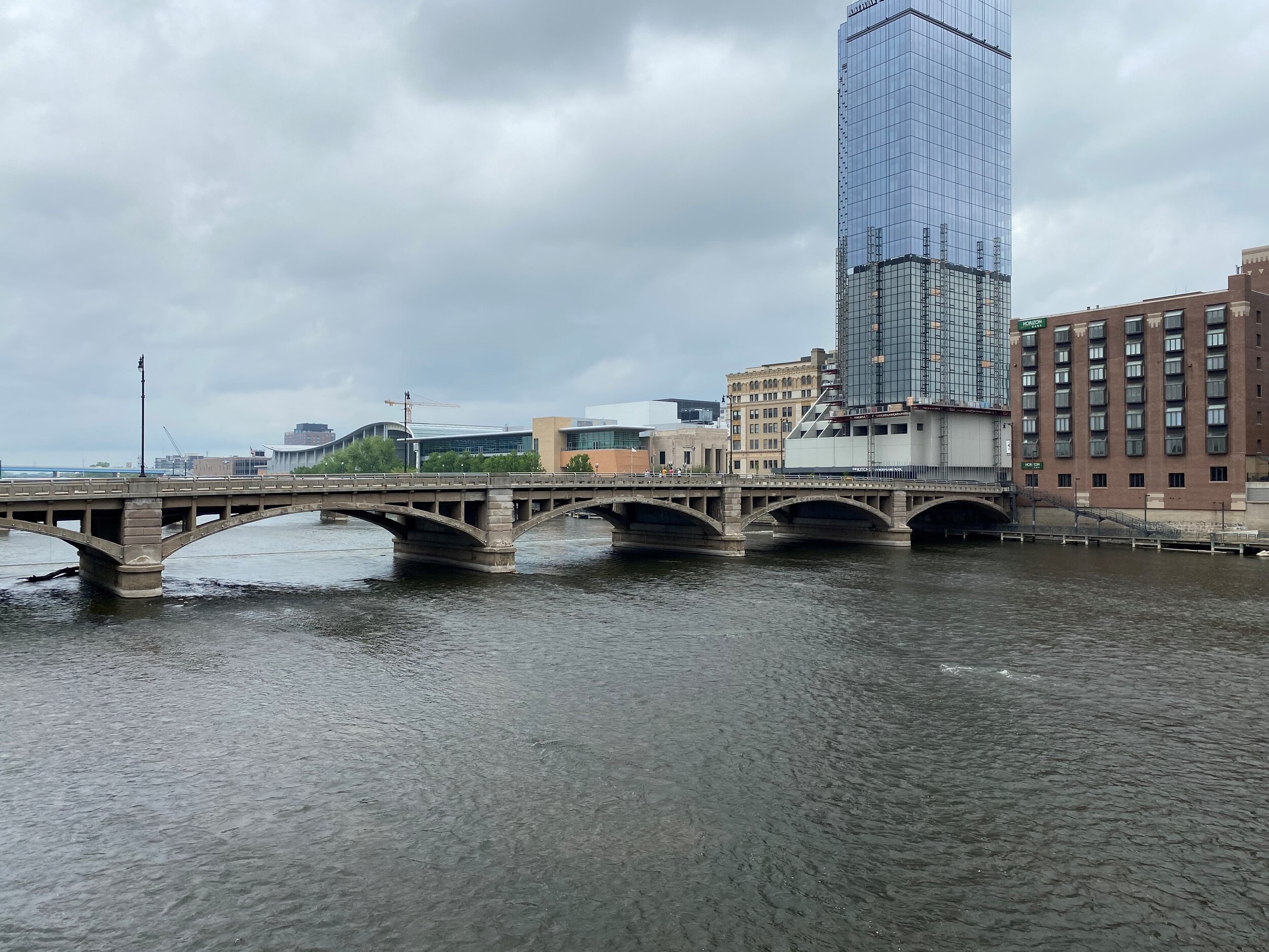
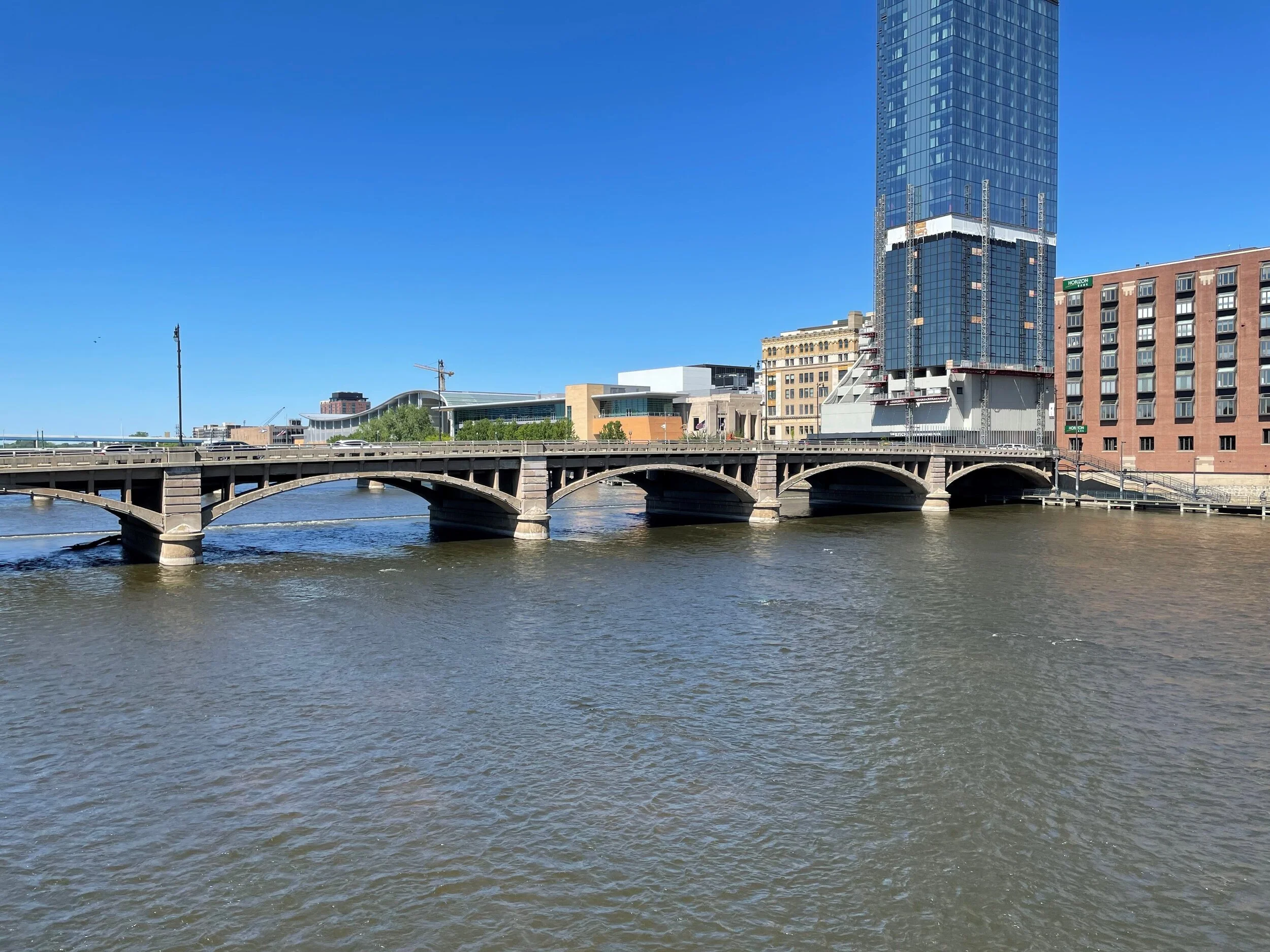
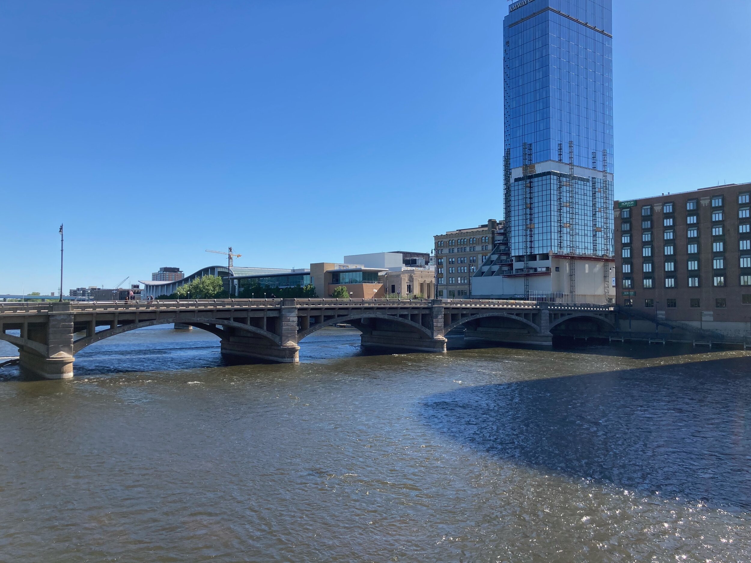
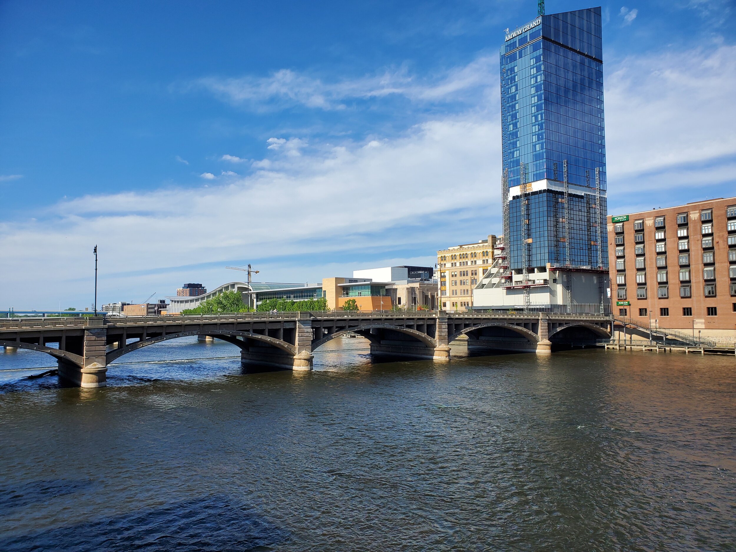
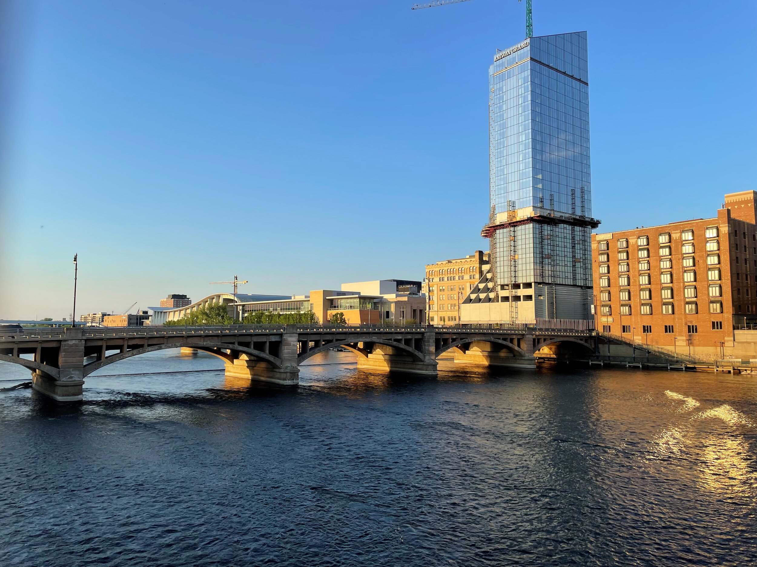
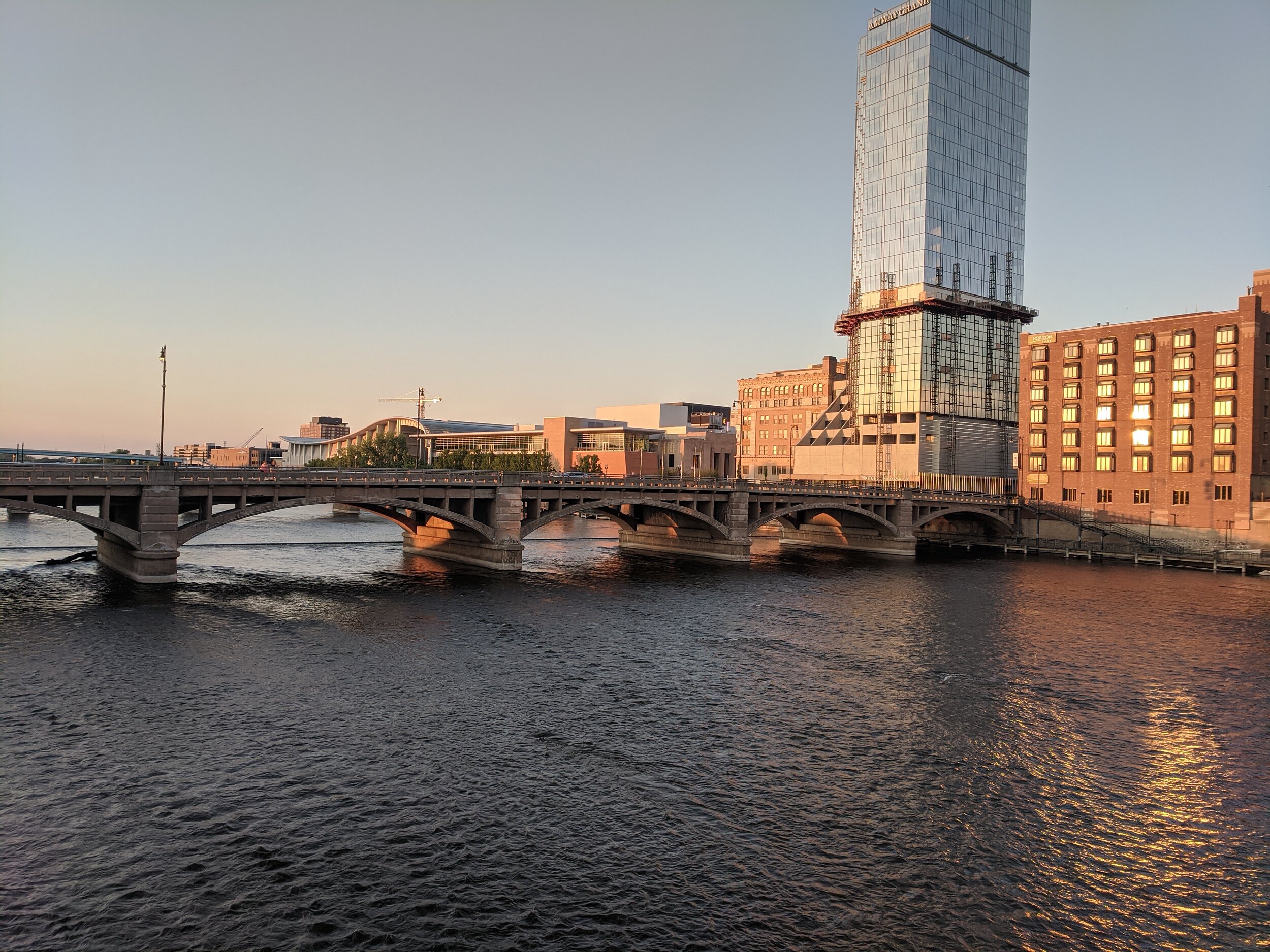
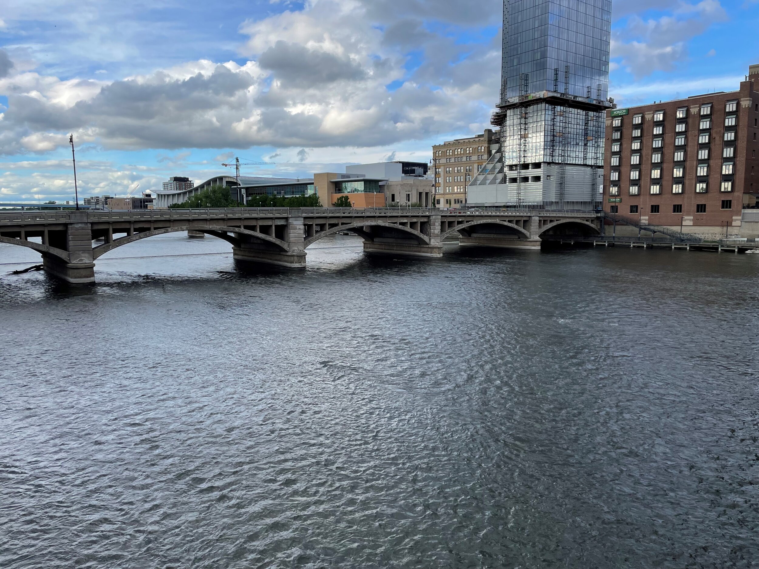
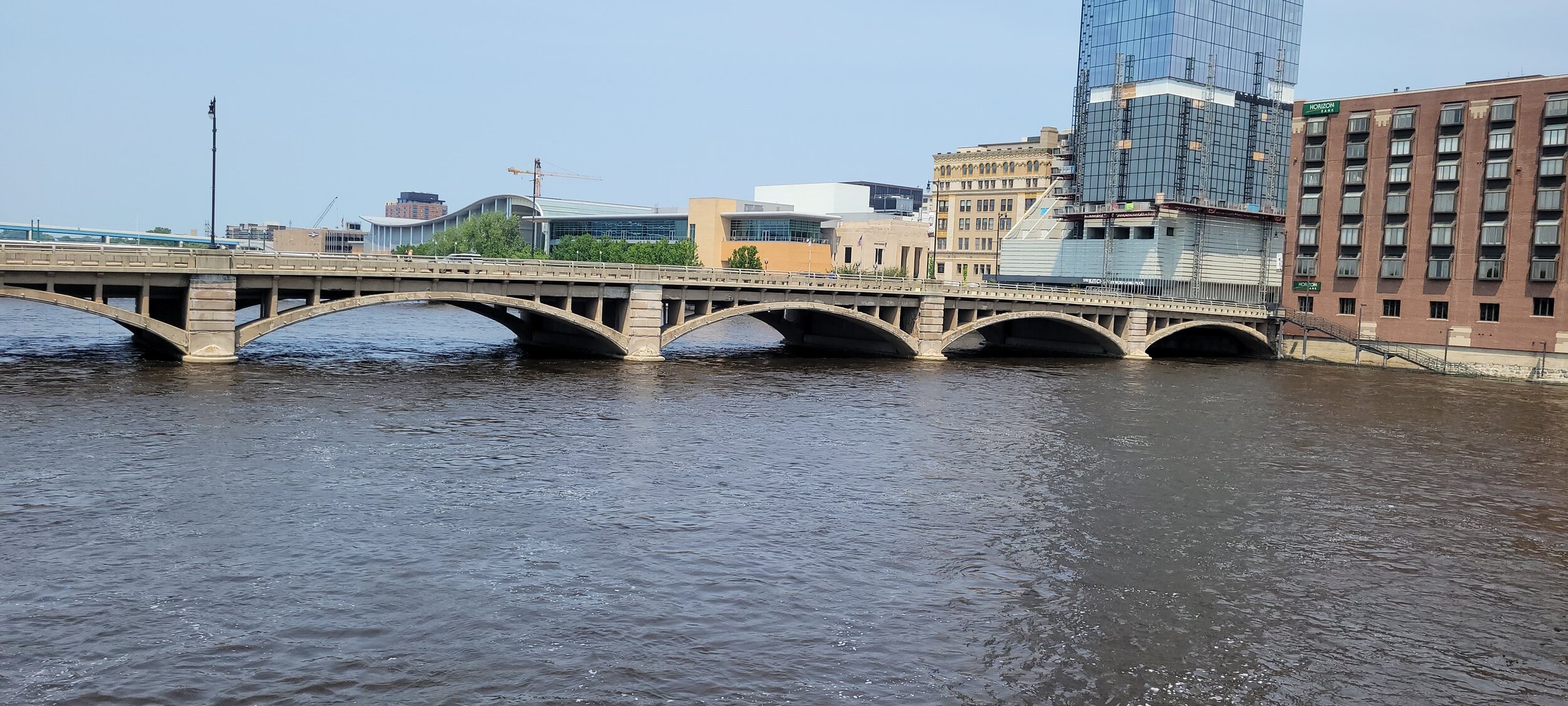
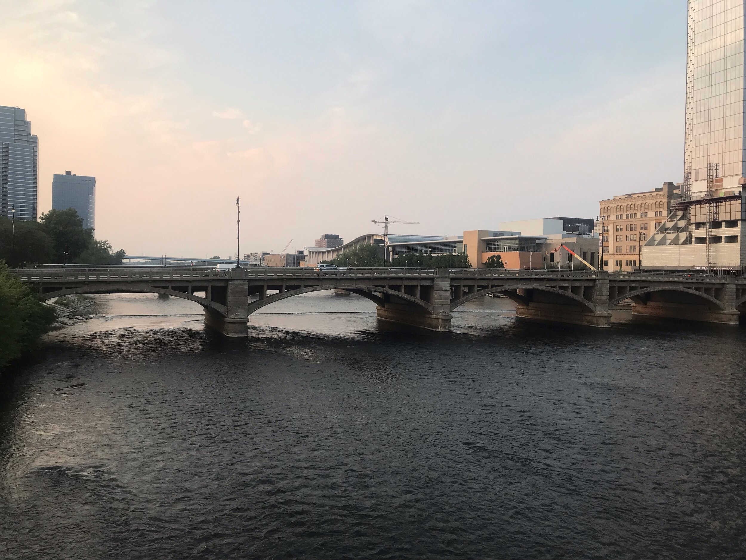
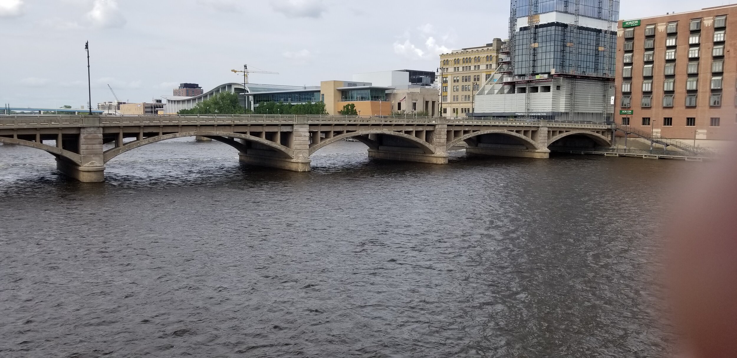
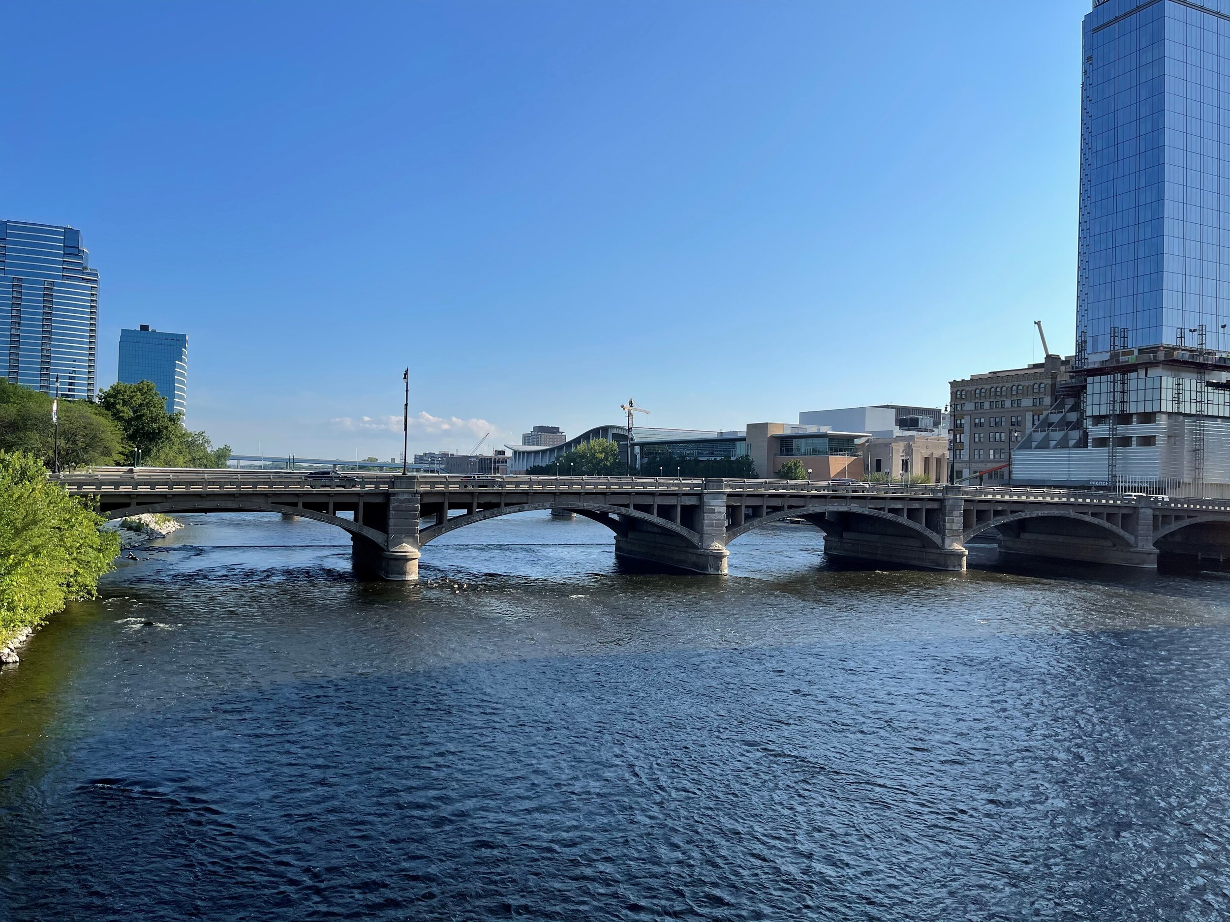
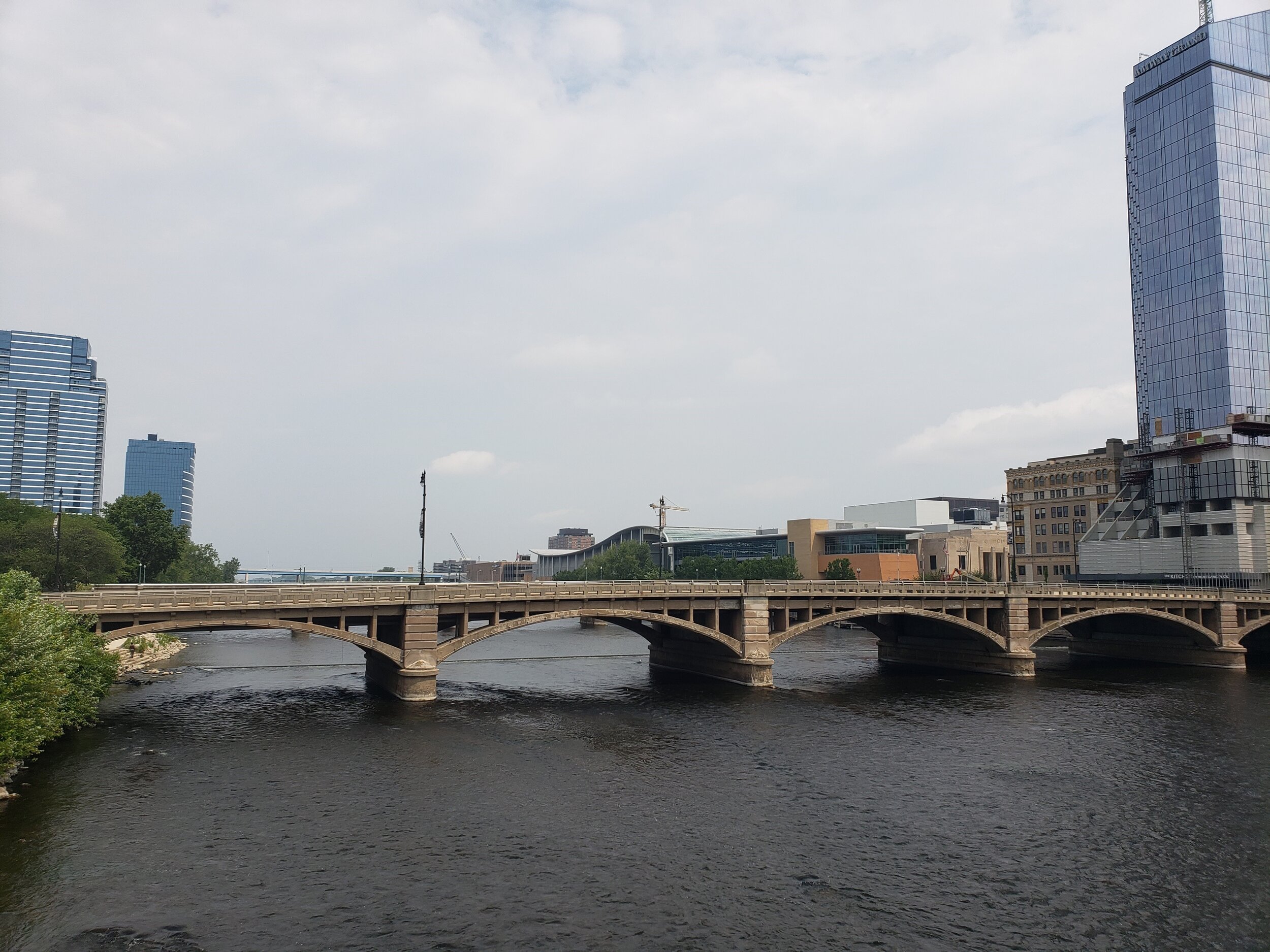
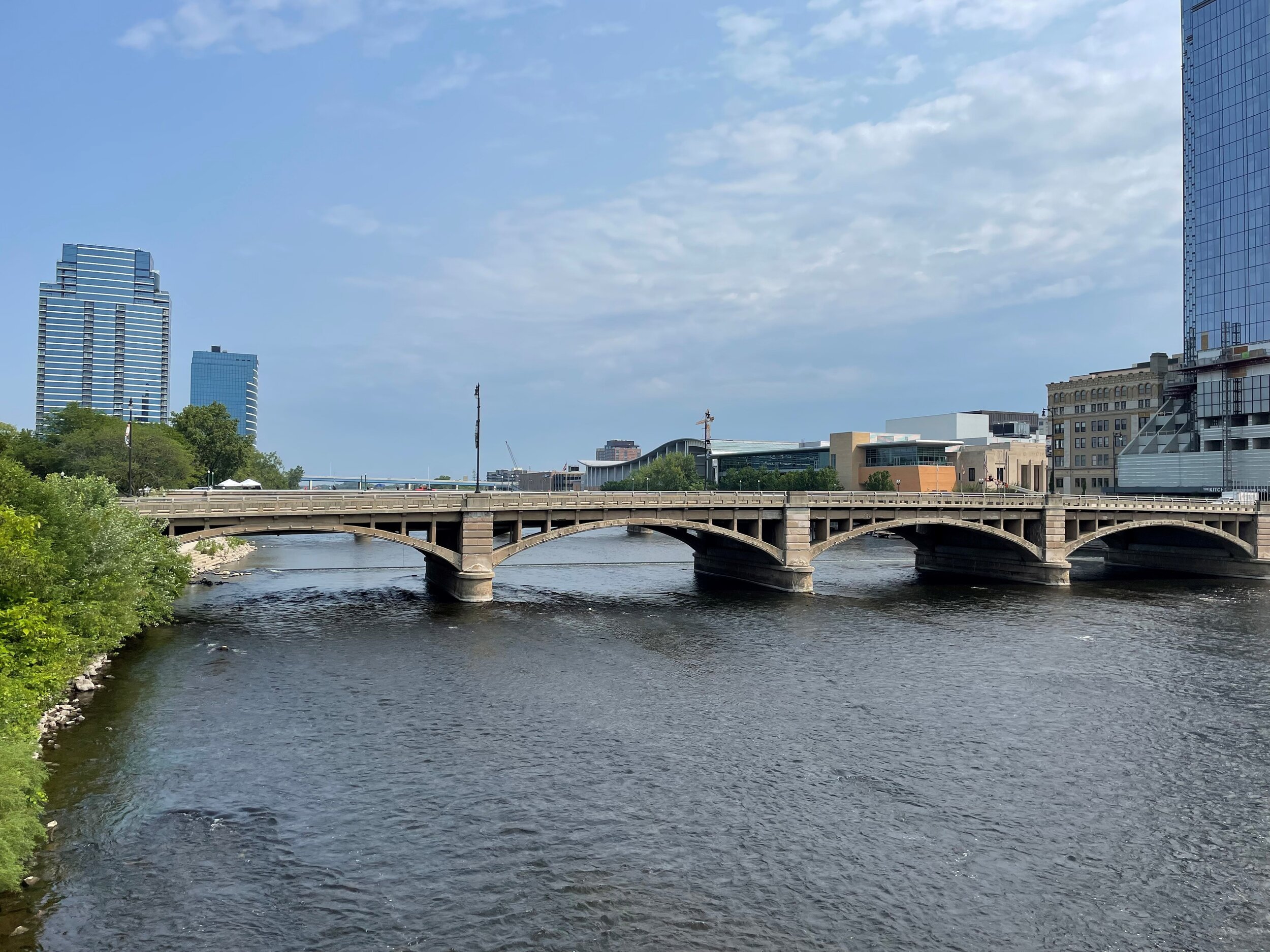
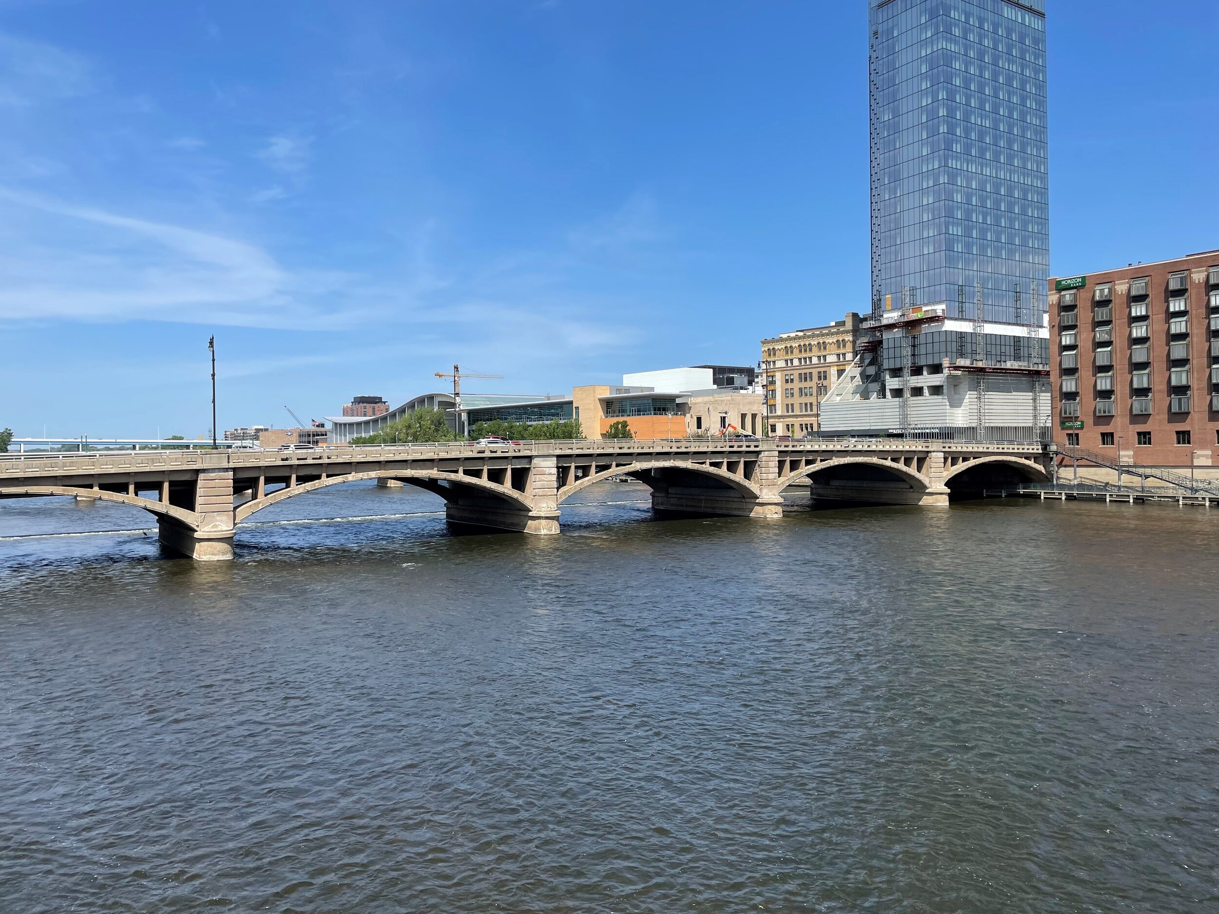
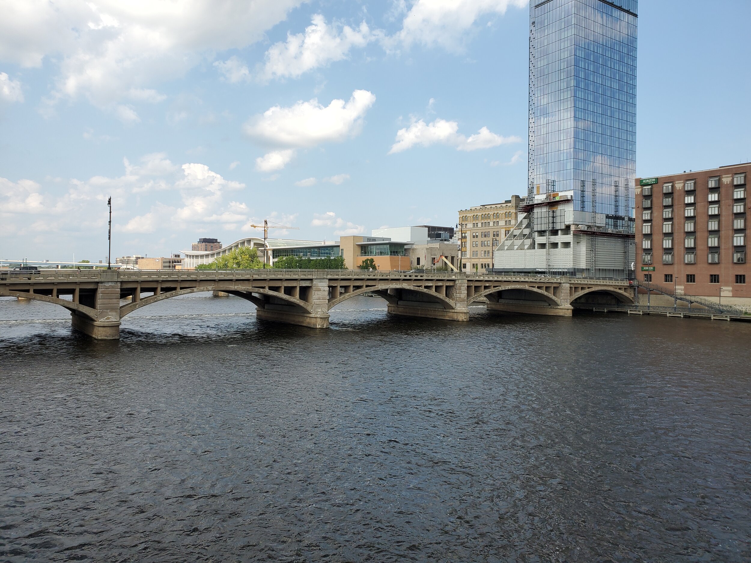
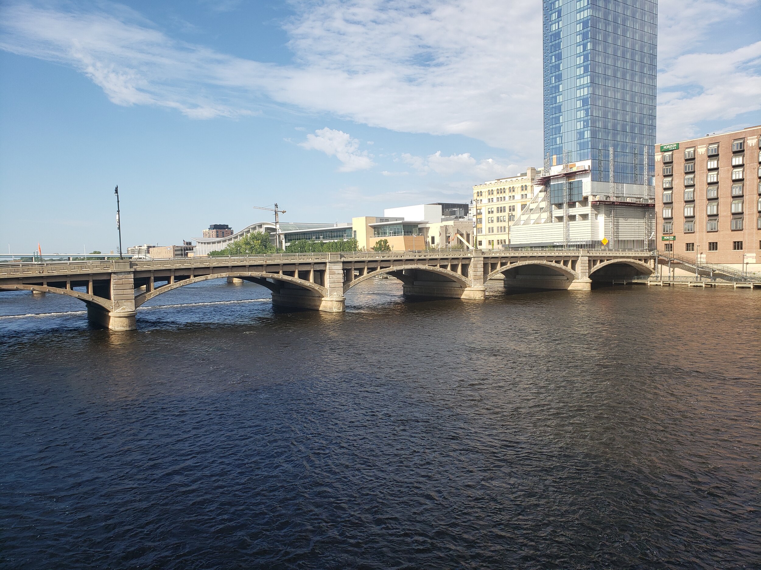
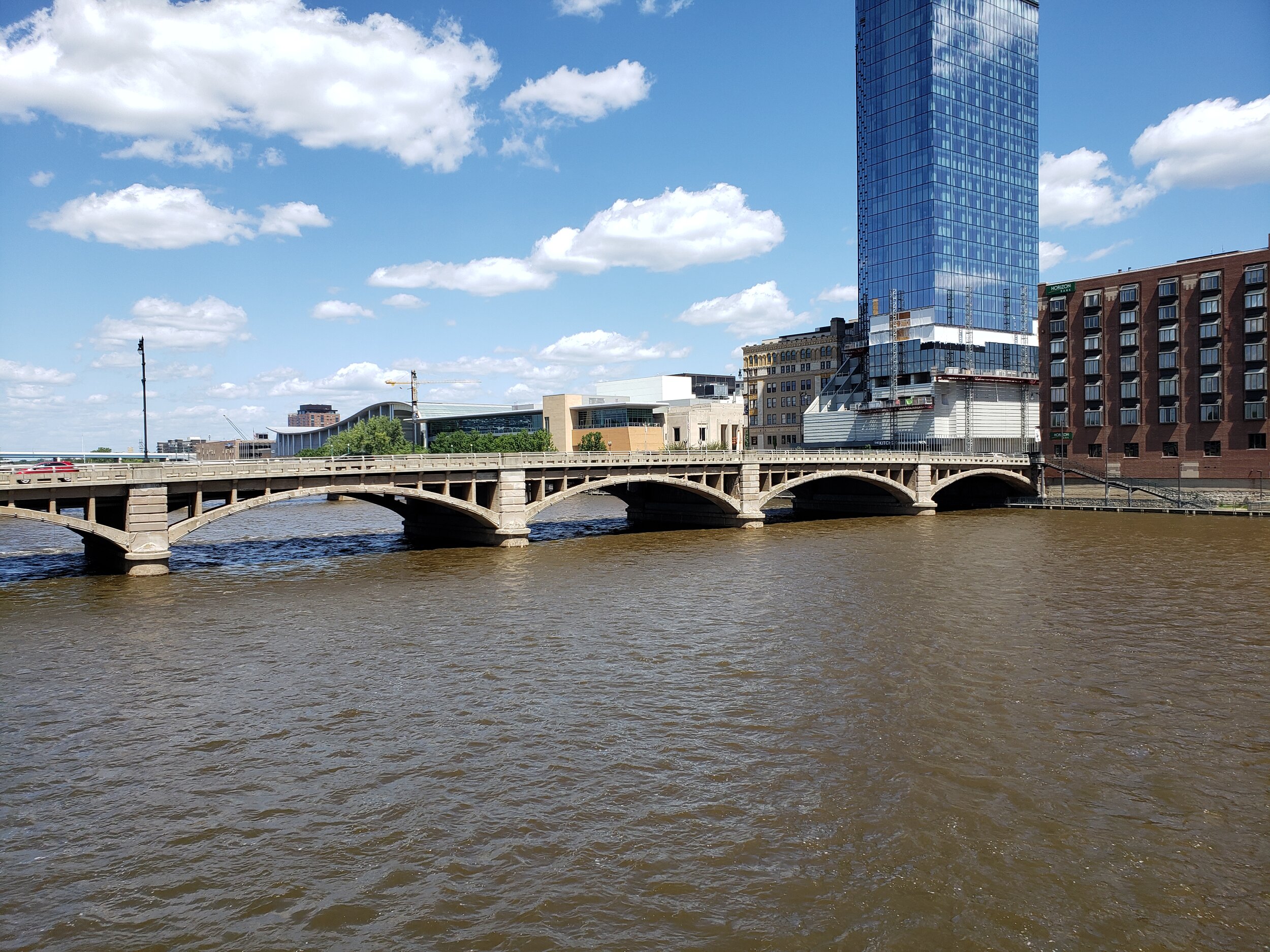
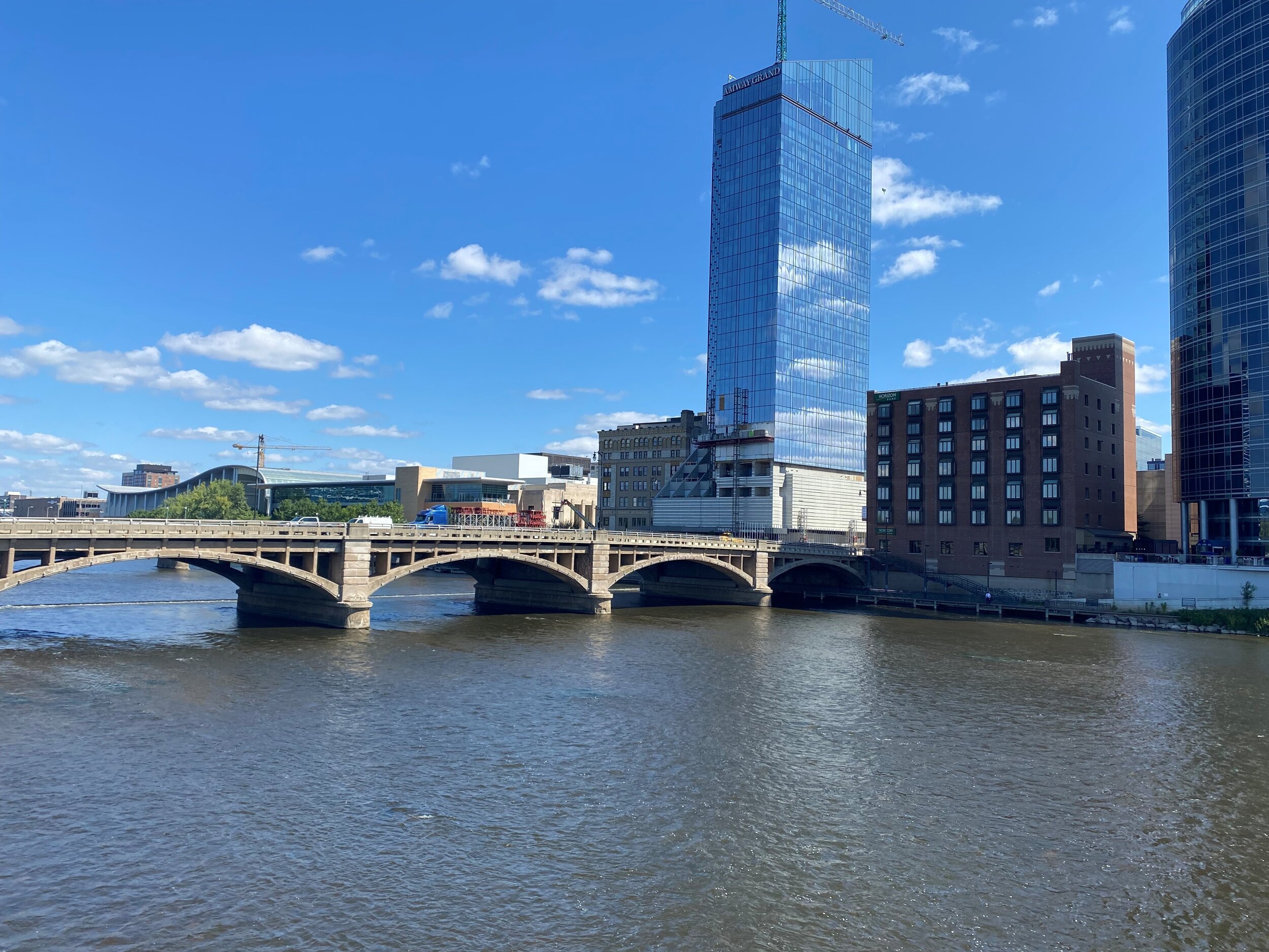
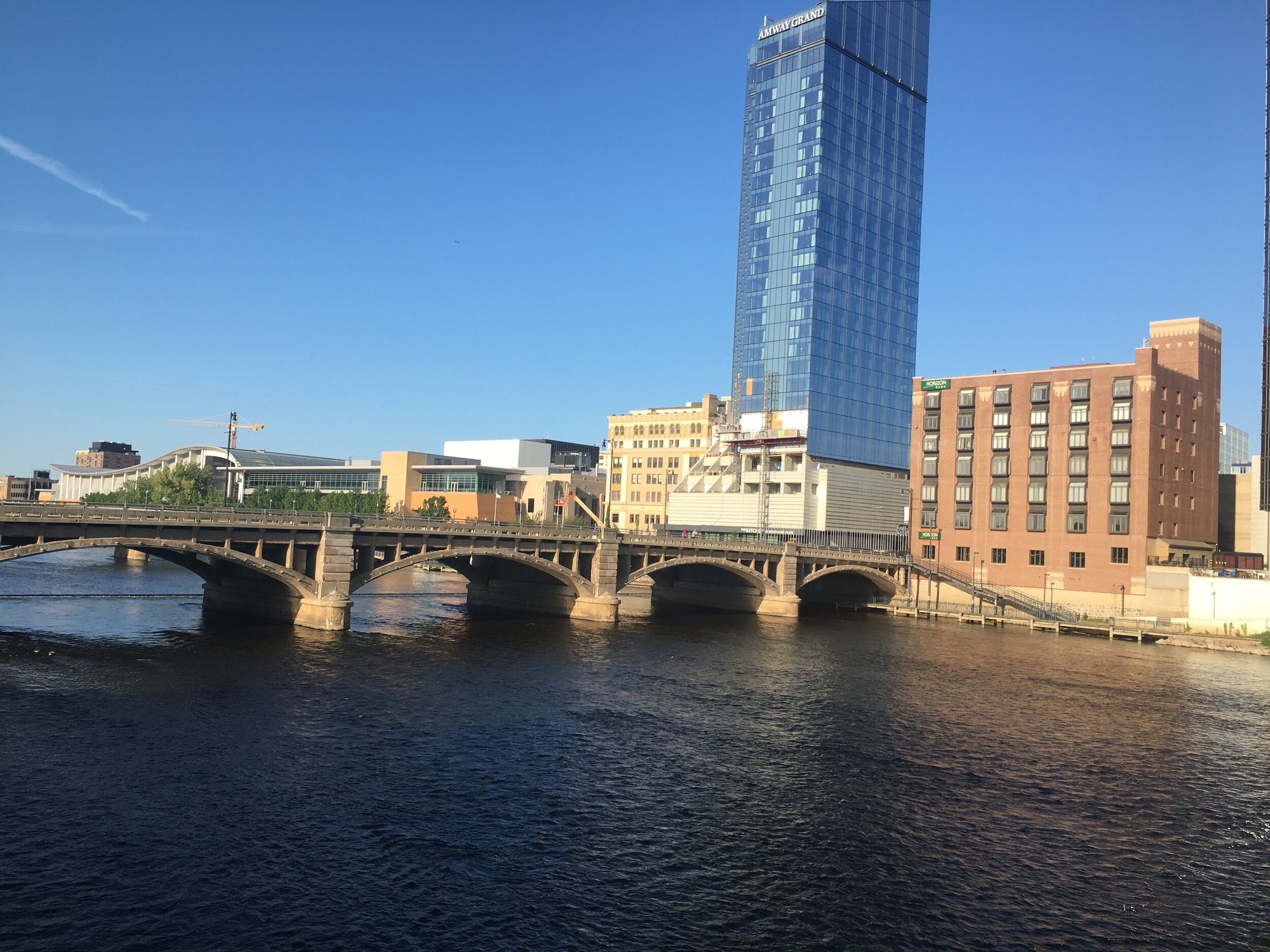
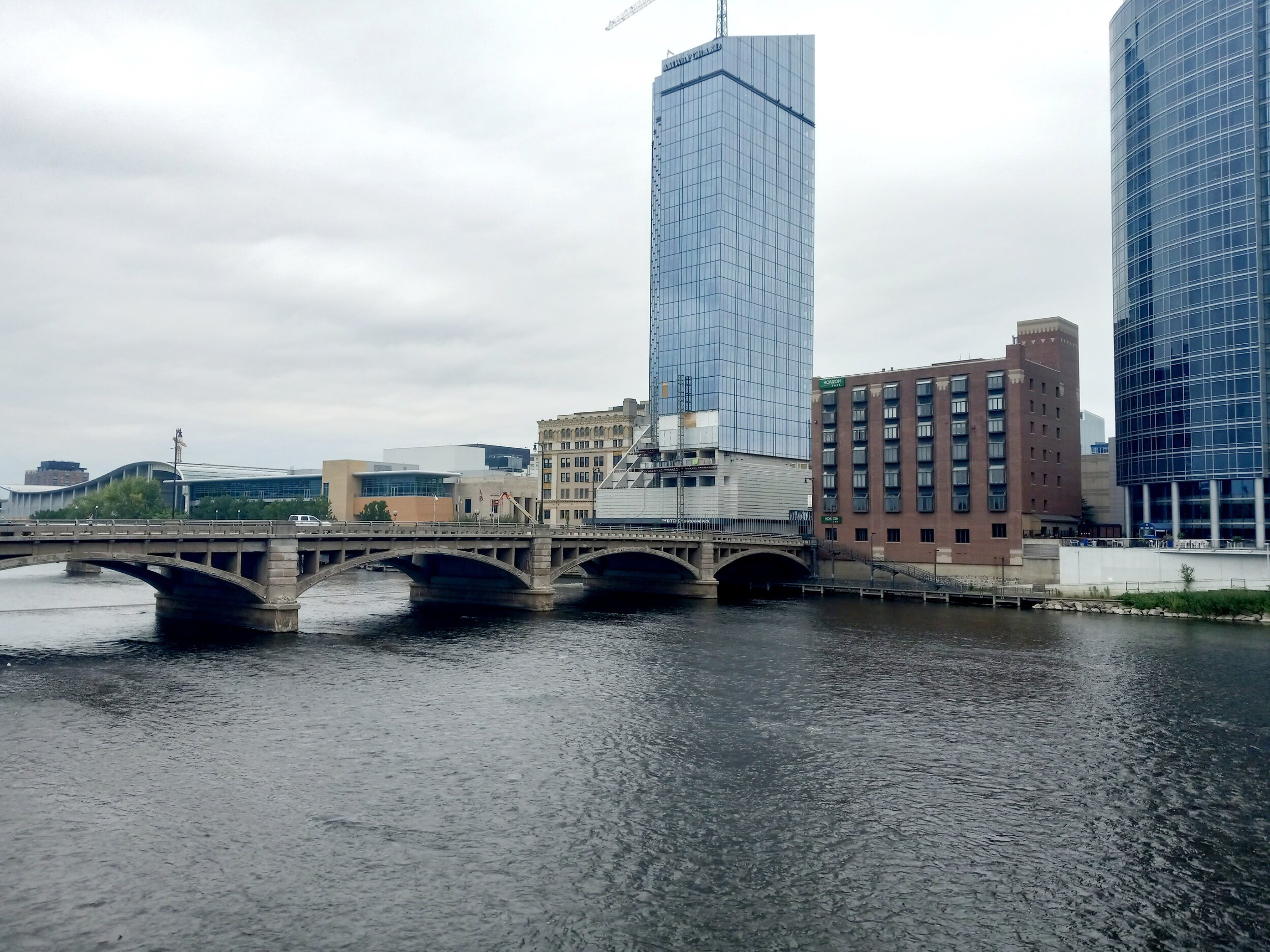
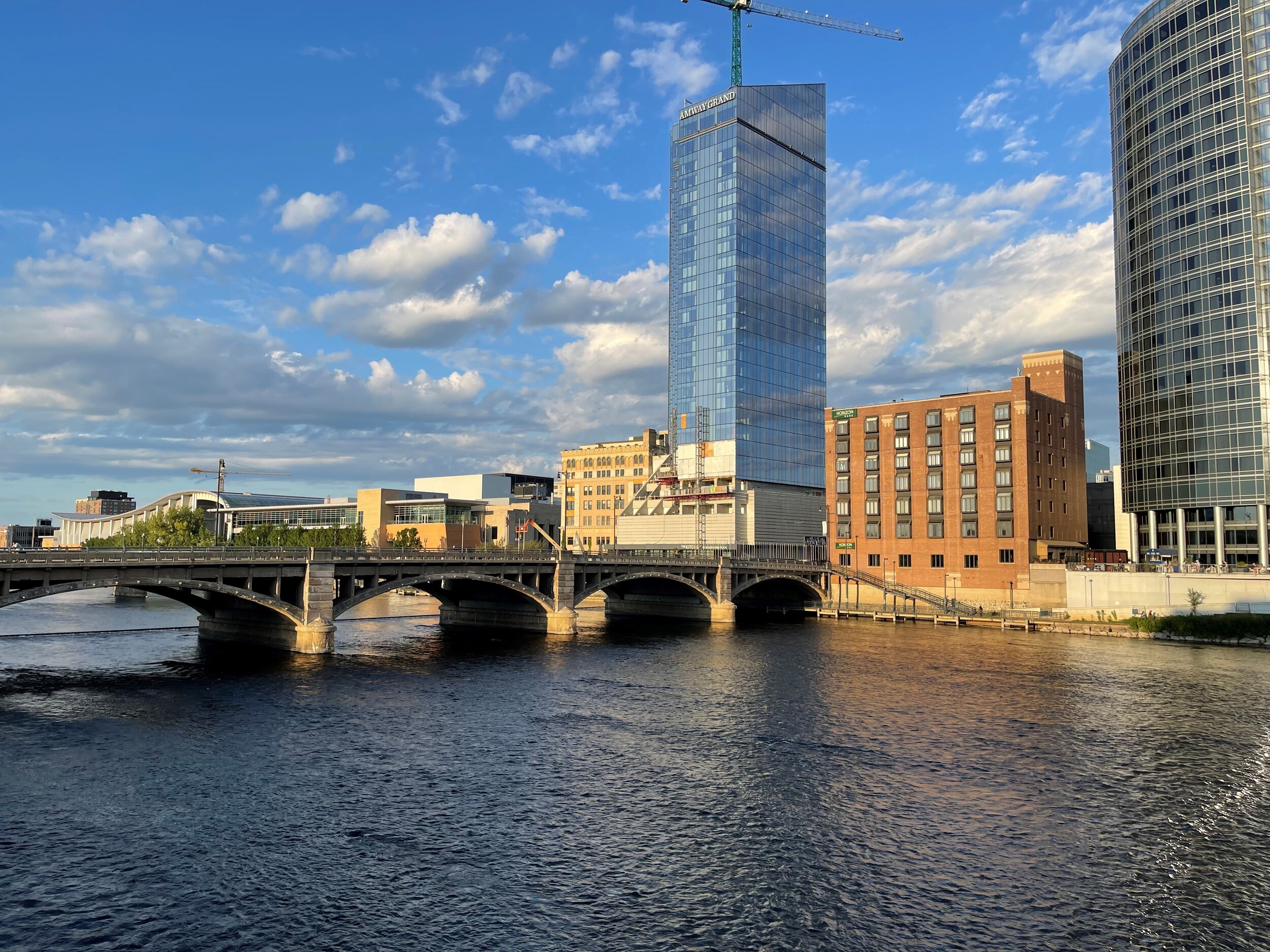
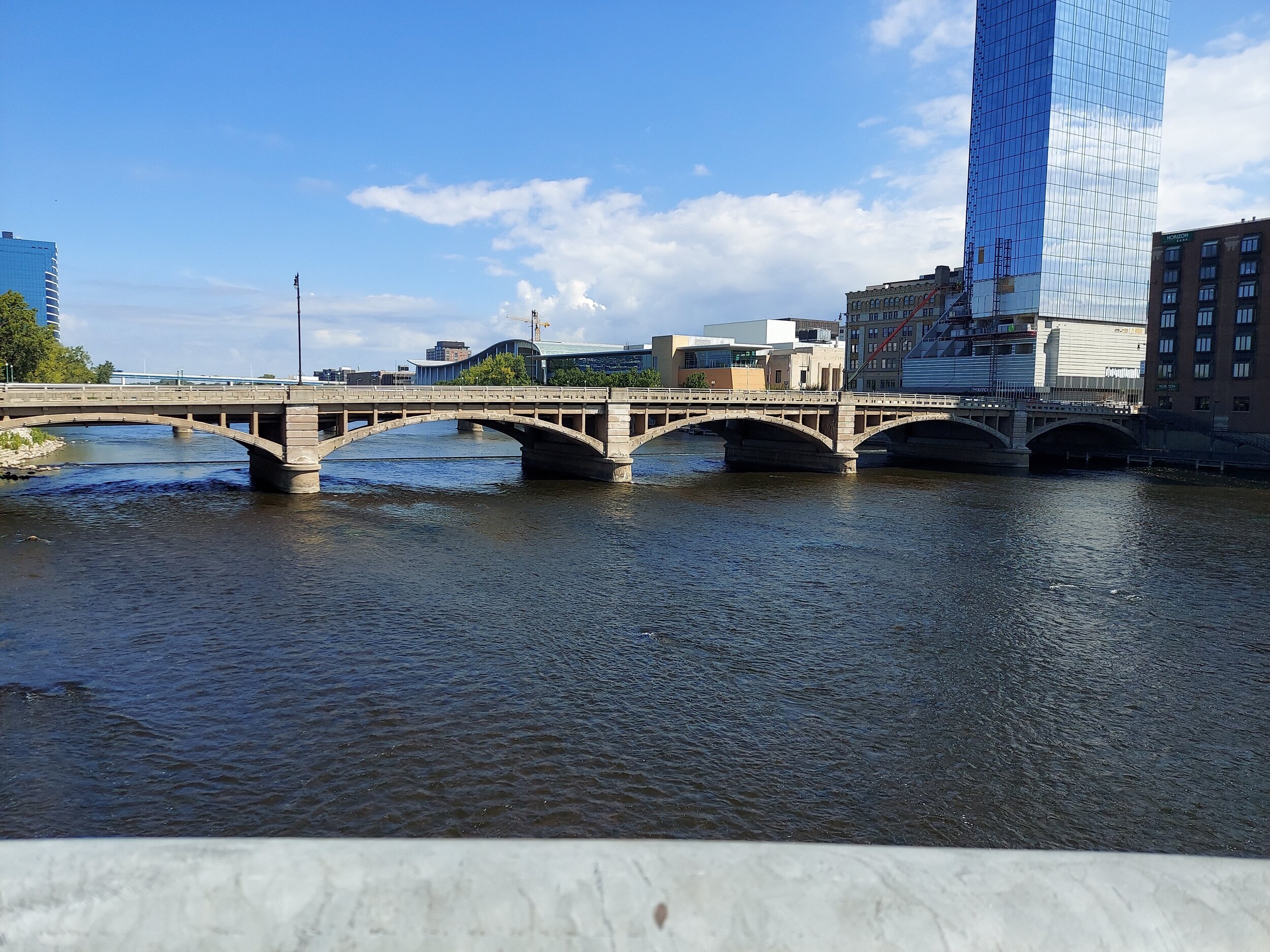
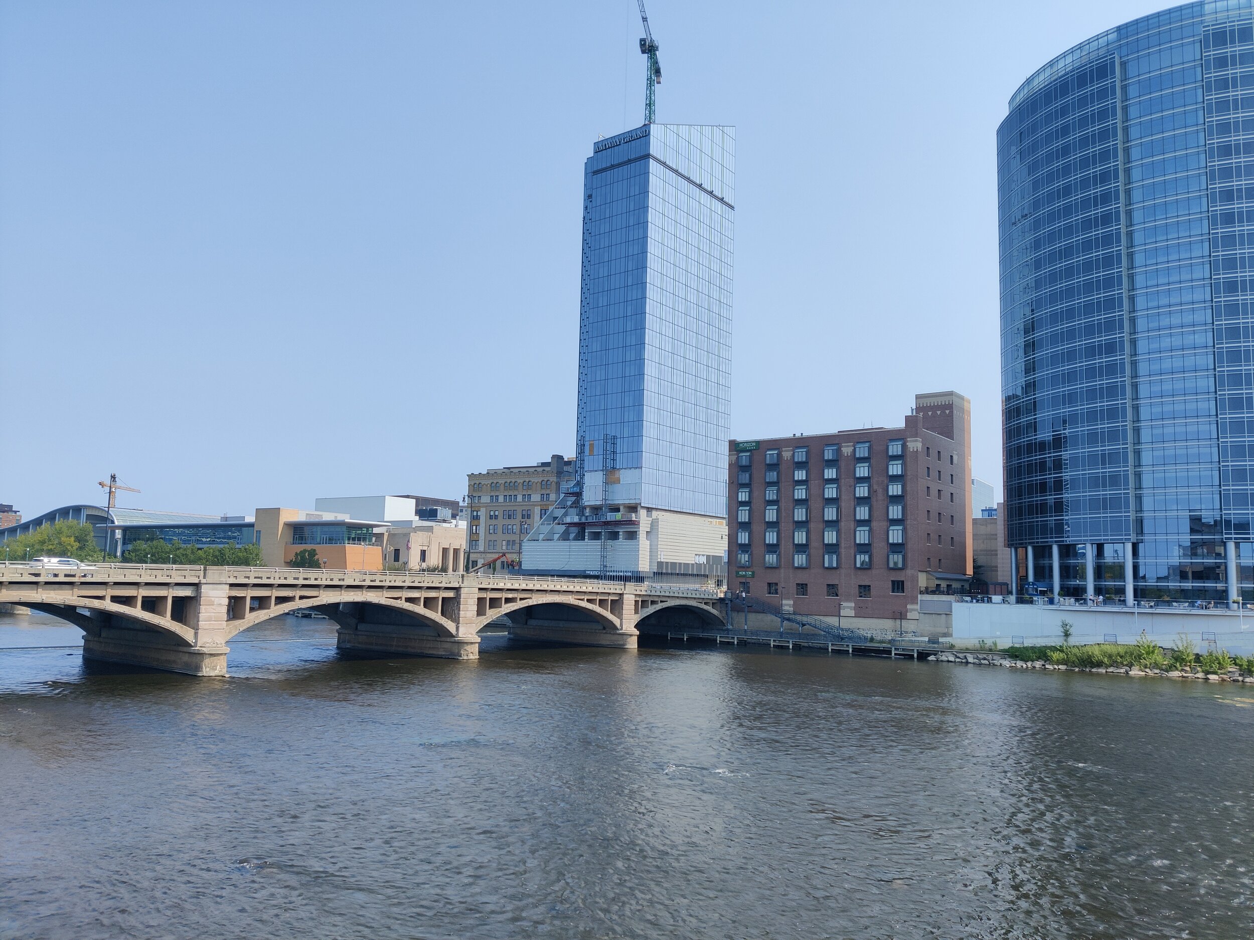
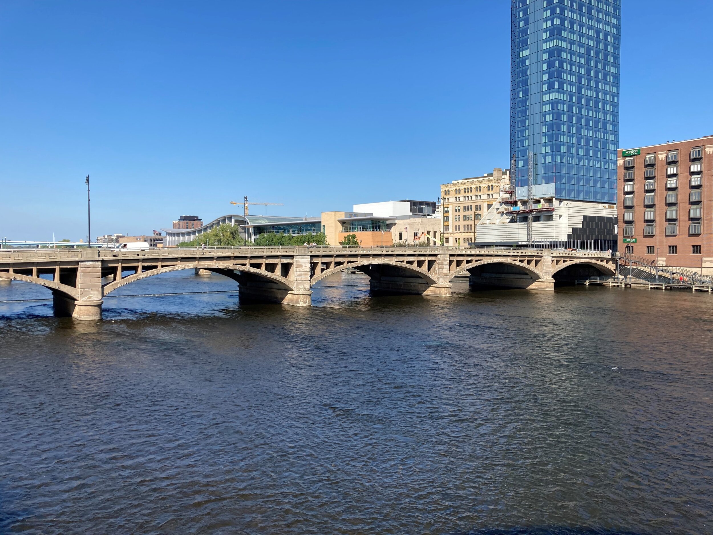
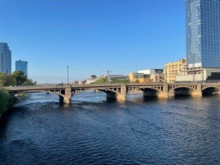
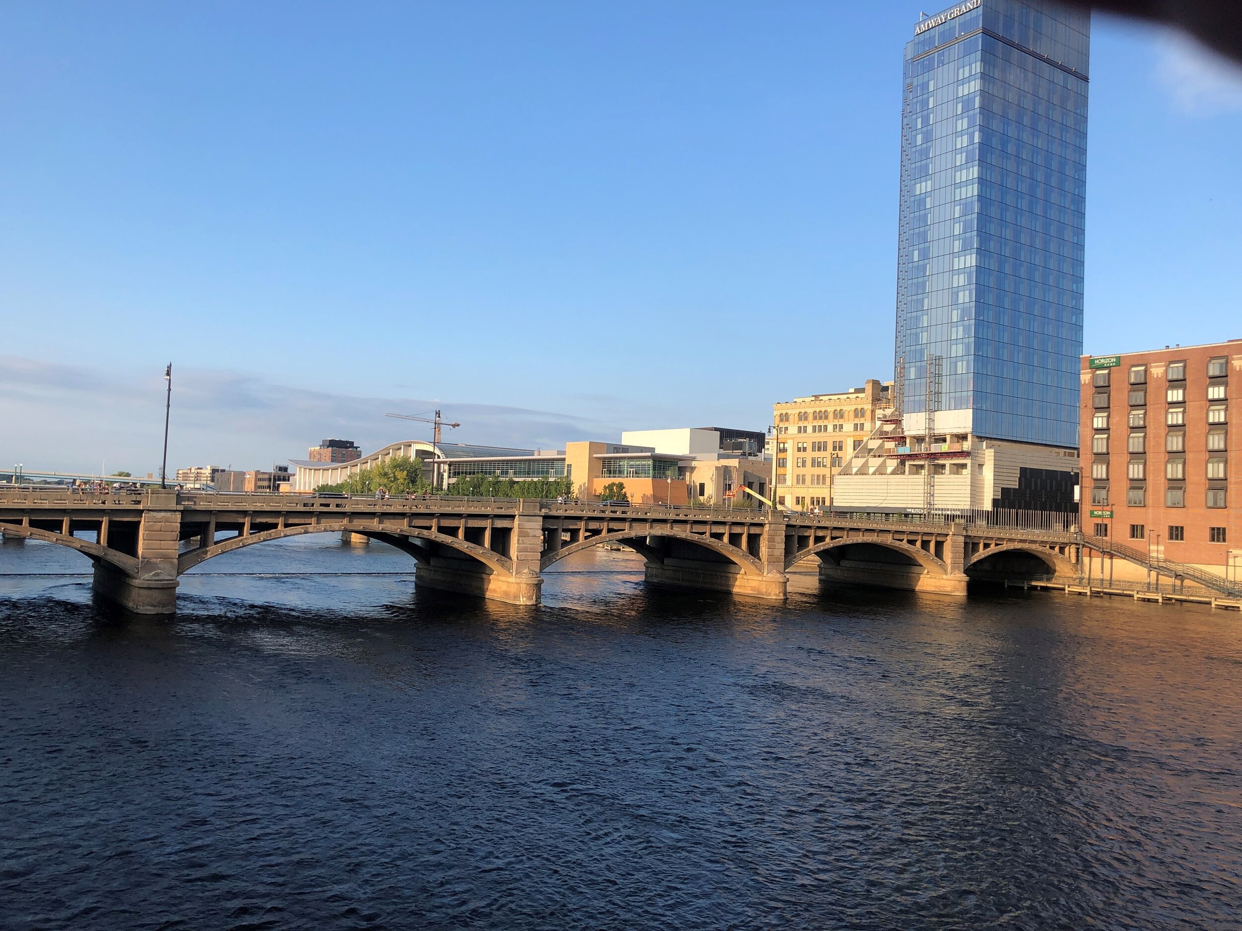
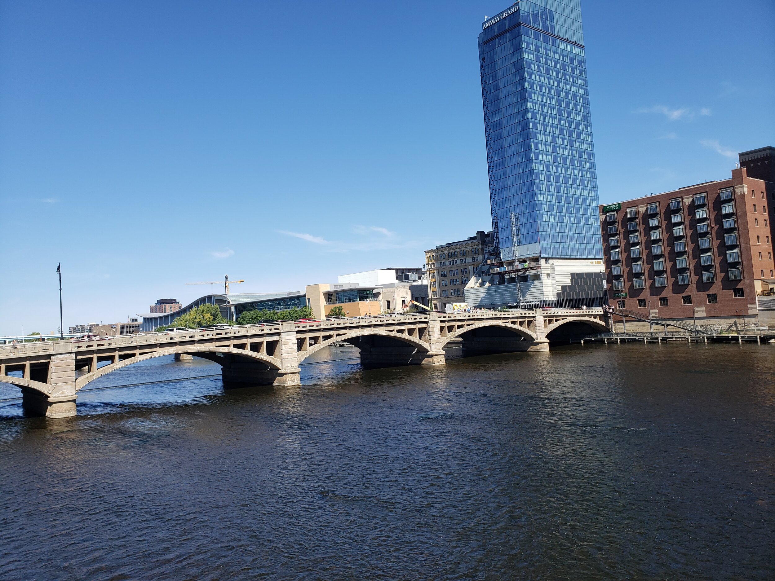
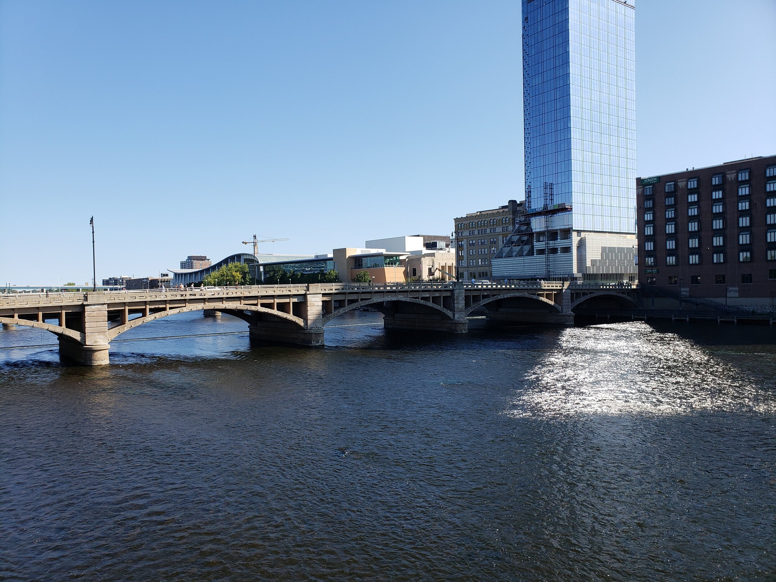
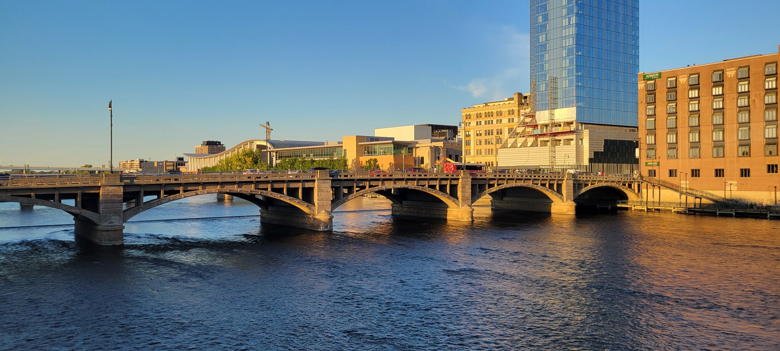
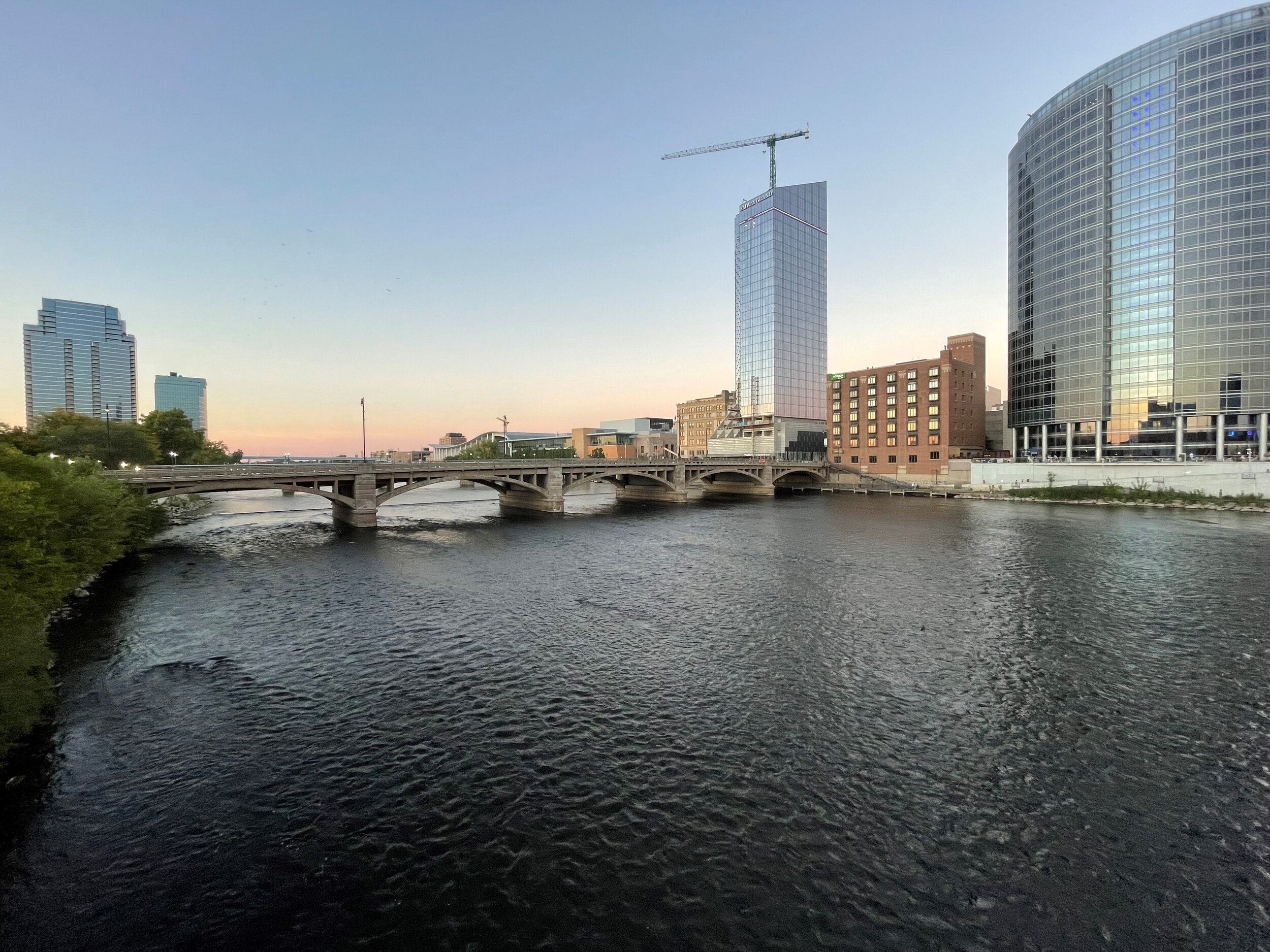
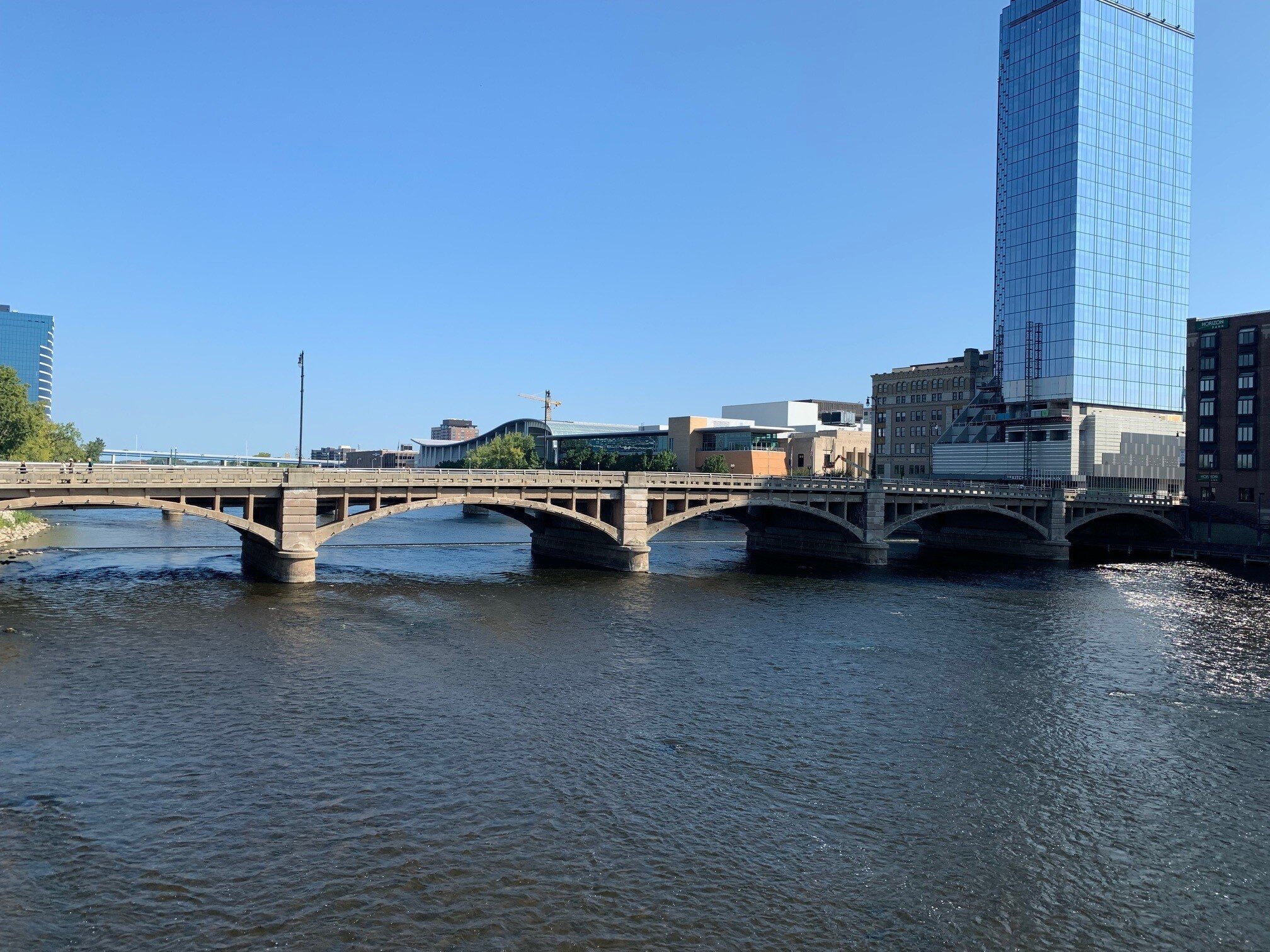
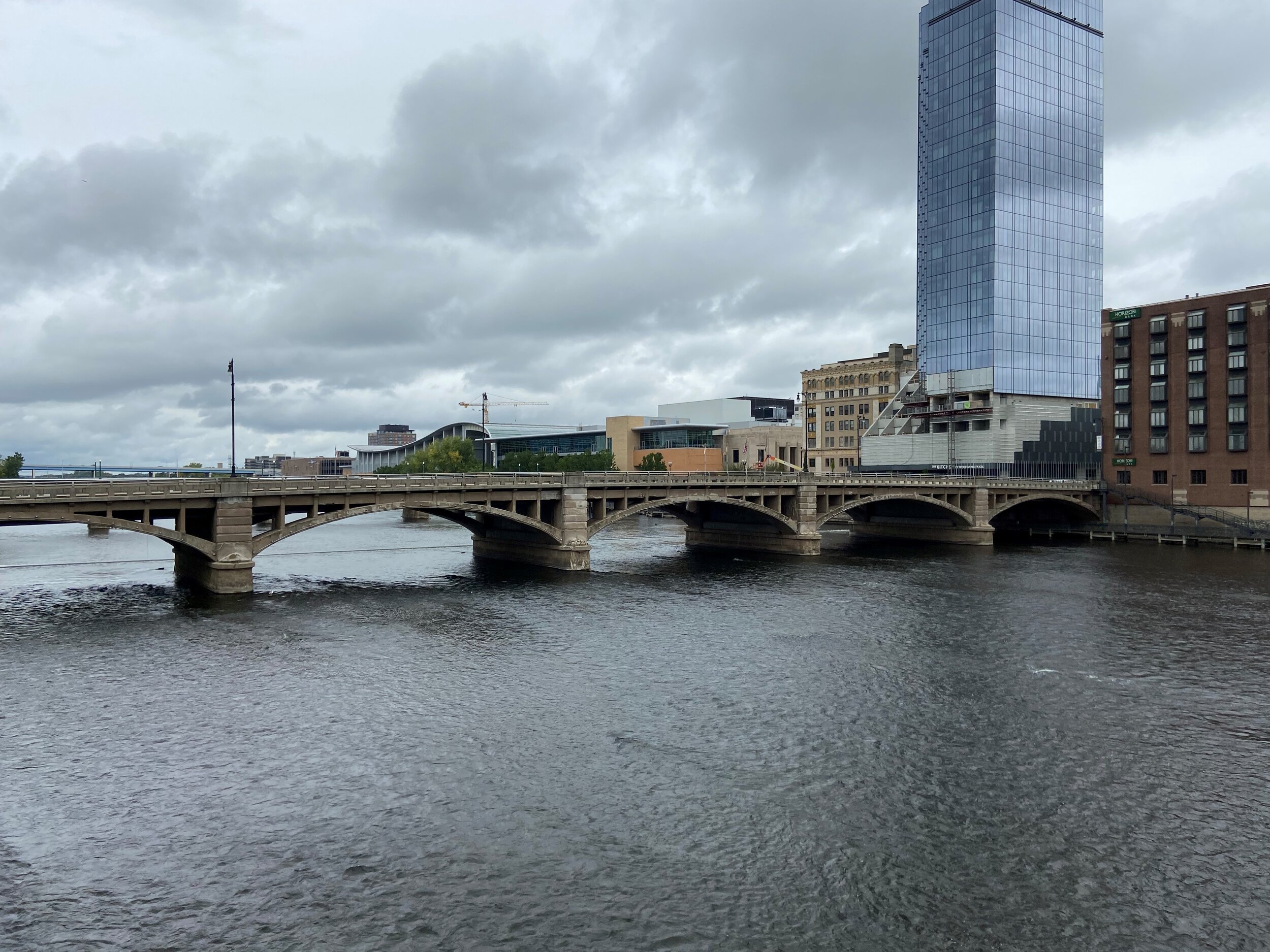
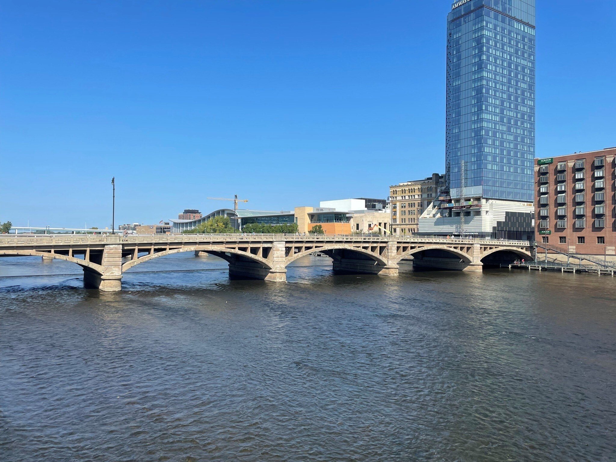
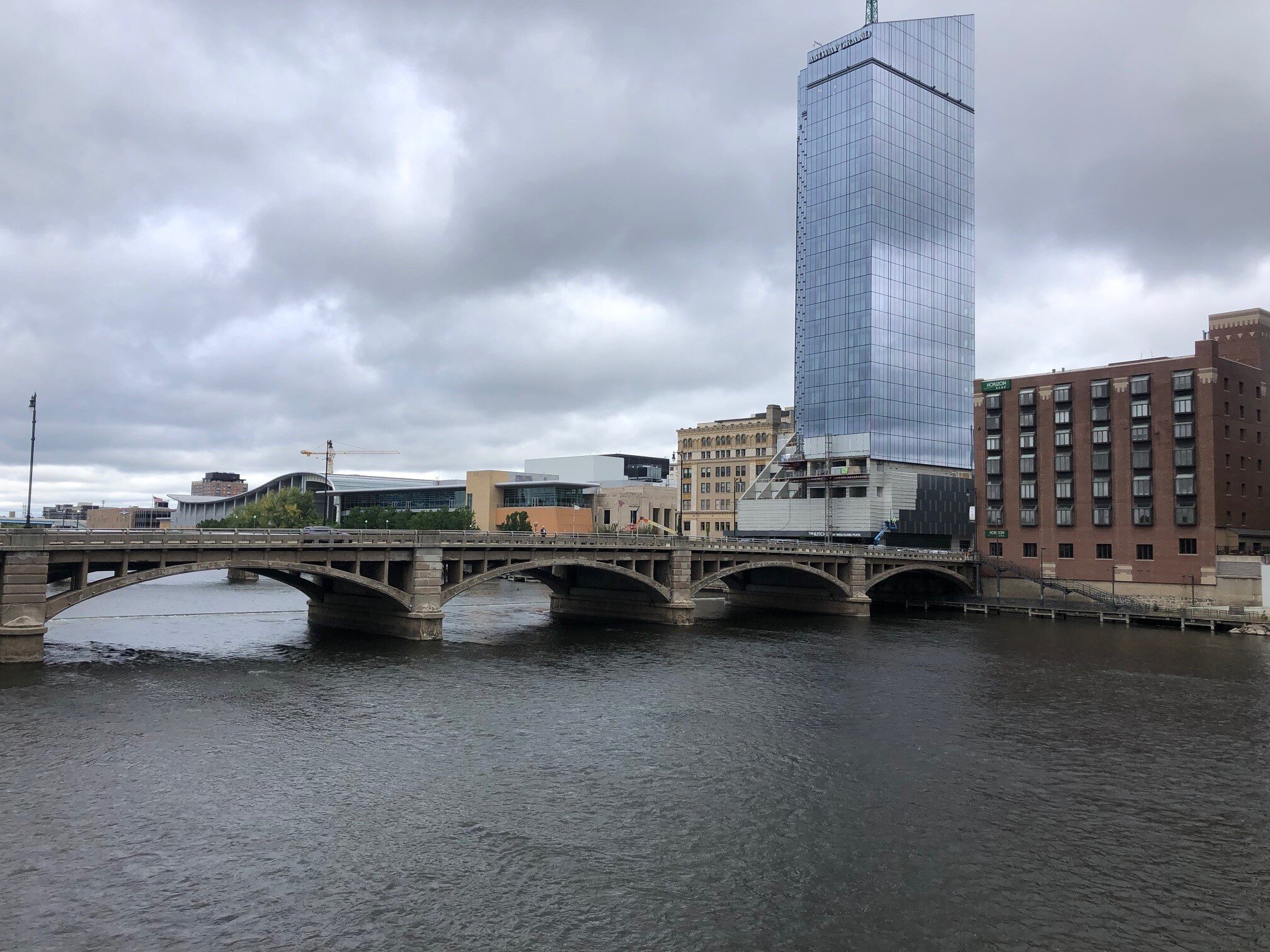
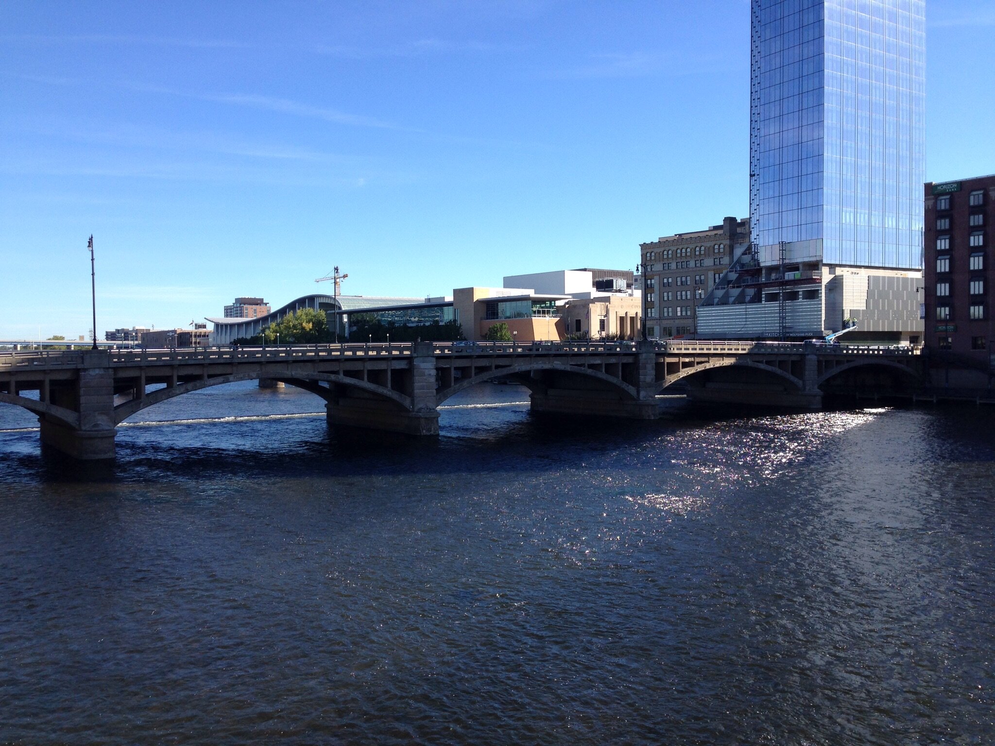
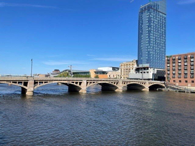
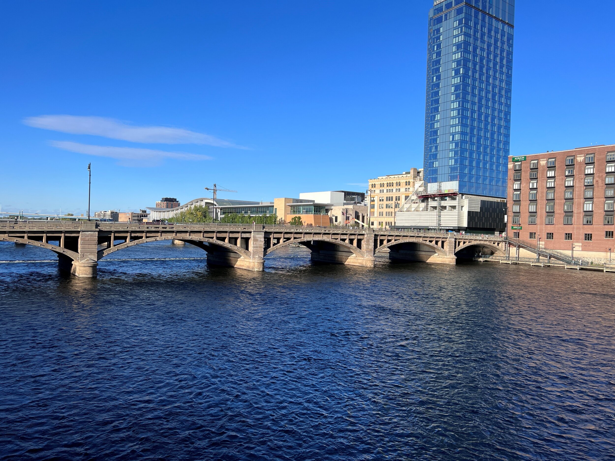
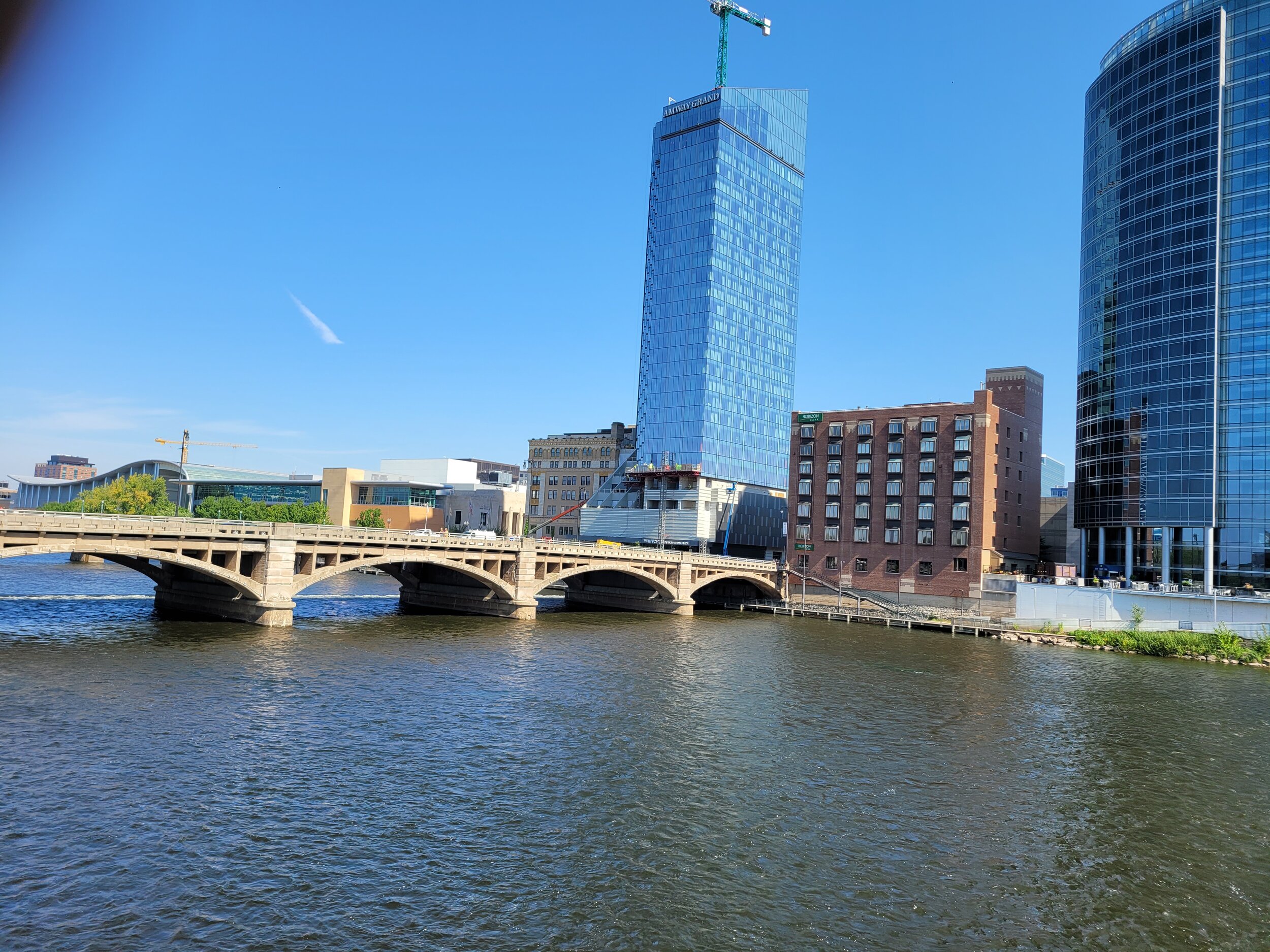
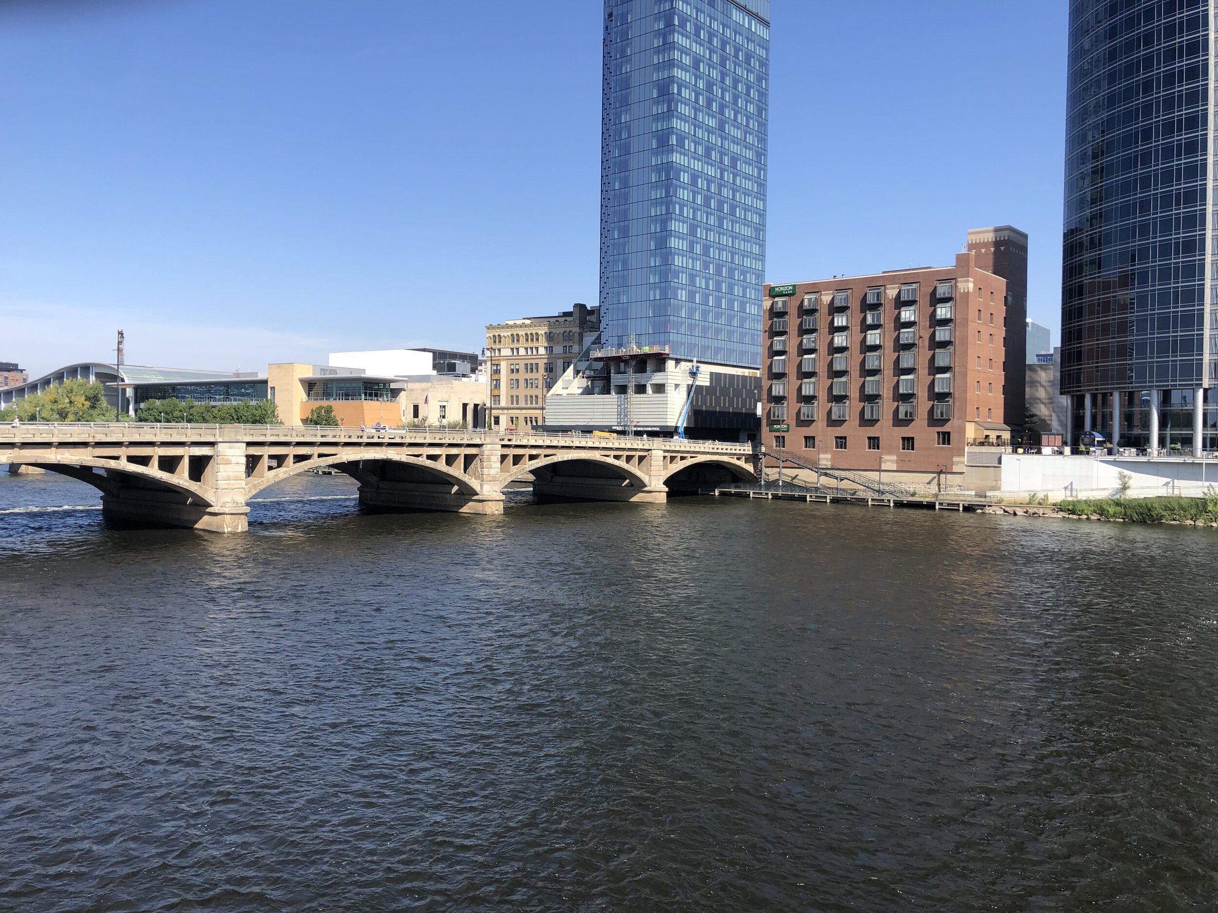
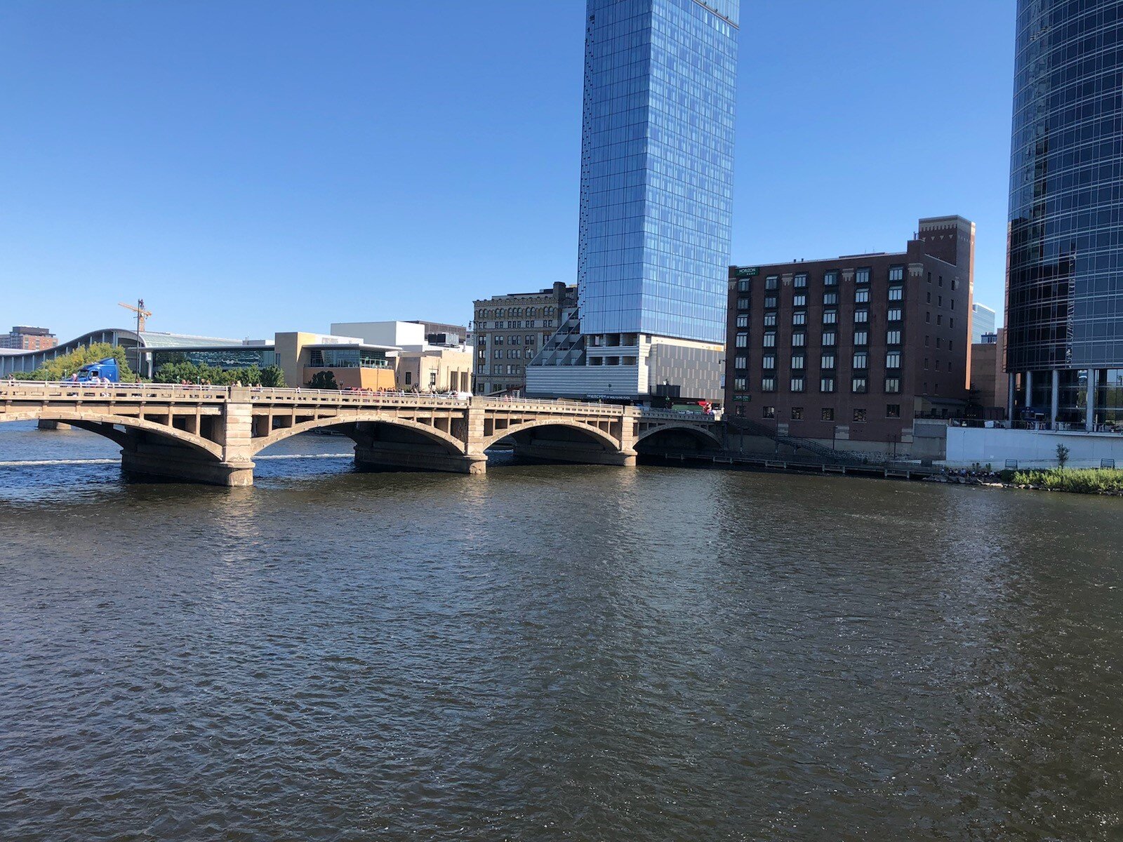
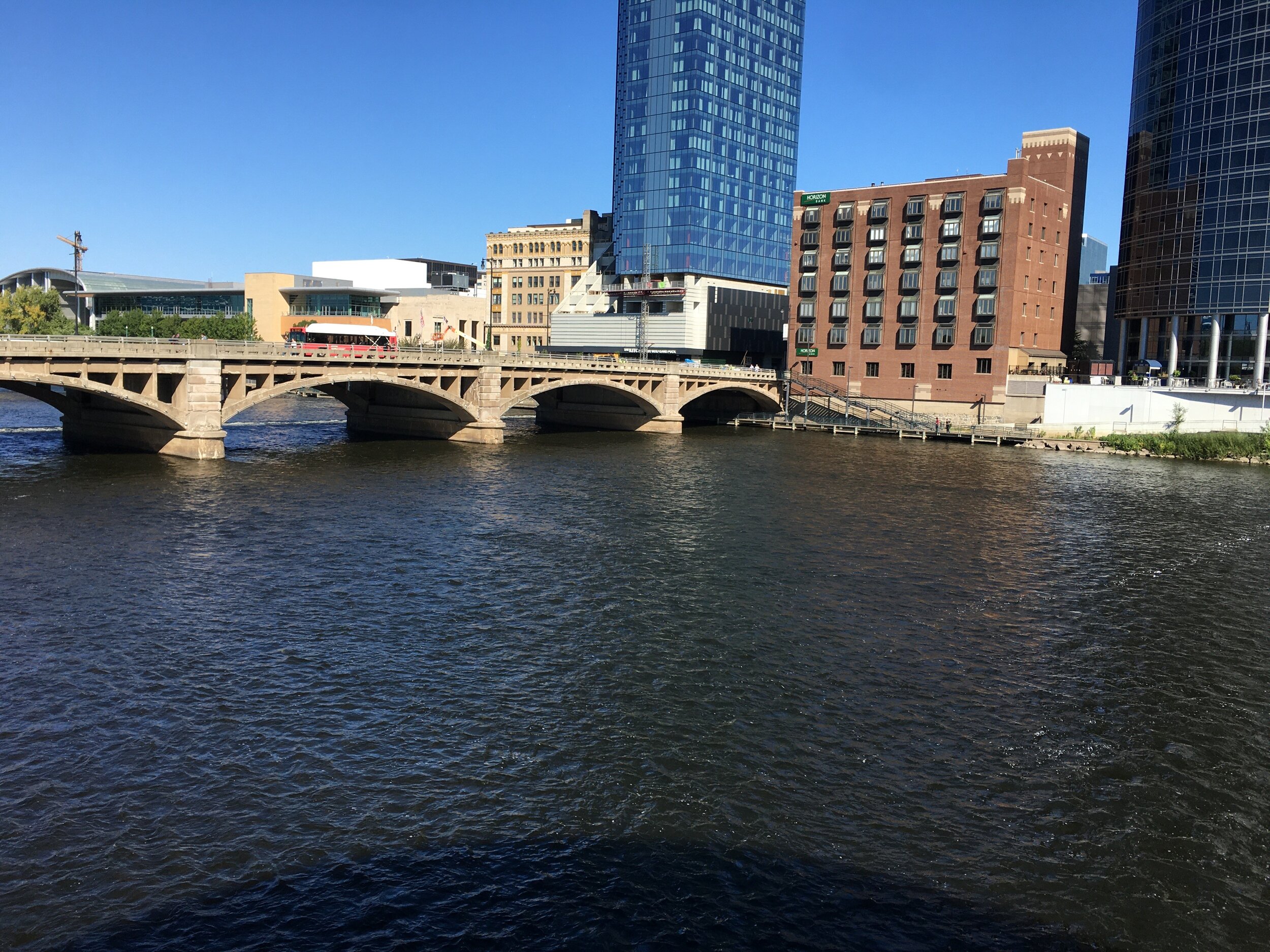
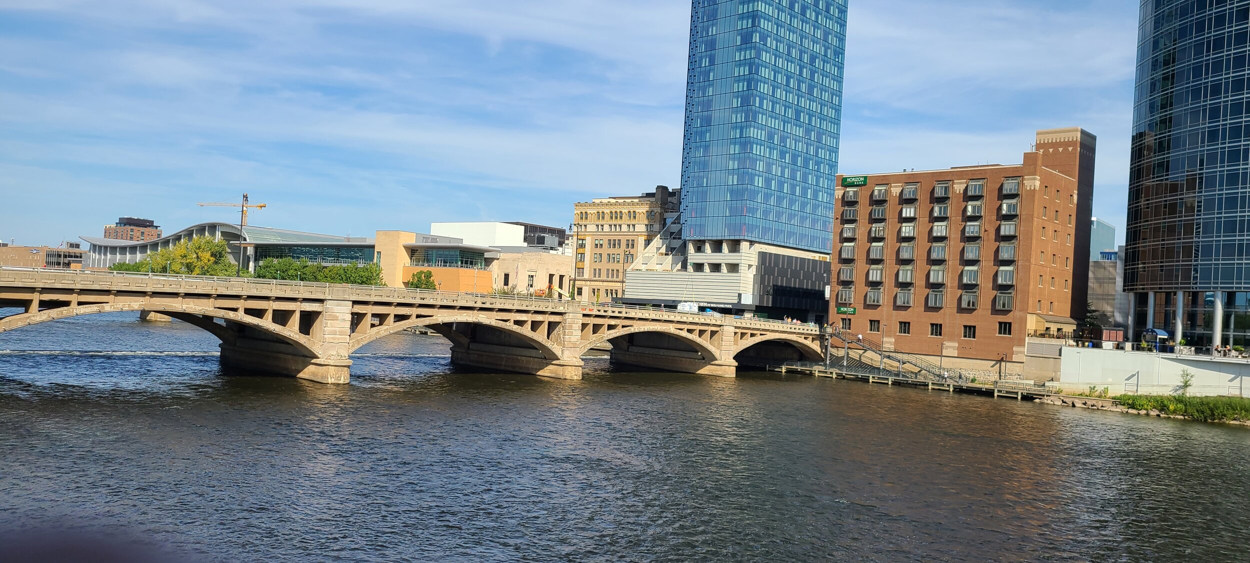
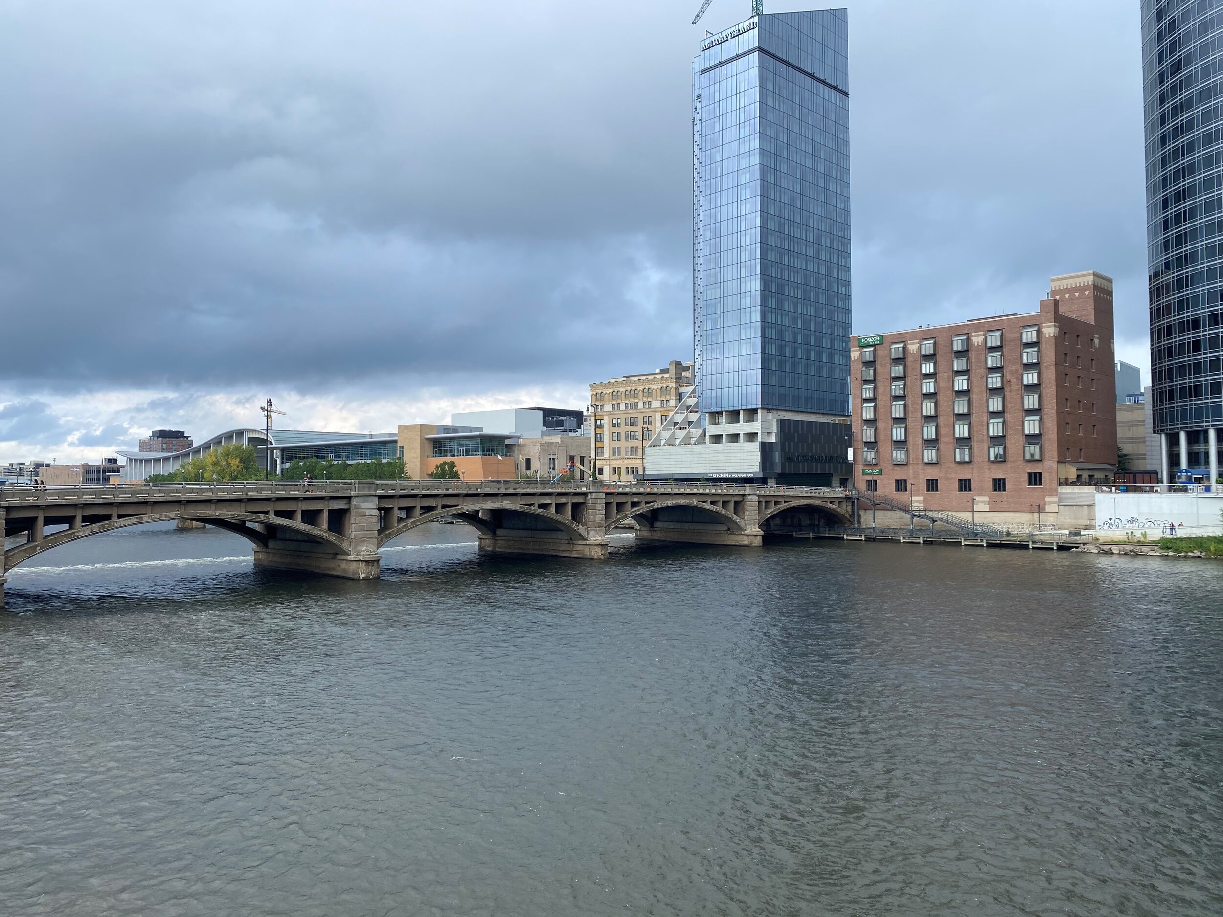
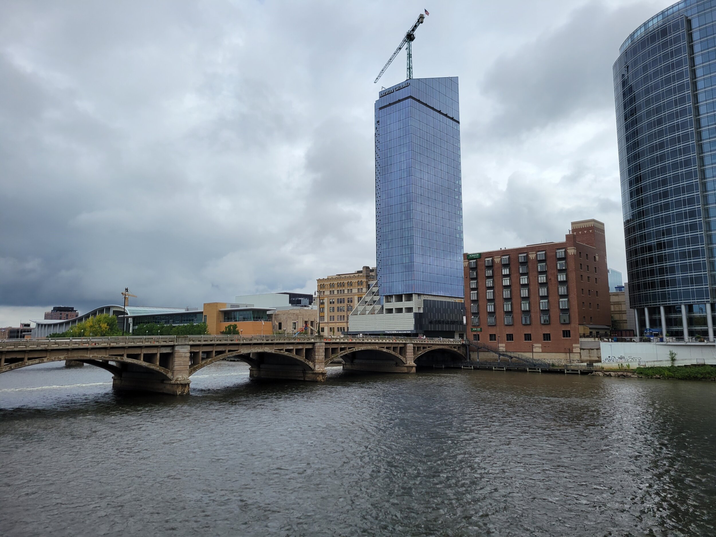
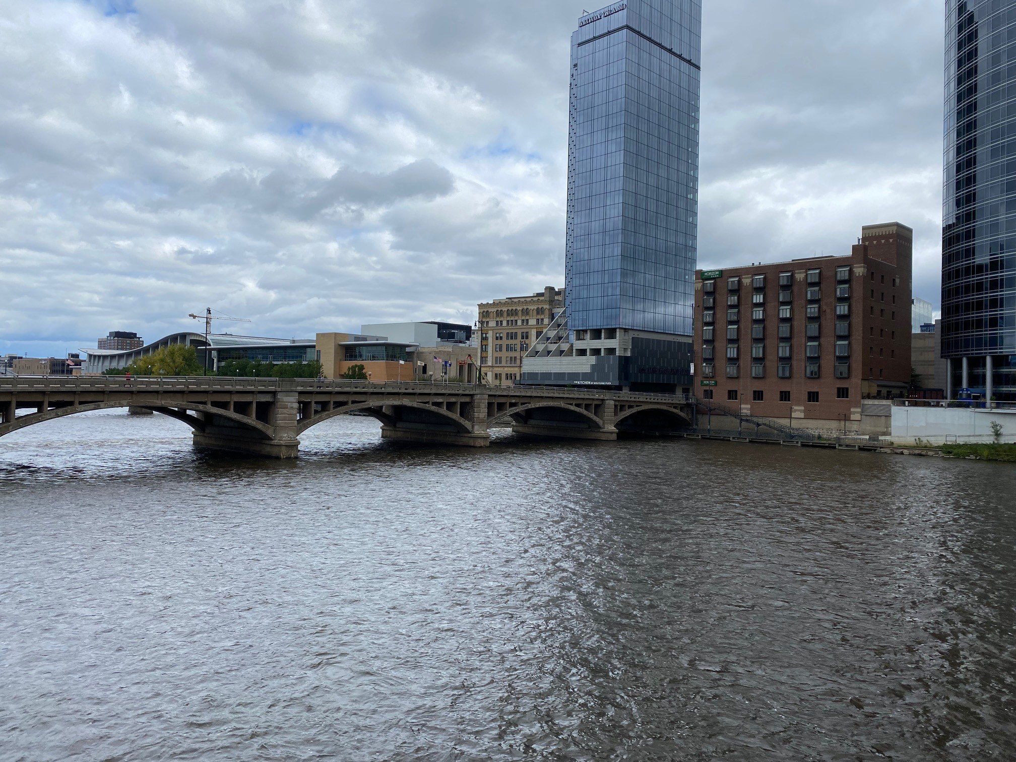
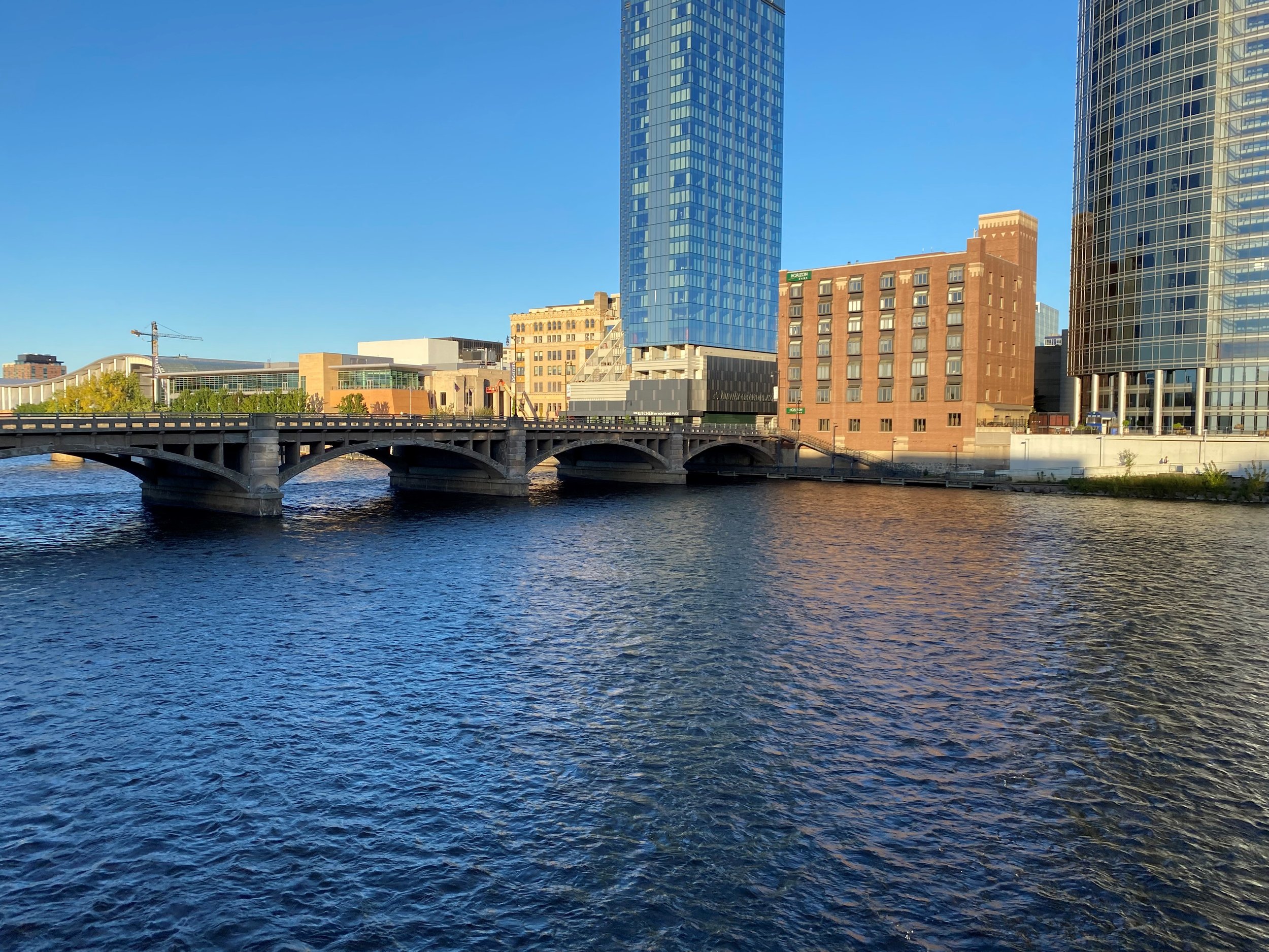
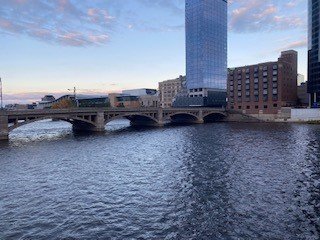
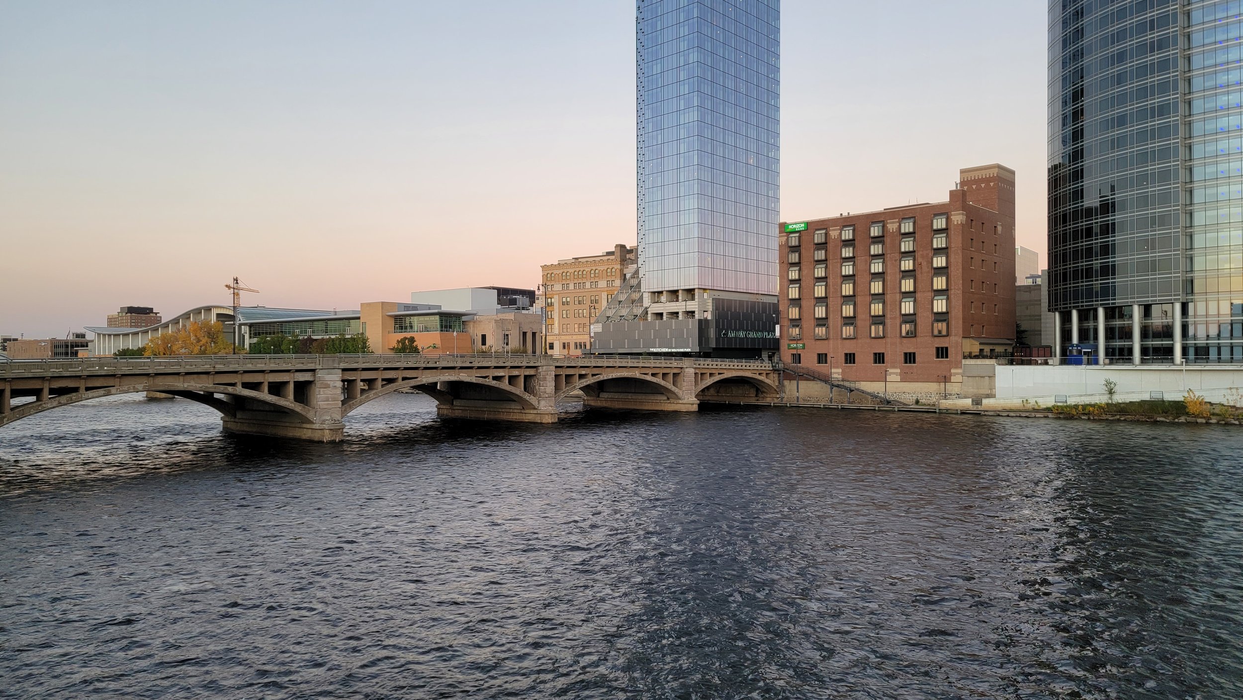
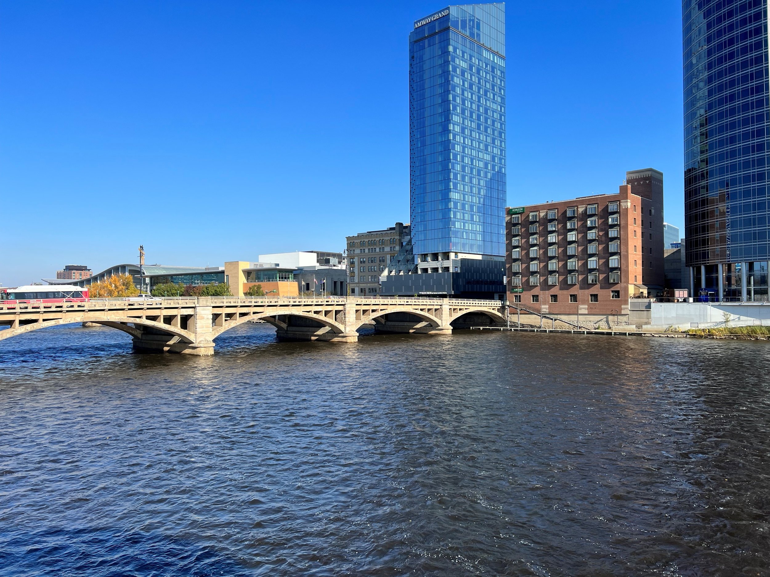
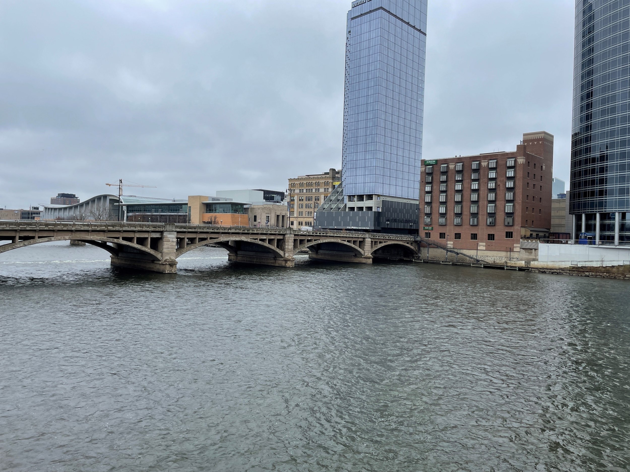
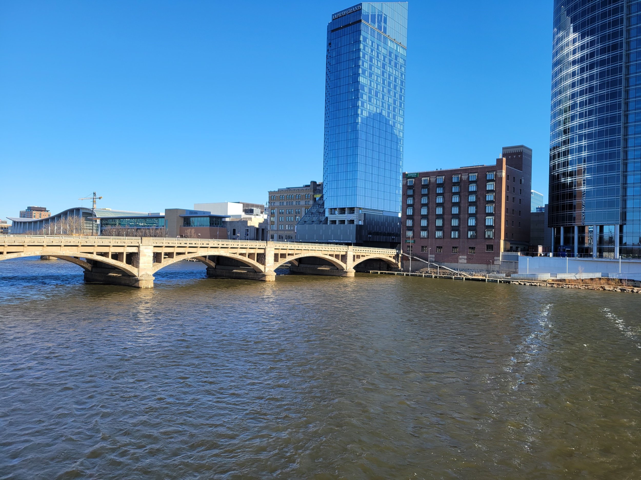
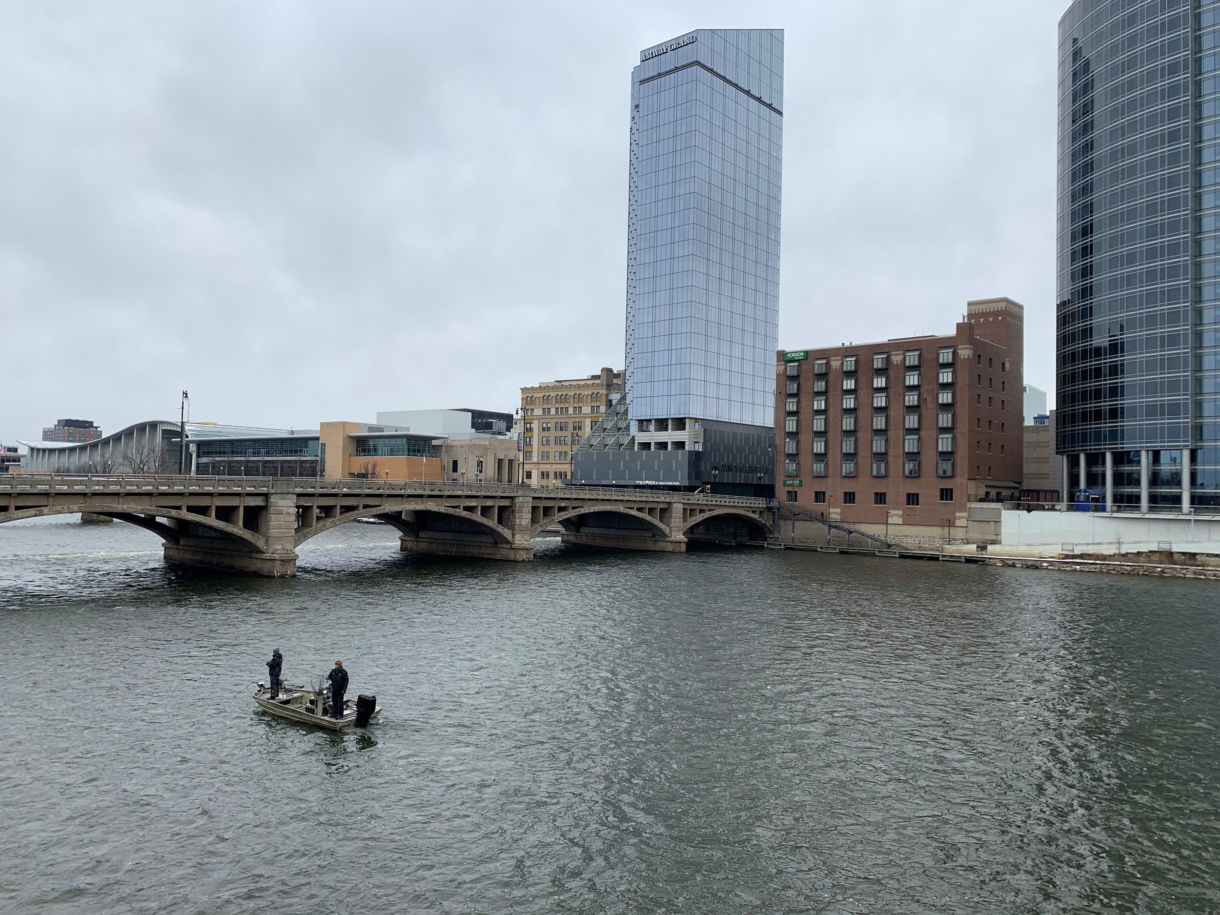
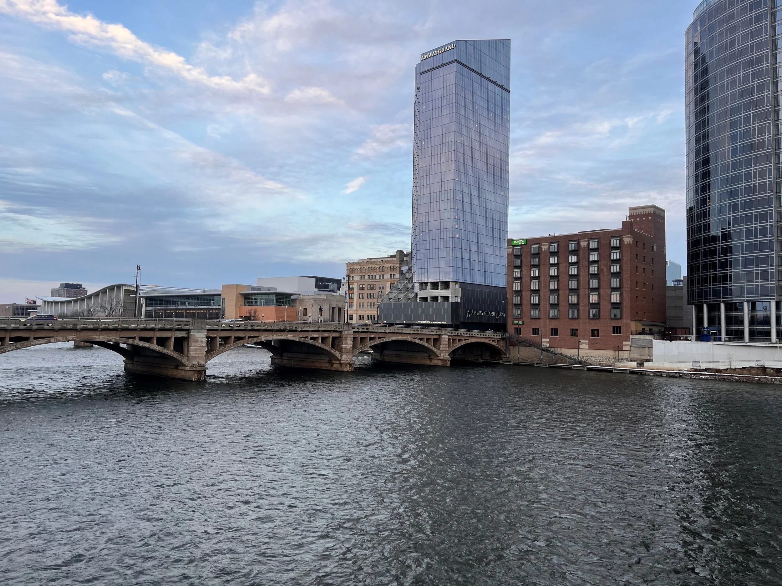
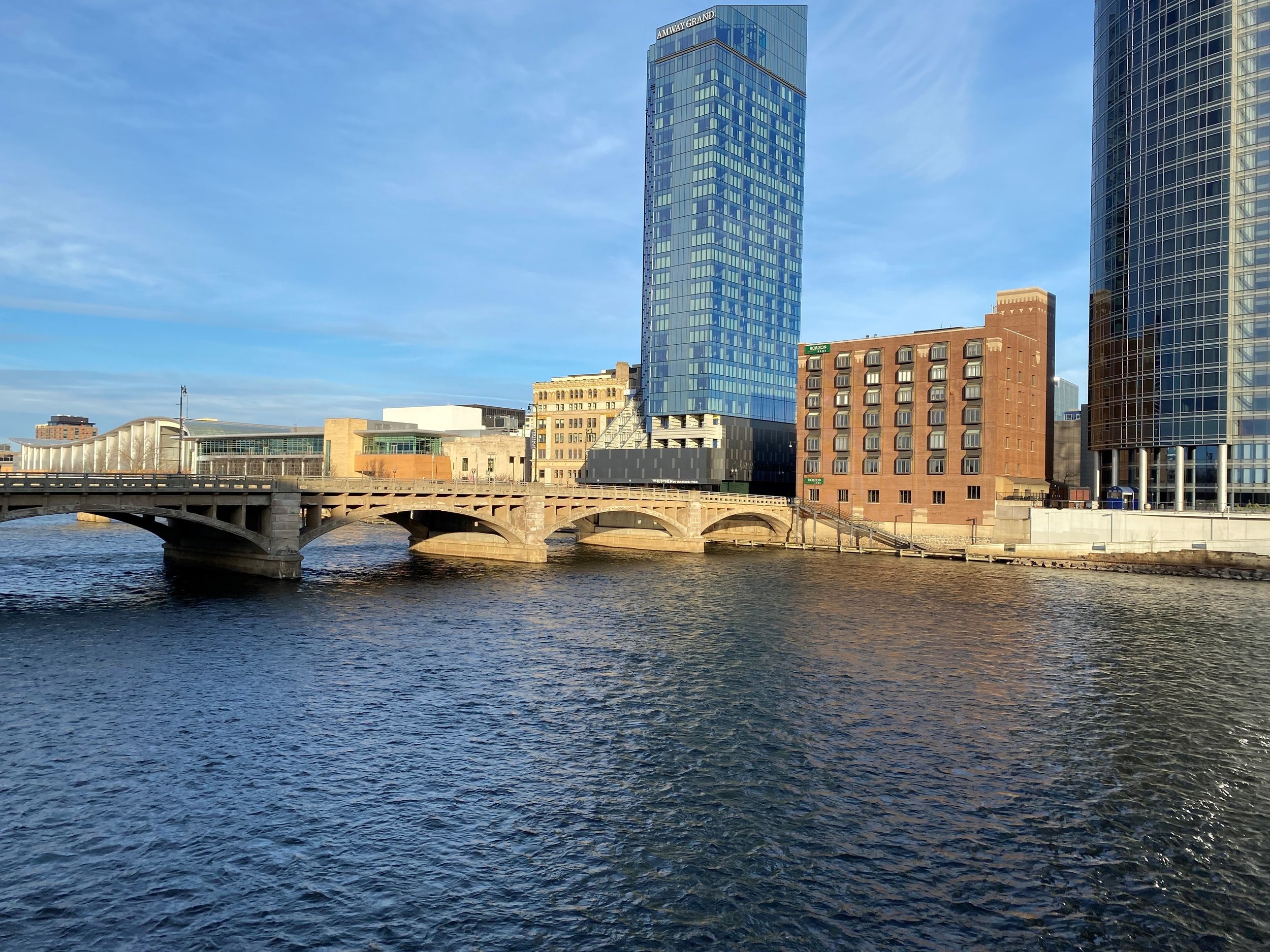
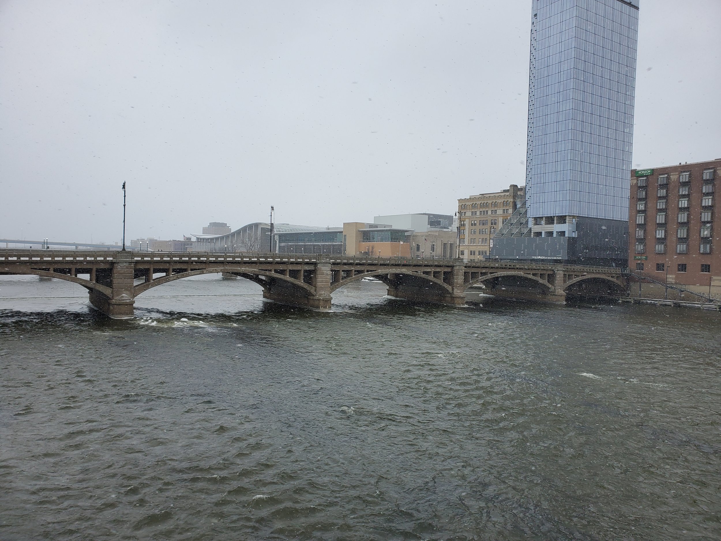
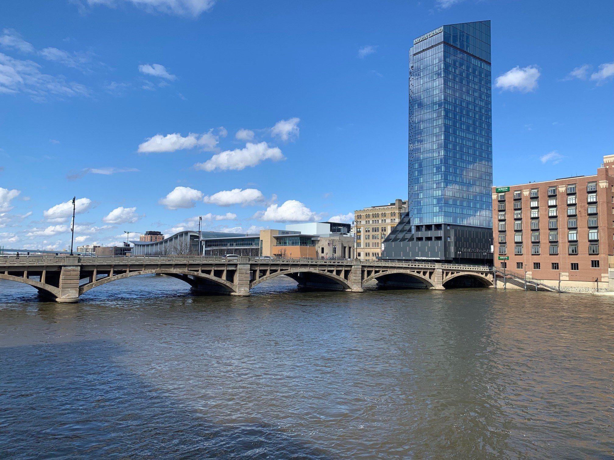
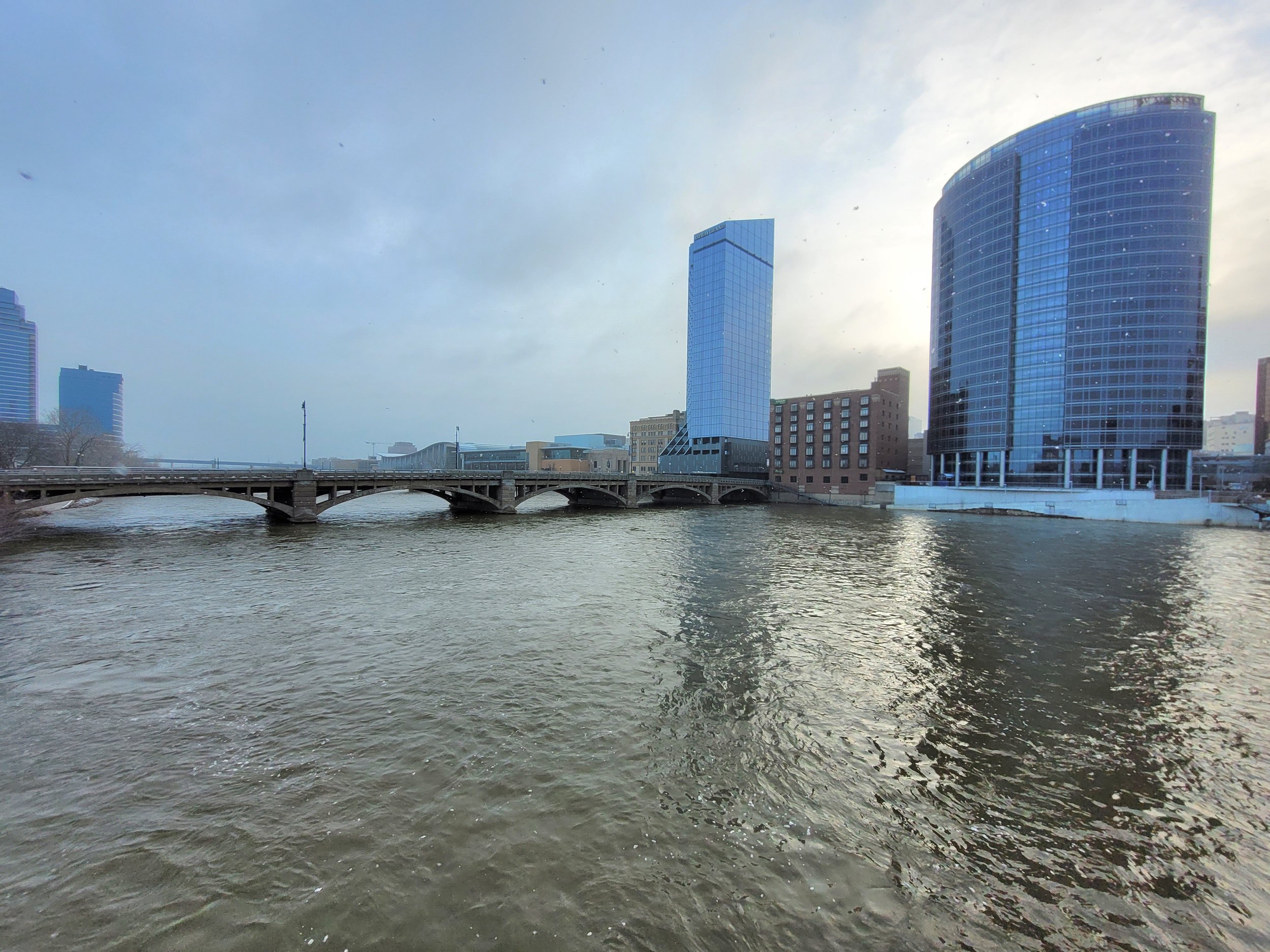
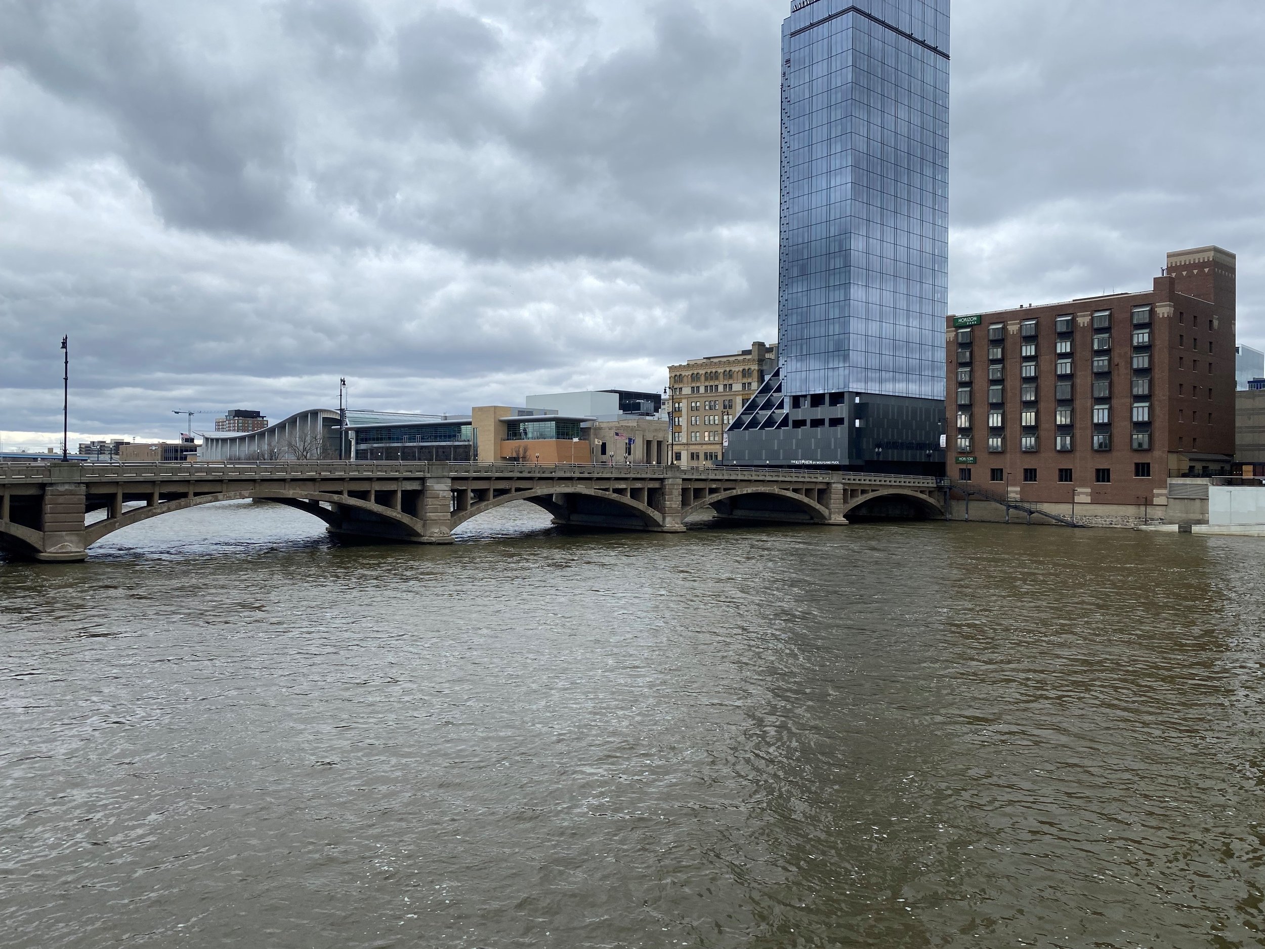
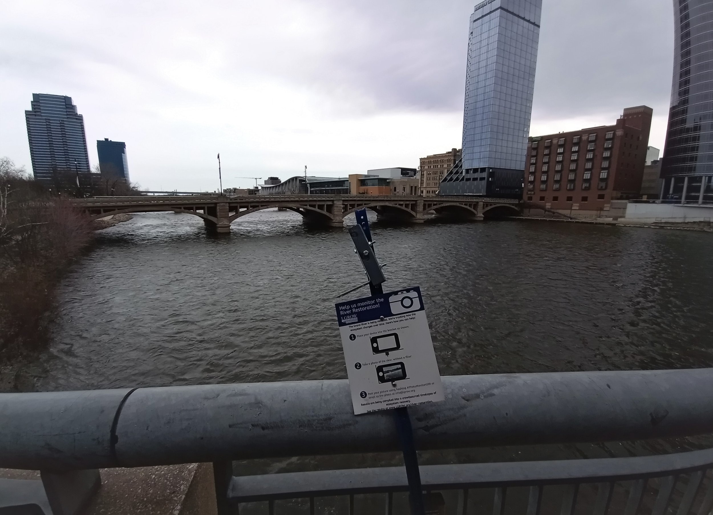
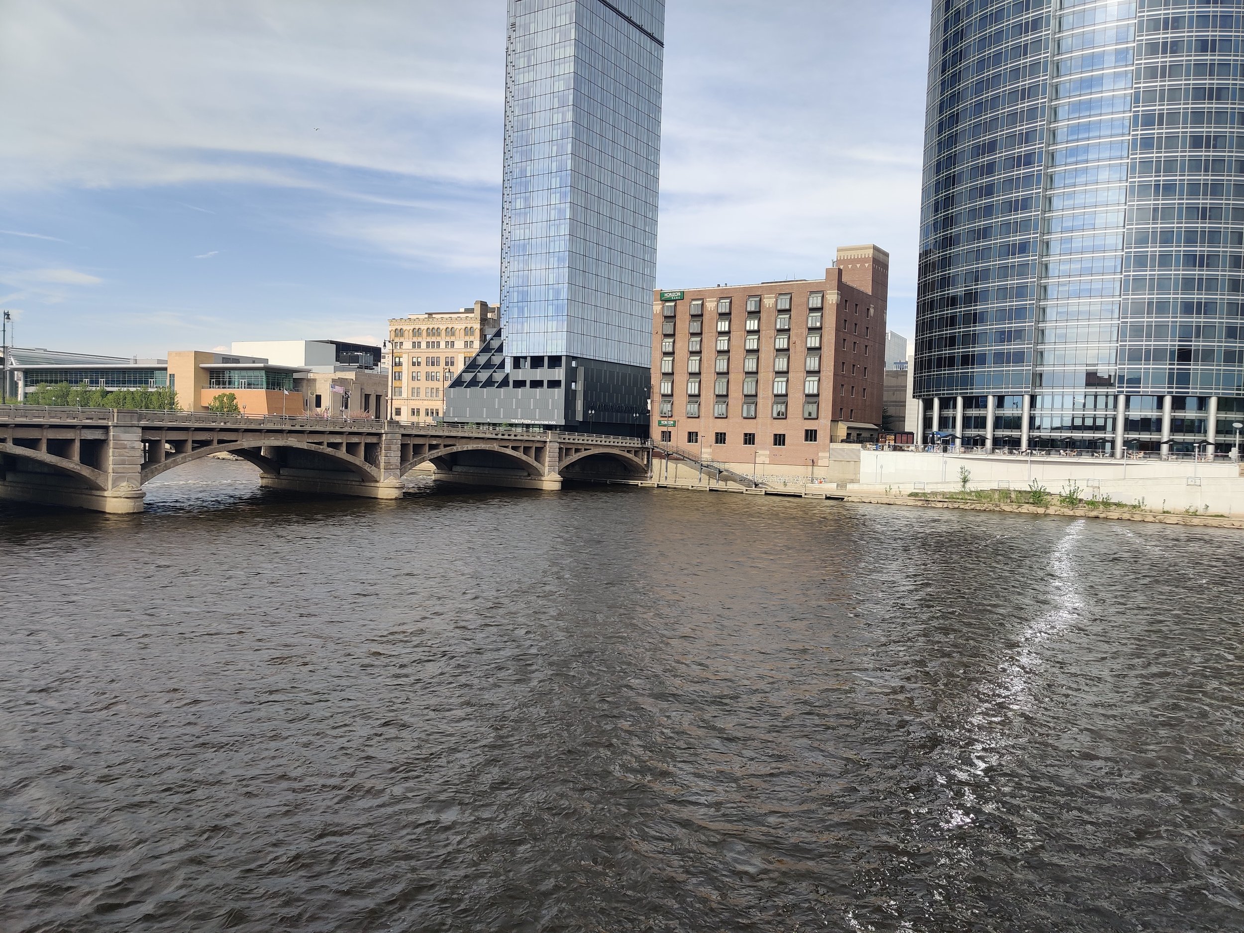
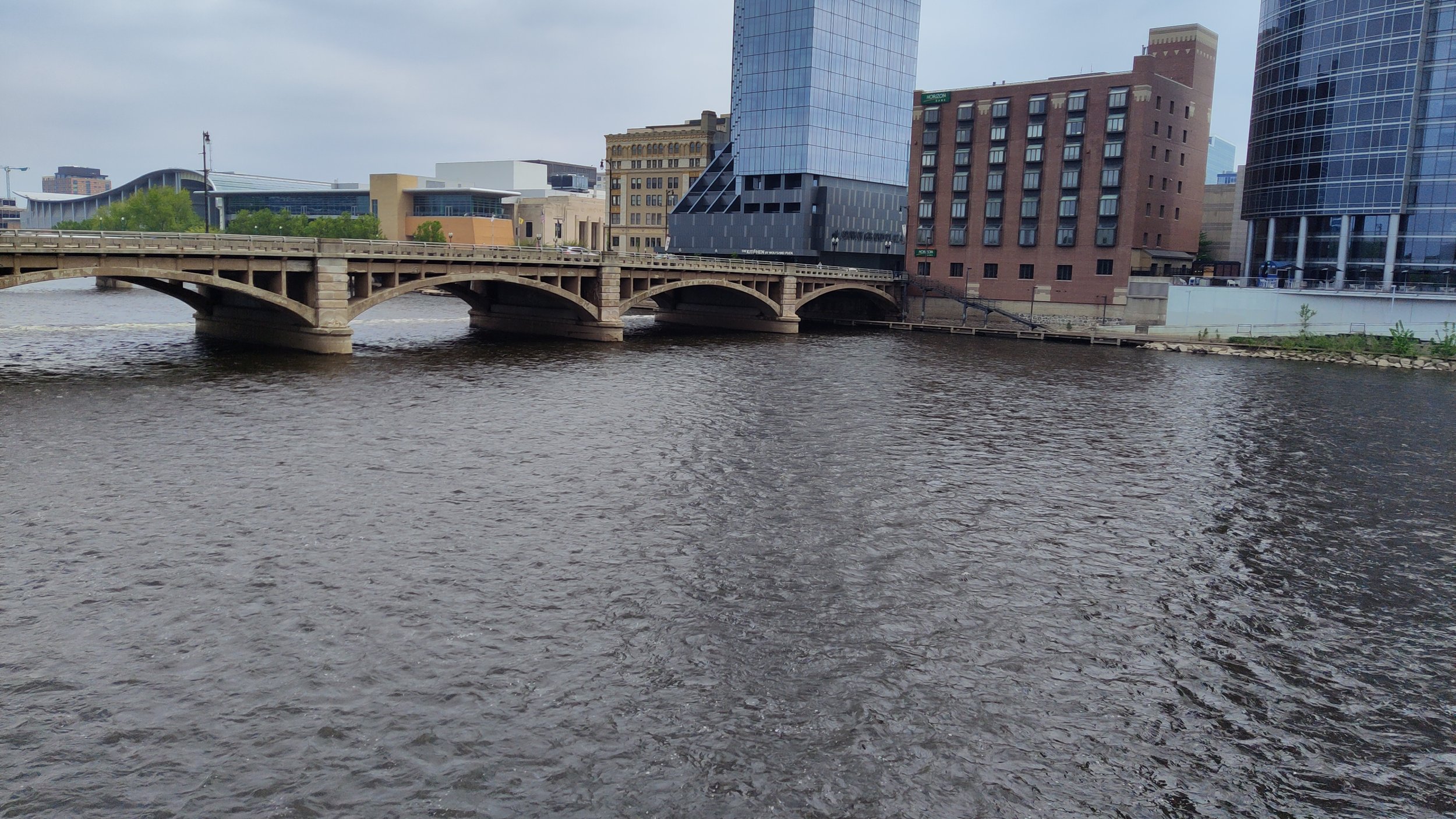
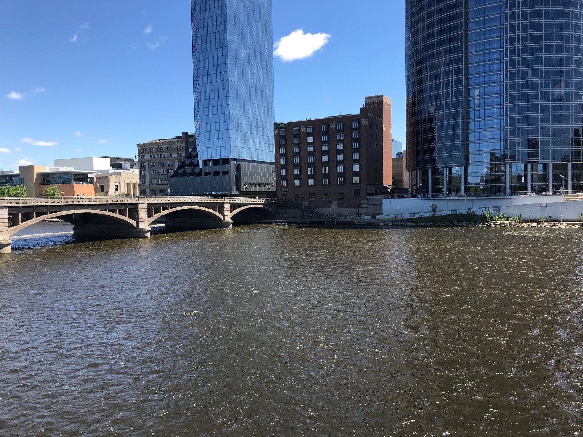
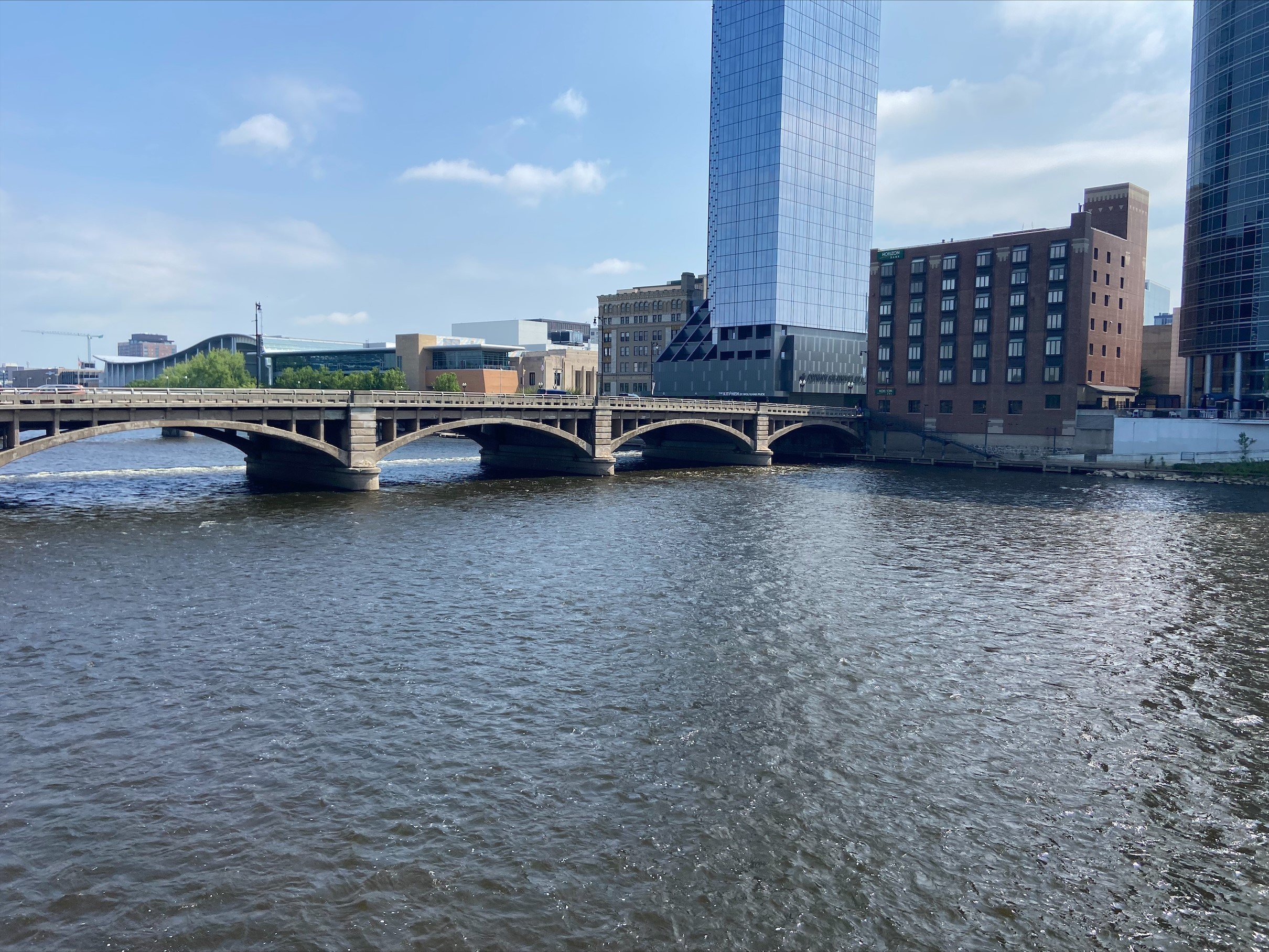
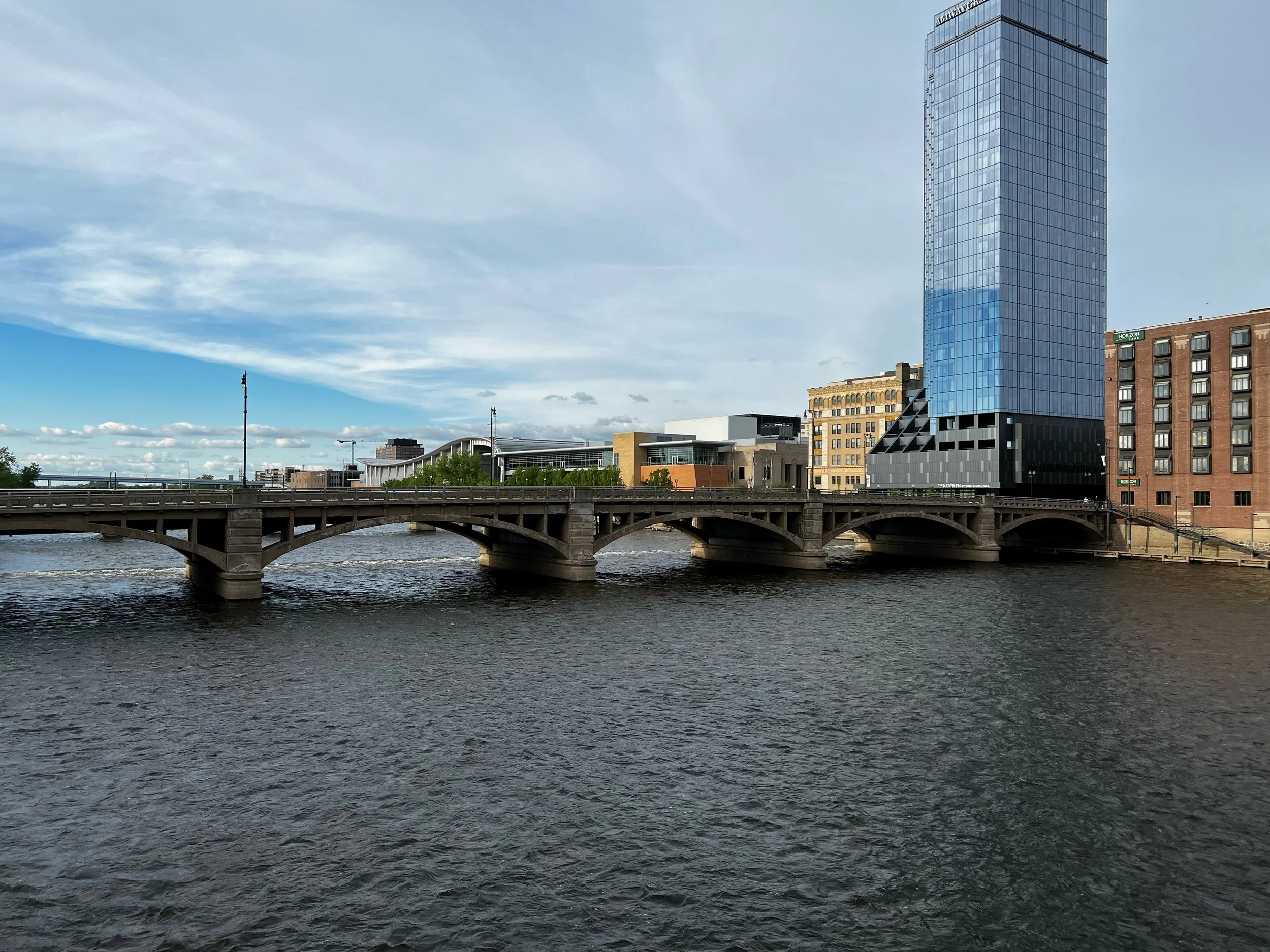
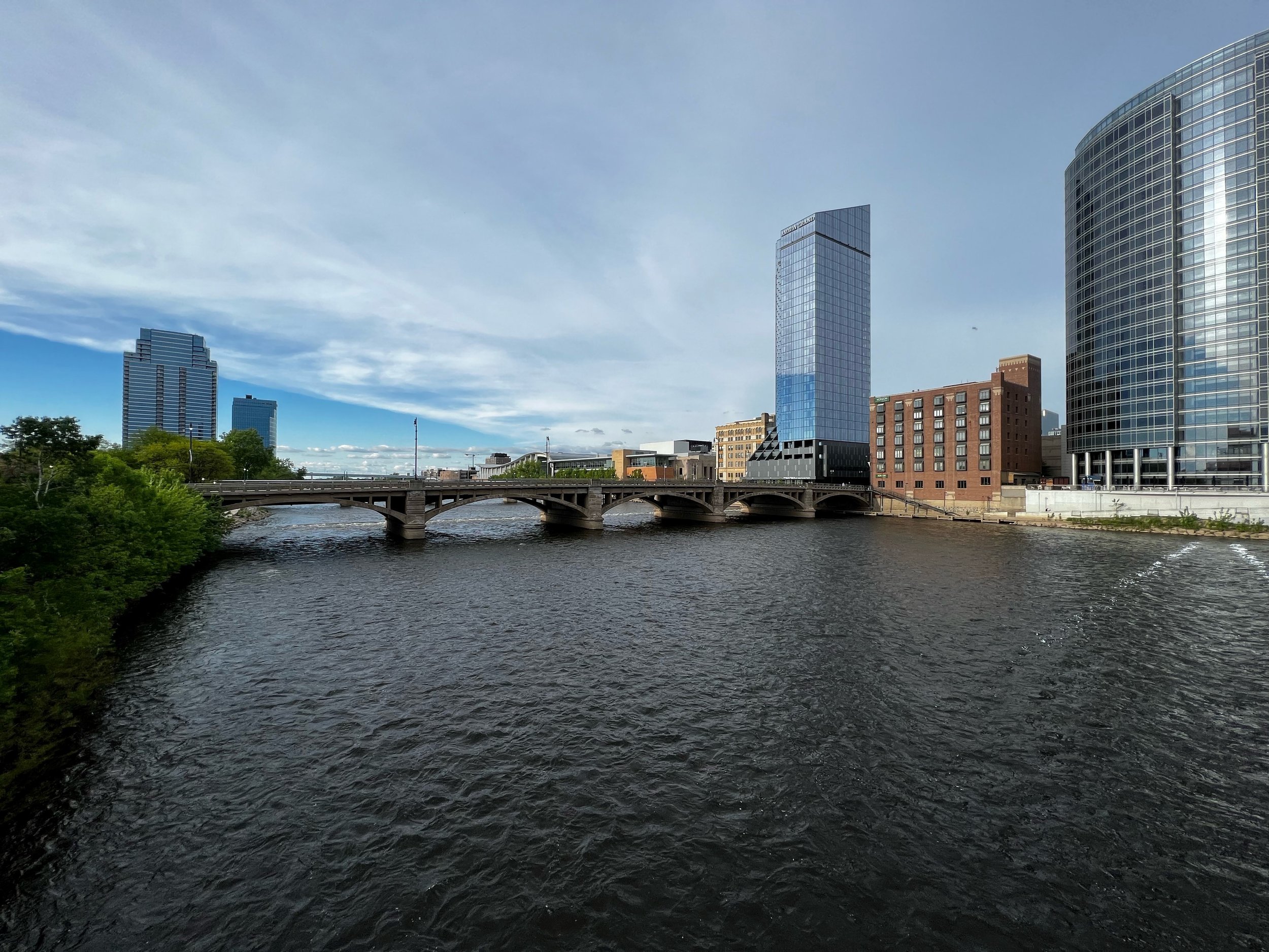
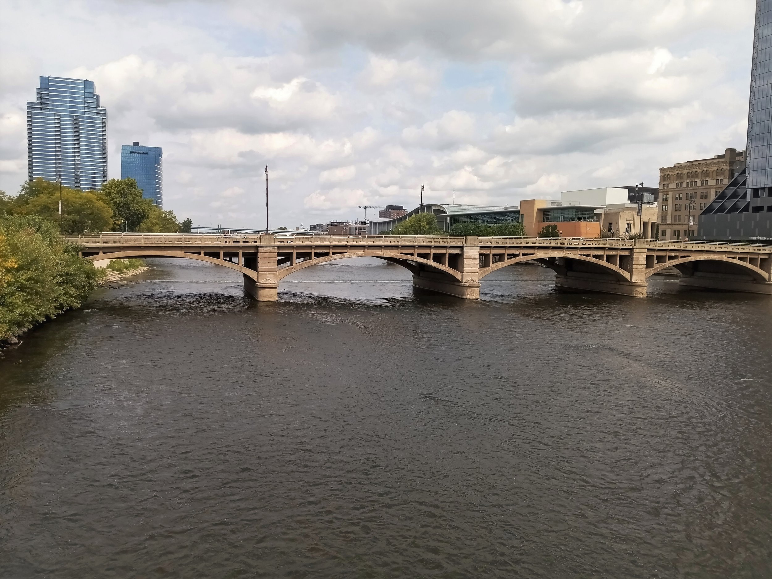
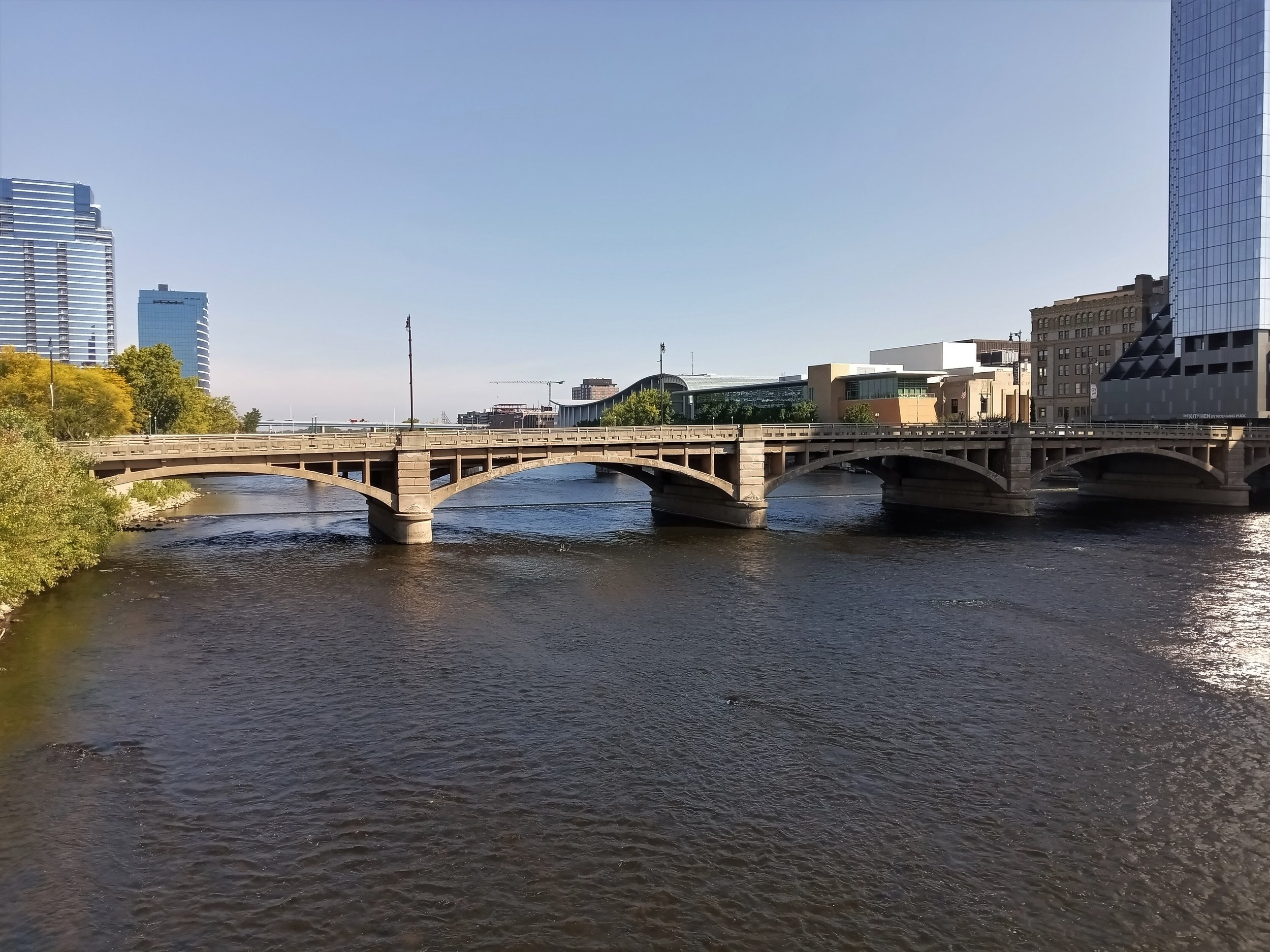
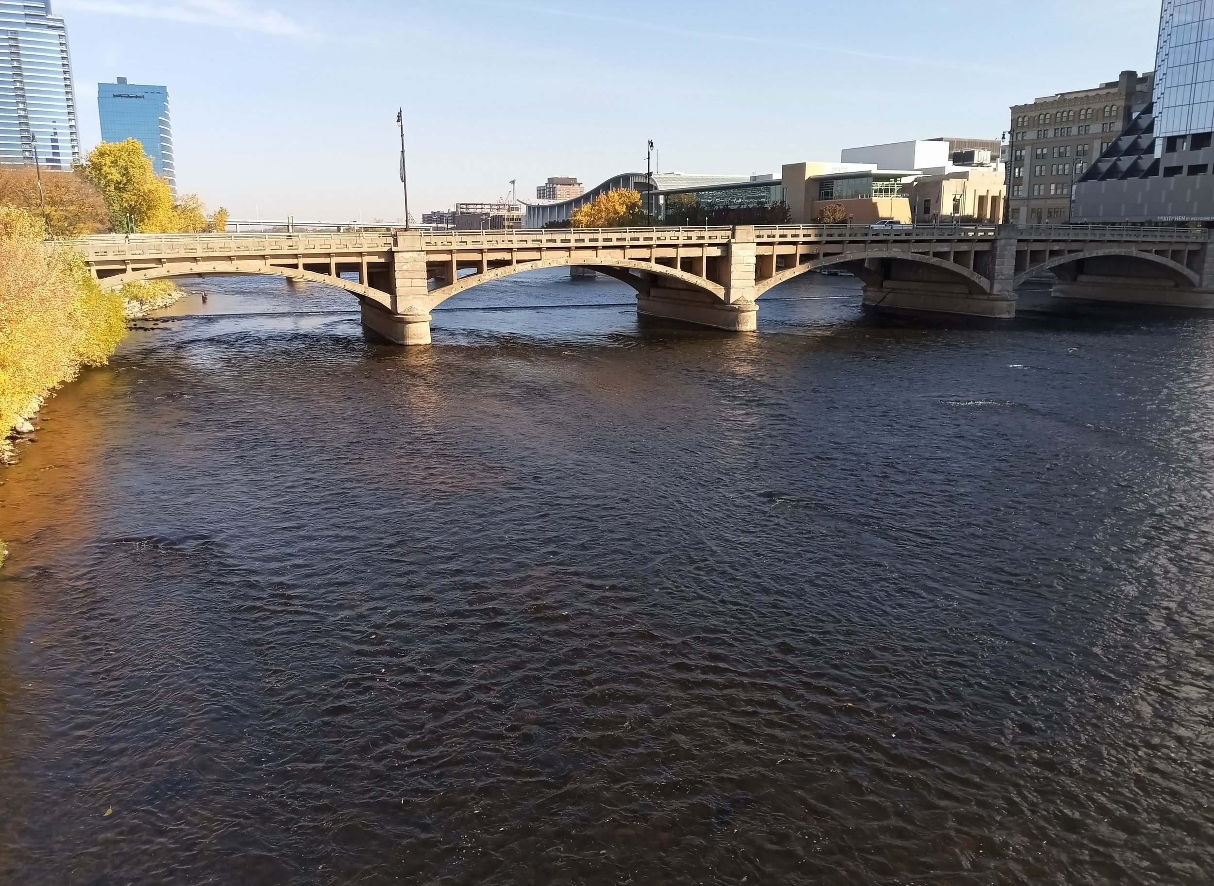
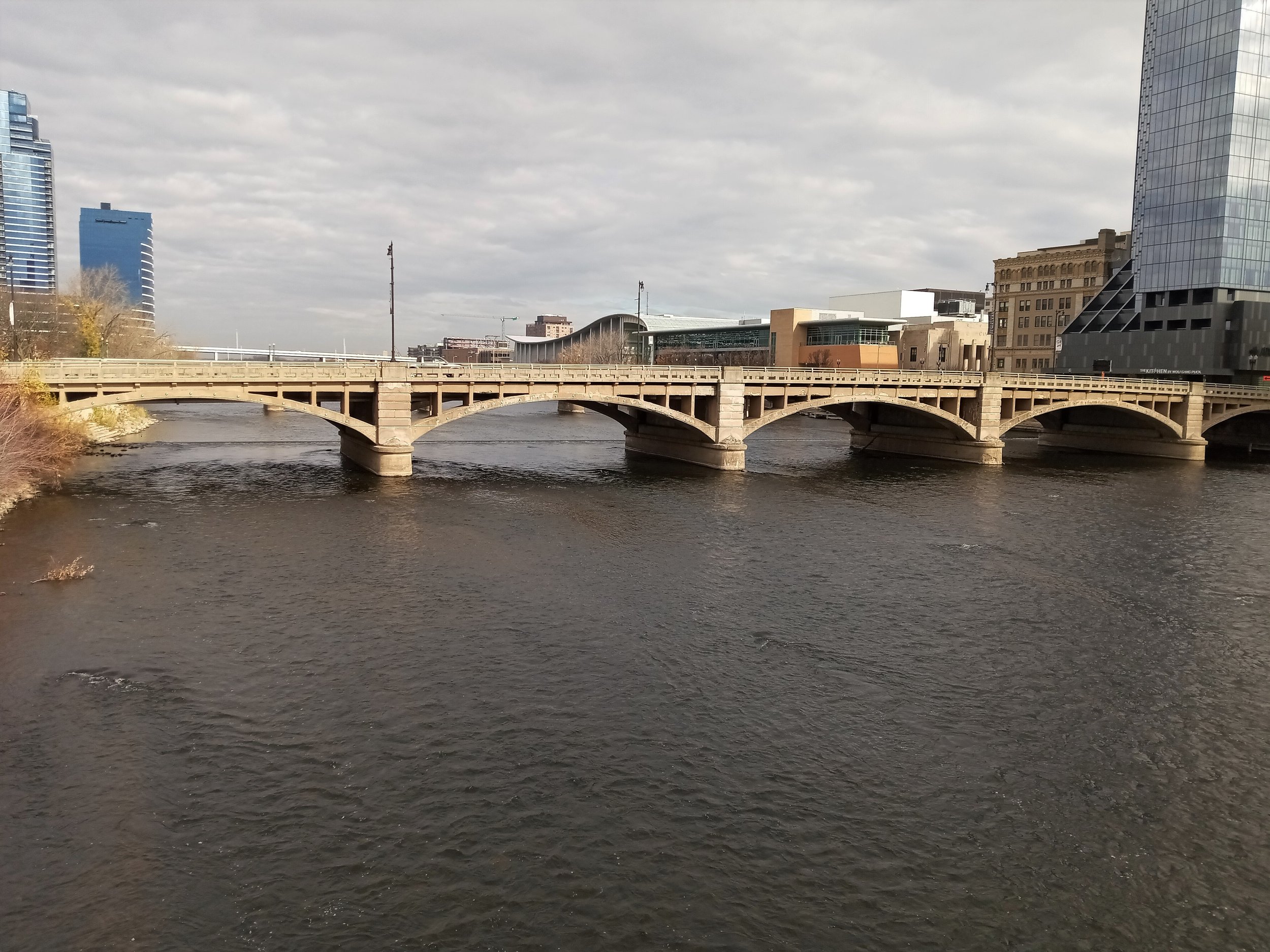
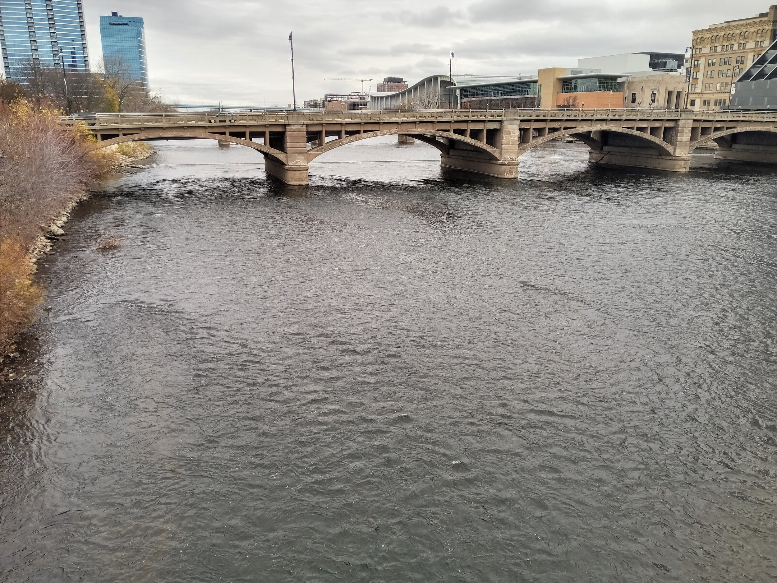
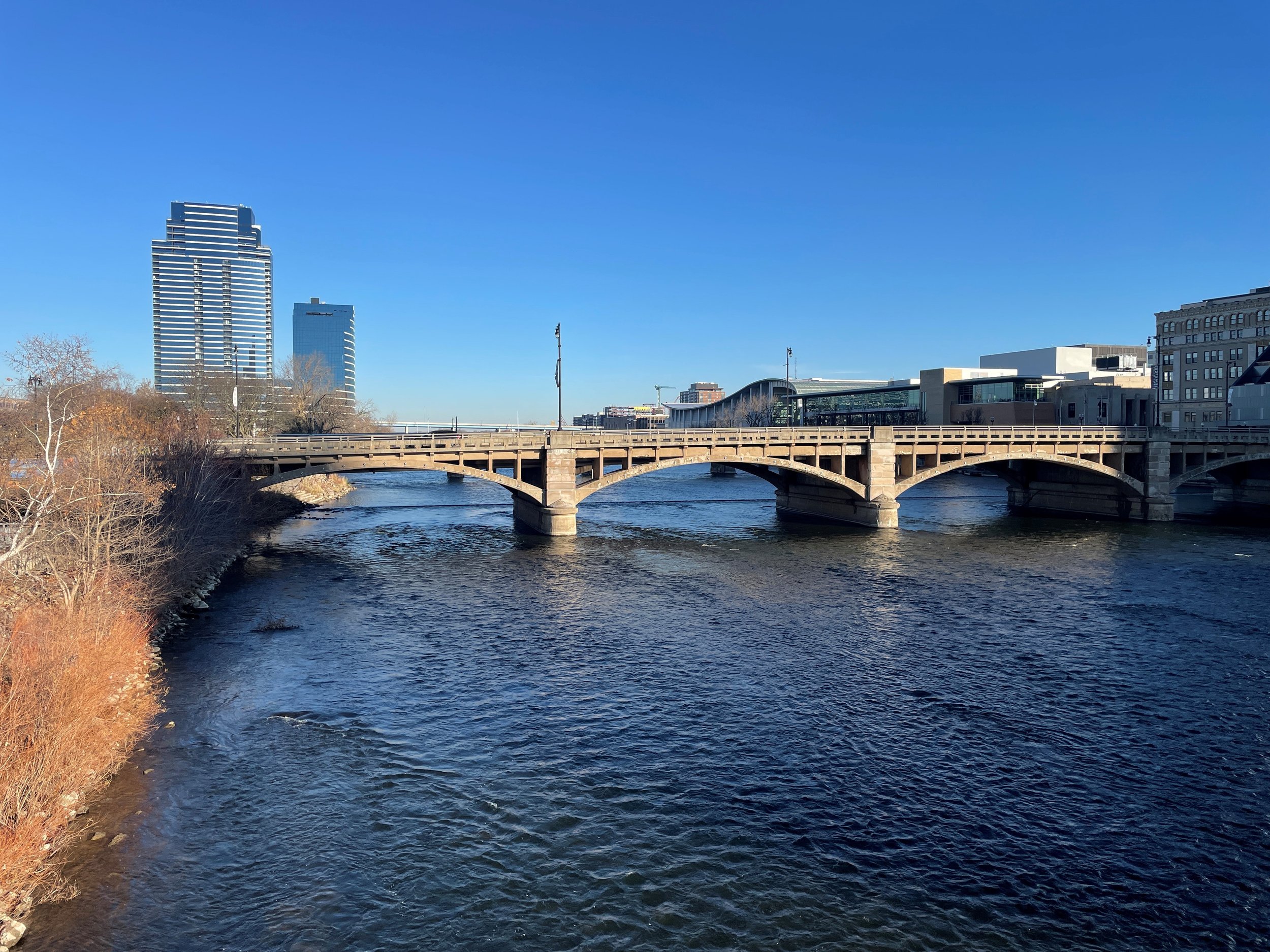
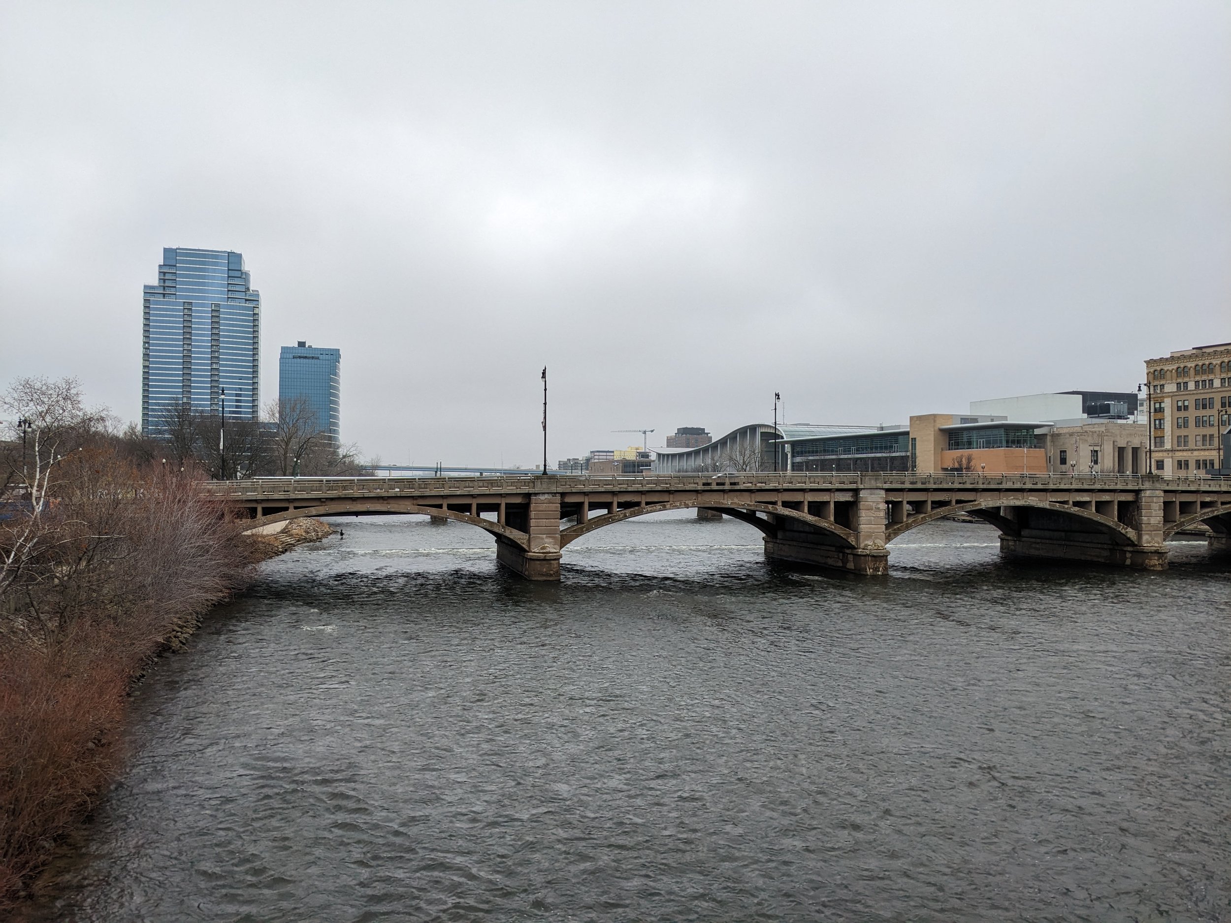
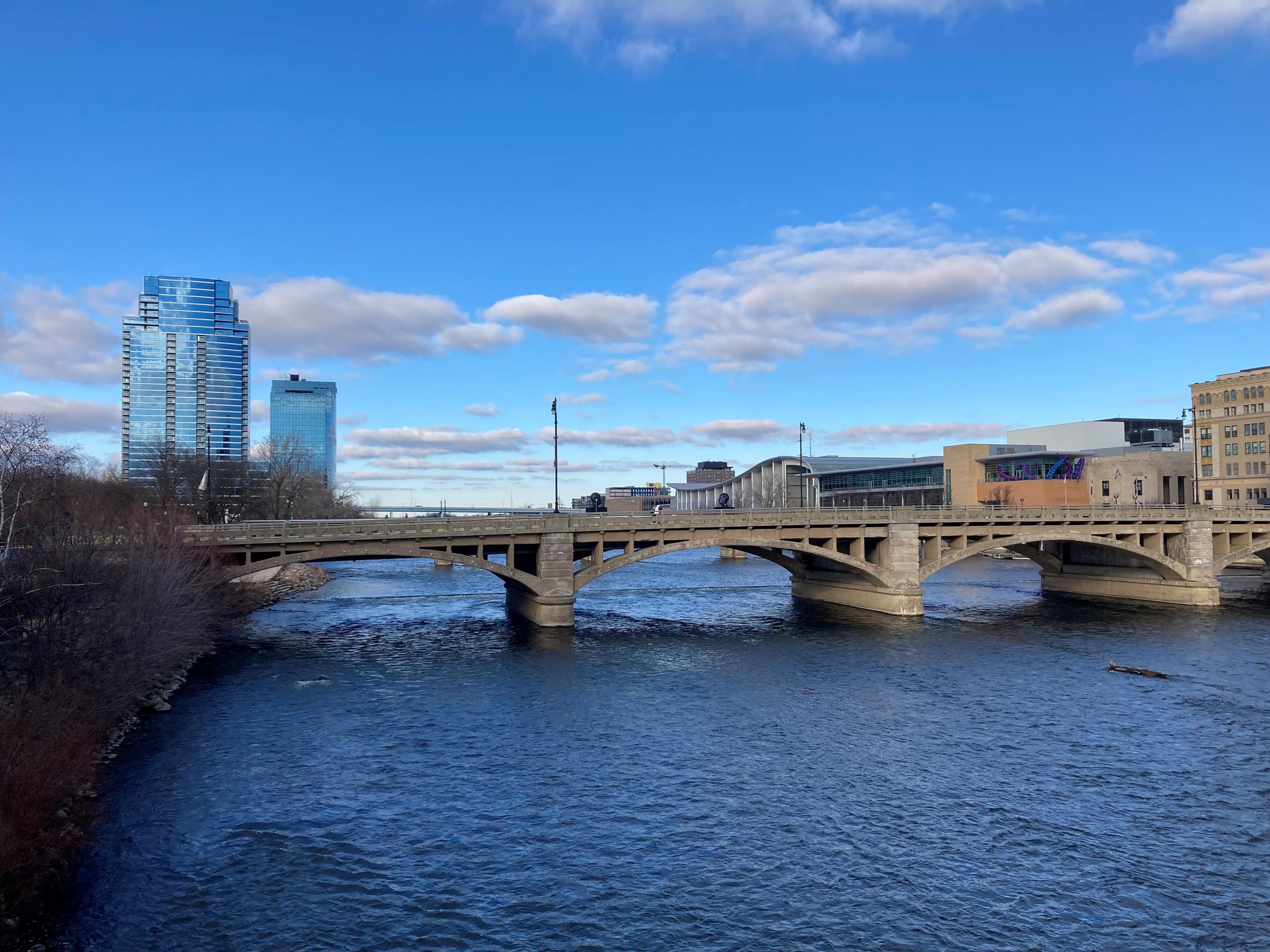
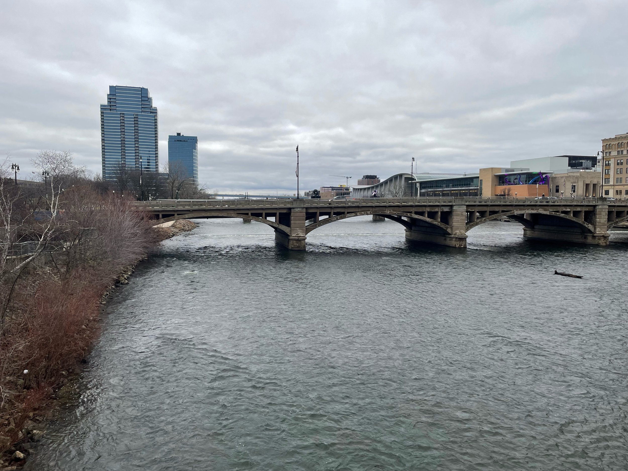
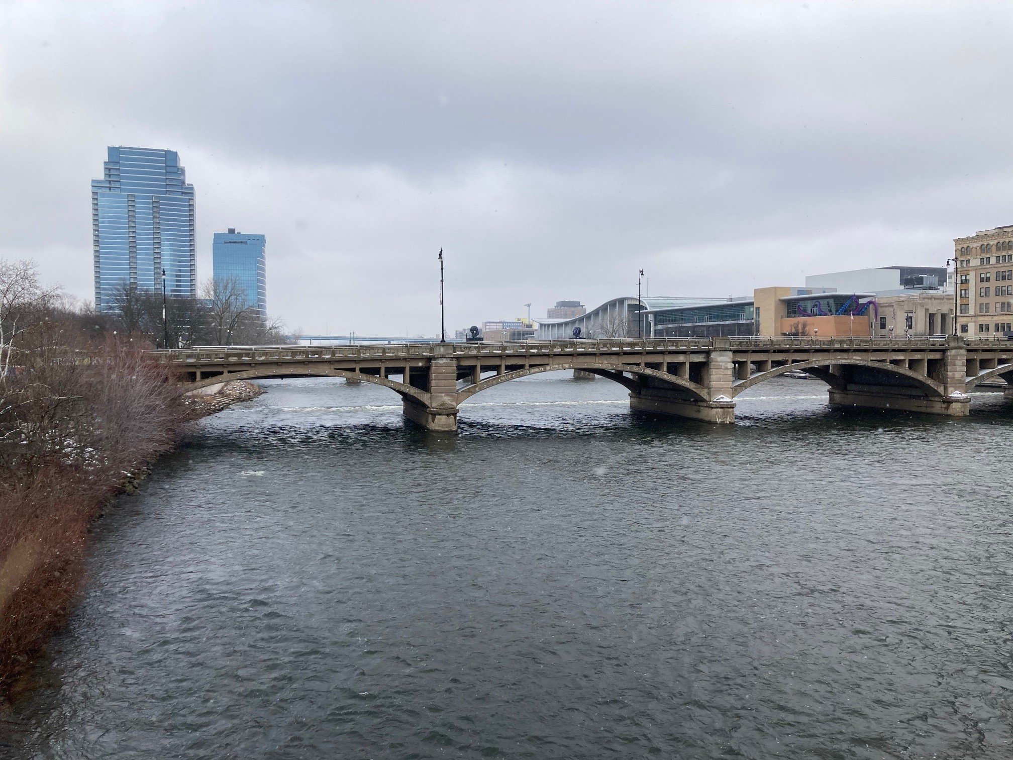
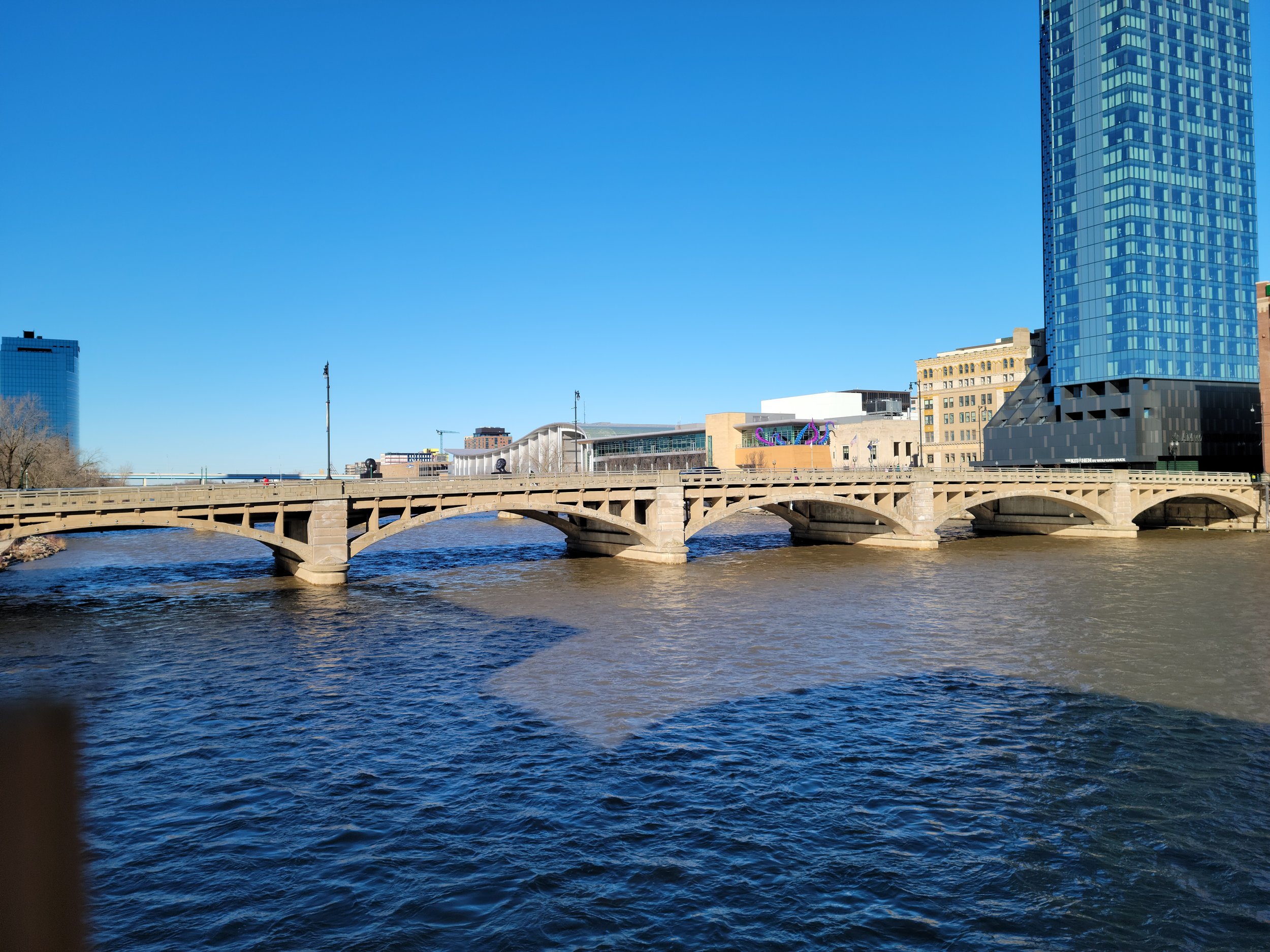
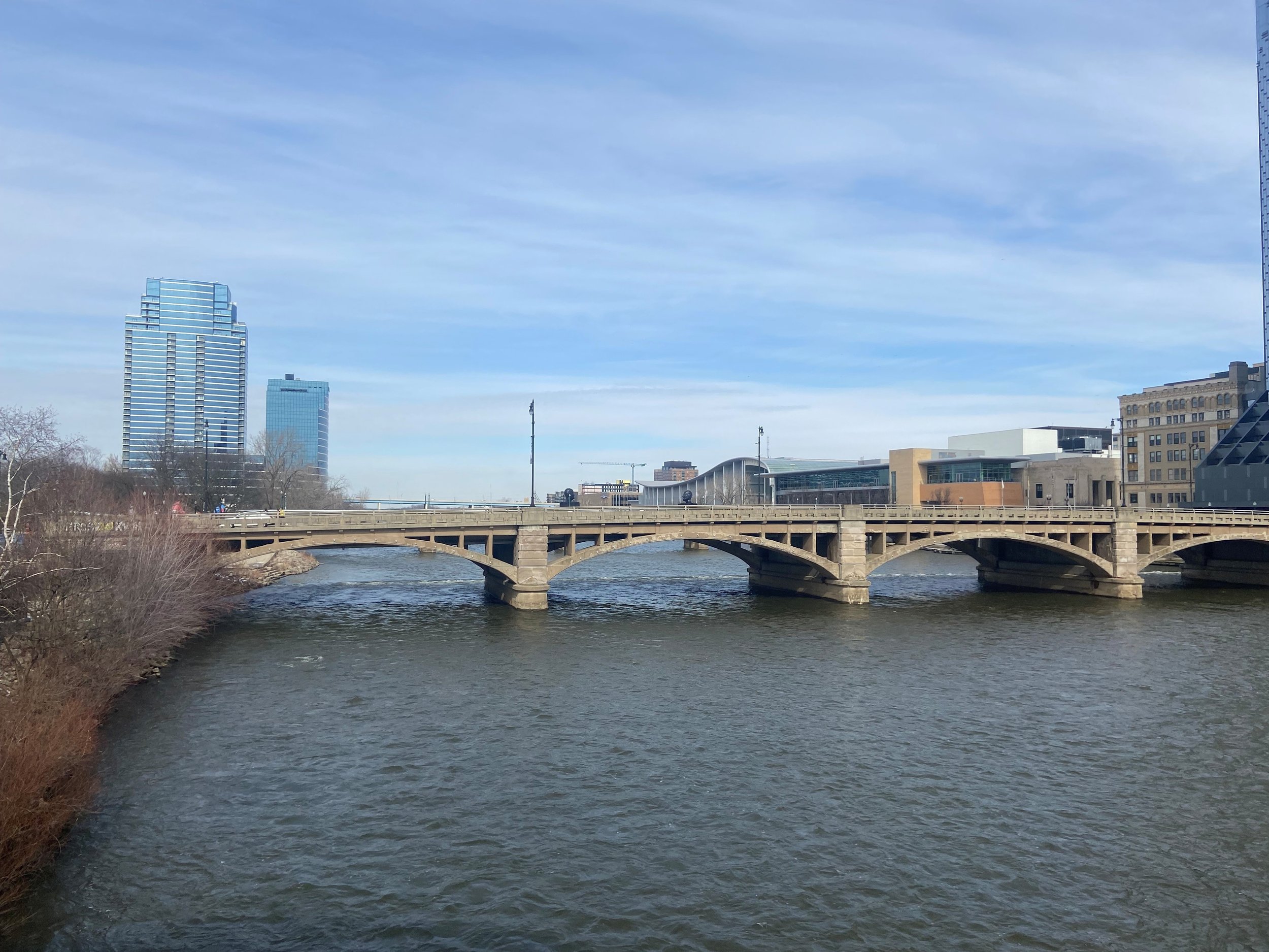
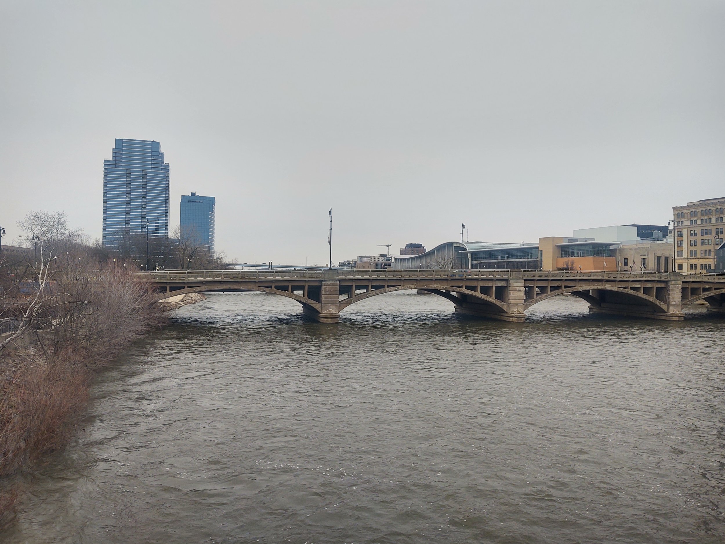
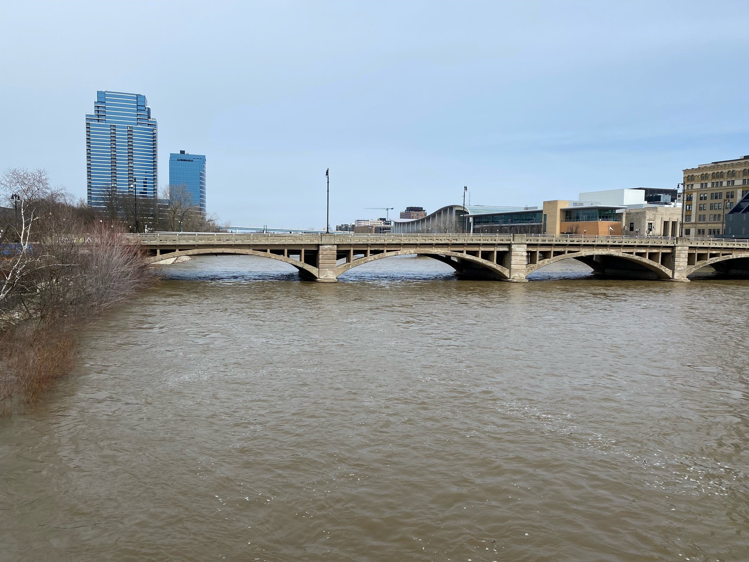
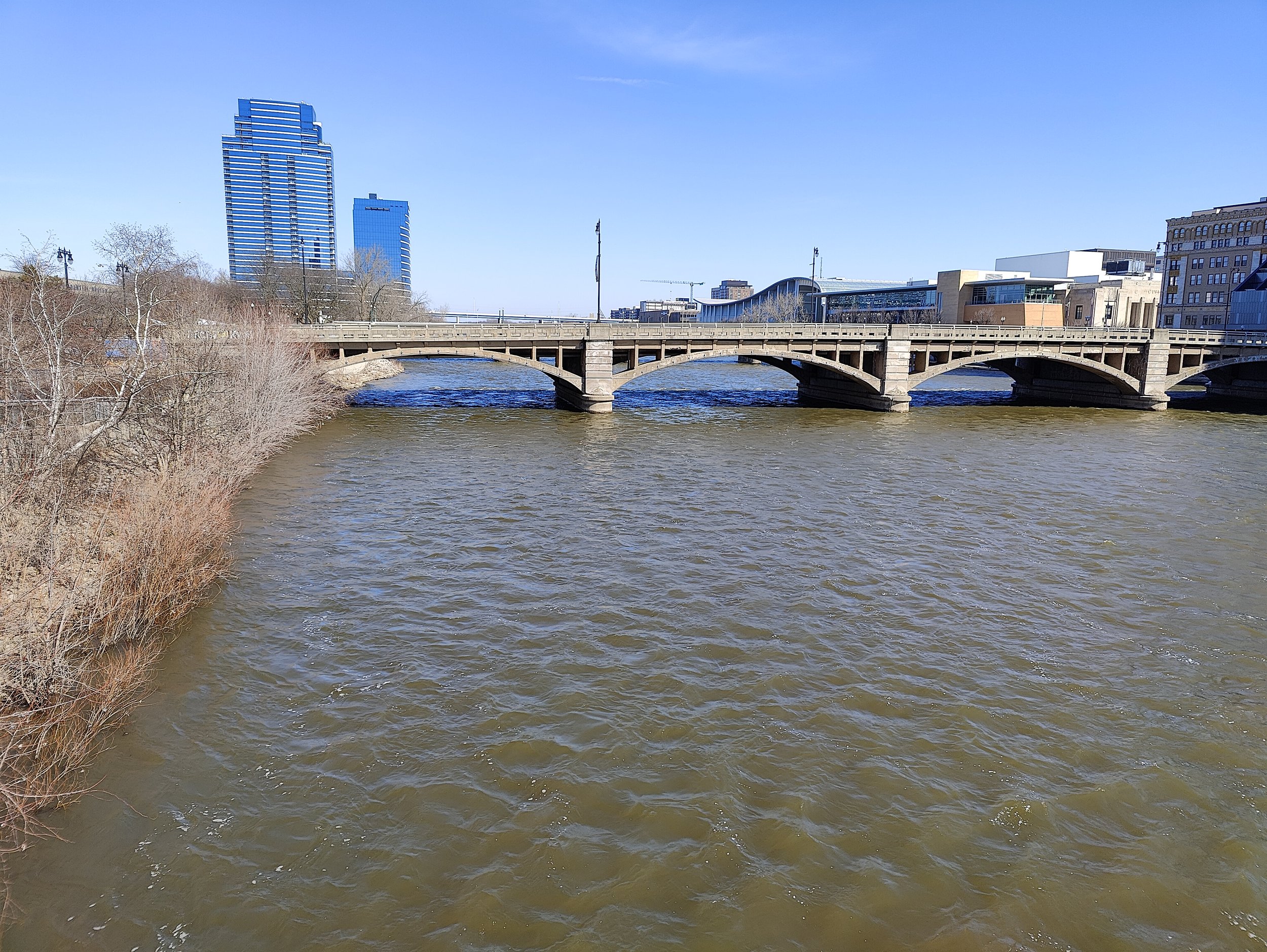
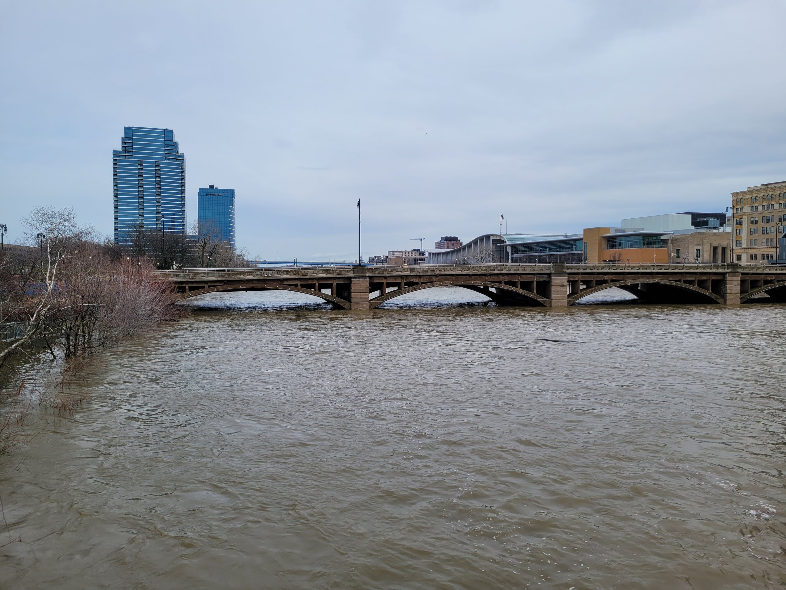
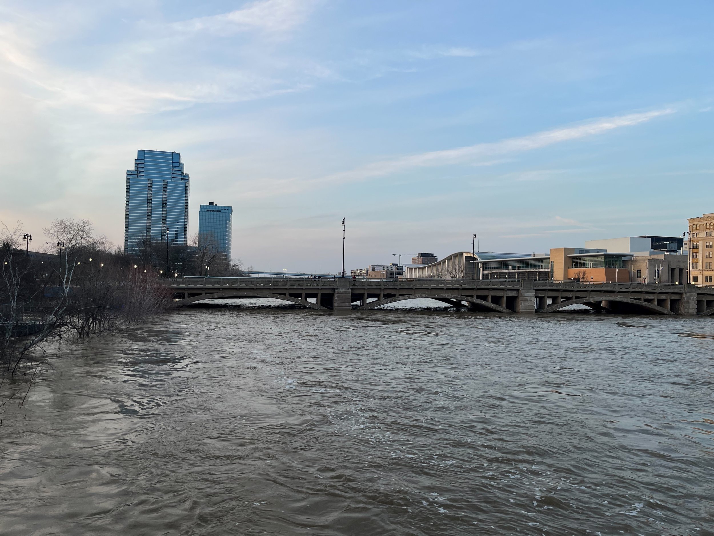
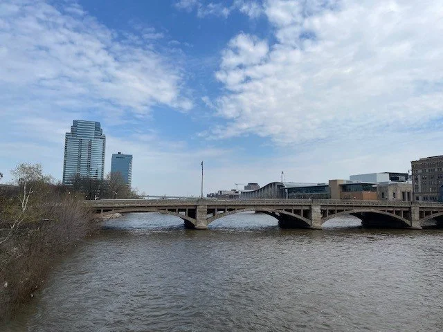
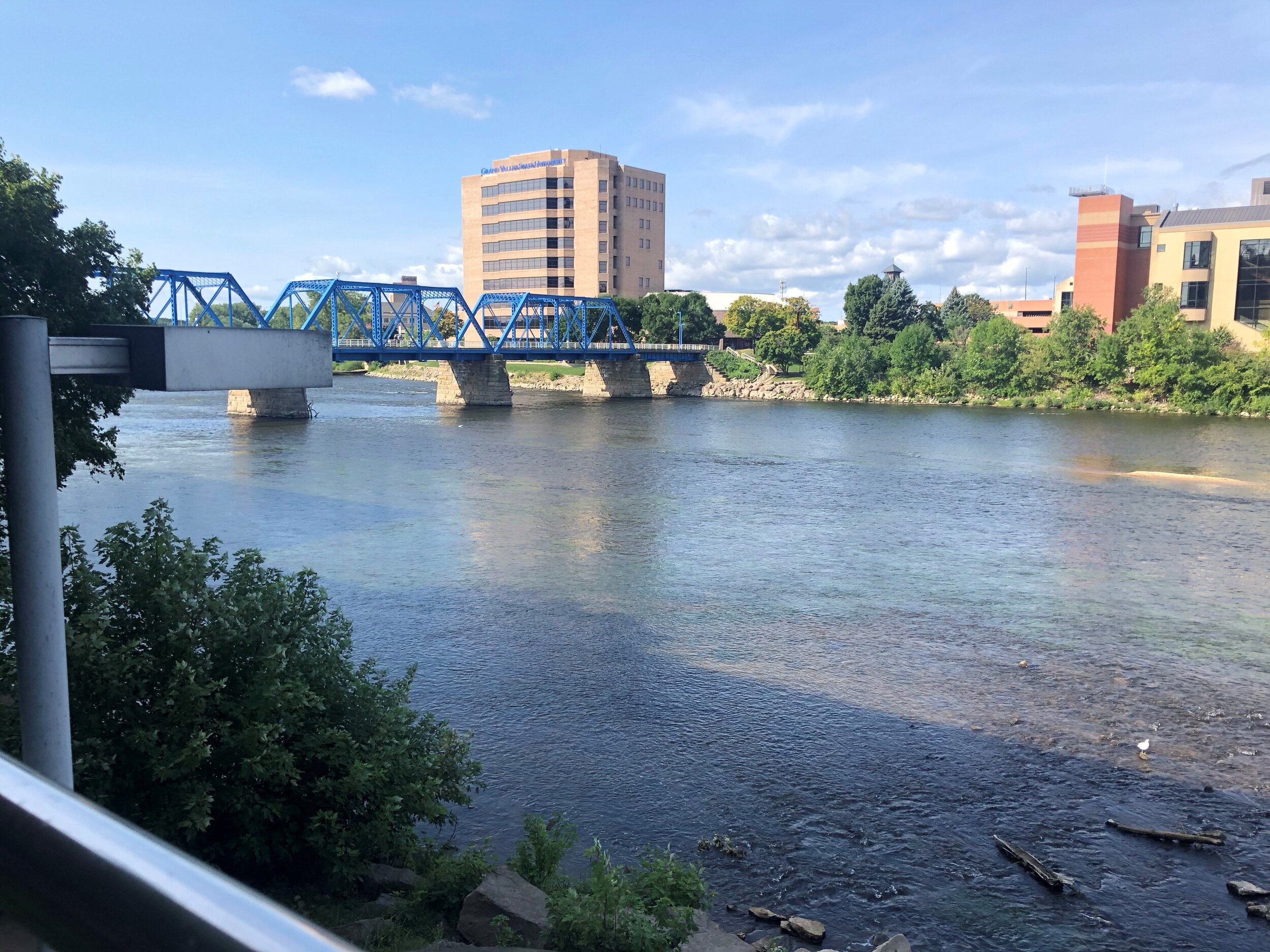
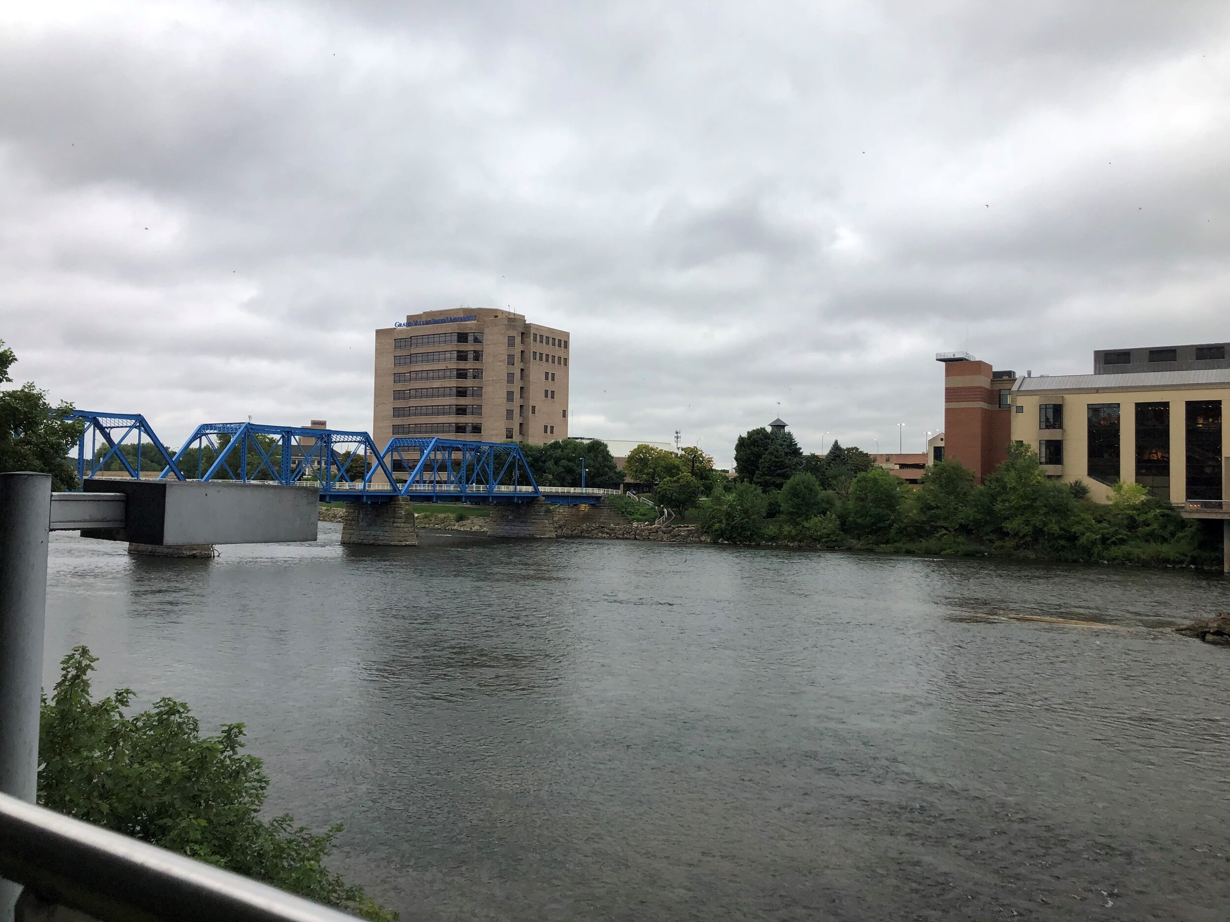
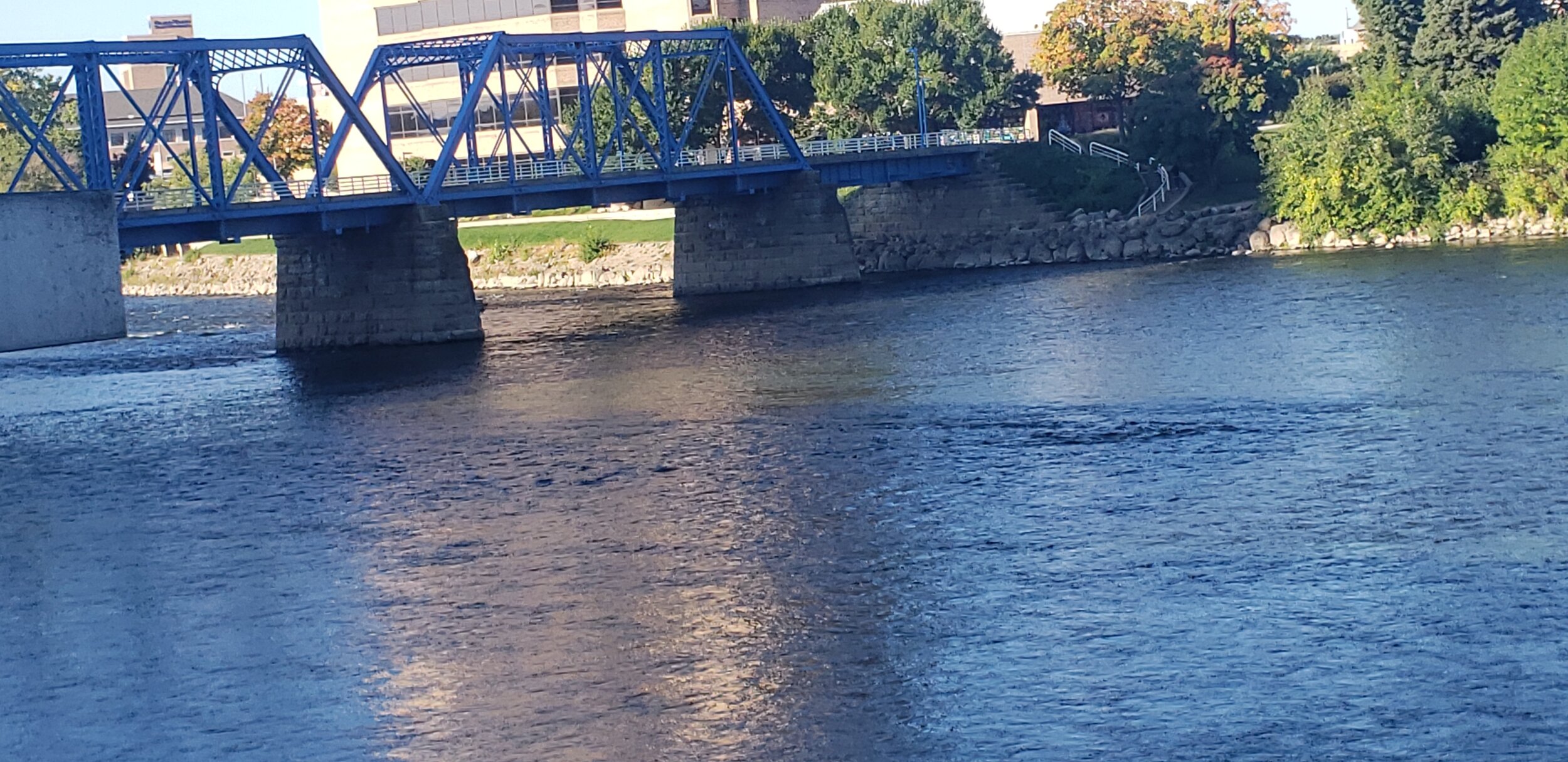
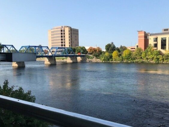
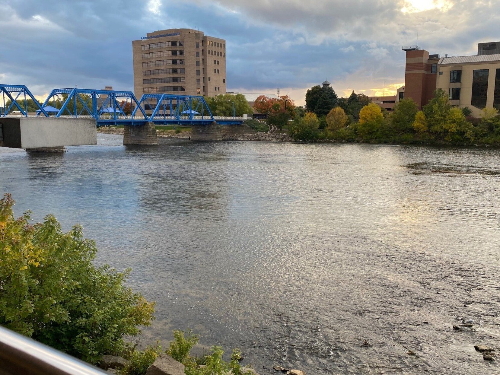
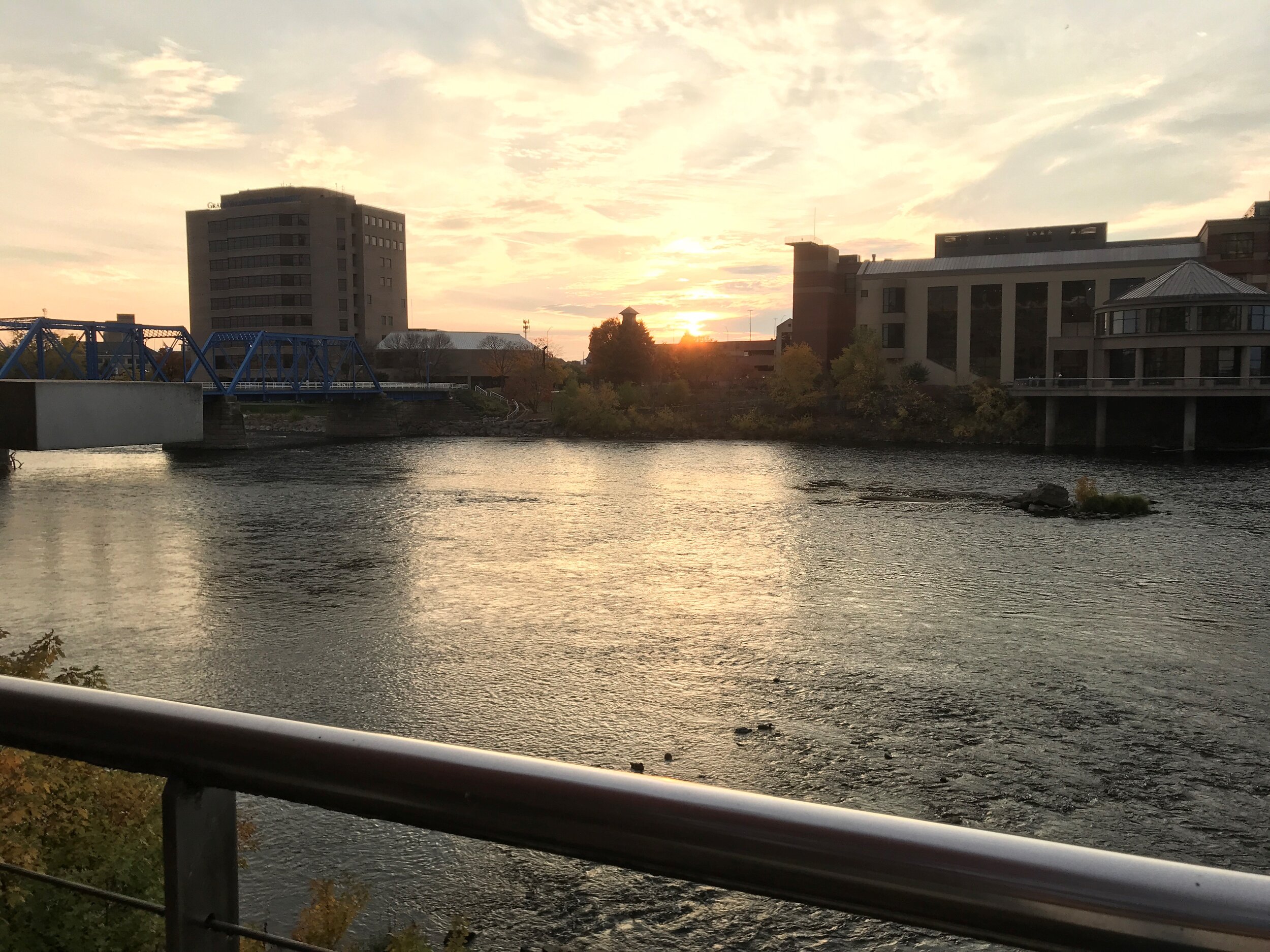
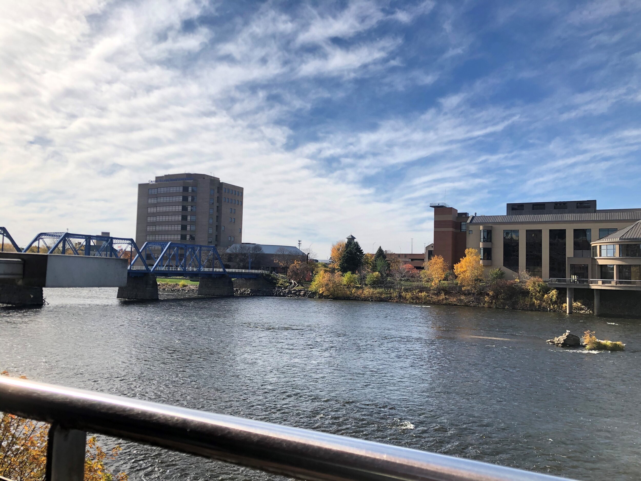
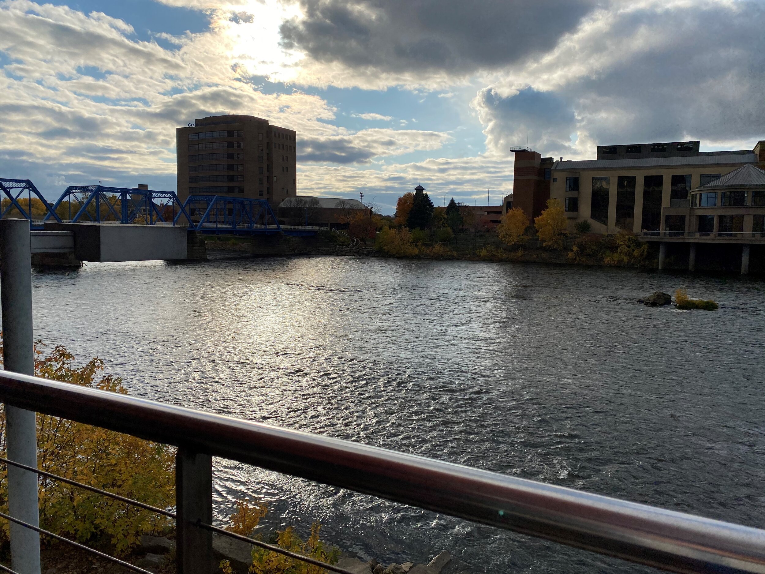
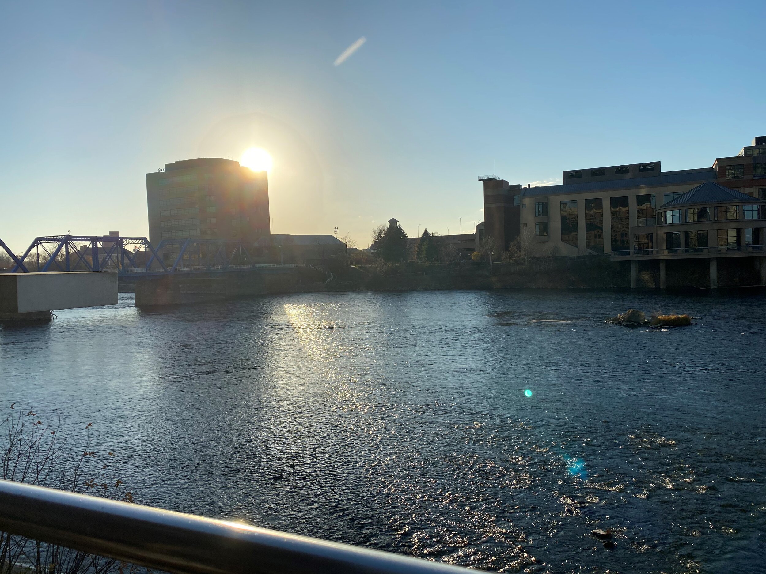
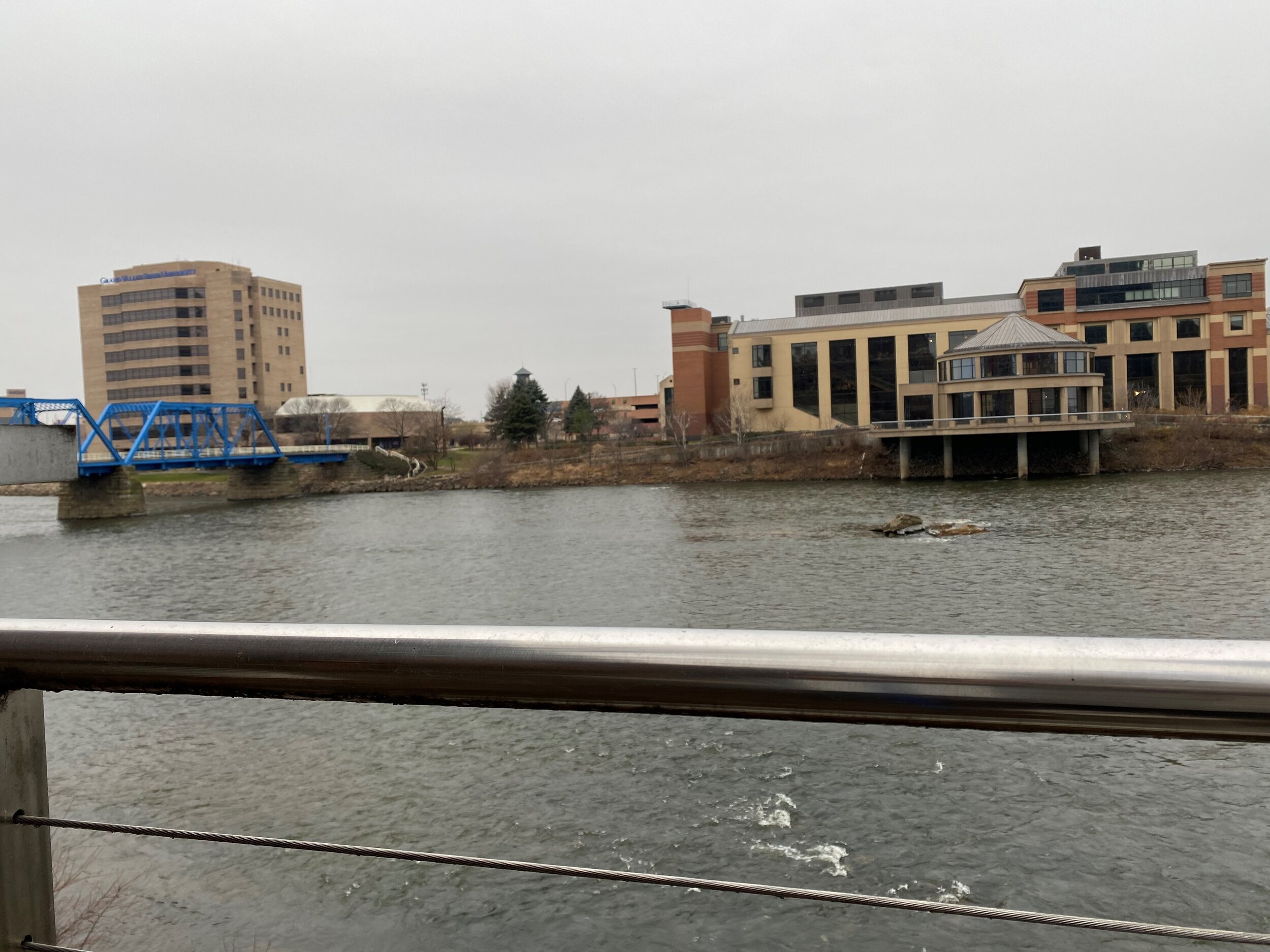
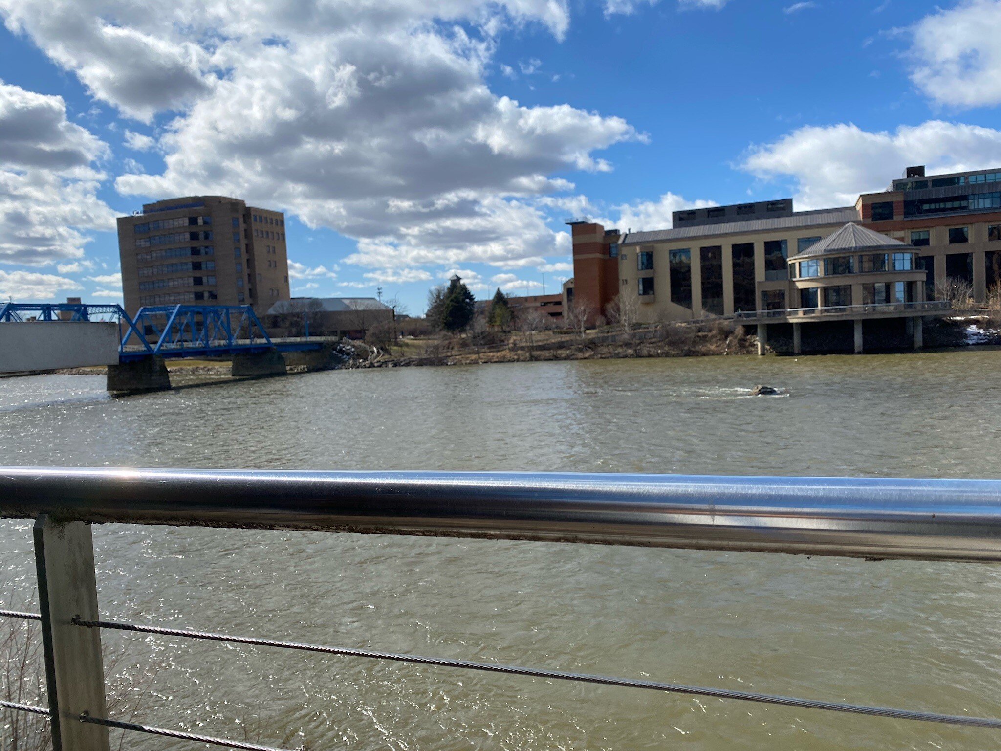
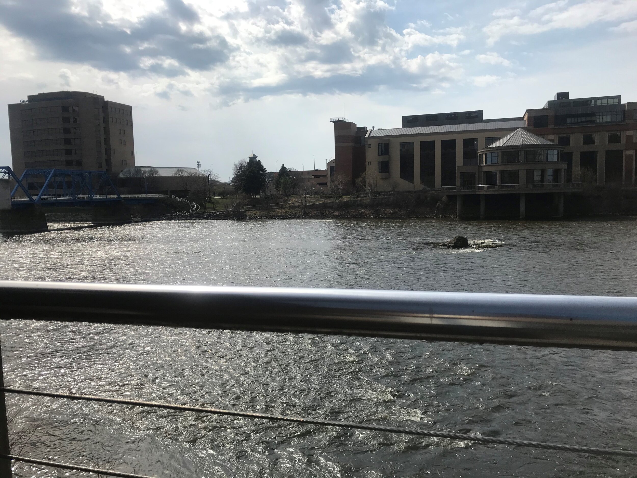
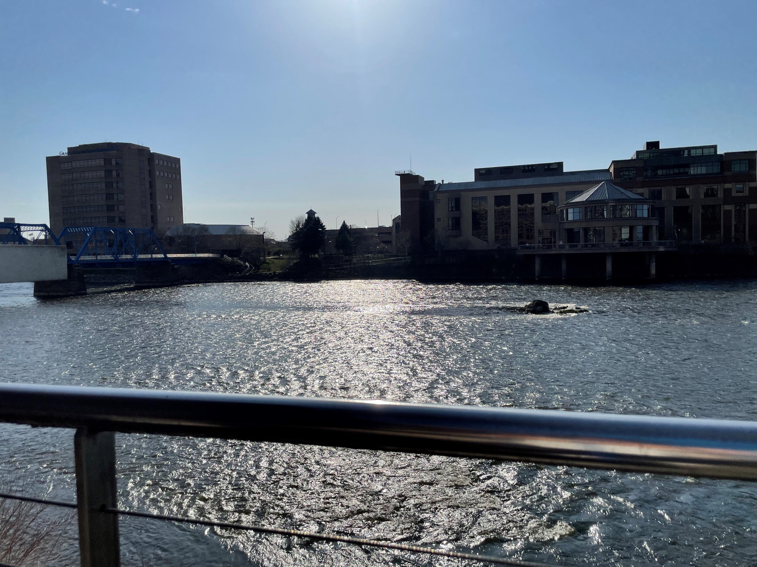
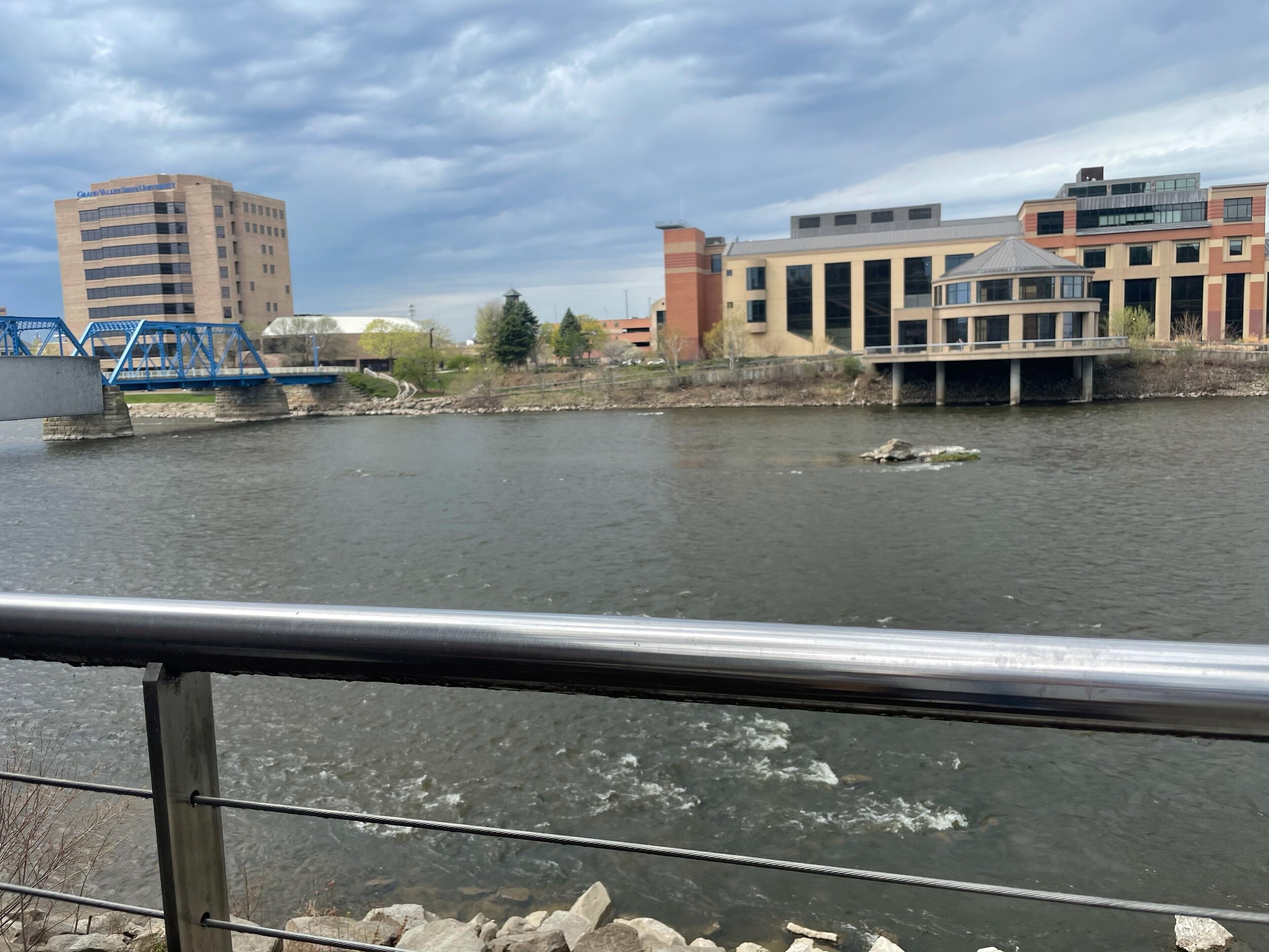
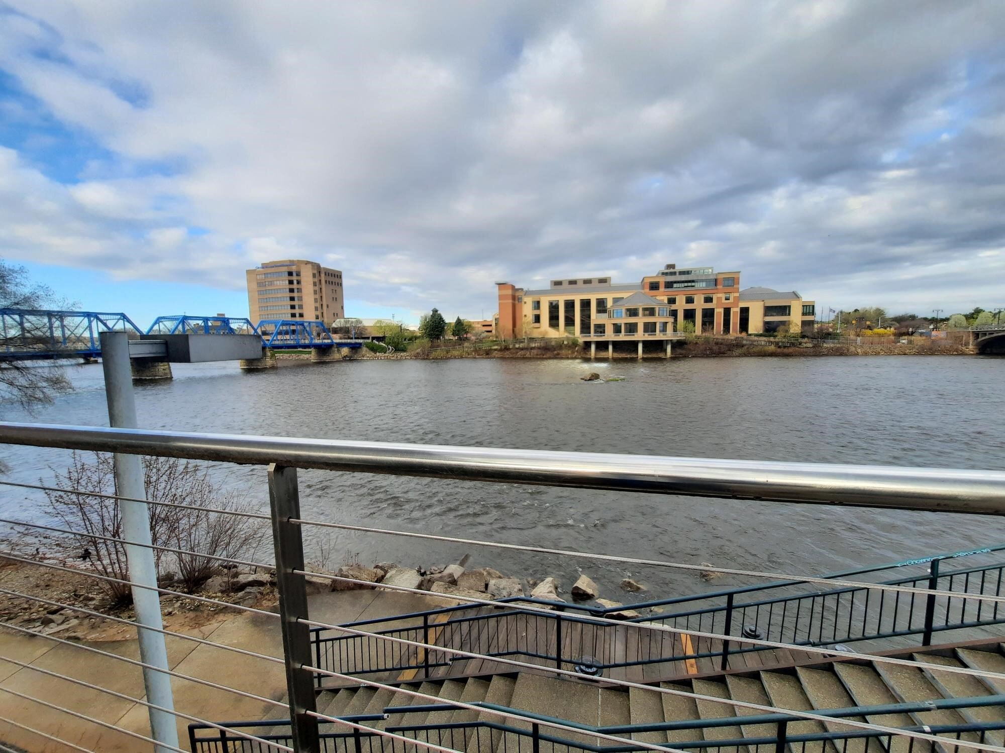
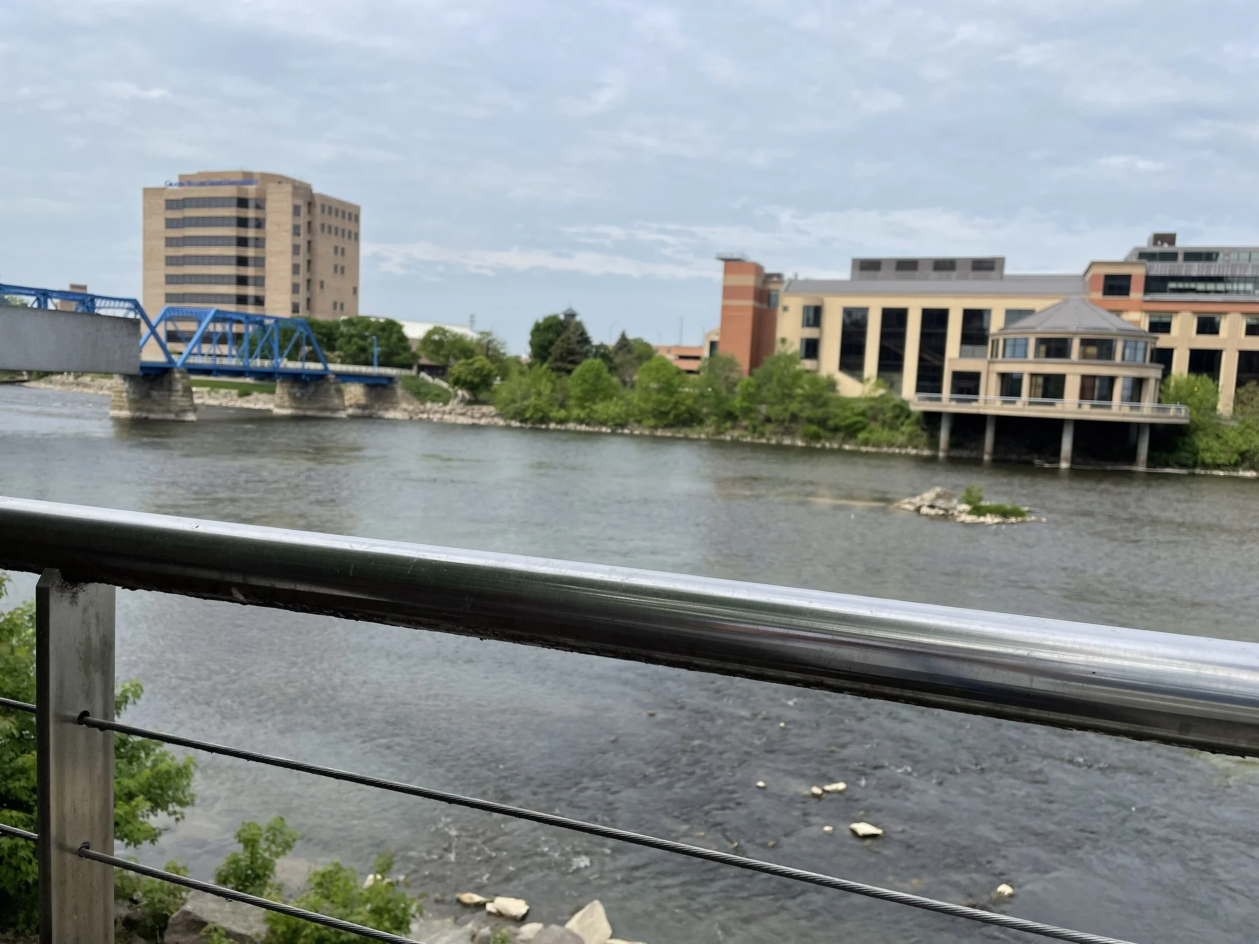
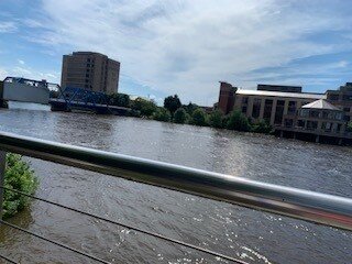
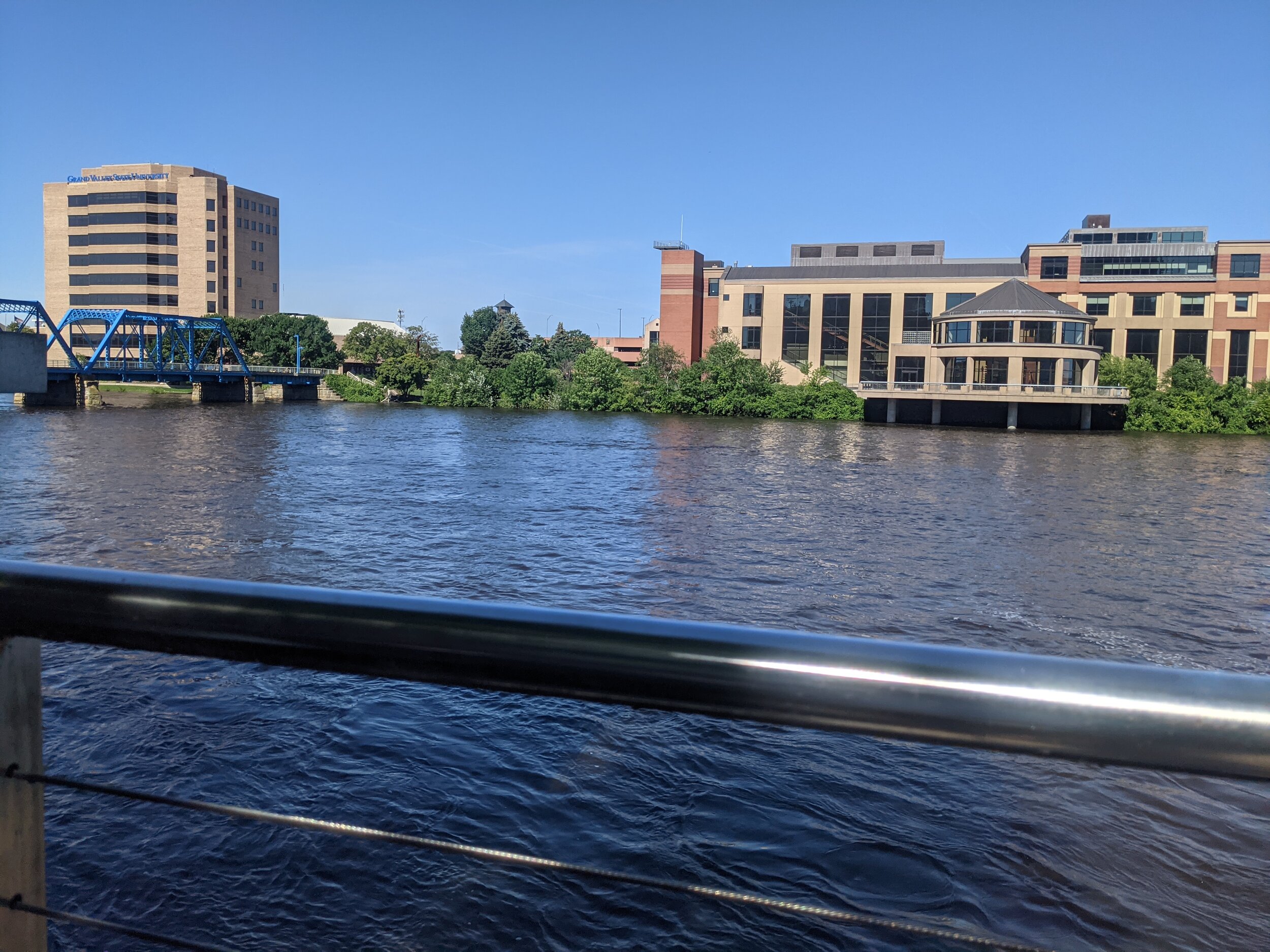
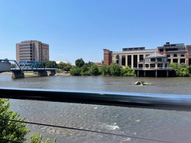
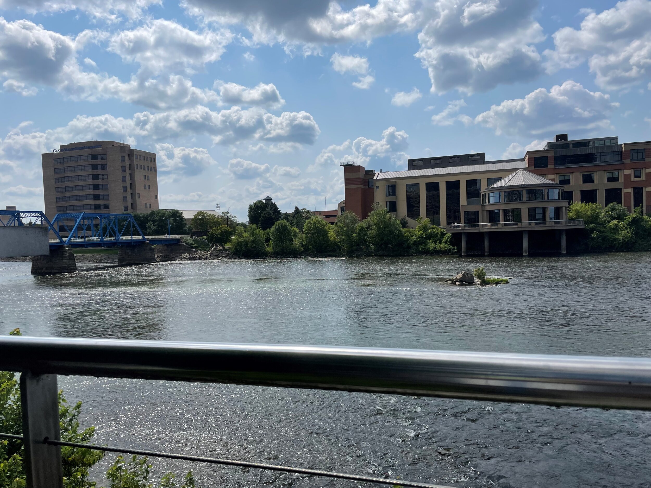
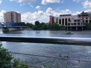
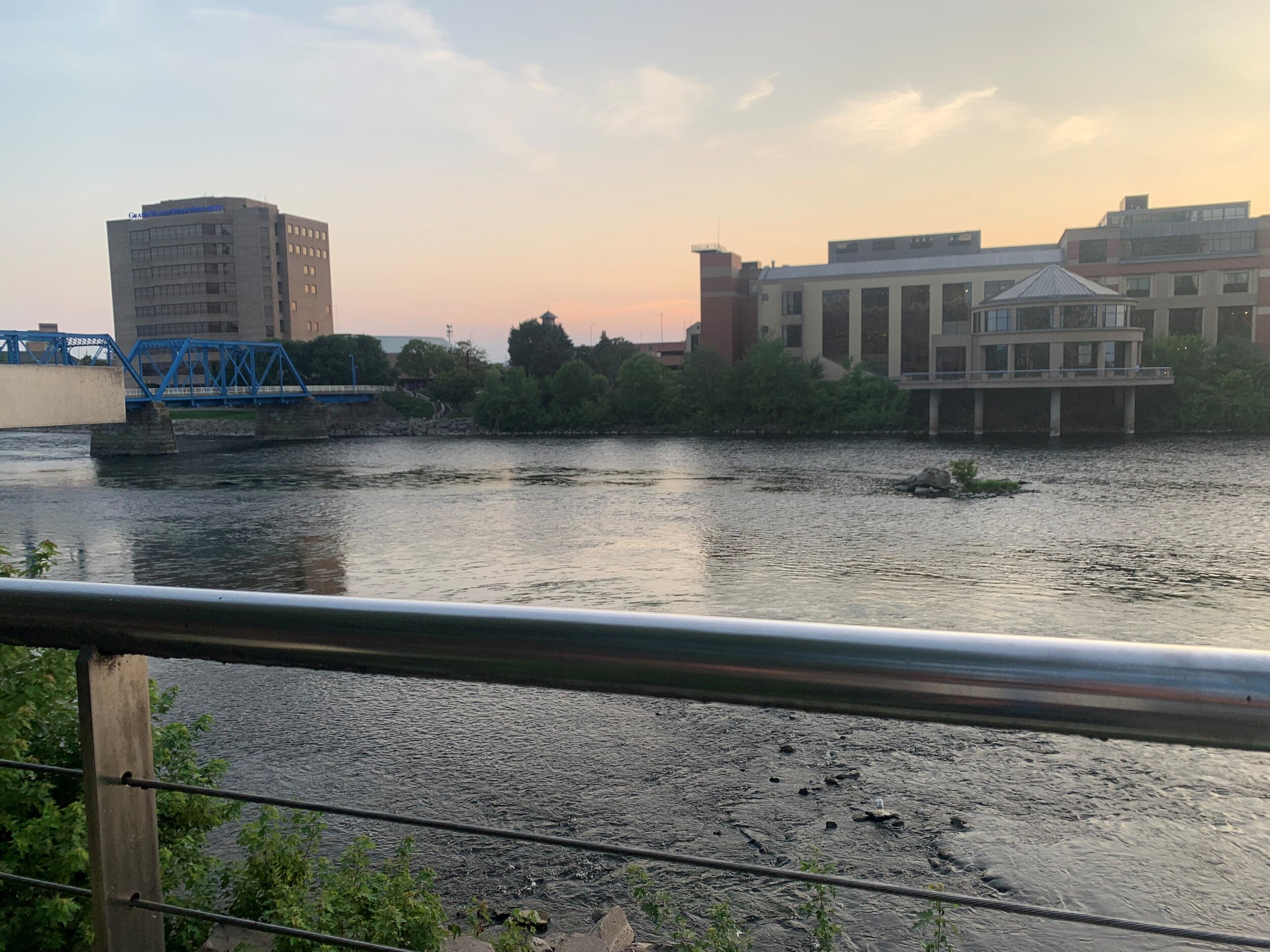
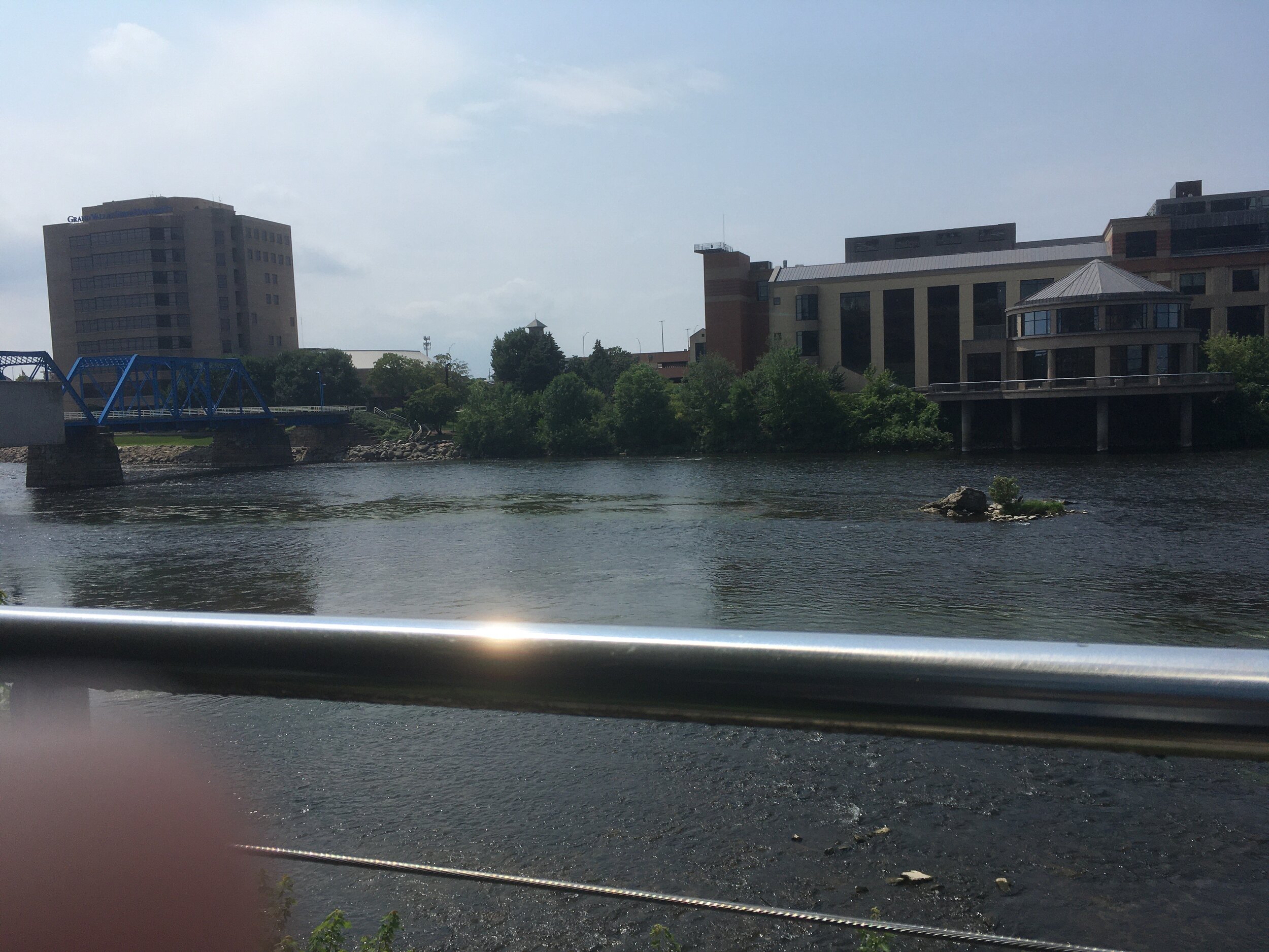
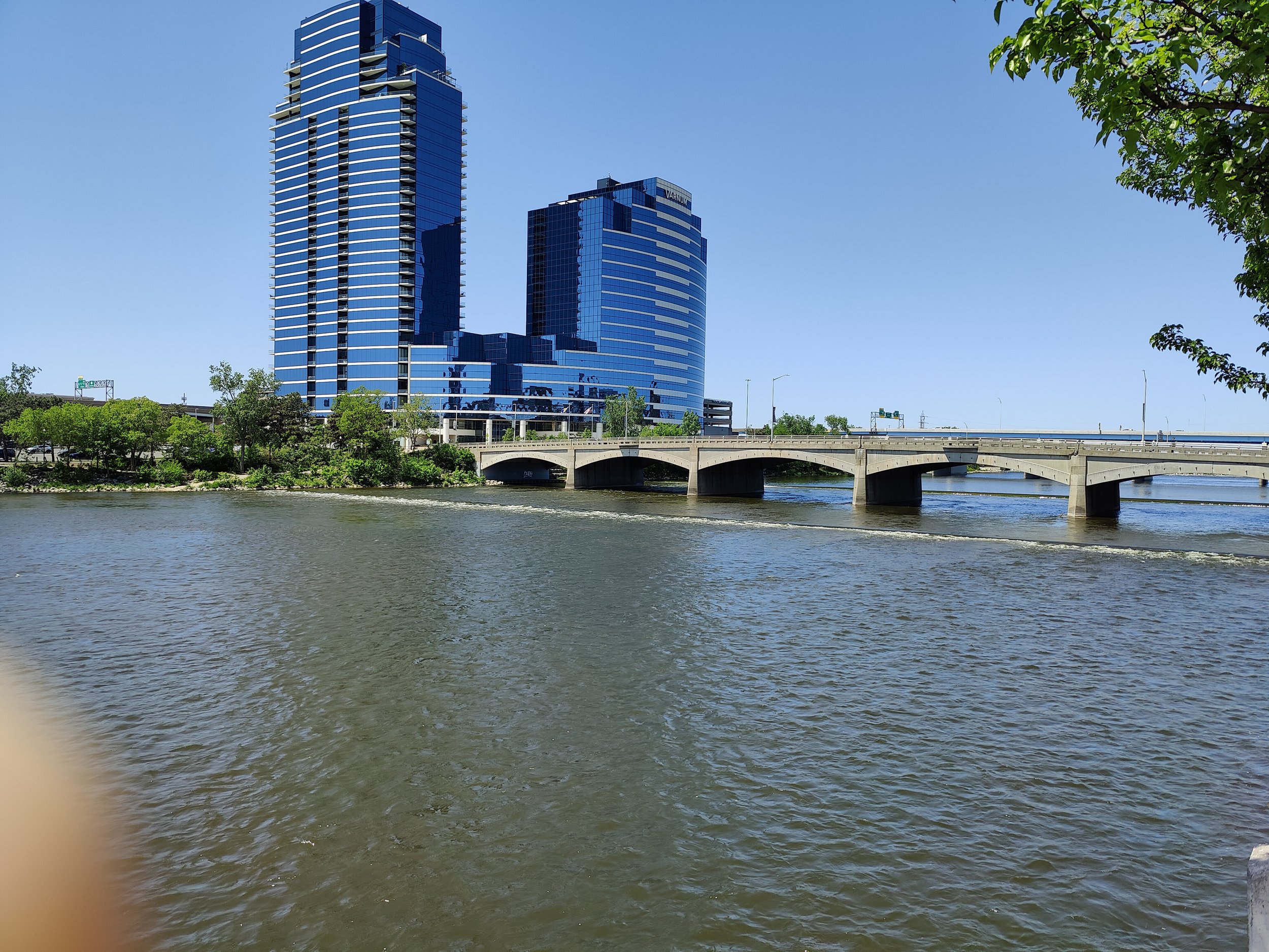
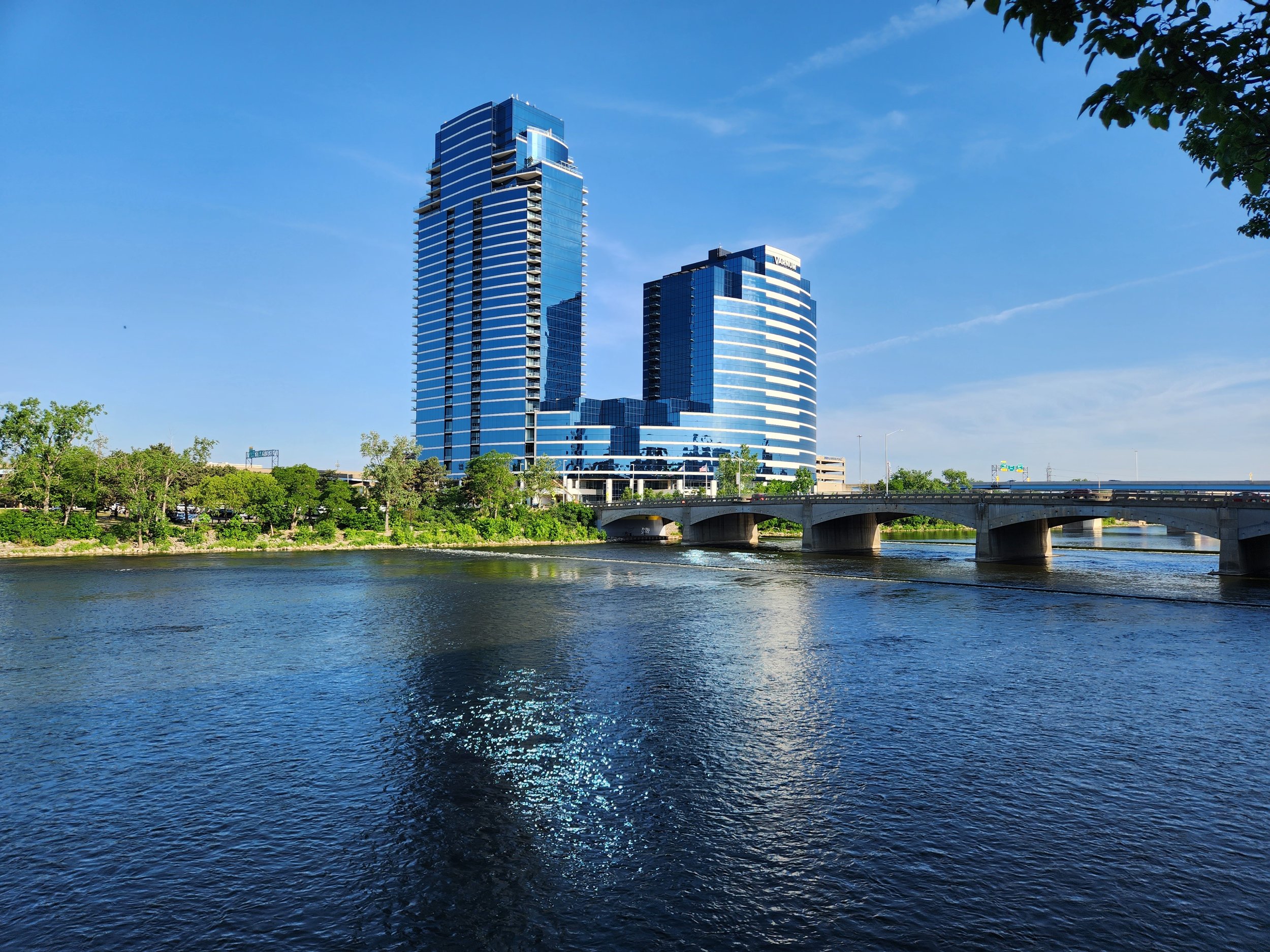
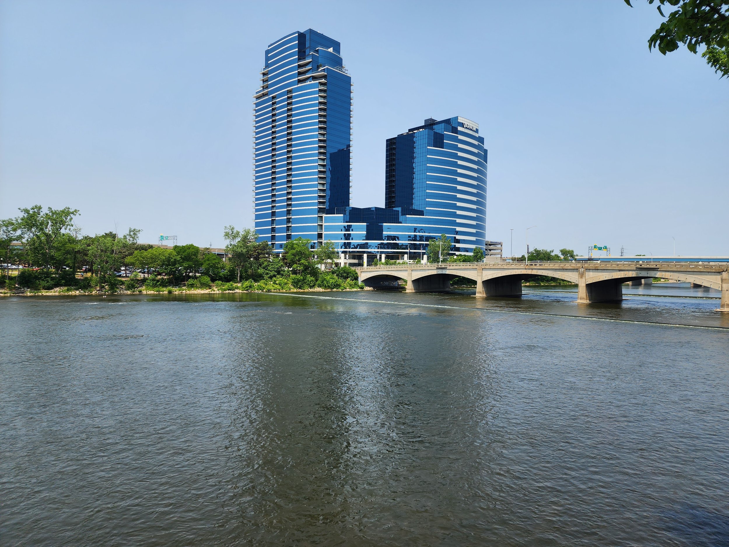
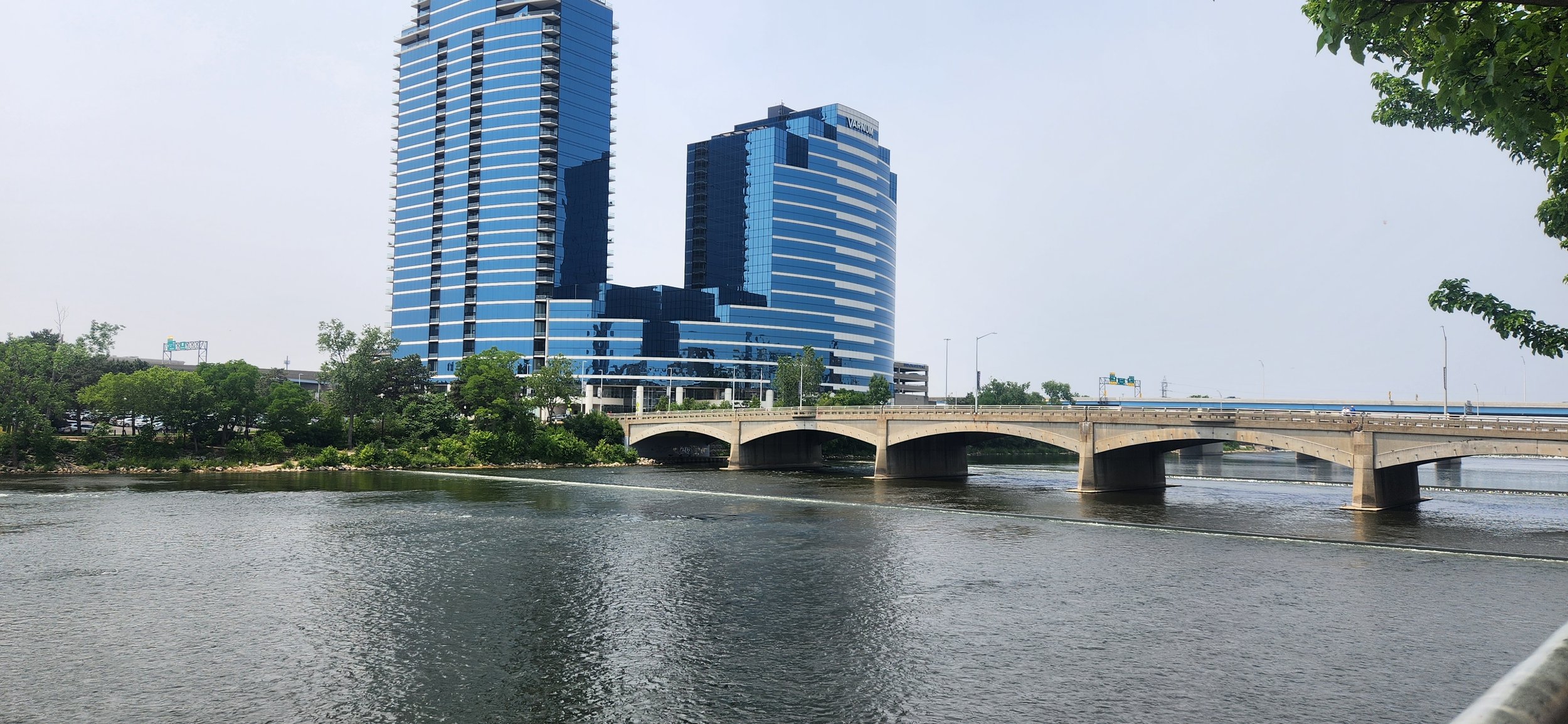
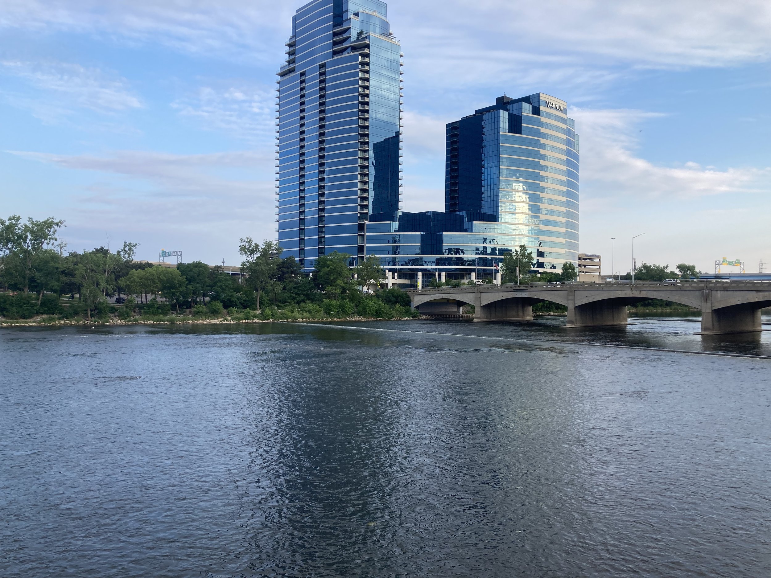
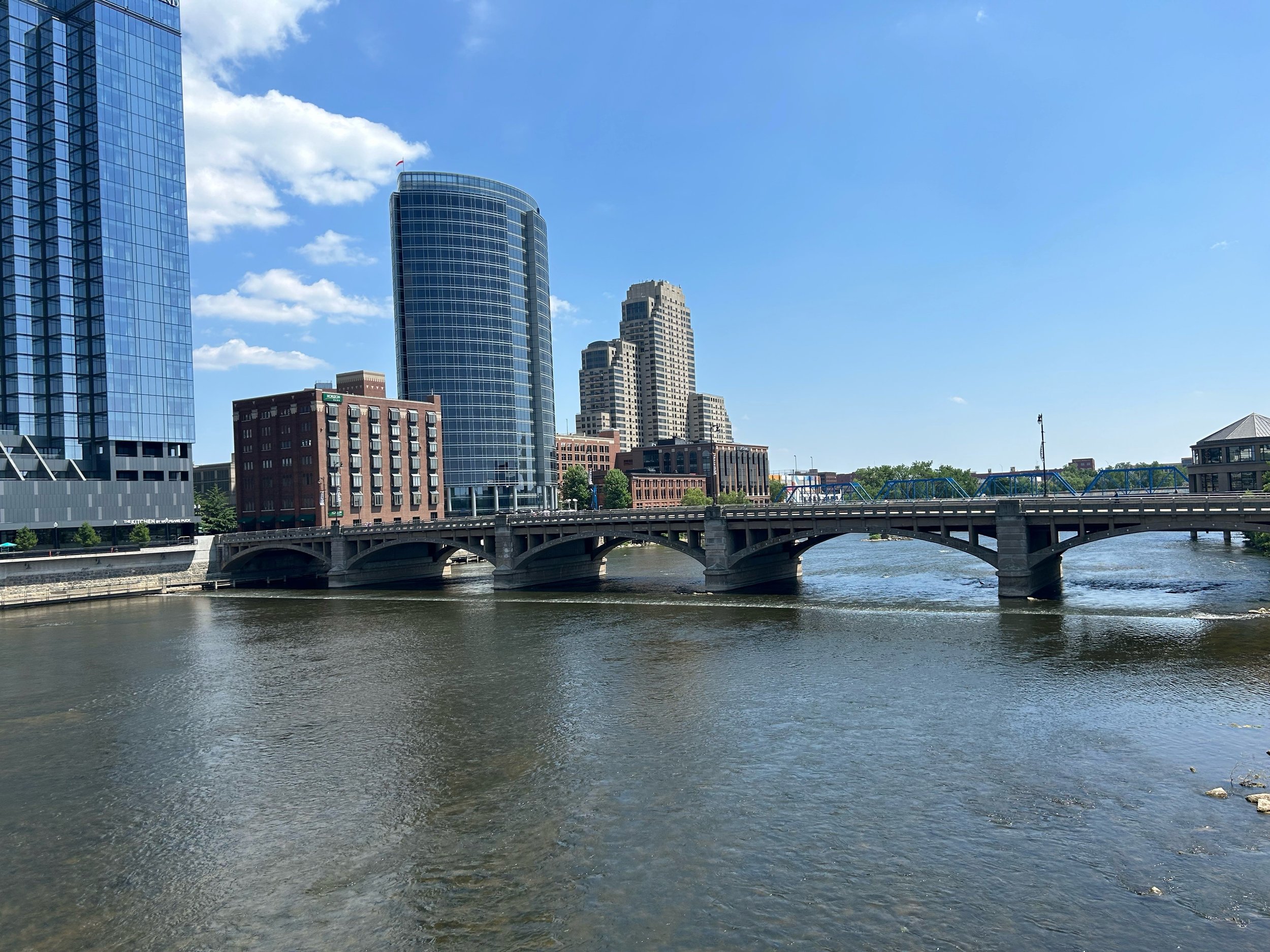
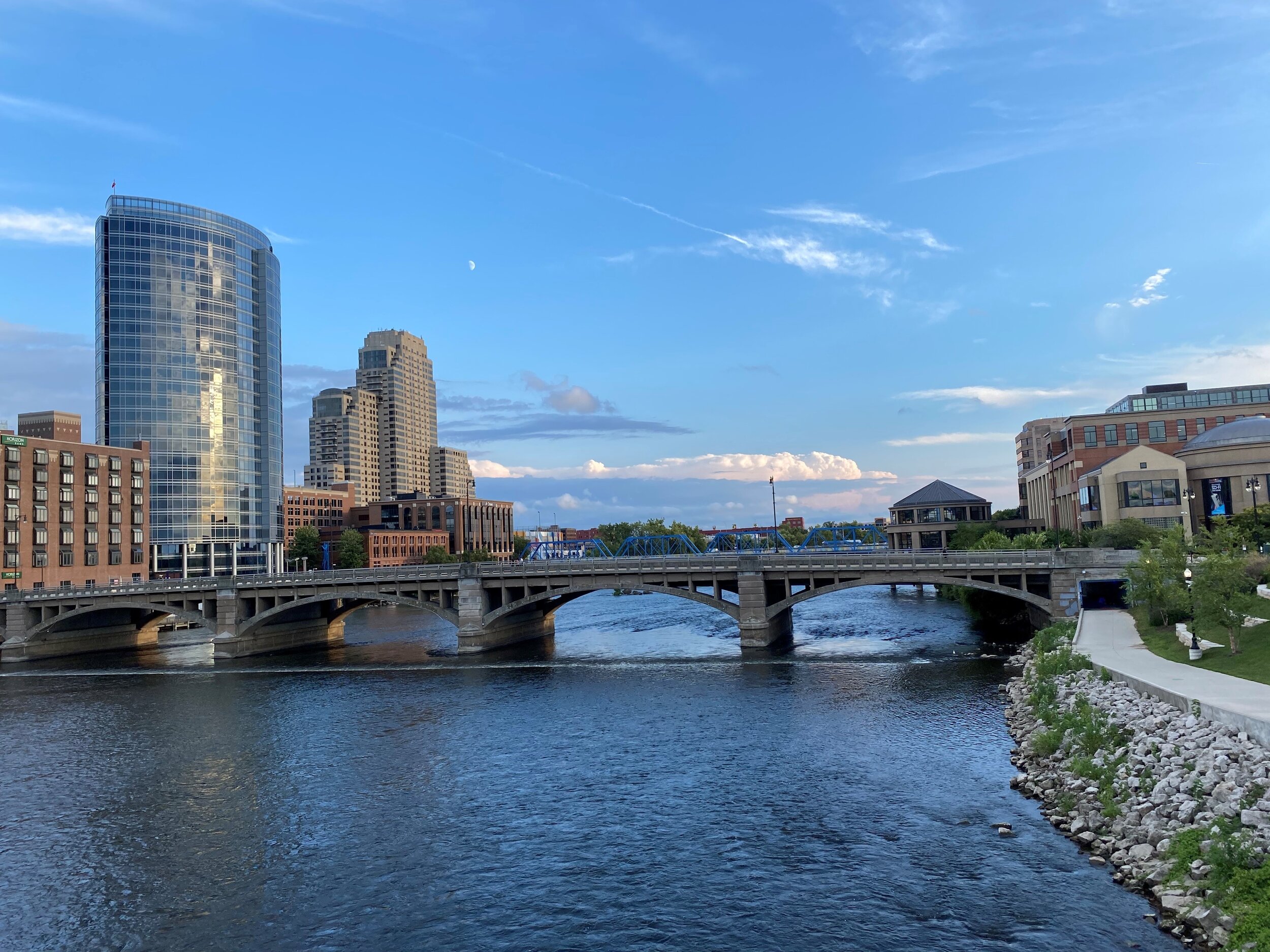
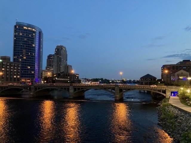
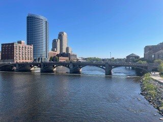
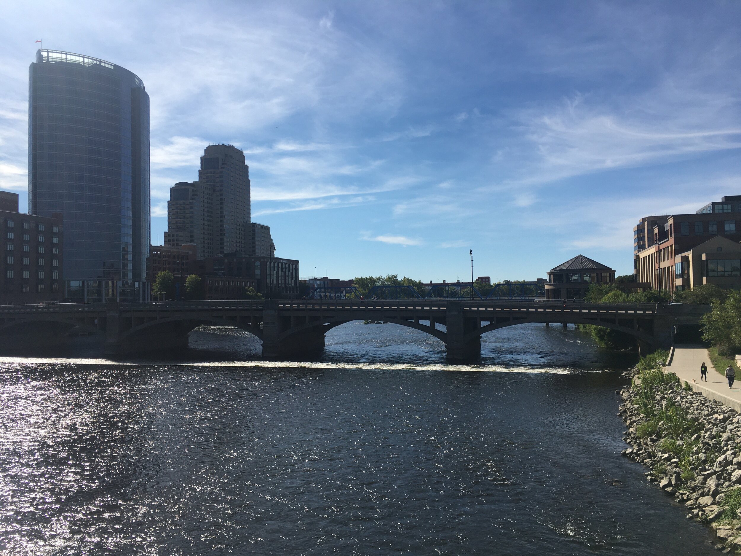
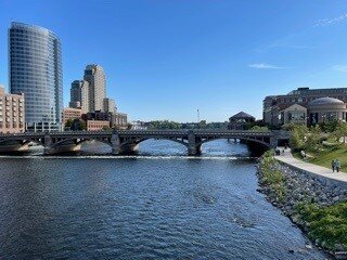
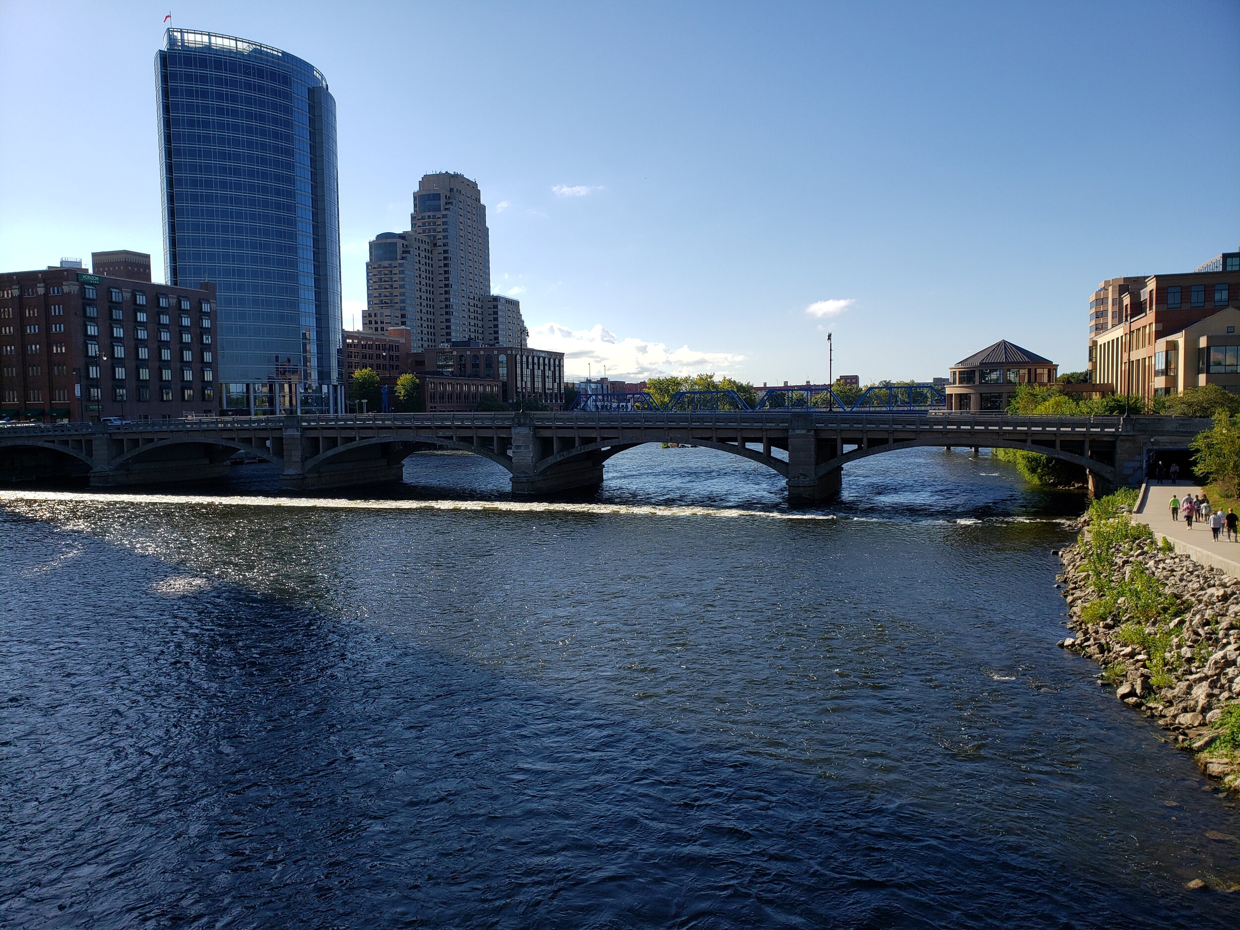
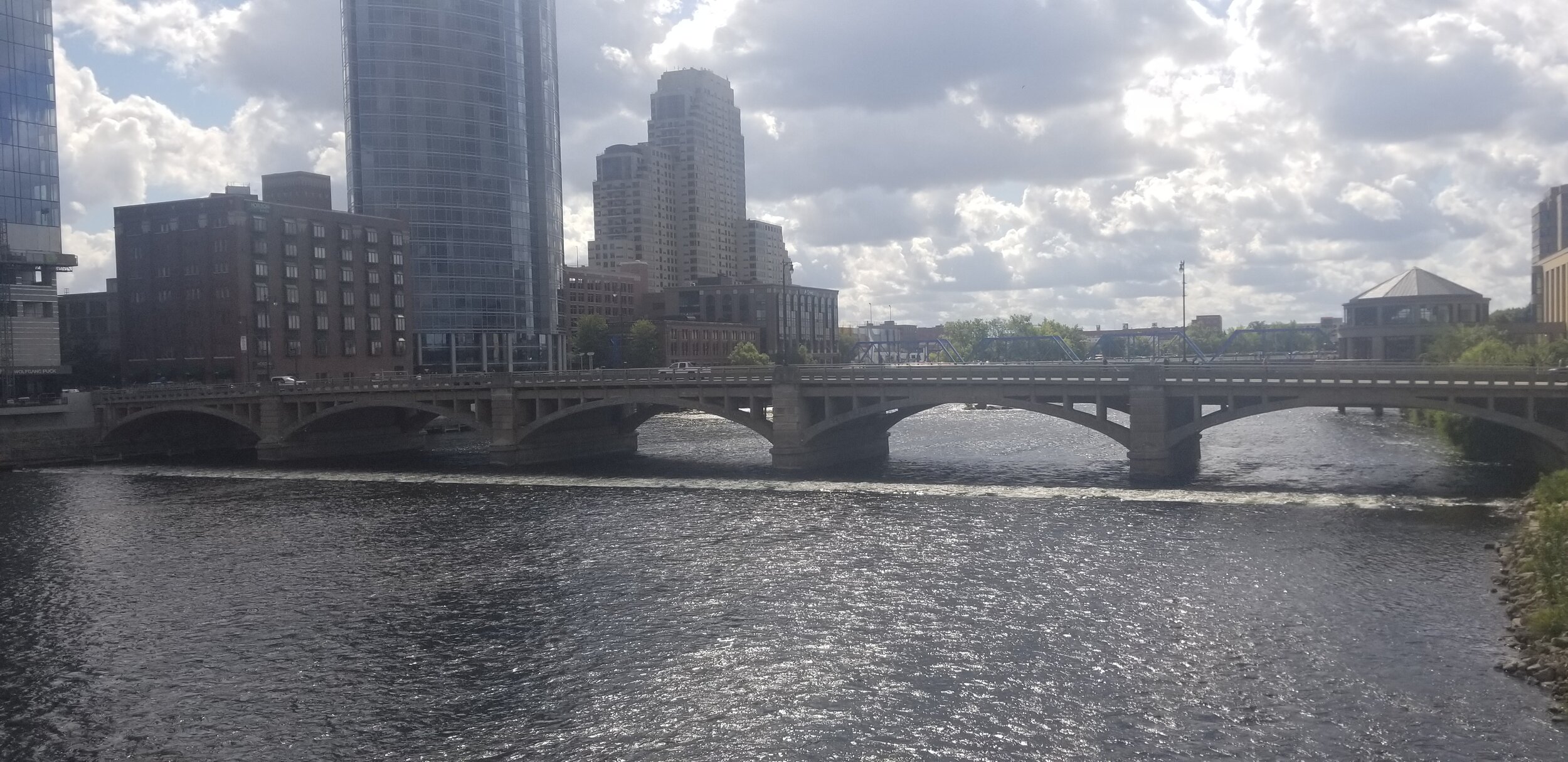
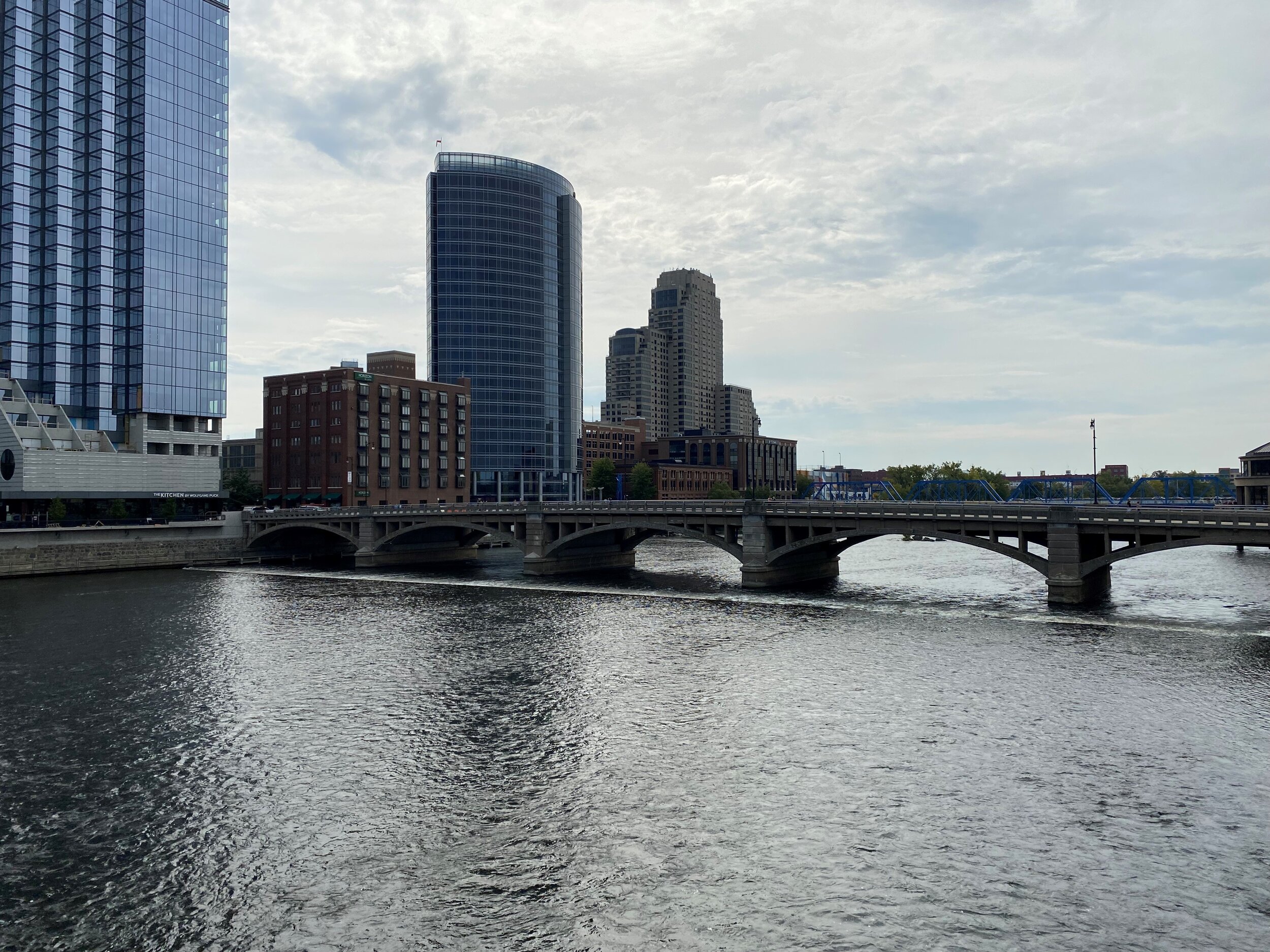
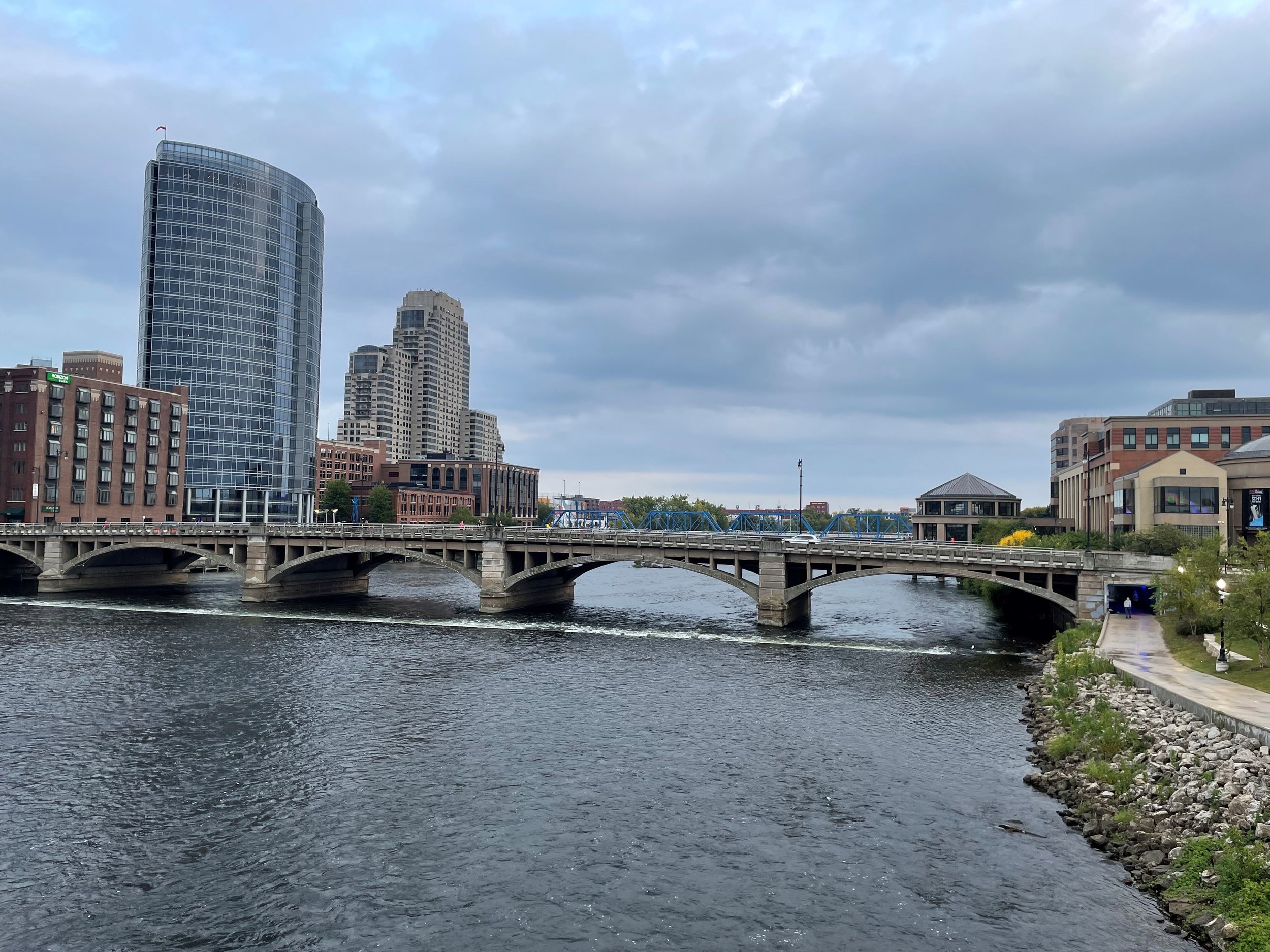
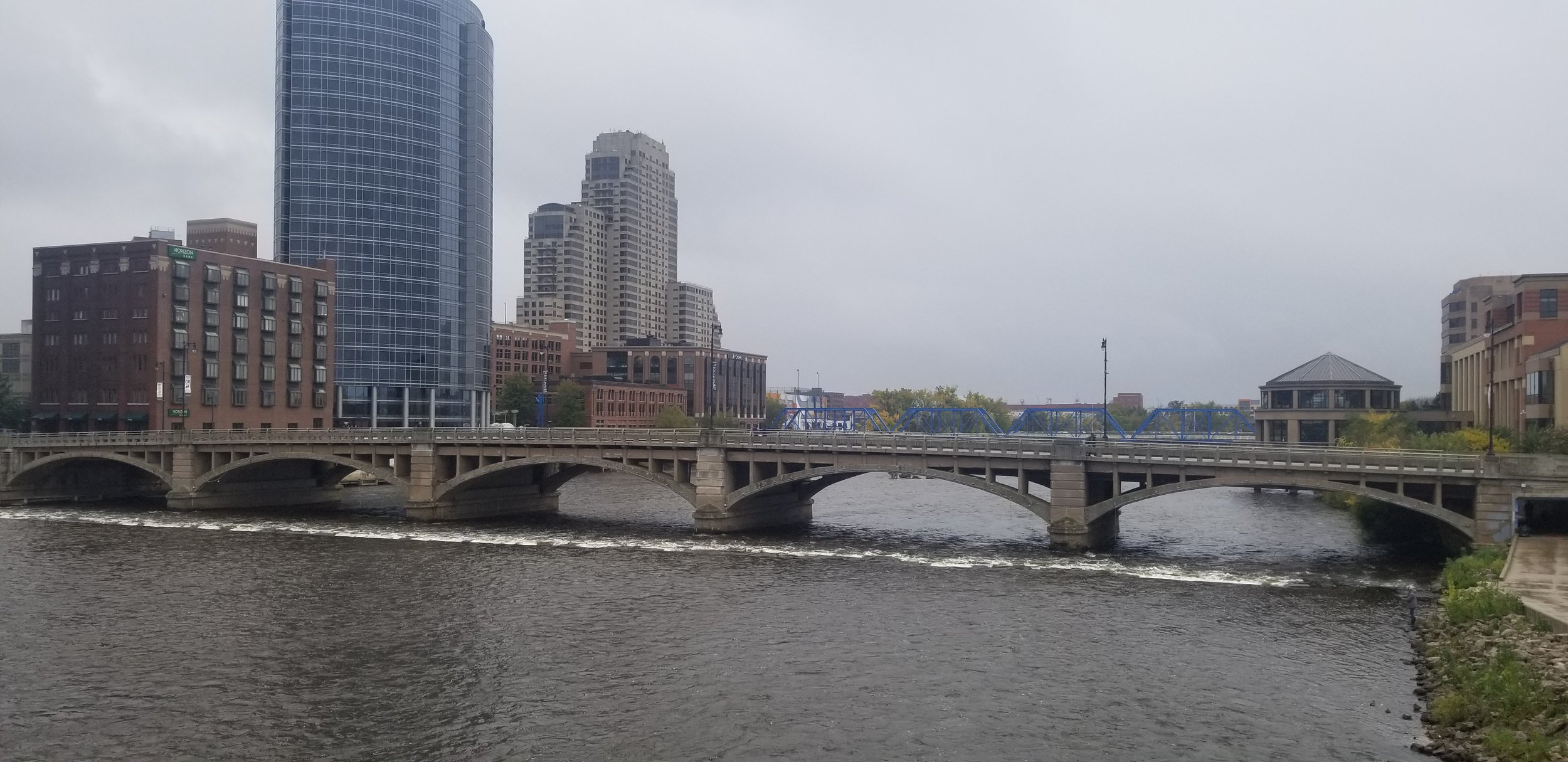
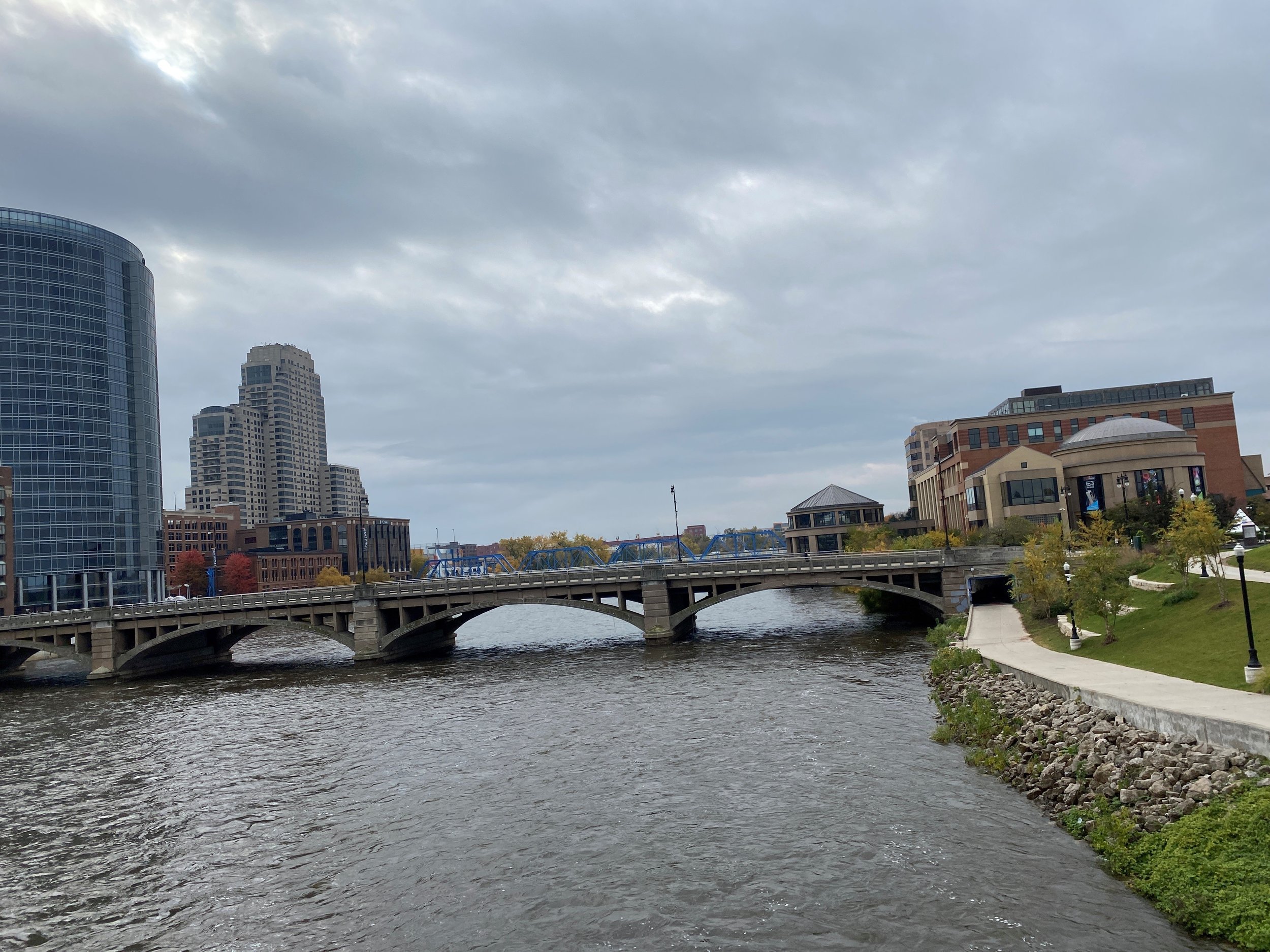
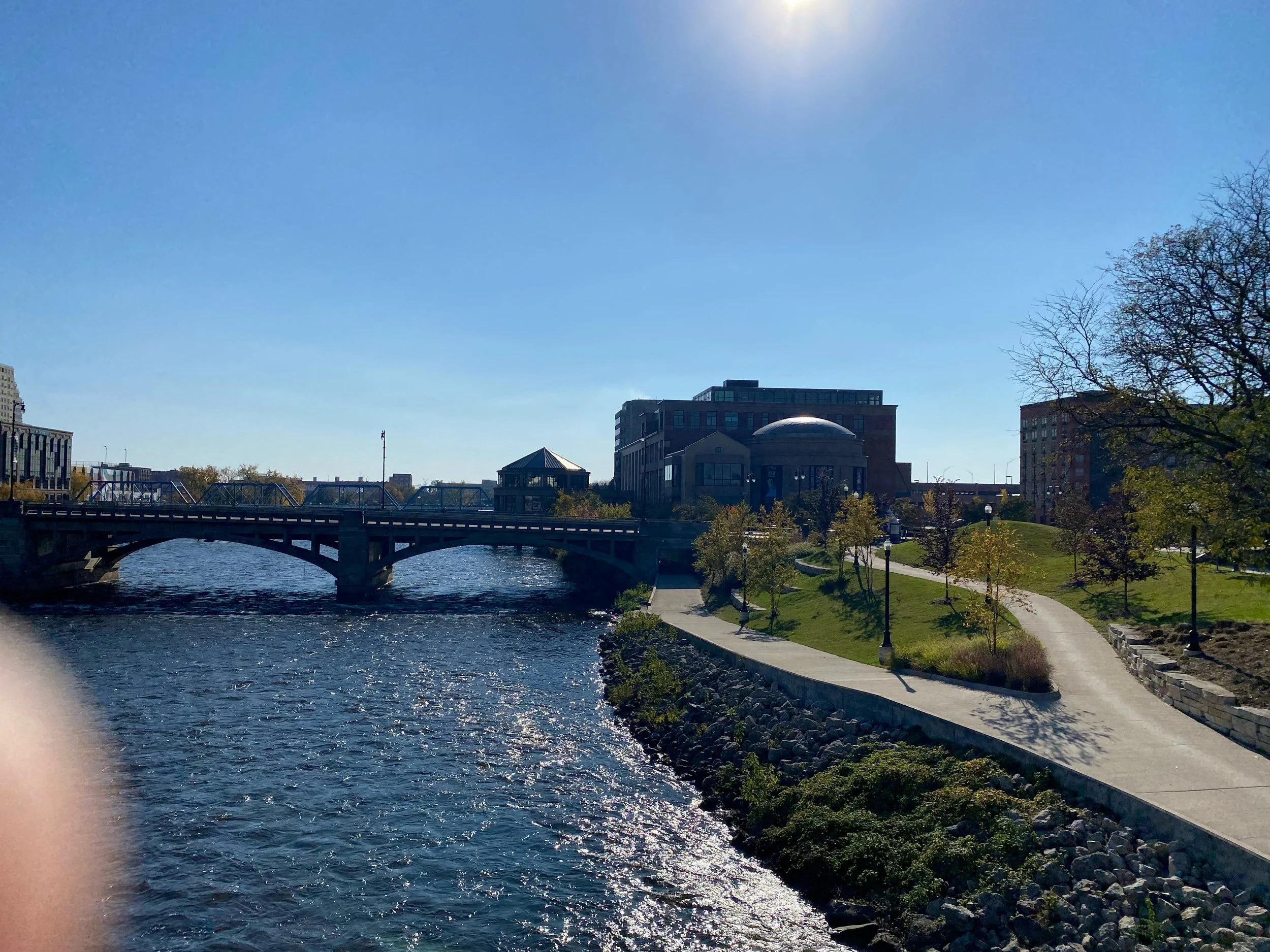
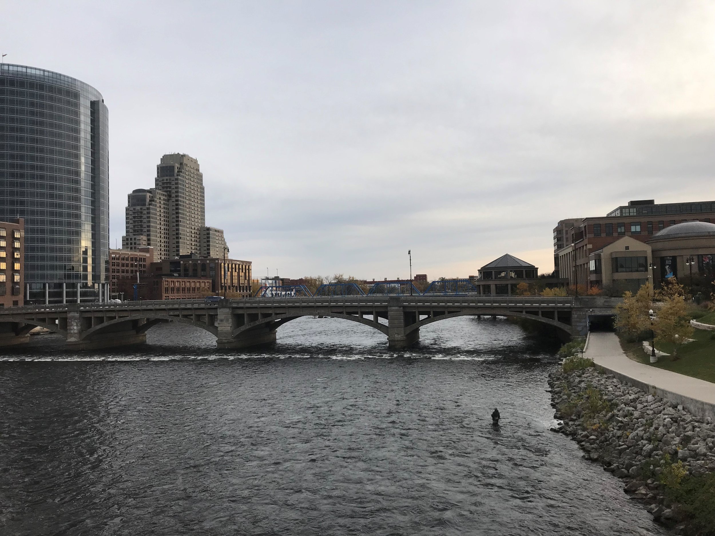
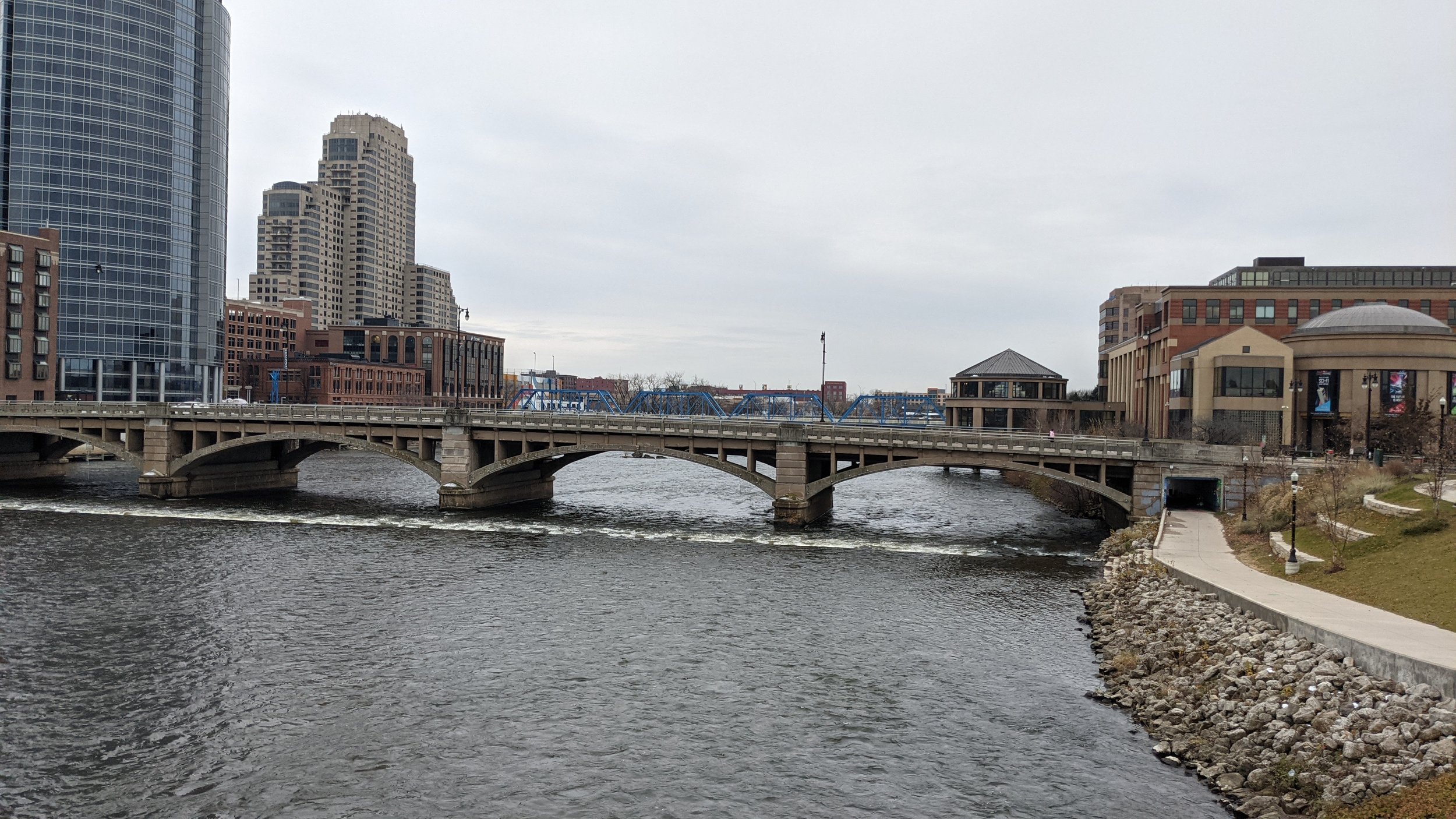
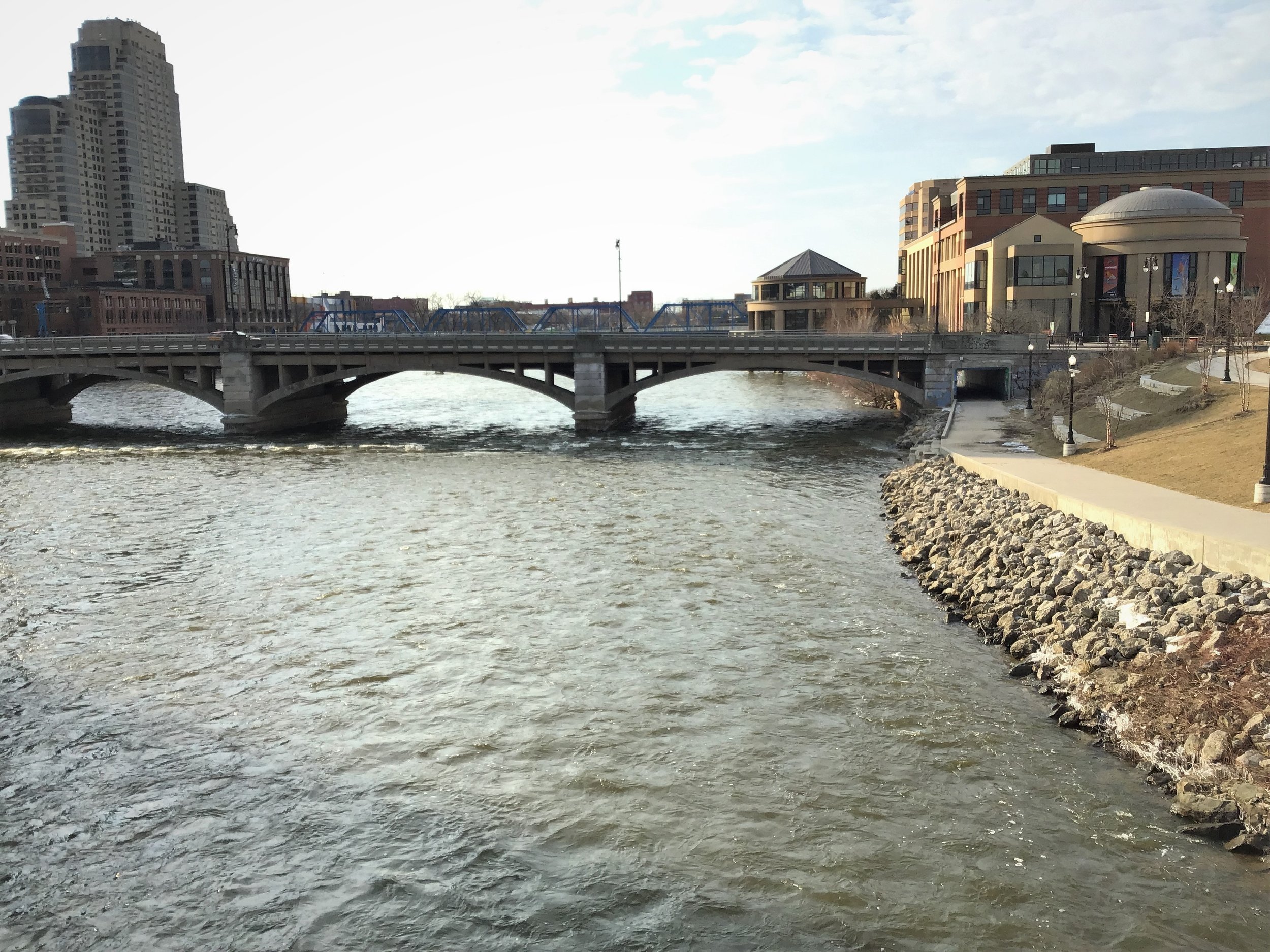
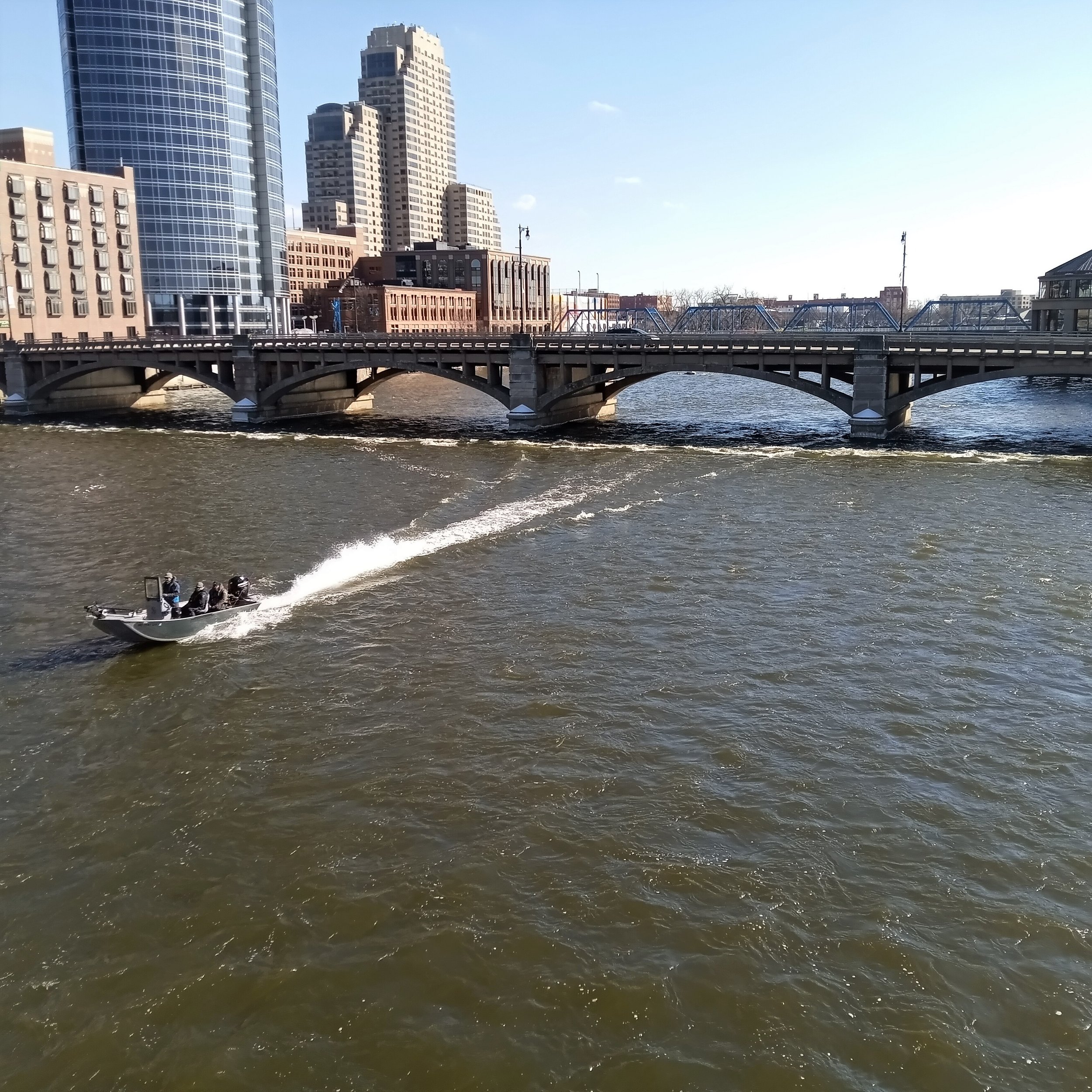
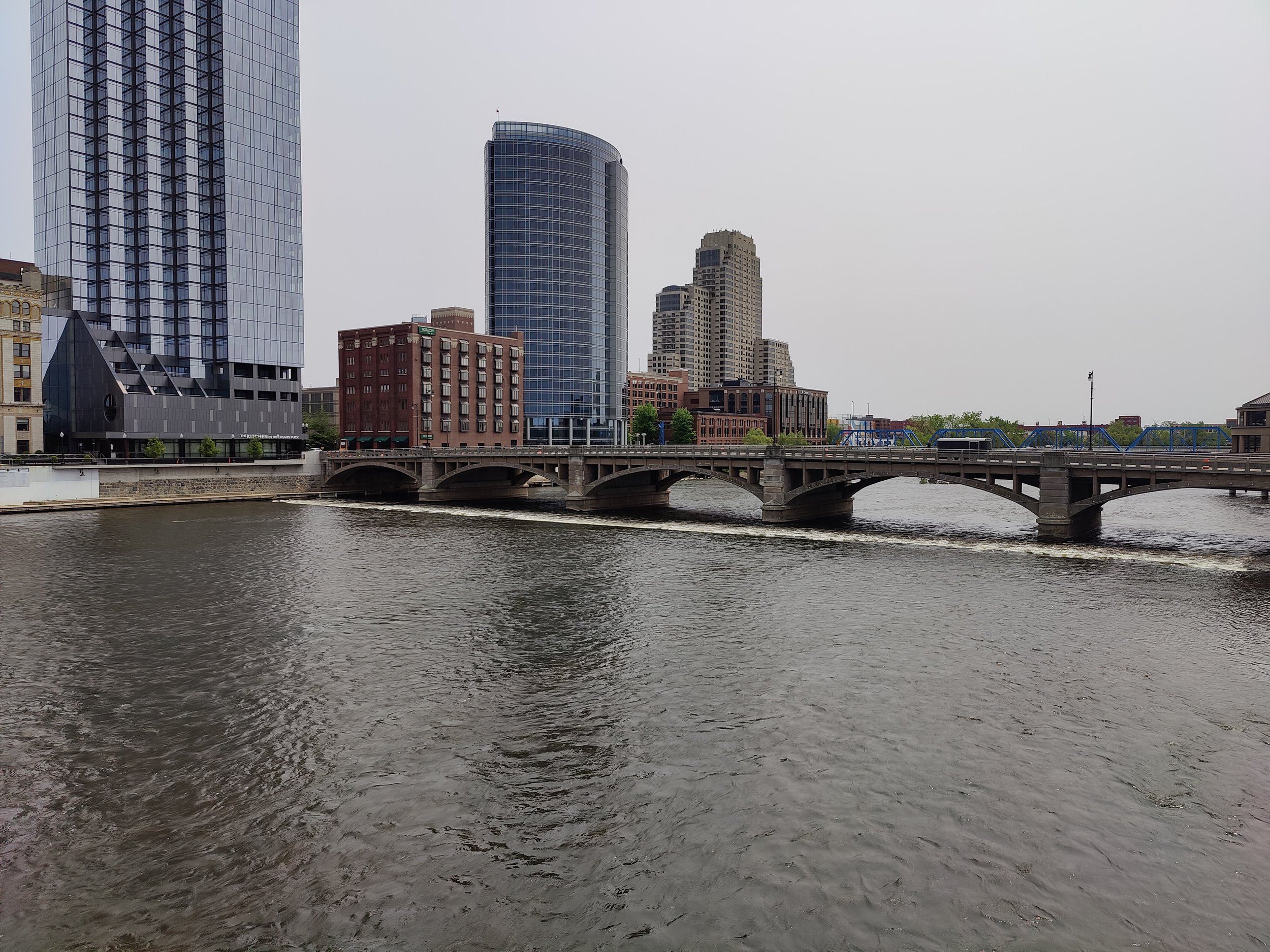
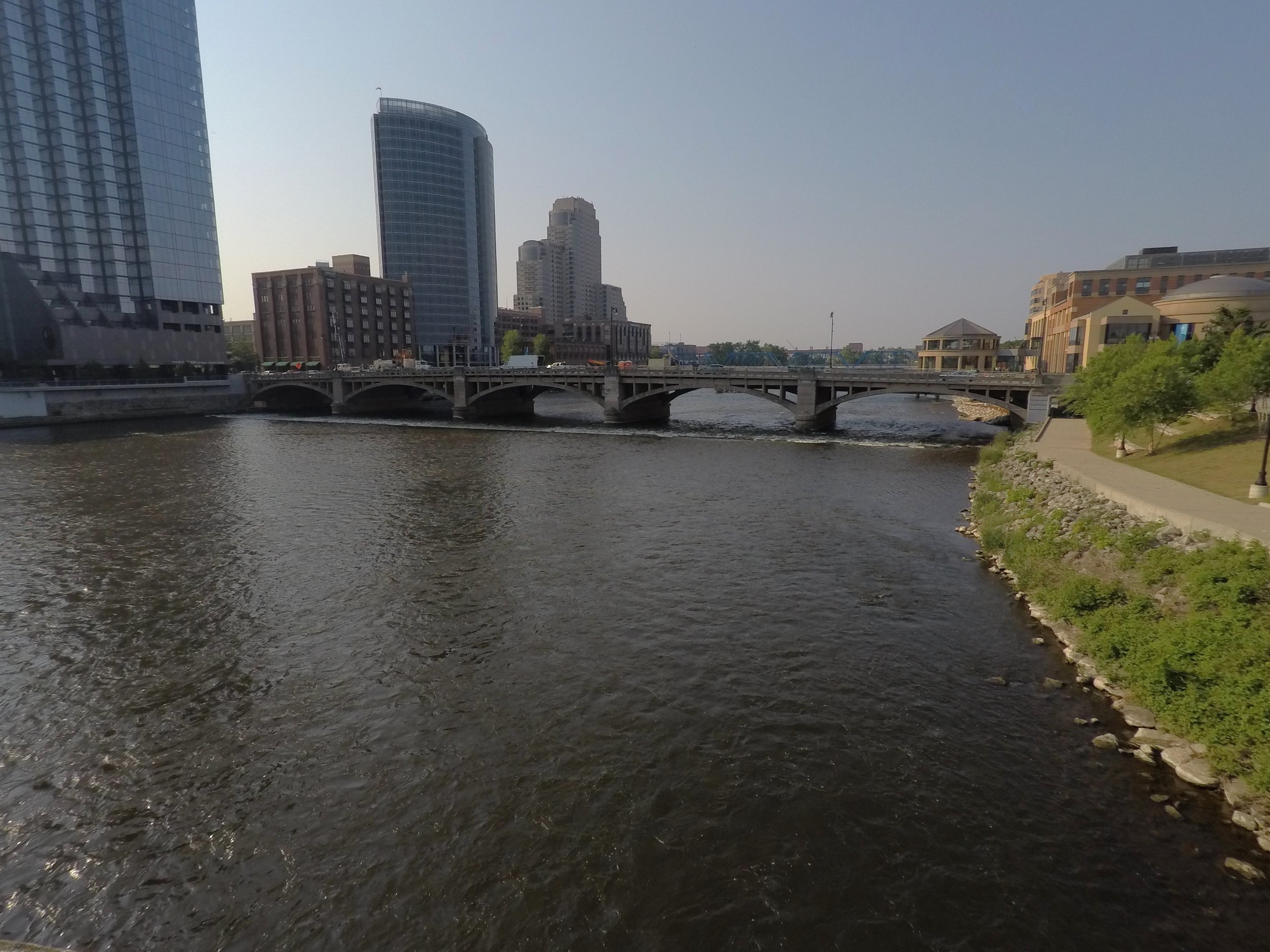
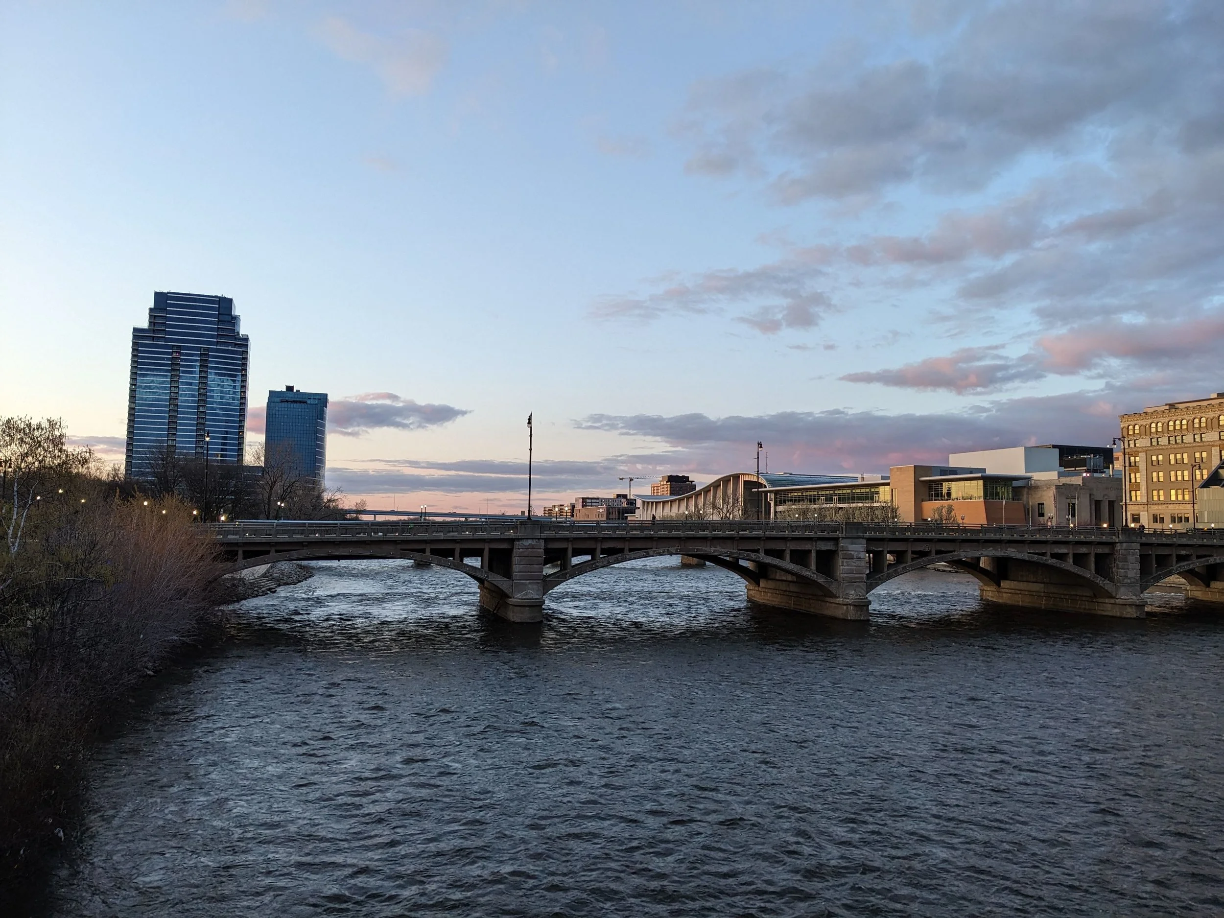
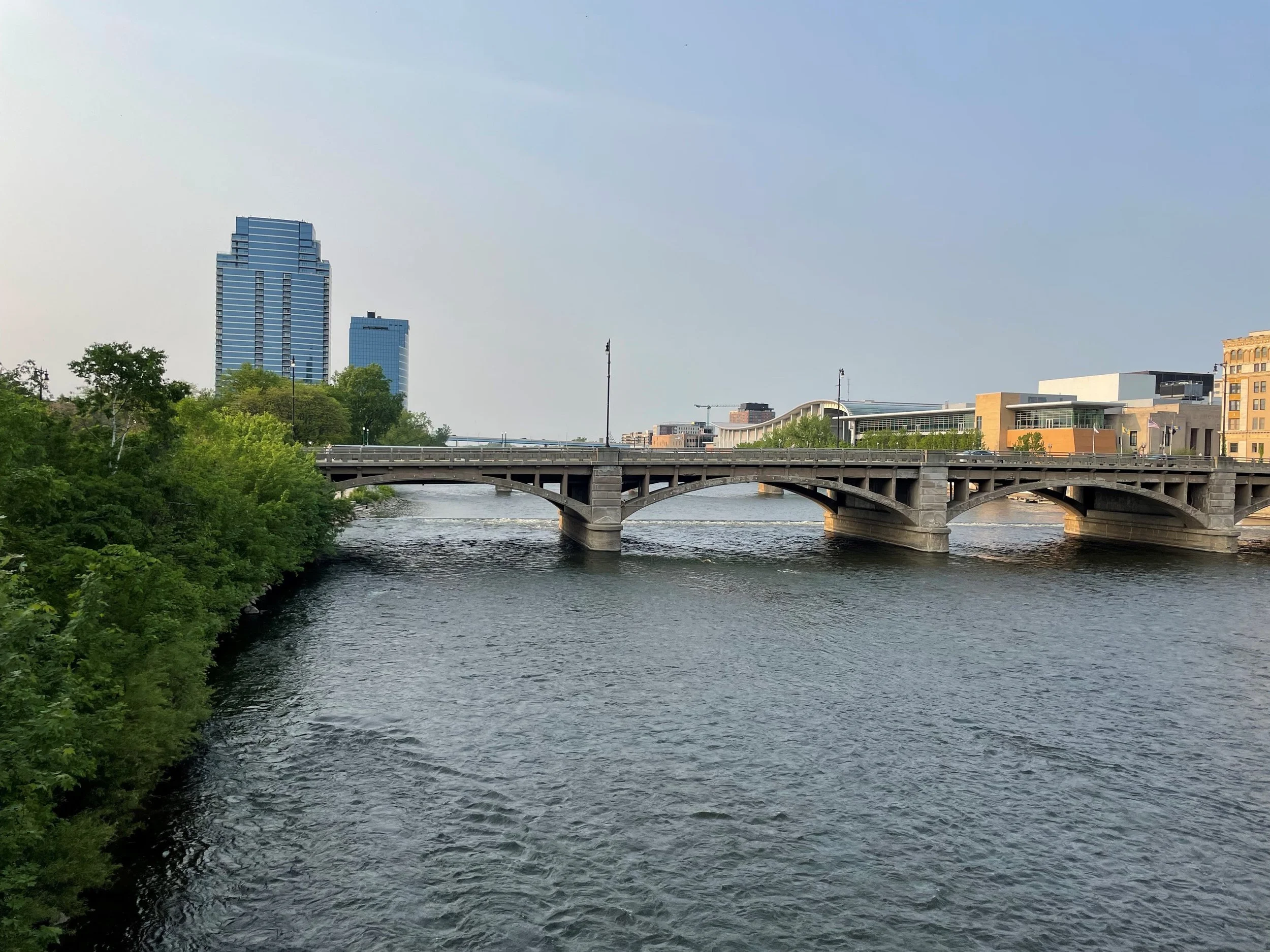
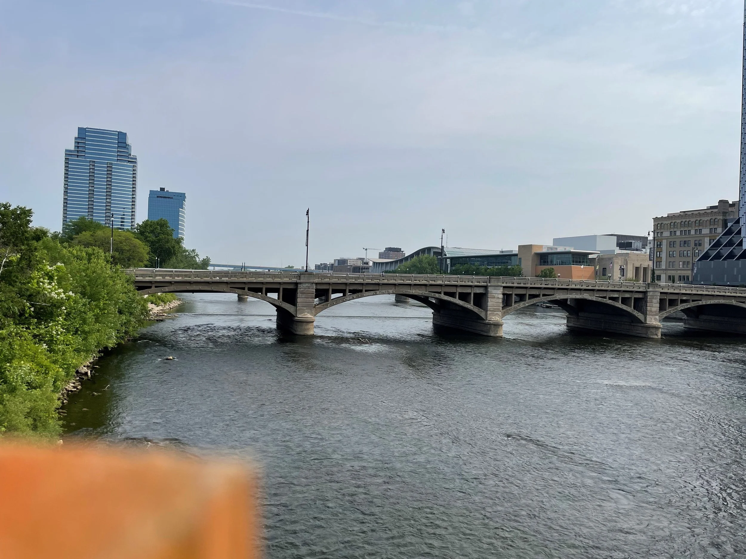
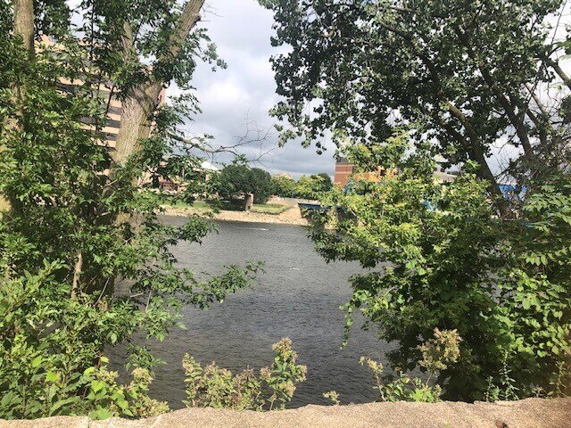
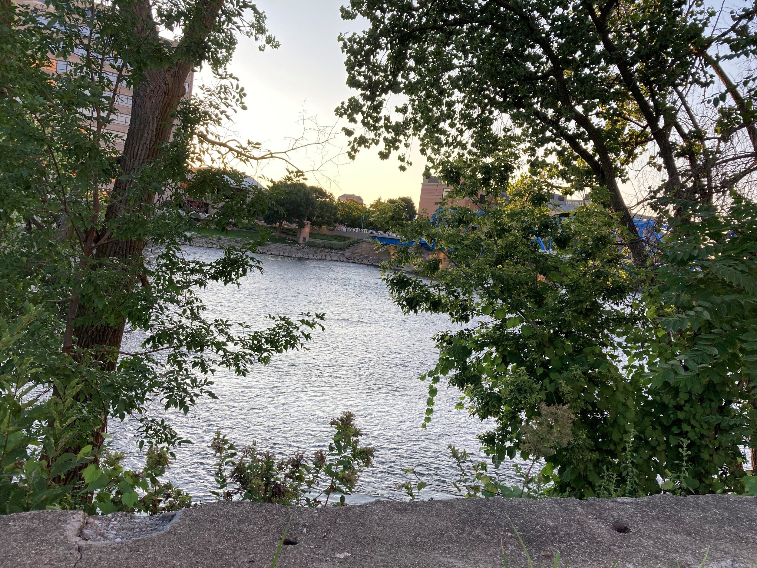
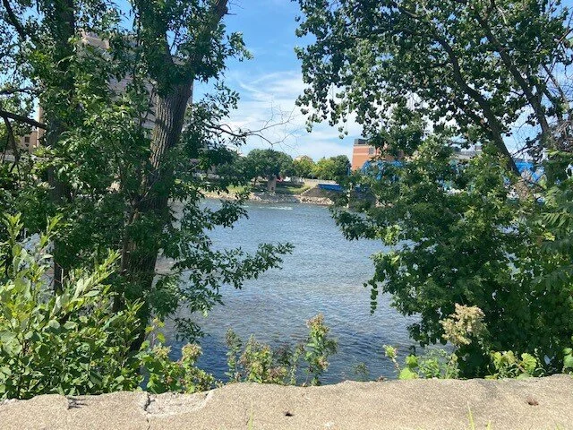
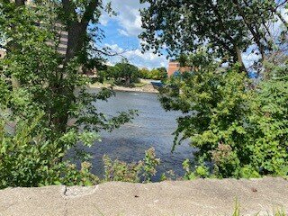
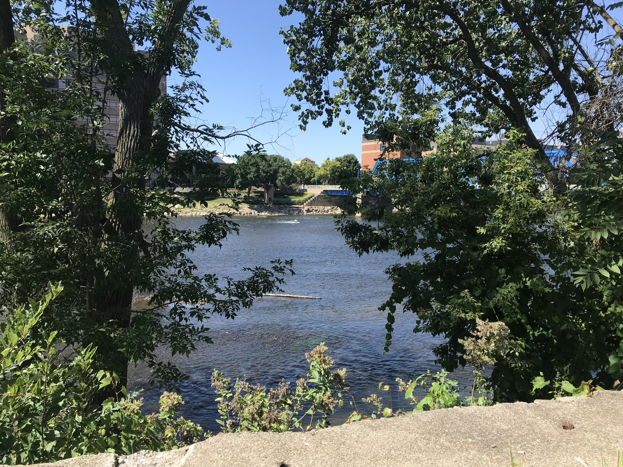
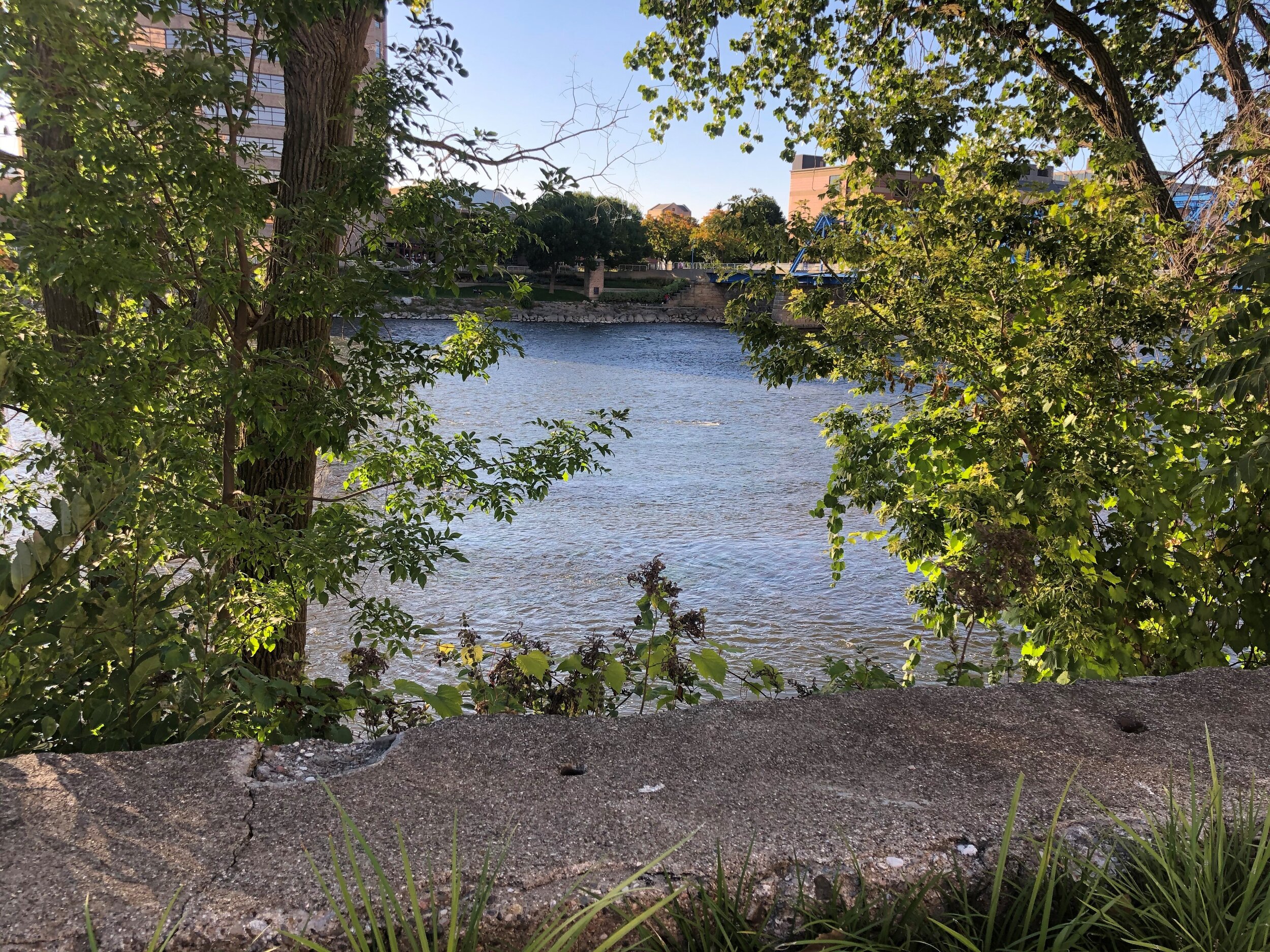
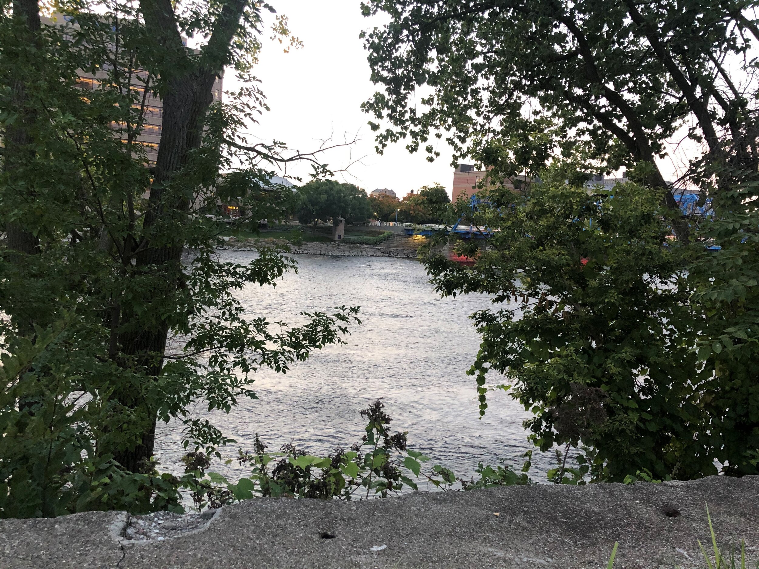
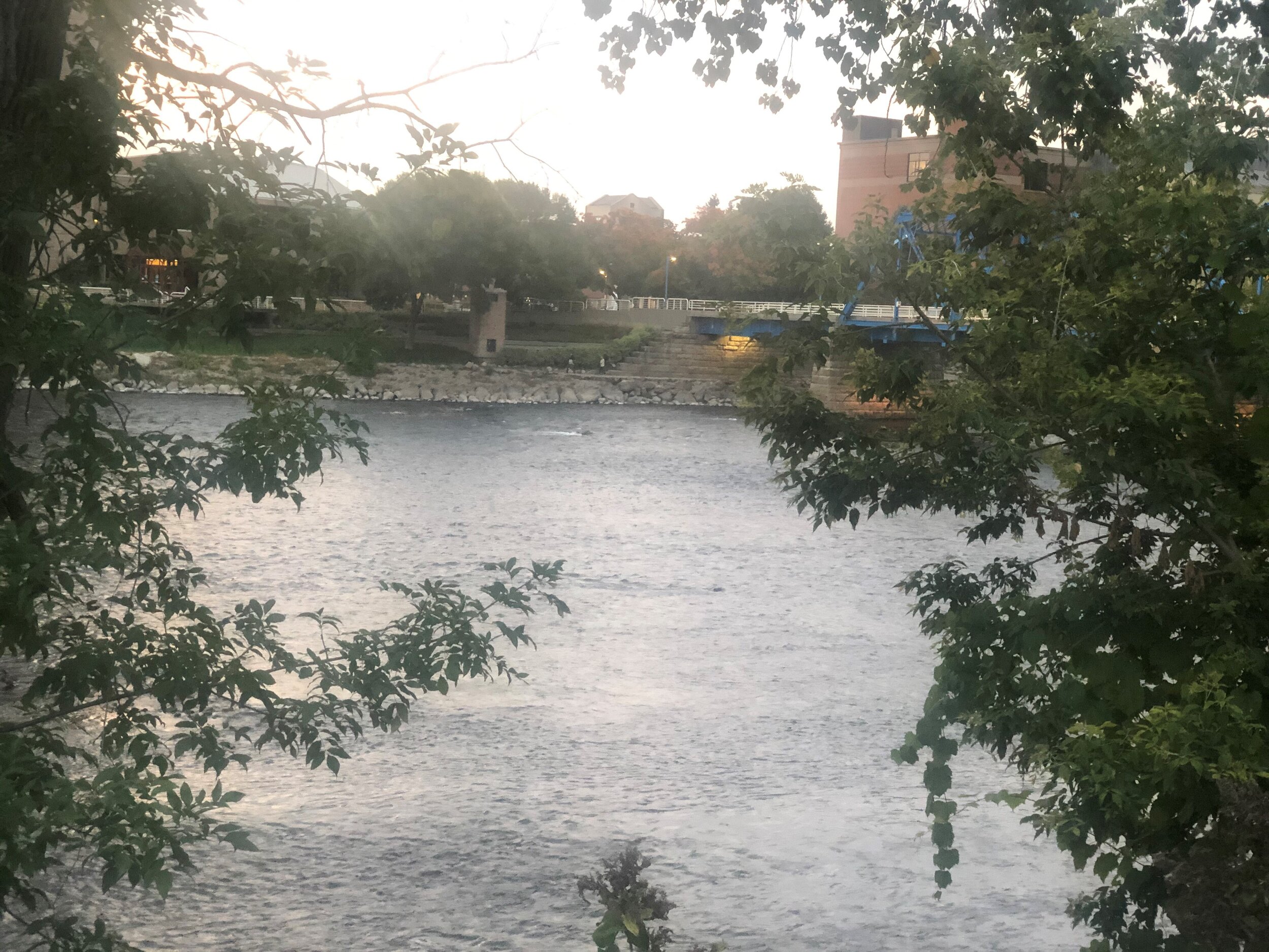
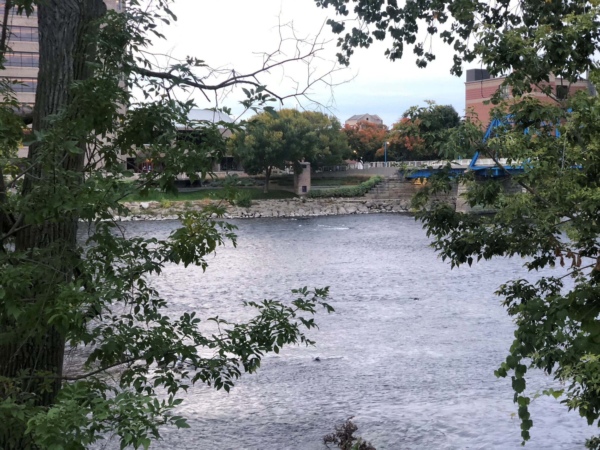
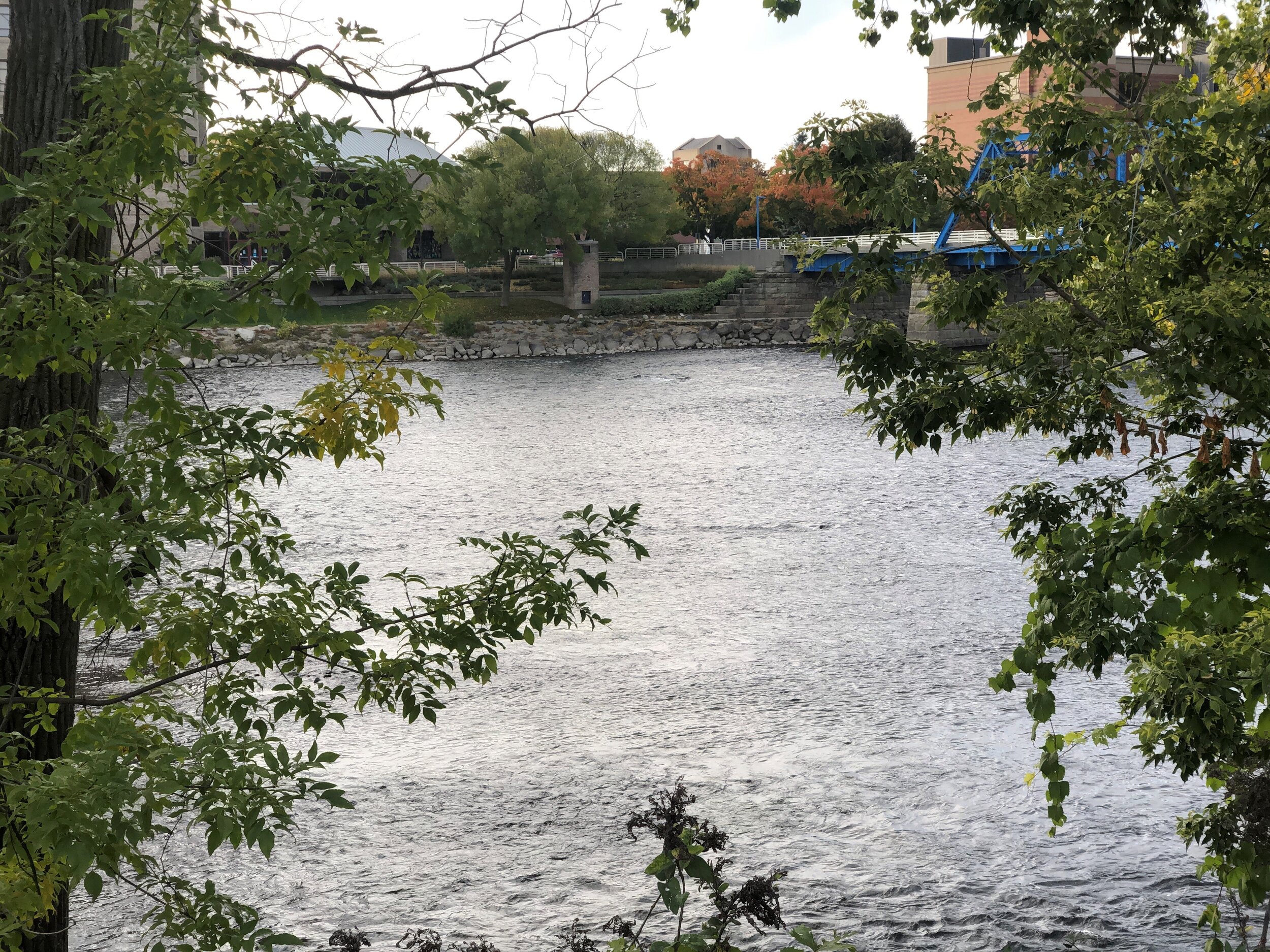
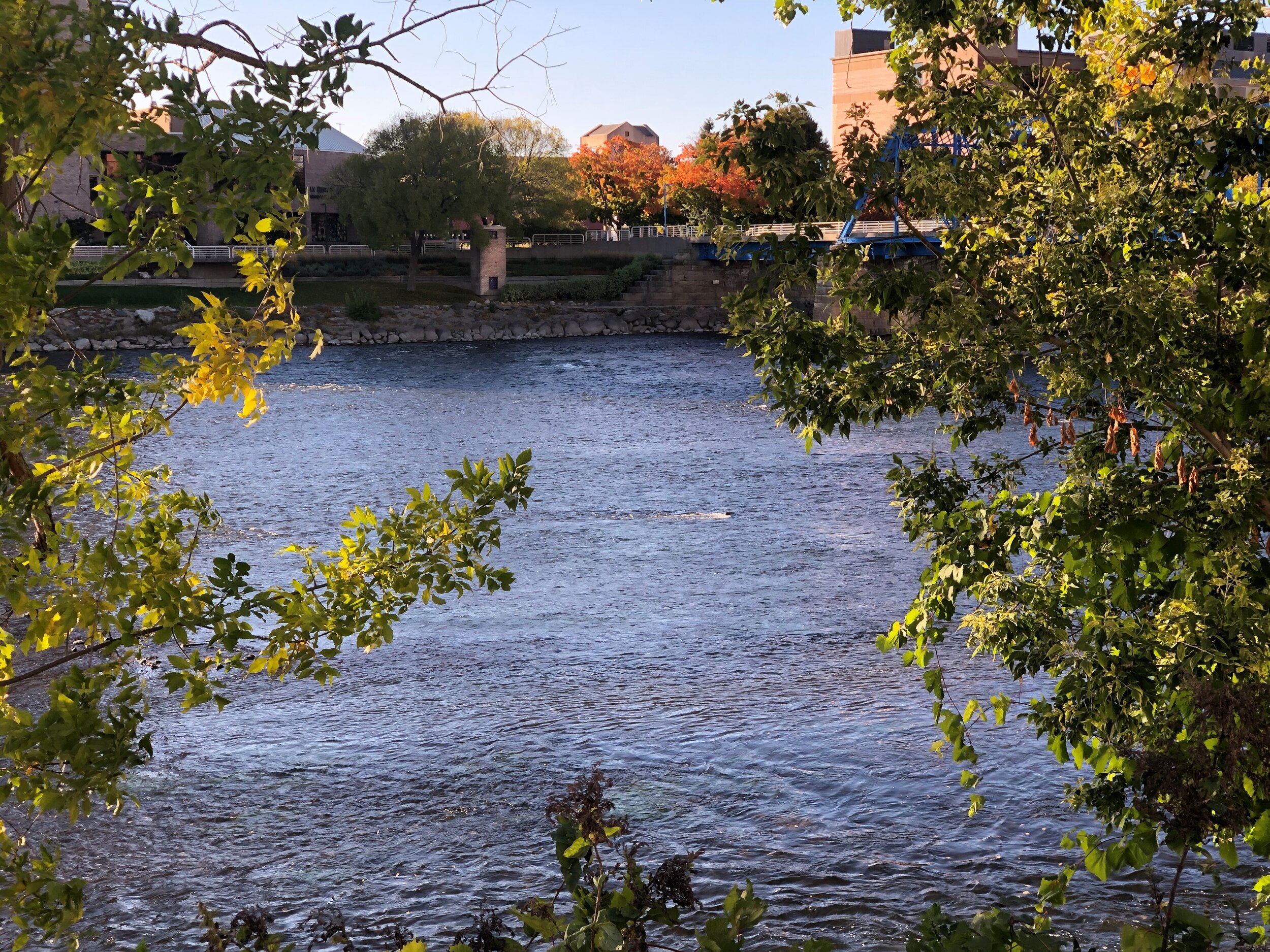
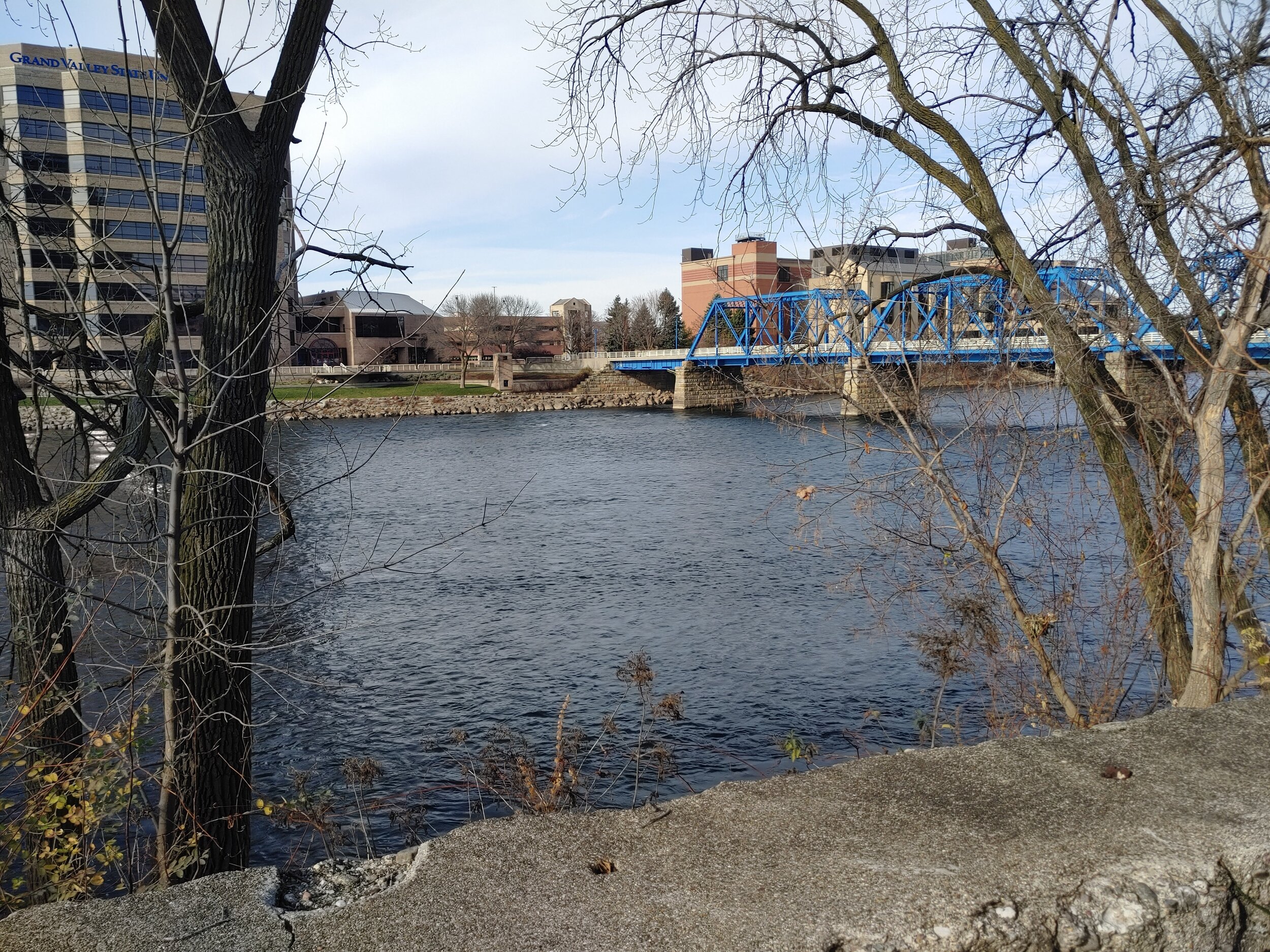
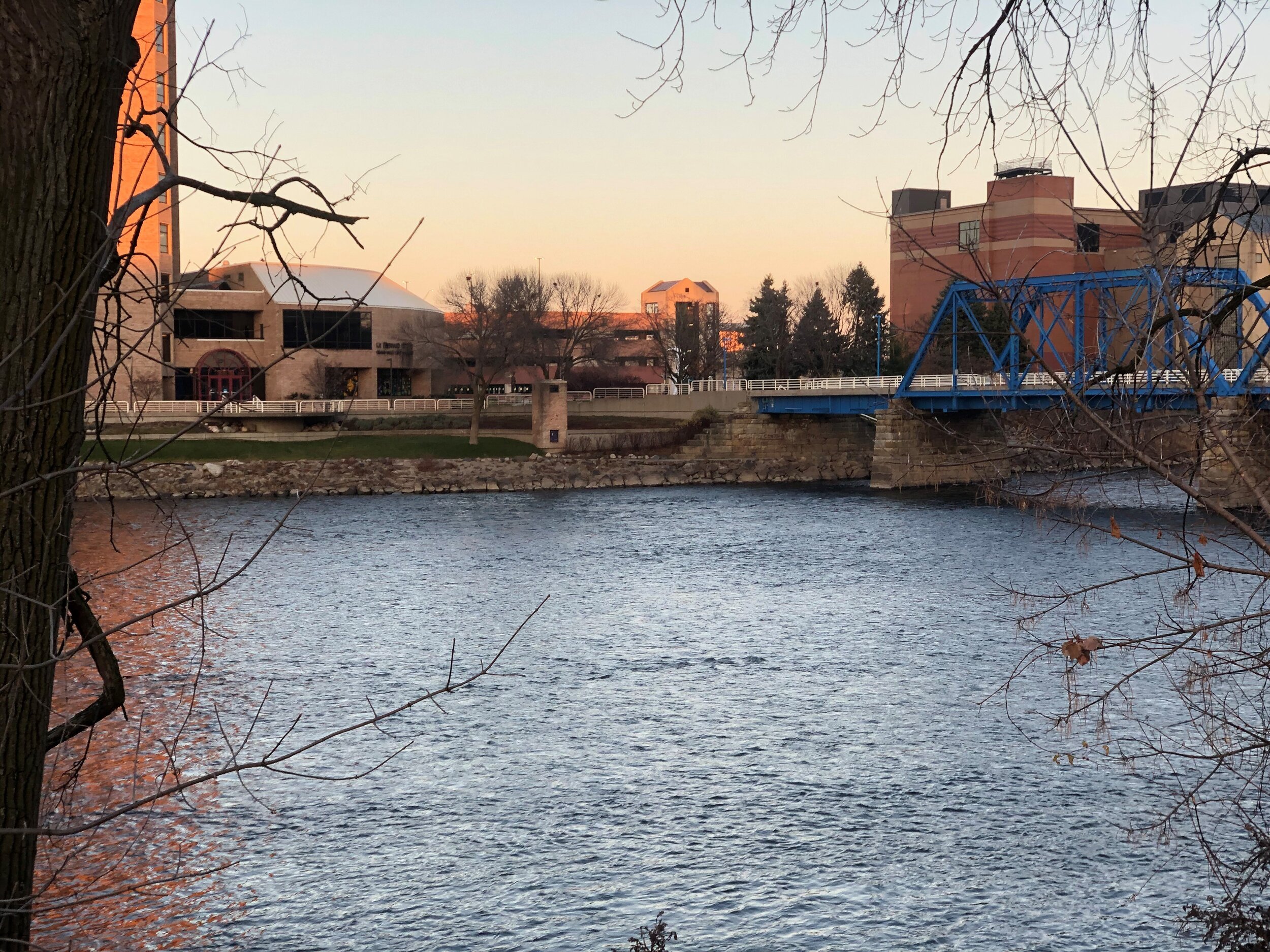
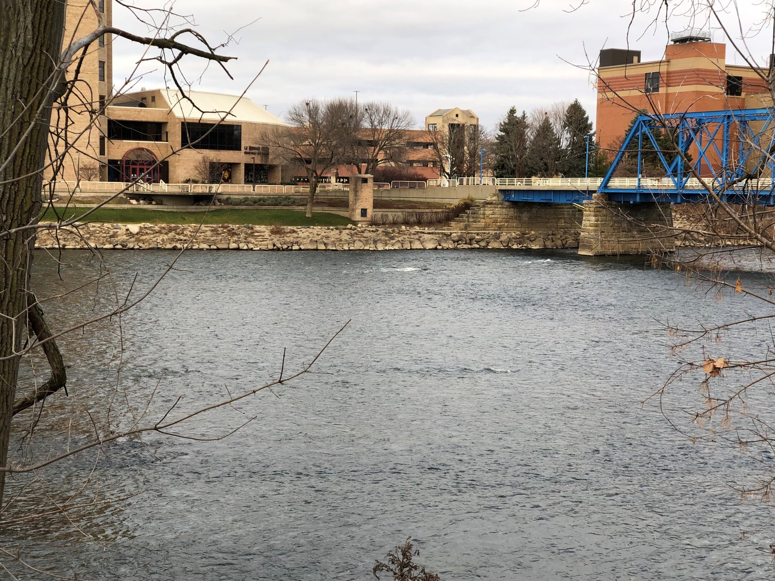
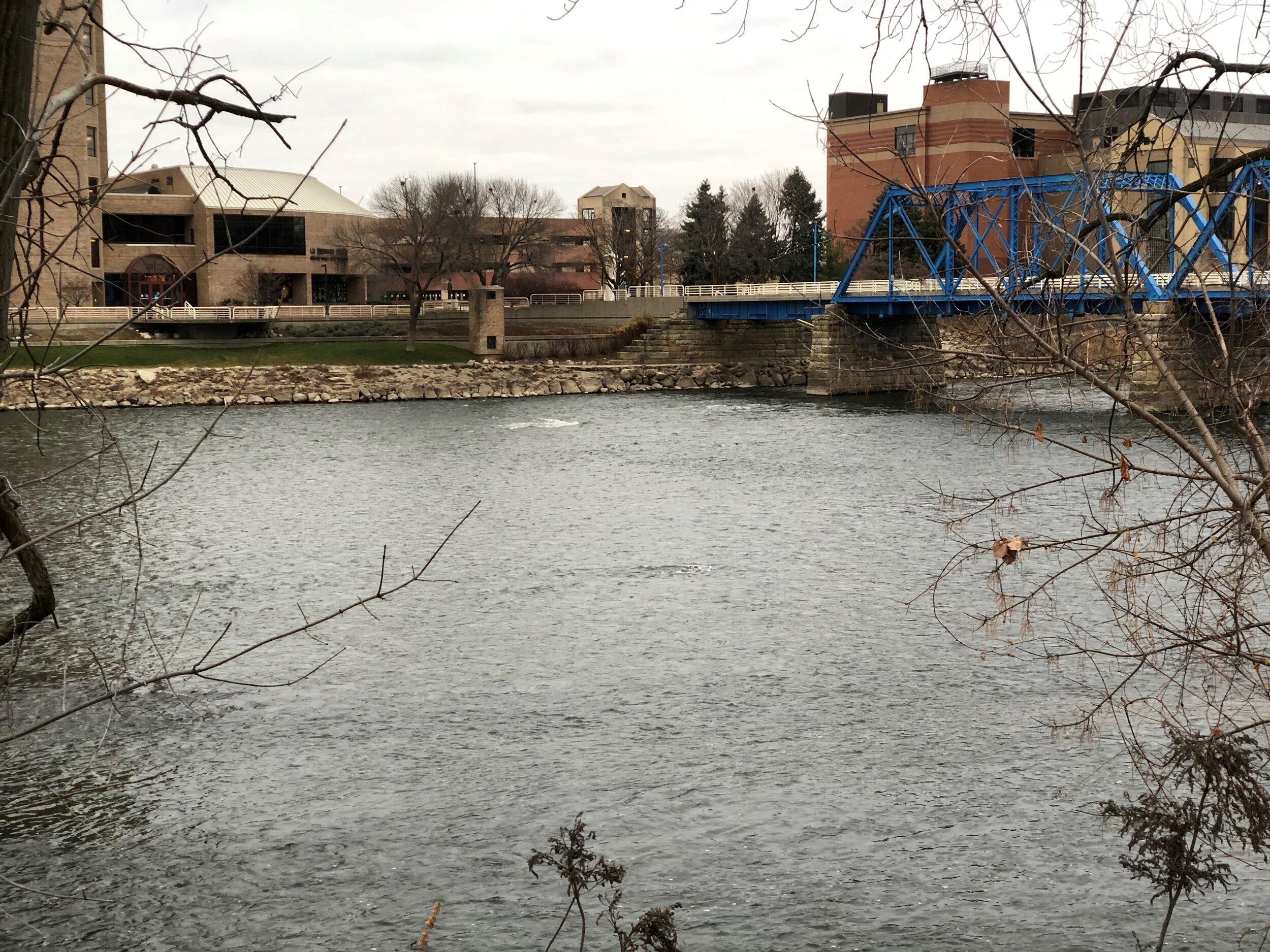
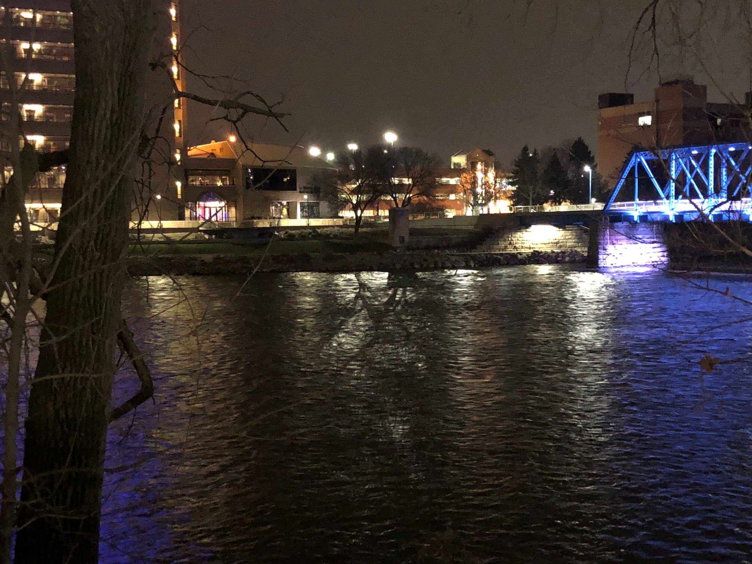
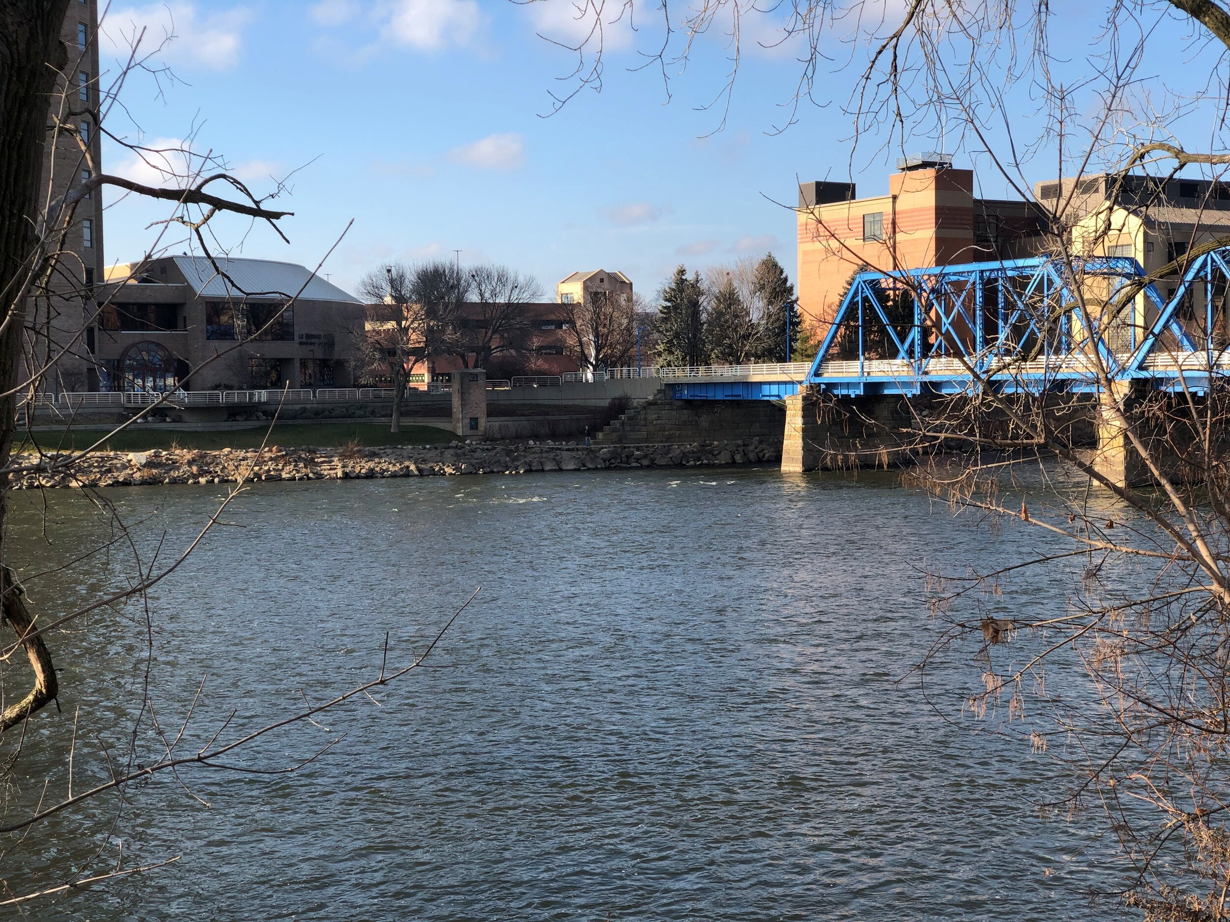
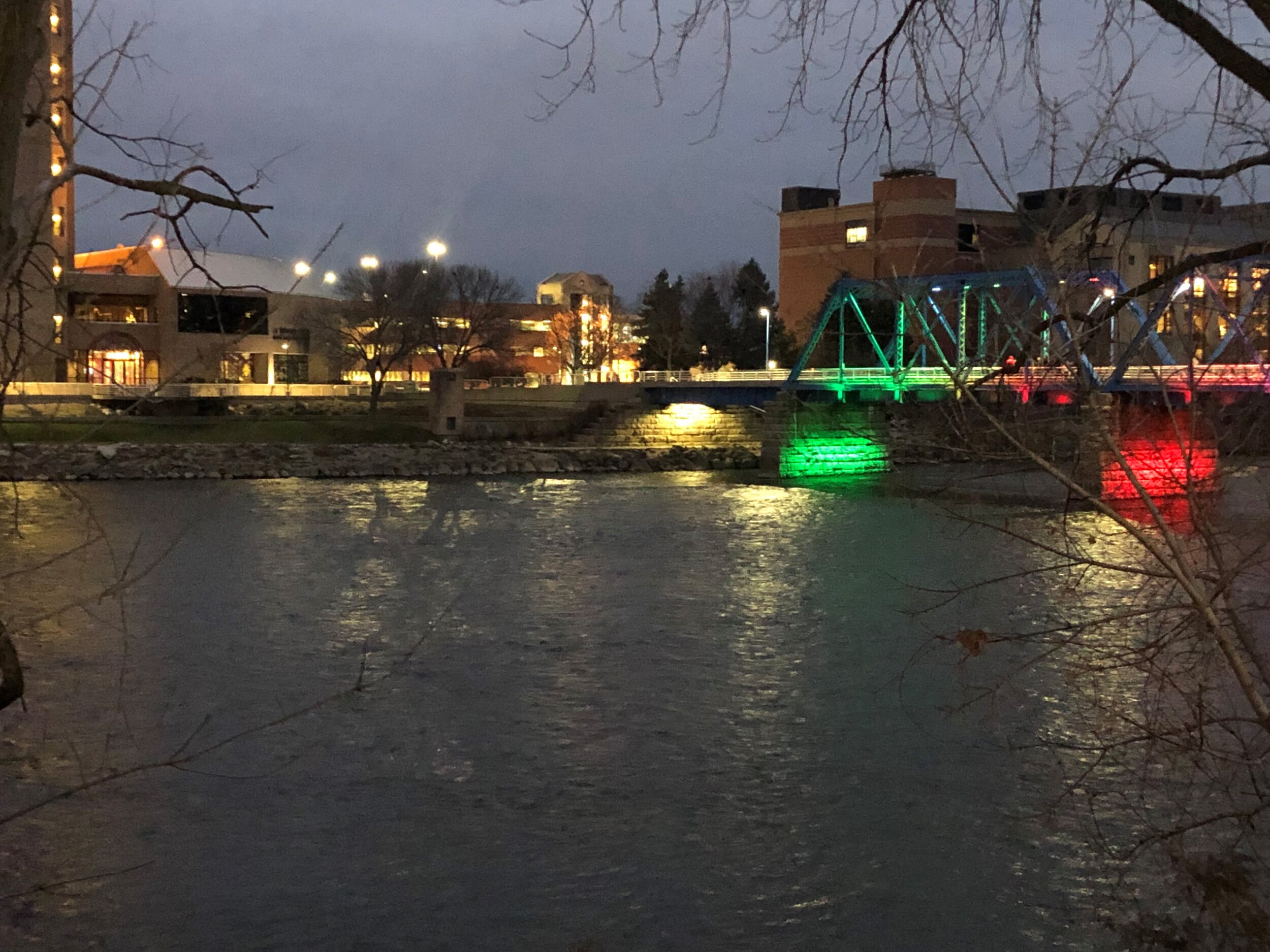
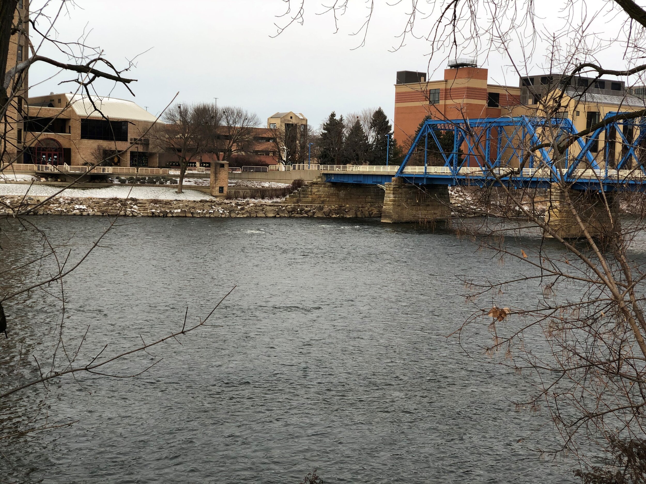
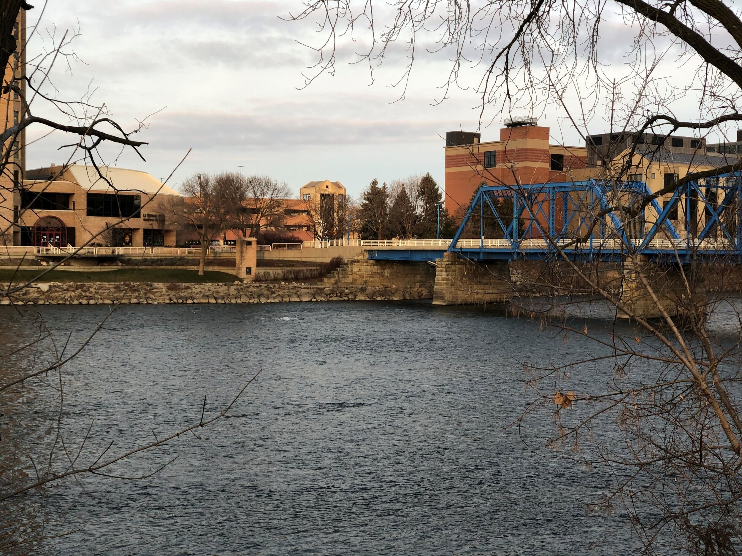
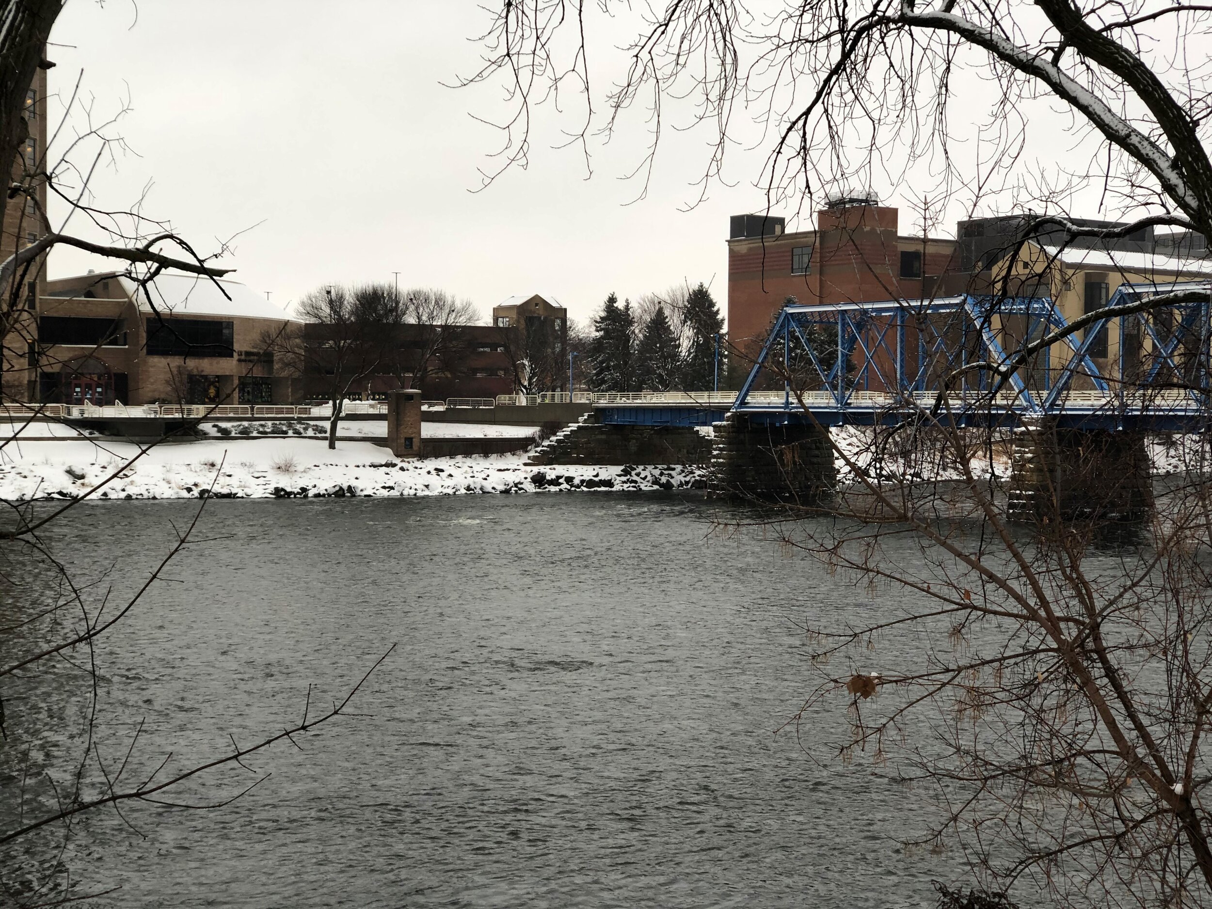
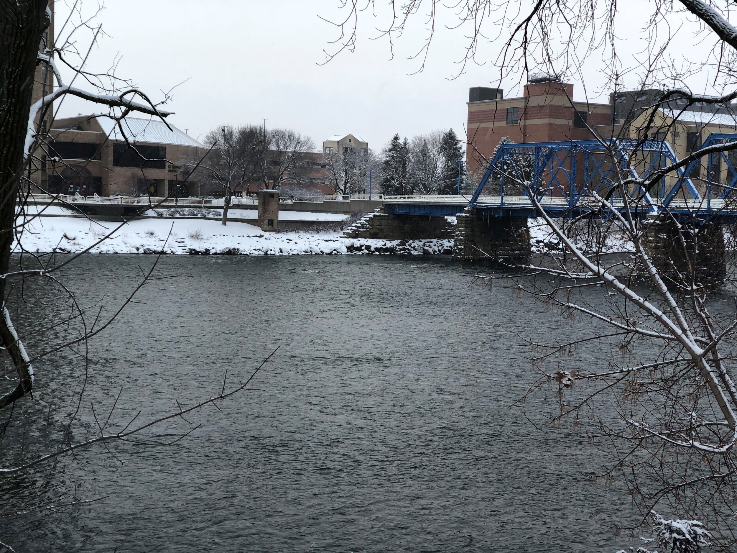
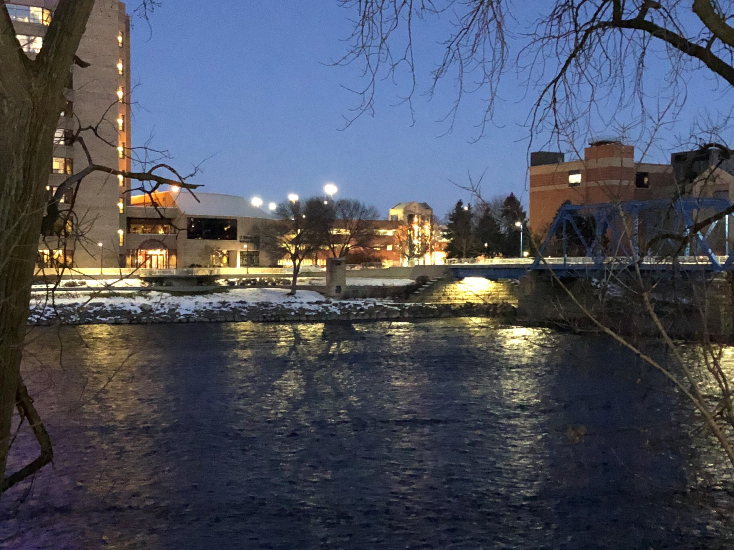
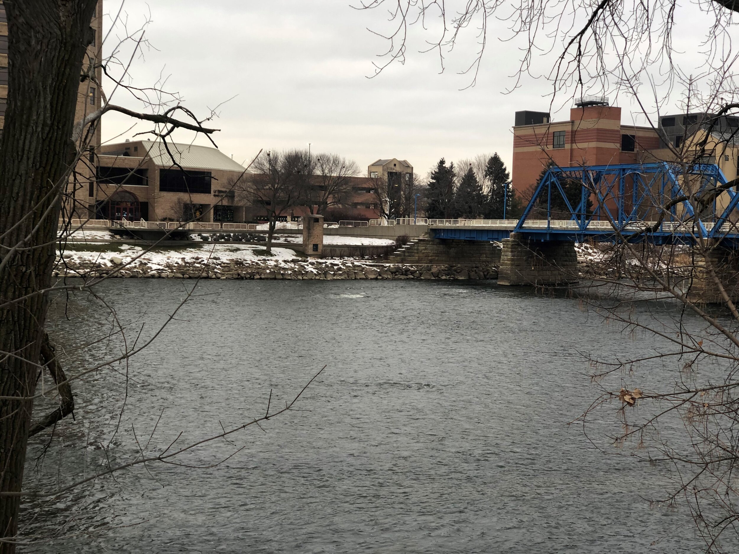
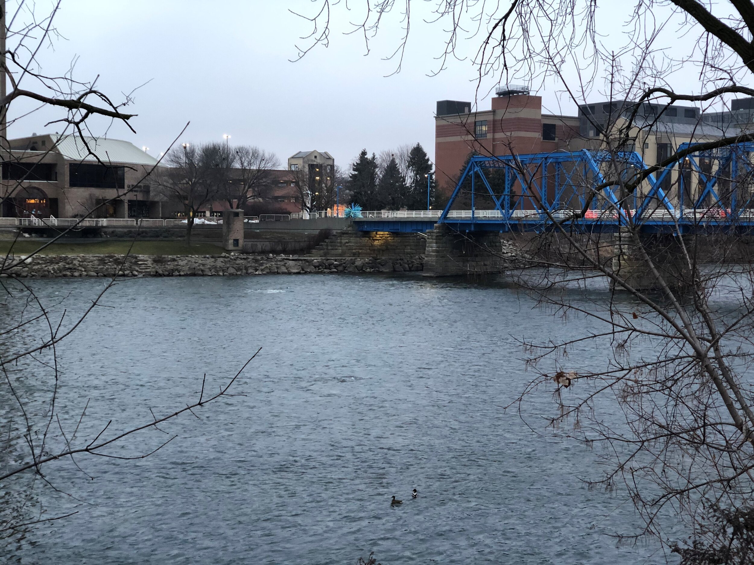
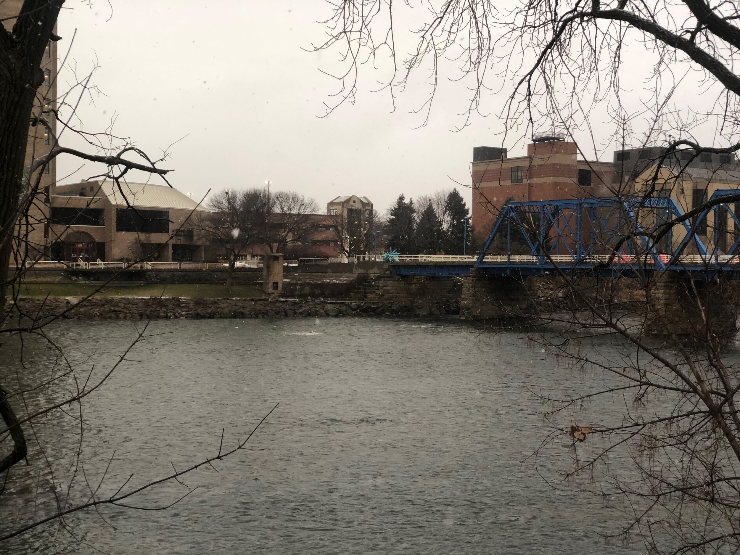
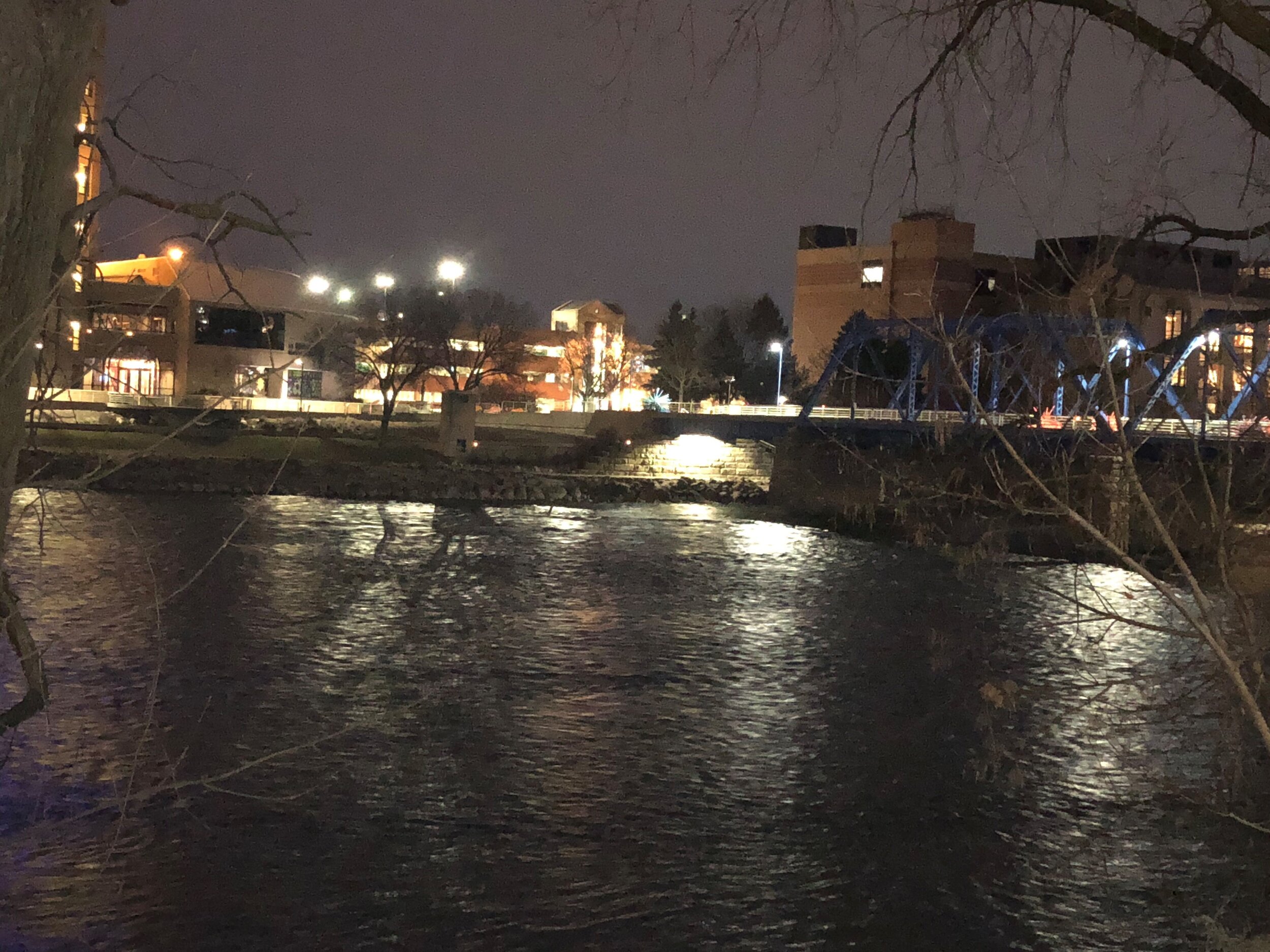
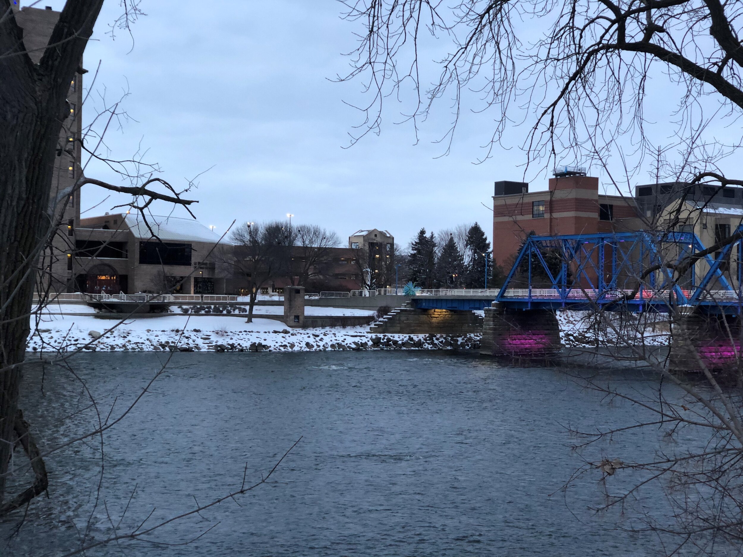
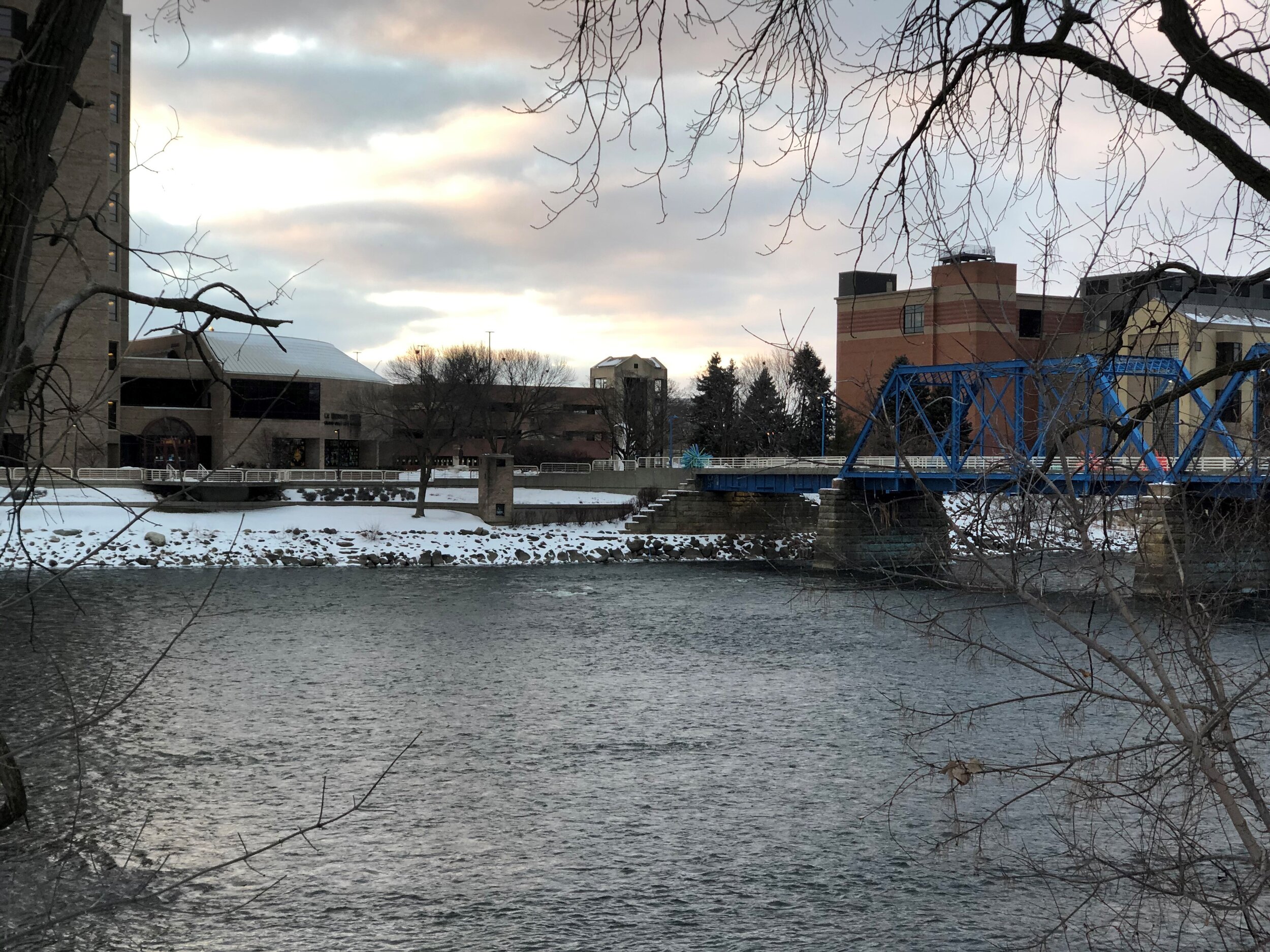
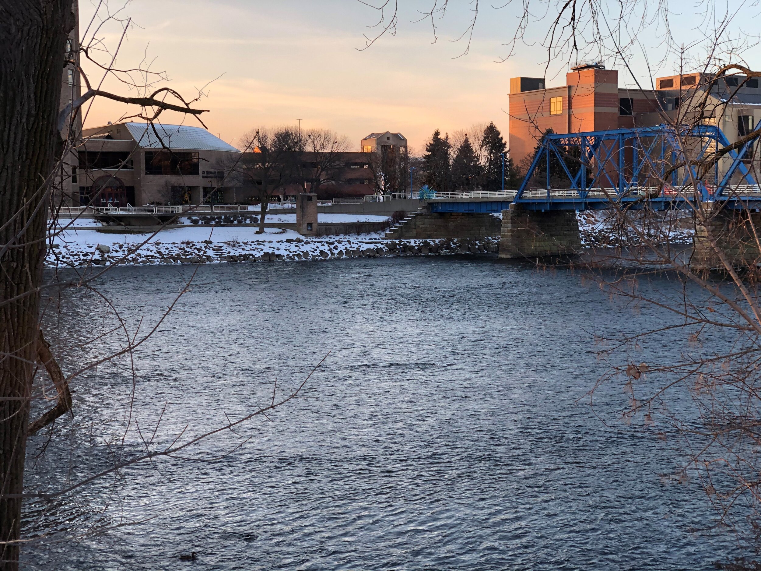
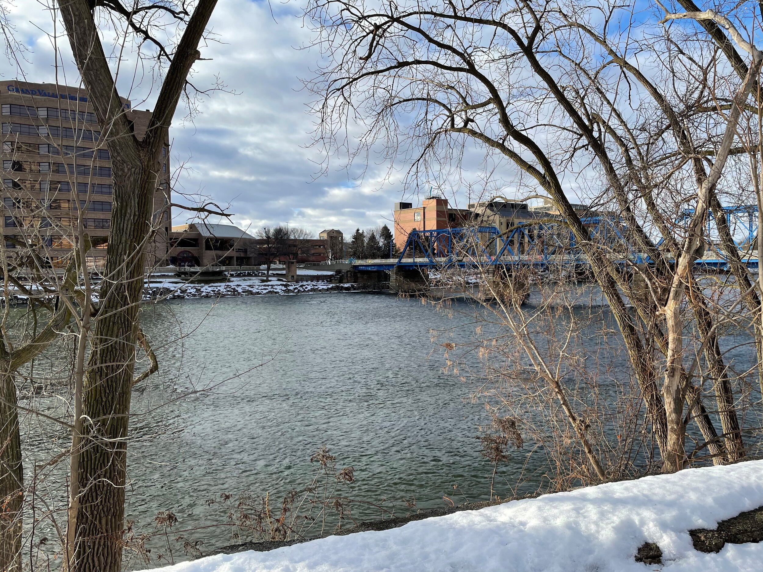
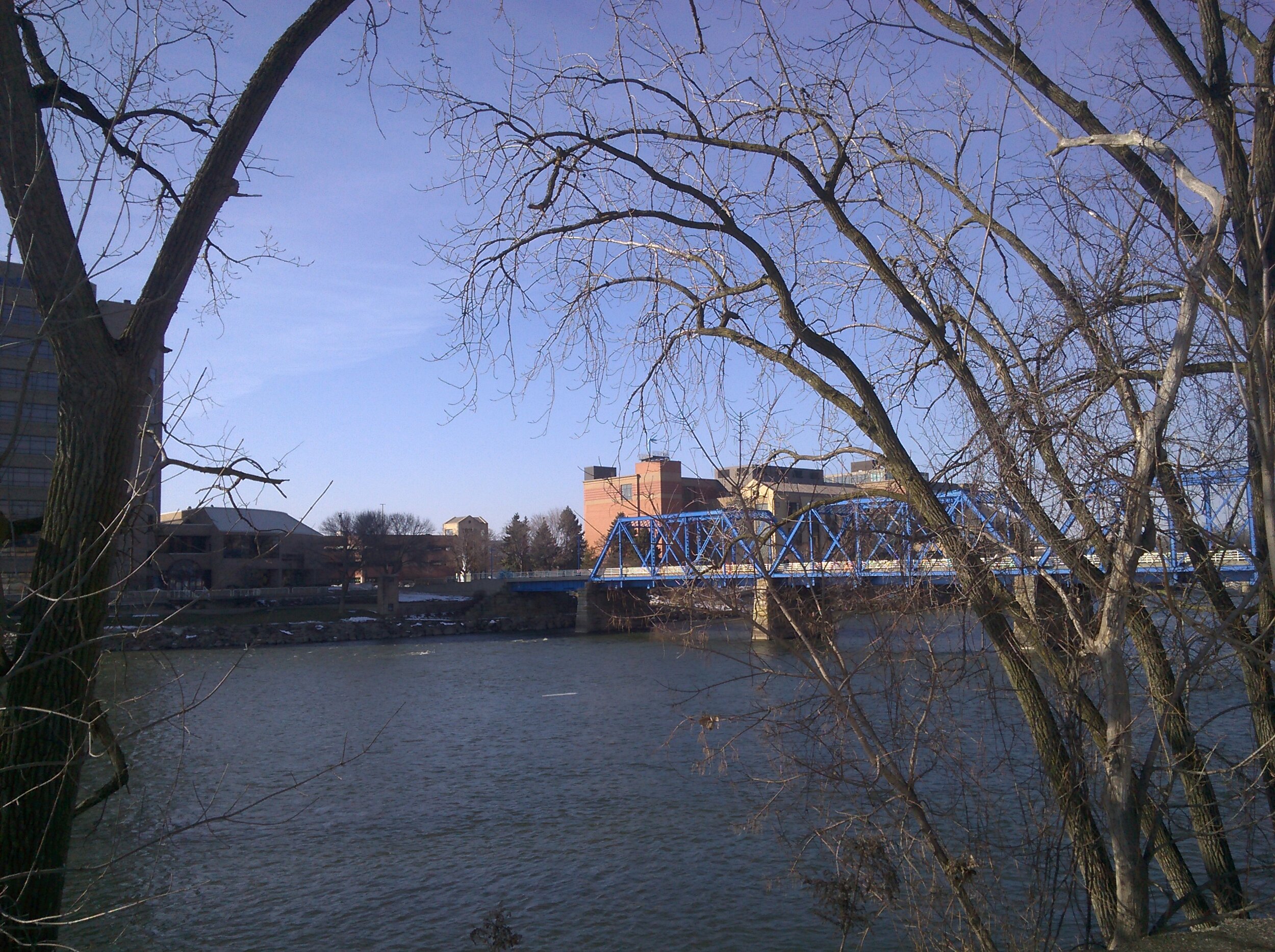
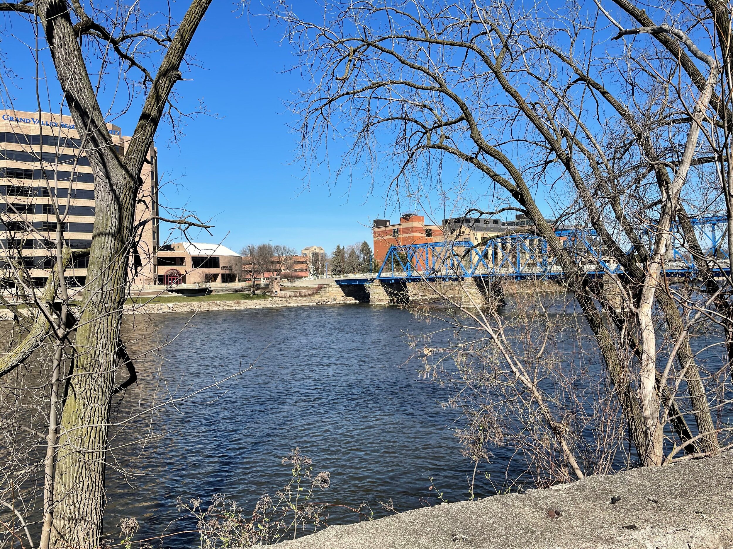
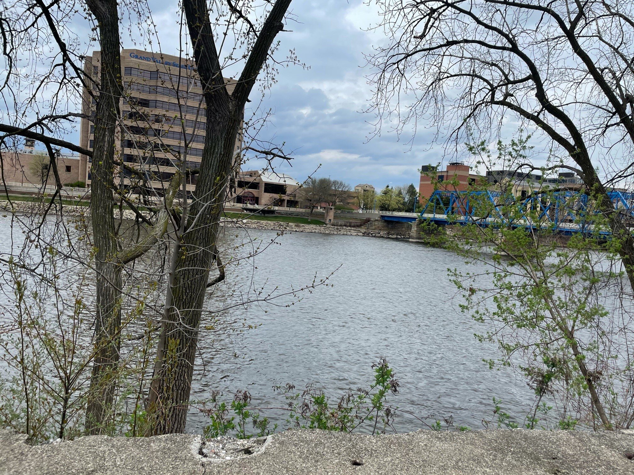
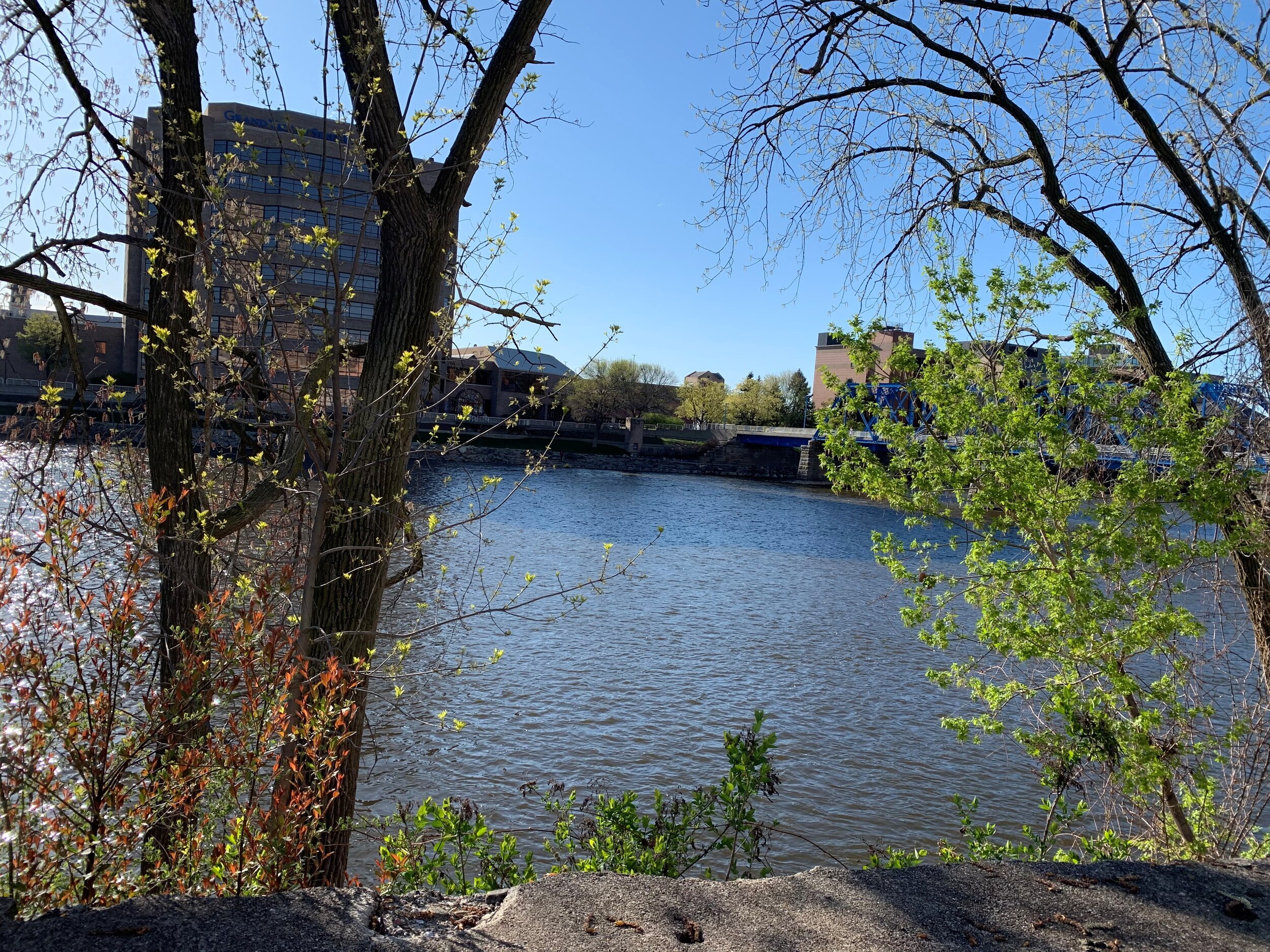
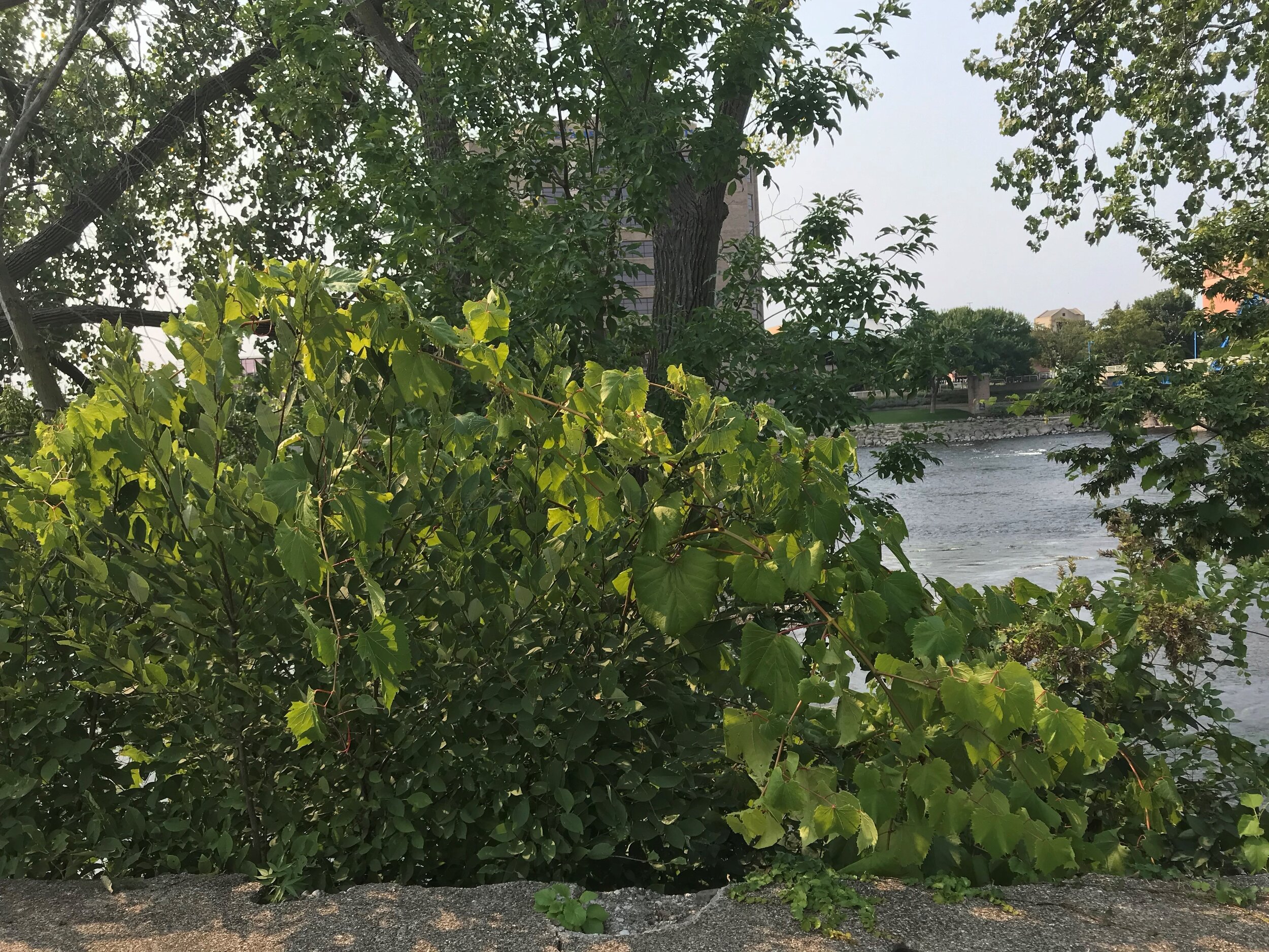
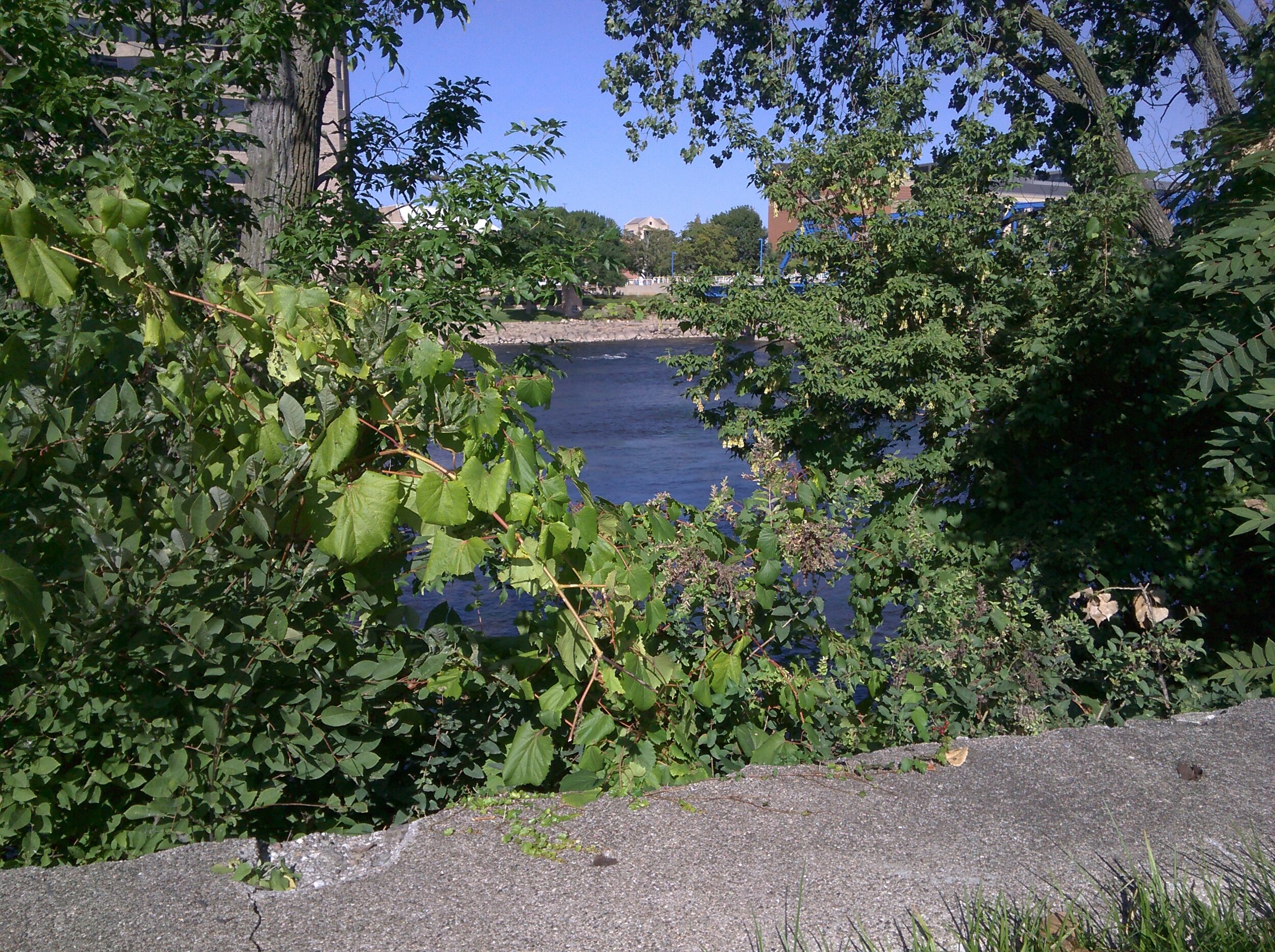
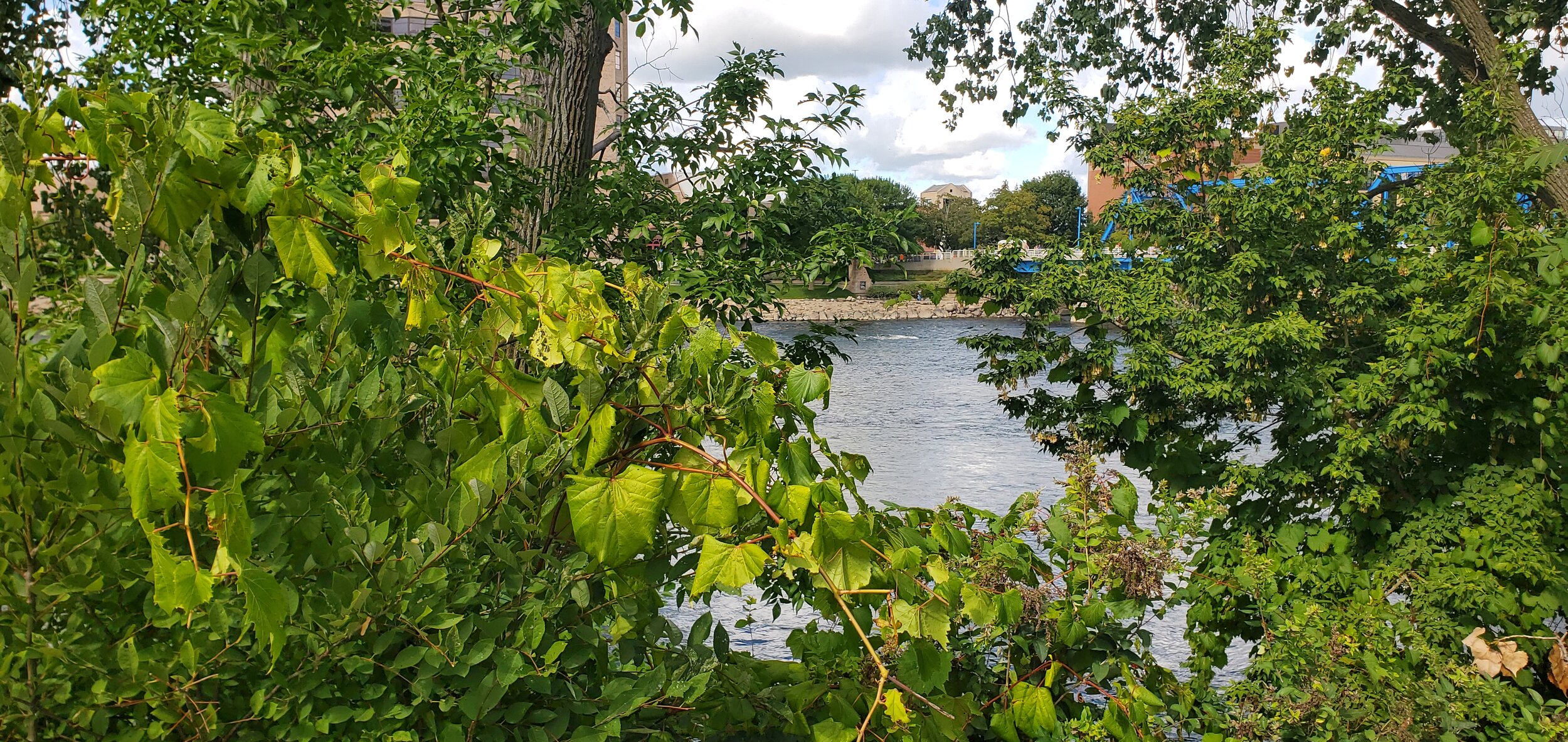
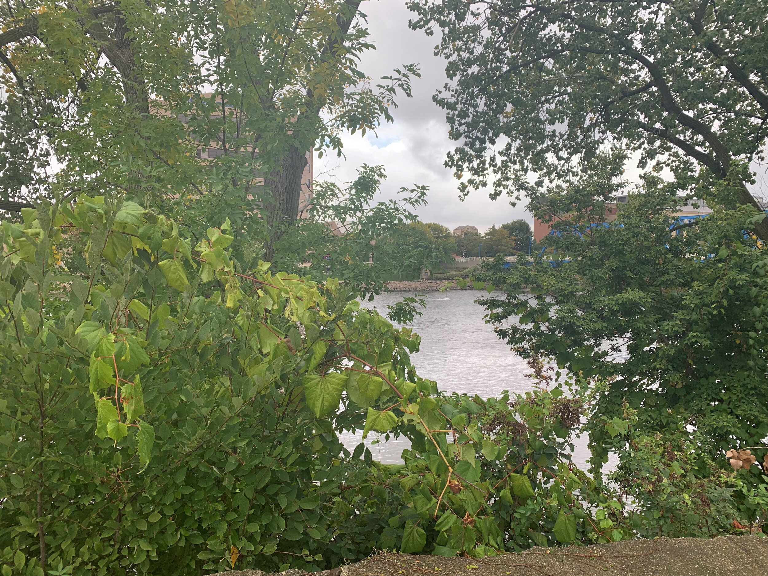
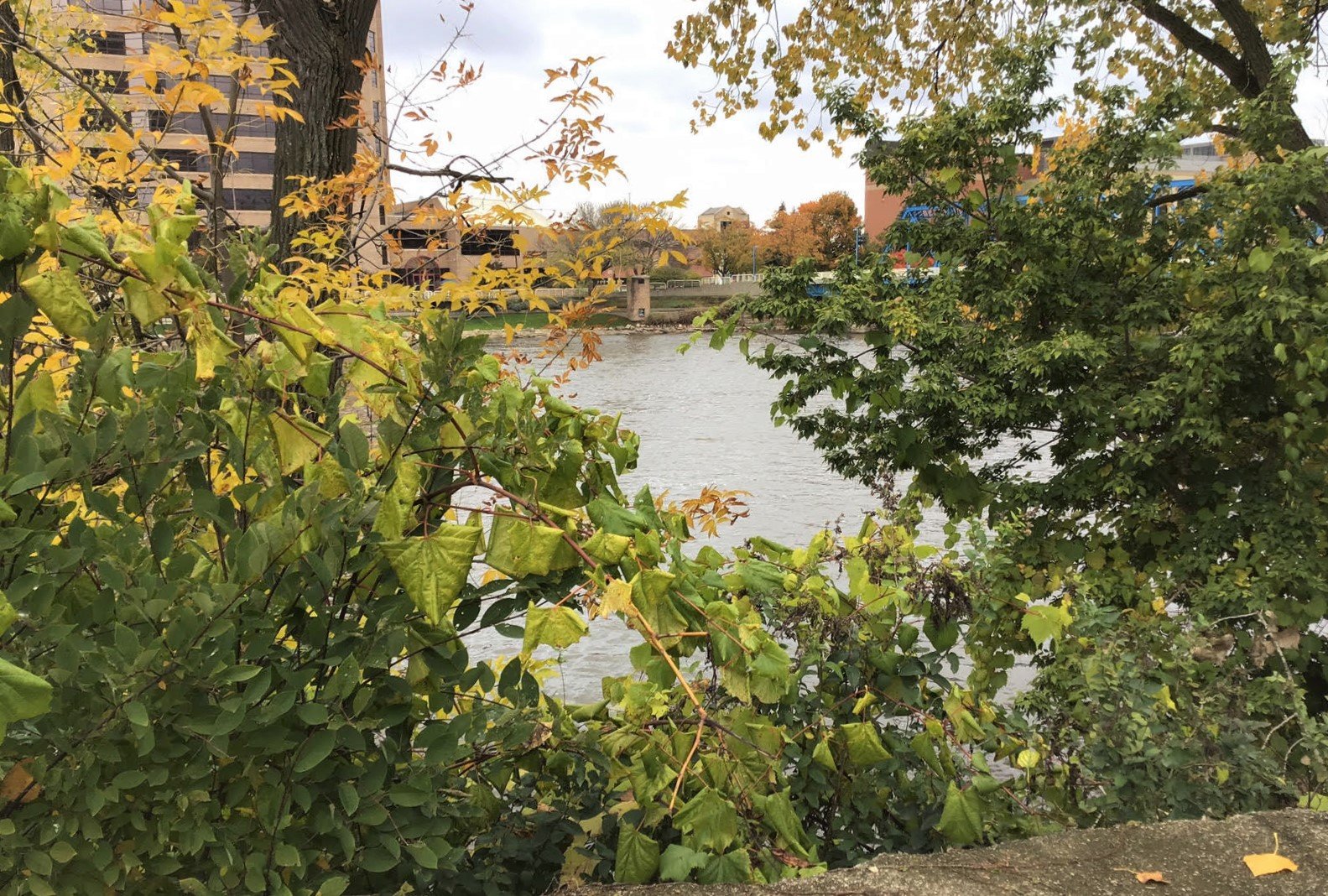
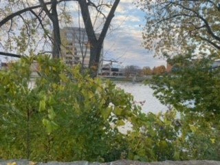
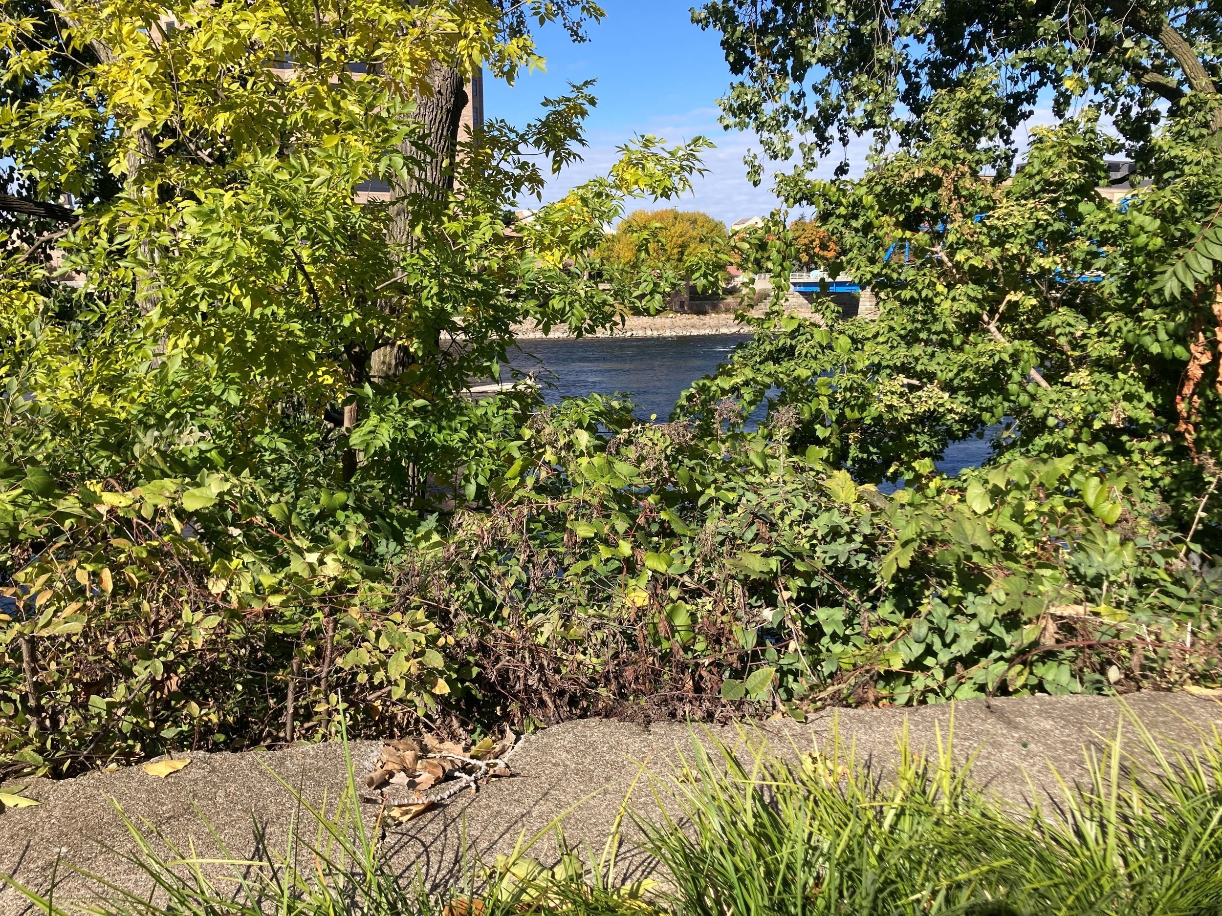
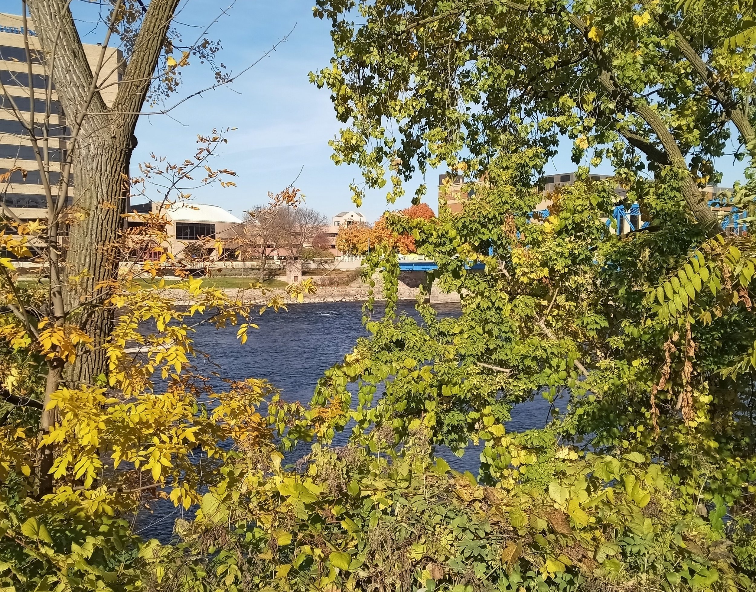
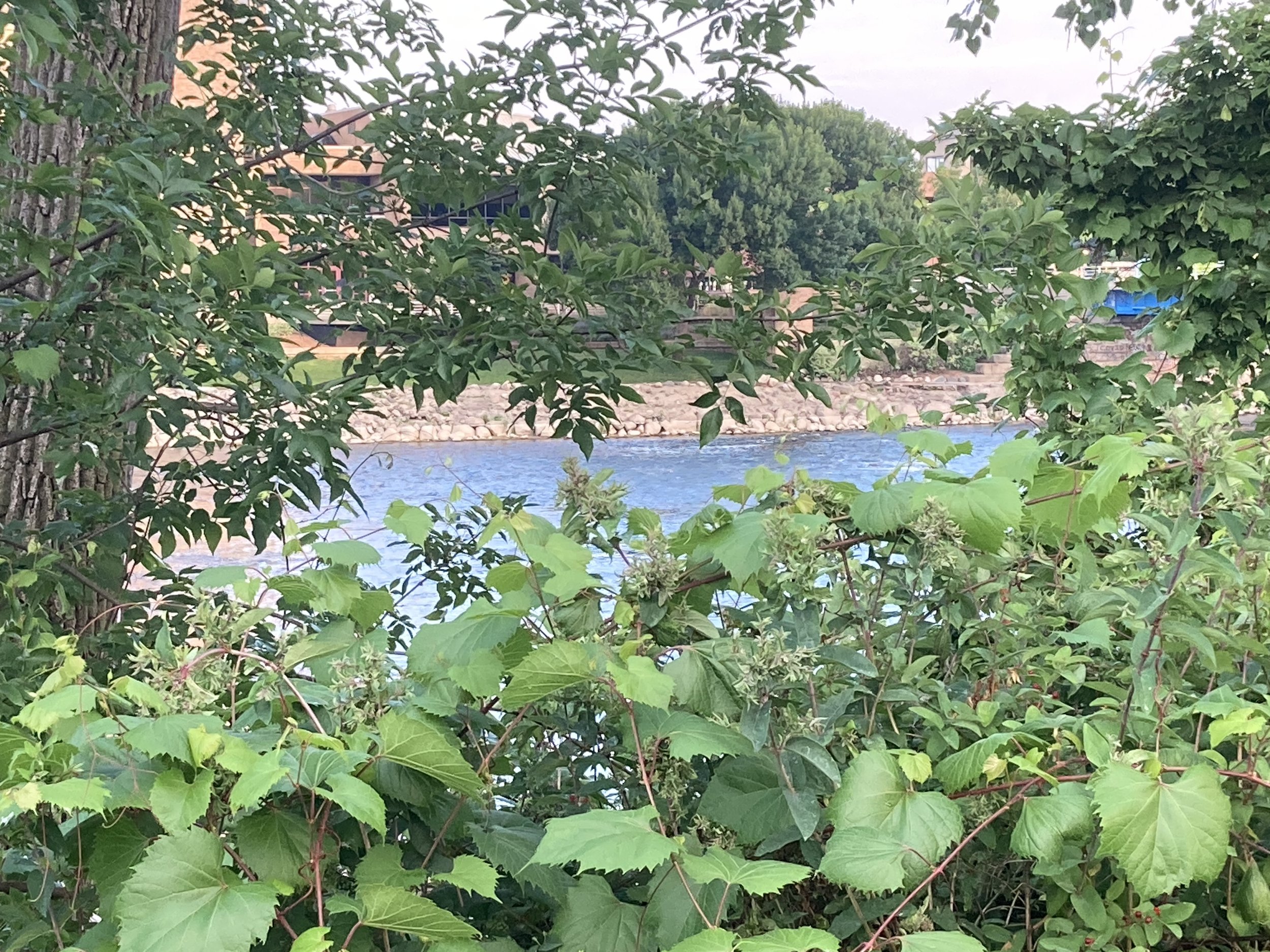
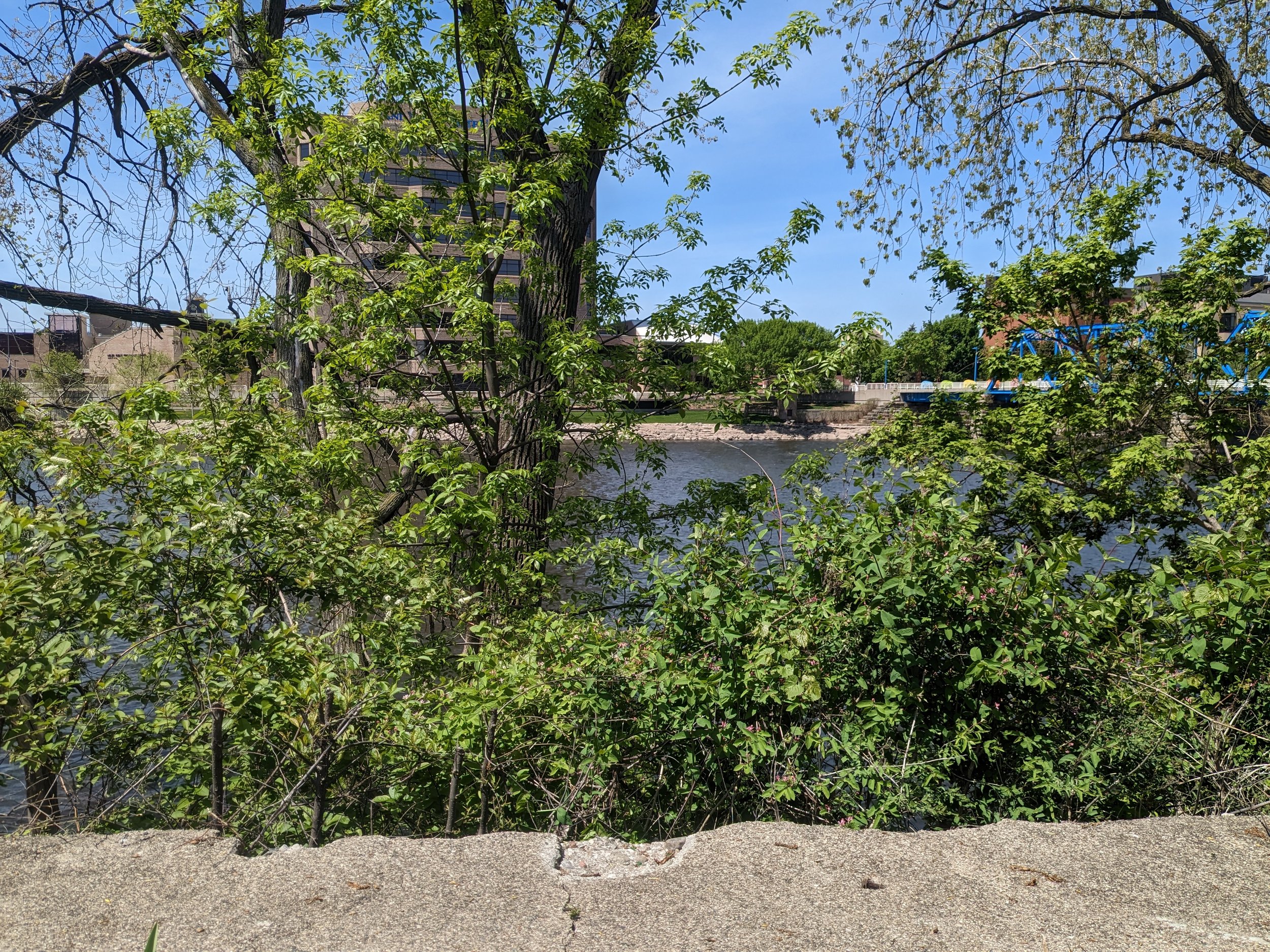
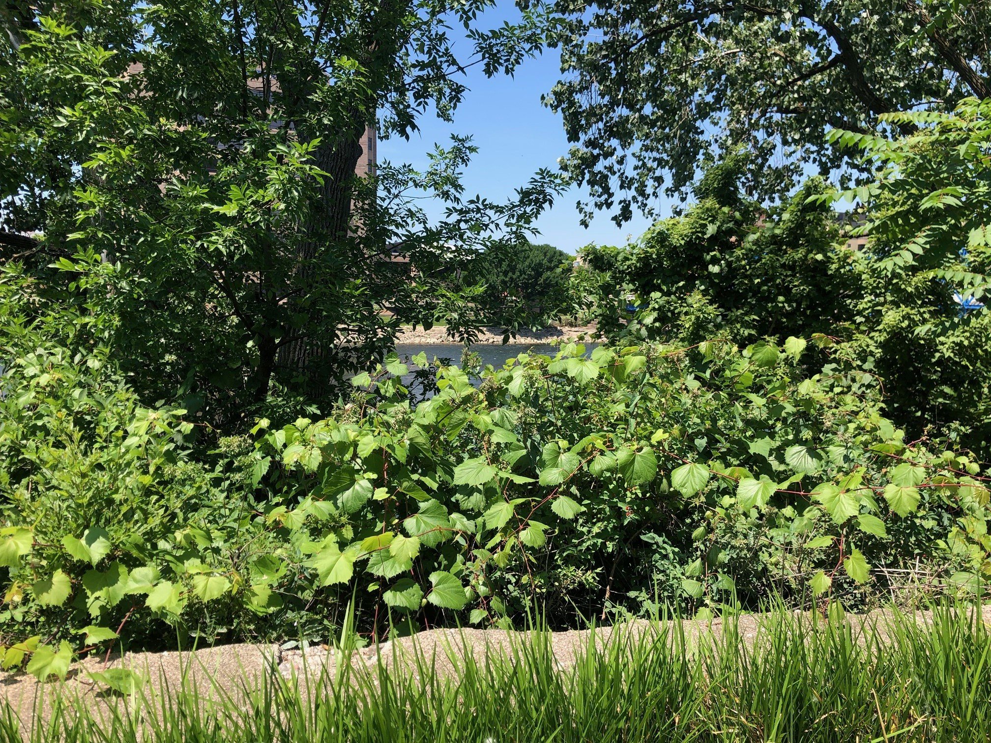
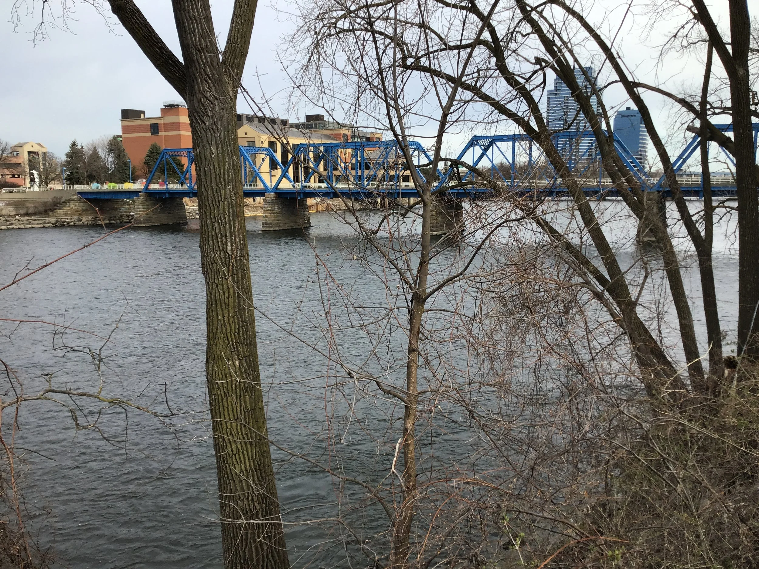
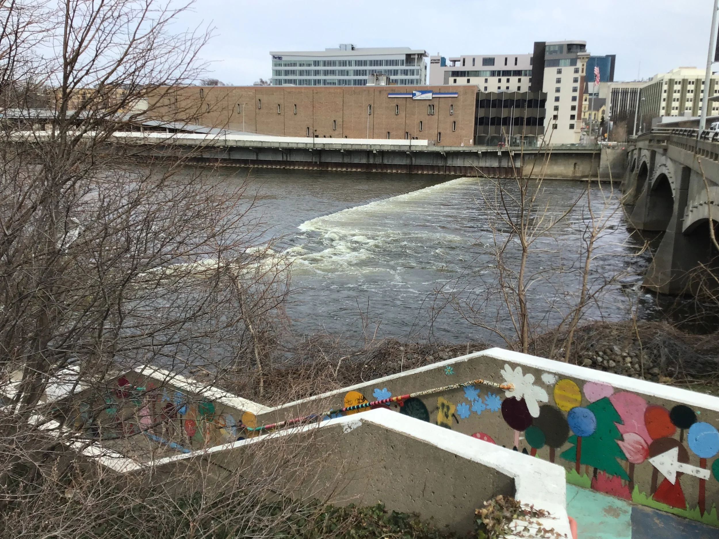
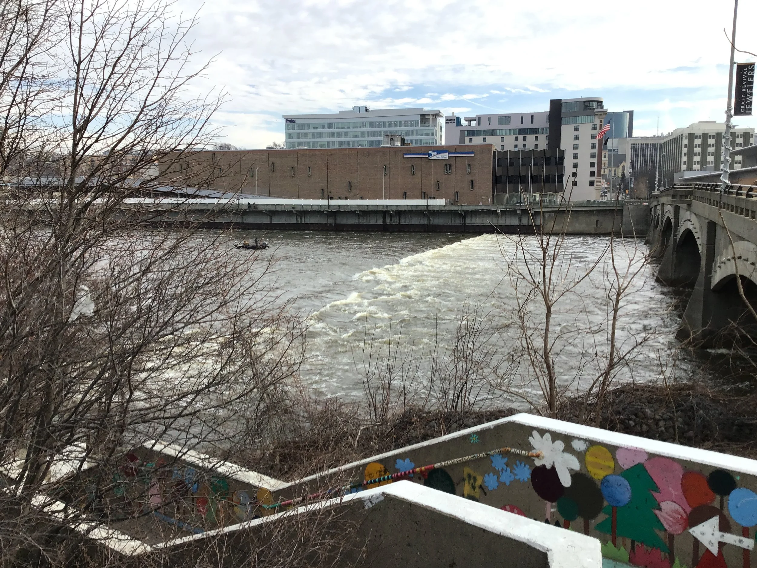
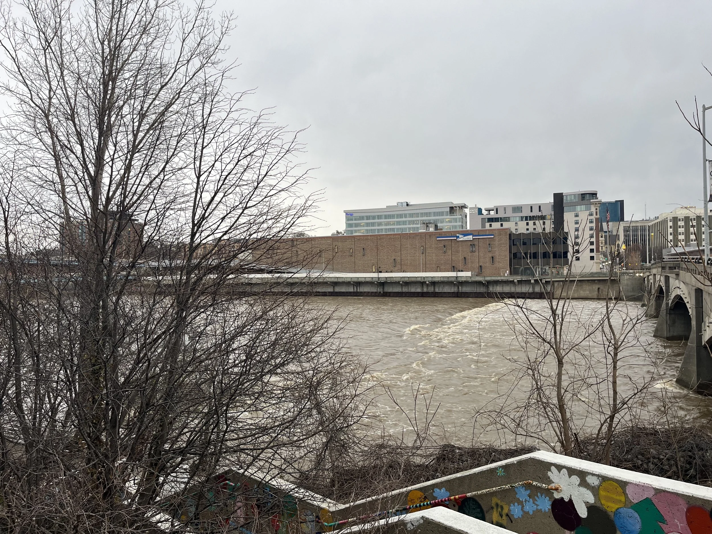
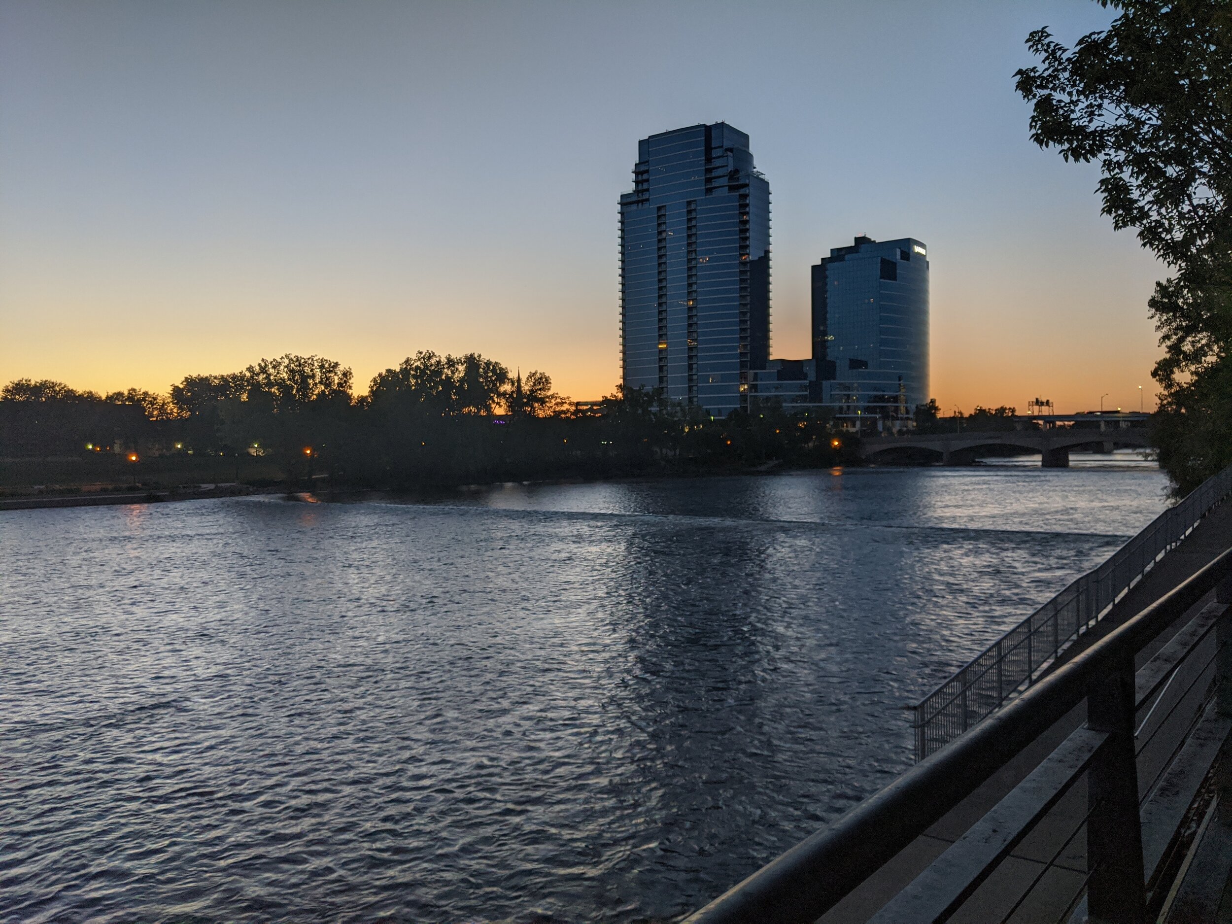
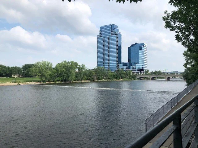
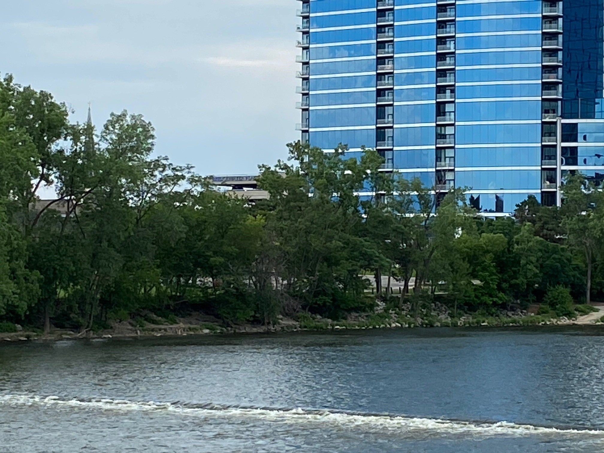
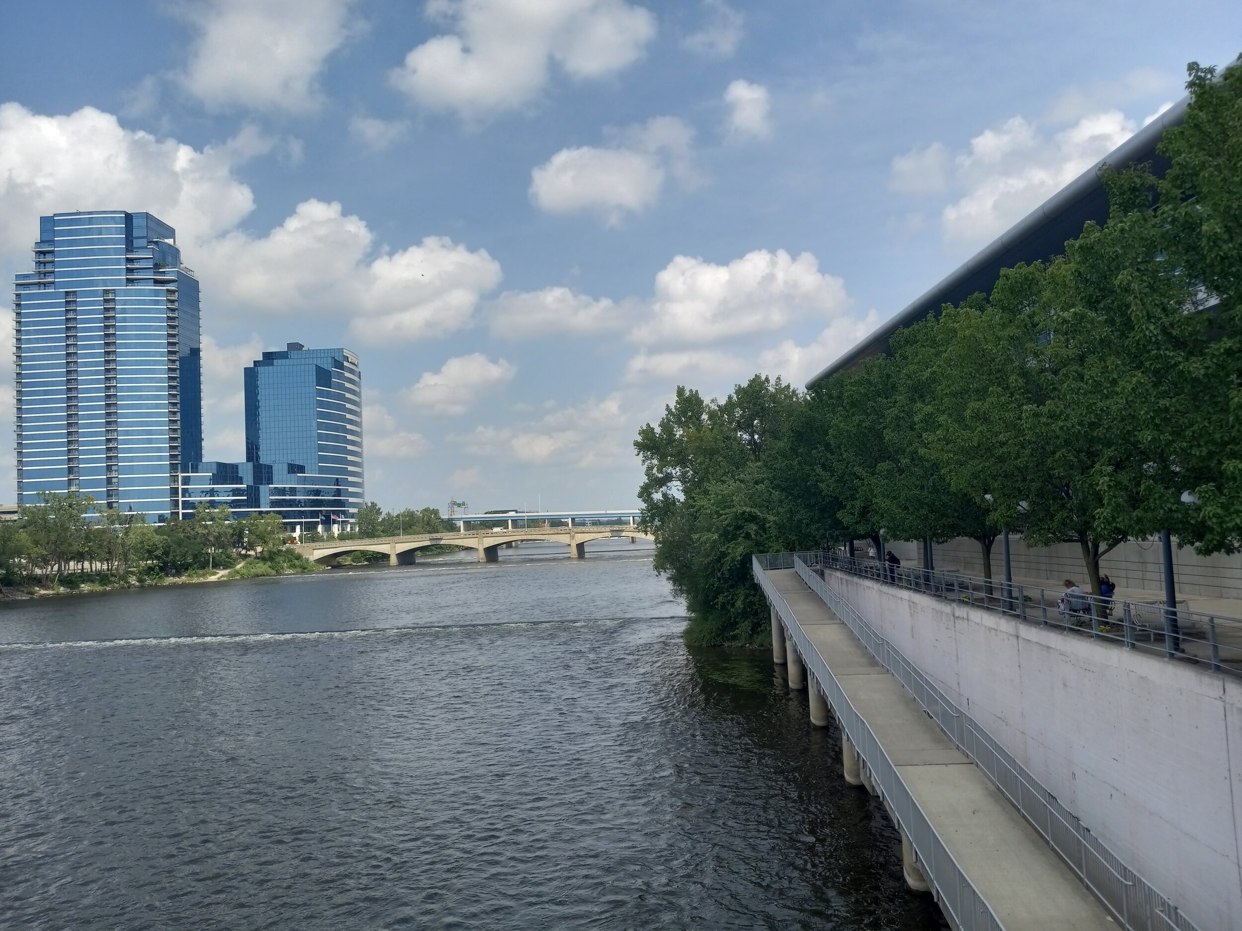
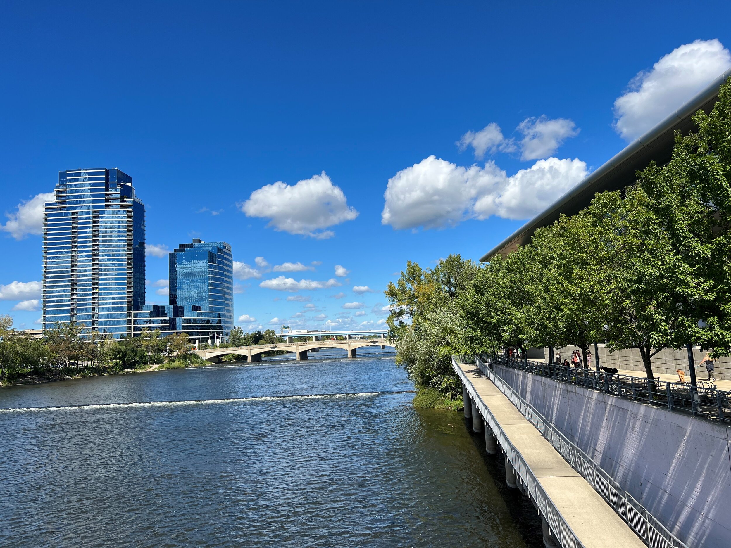
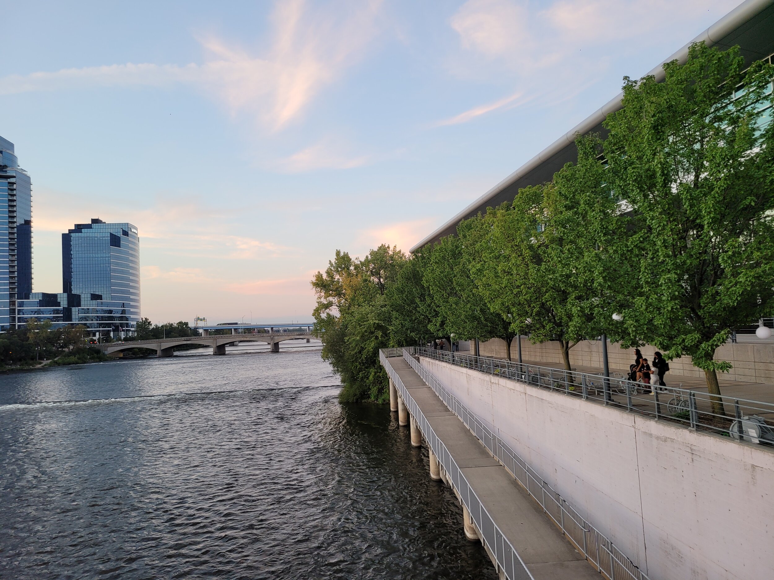
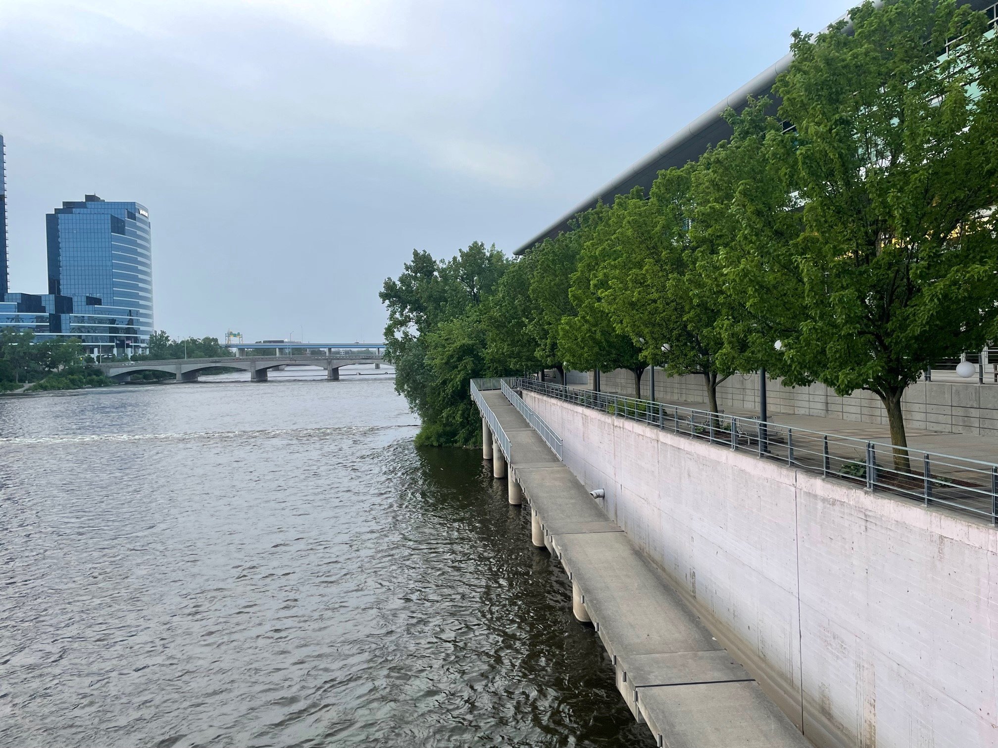
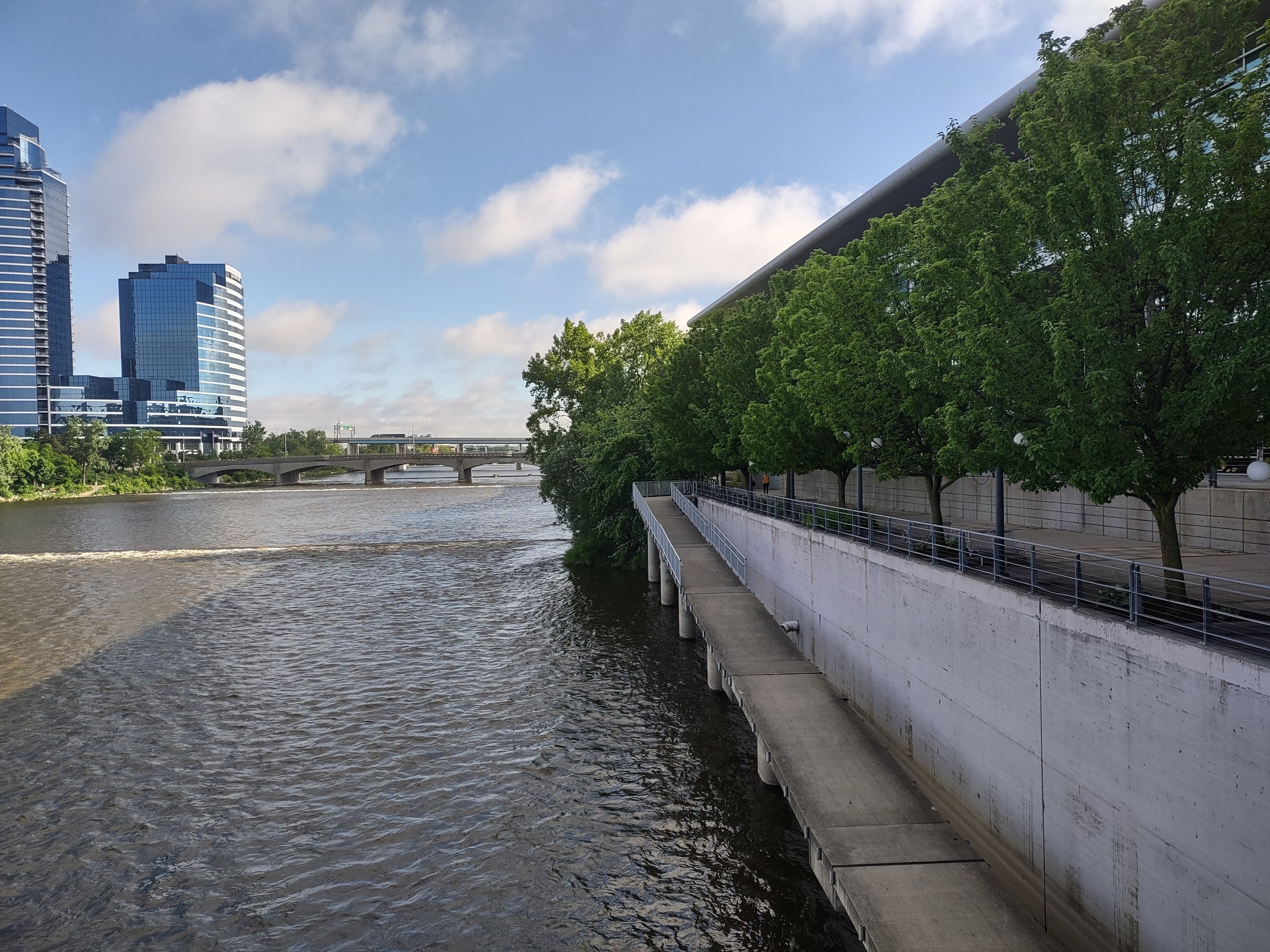
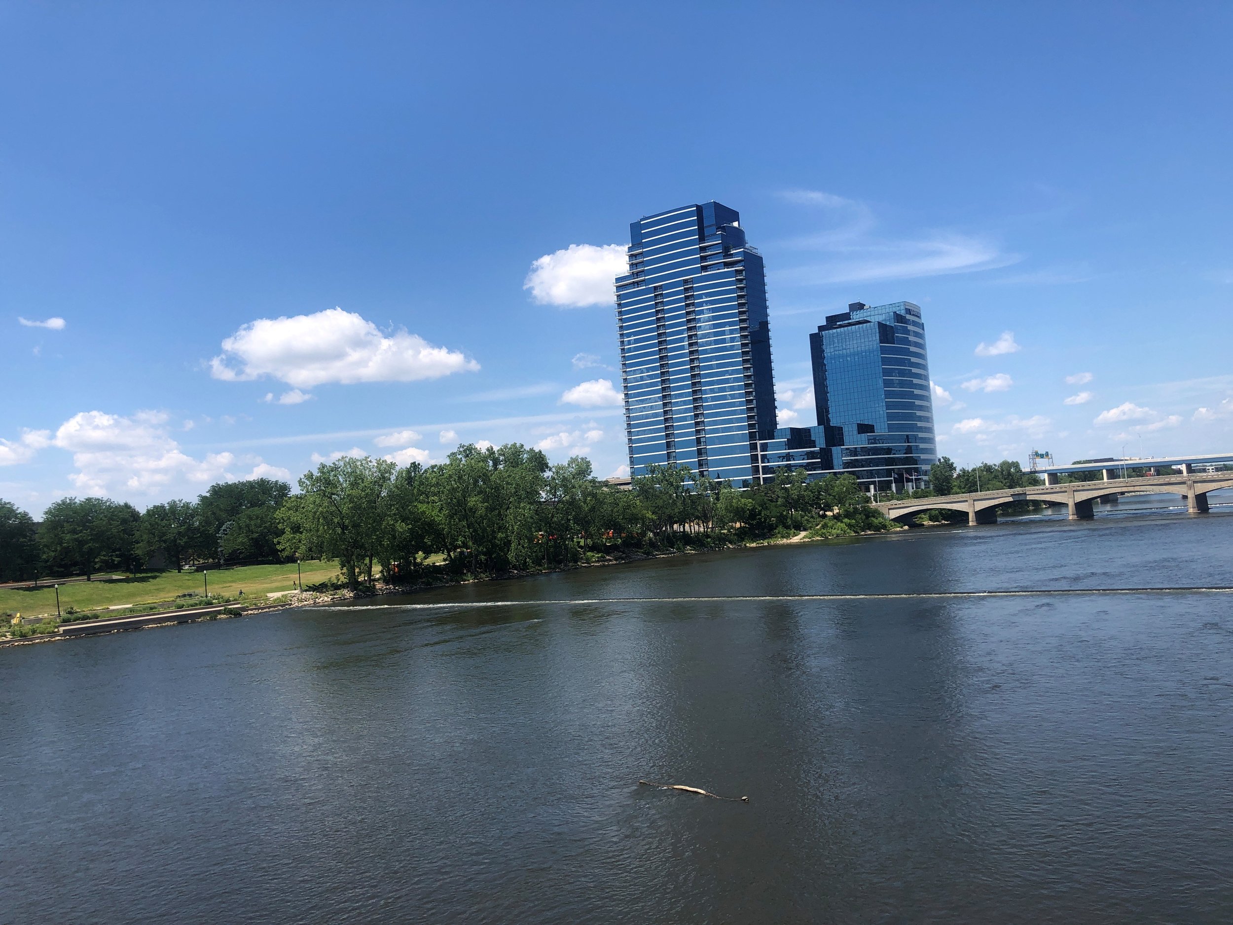
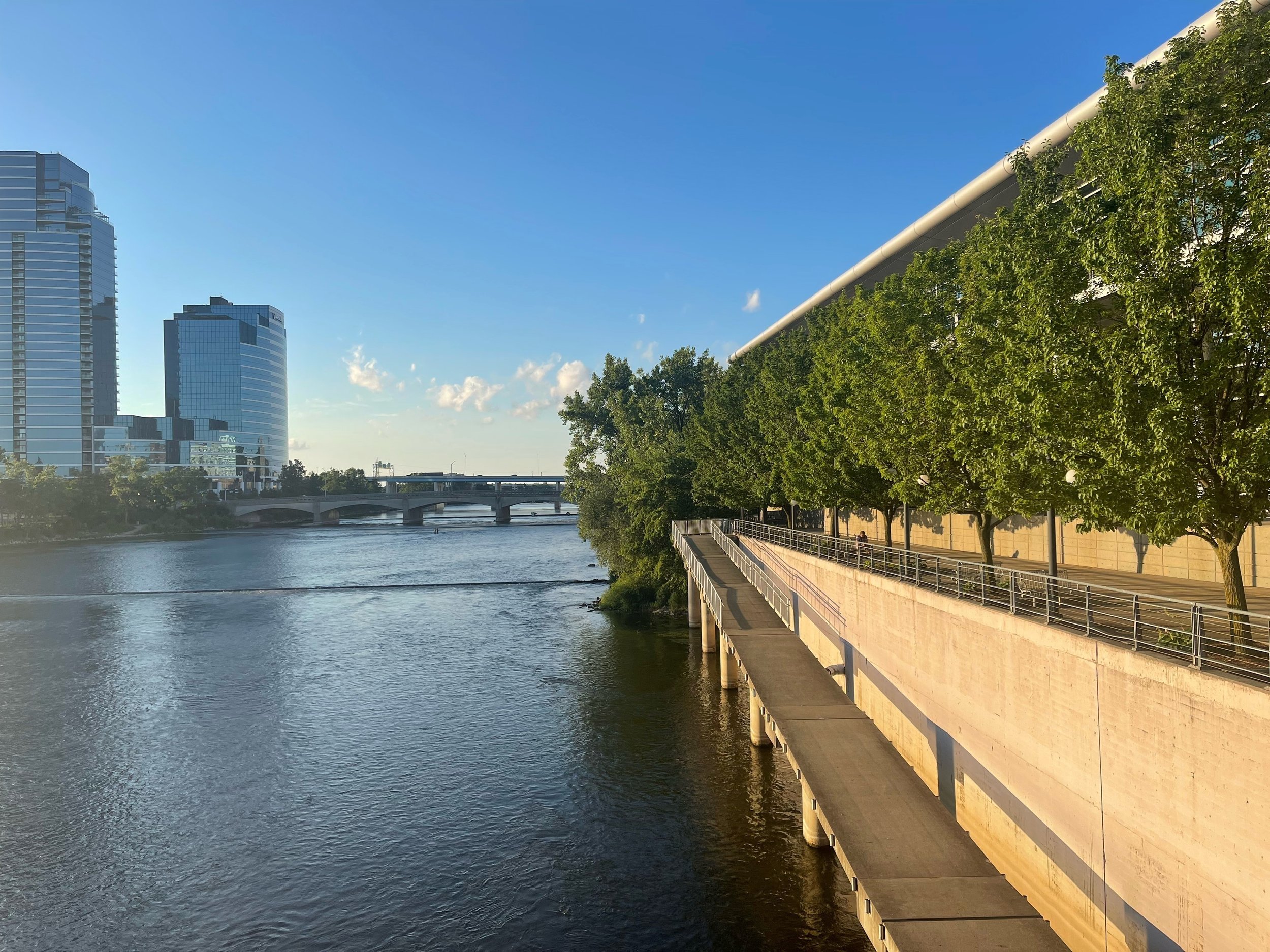
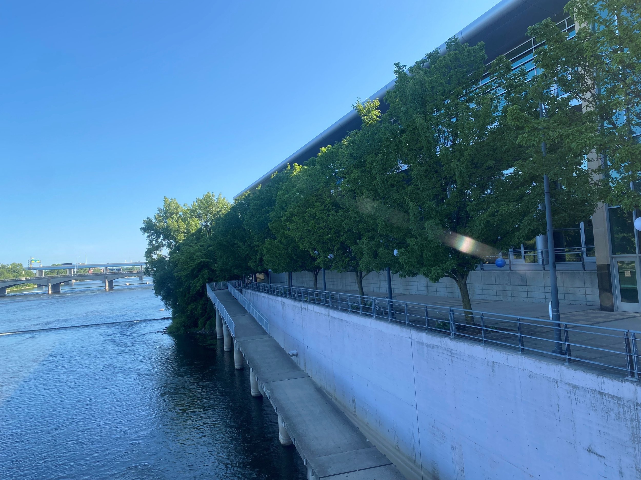
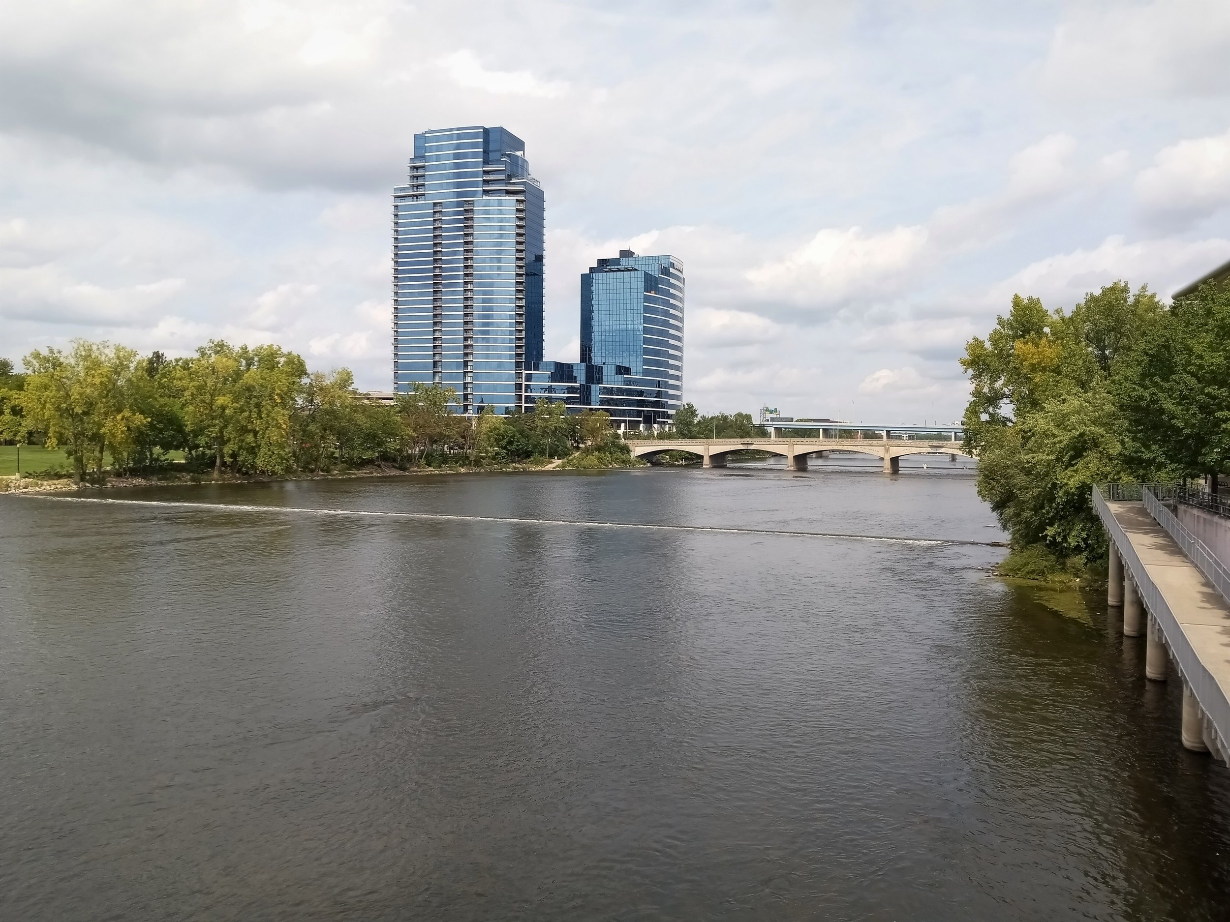
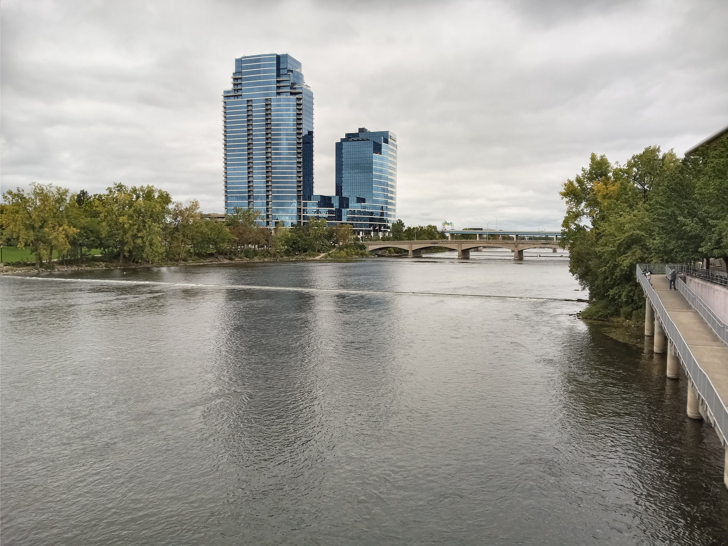
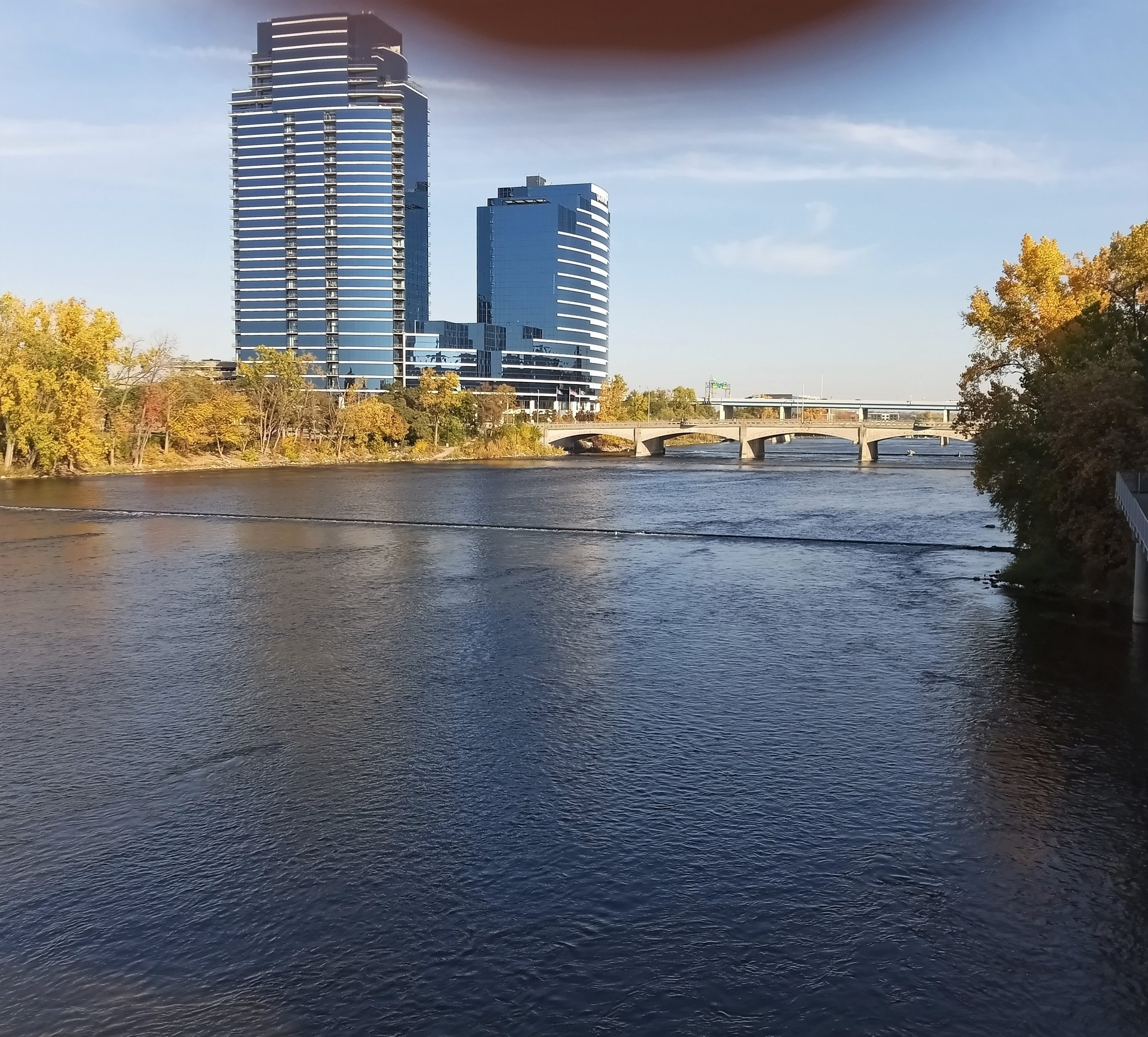
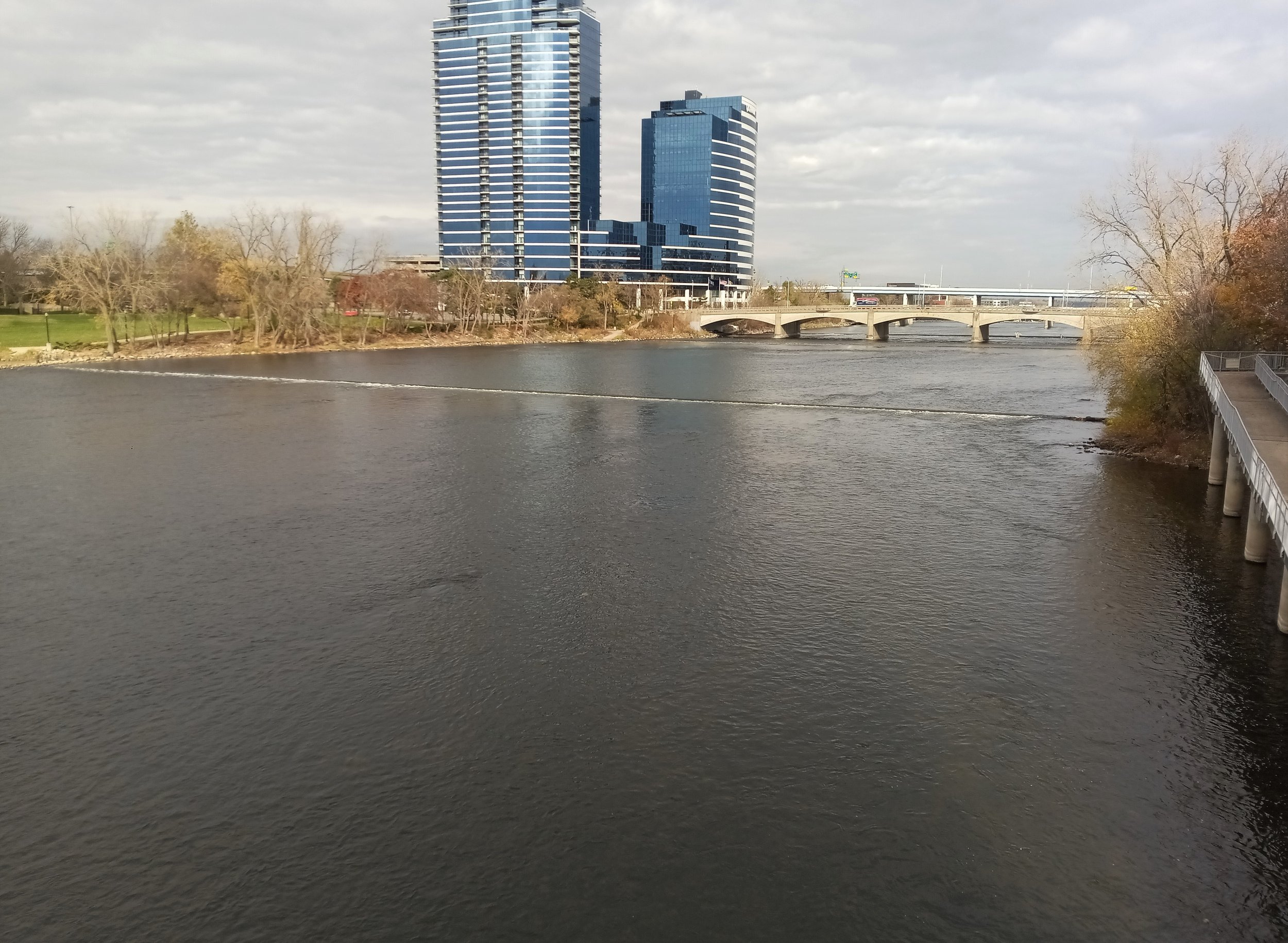
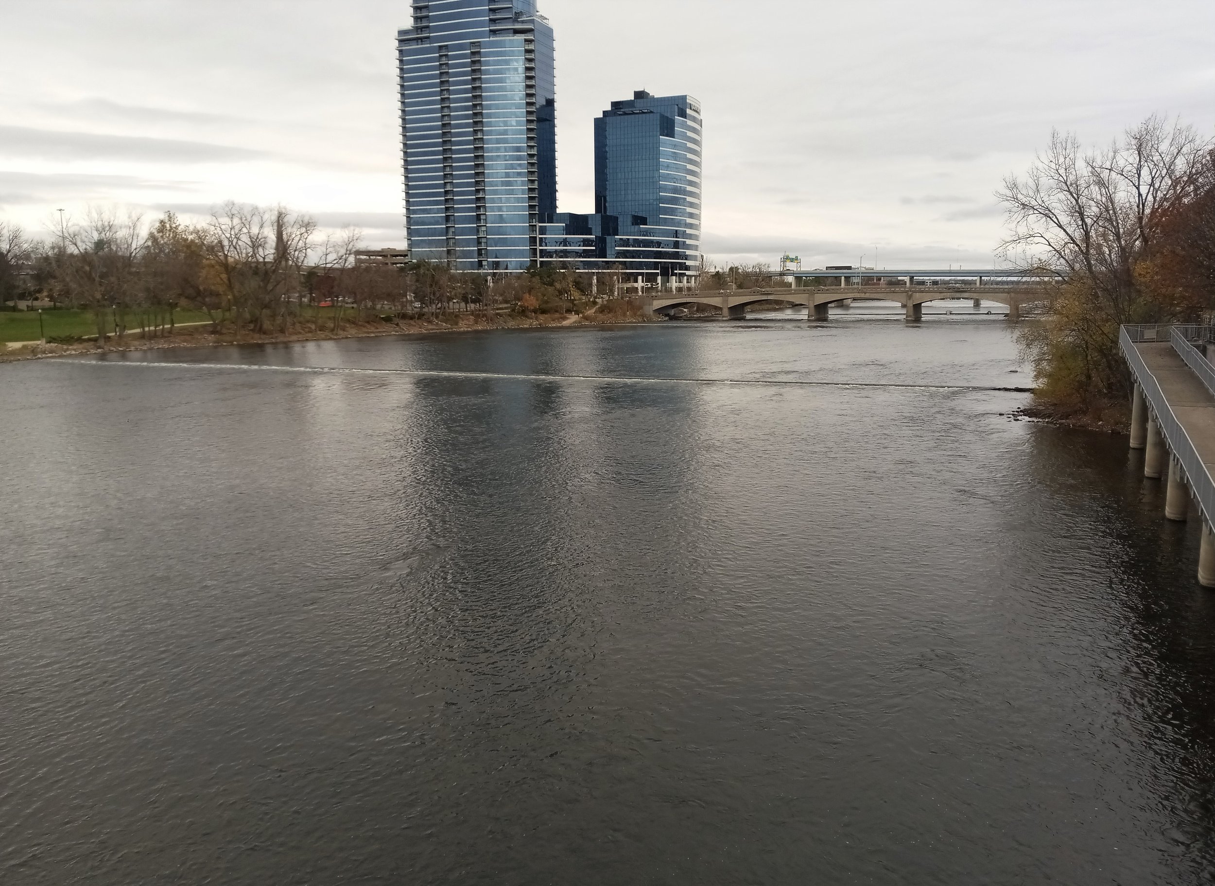
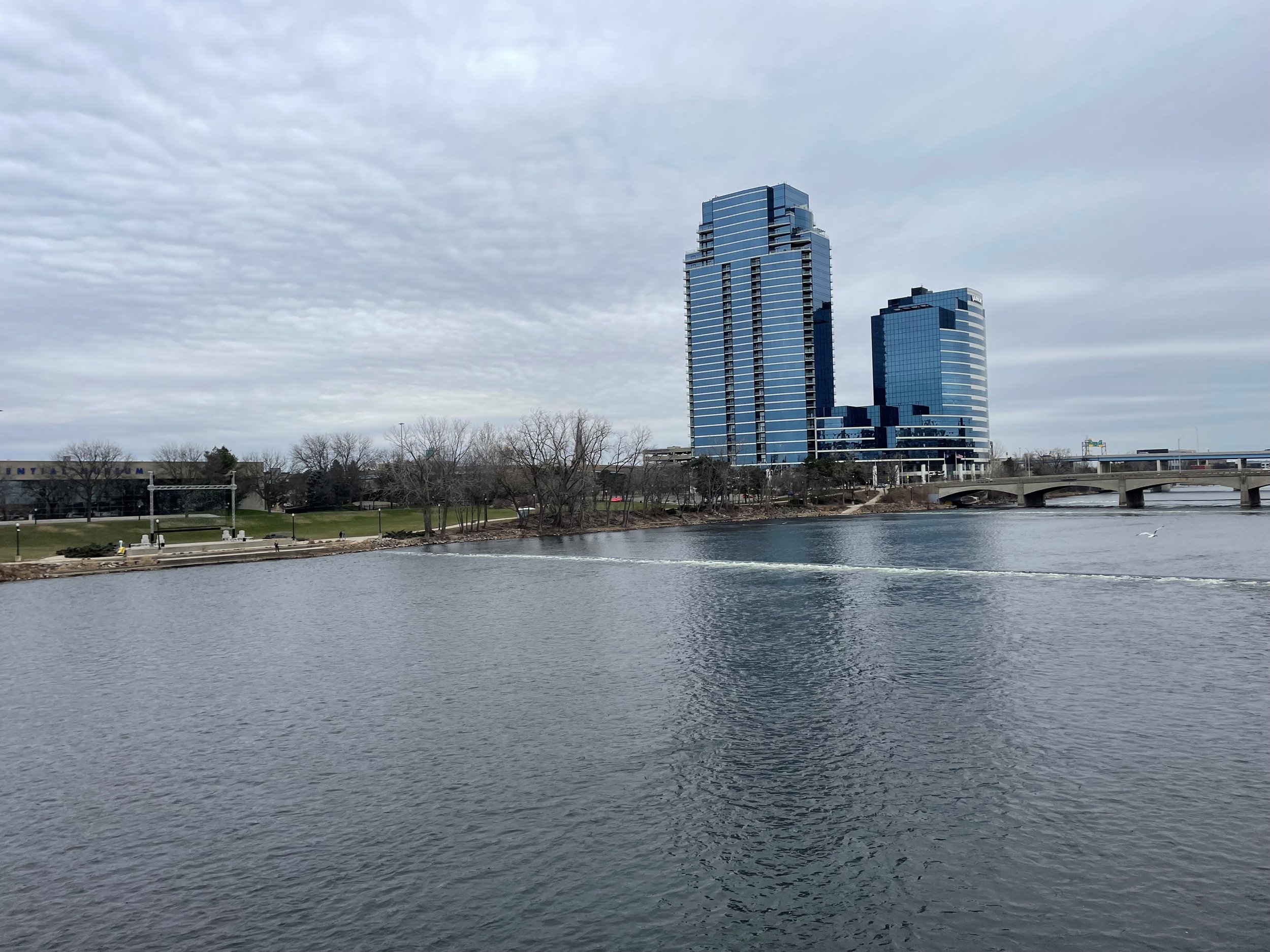
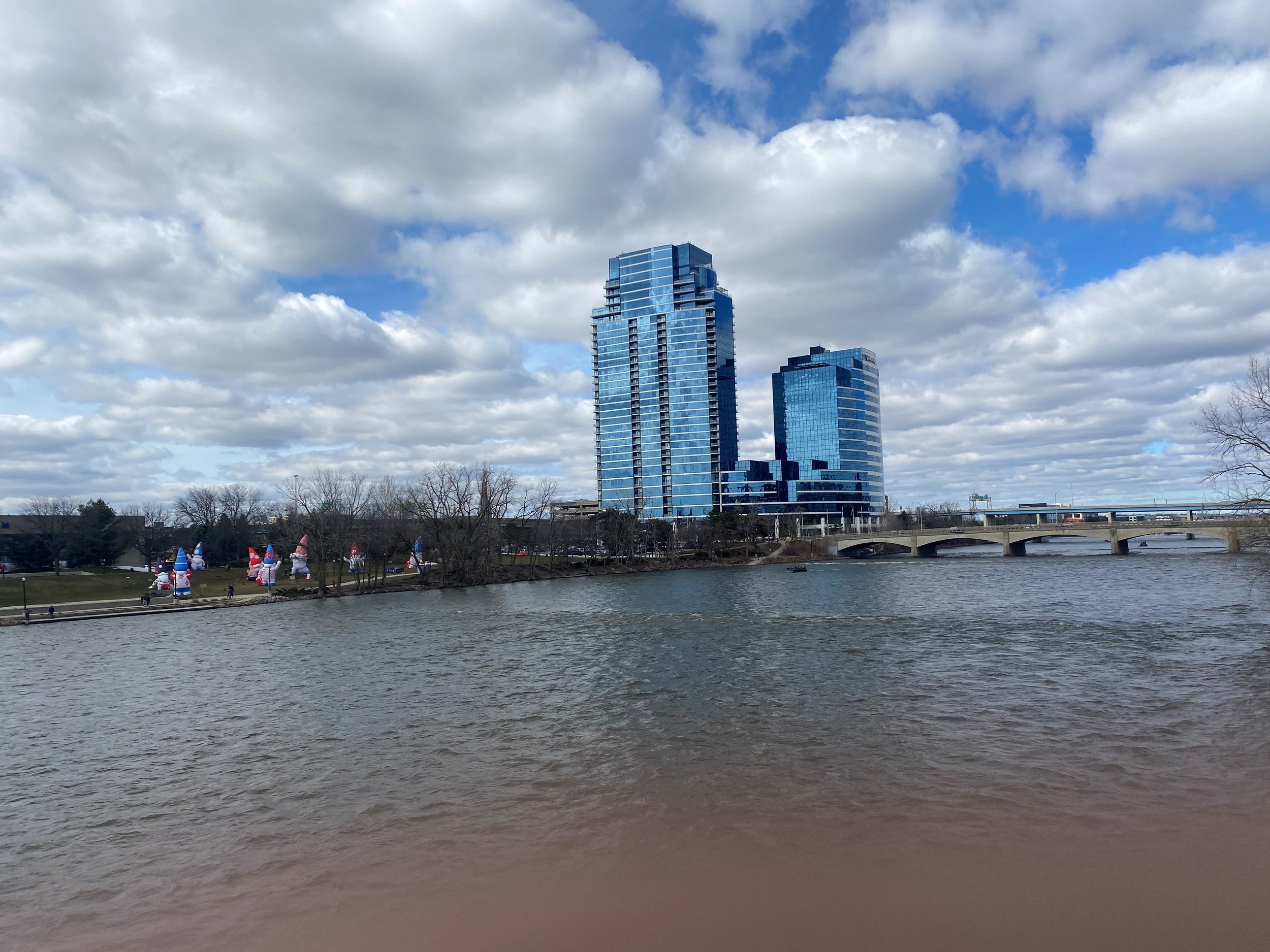
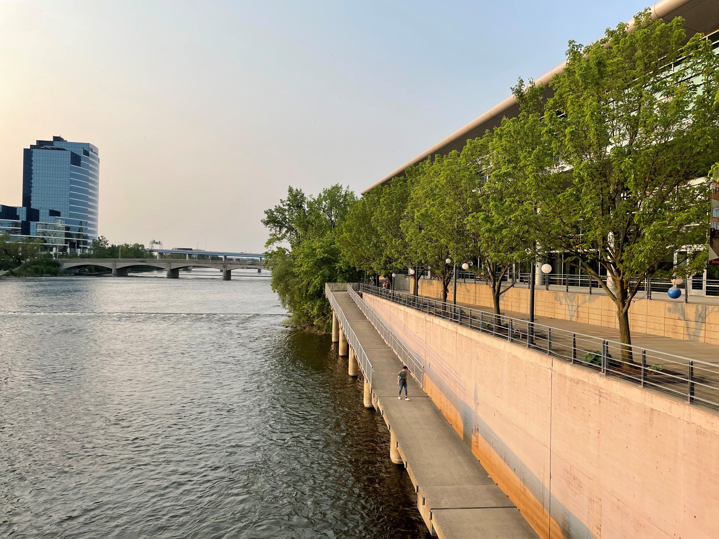
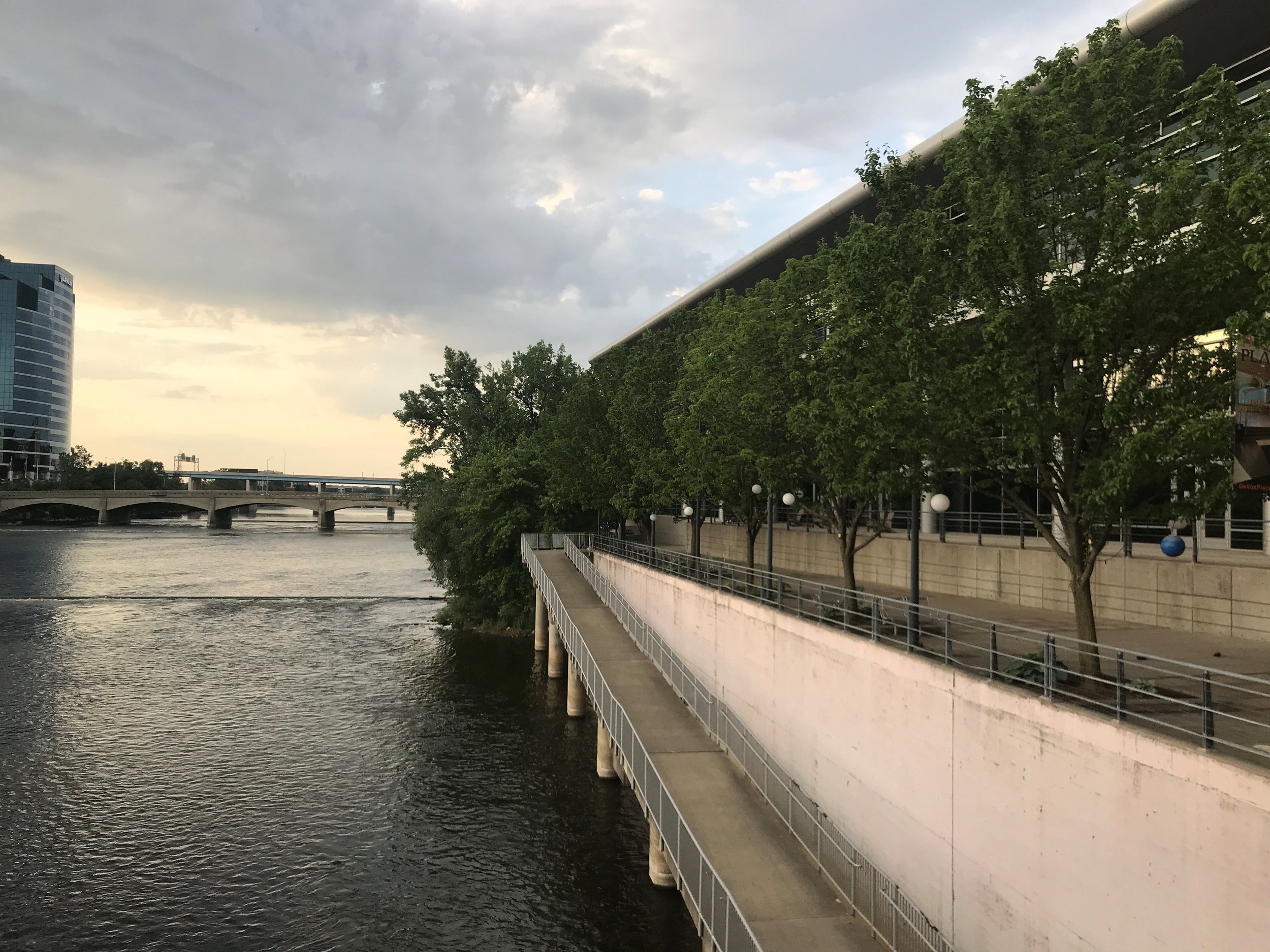
LGROW is looking for community scientists to photograph the 4 low-head dam removal locations along the Grand River.
Learn more about our photo monitoring stations below.
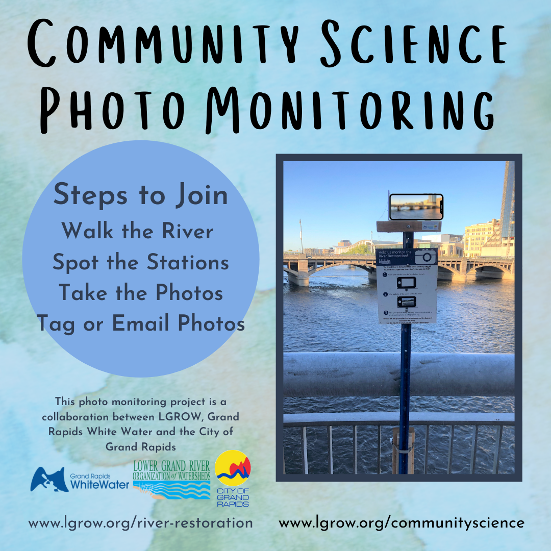
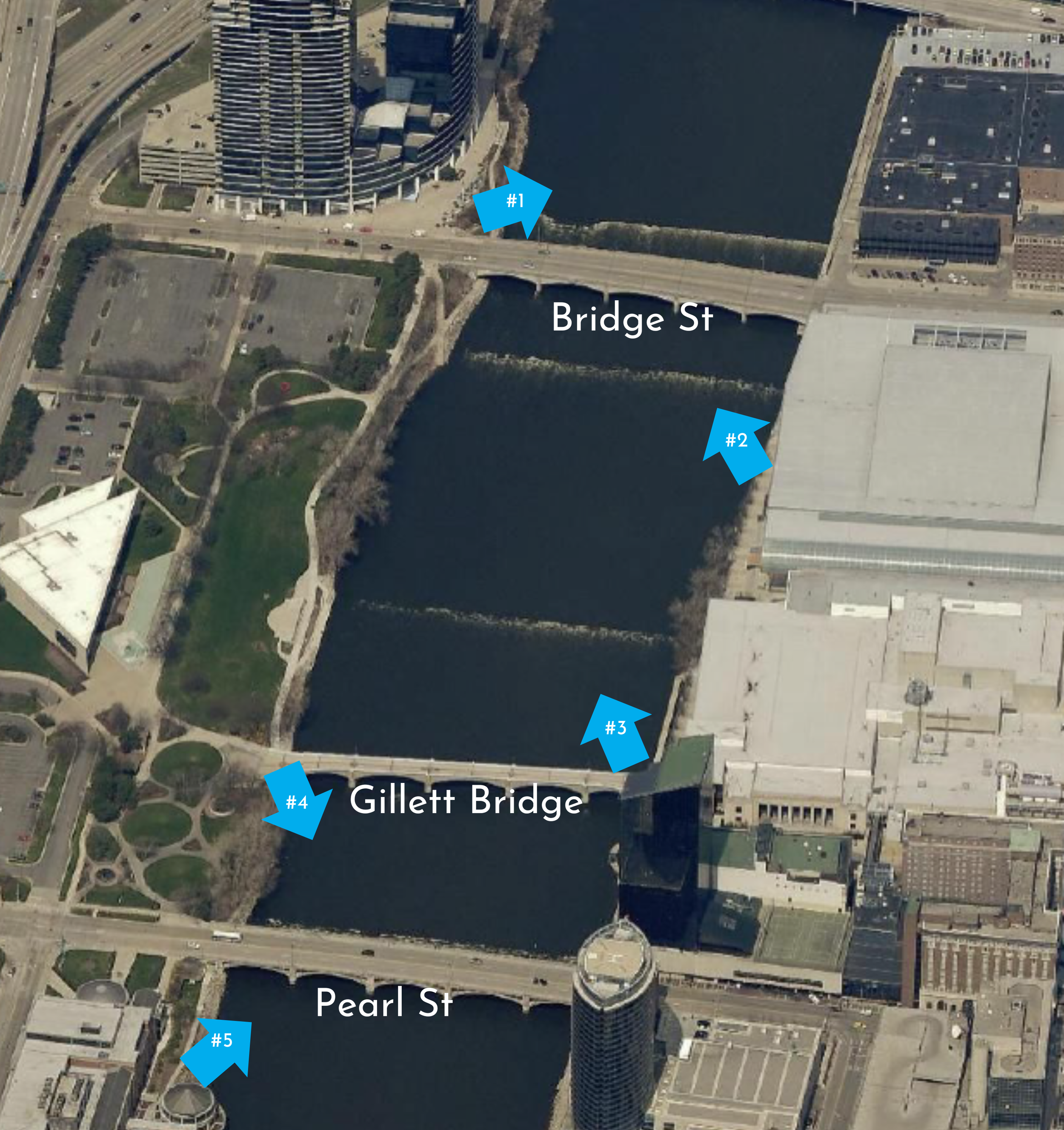
Where to find our photo monitoring stations:
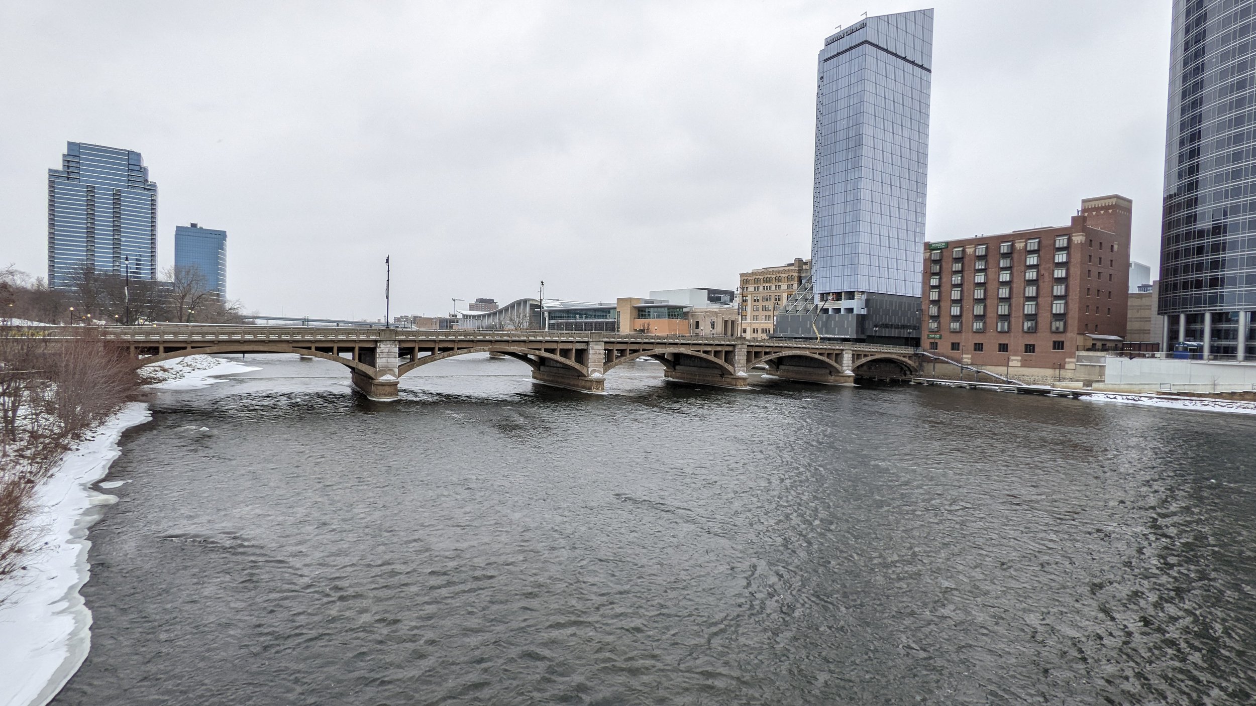
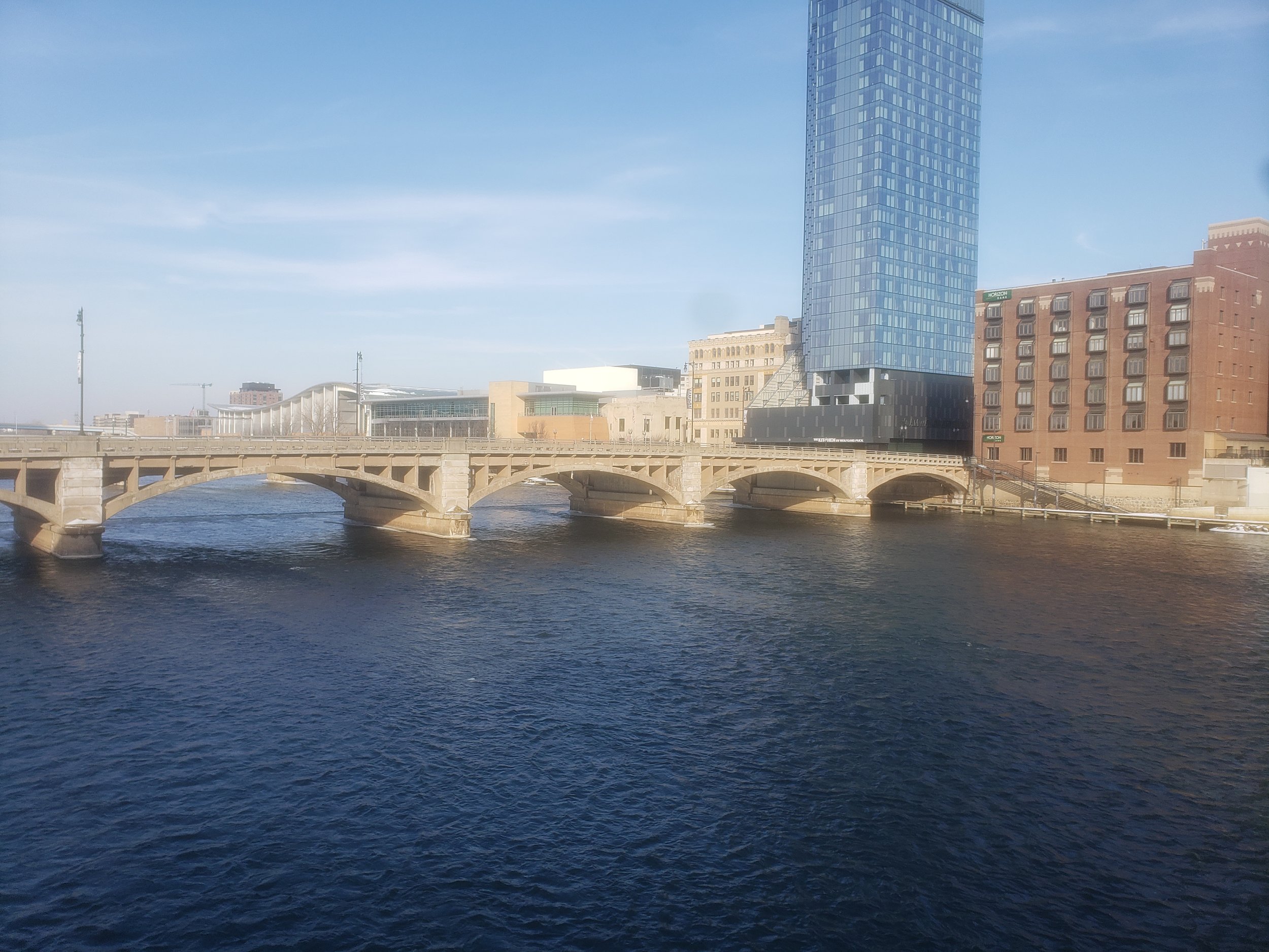
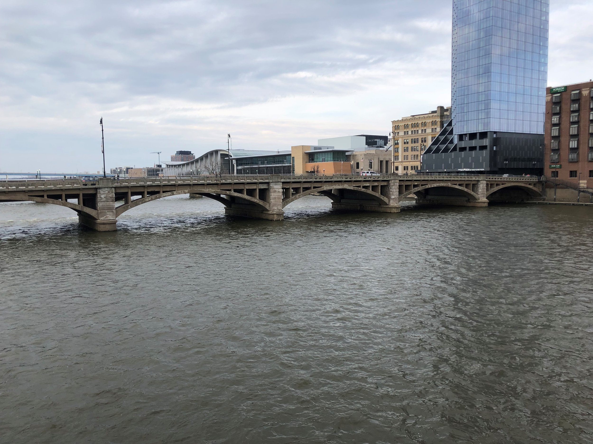
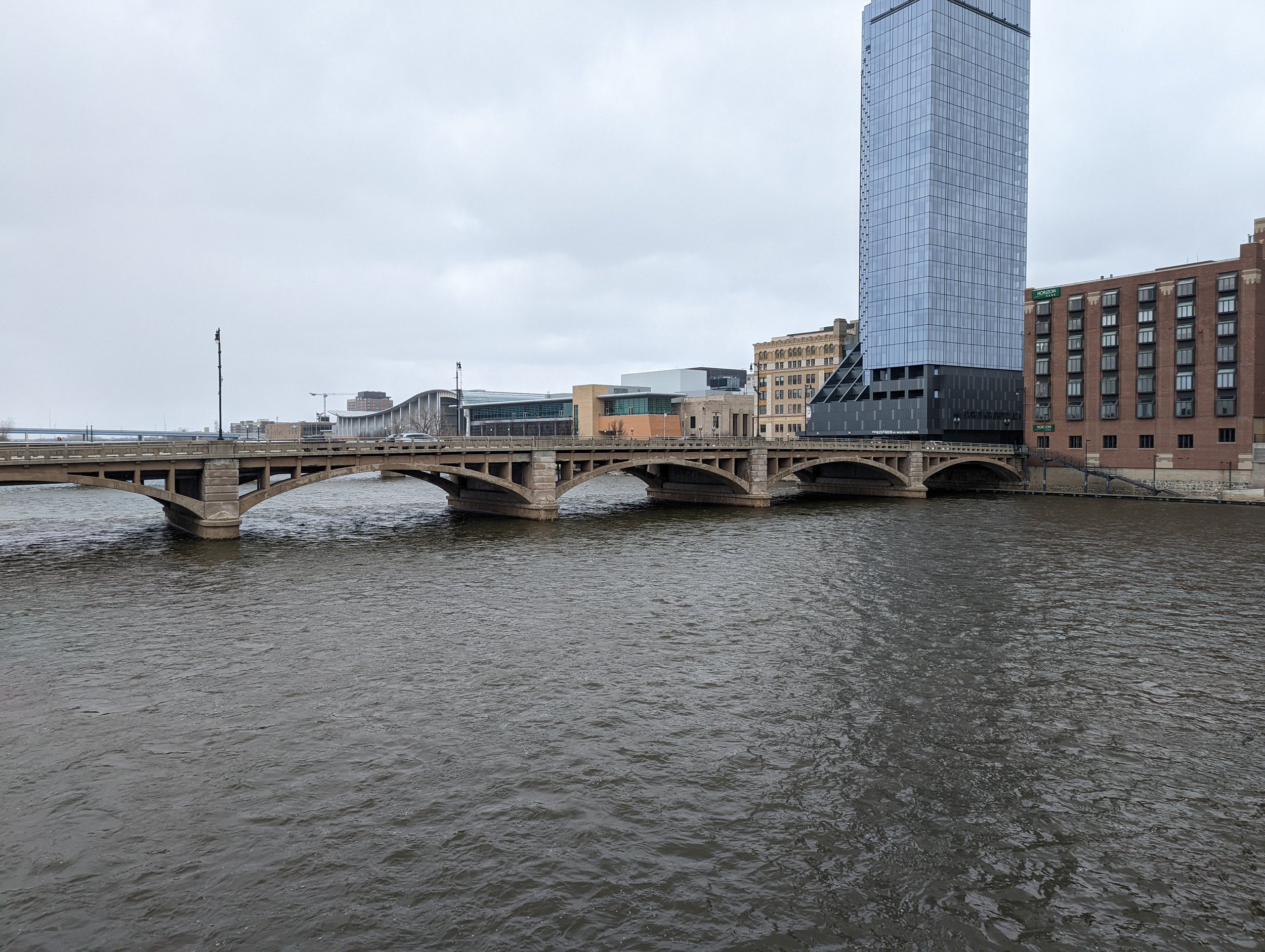
GRPM #5
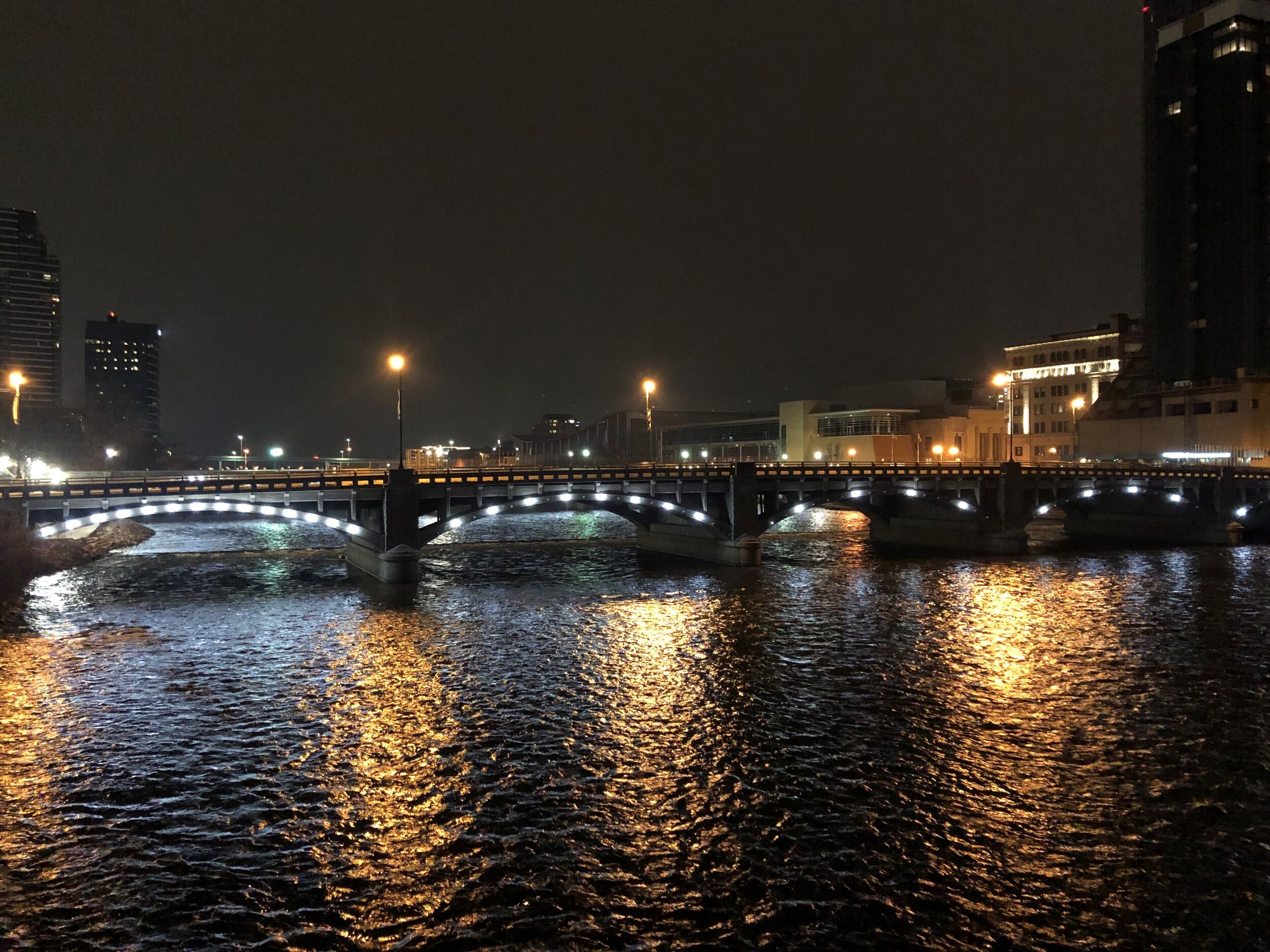
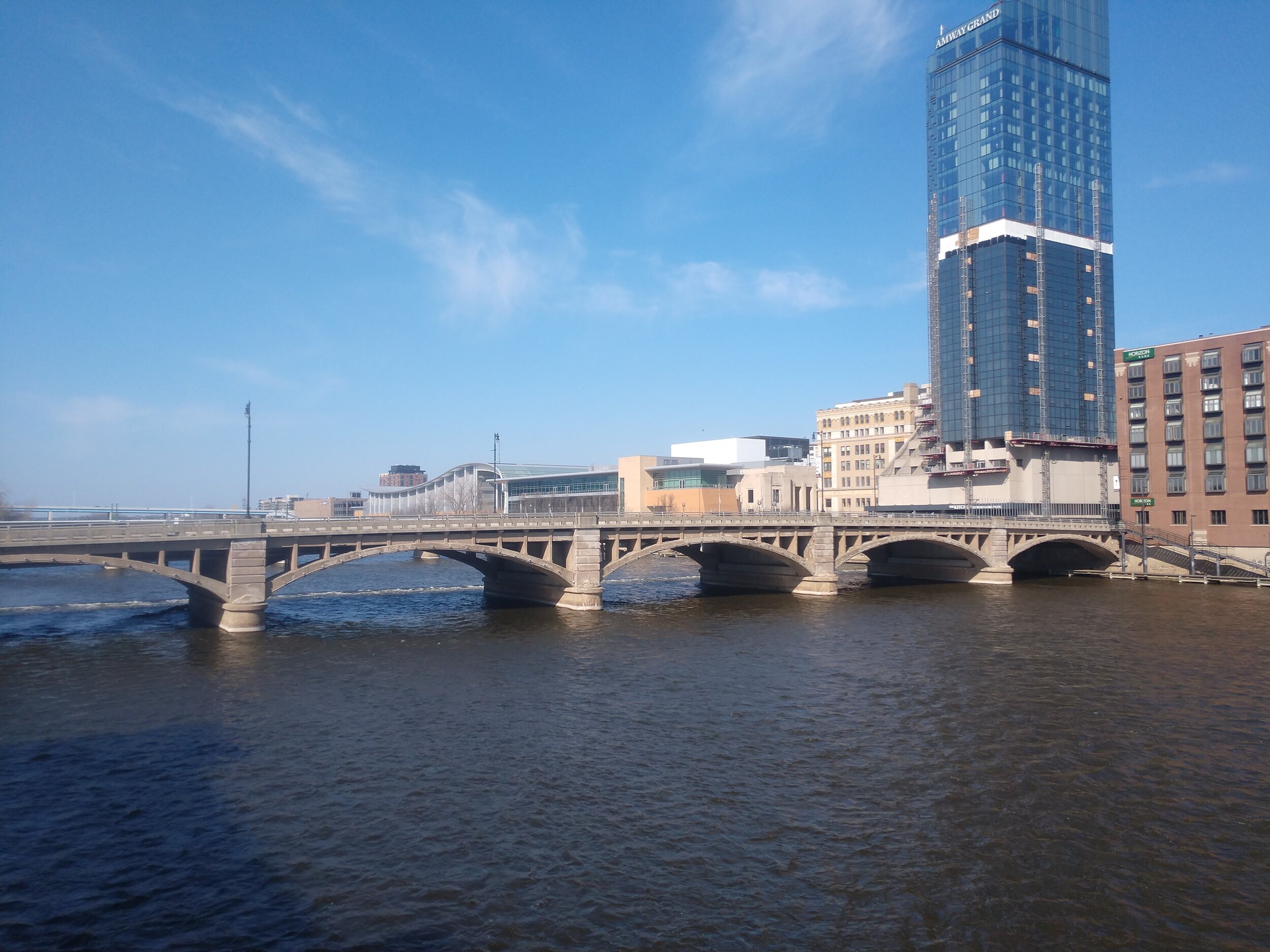
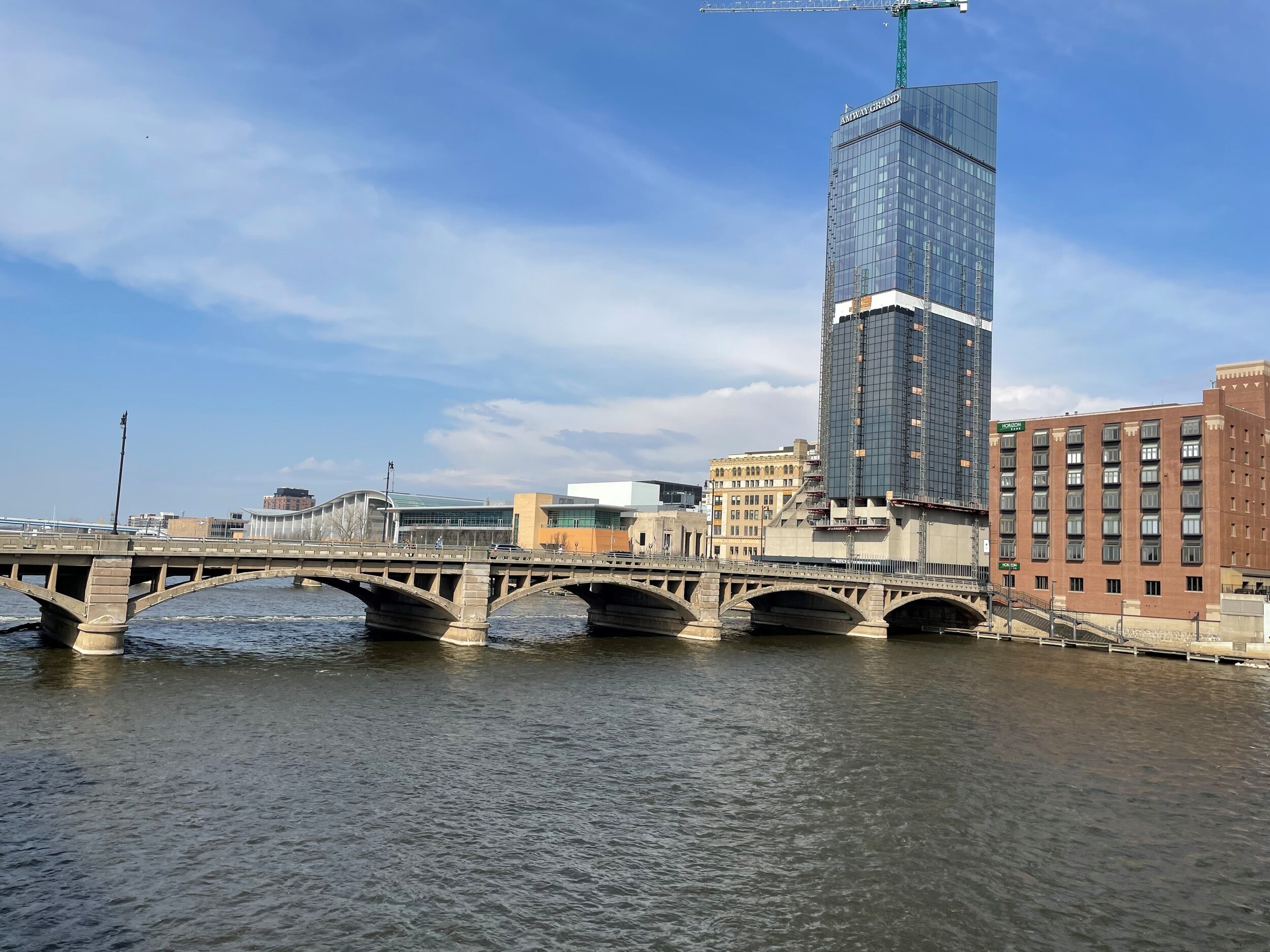
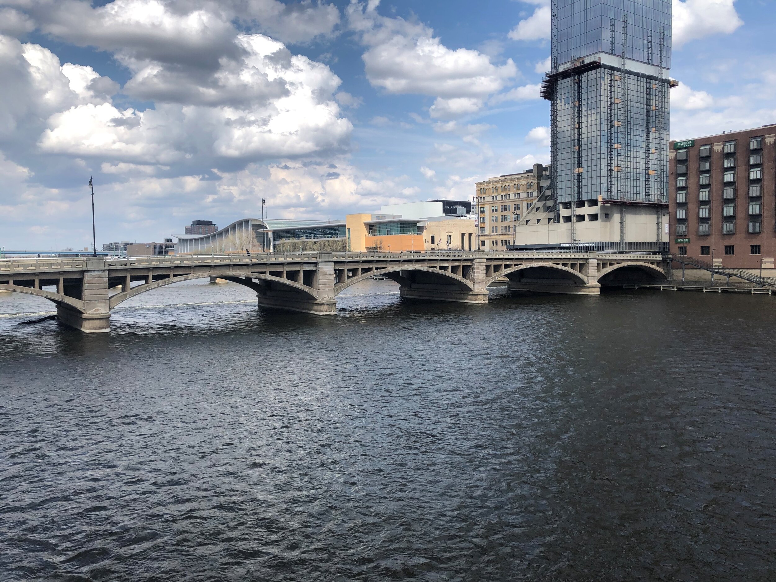
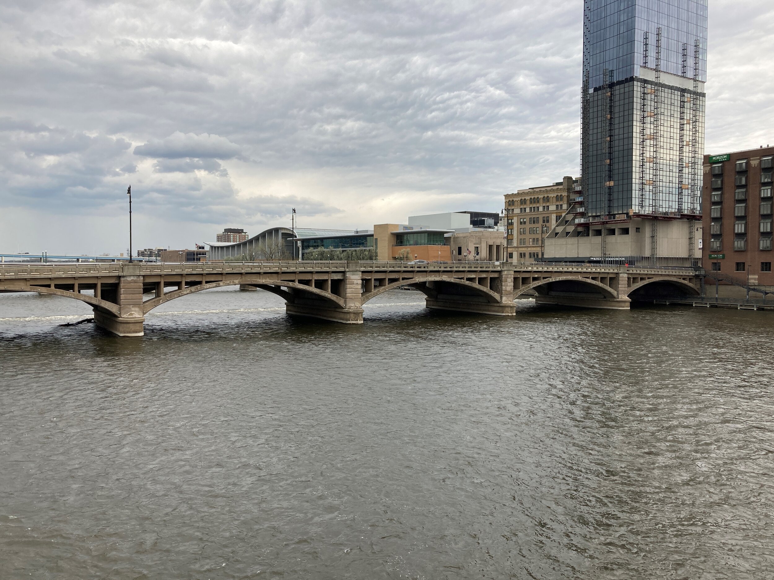
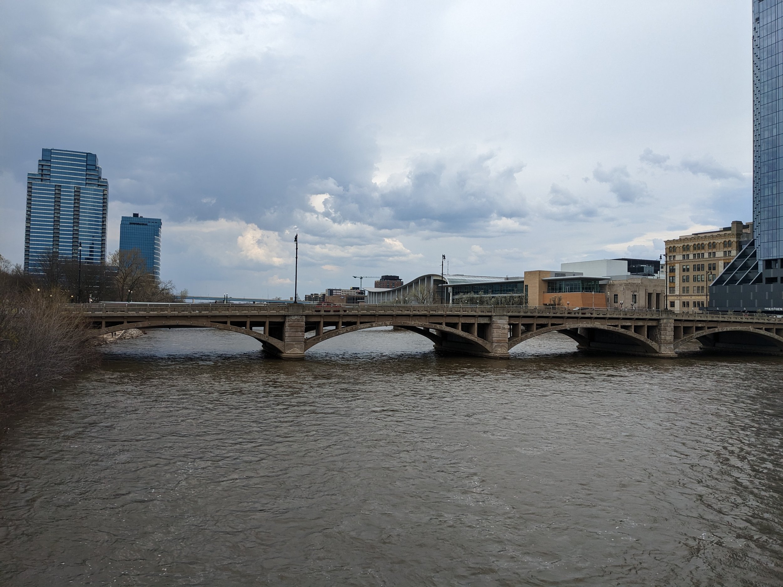
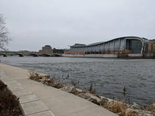
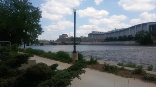
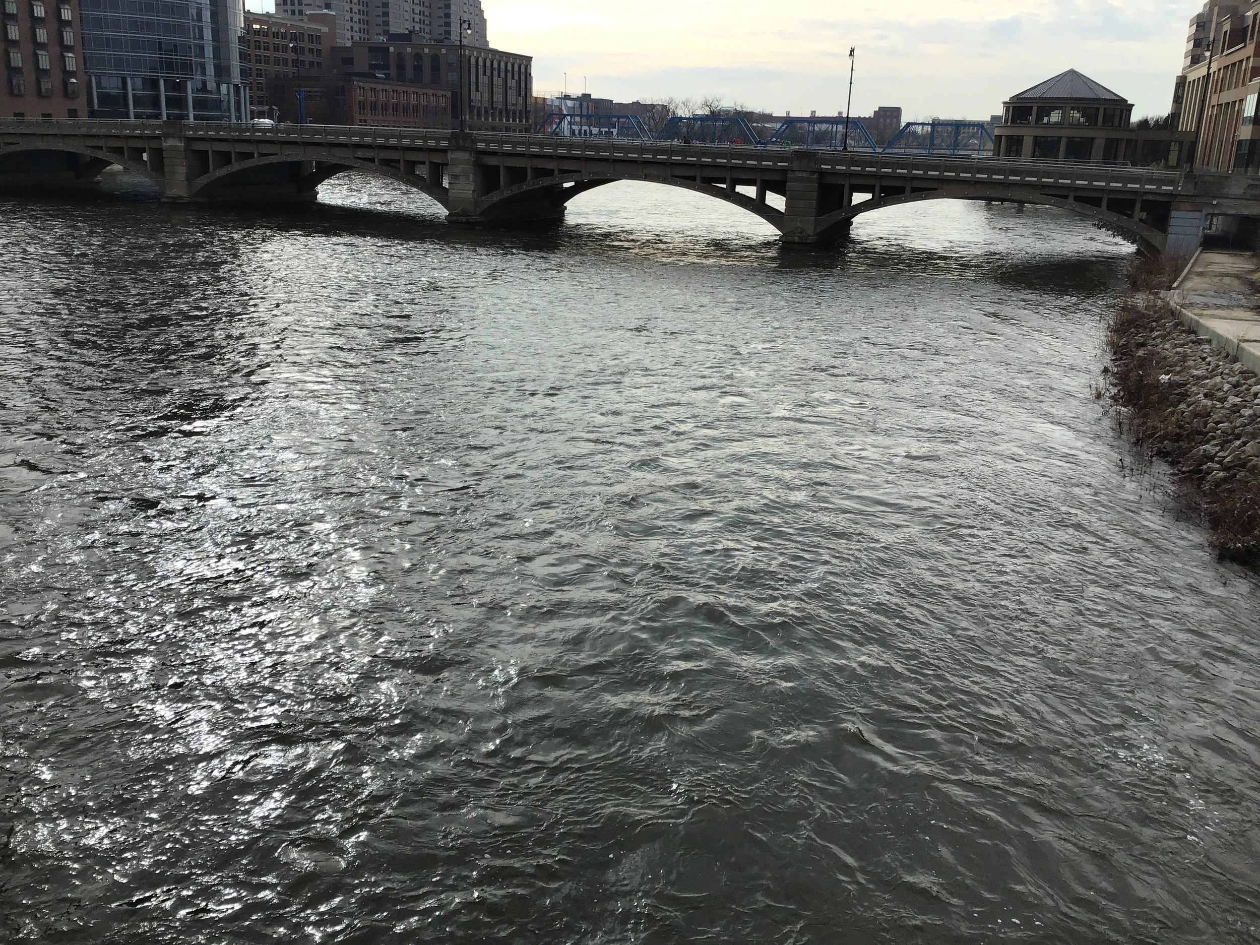
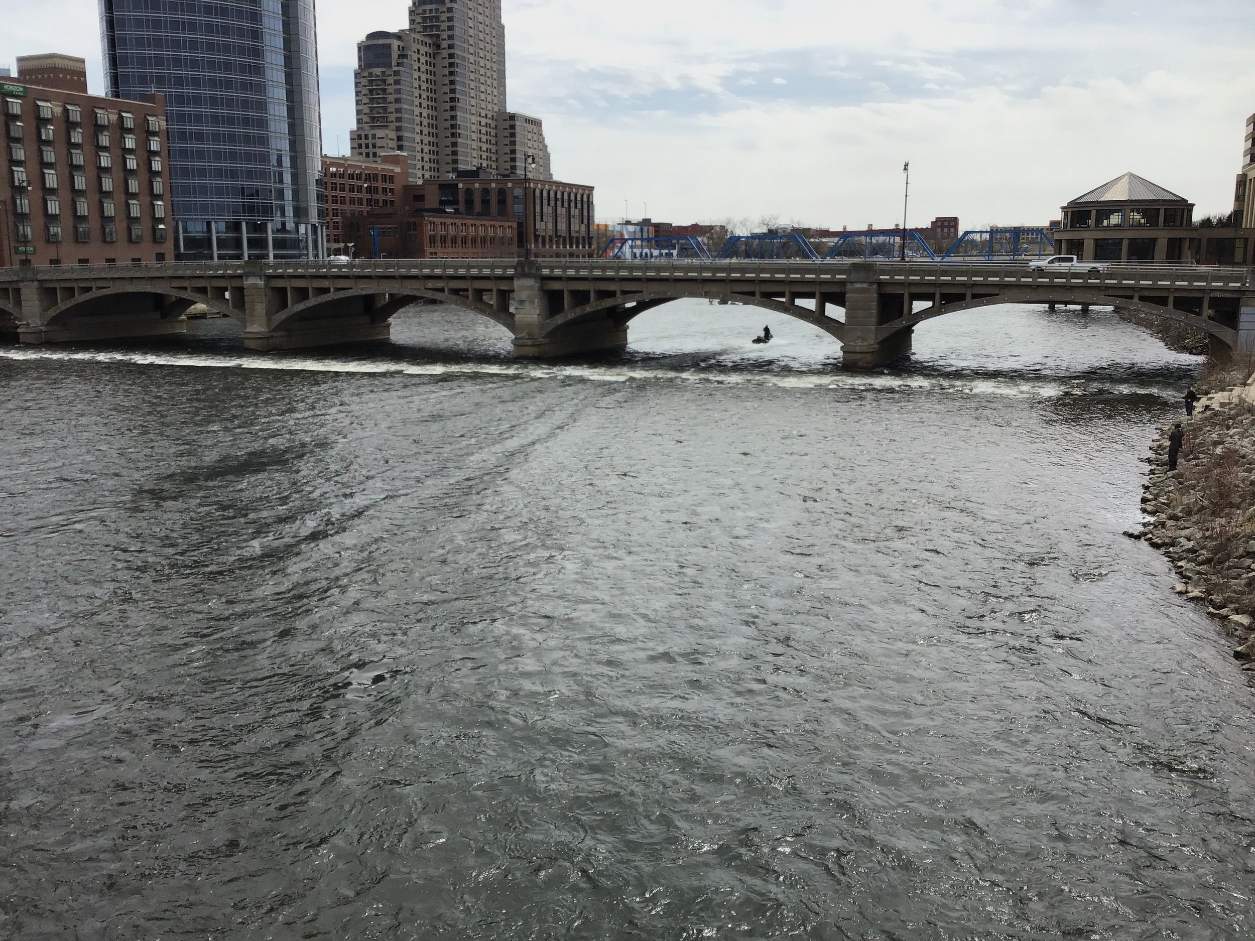
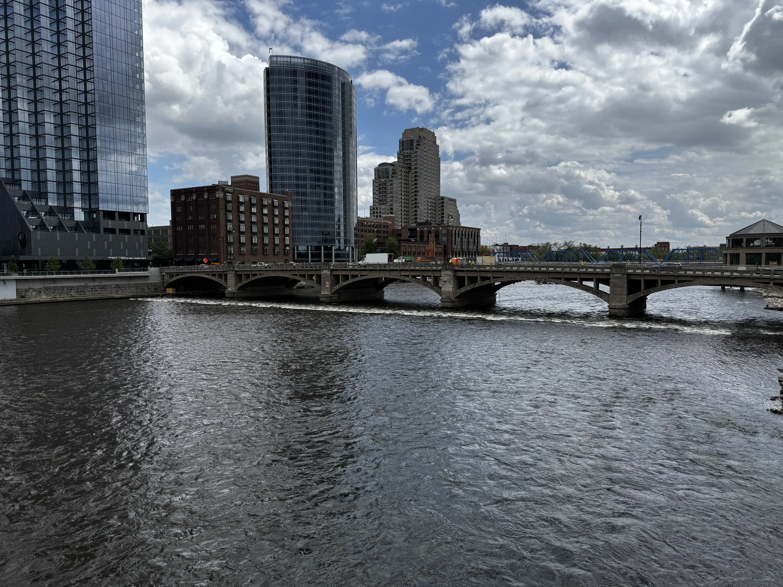
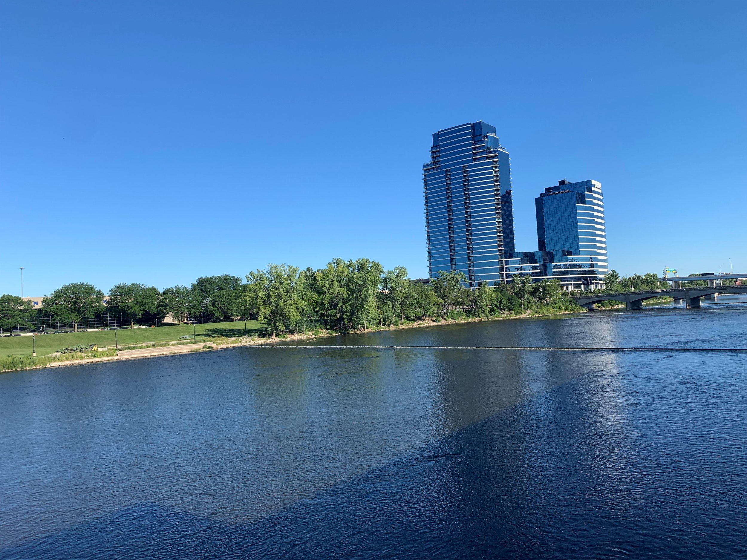
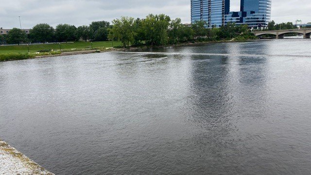
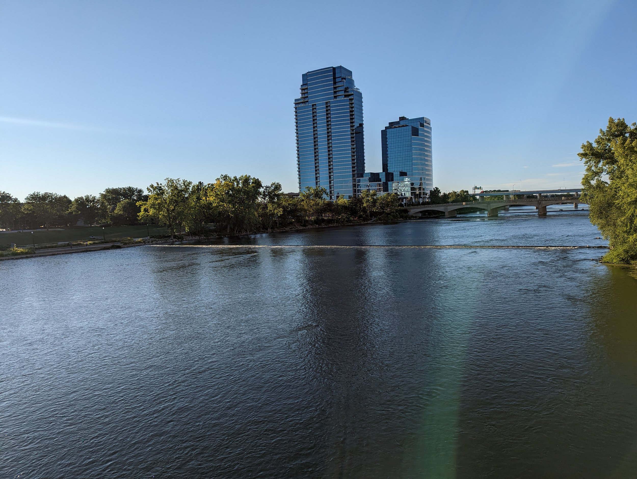
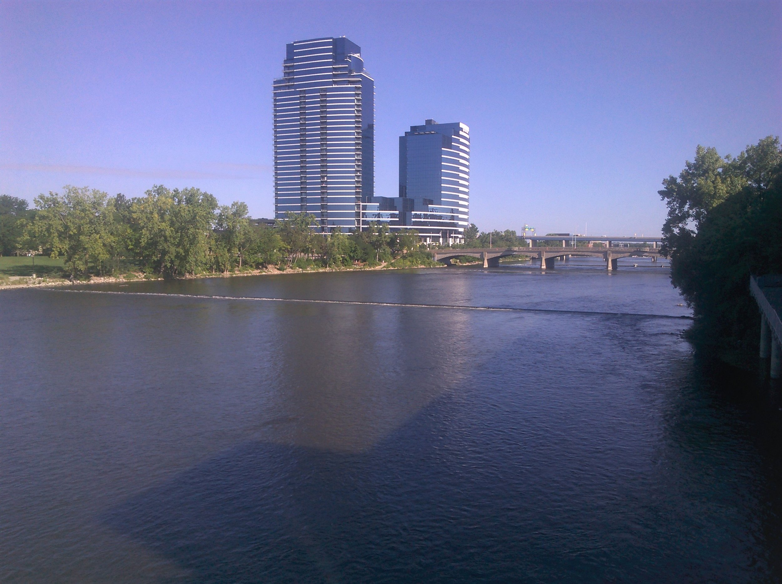
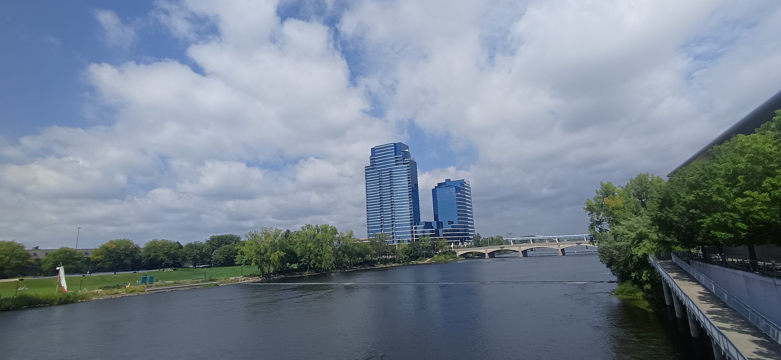
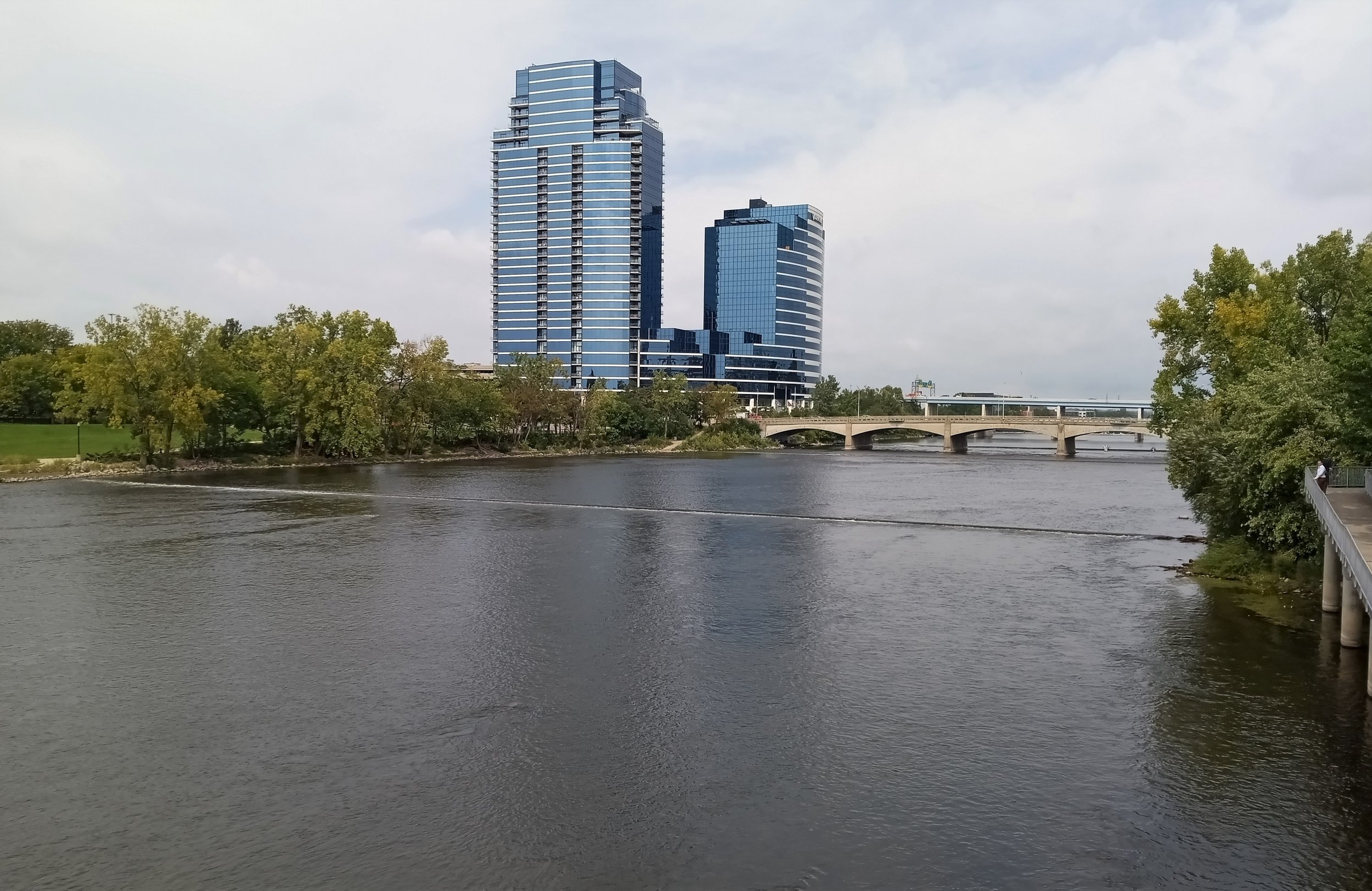
Photos from the River Restoration Photo Monitoring Project

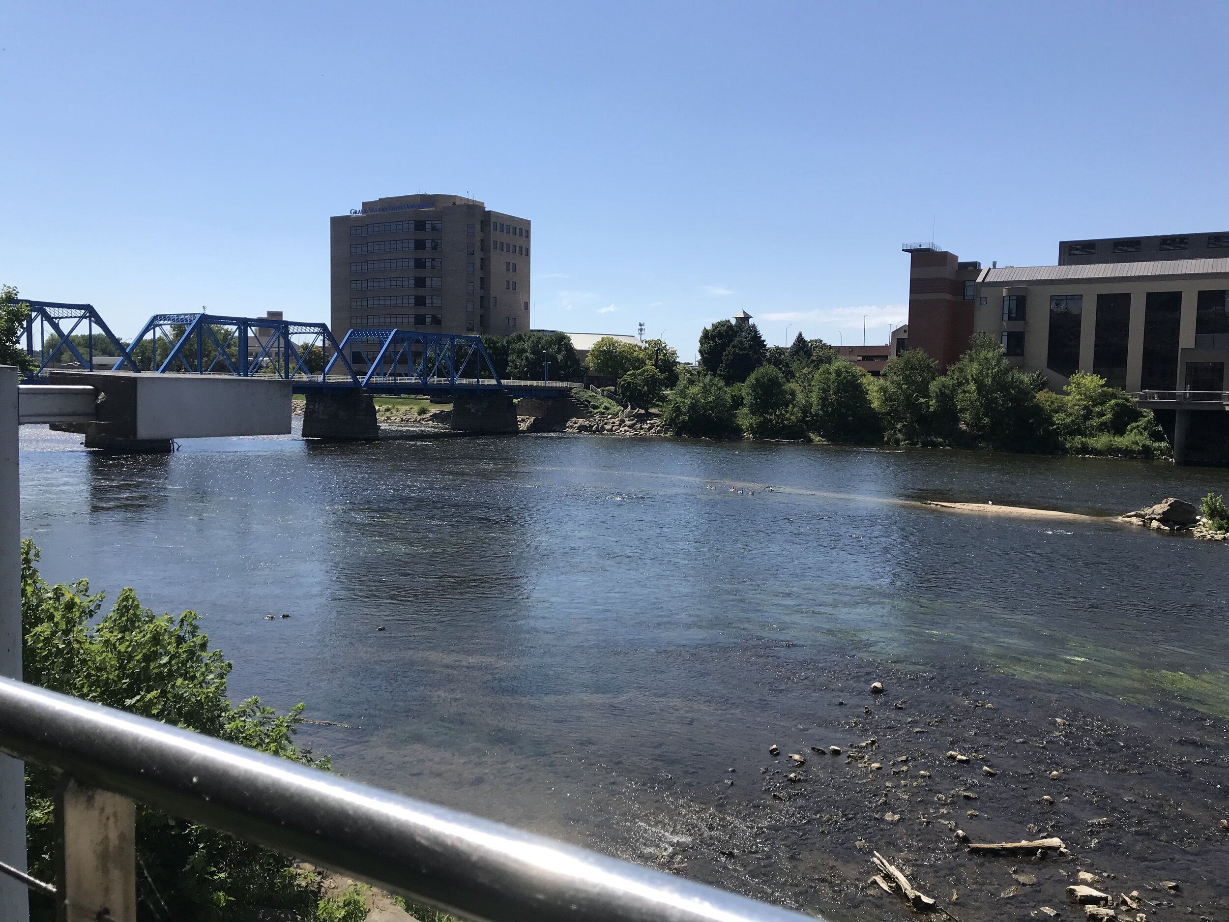
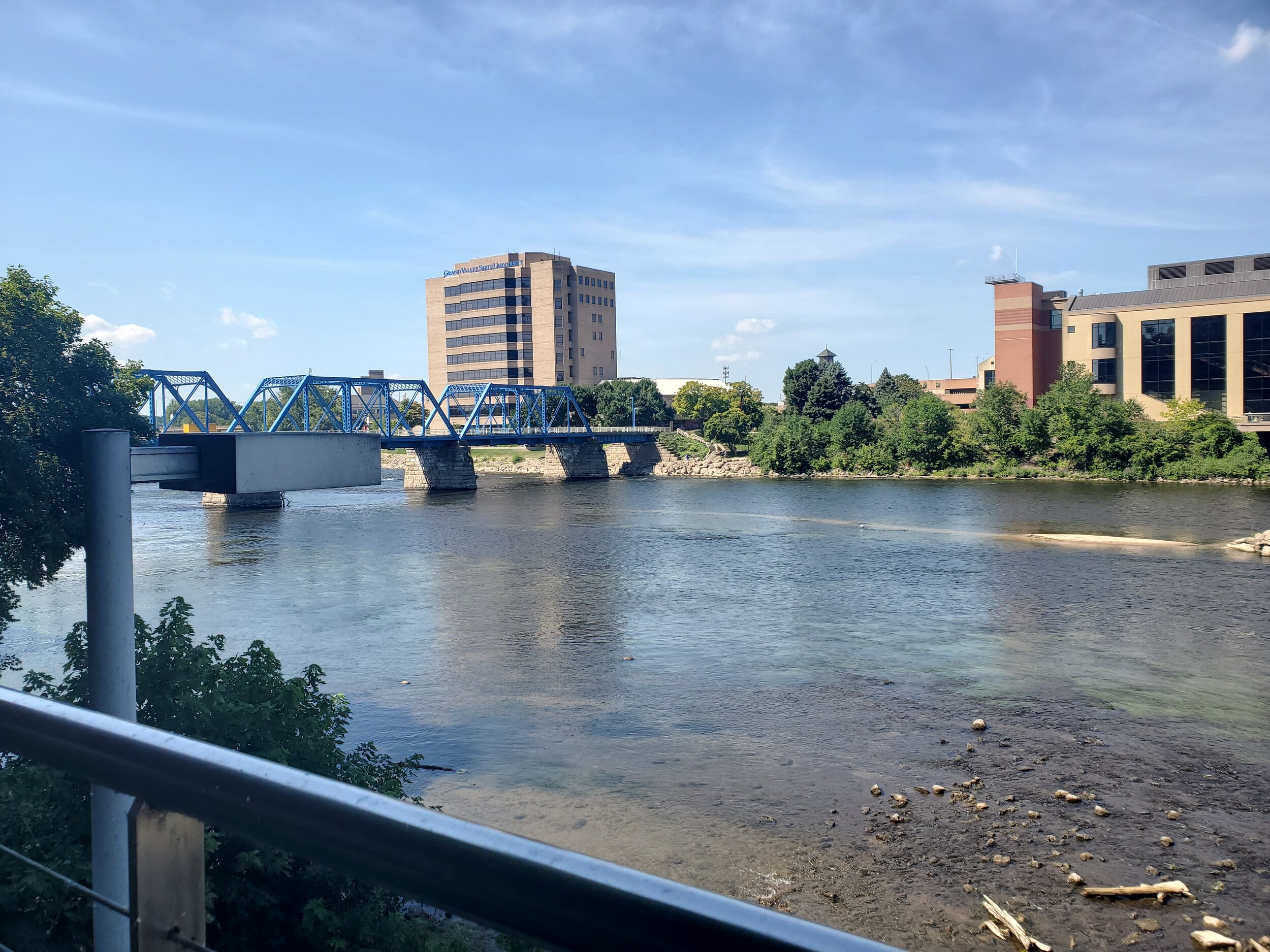
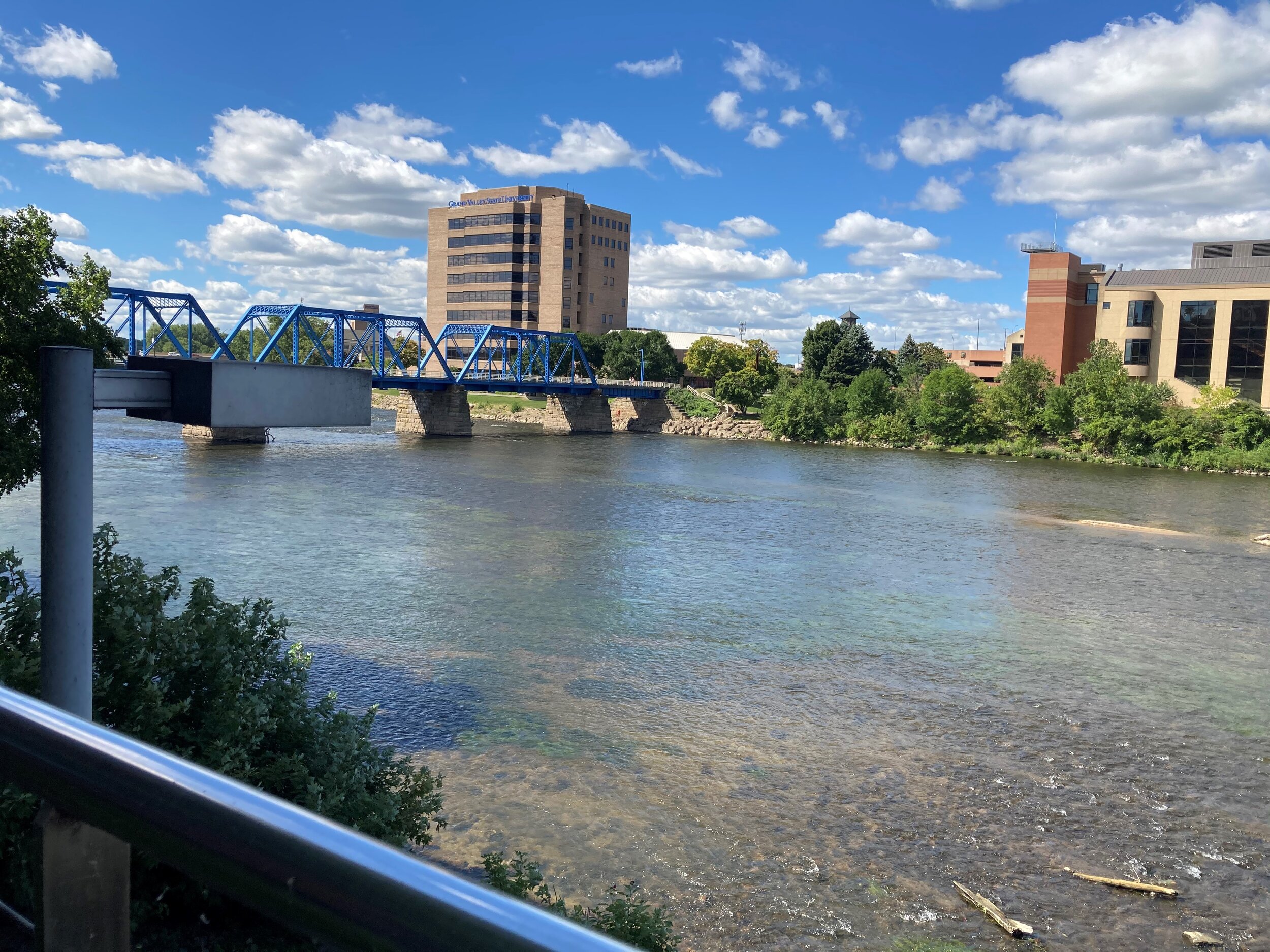


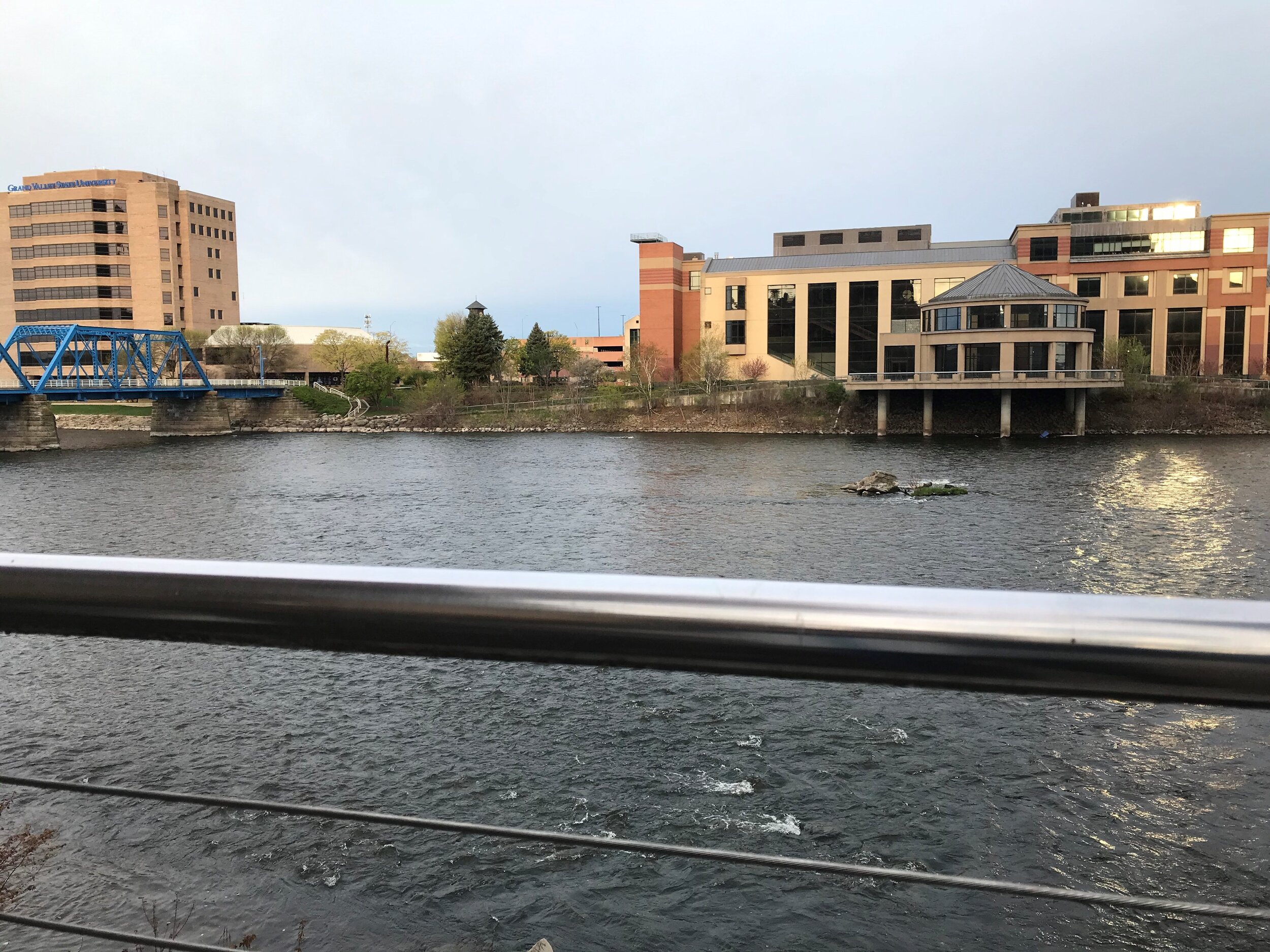
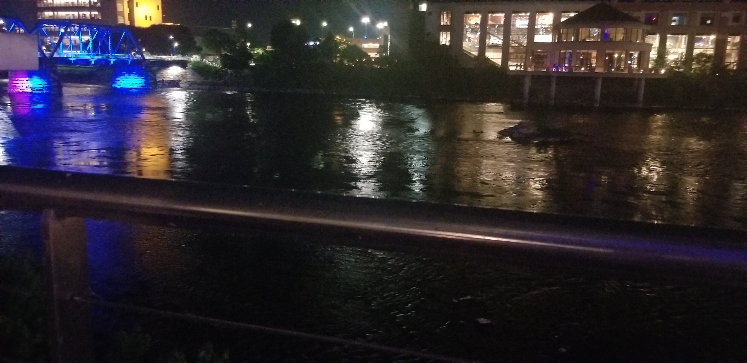
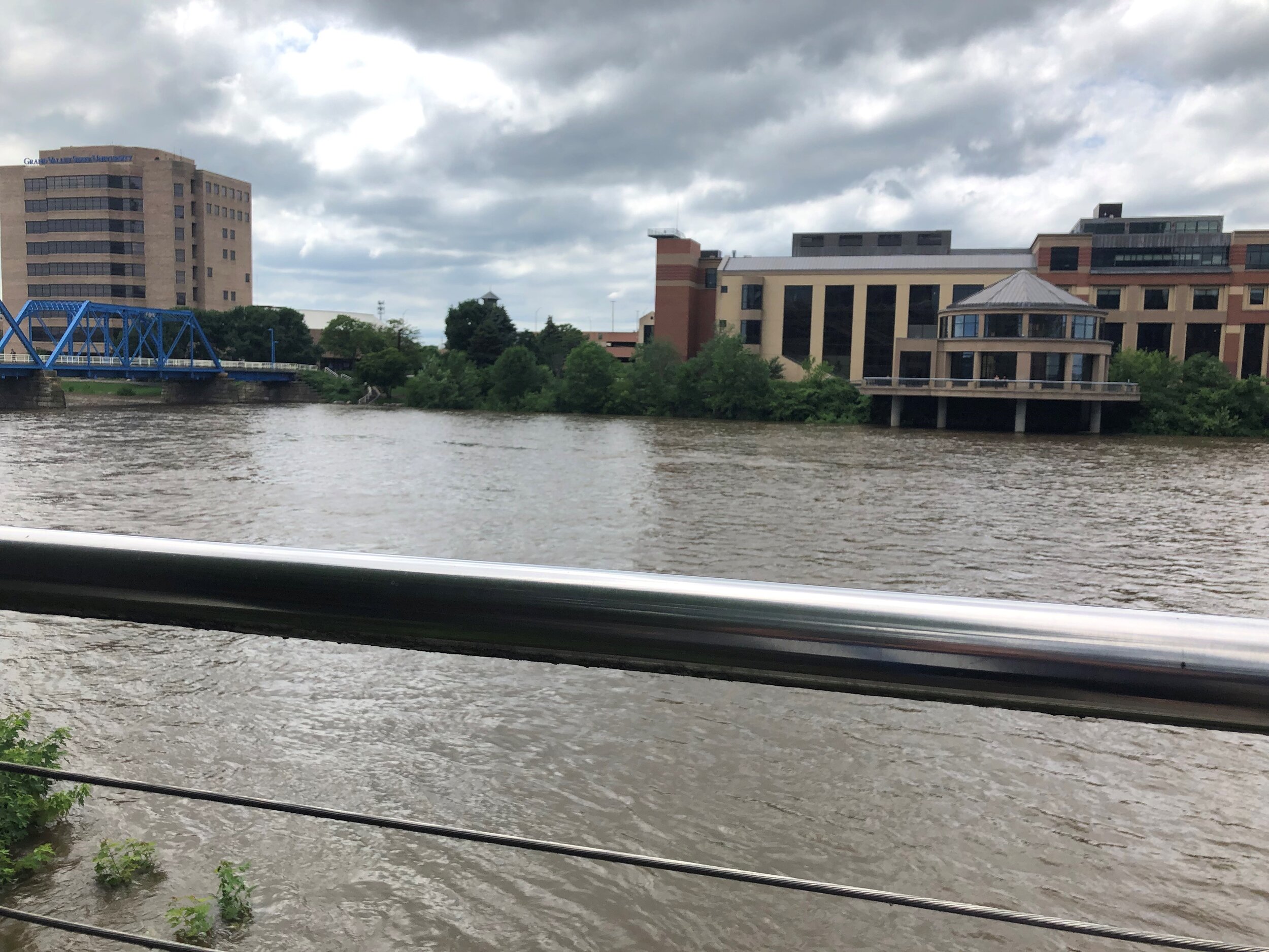
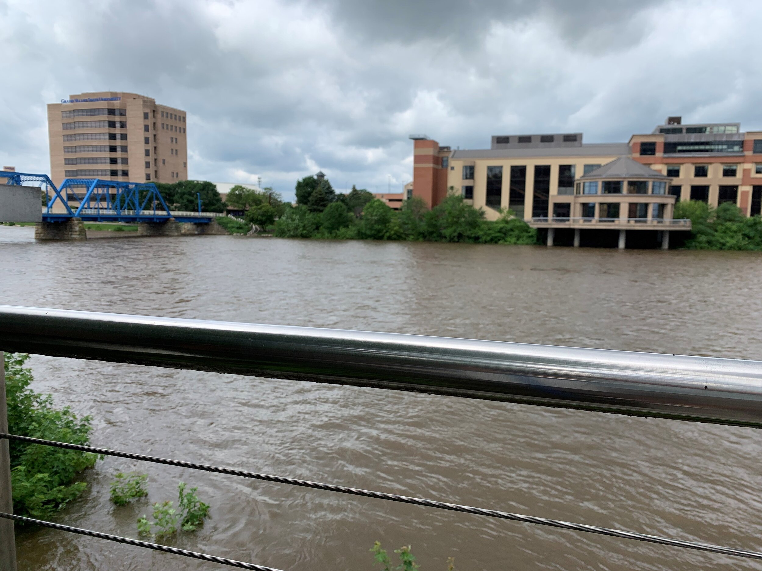

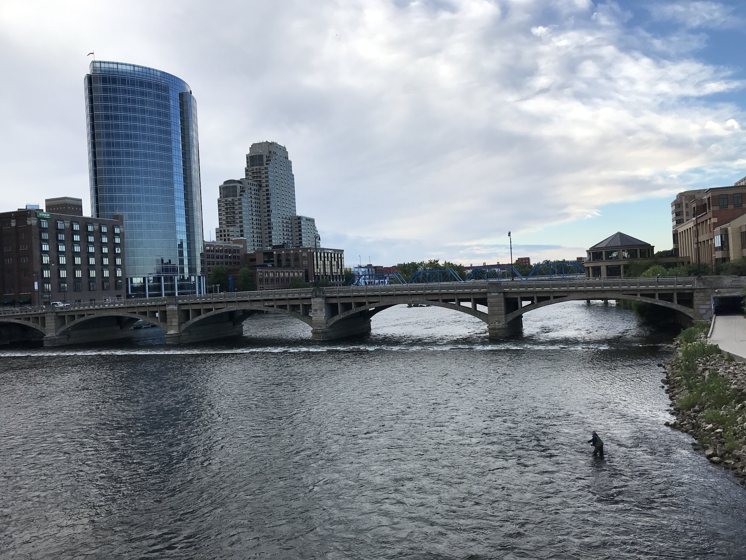

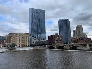

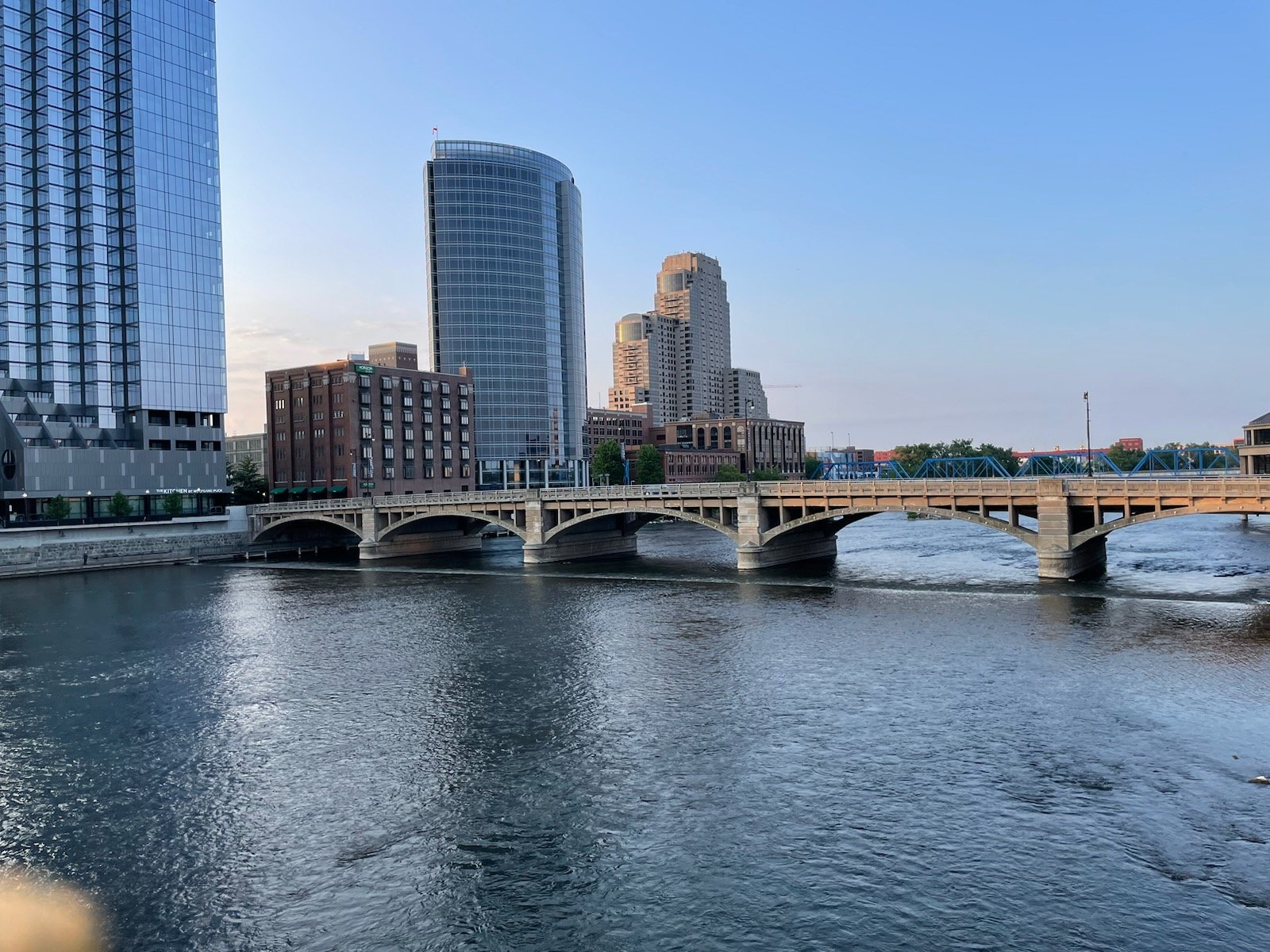


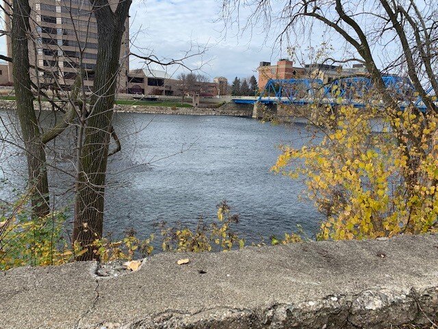


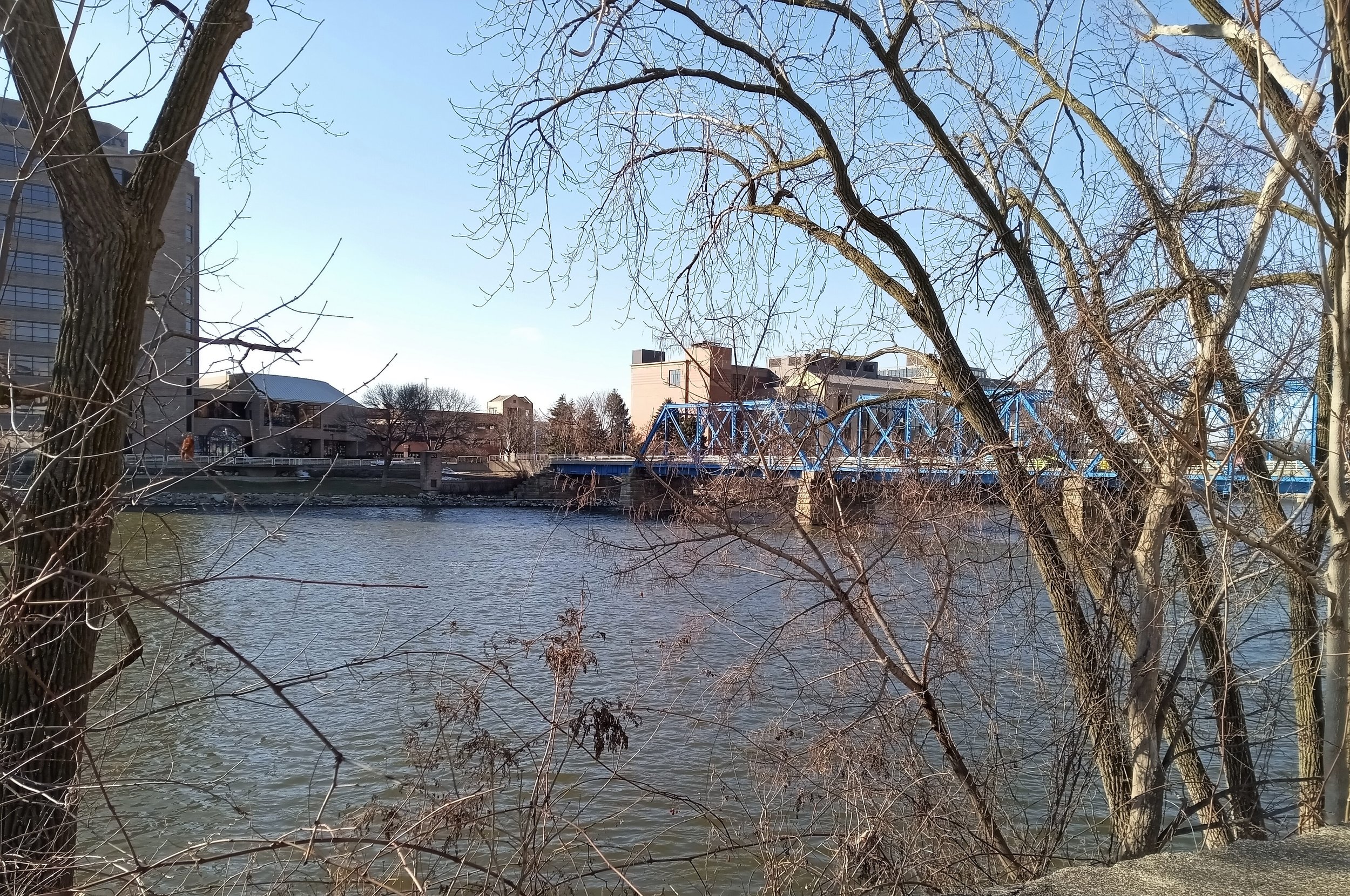

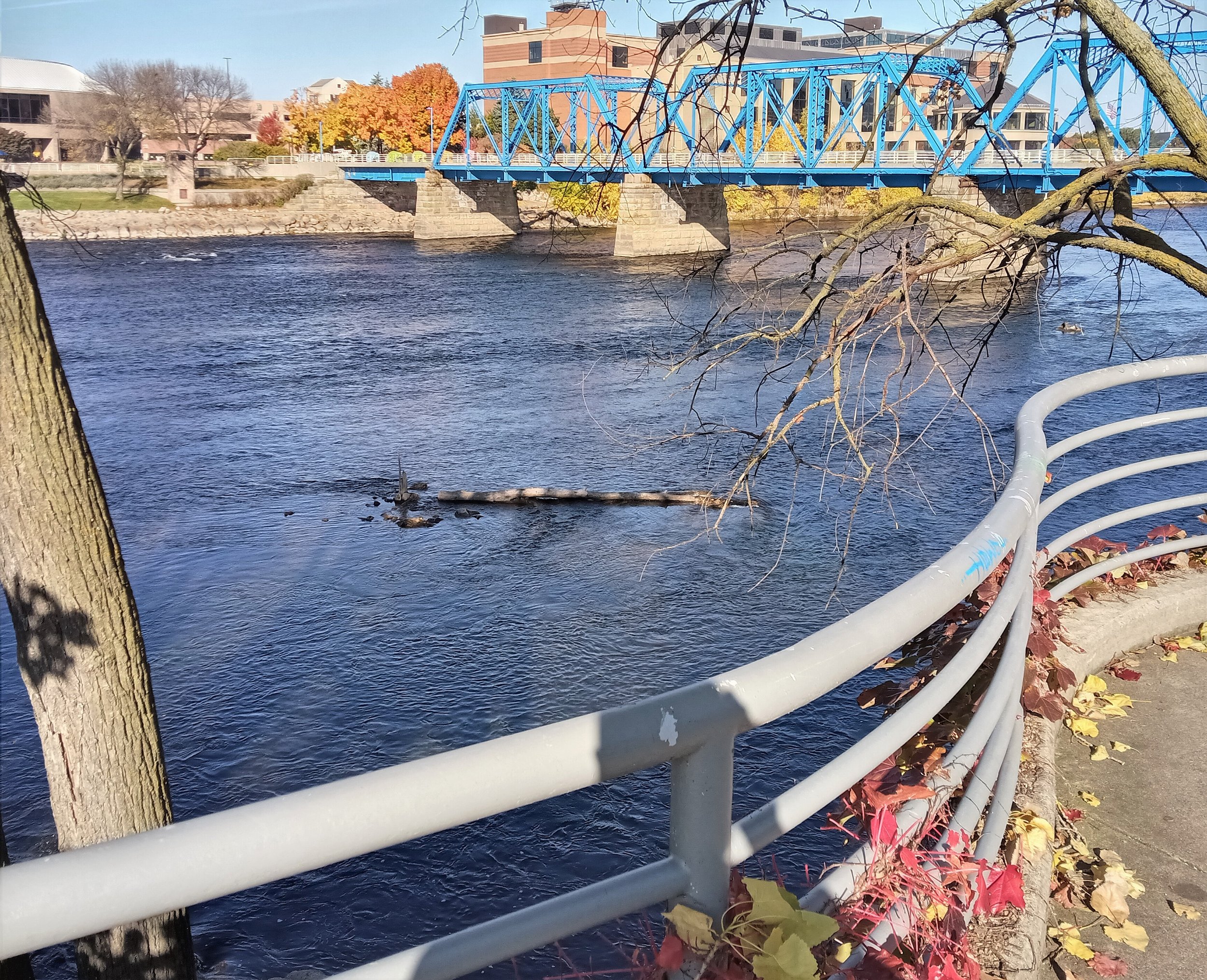


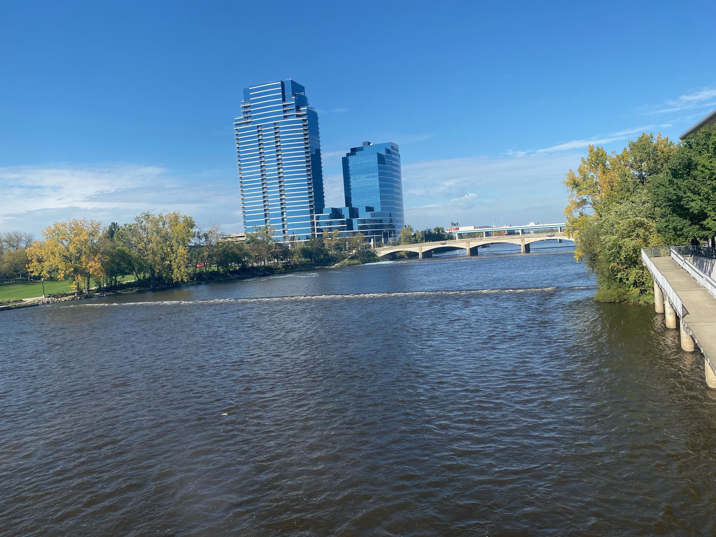


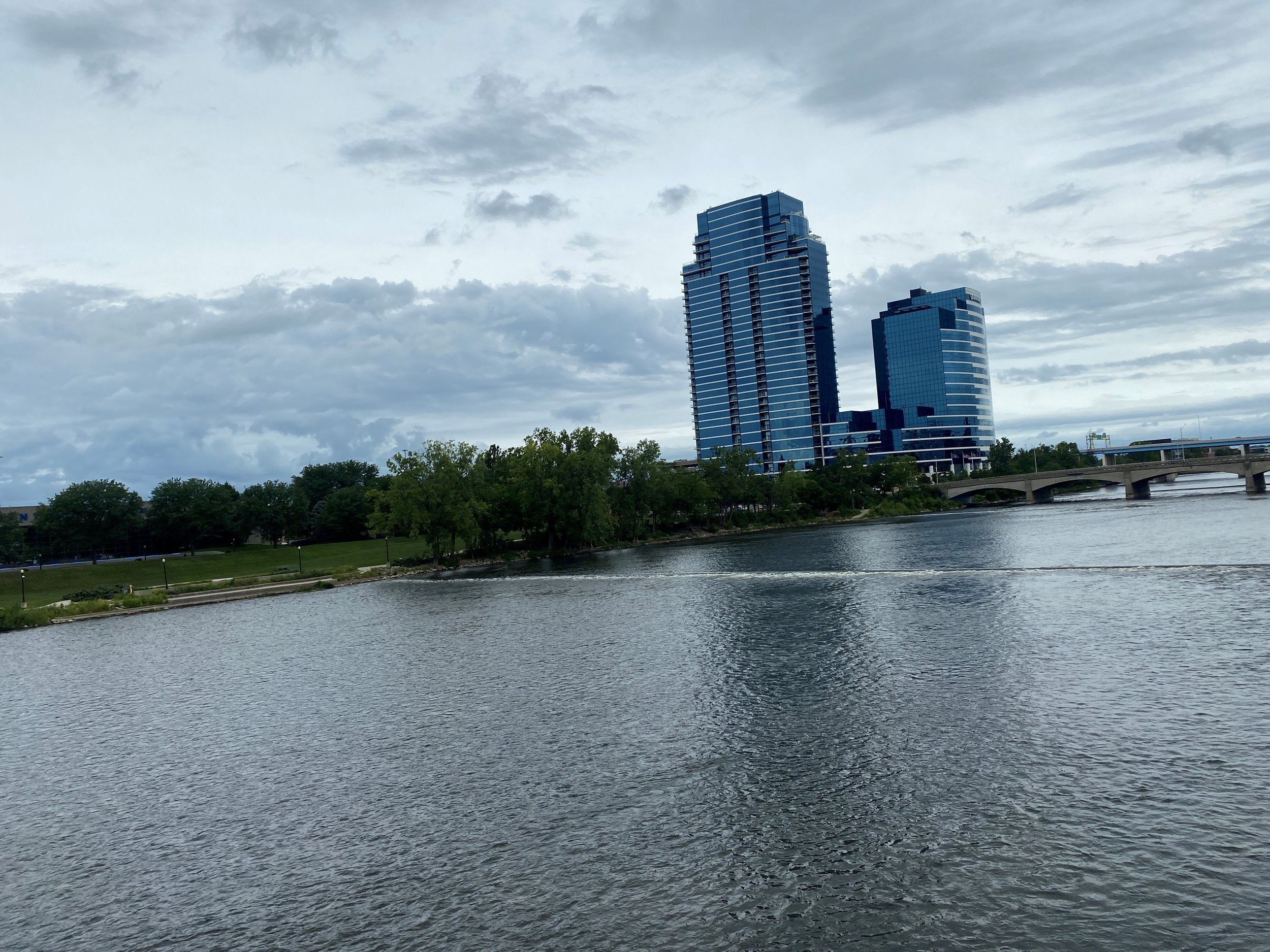


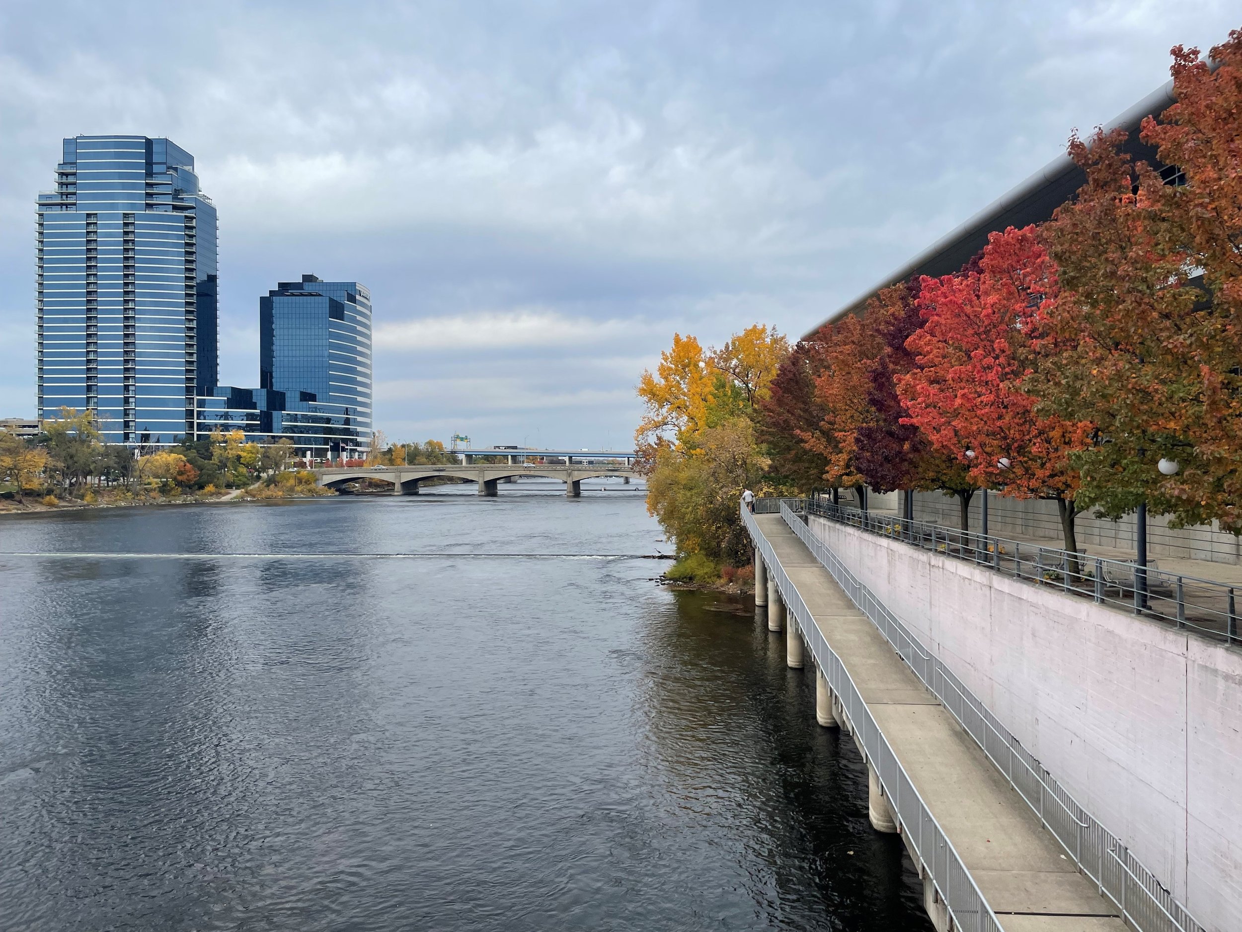


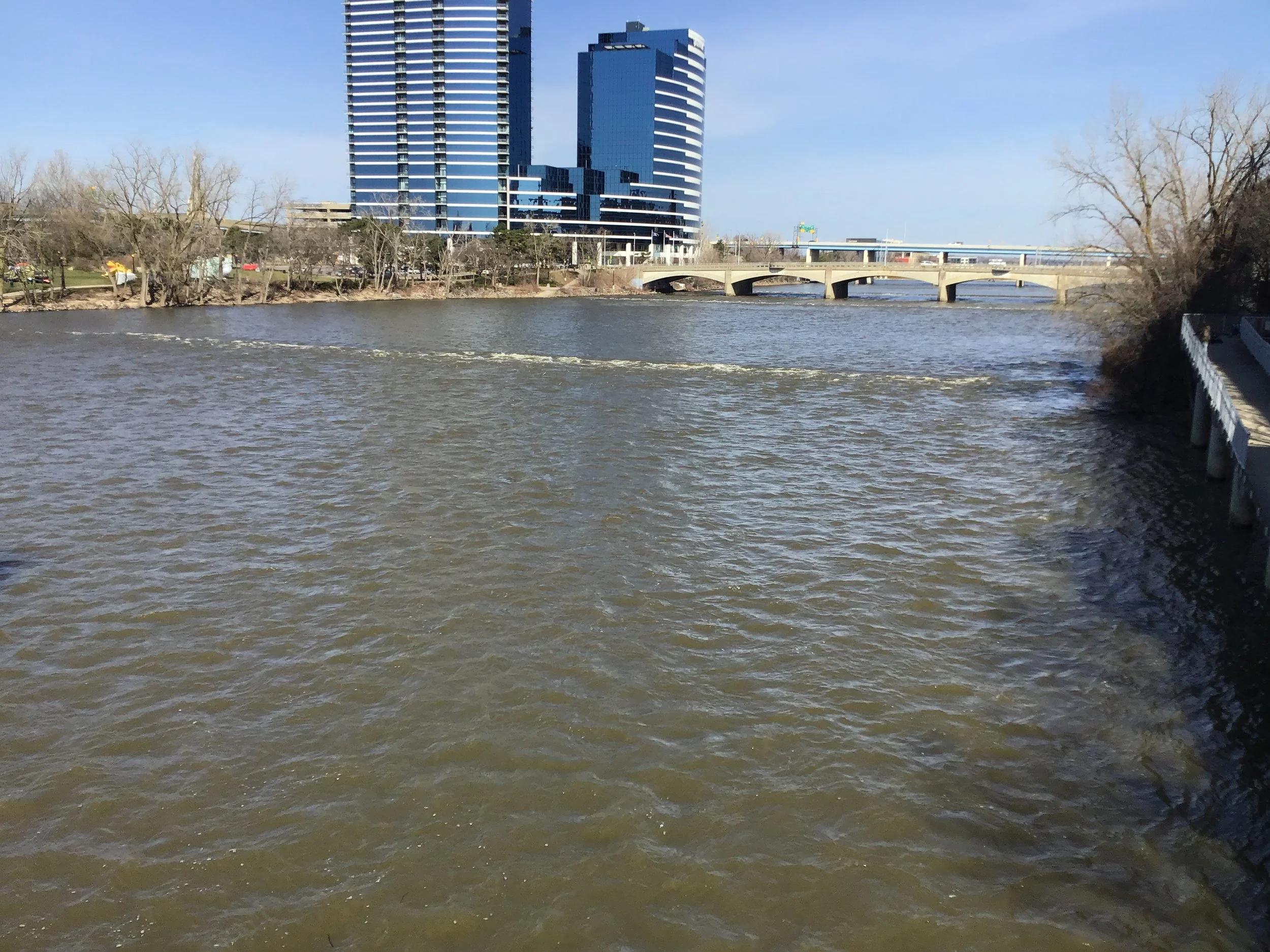


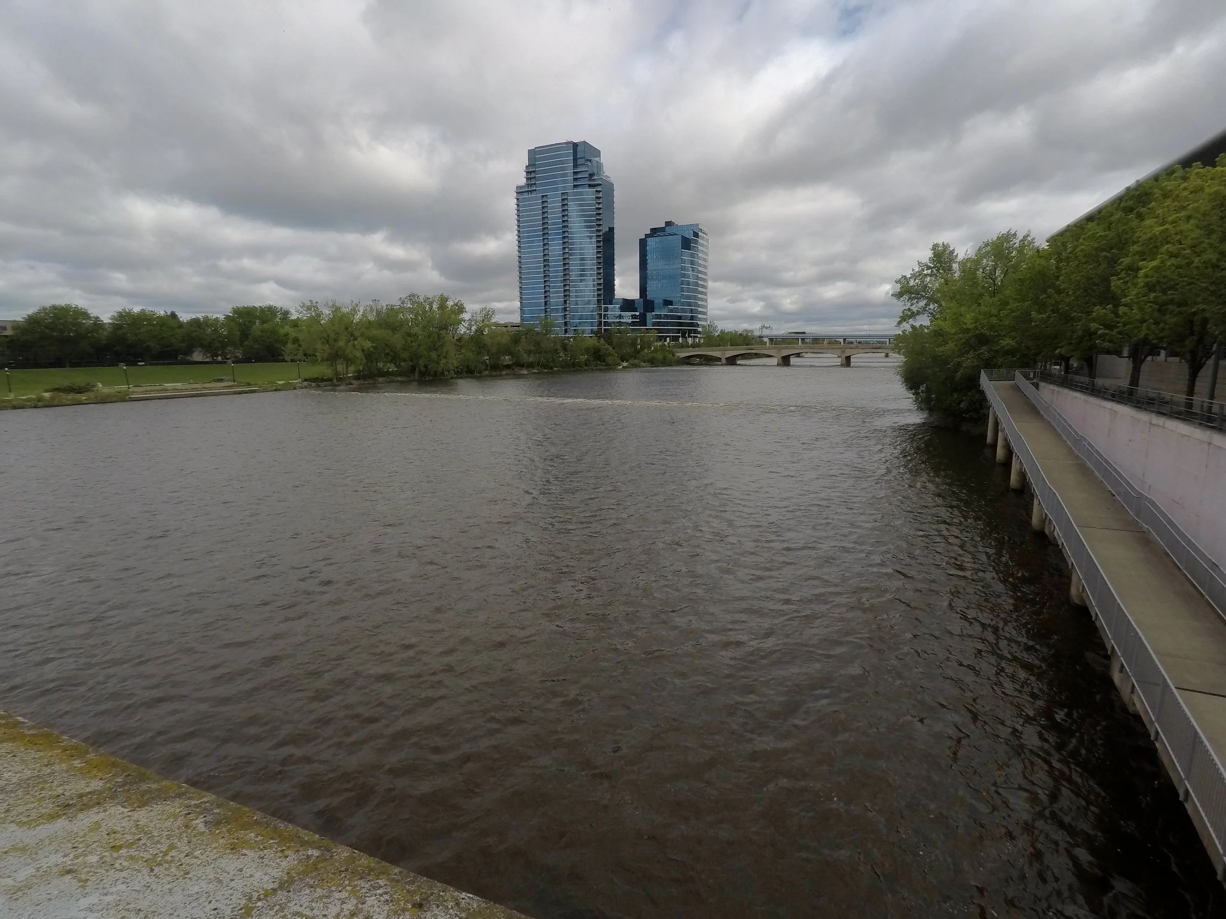

Archived Photos :