
What is a Watershed?
A “watershed” is an area of land, defined by hills and ridges, that drains to a common body of water. Groundwater and surface water are connected within a watershed, and both supply our drinking water, agricultural irrigation, and manufacturing processes. The Lower Grand River watershed offers opportunities for recreation, like fishing and paddling, and provides vital habitat to plants and animals. It is important to protect the quality of our watershed because human activity can create various forms of pollution, including runoff and erosion, which interfere with the health of the watershed.
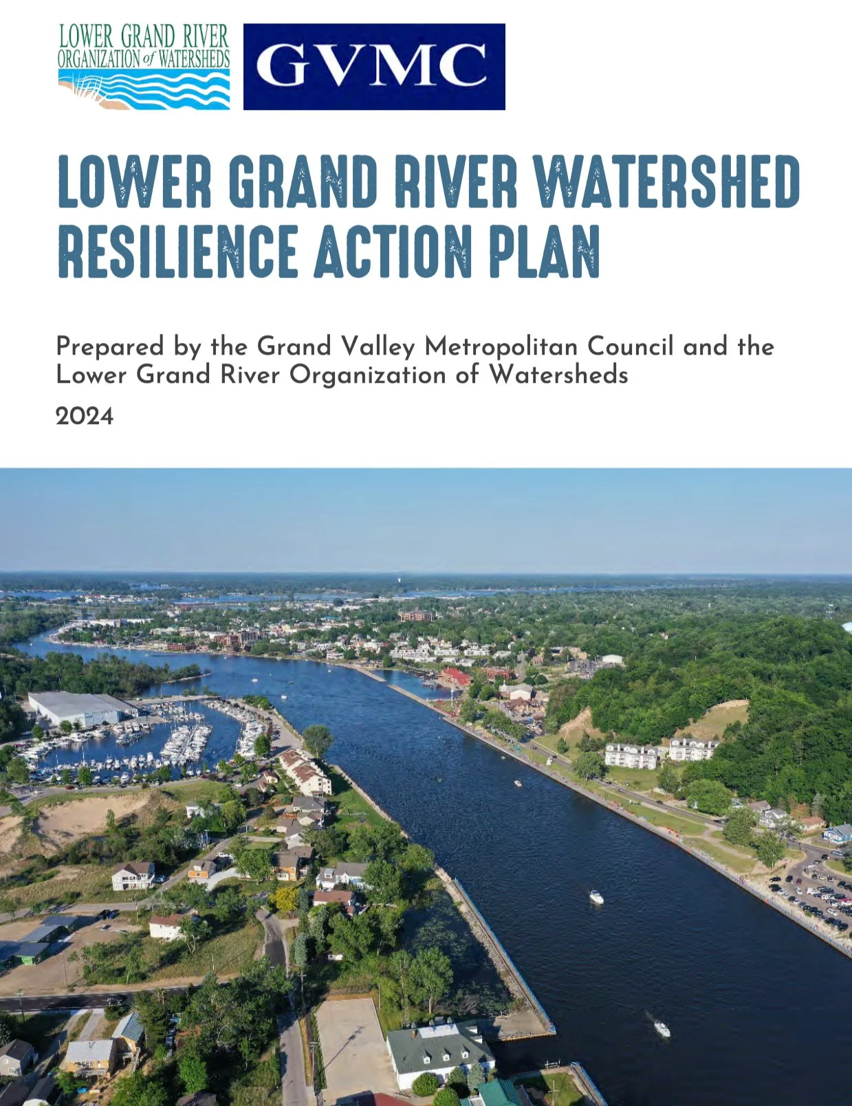
The Lower Grand River watershed area is very large covering nearly 3,000 square miles of land from just west of Lansing to Lake Michigan, as far north as Montcalm and Newaygo Counties, and as far south as Barry and Eaton Counties. Besides the Grand, other rivers that drain their own smaller watersheds within the LGROW watershed area include the Thornapple, the Flat, and the Rogue Rivers as well as scores of other smaller tributaries, creeks, and drains, one of which is probably very near your home. Read more in the Lower Grand River Watershed Management Plan.
Watershed Resilience Action Plan
LGROW has completed the Lower Grand River Watershed Resilience Action Plan, which characterizes the threats and vulnerabilities the watershed faces from a changing climate and the resources and strengths it possesses for building resilience. This is a living document that is meant to be changed as directed by the Lower Grand River Watershed subwatershed groups. Learn more through the interactive story map below.